Tuesday, July 21, 2020
We spent several days in the Bonner’s Ferry area, doing day hikes in Idaho’s Selkirk Mountains. The first hike we did was to Two Mouth Lakes. We drove up Road 633, which is a good gravel road. I’m always keeping my eye out for dispersed camping when we visit places, but didn’t see any obvious spots along this road. The trailhead is completely unsigned, but it is on Road 633, where Road 658 intersects and heads uphill.
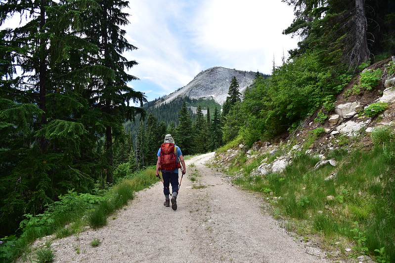
We started hiking at 9:30. The first 1.5 miles is on Road 658, a gated logging road on a private parcel of land owned by Hancock Forest Management. Until 2016 – when Hancock improved and lengthened the road for logging – this was a disused road.


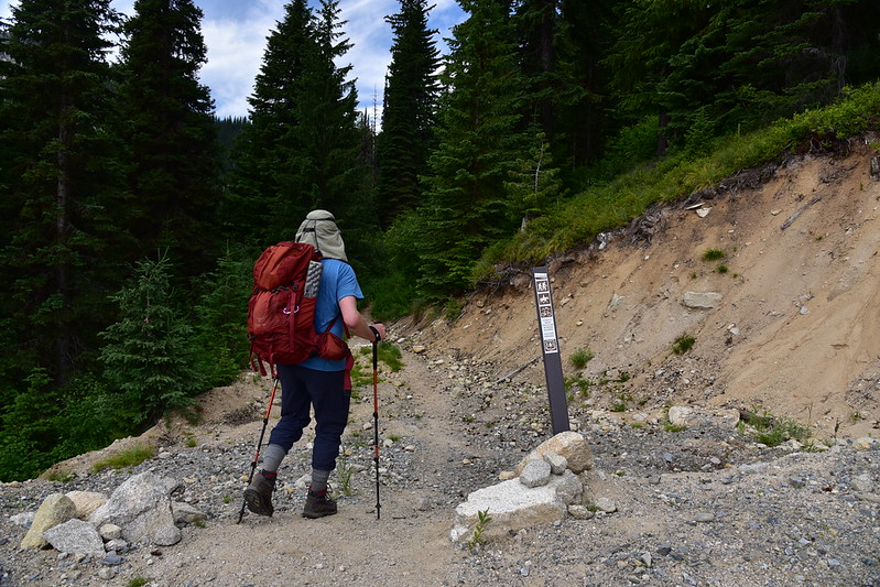
After 1.5 miles and 550′ of elevation gain we left the road at a switchback at the Hancock property boundary and started on the trail into the national forest:

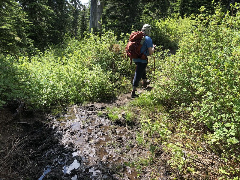
Plenty of muddy sections:
In one of those muddy spots we saw this big hoof print. Not sure if this is elk or moose:

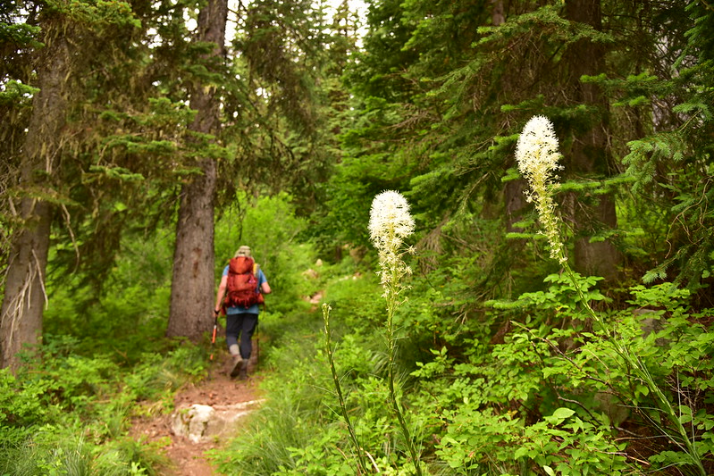
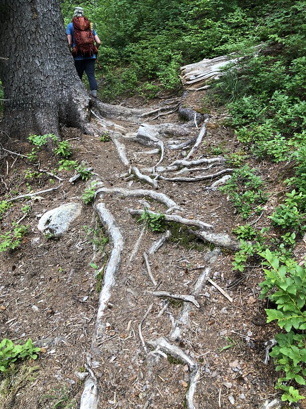
Some parts of the trail were rooty:
The Forest Service has tried to address some of the muddy sections with boardwalks, like this nice long one 2.5 miles into the hike:

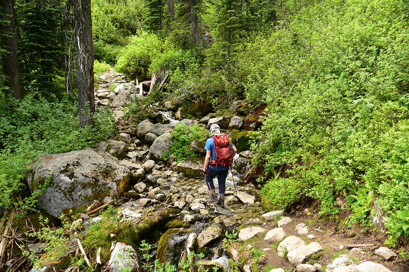
We crossed Slide Creek at 3.2 miles:
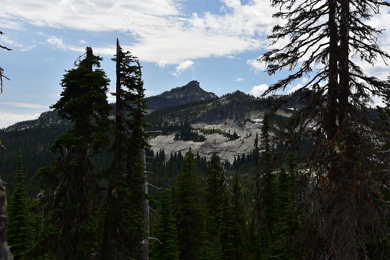
At 3.4 miles we passed a rocky outcropping with a pretty nice view:

A glimpse of Harrison Peak in the other direction:
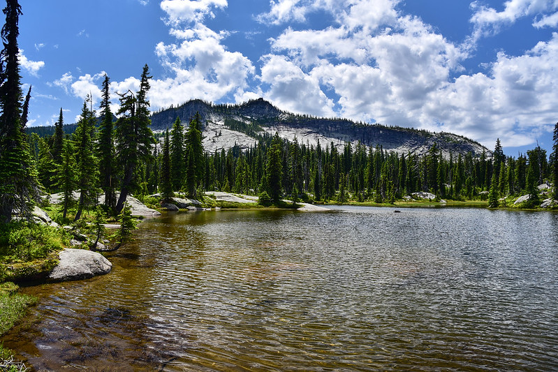
At 3.6 miles the trail crested the ridge and dropped down to the lakes. We reached the lower lake after hiking 4.2 miles. This place is quite popular with both day hikers and backpackers on the weekend, but on this weekday we only saw one other couple. It was pretty windy so the mosquitoes didn’t bother us much:


This is where the creek flows in at the head of the lake:

We spent several hours enjoy the lake and the views before hiking the 0.4 miles to the upper lake:

The upper lake is pretty, but not as nice as the lower lake:


There was a nice patch of beargrass blooming here:

Then we began the long hike back to the car, which we reached at 5:30pm.
Gaia total: 9.1 miles, 2,000′ elevation gain.
See other posts from this trip:


