Sunday, July 19, 2020
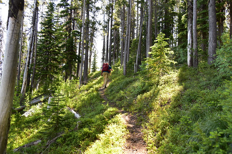
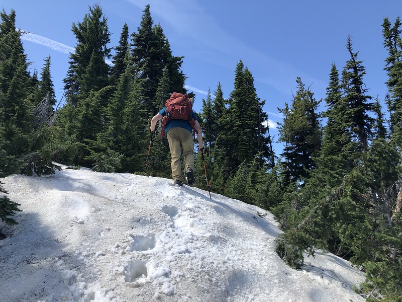
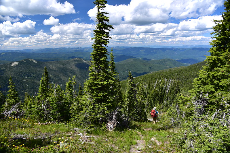
The second hike we did while staying at Up Up Lookout in Montana’s Lolo National Forest was to Eagle Peak. Our drive was very short since the trailhead was very close by, right by the gate that is three miles before the lookout. I wasn’t able to find much about this hike online, so I didn’t know what to expect. I was pleasantly surprised to find that Up Up Ridge Trail #250 was in very good shape as it climbed up through the forest:


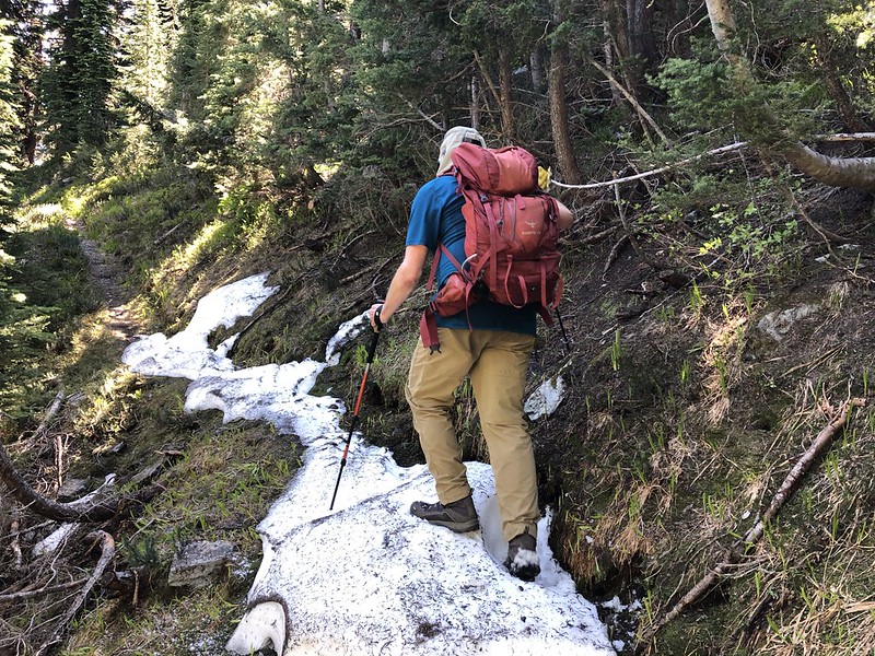
Until we got closer to the summit there was only one snow patch on the trail:
The trail reached a meadow on Gold Peak, which I apparently didn’t take any photos of. The actual summit was a bit to the north and we decided to wait to visit that until the hike back down (although we later changed our minds and didn’t go there at all.) The trail through this meadow was very easy to lose and we had to follow some old cairns and do some sleuthing to determine our route.
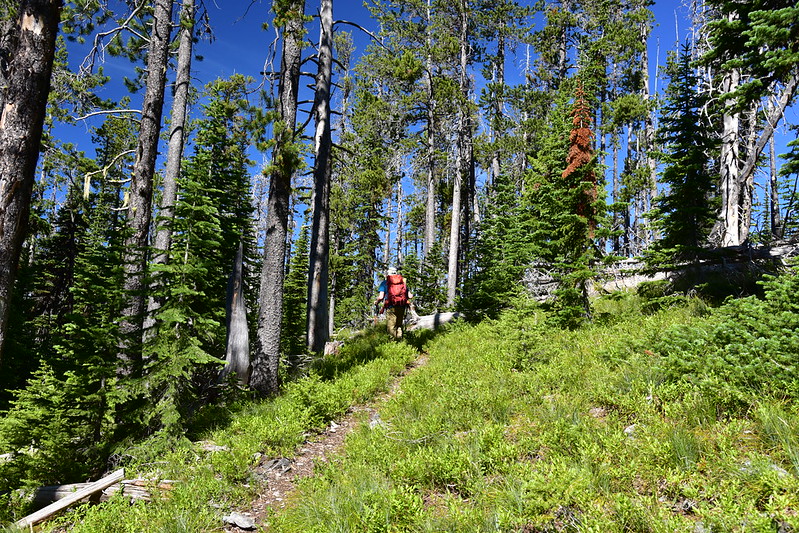
We continued south. That’s Eagle Peak straight ahead:

Last push to the top, with a few snow patches to navigate:

There was a big pile of rocks on the summit:

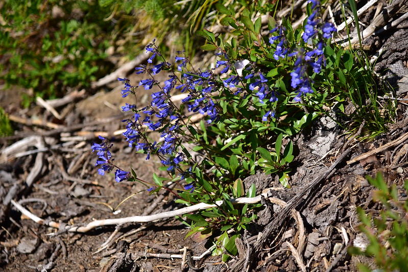
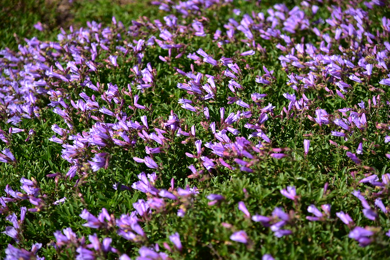
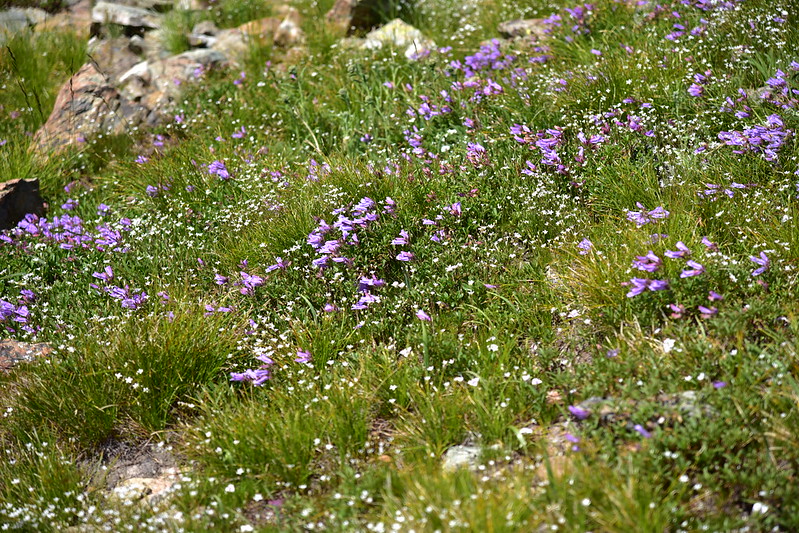
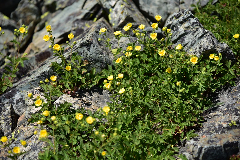
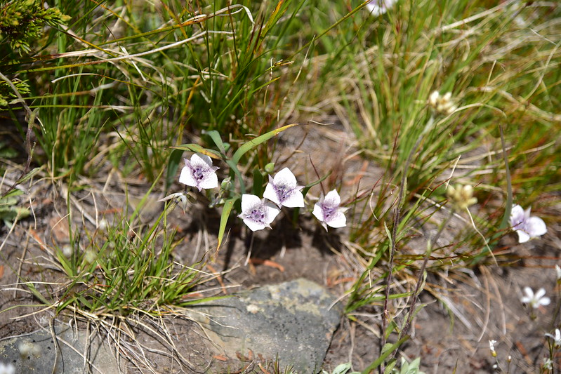
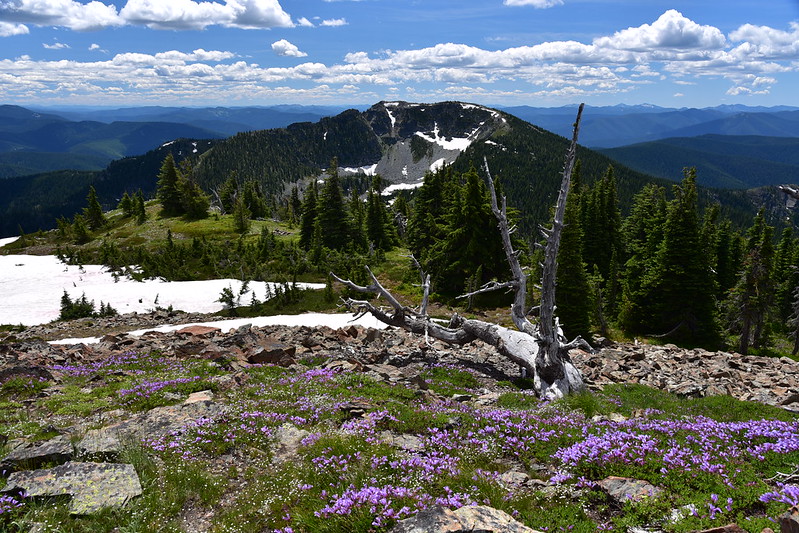
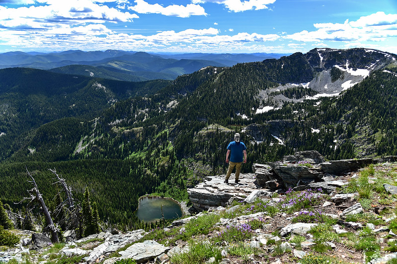
We were pleasantly surprised by the abundance of wildflowers on the summit:


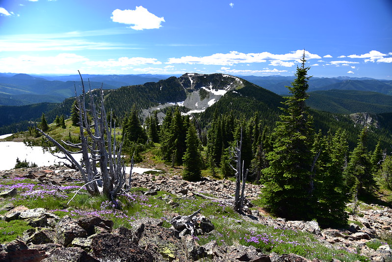
Eagle Peak was one of three lookout sites in close proximity to each other. Gold Peak had a series of lookouts until the 1950s. Eagle Peak had a camp in the 1930s. Ward Peak also had a lookout until the 1950s. The photo below shows Ward Peak to the south. Currently the Up Up Ridge trail continues around the west and south sides of the mountain, but doesn’t go to the top. On satellite images, though, I can see a trail that goes to the summit:
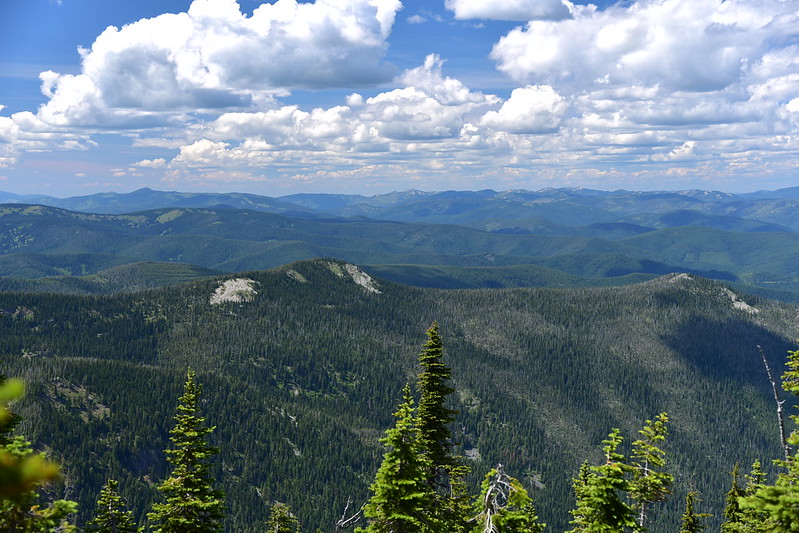
Looking west:

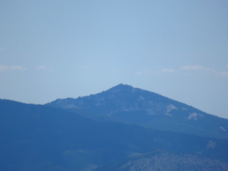
We could see the distant lookout on Snow Peak through the binoculars:
Looking northwest:
Below is a zoomed-in shot to the north. I think these might be the Cabinet Mountains:

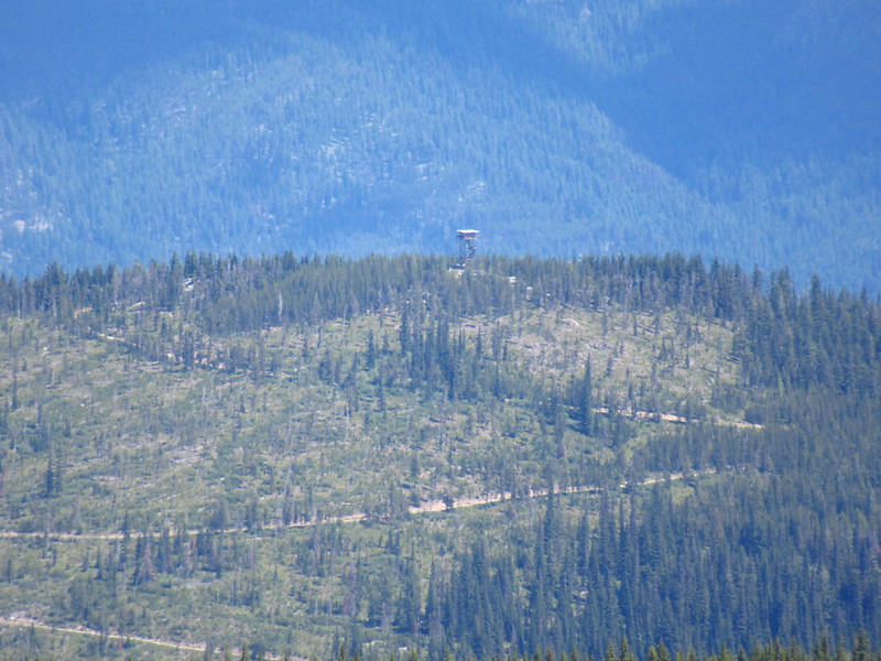
This is looking north with Gold Peak on the left and Up Up Mountain (with it’s clearcut) poking up behind the ridge to the right of Gold Peak:

A close-up of the Up Up Lookout:
The summit area is pretty big and we explored north a short distance to see if we could see down on Hub Lake, where we had been the day before. Sure enough:

We got a glimpse of Hazel Lake:

We also got a glimpse of the unnamed lakes above Hazel Lake. The outflow from these lakes cascaded down to Hazel Lake in a series of waterfalls that we could sort of see yesterday:

Mary Lake above Hub Lake:

We came across these strange rock-lined pits and wondered if these were Native American vision quest pits:

We spent several hours on the summit enjoying the beautiful day. We had the place all to ourselves. No one came up the way we had hiked, and no one came up from the lake. As the afternoon we wore on we packed up and started heading back down:

For finding so little information about the trail this turned out to be a really nice hike. The summit wildflowers were a big bonus that we weren’t expecting.
Gaia stats: 6.9 miles, 1,600′ elevation gain
See other posts from this trip:


