Thursday, August 10, 2023
While I was in the Wallowas I hiked up to the Mule Peak Lookout.
There isn’t much information available about this hike. I was mostly following the directions in Fred Barstad’s book Hiking Oregon’s Eagle Cap Wilderness. I drove up Road 600 and reached a junction with this sign:

The Pole Creek Trailhead was what I needed. One needs to pass through a gate to reach the trailhead proper, which is just around the corner. This gate was a huge pain in the neck to open and close because the wire loop that goes over the post is too short. I would recommend that you park here and walk, however there’s no way through without opening this damn gate. If I had to do it over again I would park here, slide my pack and poles through the gate, then shimmy underneath the lowest wire. As annoying as that sounds, I guarantee it would have been less annoying than opening and closing this wretched gate:

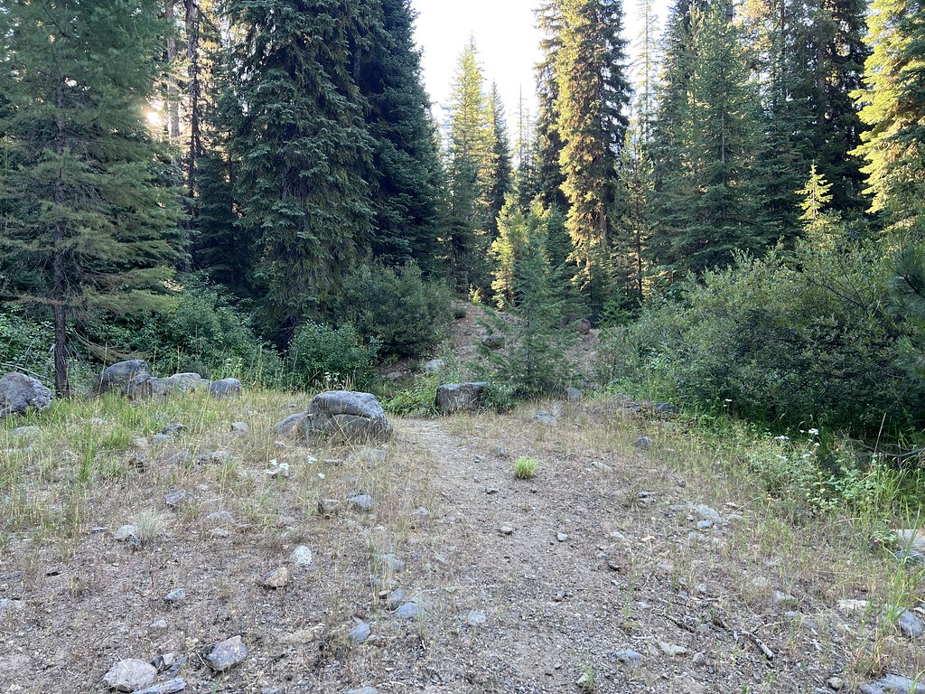
Past the gate Road 650 quickly ends in a parking area. Beyond this point the road has been decommissioned and hikers have to walk:
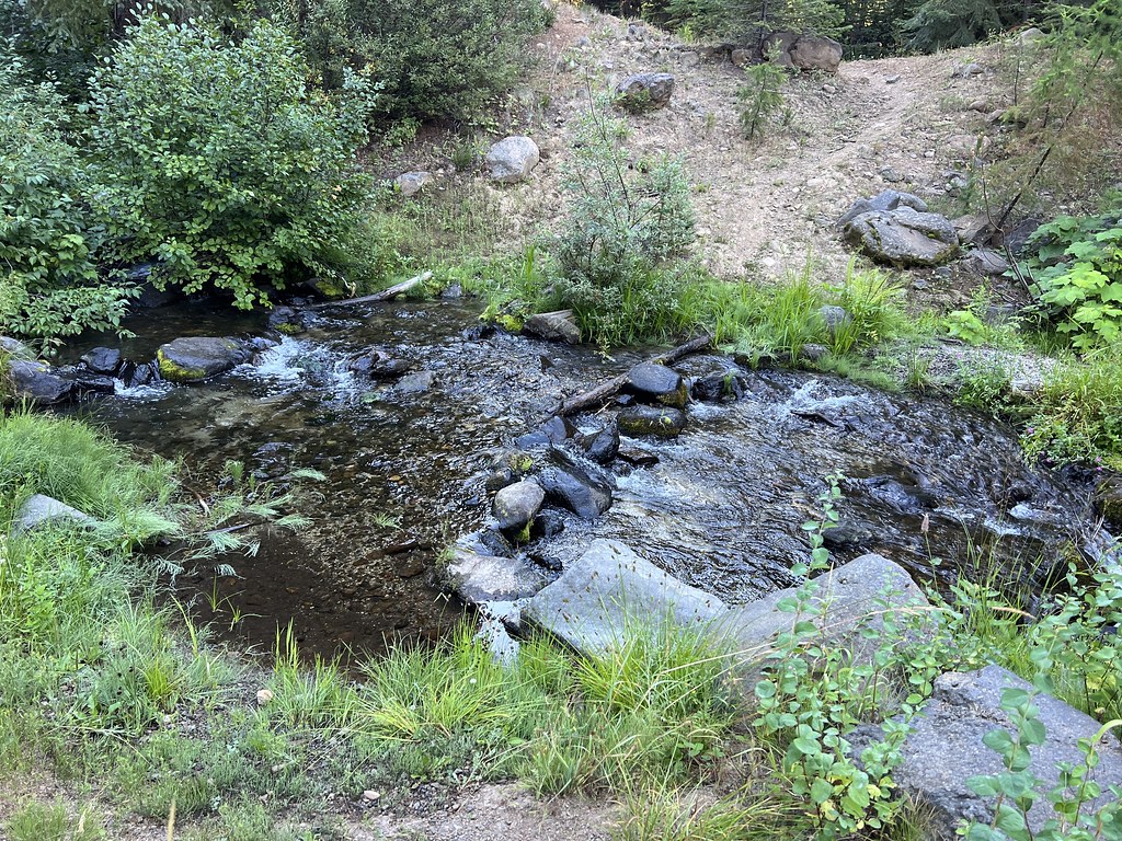
I set off at 7:35 am. First up is crossing Pole Creek:
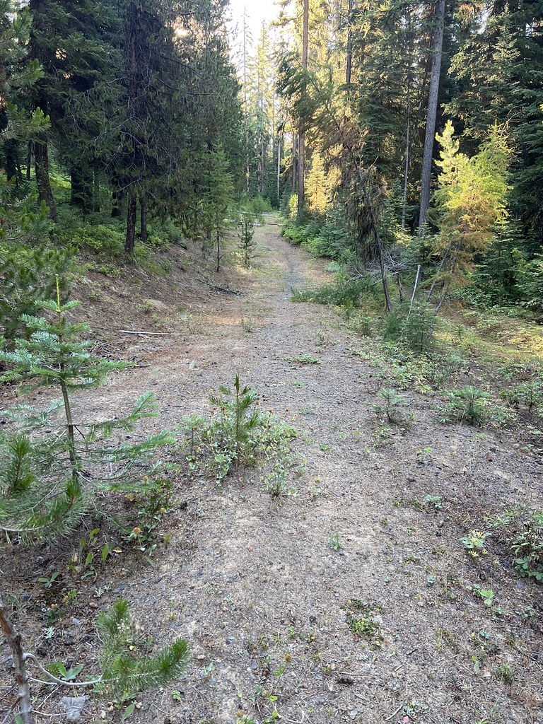
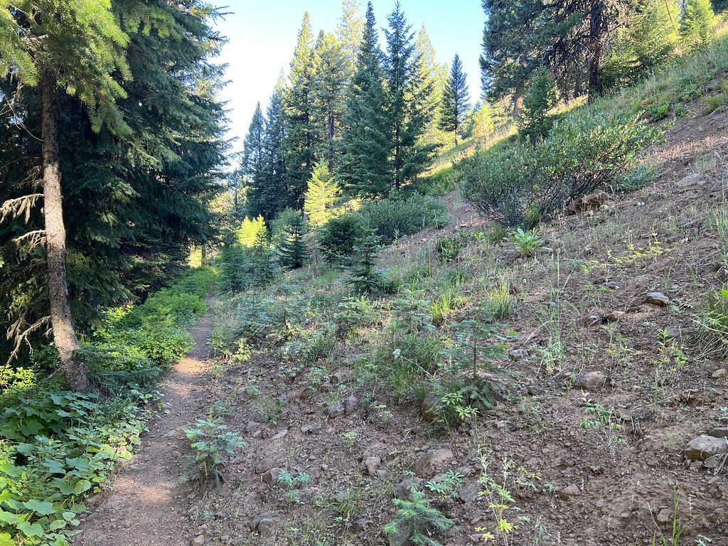
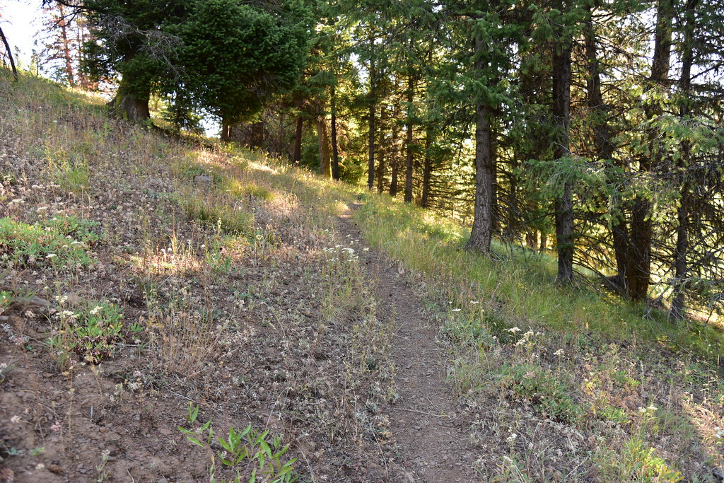
Then begins the road hiking:

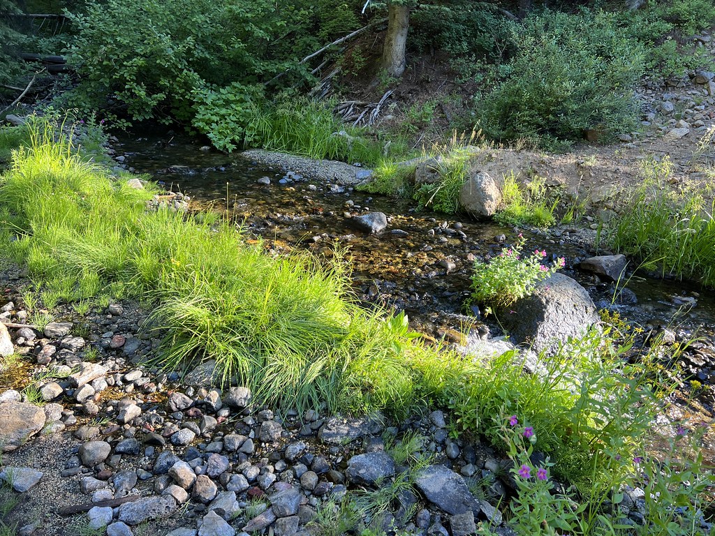
Crossing Sand Pass Creek at 0.4 miles:
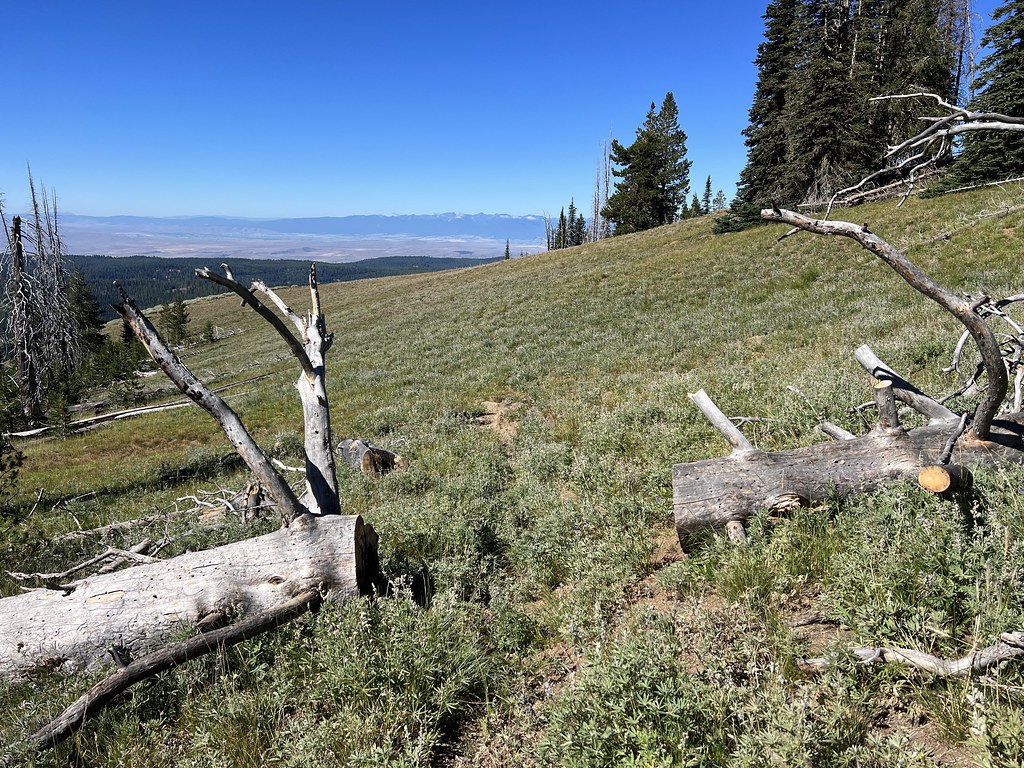
Looking back along the road. You can see how much the slope has creeped down and covered the road bed over the years:
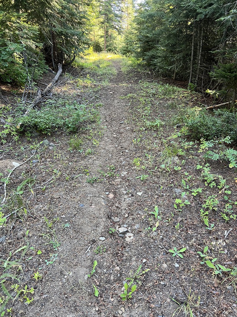
After one mile the trail forks. Just ahead is another creek crossing but I forked uphill to the left on the former path of Road 660:
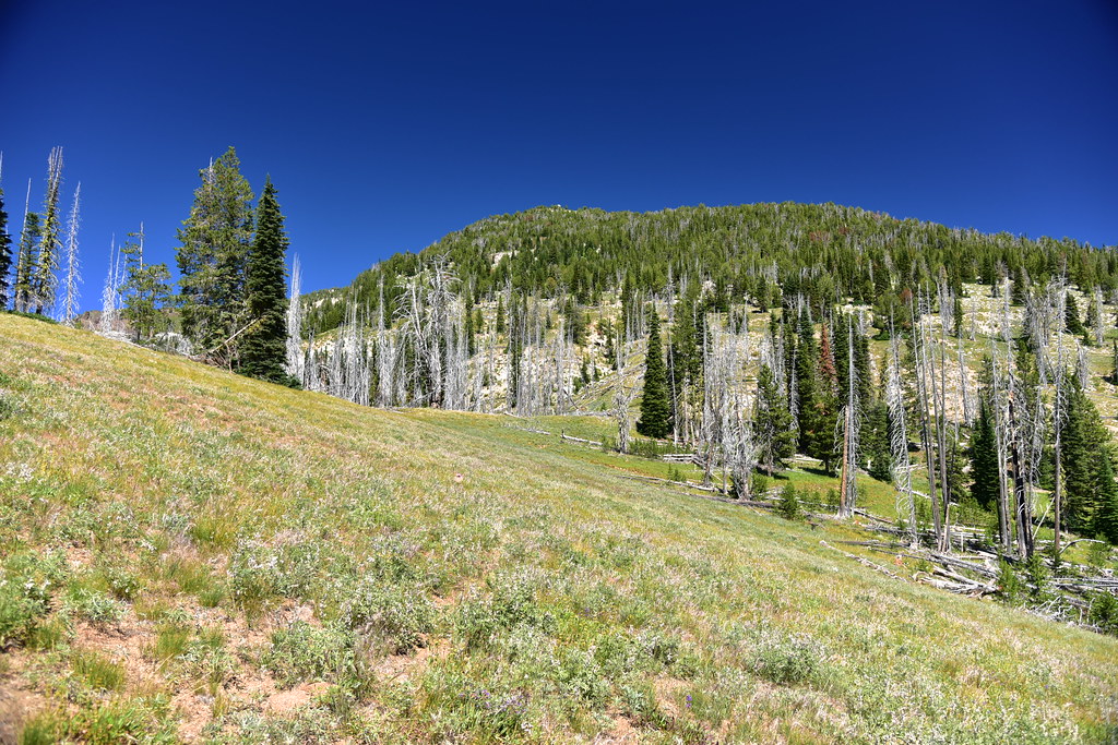
Very quickly after that I turned left to leave the road bed and follow the trail, which switchbacked up through a meadow:

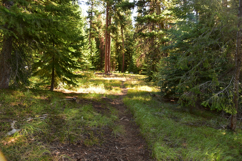
Re-entering the trees:
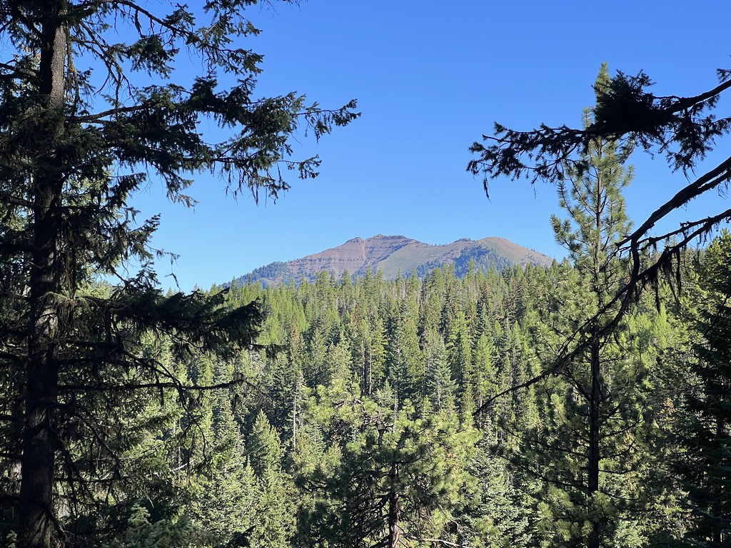
The Peakfinder app said this was Cuuy’em Butte, which doesn’t appear on my maps:
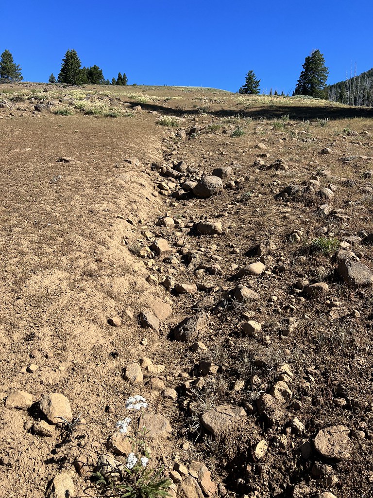
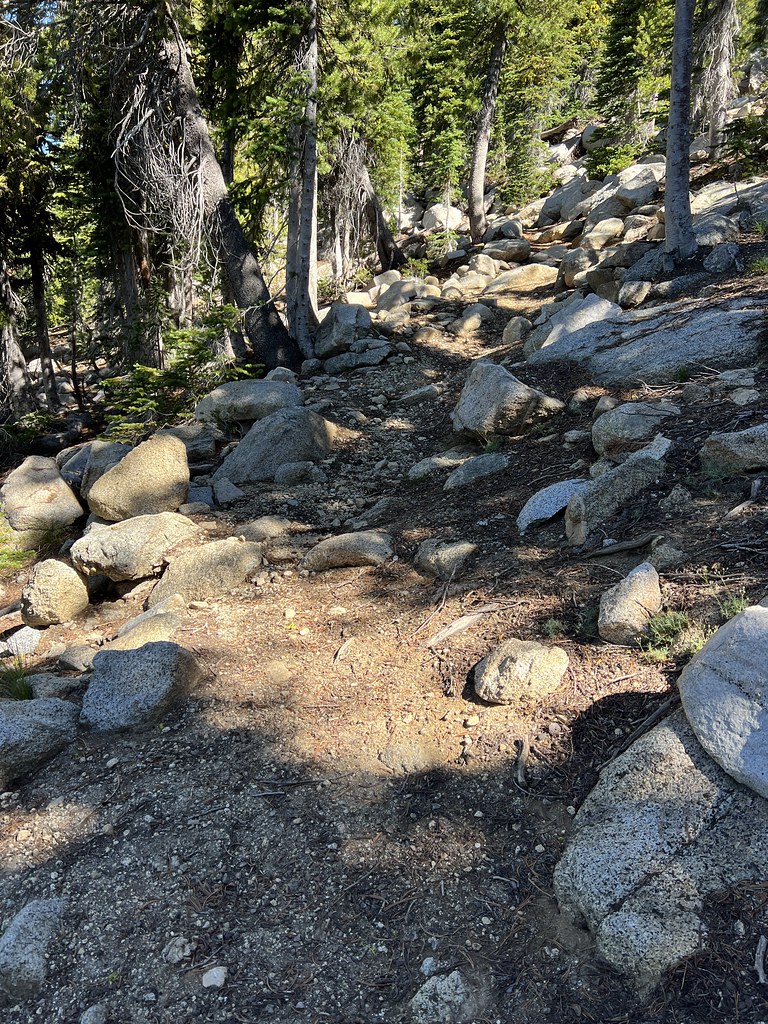
There had been a tremendous rainstorm the previous week, and there were water channels carved into the trail tread:
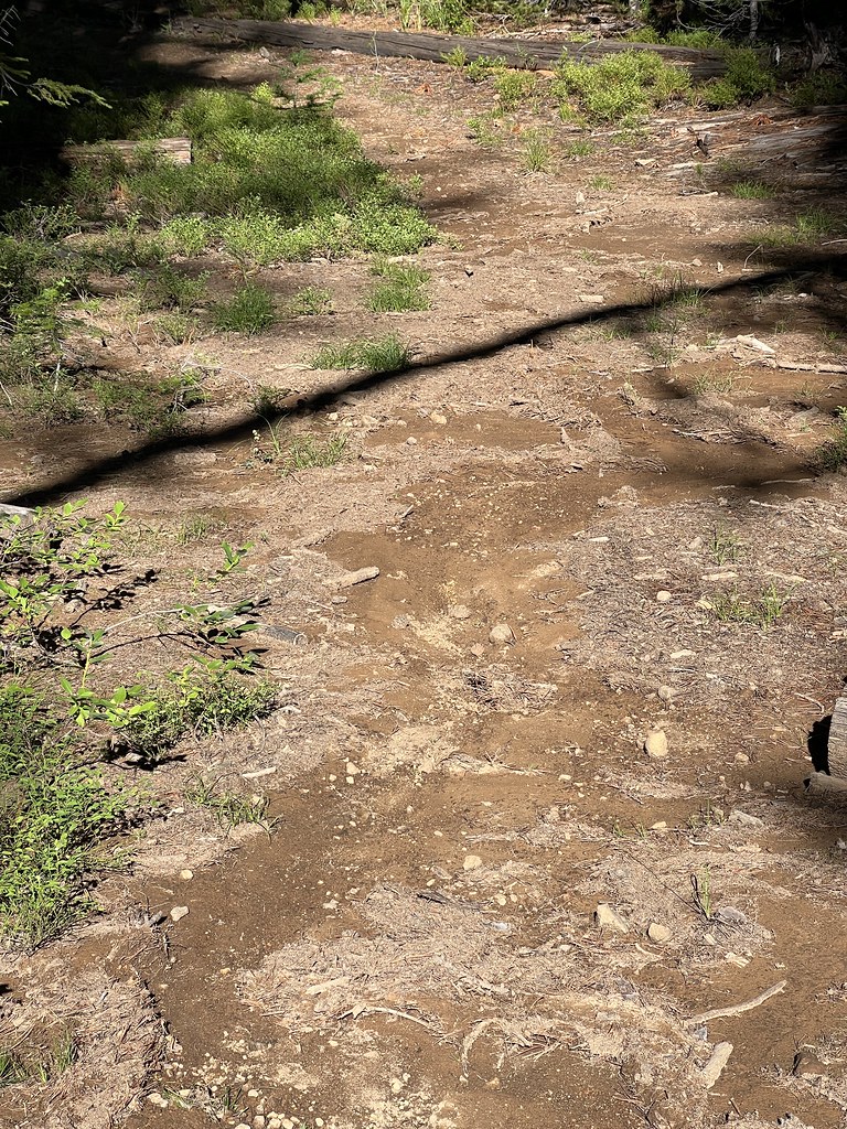
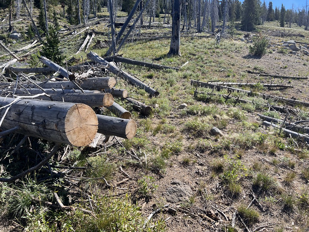
I was pleased to see evidence of recent trail maintenance:
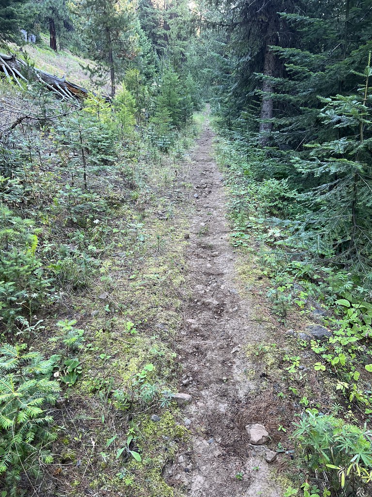
Climbing on:
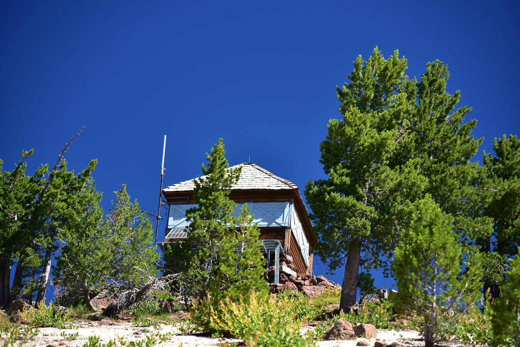
First peek at the lookout. So close, but so far:
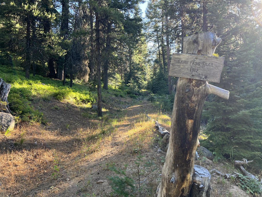
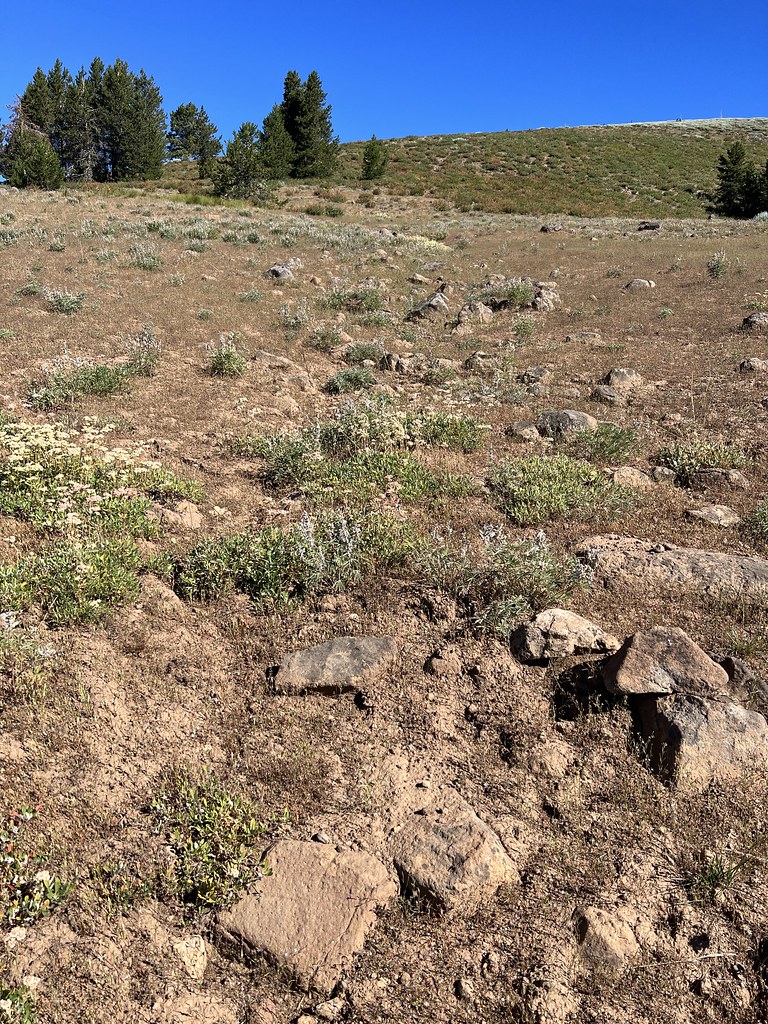
3.1 miles from the trailhead I left the Sand Pass Trail and turned onto the Mule Peak Trail. At least, I thought I was on the Mule Peak Trail. I knew the trail alignment on the topo map was incorrect, but I didn’t realize just how far off it was. I looked for several hundred feet in both directions and the best I found was rock-filled dent in the ground:

Later, looking at Google Earth, I found out that I had not gone far enough to meet up with the Mule Peak Trail. Trail lines on topo maps are notoriously wrong, but the trail on the topo map was so far off that I didn’t realize I needed to go another 0.3 miles on the Sand Pass Trail to reach the actual junction (45.11956, -117.51982). Below is a screenshot from Google Earth showing the actual route of the Mule Peak Trail. My route is in blue on the right. The spot I thought was the junction is out of frame below. I went straight up the hill instead of continuing to the actual junction at far left:
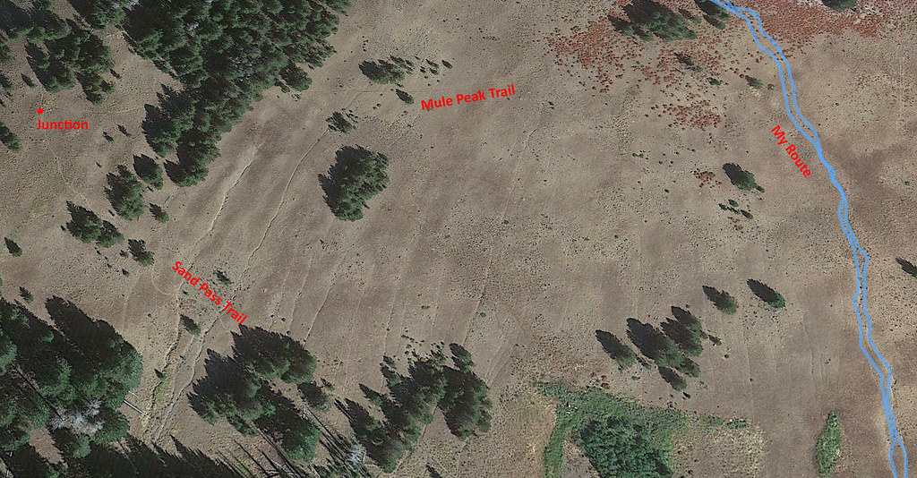
Below is the topo map with the incorrect trail line, my route in purple, and the red marker signifying the actual junction:

Anyway, hopefully that information is helpful to anyone looking to do this hike. As I climbed up the meadow I turned and looked back down the way I had come:

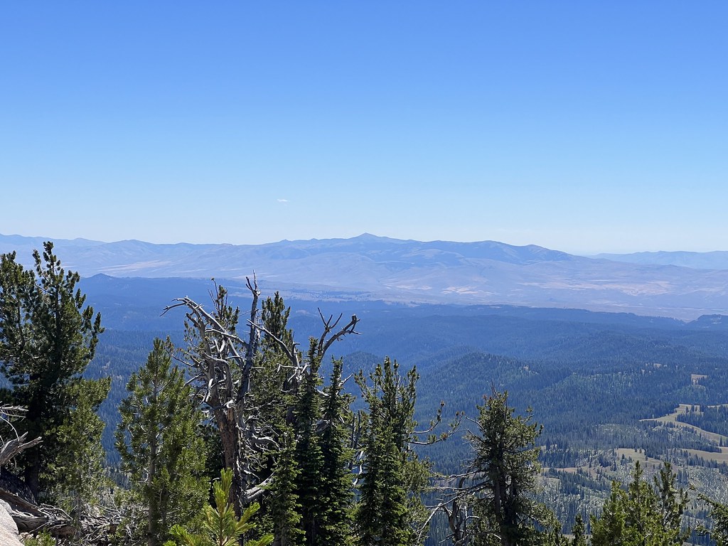
View of the Elkhorns:

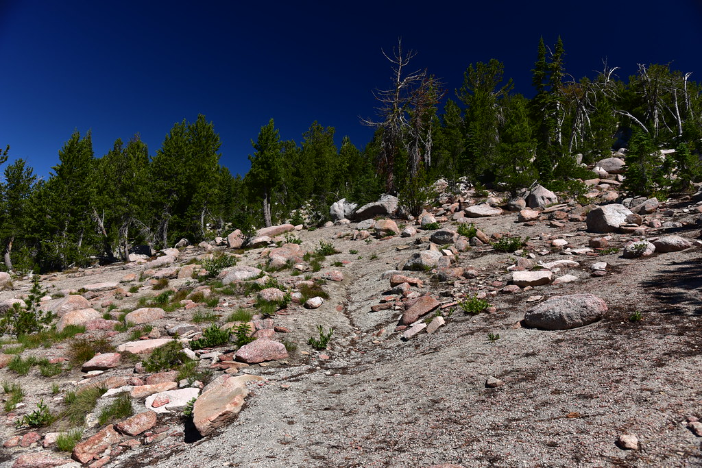
Continuing to climb up through the open rocky area. There really was no trail to follow here:
A cairn! I must be on the right track:
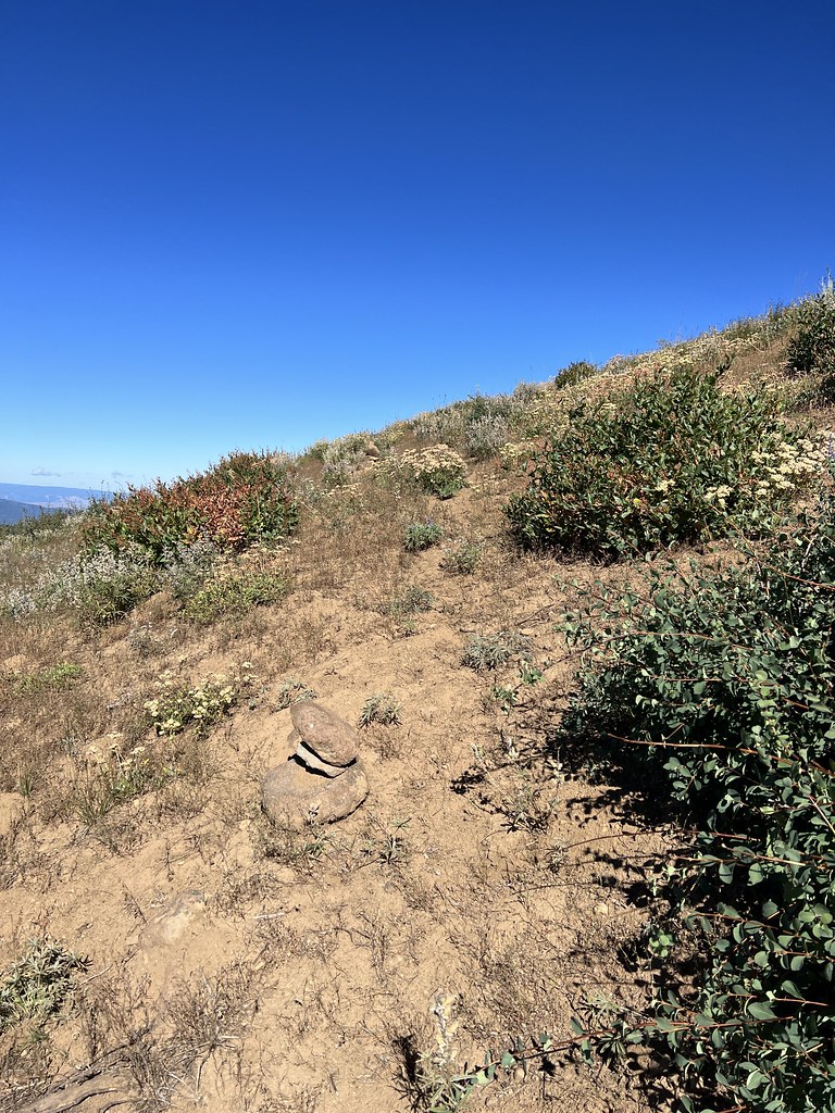
Another cairn, along with a view of Mule Peak:

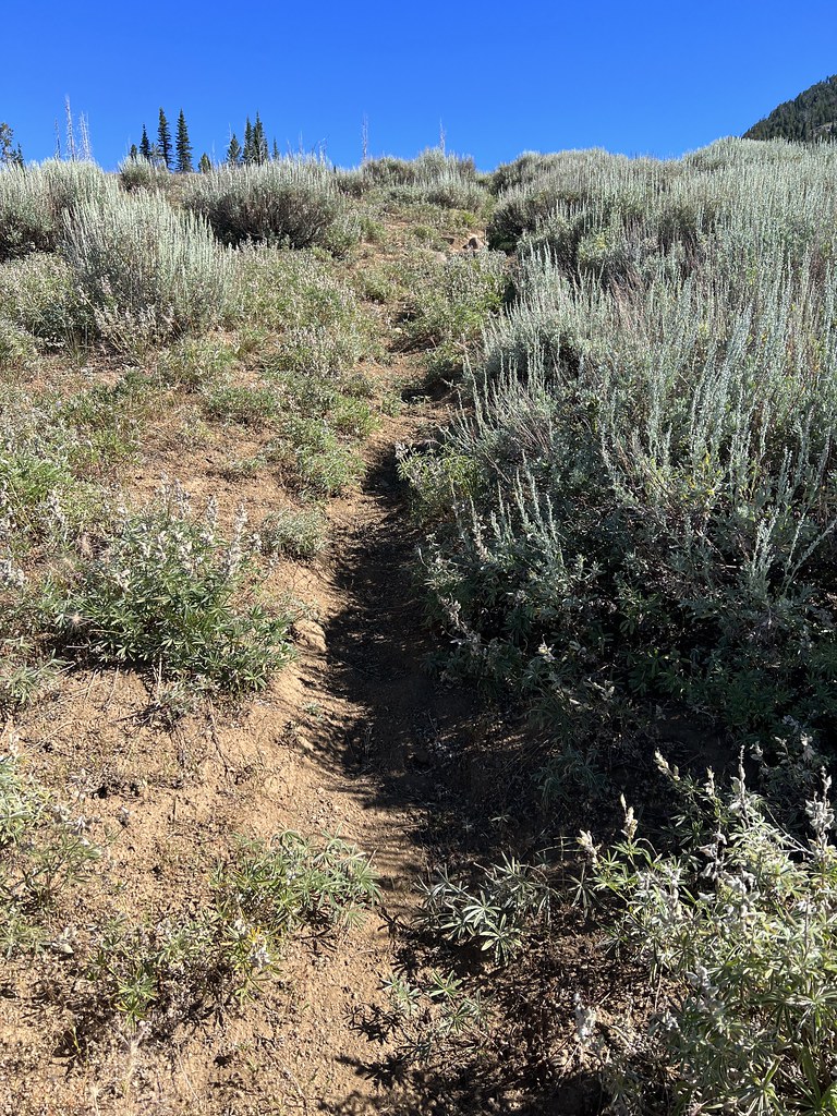
The trail was a bit more visible through here:
The trail cut across a meadow where the tread was quite faint, but at least somewhat visible. These pictures were taken on the way down when the light was better:
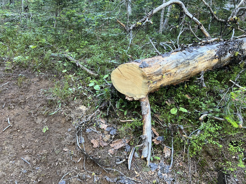
Always exciting when you see a cut log. It’s a sign of trail maintenance, which means I know where the trail is:

From here the last push up to the lookout didn’t look too daunting. I was wrong:

Looking back across the meadow with the faint trail:
The trail starts climbing up the hill amongst burnt trees from the 2005 Mule Peak Fire. The route of the trail did not follow the route on the USGS topo map or the Green Trails map:
Looking back as I pause for breath:

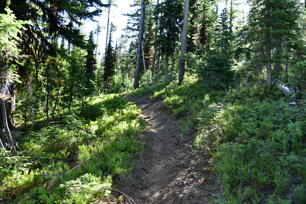
Soon the trail leaves the meadow and burn areas and enters the trees. The trail was easier to follow now:

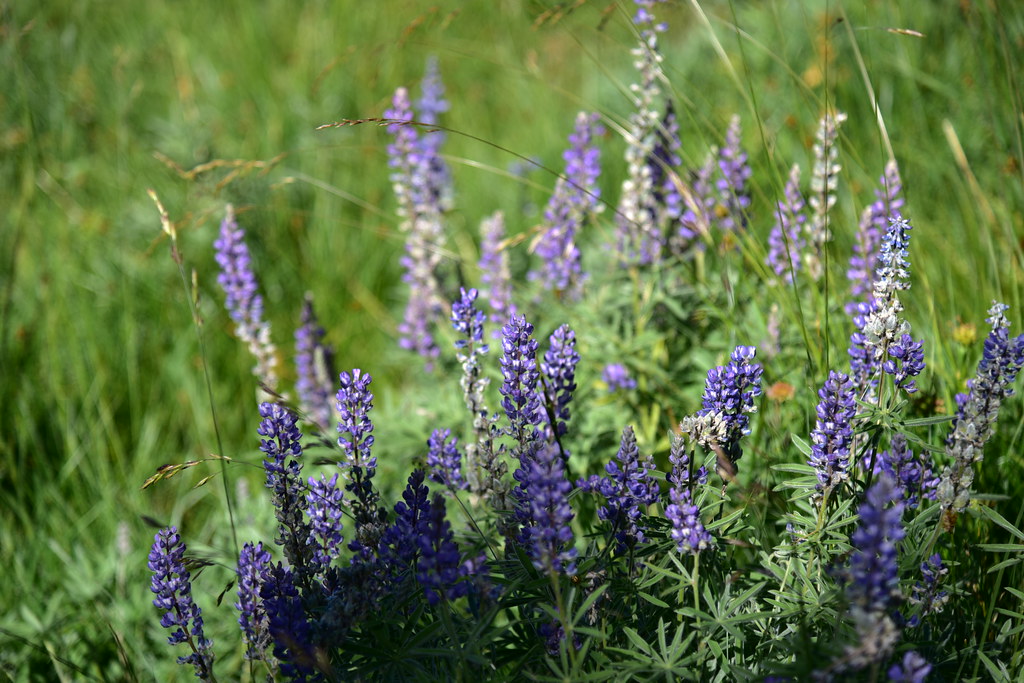
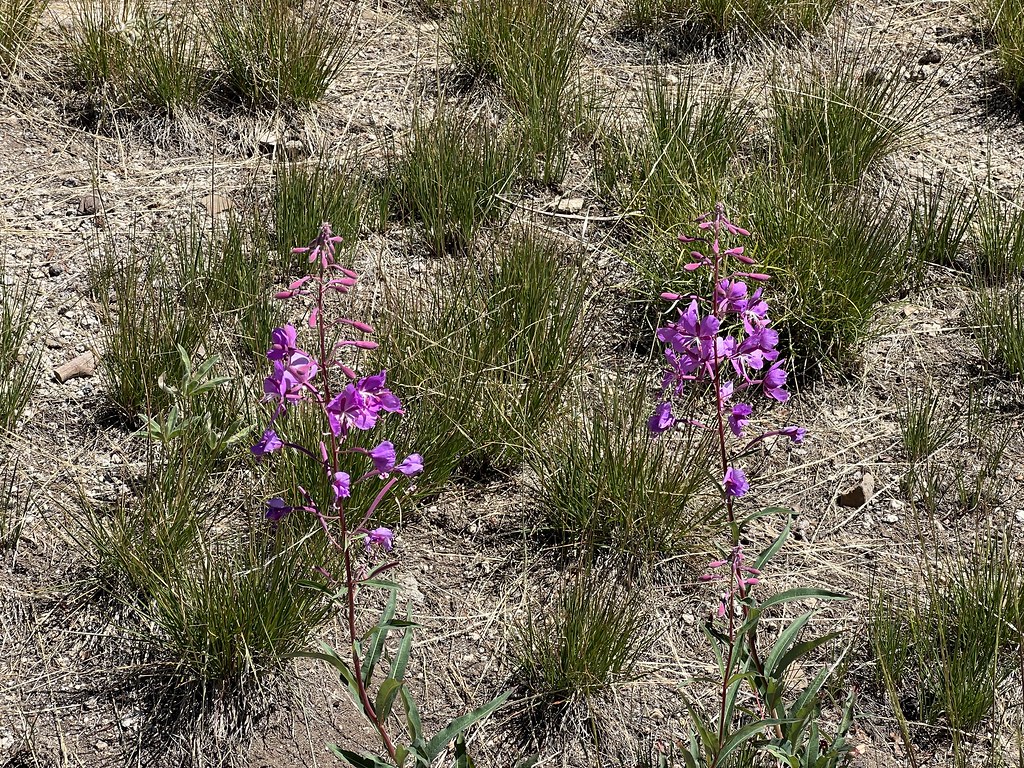
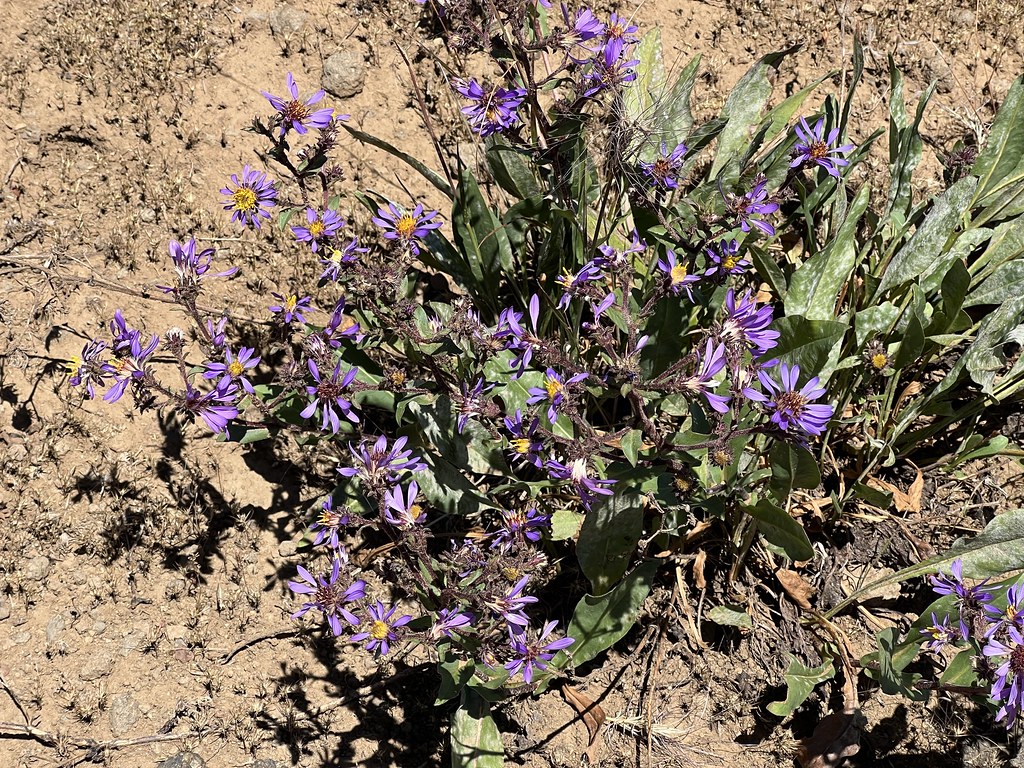
I was way too late for the best wildflower displays, but I still saw some:


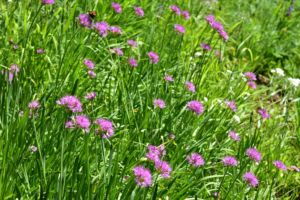
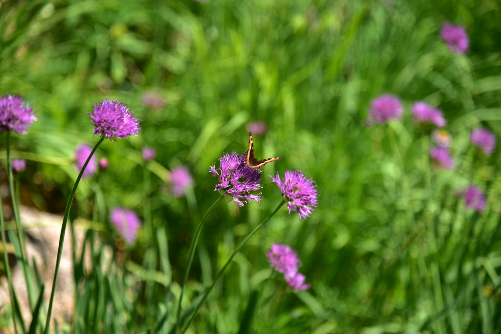
On the switchbacks up to the summit I passed a spring where everything was lush and green and wild onion was in bloom:


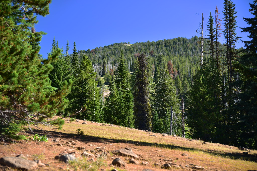
Stopping to catch my breath and admire the view of Burger Butte and China Cap:
Almost there!
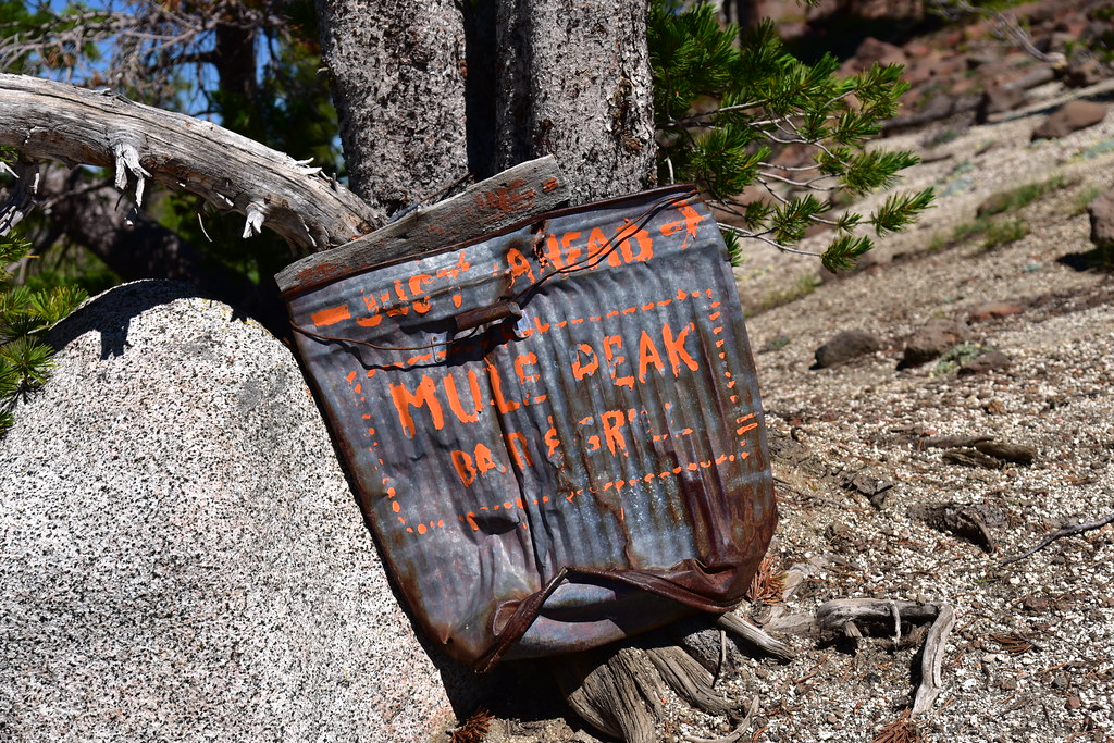
The paint is faded, but someone has painted on this smashed trash can “Just Ahead Mule Peak Bar & Grill”:
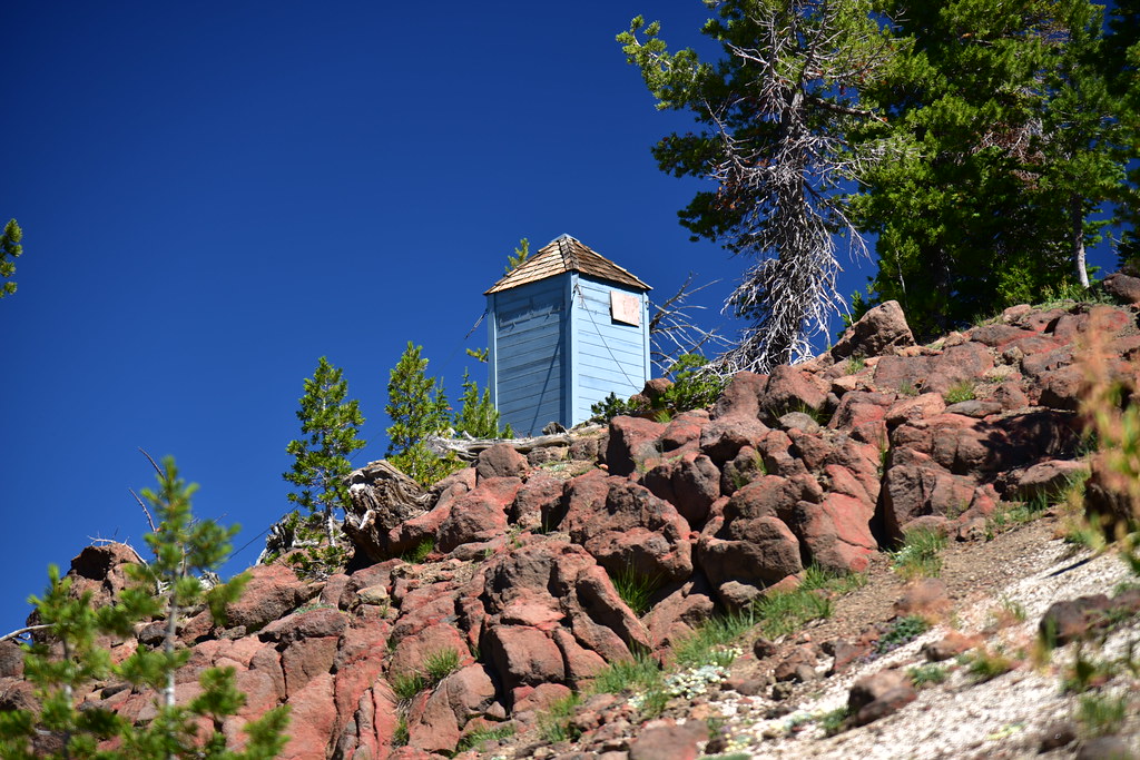
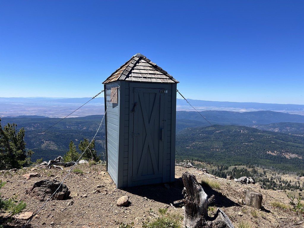
The toilet:
After 5.3 miles, 3,600′ elevation gain, and 3 hours and 45 minutes I reached the lookout at 11:20am!
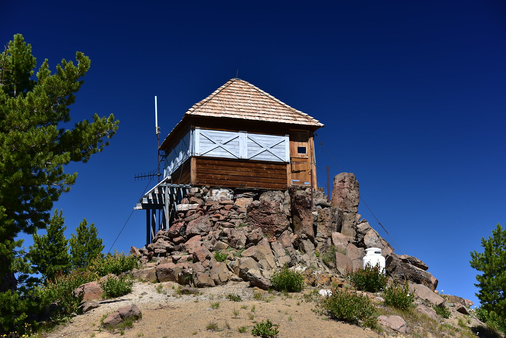
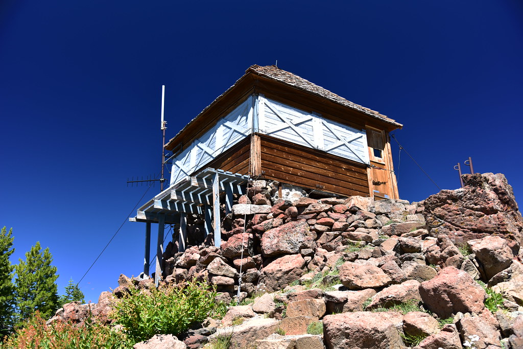

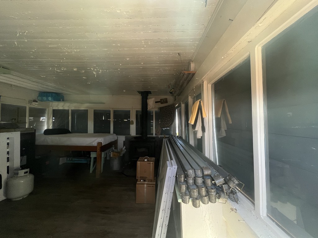
The Mule Peak Lookout is not staffed all the time in the summer and it was boarded up, but I could see a bit inside through the door window:
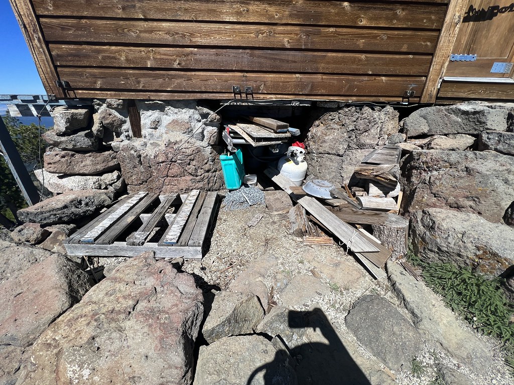
That’s a lot of firewood:

There was also a pile of roof shingles. Looks like a new roof was done in the past year or two:

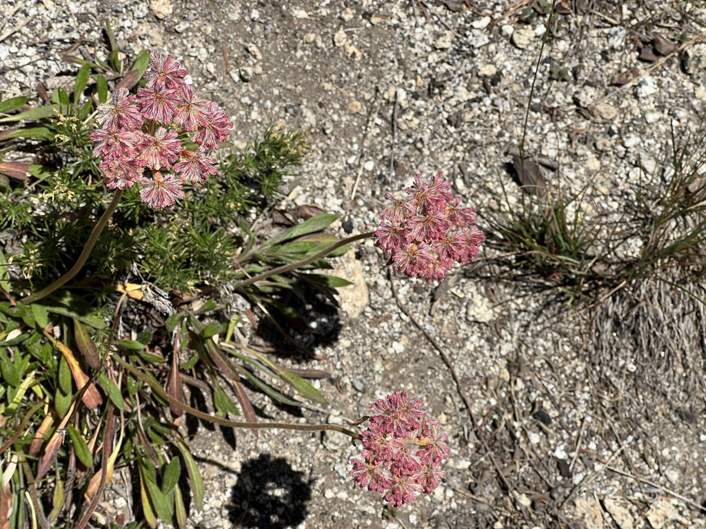
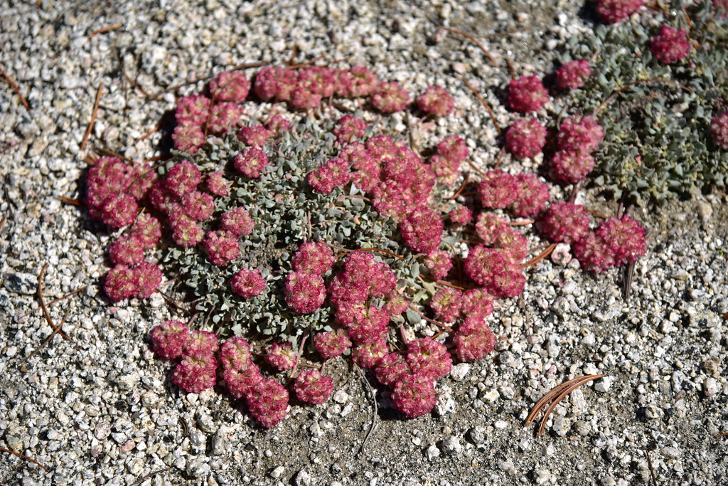
Pussy paws:
Hawkweed:

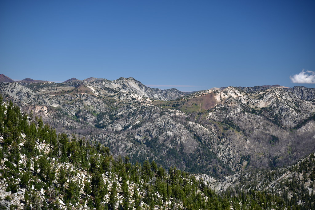
The views were spectacular on this gorgeous day. Looking north at Granite Butte:

Still looking north, with Granite Peak just off to the left:
Looking northeast into the Eagle Cap Wilderness:
Zoomed-in on the view above you can see Eagle Cap at center:

Looking east at unnamed peak 7786:
Looking east:

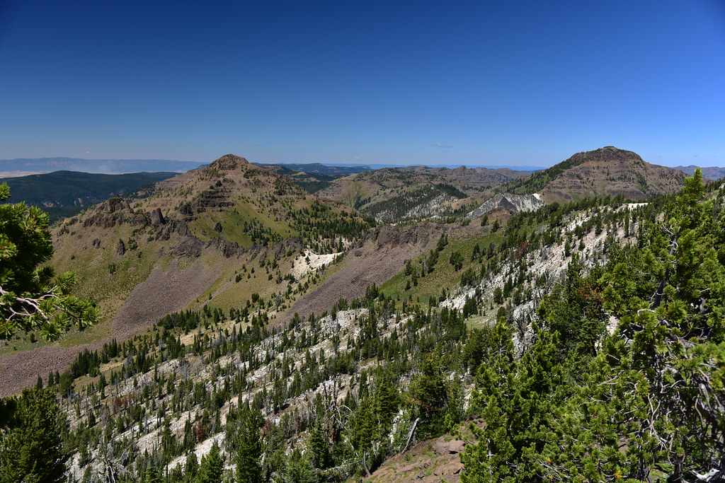
Looking south. That pointy peak at center is Lookout Mountain:
A little bit to the right of that view above:
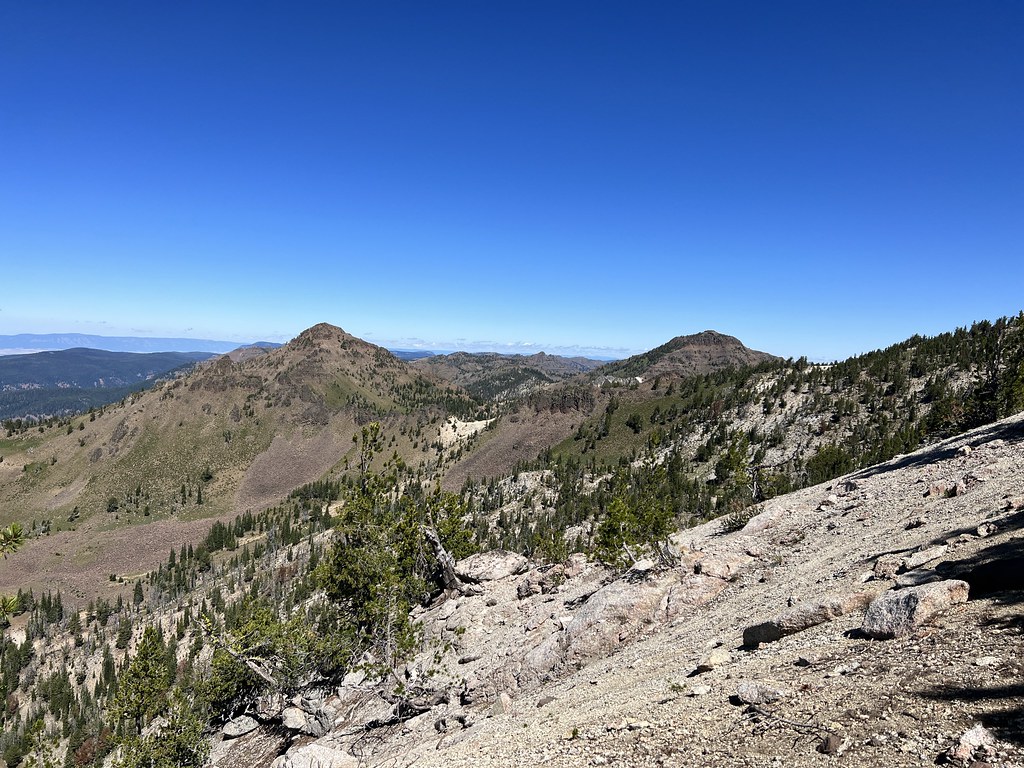
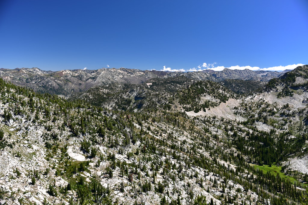
Looking southwest towards the Elkhorns:

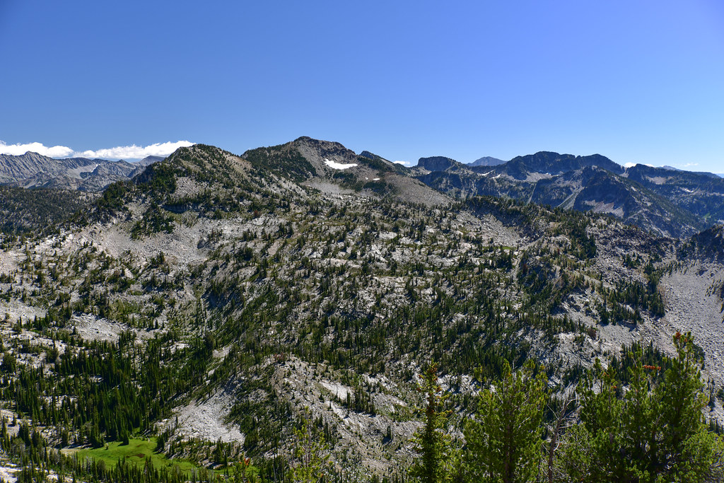
Looking northwest at Burger Butte and China Cap:

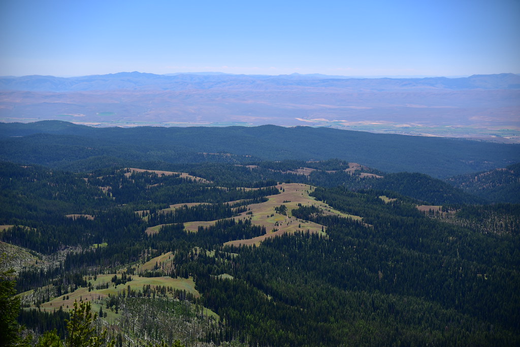
A green little meadow down below where a spring is the start of South Fork Catherine Creek:

That’s the meadow where the trail was so faint:

The Mule Peak Trail continues past the lookout and meets back up with the Sand Pass Trail in about half a mile. I didn’t go that far, but I did follow it for a short distance. I passed the toilet:


The view from the trail just past the lookout:

Somewhere down there is the Sand Pass Trail:
I lingered on the summit until 1pm. I would have stayed longer, but it was a long hike down and I had two hours of driving afterwards. The hike back was uneventful. I didn’t see a single person all day. I got back to the car at 4pm, had a snack, and drove over to the Halfway area to find a campsite.
My GPS track is available on Caltopo.
Gaia stats: 10.6 miles, 3,600′ elevation gain


