Tuesday, June 20, 2023
During my trip to eastern Oregon I tried to find things to do in the bad weather.
Today I first tried hiking the McCully Creek Trail:

The trail was pleasant enough, but the weather was quite chilly, showing no signs of getting better. I turned around after 1.4 miles. Good thing I did because then this happened:
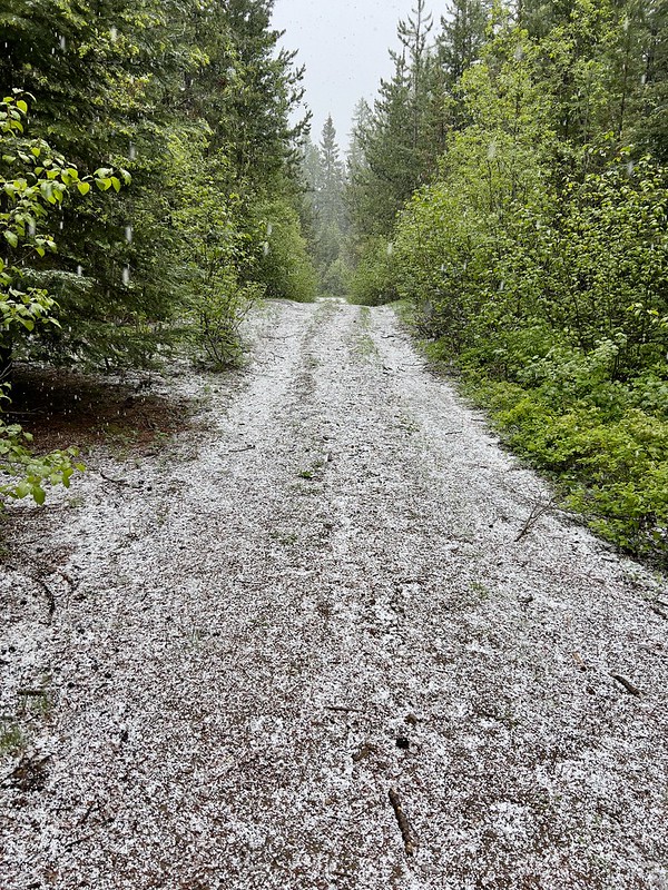
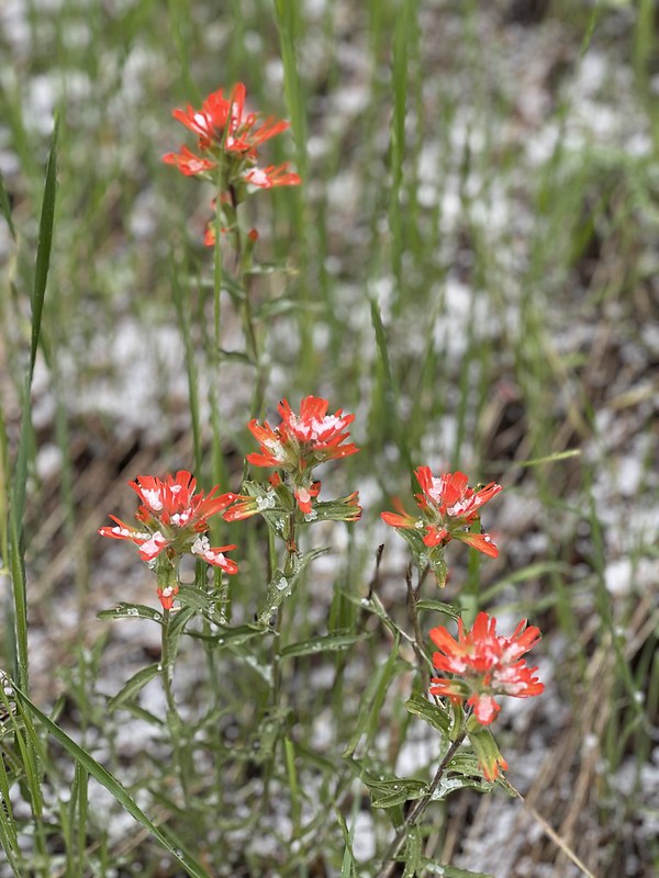
It wasn’t hail and it wasn’t snow. I think it was graupel:
After that I headed north on Highway 3 to check out the Chico Trail. I didn’t have much info on this trail and unfortunately the trailhead alignment on the topo map is incorrect, so I first started out trying to access it from Road 175. I parked at this wire gate that I was unable to wrench open, then crawled through:

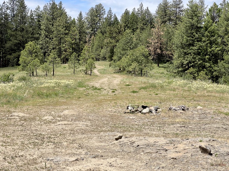
The road ended at this big flat spot:

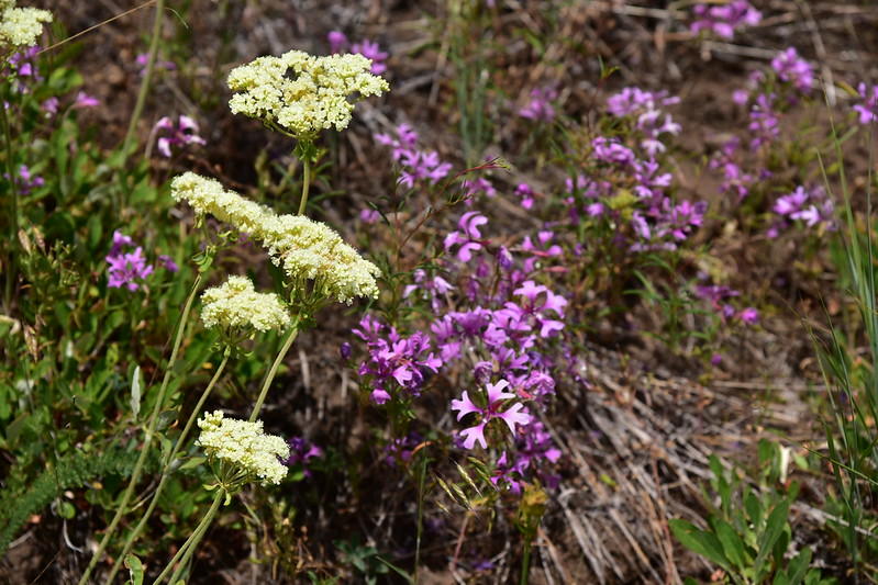
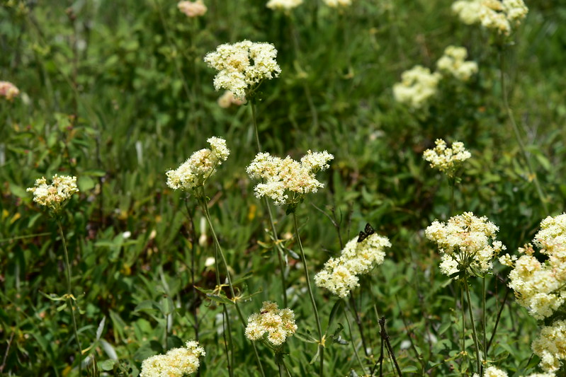
There were some nice wildflowers blooming here:

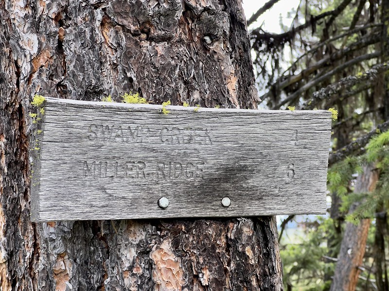
But after poking around for awhile I couldn’t find any sign of the trail. Back in the car I decided to follow a hunch, and I checked out nearby Road 174. Ah ha, here’s the trailhead:

Again, knowing nothing about this trail I decided to just go for awhile and see where things led:

There were signs of recent trail maintenance:

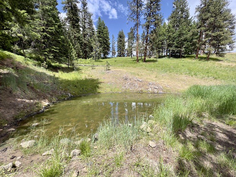
Some kind of pond for cattle, no doubt:
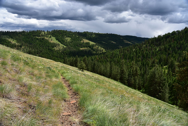
The trail descended through trees and then came out in this huge meadow:


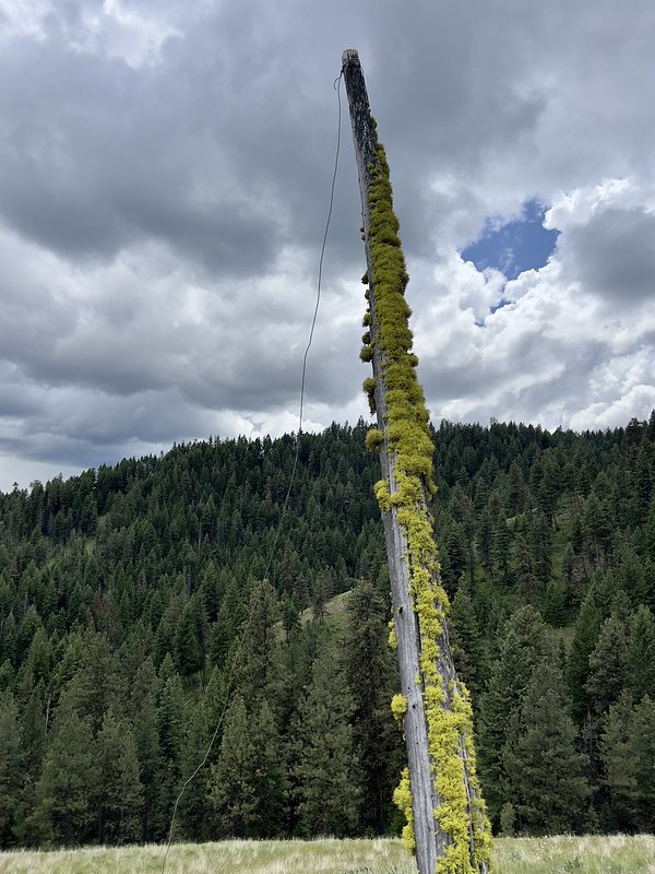
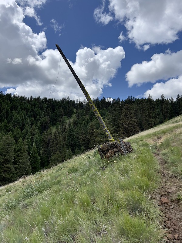
There was an interesting piece of history along this trail. This old leaning pole was once used to hold up the telephone line that ran through here. In the days before radios, telephone lines ran through the forests connecting lookouts, guard stations, and ranger stations. That system hasn’t been used in decades, but this old pole is still standing, which is pretty neat:


I had only gone 0.4 miles and even though it was clear the trail kept losing elevation I decided to keep going. The trail headed into the trees:


Then it was back out into the meadow:

And back into the trees:


One mile from the trailhead I reached the junction with the Davis Creek Trail:

Davis Creek was little more than a few pools of stagnant water that will probably be all dried up in a month:

I turned around and headed back up the trail under darkening skies. I saw rain in the distance, but it never came my way. I also thunder, which also kept its distance:


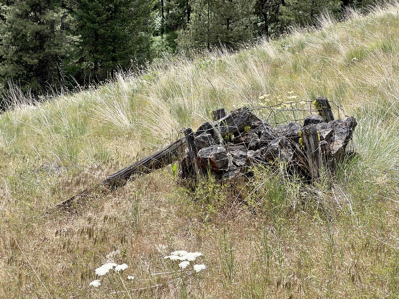
On the way back up I noticed several rock baskets that also would have held telephone poles back in the day. Their poles were all toppled:

This turned out to be a pleasant way to kill time today, despite the loss of elevation on the hike in.
Gaia stats: 2.1 miles, 730′ elevation loss


