Friday, September 2 – Monday, September 5, 2022
After a lot of researching and debate and discarding three other plans, we ended up backpacking in Olympic National Park over Labor Day Weekend.
UPDATE: On Sunday, July 6, 2025 – at the end of the 4th of July weekend – a fire was reported along Road 24 adjacent to Lake Cushman. What started as a small fire eventually blew up and burned approximately 20,233 acres, mostly in Olympic National Park. The fire stretched well up the North Fork Skokomish, and burned most of the area we explored during this 2022 trip, although Flapjack Lakes and Gladys Divide didn’t burn. Crews worked to protect resources such as the suspension bridge. The fire was human-caused.
We knew several weeks ago that our original plan to backpack to Mink Lake in the Three Sisters Wilderness wouldn’t work due to the Cedar Creek Fire. We thought we could go to the Eagle Cap Wilderness instead, then several fires broke out there. We had our eye on the William O. Douglas Wilderness, but the route we had to take would have been too long for me to carry an overnight pack with my bum foot. So we got out a map of Olympic National Park and considered our options, settling on a hike that started from the Staircase Ranger Station.
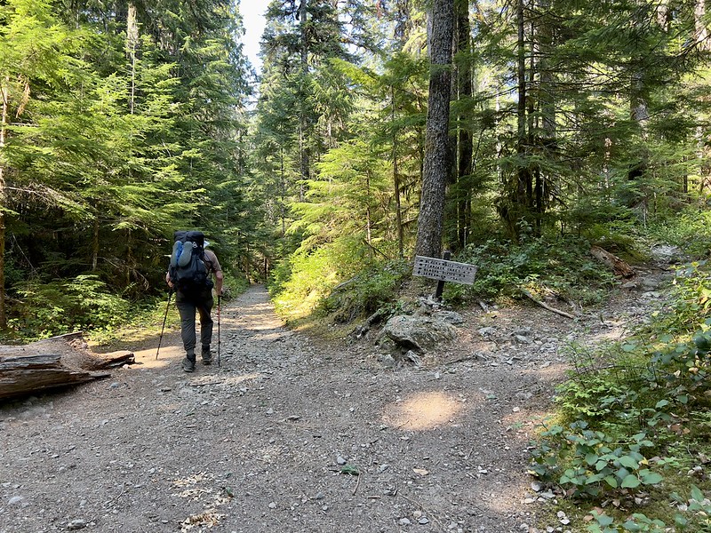
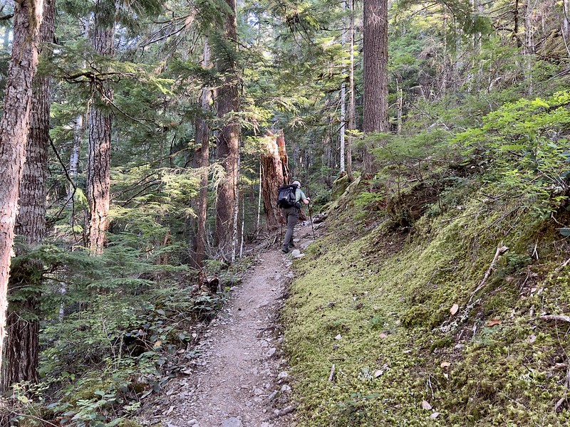
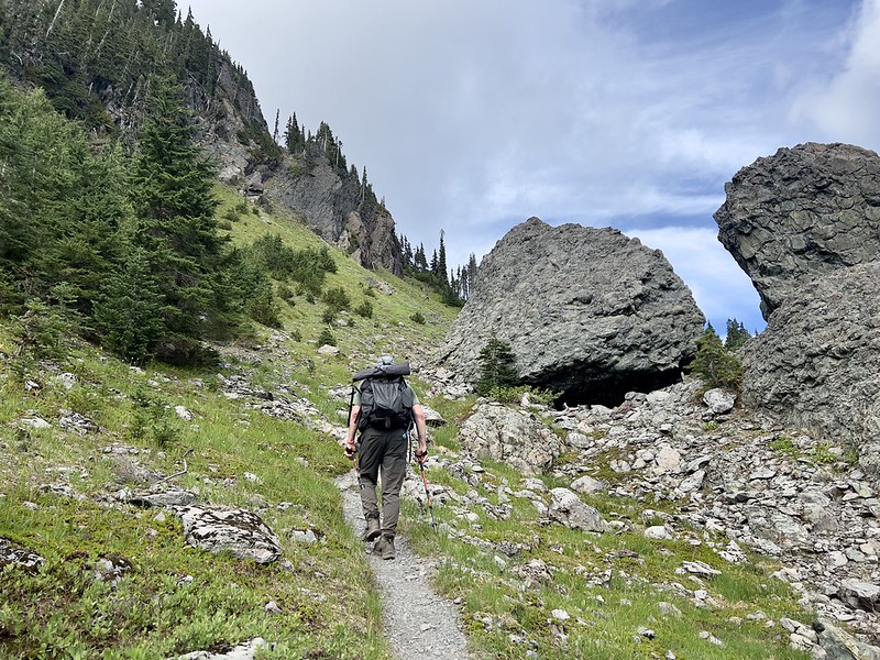
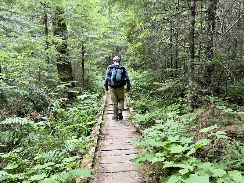
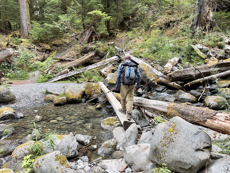
We drove up on Friday and got to the trailhead at 12:40. Greg packed his bag then we finally headed out on the North Fork Skokomish Trail at 1:30, me with a 26-pound pack and Greg with a 32-pound pack:

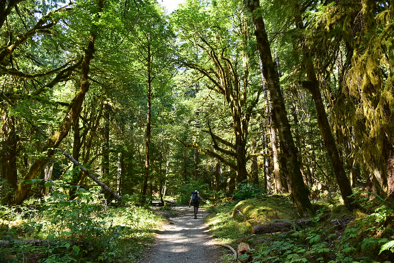
The trail is along the route of a former logging road, closed to vehicles many decades ago. The trail was wide and not steep and made for easy hiking:

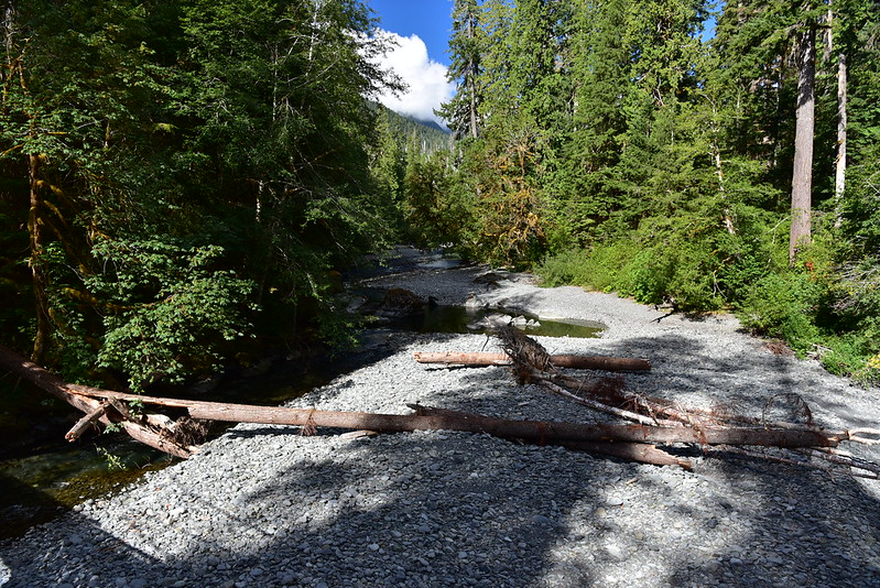
Crossing a dry creek bed:
The tall trees provided welcome shade on this warm afternoon:
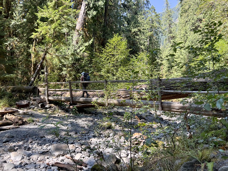
We reached the junction with the side trail to the Staircase Rapids bridge, which would we would check out on the hike out on Monday:

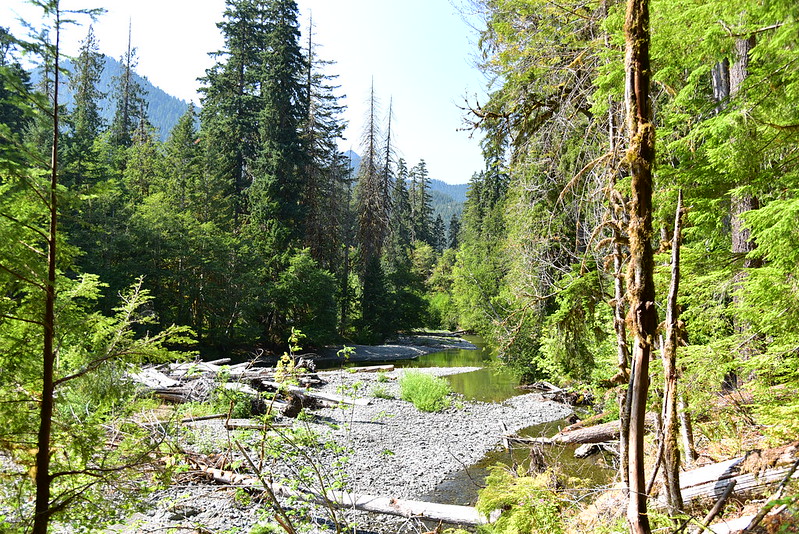
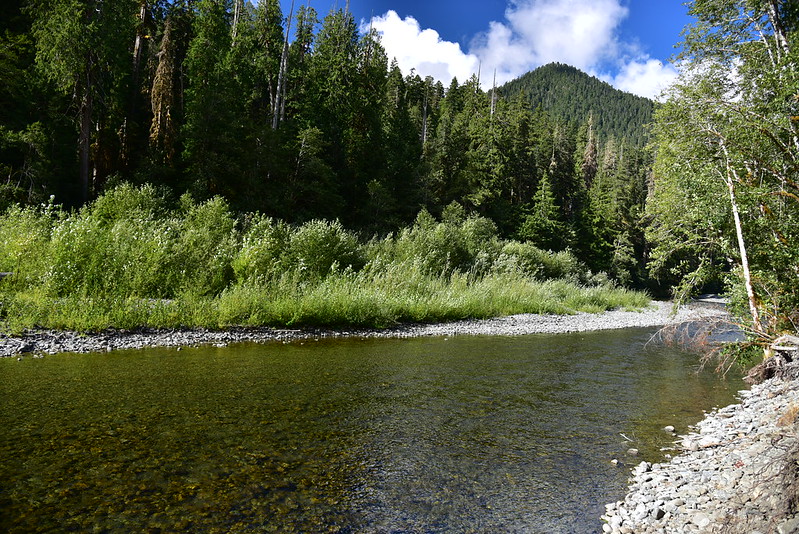
We got a glimpse of the North Fork Skokomish River from the trail, but there wasn’t really any river access. This is all we would see of it today:
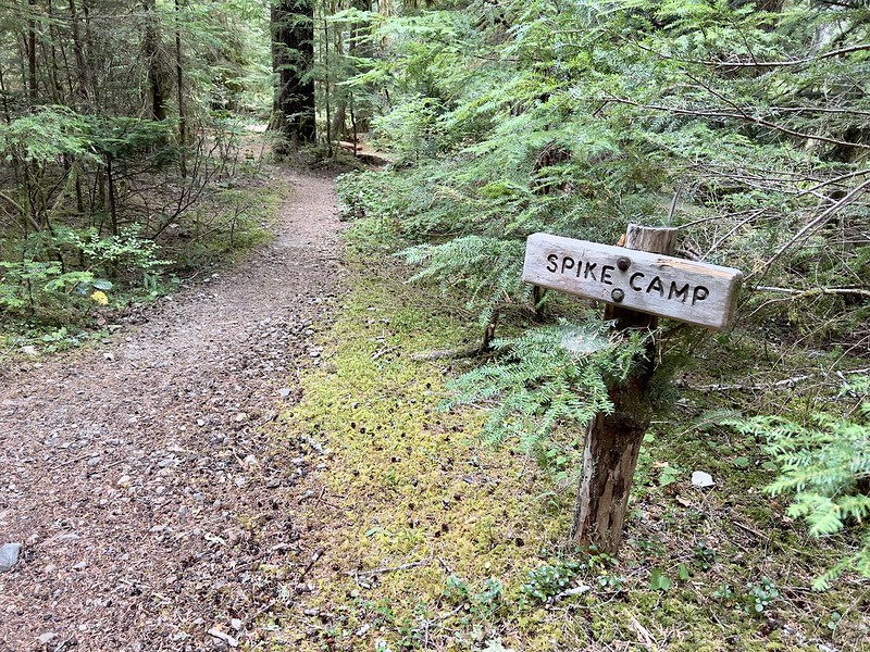
After 3.6 miles we passed the junction with the Flapjack Lakes Trail.
In another 0.1 miles we reached Spike Camp, our home for the next three nights:
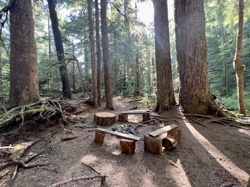
Of course there were multiple fire rings around:
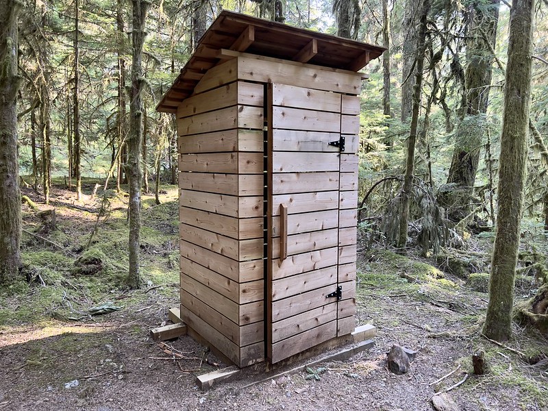
The outhouse looks relatively new:
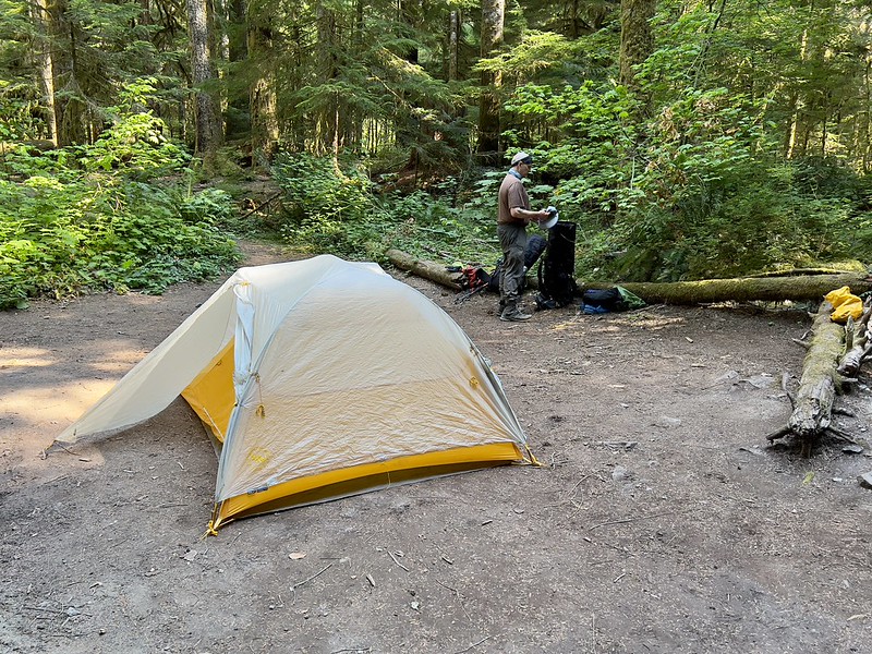
Surprisingly there weren’t that many flat spaces to pitch a tent. There was one large flat space at the back of the camp which we claimed. There was room for more tents in this spot and we figured we would be sharing if things got busy this weekend:
After setting up the tent we set off to find water. There is no water at camp. The water source for Spike Camp is located a tenth of a mile up the trail:

We had been surprised that there were some mosquitoes at camp and we discovered it was due to a pond located just up the trail:

We relaxed around camp for the rest of the afternoon and evening. In the morning we woke up to a damp world. I couldn’t tell if it was drizzle or heavy dew, but the ground, vegetation, and tent were all damp:

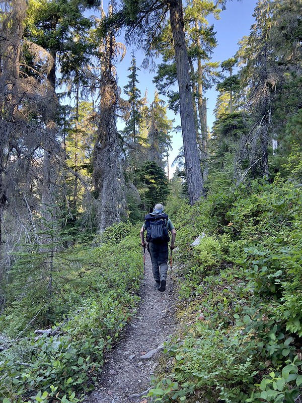
After breakfast we set off on a day hike up to Flapjack Lakes. Unfortunately we got a very late start, not hitting the trail until 9:45:
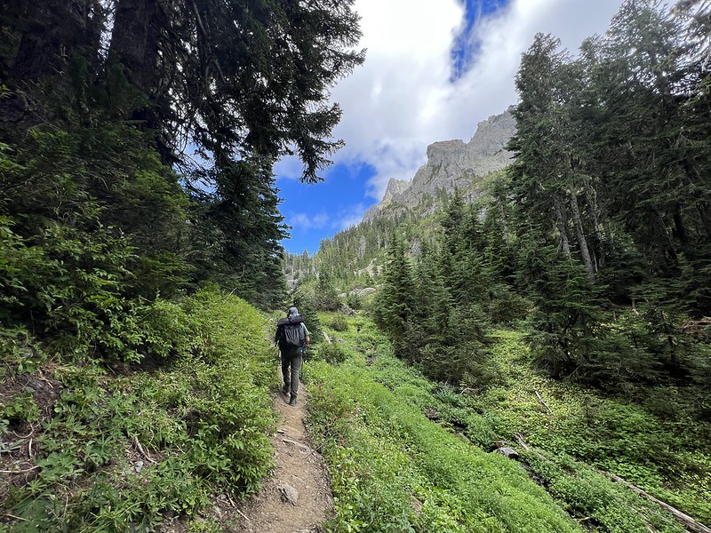
The trail climbs gradually for awhile:

After 1.8 miles we reached the bridge over Madeline Creek:


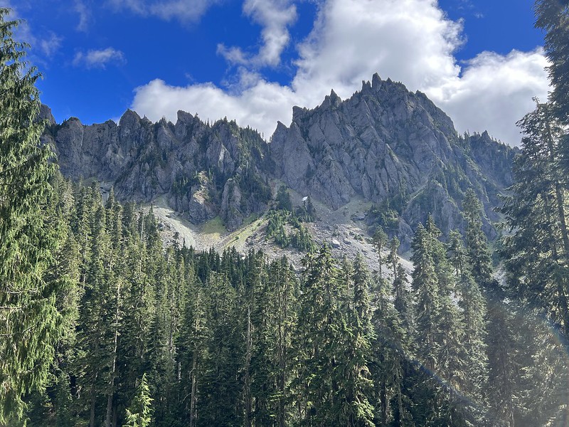
Soon the trail got steeper. We had occasional glimpses through the trees and could see that the morning clouds were burning off:
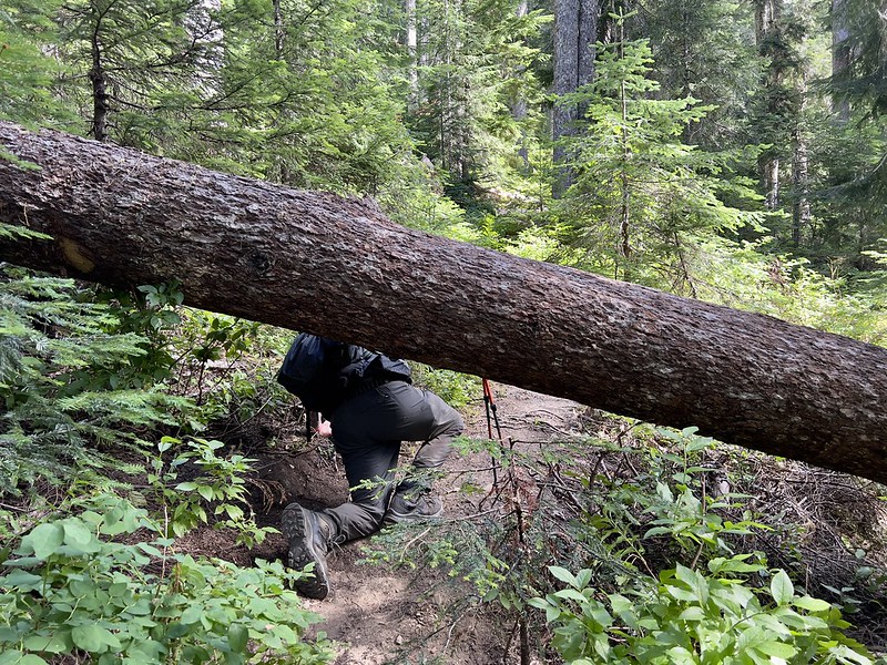
Although the North Fork Skokomish River Trail had been cleared, this trail had not and we had to negotiate blowdowns. This one was so big that the only way through was to go around the root ball:

This was another challenging one to get around:
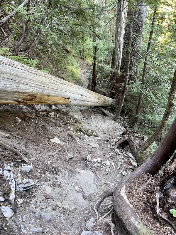
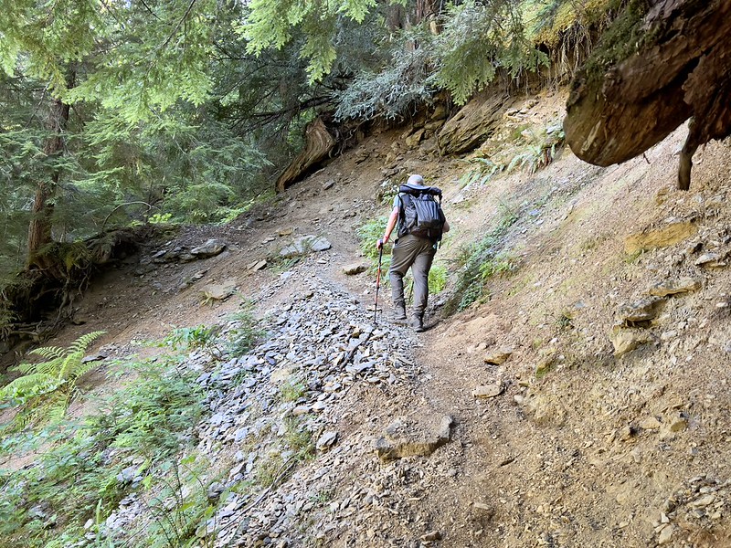
This section of trail was sliding away and the tread was very narrow:
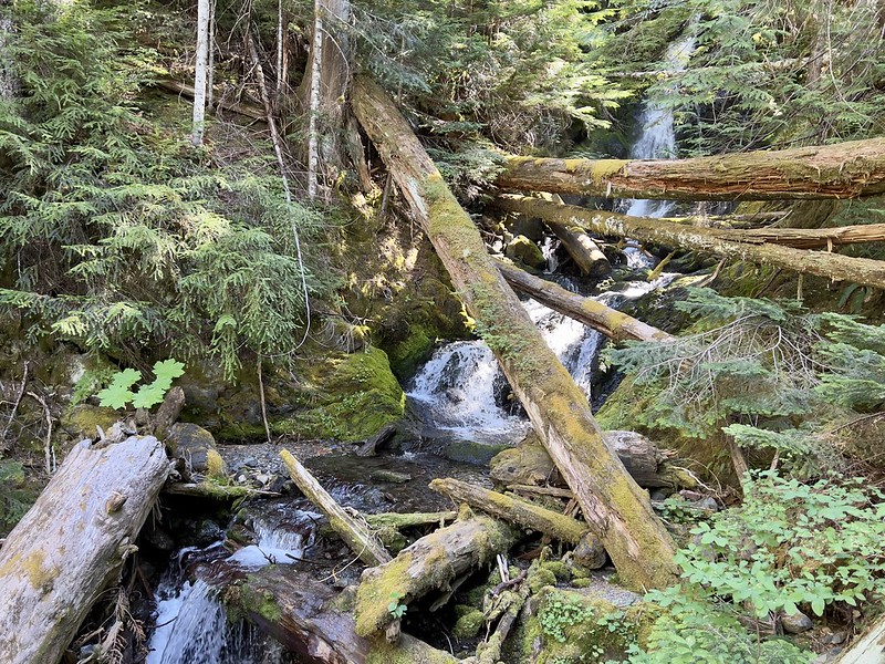
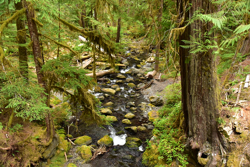
There were several spots where the trail came close to Donahue Creek:

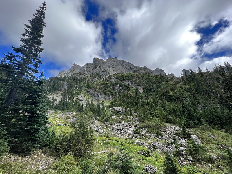
After hiking 3.5 miles and gaining 1,900′ of elevation we reached the junction where we turned right to head to Flapjack Lakes. The trail to the left went to Black and White Lakes:

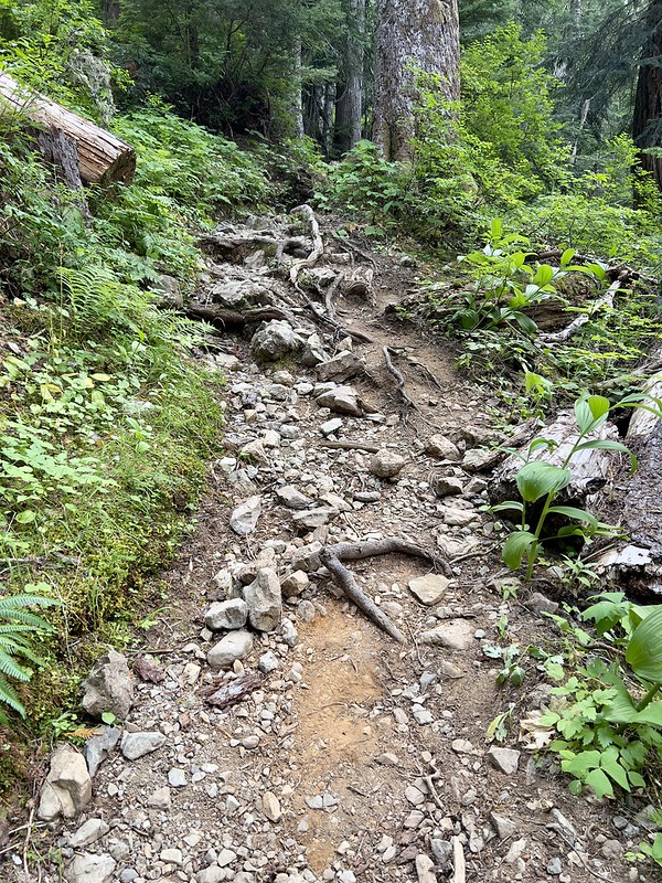
This half-mile stretch between the junction and the lakes was steep, rough, rocky, and rooty:

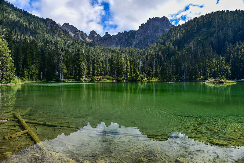
Wow we were glad to finally get here. Hard hike! We found a nice spot on the shore of the western lake and took a break:


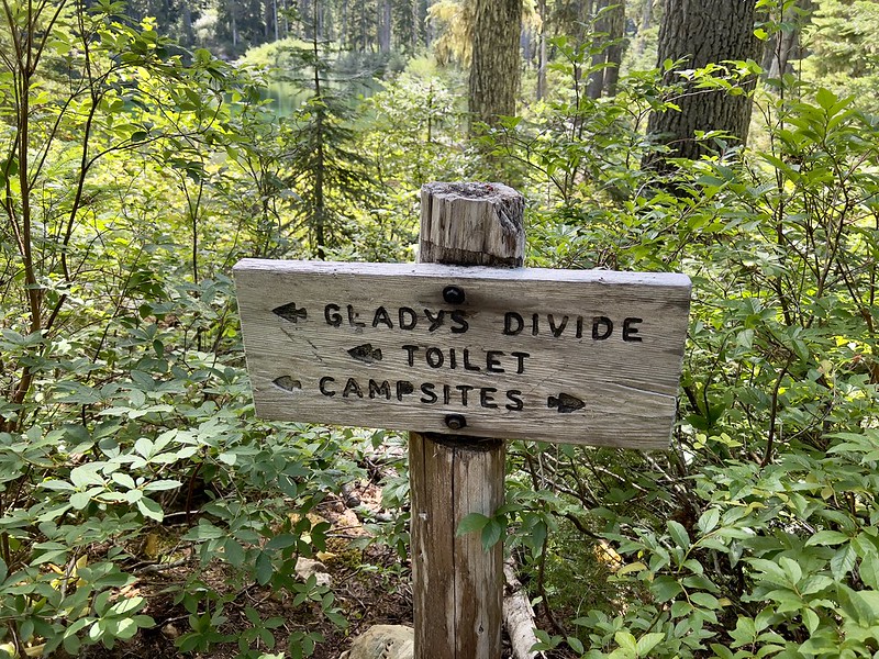
We had talked about continuing up to Gladys Divide. Part of me wanted nothing more than to just sit and enjoy this lake for the rest of the afternoon. How relaxing! I’ll just visit Gladys Divide next time. But would there be a nice time? The chances of hiking up that steep trail again were slim. I suggested we keep on to the divide and Greg agreed:
We had a blowdown or two to negotiate, but this stretch of trail was actually in much better shape than the half-mile stretch up to the lakes:

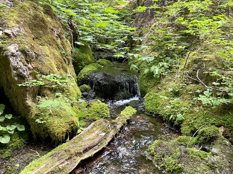
We crossed a little creek where we stopped to filter water on the way back down:
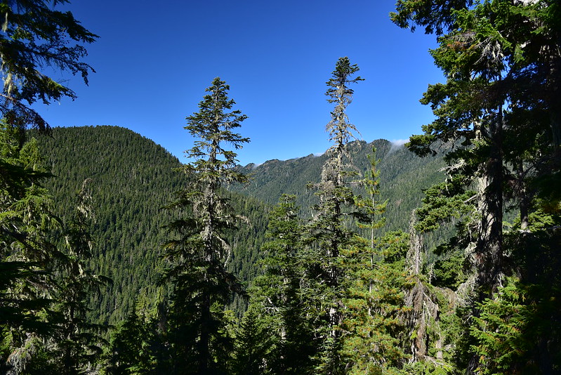
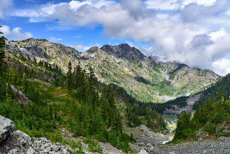
After being in the trees for awhile the views started opening up and we could see the mountains above:


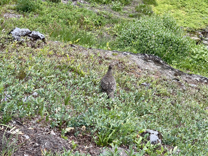
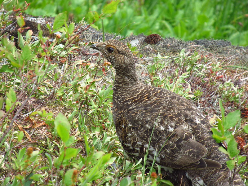
We came across a family of grouse just off the trail:

One of the youngsters actually came up onto the trail:

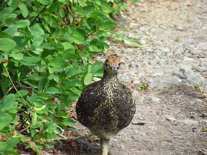

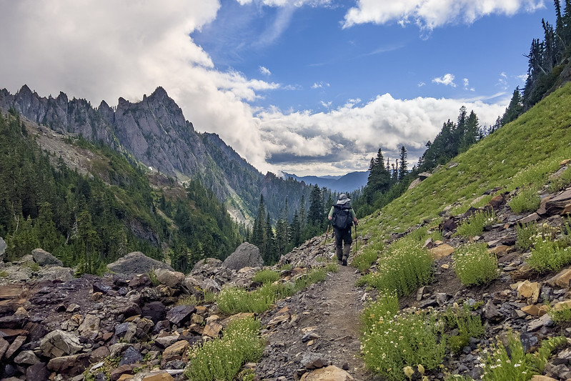
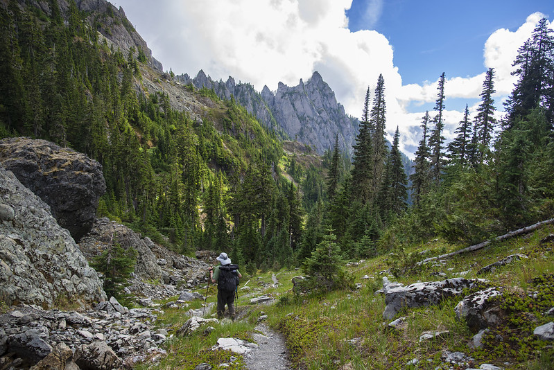
We moved on, letting them have their space. The route became more and more scenic:

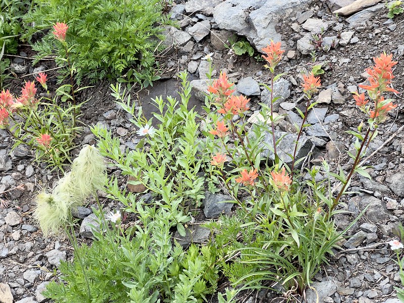
There were even a few lingering wildflowers:
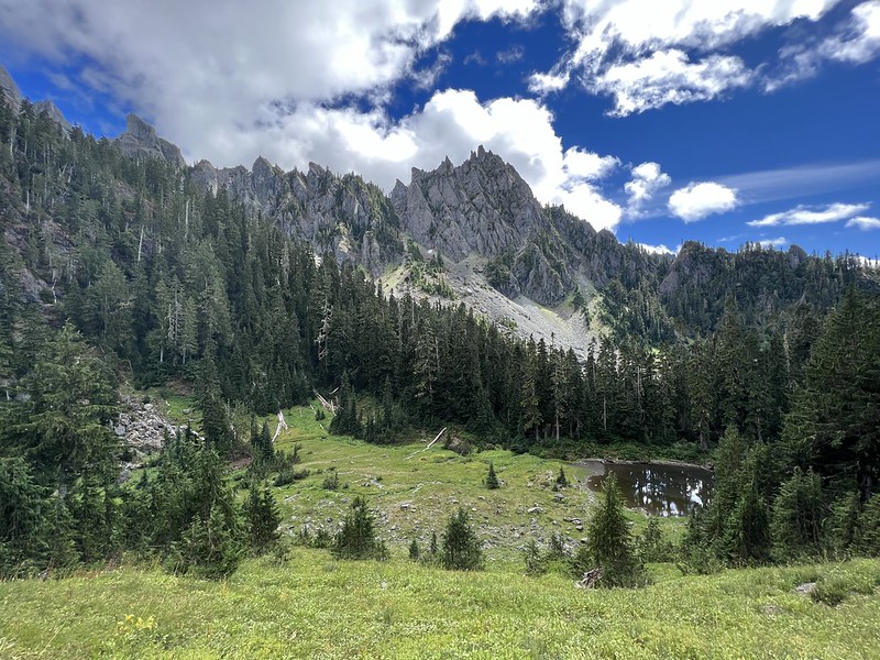
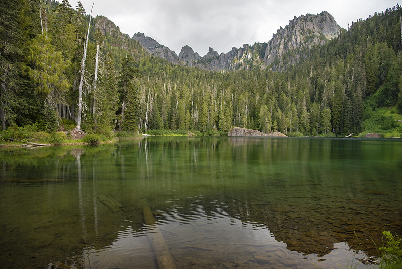
After about 1.6 miles we reached Gladys Divide:

It’s a big rocky area and we found a spot to sit and take a break for a little bit:

We were standing at the national park boundary, so everything we saw to the east was in the Mt. Skokomish Wilderness in the Olympic National Forest:
Zoomed-in on the little snowmelt pond down there:

The view to the west:

Looking up at Mt. Cruiser above us to the south:

We would have loved to linger longer but we had a long hike back to camp so headed back down:
There is a small strip of land in-between the two Flapjack Lakes and we stopped briefly on the way down to check out the eastern lake:

I thought that our three-mile detour up to Gladys Divide and back would only take two hours, but it took three. So we didn’t leave the lakes until 5pm. We got back to camp at 7:40 and found the place was PACKED. Tents squeezed in everywhere and even a few hammocks. Our large site had two other tents now and we told them it was fine, that we were happy to share. We made dinner and fell into bed exhausted, having hiked more than 11 miles today.
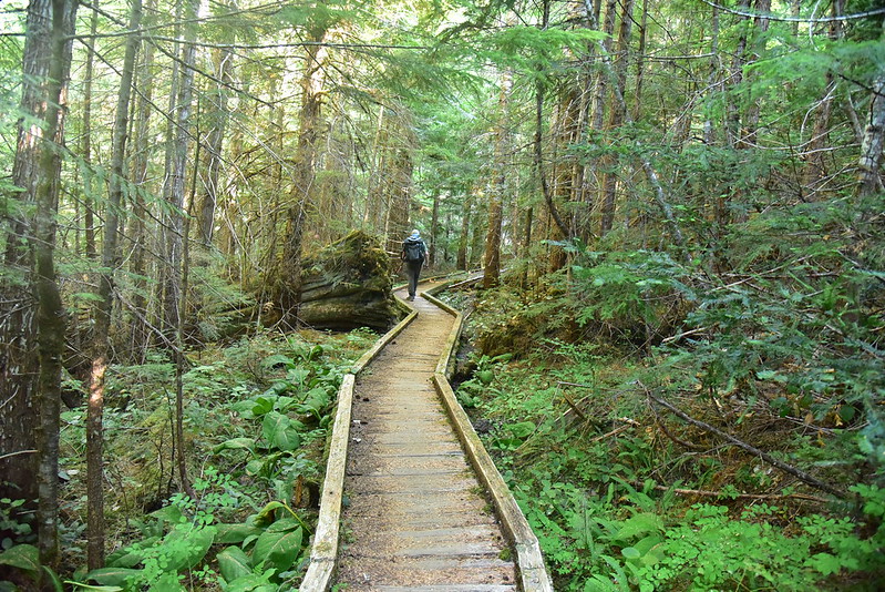
On Sunday we took it easy. After a leisurely morning we set off up the North Fork Skokomish River Trail:

We crossed Madeline Creek:


Then we crossed Donahue Creek:
After two miles we reached the junction with the steep primitive trail that heads up to Black and White Lakes:
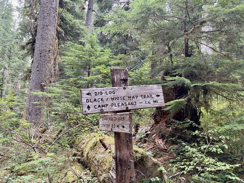
Not heading up there today! Instead we turned left and descended a short spur trail down to Big Log Camp. This place has way more flat space for tents than Spike Camp:

The best part about Big Log Camp is that it has a nice big beach:
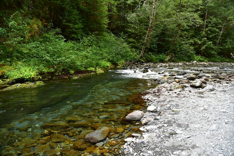

This was the best river access we had seen so far on the trail and we decided to spend the afternoon relaxing here:
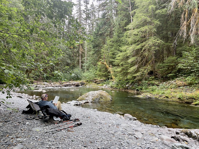
The water is SO CLEAR!

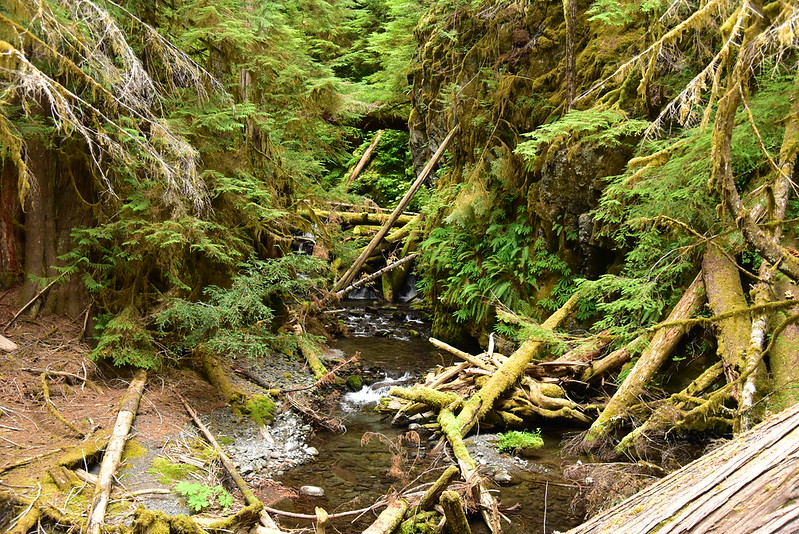
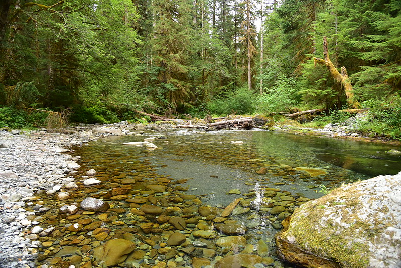
After several hours chilling out by the river we decided to hike a bit further north to the spot where the trail crossed the river:

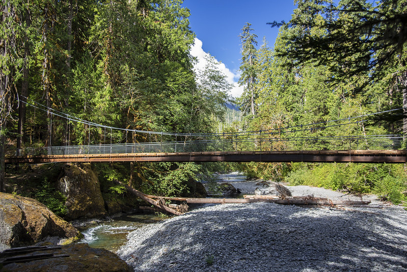
This turned out to be a super pretty spot where the river flows through a narrow gorge:

Looking downstream from the bridge:

After lingering here for a moment we headed back to our camp. I was in awe of the giant trees we saw:

Things were much less busy at Spike Camp that evening. We ate dinner, read a bit, then went to bed.
Monday morning I wasn’t in a hurry to get going until the people in the next sight started blasting music while they packed up camp. Then I wanted to get the hell away from that noise, but while I was packed and ready, Greg wasn’t. So I had to sit and listen to the noise until they finally left.
On our hike I took the side trail to check out Slide Camp, which is signed but is not on the map. There are some pleasant riverside sites here:
We also stopped to see the suspension bridge at Staircase Rapids. In 1998 the original bridge here either collapsed under snow or was washed away, depending on which source you consult. This bridge was a $1.2 million project and was completed in 2013:
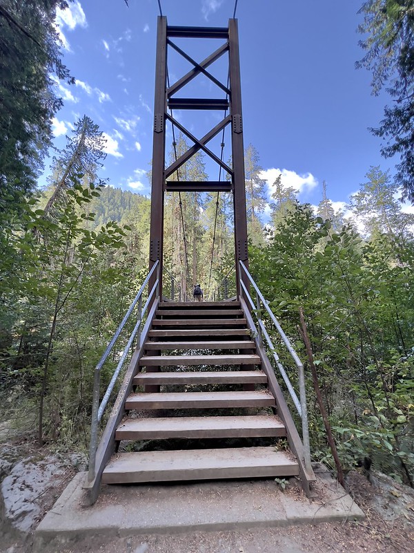


You can see footings from the former bridge:

We made it back to the car, changed our clothes, then headed to Olympia for a late lunch. This trip wasn’t what we had originally planned, but it worked out and we had a good time. It was hard to come back to civilization after four days in nature!
Gaia stats: 24.5 miles, 4,740′ elevation gain


