Sunday, August 28, 2022
Today Greg and I visited Cast Lake and East Zigzag by approaching from the south side instead of the more popular north side.
UPDATE: As I note in my writeup below, the road to the trailhead crosses private property. (See screenshot from OnX.) In 2024 someone reported that a gate had gone up where the road crosses into private property. Unfortunately it is no longer possible to access this trailhead.

There are several ways to get up onto the long ridge west of Mt. Hood known as Zigzag Mountain. The most popular way is to hike in from the north to Burnt Lake, then continue on up to East Zigzag. Greg and I last did that in 2018.
Another approach is to hike in from the South Burnt Lake Trailhead at the end of Road 207, however this road has always been so rough that I’ve never dared try it. Last year in 2021 someone reported on OregonHikers that Road 207 was not as bad as it once was. The road passes through a parcel of private land that got clearcut last summer, which resulted in some improvements to the road for the first stretch. So we decided to give it a try and see if we could make it.
Having never driven the road before it’s hard to know what it was like before and make a comparison. After you leave pavement at 0.6 miles the road is gravel. It is not what I would call a great road, but it’s not awful, either. Three miles from Highway 26 you reach the edge of the clearcut and the “improved” section ends. After that it’s rough with potholes. You don’t need 4WD but high clearance is definitely required, and I was glad that our Outback had new BF Goodrich KO2 tires. I took these photos of the clearcut on our way down at the end of the day:


Another problematic section is after the clearcut, just before a sharp switchback in the road. There’s a giant puddle that can be deep and soft. We have had a dry two month stretch without rain, so that puddle was all dried up, but there are deep ruts from where people drove through when the mud was still soft:

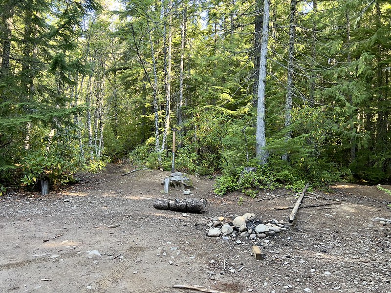
The road ends 5.3 miles from the highway where there’s a small parking area. There were two other vehicles there:
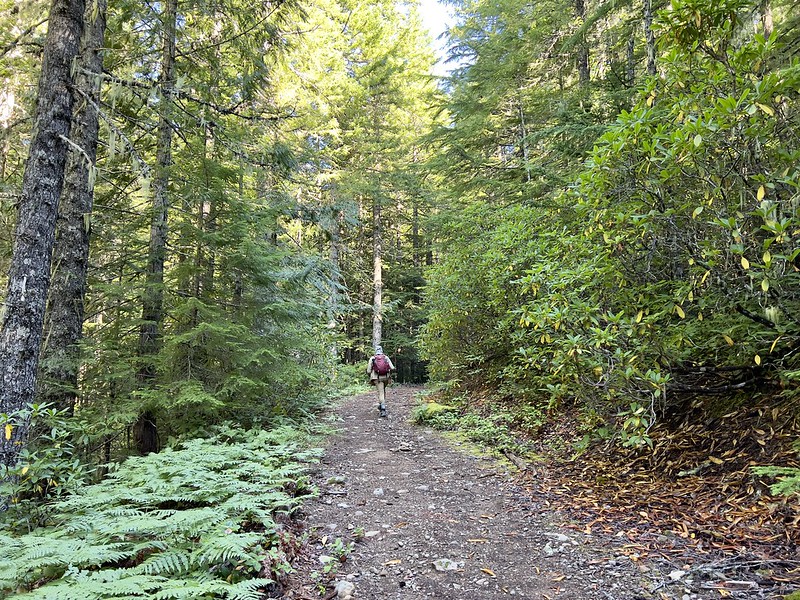
We set off on the trail, which was actually once a continuation of the road. These last two miles of road were closed and converted into a trail around 1978 when the boundary of the Mt. Hood Wilderness was expanded:

We passed the wilderness permit box after 0.4 miles, but it was empty:

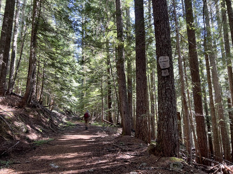
We didn’t cross the actual wilderness boundary until 0.8 miles:
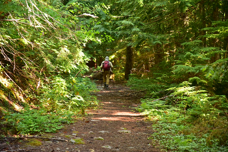
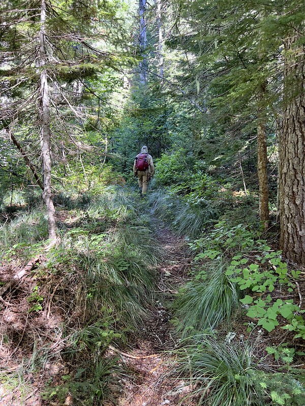
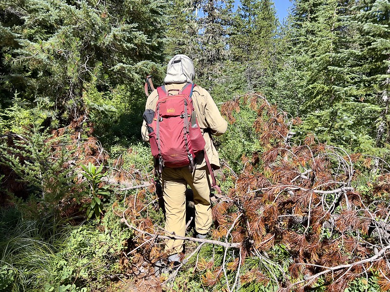
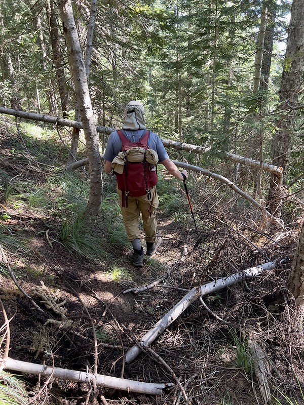
Even though this is an old road, it was actually pleasant walking. It’s a nice forest here and the road has been closed for more than 40 years so it doesn’t feel like a road hike:
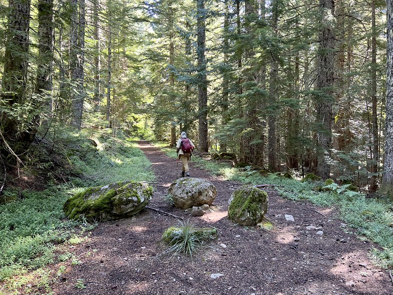
Trailkeepers of Oregon was here a few weeks ago and cleared some brush:
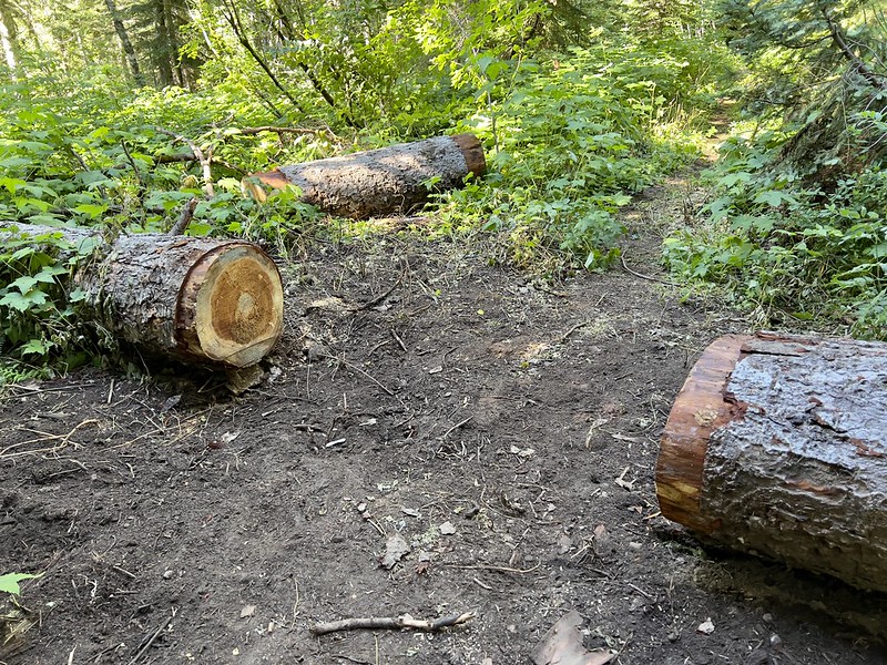
They cut out some logs as well:
After two miles we reached the site of the Devils Meadow Campground, which is where the road used to end. It’s been so long that I would never have known this used to be a campground. It’s not even that flat. There is just enough flat ground that one could camp here, but there’s no water:

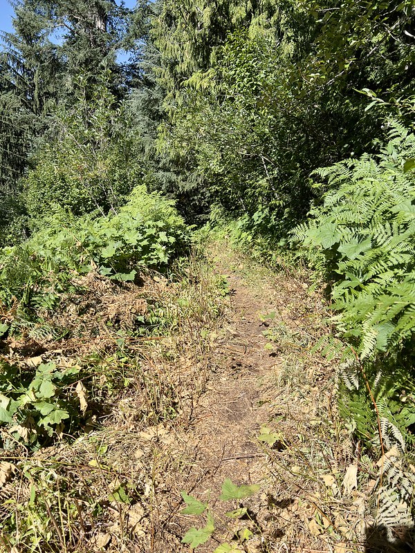
TKO didn’t brush out every section of the trail. This is one that didn’t get done:

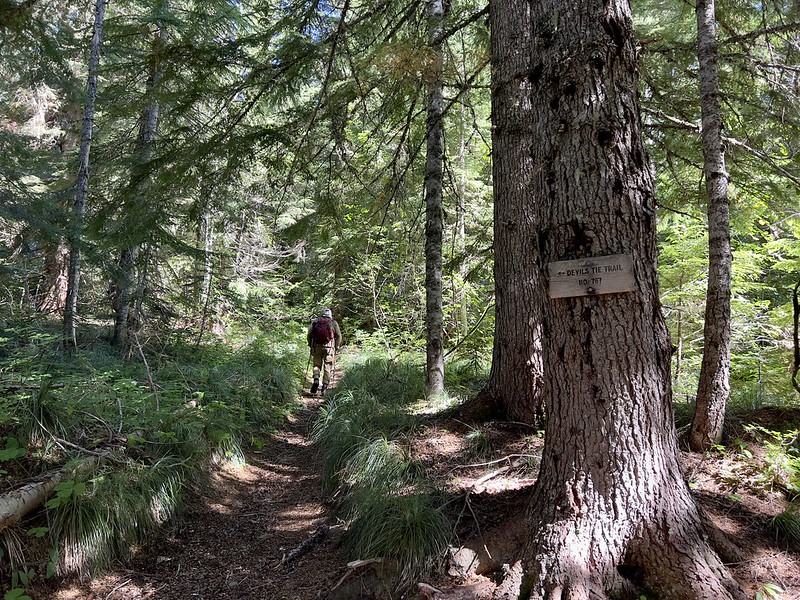
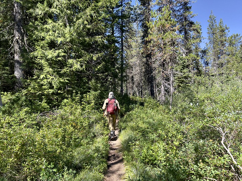
After 2.5 miles and 650′ of elevation gain, we reached the junction with the Devils Tie Trail and turned left:
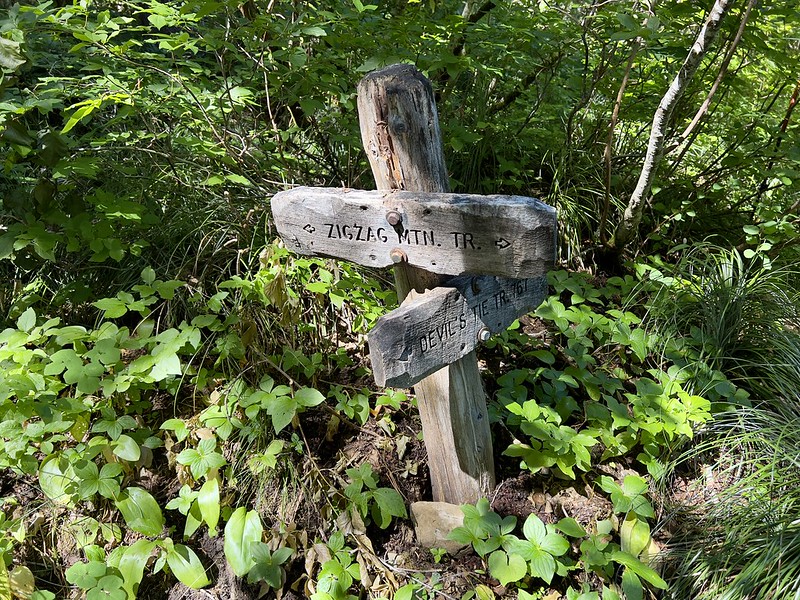
In another half mile we reached the junction with the Zigzag Mountain Trail and turned right.
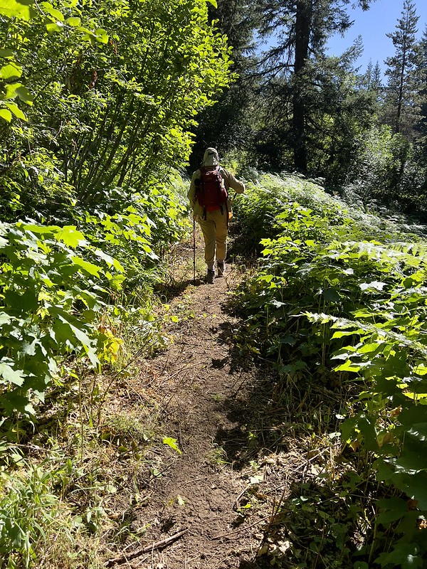
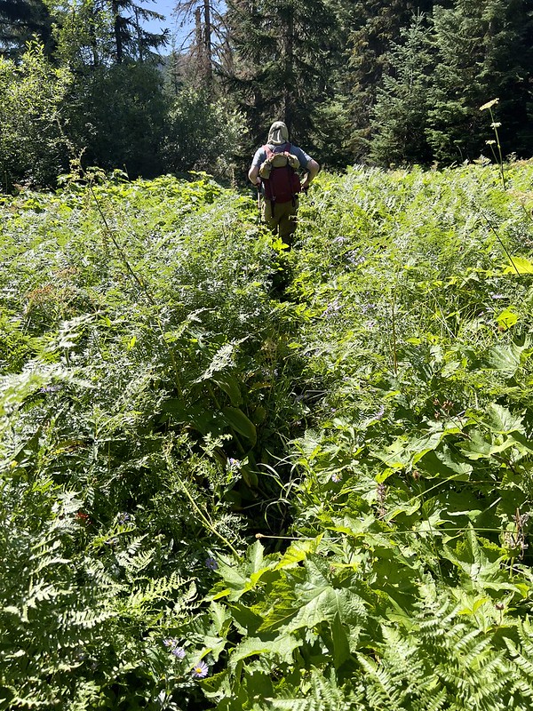
This section has not seen maintenance this season:
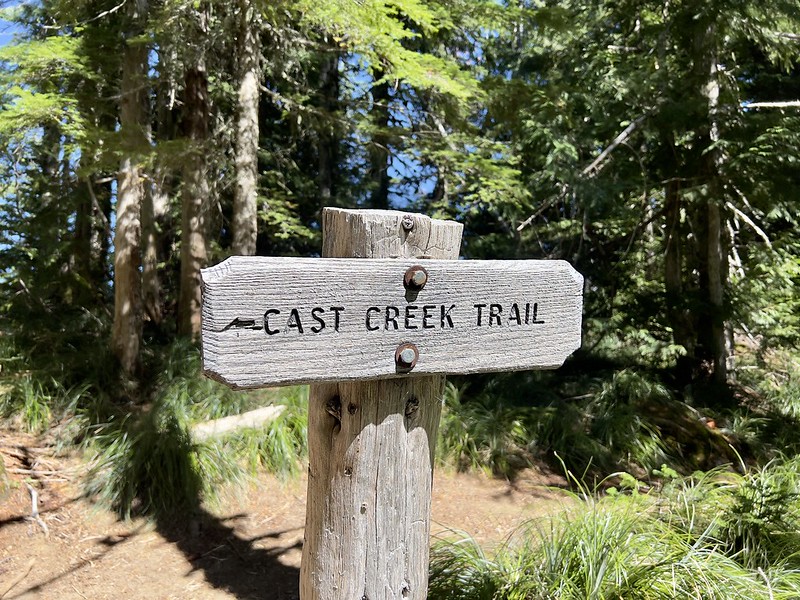
After another 0.2 miles we reached the junction with the Cast Lake Trail and turned left:

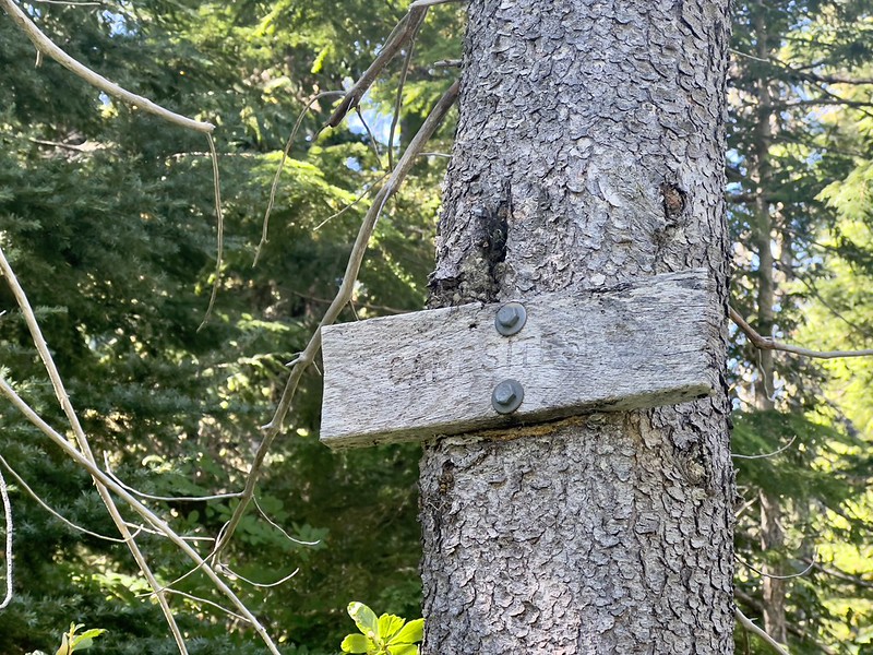
0.3 miles later was a junction with a faded “campsites” sign. This is just 3.5 miles from the trailhead. From here you can go straight or right to circumnavigate the lake. We turned right:
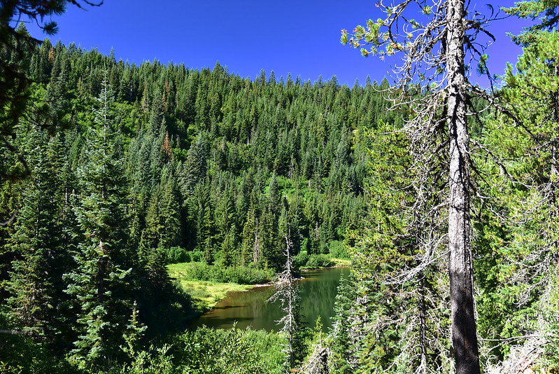


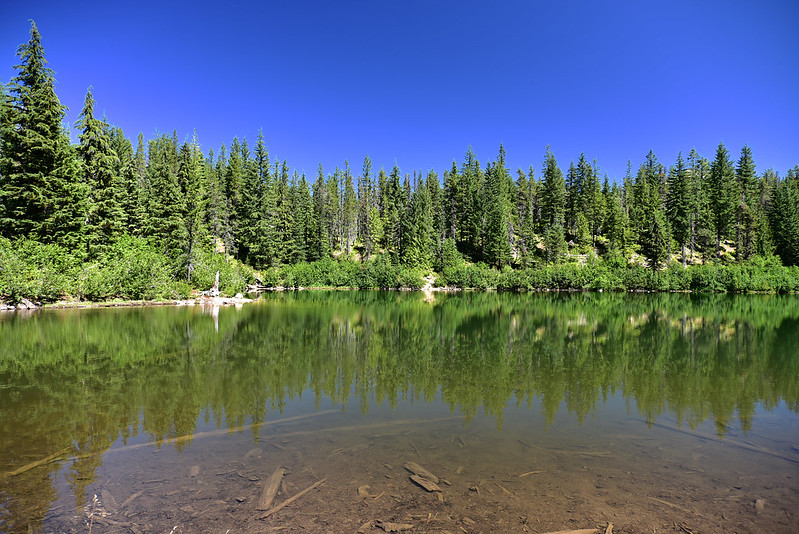
There’s a little peninsula that sticks out into the lake. We found a nice little beach there to sit and have a snack and enjoy the scene. There were several backpackers heading out and after that it was nice and quiet:

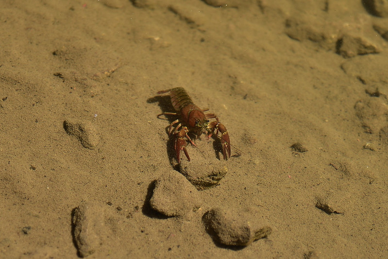
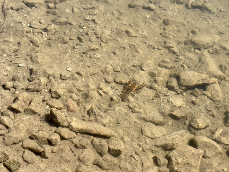
We saw some crayfish in the lake:

We still wanted to hit up East Zigzag, so after our break we continued around the lake. Here’s a view of the peninsula from the shore:

I couldn’t believe what a calm breezeless day it was:
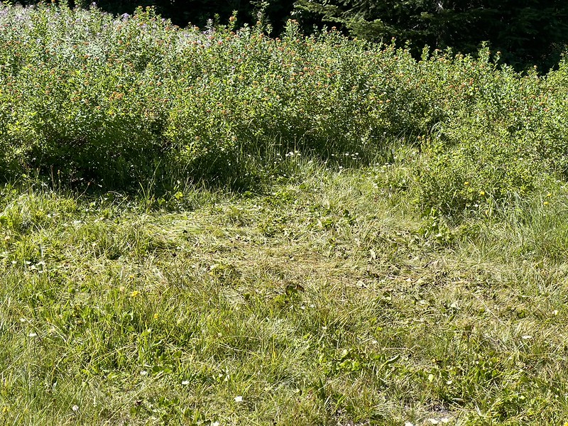
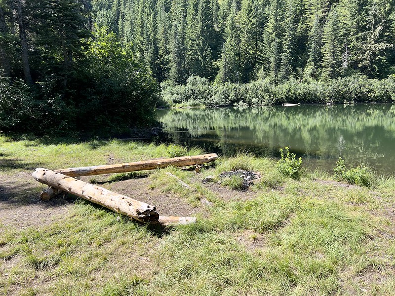
Unfortunately the impacts of humans were on full display here. We crossed a meadow were we saw that someone had pitched their tent right on the grass. Please don’t do this!
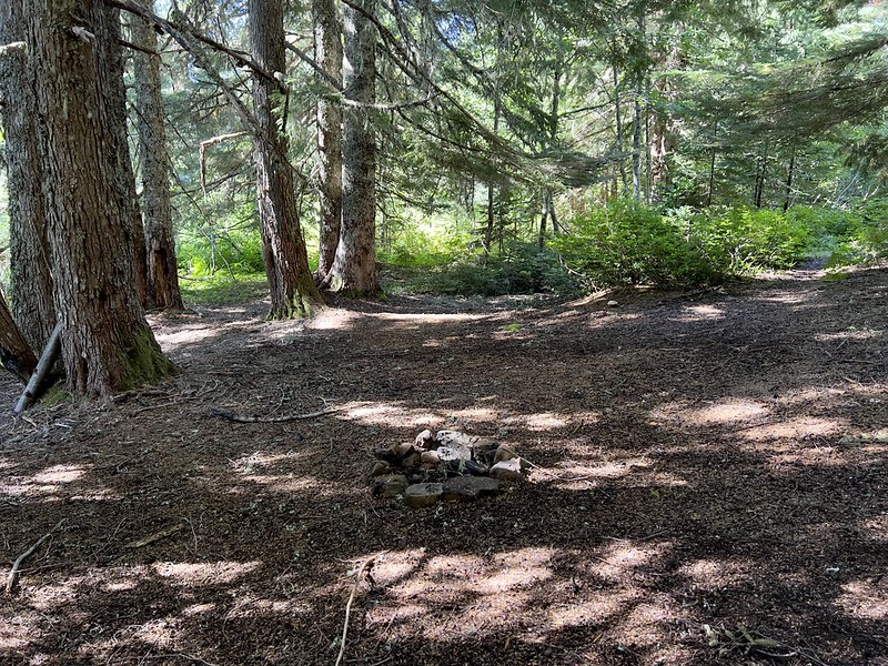
We also saw a long-established fire ring built way too close to the shore:

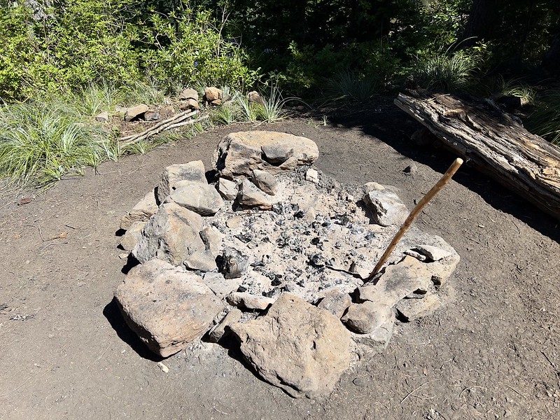
When we passed this other fire ring it smelled ashy. Sure enough when I put my hand down close it was clear that someone had built a fire here this morning, even though there’s a fire ban right now:
We headed back out to the Zigzag Mountain Trail and turned left, then at the junction with the Cast Creek Trail we stayed to the right on the Zigzag Mountain Trail:
Climbing up East Zigzag:

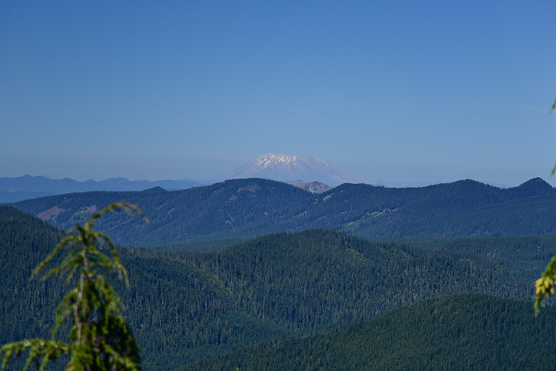
Shortly before reaching the summit we had a very nice view to the north. Mt. St. Helens:
Mt. Rainier:

Mt. Adams:

We could see Mt. Jefferson to the south as well, but I forgot to take a picture of that. The summit area itself is getting quite overgrown and the views are pretty limited:

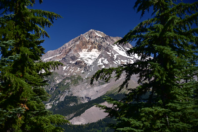

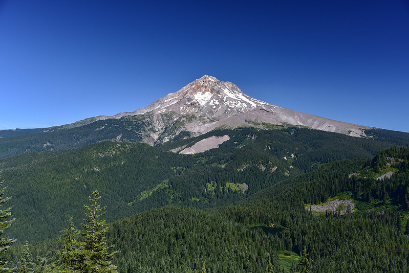
The views of Mt. Hood are much better descending down the other side of East Zigzag, plus you can see Burnt Lake below:

Zoomed-in on Yocum Ridge:
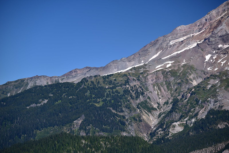
And on Paradise Park:
After enjoying the views we descended down the east size of East Zigzag, reached the junction where the Burnt Lake Trail heads south, and turned right. The next mile of trail was in the worst shape of everything we’d been on today. It was brushy with at least 20 blowdown:


As we approached the junction with the Devils Tie Trail we left behind the blowdown and things improved. And beyond that point we were back on trail we had been on earlier, which was in good shape. It was smooth sailing back to the trailhead.
We saw hardly anyone on today’s hike, which was nice. This turned out to be a really nice hike with beautiful forest, a peaceful lake, and great views. We really lucked out with the weather because the skies had been pretty hazy with smoke in the days prior, and they became hazy again that following week. We hit the once nice haze-free day, luckily.
Gaia stats: 9.1 miles, 1,830′ elevation gain


