Sunday, June 4, 2023
After being closed for several years this trail is open again so I hiked it on Sunday with Greg and his cousin.
The 2020 Beachie Creek Fire burned a lot of land around the Table Rock Wilderness, including part of the wilderness itself. Trails were closed for several years, but are now open. I talked to someone at the BLM last week and he confirmed hikers could go on the trails, but that crews had not yet been through to clear the blowdown. My brother-in-law hiked to Pechuck from the Old Bridge Trailhead two days before this and said that the blowdown on the Pechuck side of the wilderness wasn’t very bad.
Hiking from Old Bridge is a LONG hike, so we opted for the shorter route from the Rooster Rock Trailhead. There were no cars when we arrived at 10am:

The rhododendron are just getting started so we didn’t see many in bloom, but they are sure are pretty:


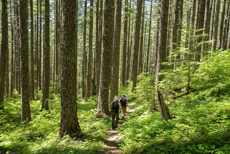
Climbing up through the forest:

We saw several logs that someone had recently cleared from the trail with an axe:
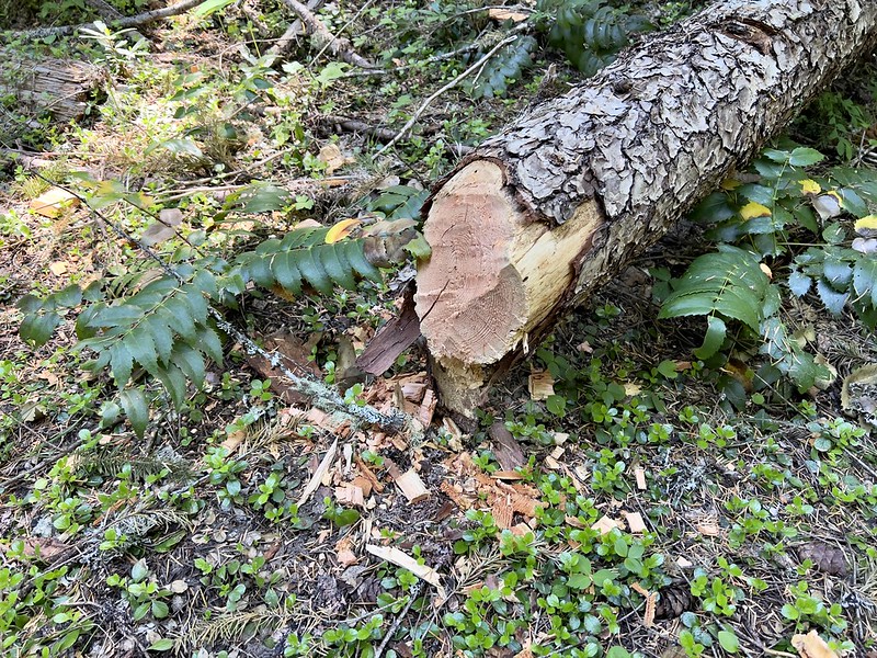
This one was cleared with a saw:

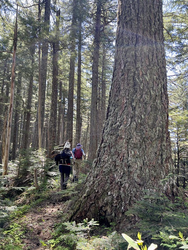
The forest is so lush and green!

We reached the unsigned junction with the High Ridge Trail and turned right:
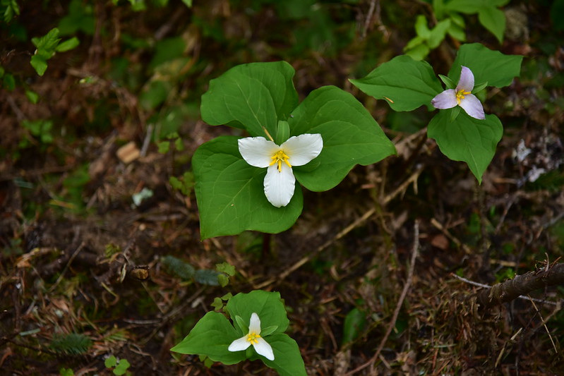
There were a number of wildflowers along the ridge. Trillium:
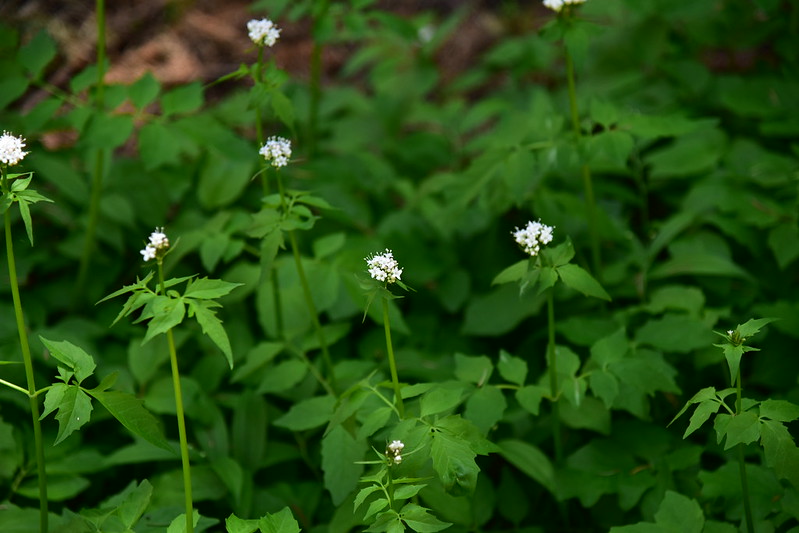
Sitka valerian:
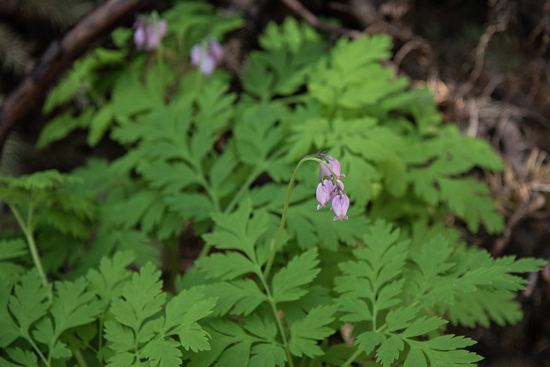
Bleeding heart:
Candyflower:

Woodland violet:

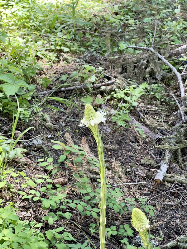
Beargrass:

In a week or two the beargrass will look pretty nice. We saw a lot of it that looked like this, just not quite ready:
We entered the part that had been burned in 2020:


We encountered some blowdown, but it wasn’t that bad:


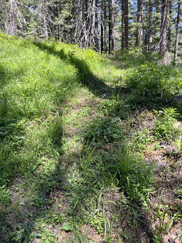
In some spots the returning vegetation is taking over the trail:
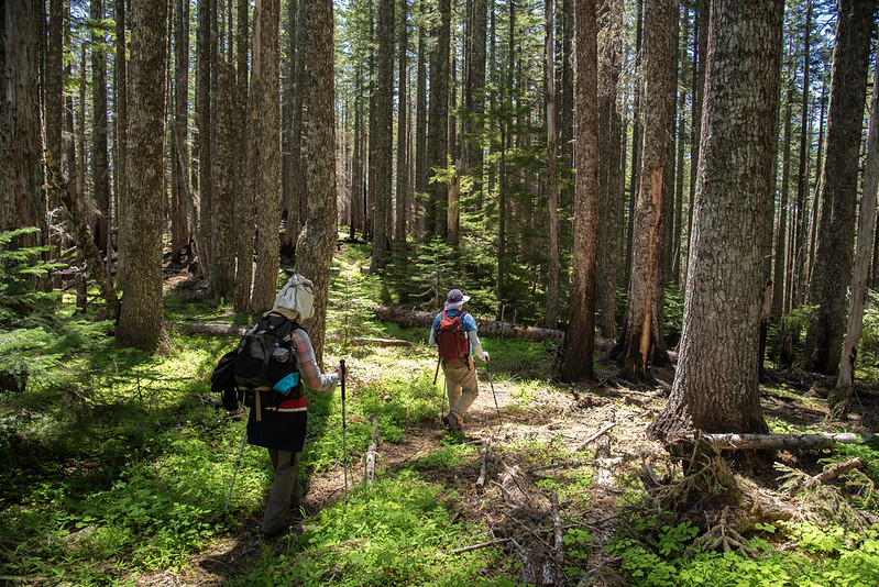
The unburned sections of forest are very nice:
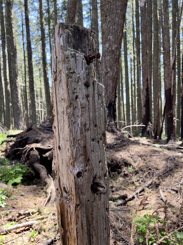
We passed the burned signpost at the wilderness boundary:
We reached the old trailhead on the road (this is a gated road):


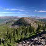
We kept climbing. There’s a spot where you get a nice view of Table Rock:


Entering another section of burned forest:

The composting toilet is still there 0.1 miles before the summit:


Many of the trees on the slopes below the lookout are burned:

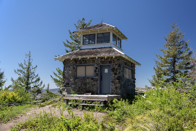
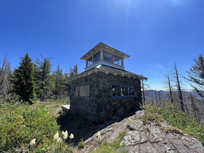
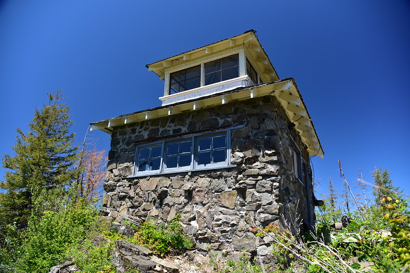
Although the wildfire burned right up to the summit, the lookout did not burn, thankfully. It’s in pretty good shape, thanks to the volunteers who maintain it. But there is a lot of rodent poop inside.

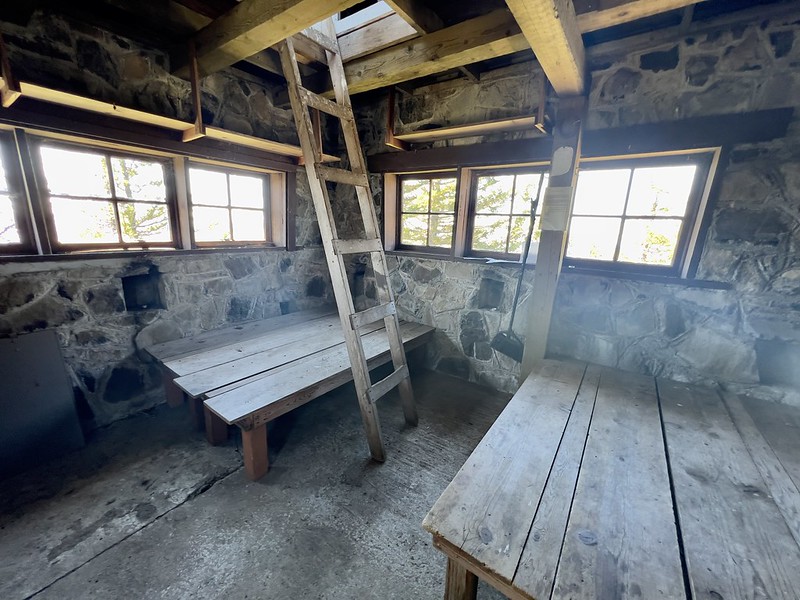
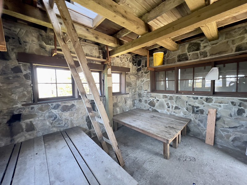
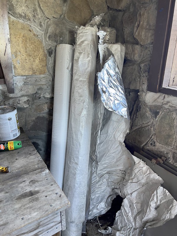
There were several rolls of the protective wrap they use on lookouts when fires are getting close:
I climbed the ladder up to the cupola. View of Table Rock to the north:

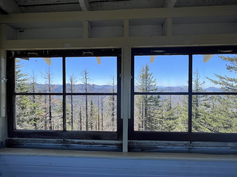
Looking east:
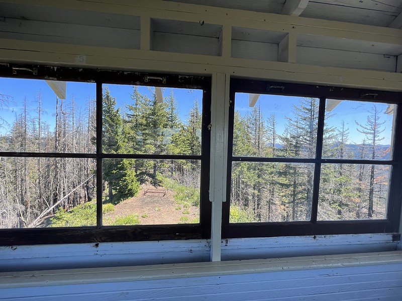
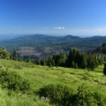
Looking south:
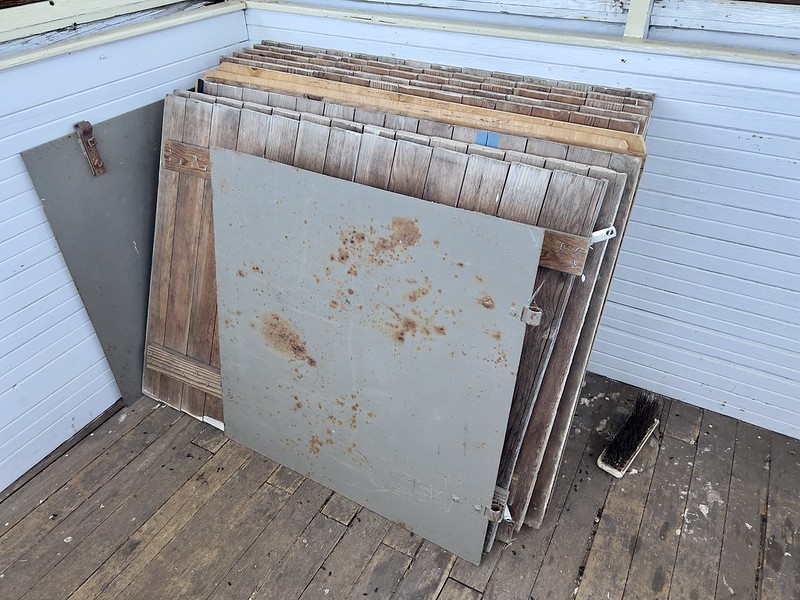
The window shutters:
More beargrass:

Penstemon blooming on the summit:

After an hour on the summit we headed out with the intention of taking the detour out to Rooster Rock (one mile each way). But we had gotten a late start and we were tired, so we went back to the car:
Gaia stats: 5.7 miles 1,670′ elevation gain
