Sunday, July 11, 2021
After being thwarted by rain in 2020 and extreme heat two weeks ago, we were finally able to hike up Mt. Mitchell in Washington today.
It’s been a long time since I’ve done this hike. Hikers used to be able to access a trailhead to the north of Mt. Mitchell, which is what I did when I visited in 2009. But in July 2011 hikers reported that the access road was gated because the Washington Department of Natural Resources didn’t have a road easement across one piece of private property. They stated “DNR does not have a recreation easement for access across this road. Land managers are working on a solution.” But a solution was not forthcoming and the only access was a very long approach along North Siouxon Creek.
I recently learned about an alternate route to access Mt. Mitchell, hiking in from the west on a trail whose origins are unclear (hike description). There was some urgency to explore this route because Washington DNR plans to clearcut it. We had hoped to visit during the spectacular beargrass bloom a few weeks ago, but the record-breaking heat wave forced us to stay home.
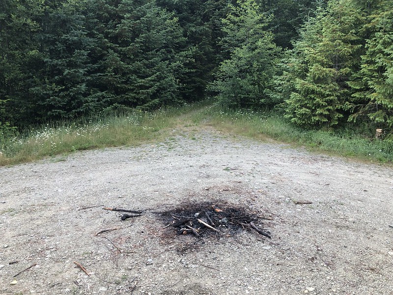
After navigating the unsigned network of logging roads we reached the dead end spur in the middle of a clearcut that now serves as a trailhead:
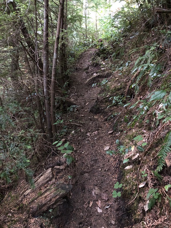
The first 0.1 miles of the trail were SUPER steep. It was more like a boot path than a trail:
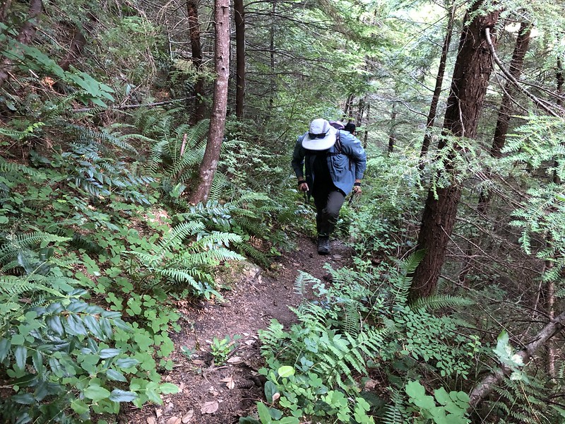
Once we reached the edge of the old clearcut and entered the mature forest (soon to become its own clearcut), the trail became much less steep:

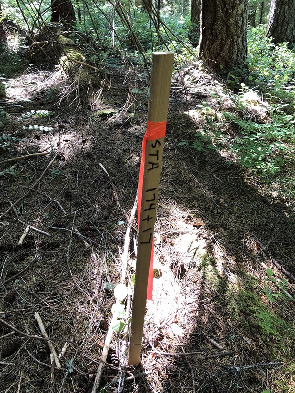
We saw evidence of the timber sale all around:


After about a mile we left behind all the flagging and timber sale signs:


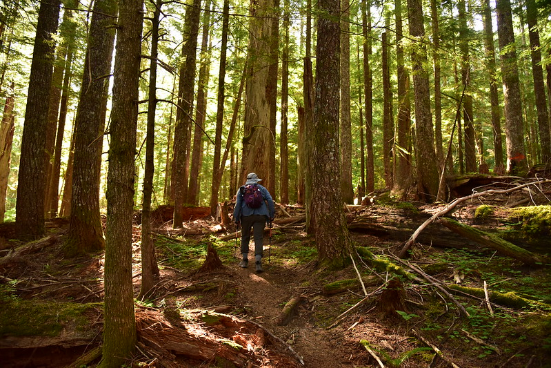
The trail was in surprisingly great shape and there was very little blowdown to deal with:

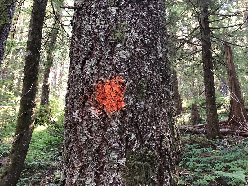
We saw a lot of trees with these orange spray paint markers that seemed to be marking the route of the trail and not have any association with the timber sale:
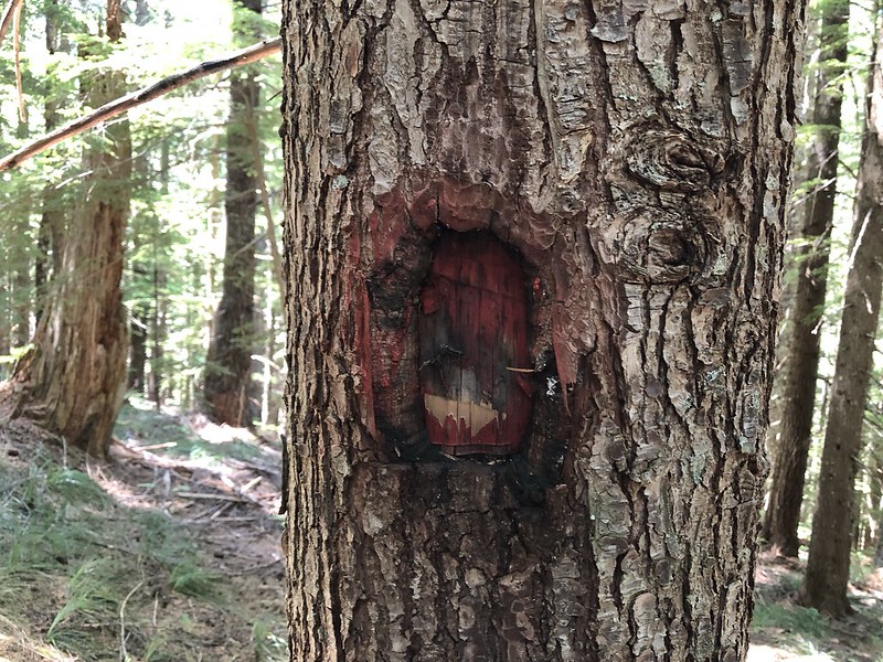
This trail does not appear on old maps, yet we spotted numerous old blazes on trees. This is how trails were marked decades ago. All of the old blazes had been spray painted with red paint:
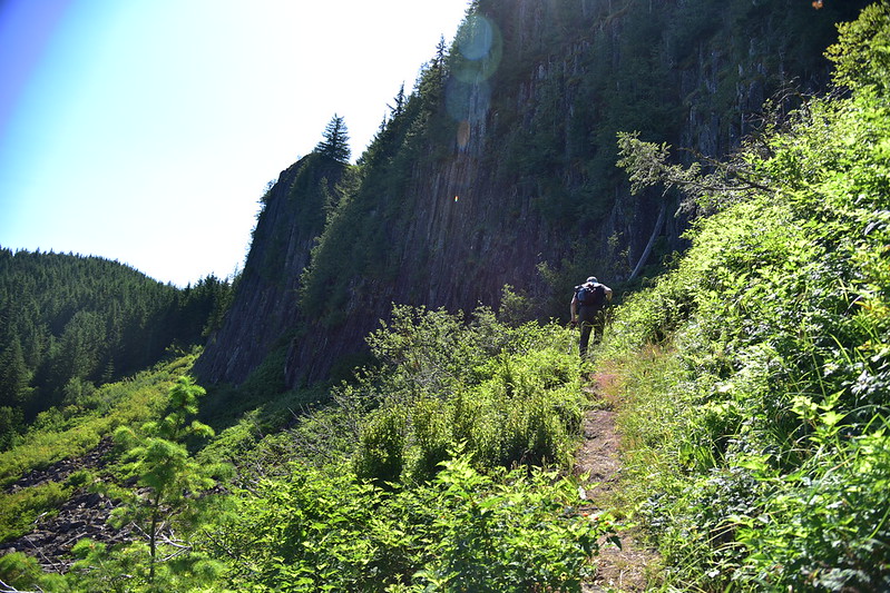
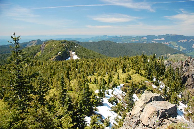
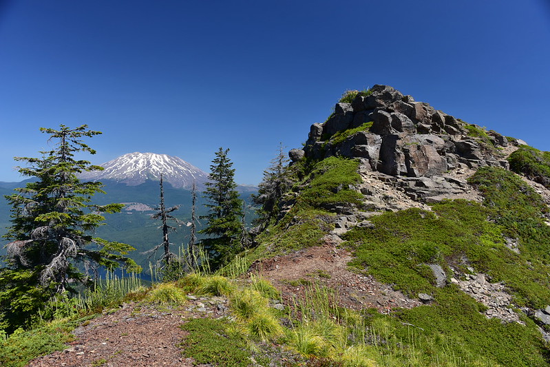
After 2.5 miles the trail emerged into an open talus slope beneath Sugarloaf Mountain and we began making our way across:

The rocky summit of Mt. Mitchell is just out of sight behind that ridge of trees above Greg’s head:

The trail was right beneath the basalt cliff for most of this traverse:

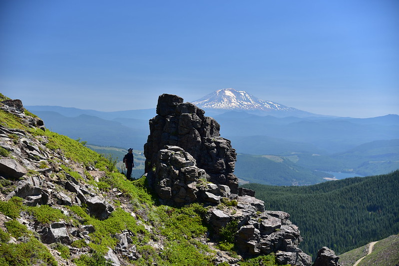
There was a pretty nice view from this section:
After hiking below the summit of Sugarloaf Mountain the trail climbed up to a saddle east of Sugarloaf. At an unsigned junction a user trail headed to the right towards Sugarloaf and our trail continued straight towards Mt. Mitchell:

We saw some nice tiger lilies:

We reached the junction with the “old” Mt. Mitchell trail, the one whose trailhead is no longer accessible, and continued up:

Oh man, this beargrass would have looked so nice a few weeks ago:

We scrambled up this on our last push to the top:

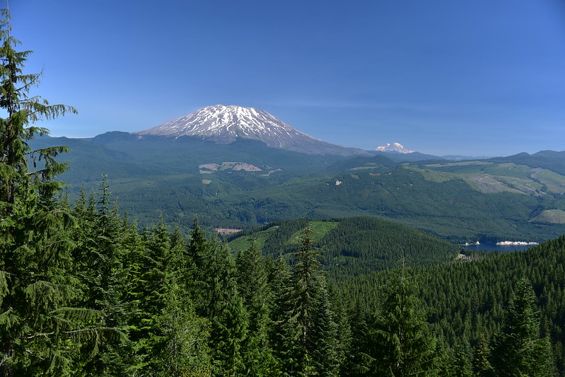
The views were just as great as I remembered them, although there are more clearcuts than there were 12 years ago. The view to the north is best and includes Mt. St. Helens and Mt. Rainier (it was super buggy on the summit and some of them photobombed this shot):
Mt. Adams:

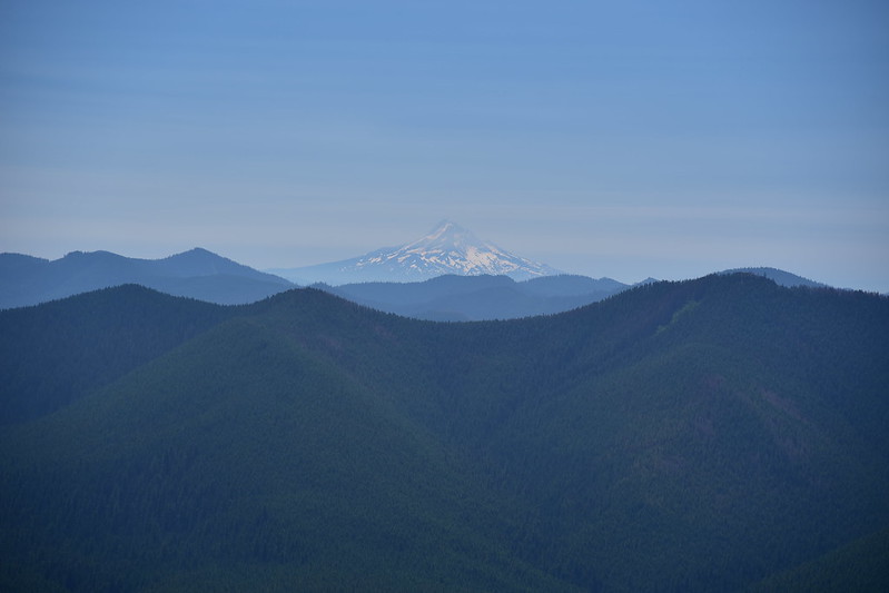
Mt. Hood:
Looking southwest:

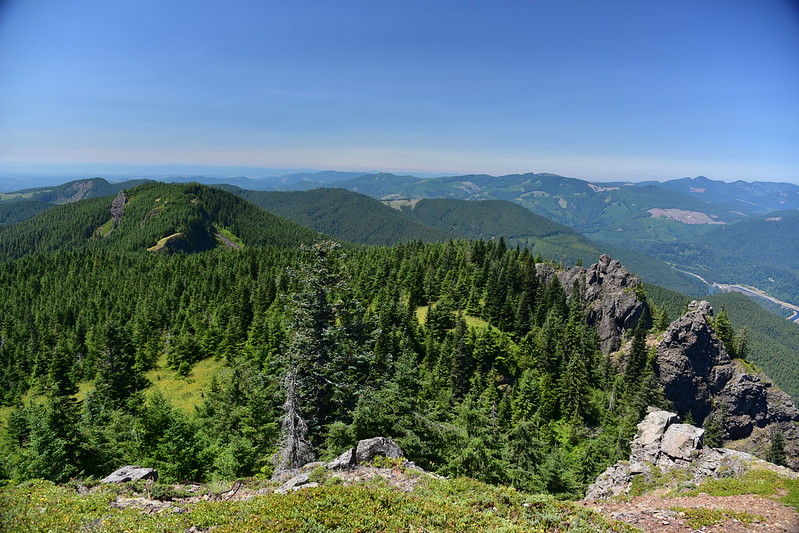
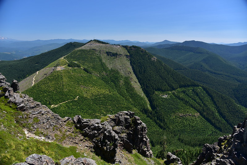
Looking west to Sugarloaf:


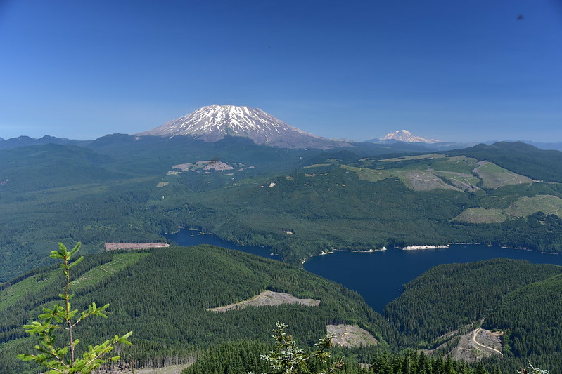
It’s interesting to compare this photo…
…with this one from 2009:
Washington DNR has taken advantage of the road closure to the old trailhead to create a huge clearcut. The old Mt. Mitchell trail I used to hike goes went right through this:

Looking northwest:
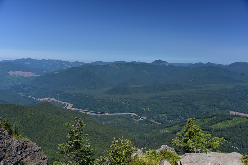
The LONG trail from North Siouxon Creek and Black Hole Falls traverses that clearcut slope on its way up here:
There was once a fire lookout up here:
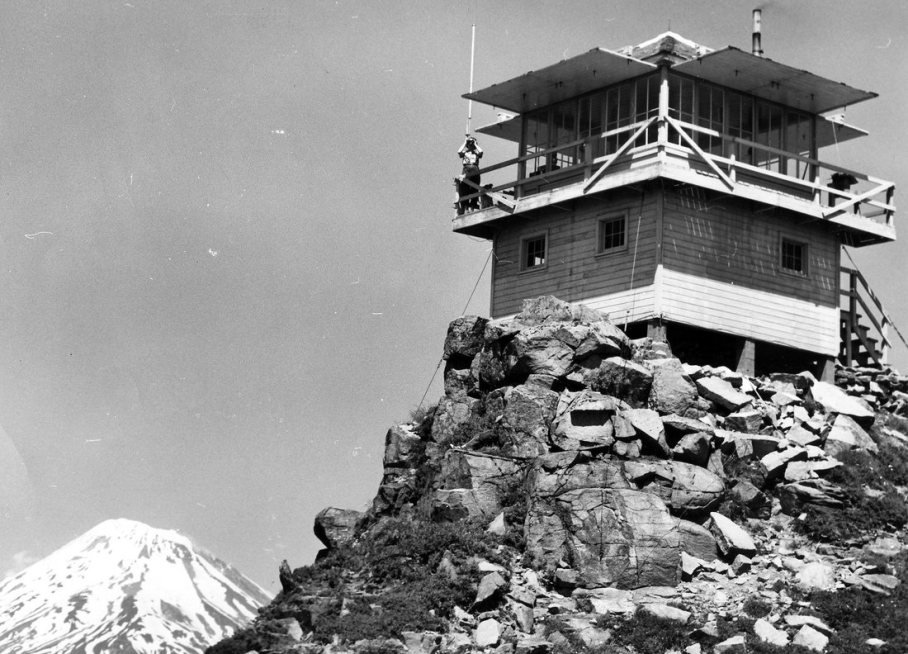
It is long gone and all that remains are cables and a bunch of rusty nails:


The summit proper was SUPER buggy, but for some reason it less buggy just below the summit for so we sat there to take our break:
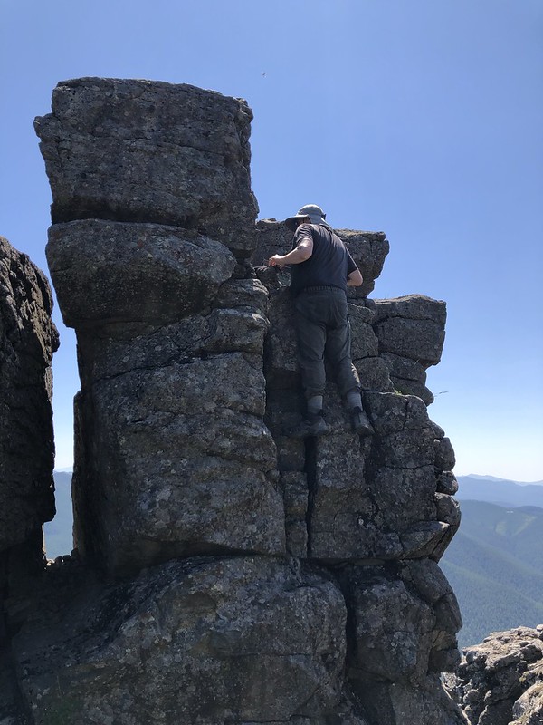
There is a geocache up on that rock pinnacle and Greg wanted to get it:
So he did:
After our break on the summit we descended back down through the no-longer-blooming beargrass:

We retraced our steps back to the car where we found that we had a flat tire:
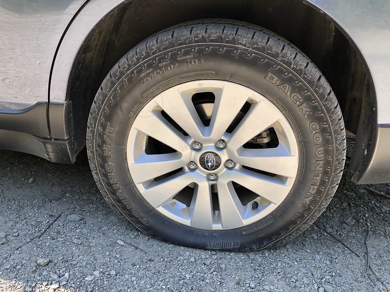
We didn’t think we’d be able to get the lug nuts off but we finally managed it. Poor sad Subaru. After a trip to Les Schwab that week I learned it was a nail that had gone all the way through and was rattling around inside the tire. Amazingly, the hole was able to be patched!

It breaks my heart that this trail will be obliterated by yet another clearcut. It means I probably won’t be able to hike up Mt. Mitchell again in the future. I’m glad I got to visit one last time.
Gaia stats: 7.2 miles, 1,900′ elevation gain


