Saturday, May 30, 2009
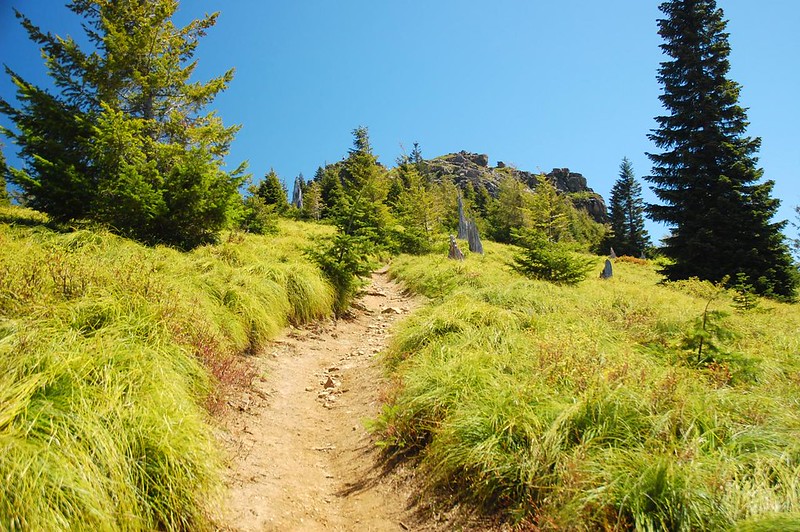
Today I hiked up Mt. Mitchell, a former lookout site near Swift Reservoir just outside the boundary of the Gifford Pinchot National Forest on land owned by the state of Washington. The hike is about 6.2 miles round-trip with 2,100′ elevation gain. The trail starts off in the trees and stays there for most of the way, but I did get a glimpse of Mt. St. Helens

Hiking through a beargrass meadow on the way to the top:
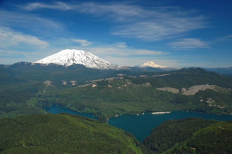
The summit had 360-degree views. Here’s Mt. St. Helens and Mt. Rainier with Swift Reservoir below:
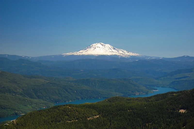
Closer view of Mt. St. Helens:

Mt. Adams:
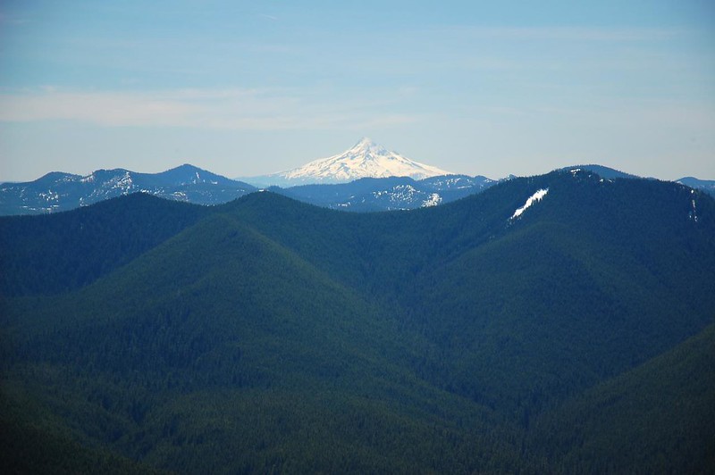
Looking south to Mt. Hood:
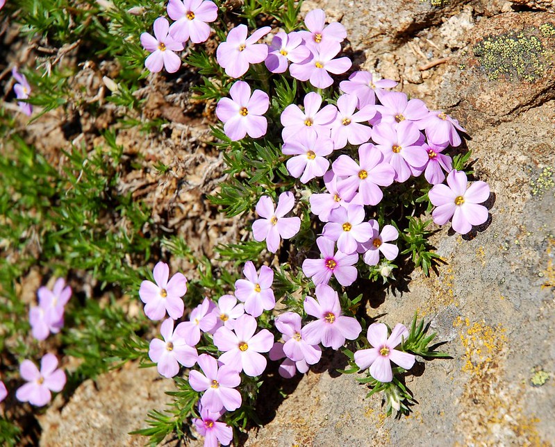
Phlox was growing all around the summit area:

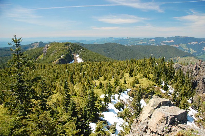
Looking east over Sugarloaf Ridge. There is a faint trail that goes out that ridge, I’ve read, but I didn’t tackle it:
It was a warm day and shortly after beginning my descent from the summit I ran out of water. (I carried two liters, but it wasn’t enough.) Still, this was a really great hike with fantastic views!
2011 Update: Unfortunately this hike is no longer doable. The access road crosses a piece of private property that changed hands in 2011 and was bought by a company called Cougar Cabins LLC. They refused to allow recreation access across their land. Not cool! Read more here and here. There is a longer “back door” route which you can read about here.


