Saturday, May 8, 2021
Today we hiked up Grayback Mountain which is in the vicinity of the Klickitat Wildlife Area in Washington.
The hike is entirely on roads across land owned by Western Pacific Timber, which allows hikers on its land. If you come here I highly recommend using a GPS or a mapping app such as Gaia since the roads can be confusing and there is private property around.
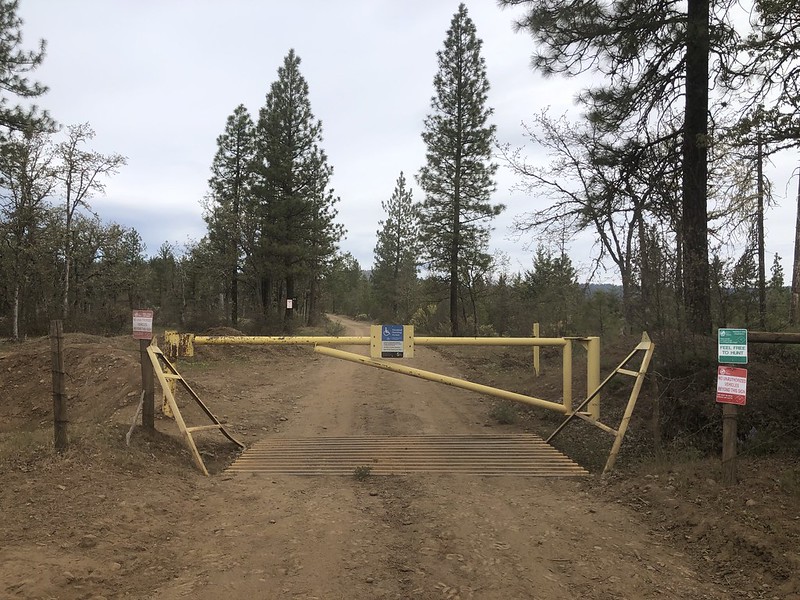
Most people park here at this gate on Grayback Road but this makes the hike 11+ miles:
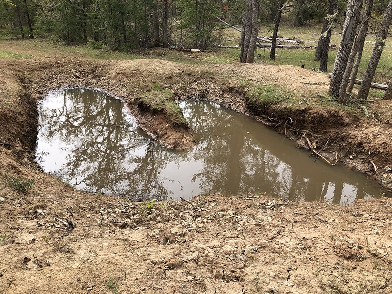
Opting for the shorter version of this hike we aimed for a different starting point. Just before that gate the road splits. A sign indicates Grayback Road to the right (where you’ll soon reach that gate) or Sheep Canyon Road to the left. We went left. After 1.4 we reached a junction where the road turns sharply left and we stayed to the right. After 0.3 miles we reached the property boundary between state land and Western Pacific Timber land with no gate but a bunch of signage saying no unauthorized vehicles were allowed past that point:

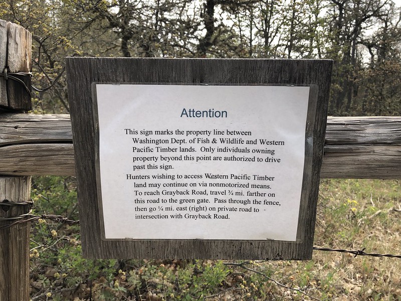
So this is where we parked and started walking:


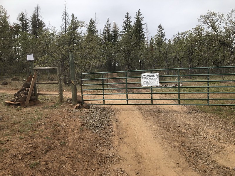
After about 0.4 miles there is this gate behind which are some private property holdings. But you’re allowed to go past this gate and turn right to get to Grayback Road:

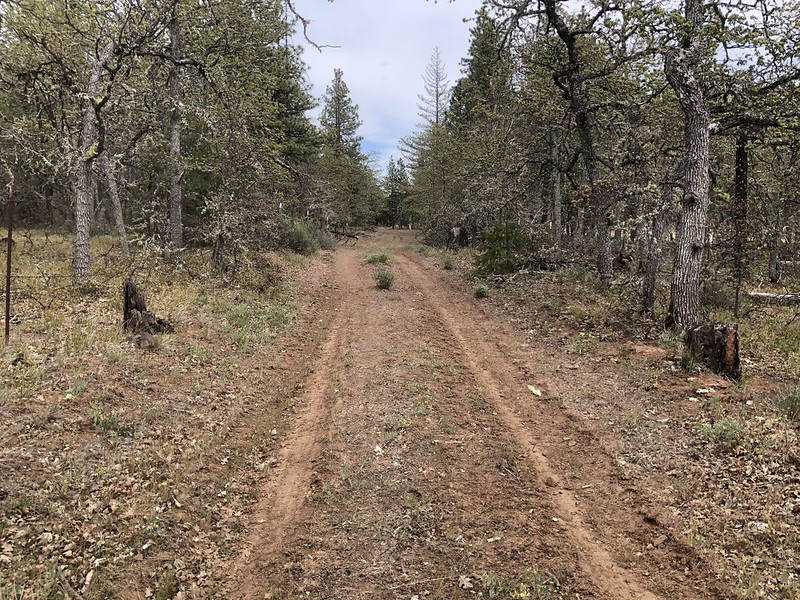
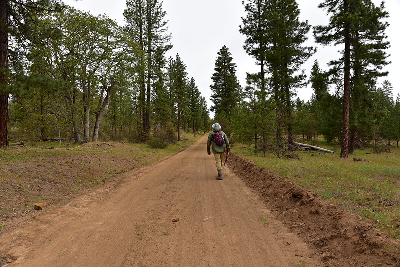
Turning right will take you down this road:
Pass through a barbed wire fence and go around this tank trap:
Then continue following the old road:


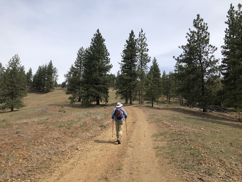
Then 0.6 miles from the car we reached Grayback Road and starting heading up it:
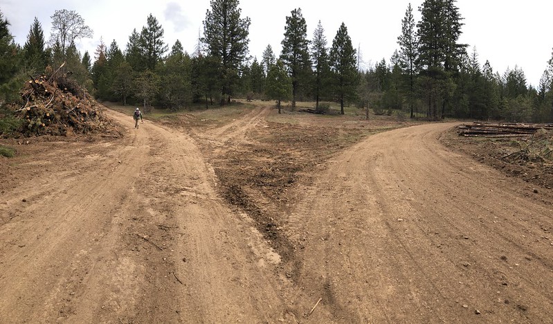
At the 1.1 mile mark (from where we parked) we reached a junction and stayed left:
You can see the slopes of Grayback Mountain in the distance:
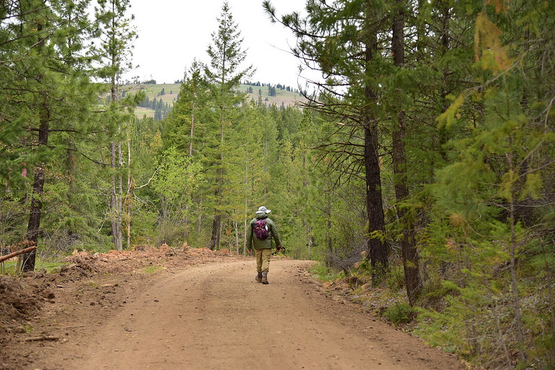
After 0.4 miles we reached another junction and stayed right:


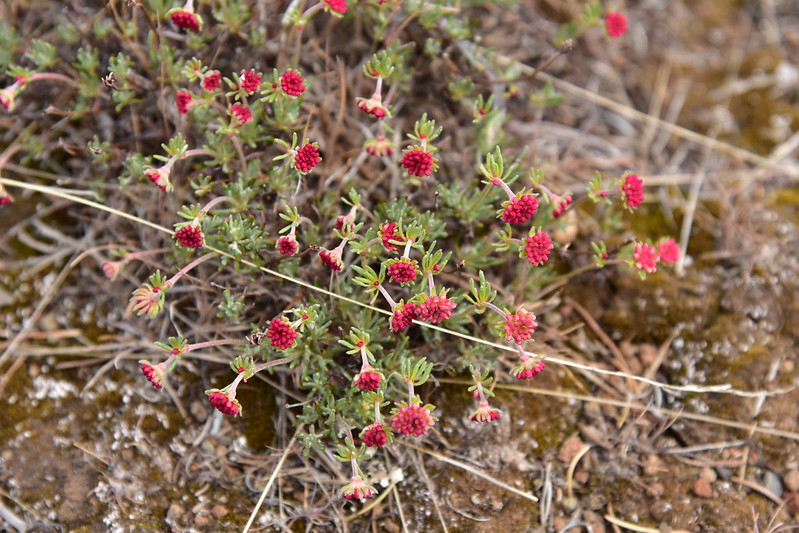
We saw some wildflowers along the road.


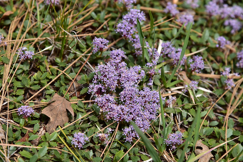
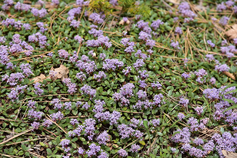
This purple stuff is pinemat, or mahala mat:

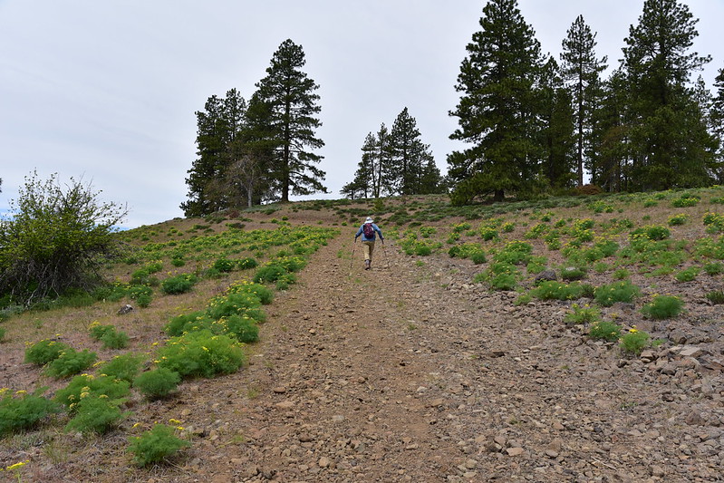
As we emerged onto the lower slopes of the mountain we started seeing A LOT of desert parsley:


There were some balsamroot, but not a lot:


Buckwheat just starting:
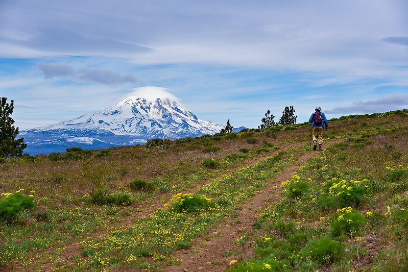
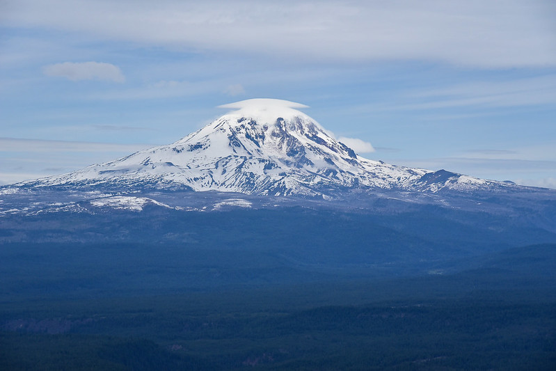
Mt. Adams came into view which was a pleasant surprise. With all these clouds I didn’t know if we’d see it or not:

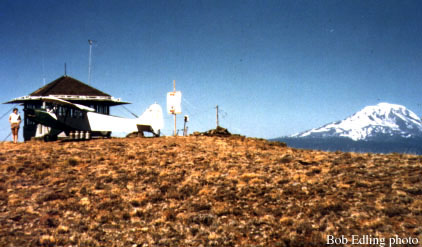
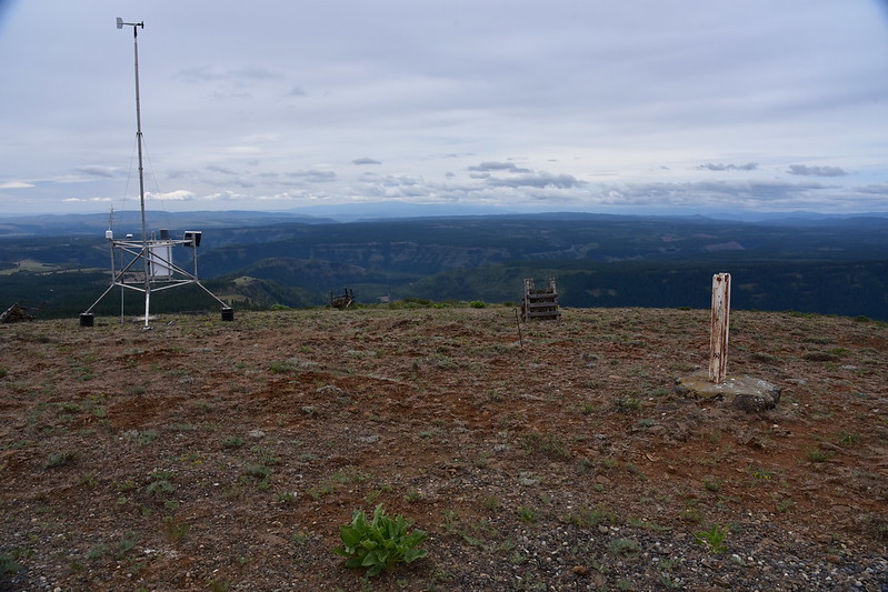
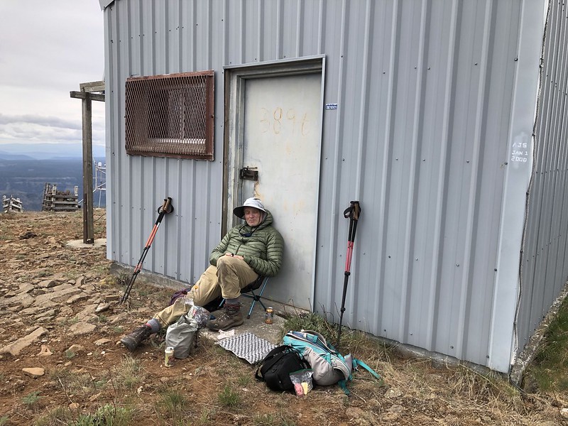
4.1 miles from the car we reached the site of the former fire lookout where communications equipment now sits:

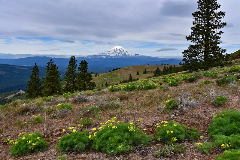
View of Mt. Adams:

The view of Mt. Hood was non-existent. You can just barely see the lower snowy slopes beneath the clouds:
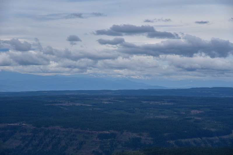
If you want to see the views we might have had, check out Deryl’s recent post.
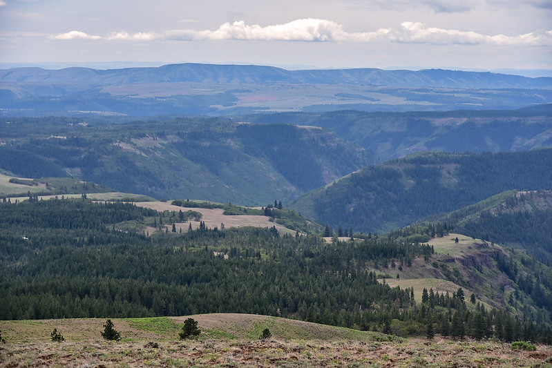
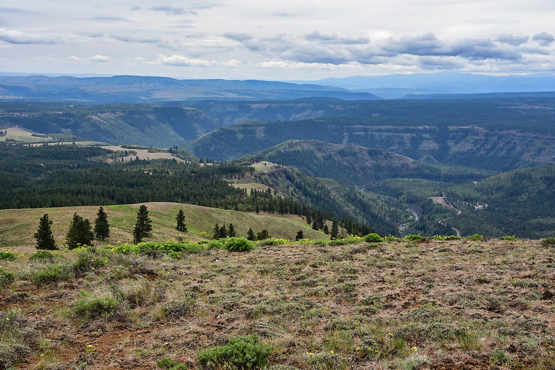
Looking down on the Klickitat River Canyon:
There isn’t much evidence of the old lookout that once stood here:

Maybe where the toilet once stood?

The wind was strong up here so this is where we took our break:
The site of the old lookout and the current communication equipment is not the true summit. The true summit is just over there:

So we walked over there. It’s pretty anti-climatic, just a gentle rise marked by a USGS survey marker. If you move a bit off the road you can get a peek at Mt. Adams through the trees:

Looking back:

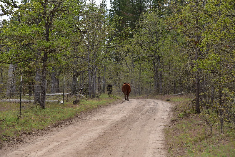
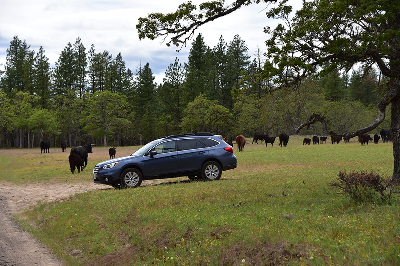
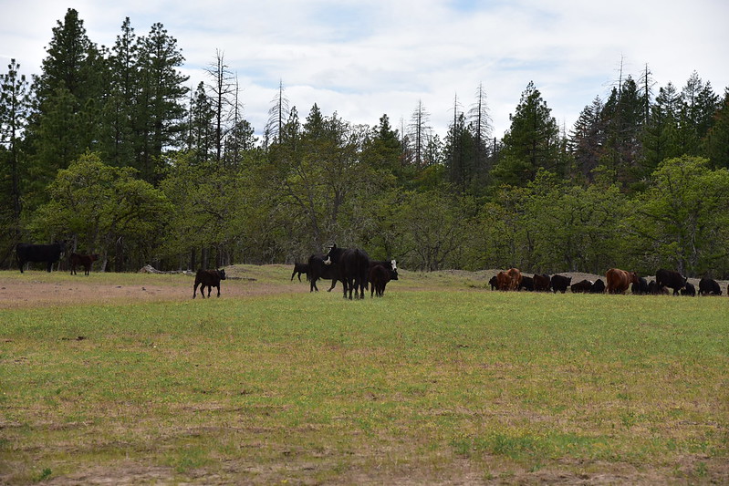
And then we hiked back down. Almost back to the car we encountered a skittish herd of cows who ran away. I was sorry to see them here since cattle grazing is TERRIBLE for public land:
We didn’t see anyone else all day, which was great. The overcast weather was disappointing, but it was still a nice hike and I’m really glad we didn’t do the 11+ mile version!
Gaia stats: 8.8 miles, 1,600′ elevation gain


