Friday, July 8, 2022
Last year we decided we needed to devote a three-day weekend to exploring the northeast side of Mt. St. Helens, so that’s what we did this weekend.
Friday morning we left Portland and drove up Highway 503, through Cougar, then north on Road 25. This route is VERY curvy and VERY slow. Even as the driver I got carsick. The poor state of the road didn’t help. (On Sunday we would end up taking Road 25 north to Highway 12, which is slightly longer in terms of mileage, but cuts out many many miles of curvy road.)
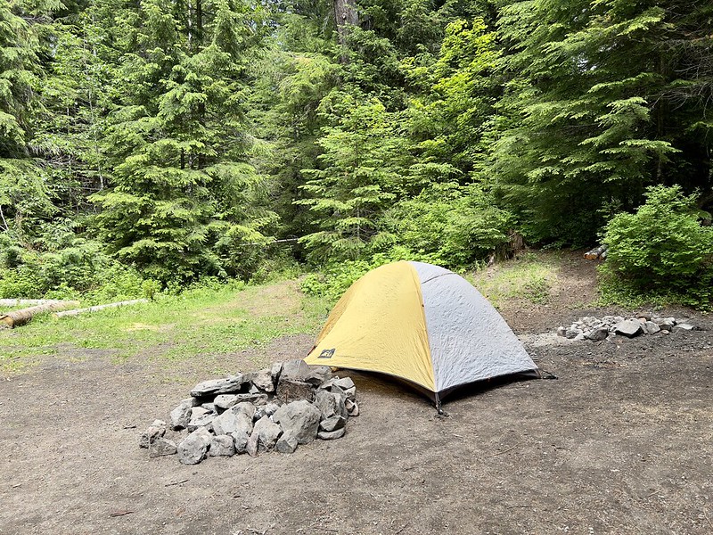
We lucked into a nice dispersed camping spot on Iron Creek:

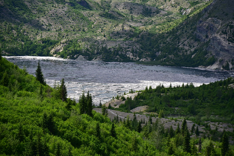
We had time for a short afternoon hike so we drove out Road 99 towards Windy Point, then pulled in at the Harmony Viewpoint:

View from the parking area with a little bit of Spirit Lake visible below:

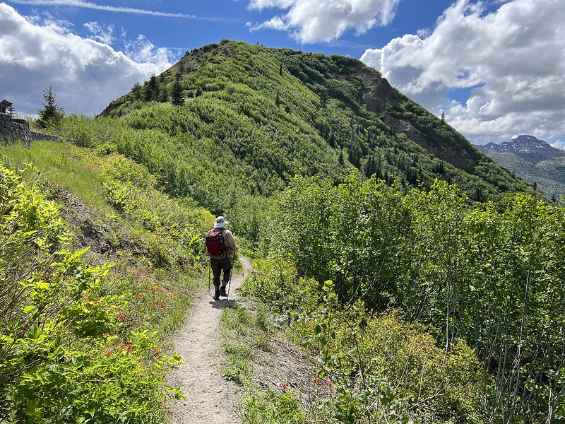
Looking north from the trailhead:

Before Mt. St. Helens erupted Spirit Lake was a popular site for recreation. Harmony Falls was located at a spot where Harmony Creek tumbled down a cliff near the lake. After the eruption that cliff was submerged under the waters of Spirit Lake when the lake level rose 200 feet above its previous level. Although the waterfall is gone, there is a trail that descends to the spot where Harmony Creek now flows into Spirit Lake. This is the only legal access to the shore of Spirit Lake.
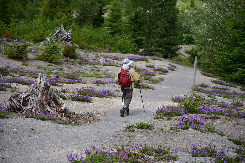
We began our descent:
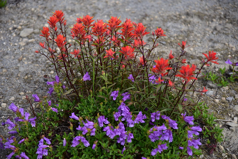
We were pleasantly surprised by all the wildflowers:


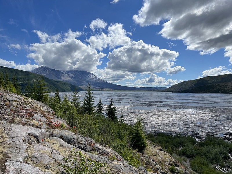
Soon the lake came into view:
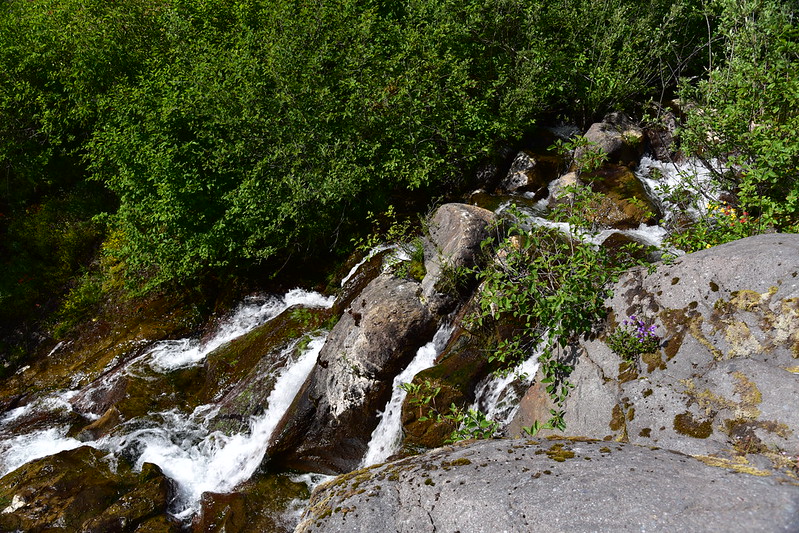
Harmony Creek:
42 years later there are still hundreds of logs floating on Spirit Lake:

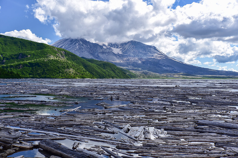

Here is a view of Spirit Lake taken from the other side in the Harry’s Ridge area:
\
After seeing Spirit Lake from other places it was neat to actually go up to the shoreline. There was no one else around and it was a nice peaceful place to reflect on the eruption and its aftermath.
Gaia stats: 2.3 miles, 560′ elevation loss
Video:


