Saturday, July 9, 2022
The second hike we did on our Mt. St. Helens weekend was the Plains of Abraham loop.
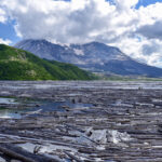
We drove out Road 99 to its end at Windy Ridge. We had a partial view of Spirit Lake from the parking lot:

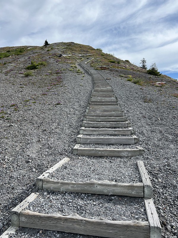
Before our hike we climbed the stairs to the viewpoint:

Up here we had a better view of Spirit Lake:

And of course Mt. St. Helens:

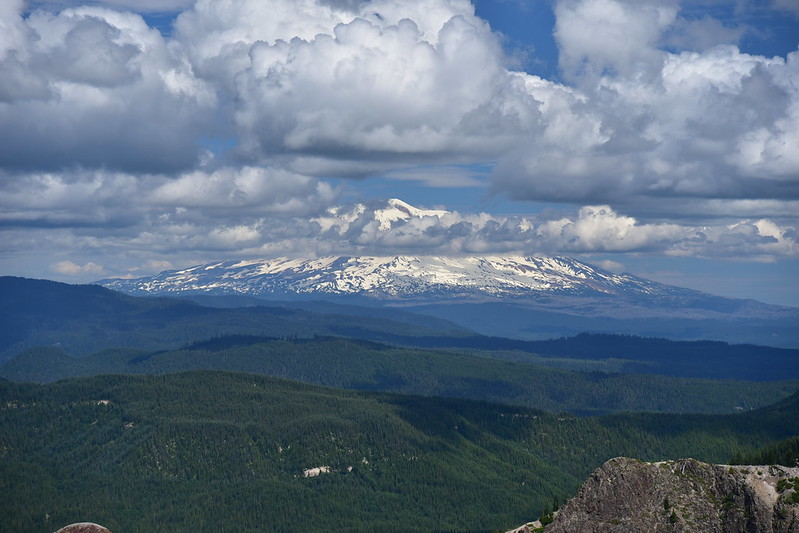
We could see Mt. Adams:

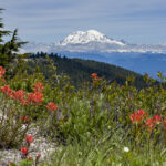
And the top of Mt. Rainier:

There was a whole bunch of blooming penstemon, a sign of things to come:

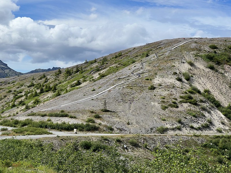
We descended back down the stairs and headed to the far end of the parking lot to begin our hike. Looking back at the stairs from a distance:
Technically the road continues past the parking lot but its gated. So from here we hike:

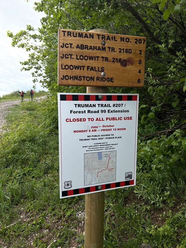

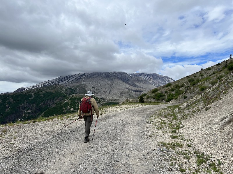

We started seeing wildflowers:

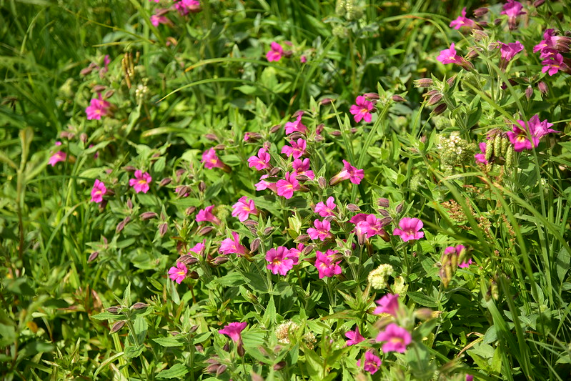
And more wildflowers:

Parts of this road are washing away:


We reached a junction where the Abraham Trail heads off to the left, which you see in the photo below:

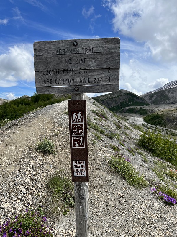
We stayed right on the road until we reached its end, and we picked up the Windy Trail:

The wildflowers were profuse and awesome!
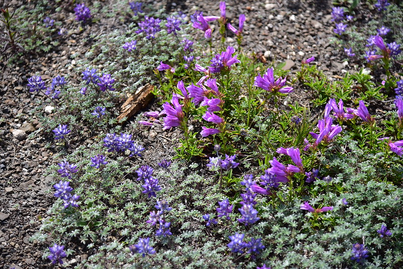

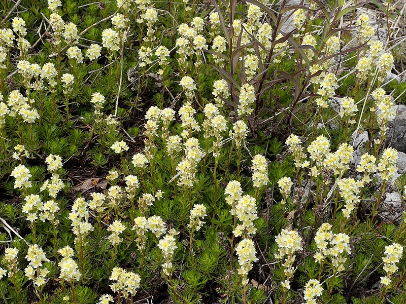


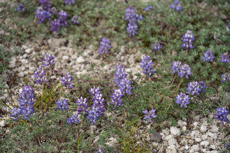
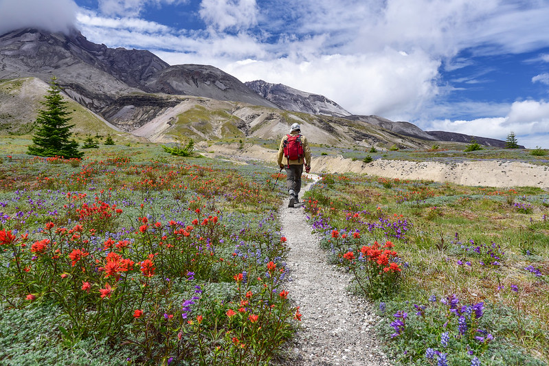
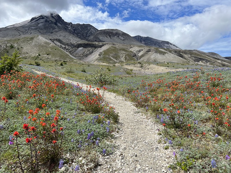
The landscape is very different from other alpine environments, even though it’s been 42 years since the eruption:

We reached the junction with the Loowit Trail and turned left:

This is the closest I’ve ever been to the mountain before:

This section required a bit of route-fiding:
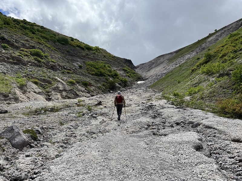
Then we climbed up this very section of trail to the pass:

Looking back from where we came:


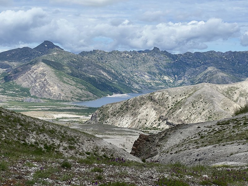
Blooming heather:

We reached Windy Pass, then descended down the other side. This trail was very narrow and sandy. That’s the Plains of Abraham below us:
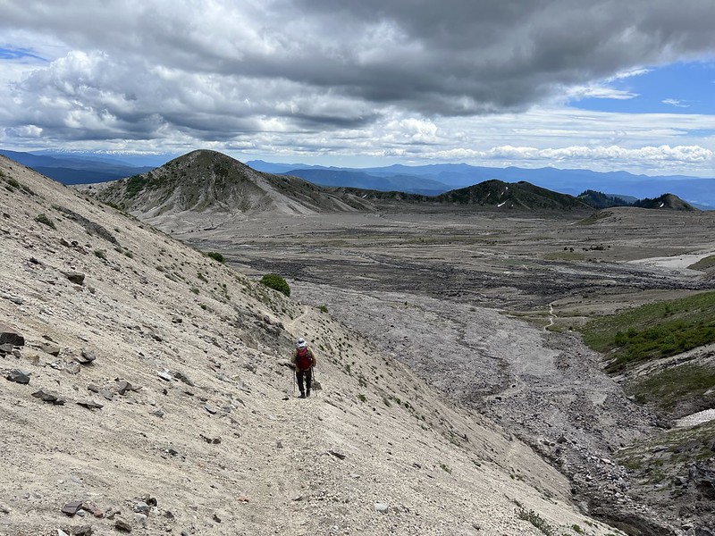
We crossed a creek after descending from the pass and the water was surprisingly clear:

Back on flat ground again:

Looking back to the mountain, partially hiding in clouds:

Then we reached the junction where we turned left onto the Abraham Trail. We sat and took a break here before continuing on:


This trail is popular with mountain bikers, of which we saw many. Unfortunately they don’t always stay on trail. You can see the trail on the left side of the picture, and in the center you can see where the bikers have blasted down the slope off the trail:

The views to the east along this stretch were great:
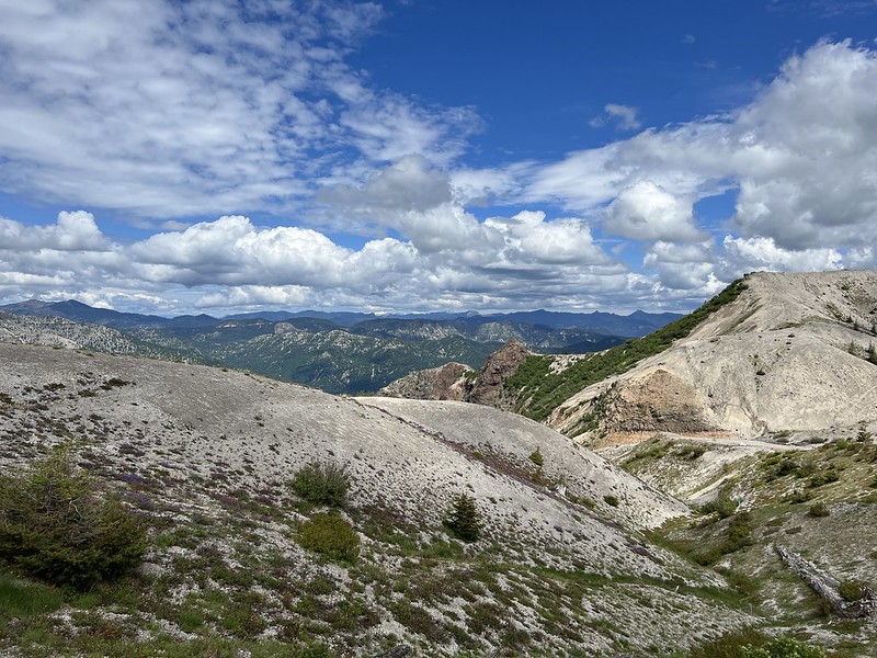


Unfortunately Mt. Adams was mostly blocked by clouds, but we could see the bottom:

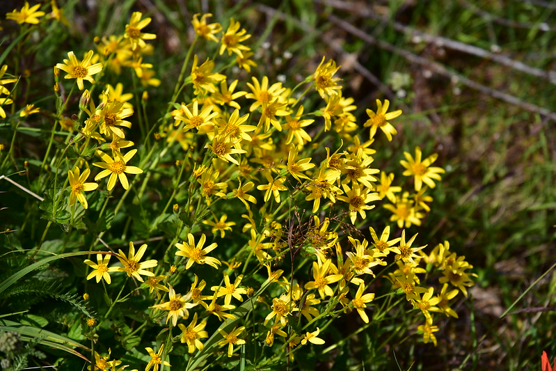
The wildflowers along this section were just as nice as we had seen before on the Windy Trail:
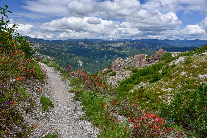
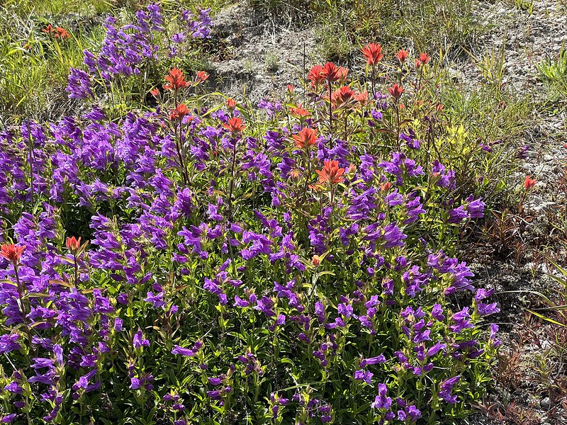
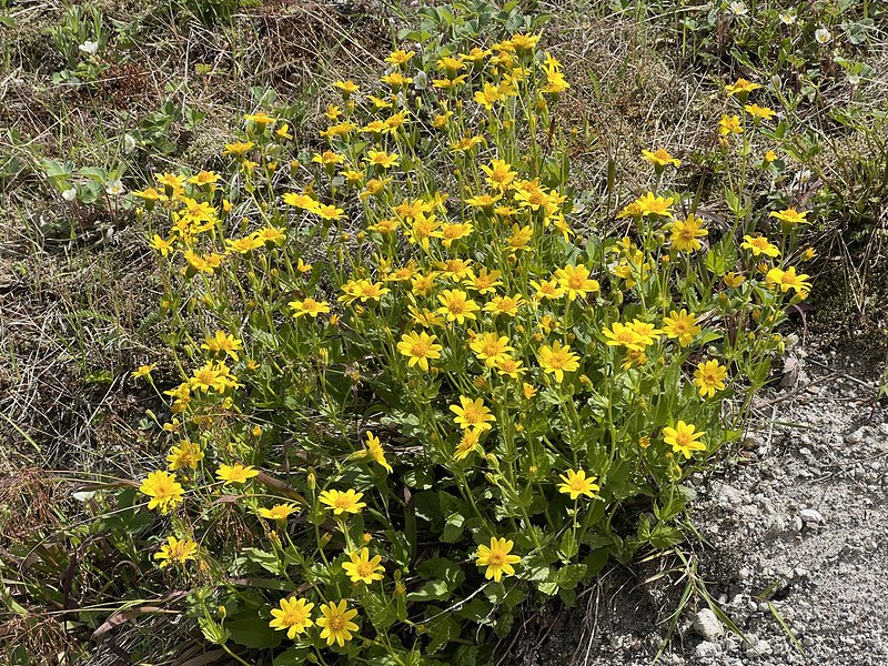


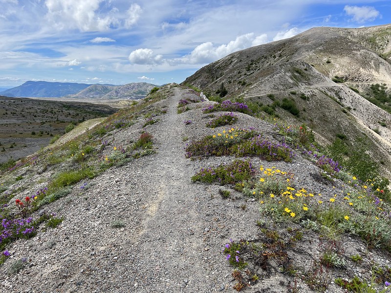
The last part before descending back down to the closed road was walking along the top of a ridge, which was pretty cool:


Mt. Adams starting to become more visible:
Looking back along the ridge:

This butterfly posed for us:

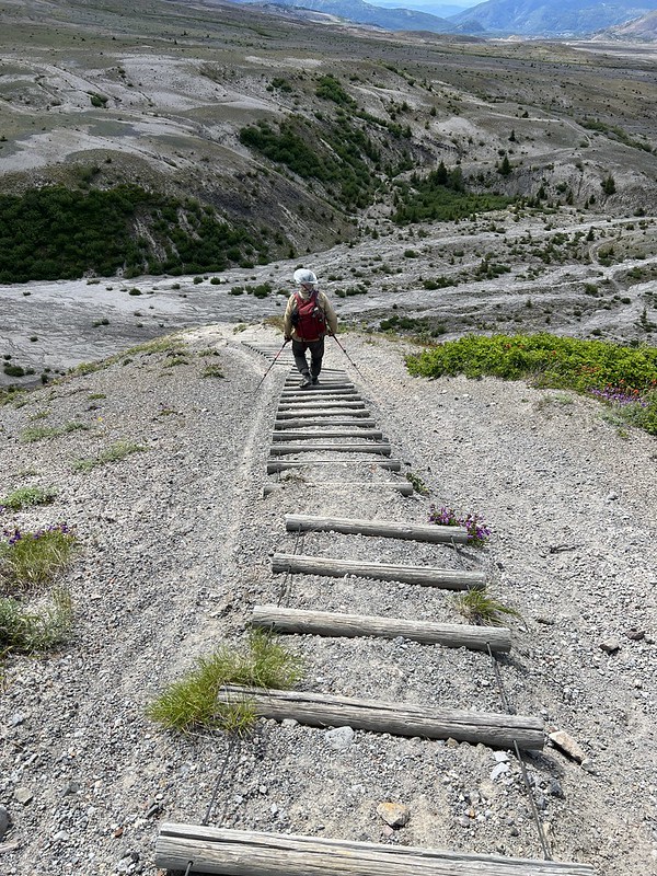
Part of the ridge trail required navigating these old “stairs” that are in need of maintenance:
Almost back to the road:

Another look back:

Then we were back at the junction with the road and we began the hike back to the car. A parting shot of Mt. St. Helens:

I’ve known about this hike for many years but since the trailhead is close to four hours away I’ve never had the chance to visit. We hit the wildflowers at just the right time and this was a beautiful hike!
Gaia stats: 8.6 miles, 1,180′ elevation gain
Video:
