Friday, July 2, 2021
Today we returned to the Strawberry Basin Trailhead in order to hike to Slide Lake.
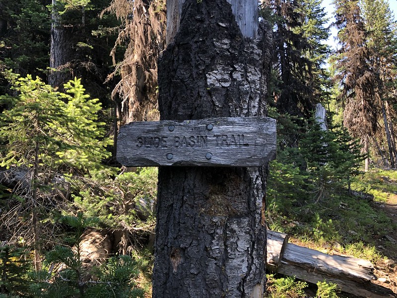
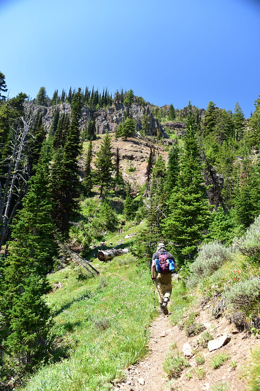
We hit the trail at 9:20. The first part of the hike was over same ground we covered on our hike to Strawberry Lake two days prior. Then after a mile we turned onto the Slide Basin Trail:
After another mile we reached a viewpoint:


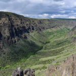
We could see part of the John Day River valley below:
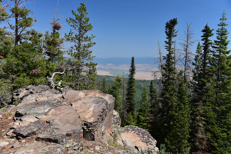

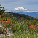
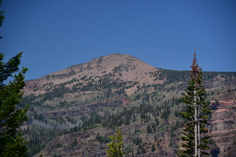
And we could see Strawberry Mountain:
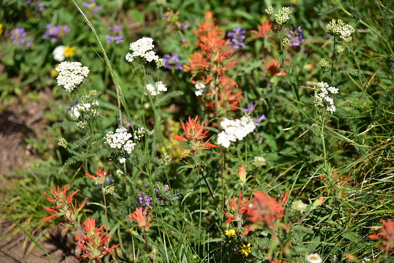
There were some nice wildflowers along the trail here:



Immediately after the viewpoint was a trail junction where the trail split. One trail was the continuation of the Slide Basin Trail for hikers and the other was Trail #372B for horses:

We took the hiker trail and made our way south towards Slide Lake:

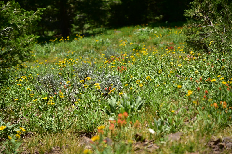
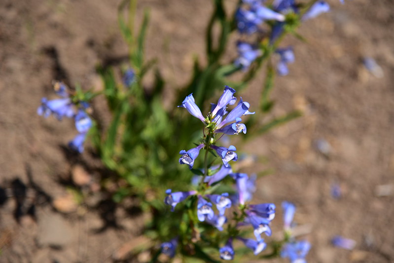
There were quite a lot of wildflowers along this stretch:



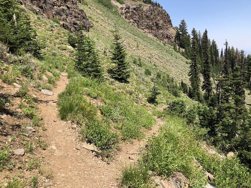
Unfortunately the trail was not in great shape. It was very narrow in many spots with a lot of exposure. There were also several sketchy washouts to cross:


The poor condition of the trail was unfortunate because it was pretty scenic:


We had a great view of Slide Mountain to the east. This photo was taken on the way out in the afternoon when the light was better:

At one point we had another view of the valley below:

Looking back:

A mile after the junction with the horse trail we reached another (unsigned) junction where the horse trail reconnected:
Shortly after that was a viewpoint where we could see down on Slide Falls:

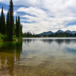
We reached the junction with the High Lake Trail and continued on, finally reaching Slide Lake:
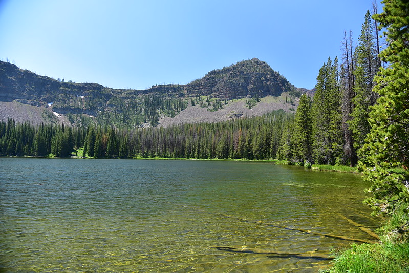

We hiked around the right (west) side of the lake to the far end where we found a nice spot in the shade to sit and hang out for awhile.

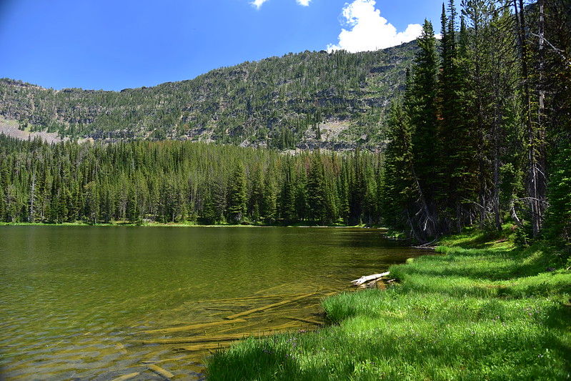

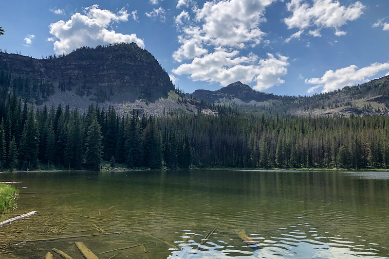
We had a nice view of Slide Mountain beyond the lake:
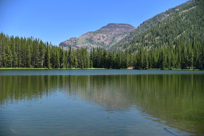
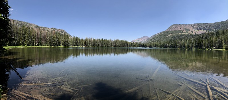
Of course we cooled off in the water:
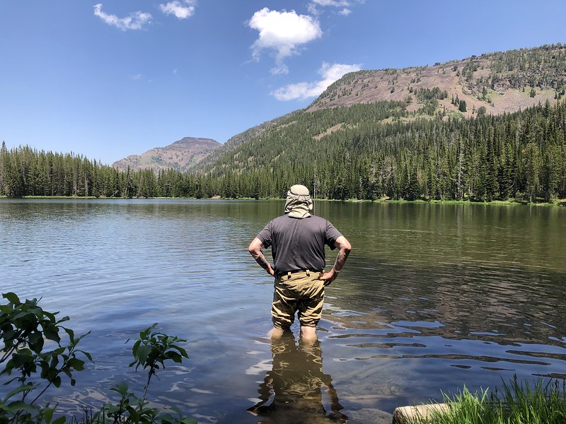
We did not see or hear another person the entire time we were at the lake. After several hours of relaxing we packed up and got ready to head out, but not before visiting Little Slide Lake, which is a two minute walk from the main lake:

Bog lily:
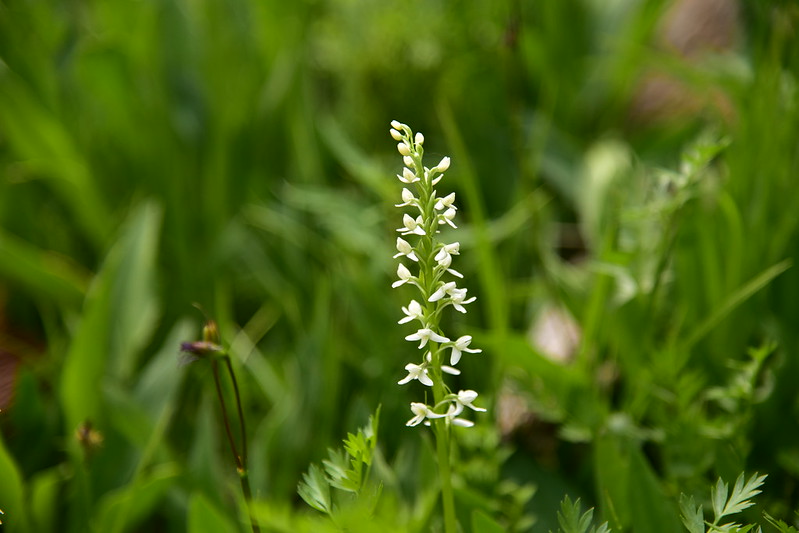
We returned to Slide Lake and finished looping around it’s shore on the east side. Looking back:
We crossed the outlet creek where we stopped to filter water:
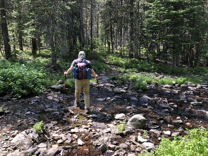
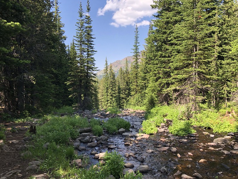
Then we retraced our steps and hiked back out to the car. Greg spent a lot of time photographing wildflowers on the way in and the way out, so it was a really long day and we didn’t drive away from the trailhead until 6pm.
Gaia stats: 9.5 miles, 1,600′ elevation gain
