Thursday, July 1, 2021
Today we hiked to Wildcat Basin.
This was our second of four hikes while staying at the Fall Mountain Lookout. The hike starts at the Road’s End Trailhead (although Road 1640 does not in fact end here, but continues a little it further). This trailhead is at 7,800′ so it gets you into the high country of the wilderness pretty easily.
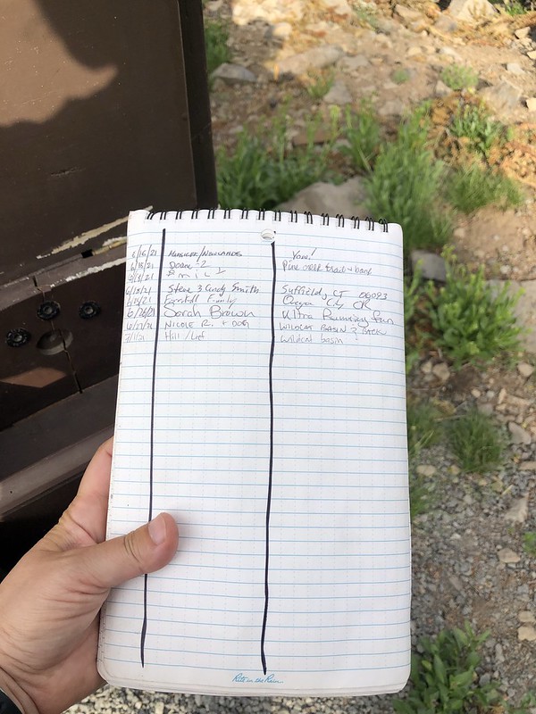
The Malheur National Forest no longer stocks the permit box at the trailhead and now does these logbooks:
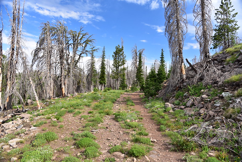
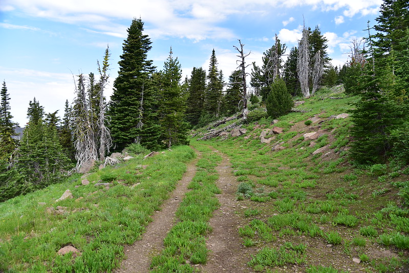
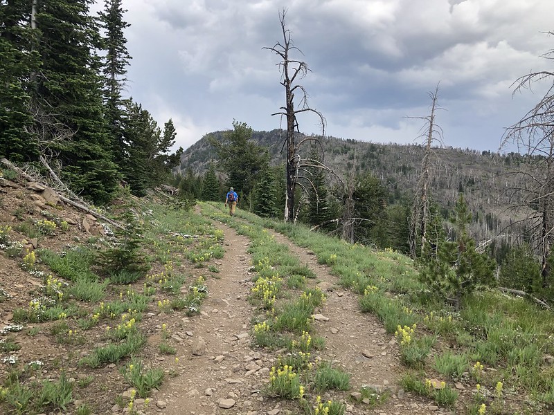
The hike started off on old road:
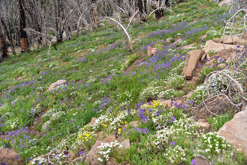
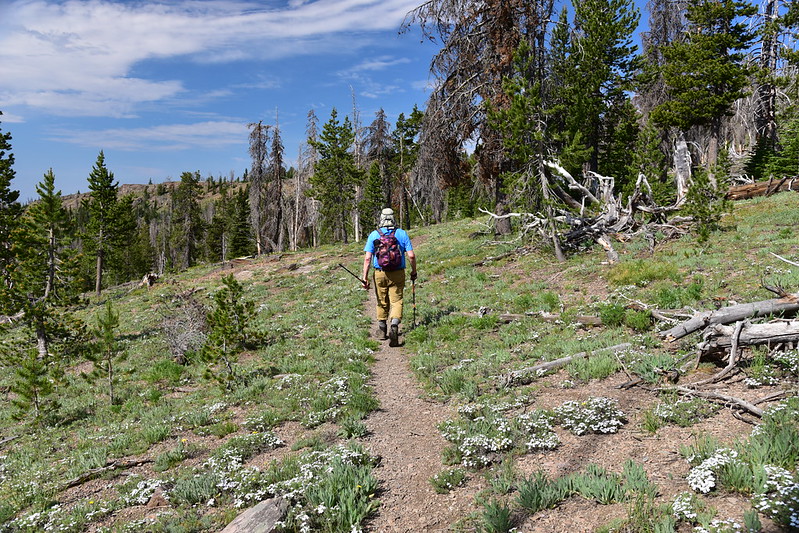
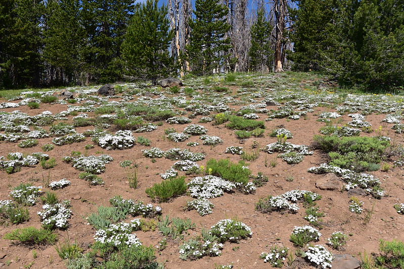
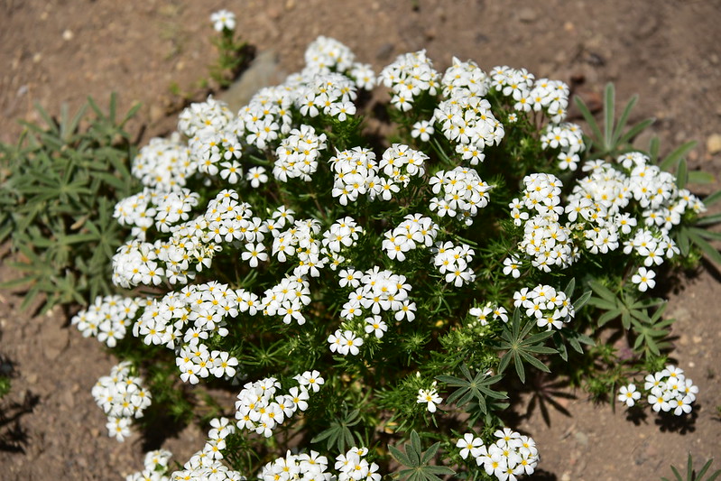
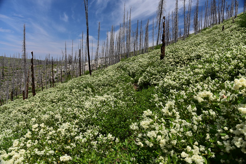
There were SO MANY of wildflowers along the old road:


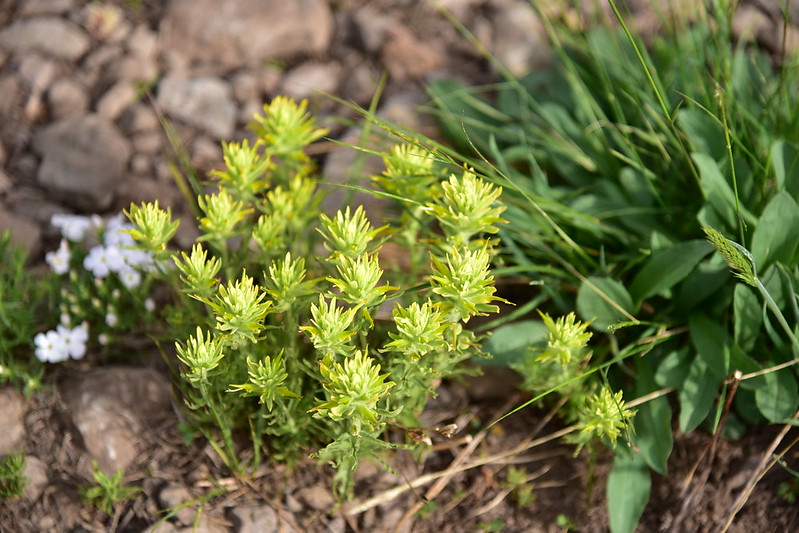
Yellow paintbrush:
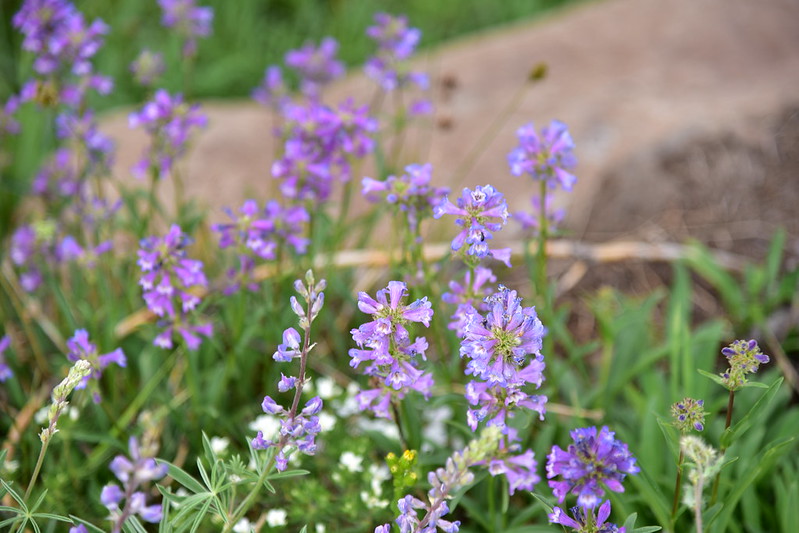
Phlox:


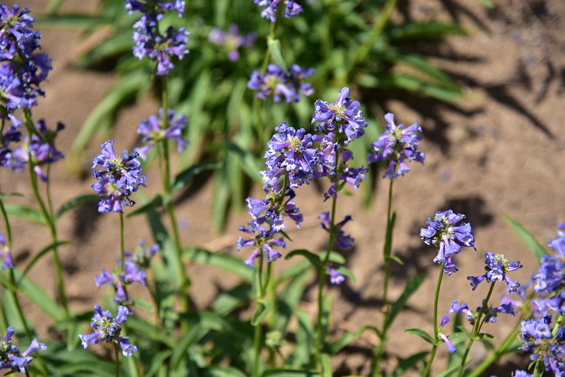
Penstemon:
Elephanthead:

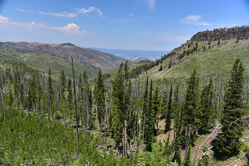
We had views to our left looking southwest:
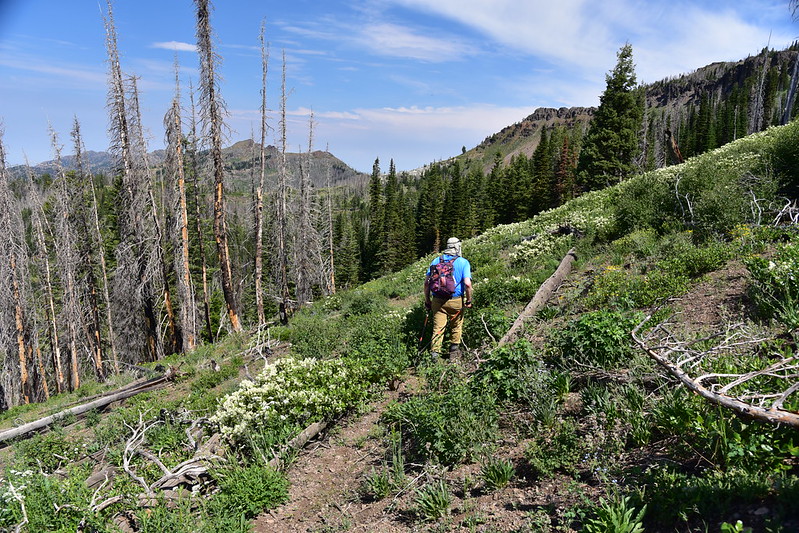
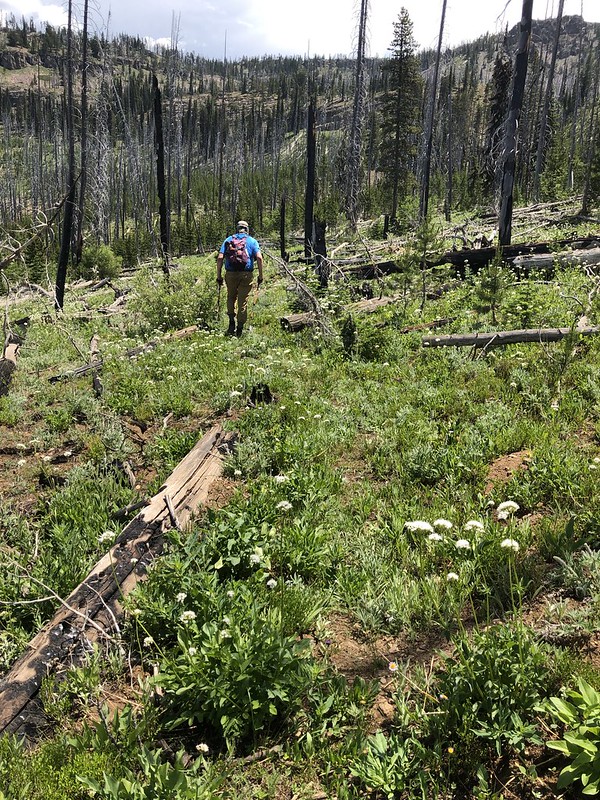
Continuing up the old road:

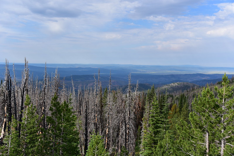
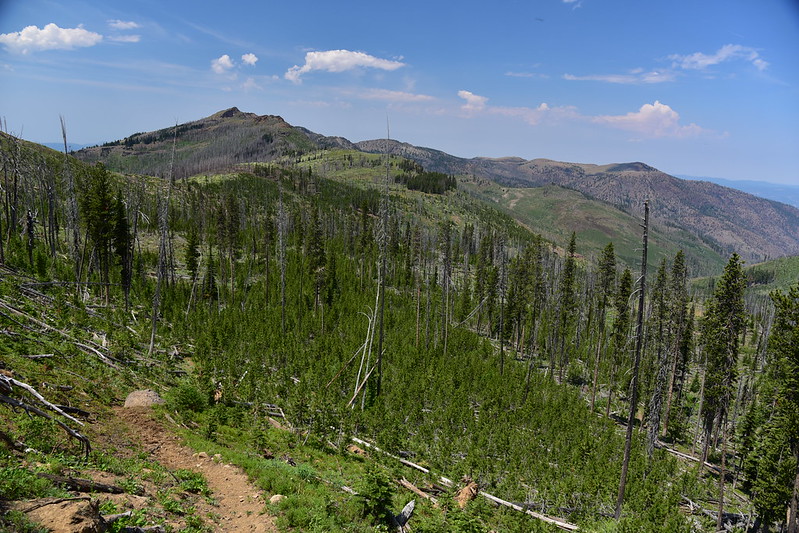
At 1.2 miles we reached the end of the road at an unsigned trail junction with a view down into the basin below. This area burned in the 2015 Canyon Creek Fire:

Above that basin on the right is Strawberry Mountain (photo taken in the afternoon on the hike back to the car):

We made a left and headed down the Pine Creek Trail:

We passed the junction where we would later complete our loop and continued down the Pine Creek Trail:


Wow, we saw a lot of phlox on this hike!

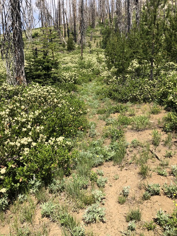
I don’t think this trail sees much use. The tread was pretty faint in spots:

At 2.4 miles the trail began a pretty steep descent down into Wildcat Basin:

We had to pass through an area of snowbrush, which is notorious for overtaking trails in burn areas. Fortunately the trail was easy to follow and wasn’t completely crowded by the brush:

There was some blowdown:

We saw some nice flax here:

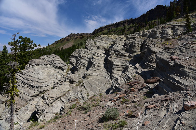
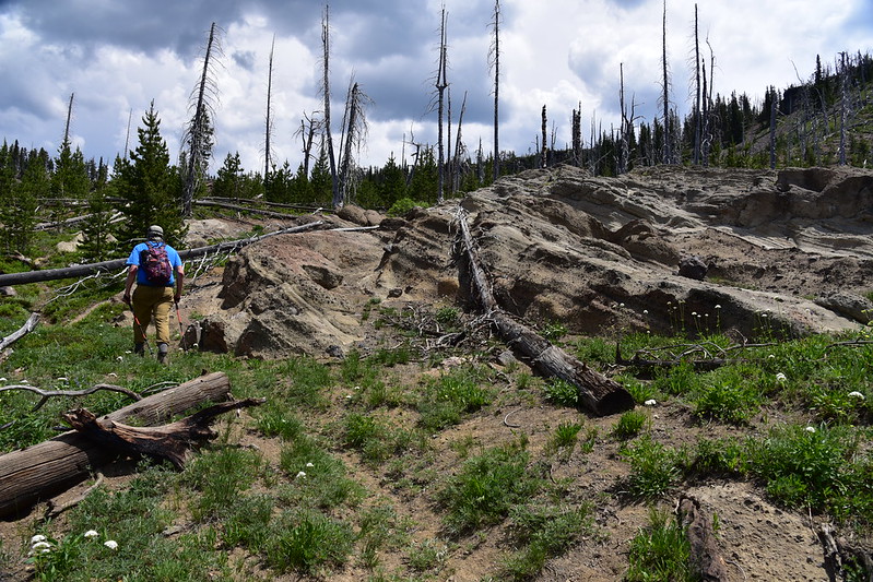
Shortly before reaching the basin we passed these neat formations at the 2.9 mile mark. 15 million years ago volcanic eruptions created thick deposits of ash across what is now eastern Oregon. Erosion and the passage of time have exposed some of these ash layers and they look really cool:


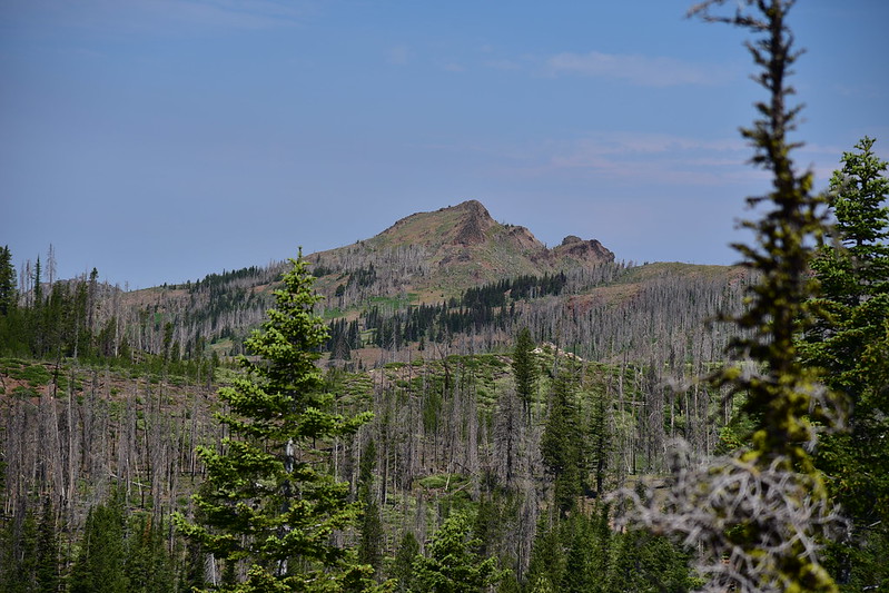
We could see Canyon Mountain from here:
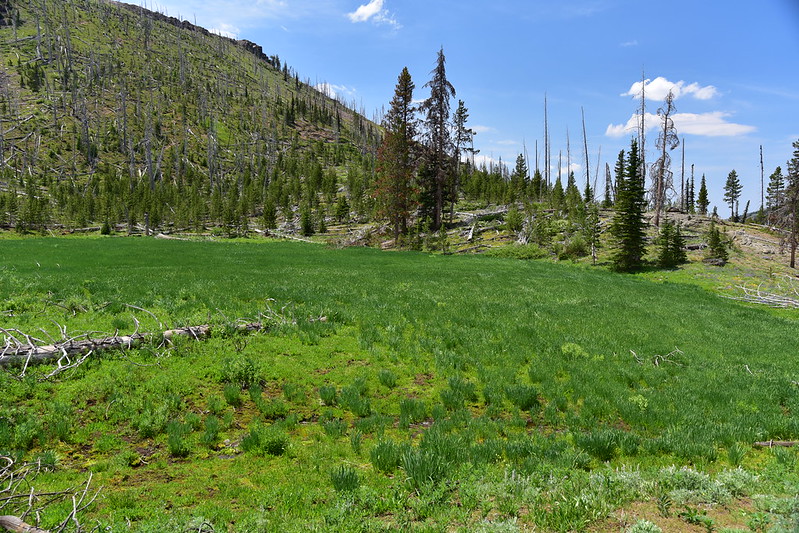
After taking a break we continued on, quickly reaching Wildcat Basin:

There is a little spring here, but it didn’t look like a reliable water source:

Someone left behind a tent and sleeping pad:

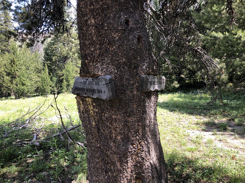
This is the junction with the Buckhorn Meadows Trail:
We continued on the Pine Creek Trail, hiking through the basin:


More blowdown:

Continuing across Wildcat Basin, with faint tread at times, but we never lost the trail:


We saw more wildflowers:

And more snowbrush:
That’s Strawberry Mountain in the distance, which we would hike in a few days:

At 4.1 miles we reached the unsigned junction with the Indian Creek Trail and turned right:

We stopped at a little creek to filter some water. During this process I spotted a tick crawling on the front of my shirt. Yikes!
We had been losing elevation for the entire hike and now we had to regain it, climbing up through a burn area in the hot sun:

Looking back the way we just came (Canyon Mountain on the left):
The trail was pretty faint in places:
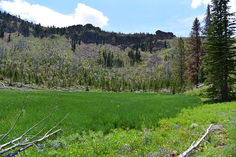
We reached this very lush and very green meadow/marsh:
More ancient ash formations like the one we saw earlier:
This whole stretch was a bit of a slog. The trail hasn’t been maintained in awhile so in addition to trudging uphill in the hot sun we also had to climb over about 20 fallen trees. We were very relieved to finally complete the loop where the Indian Creek Trail met back up with the Pine Creek Trail, then we returned to the Road’s End Trail (the old road) and hiked through the wildflowers back to our car:

As you can see from those photos above, clouds really started building up in the afternoon and we were hearing thunder by the time we got back to the car at 2:30. We stopped by Logan Valley on the drive out where we could see the storms all around us and the occasional flash of lightning:


It’s too bad this trail doesn’t see more maintenance. Even though it’s a bummer to lose elevation at the beginning and gain elevation at the end, this is still a beautiful hike. The abundance of wildflowers was pretty unexpected and delightful.
Gaia stats: 6.8 miles, 1,200′ elevation gain


