Wednesday, July 26, 2023
For the rest of our Mt. Rainier trip we were on the east side of the mountain and our first hike was Glacier Basin.
Yesterday was a travel and rest day. We left our campsite at Cougar Rock Campground and drove to Packwood where we had a hotel room for the night, did laundry, and ate food that we didn’t have to cook. This morning we headed to up the first-come first-serve White River Campground. I figured it wouldn’t be too difficult to grab a site on a Wednesday morning, but I was wrong. For one thing, the entire 28-site A loop is closed, set aside for NPS volunteers. Then there were at least a dozen sites closed due to hazard trees. We found a few sites that had been vacated that morning and picked one. It wasn’t the most private site, but beggars can’t be choosers. We were happy to have a site at all.
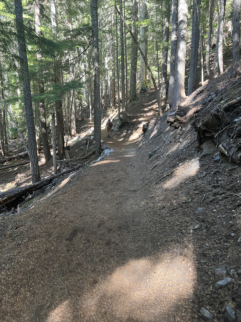
Today’s hike started right from the campground, so after we got settled in we started up the Glacier Basin Trail:

No dogs or bikes allowed on this trail, and amazingly we saw neither:

Coralroot:

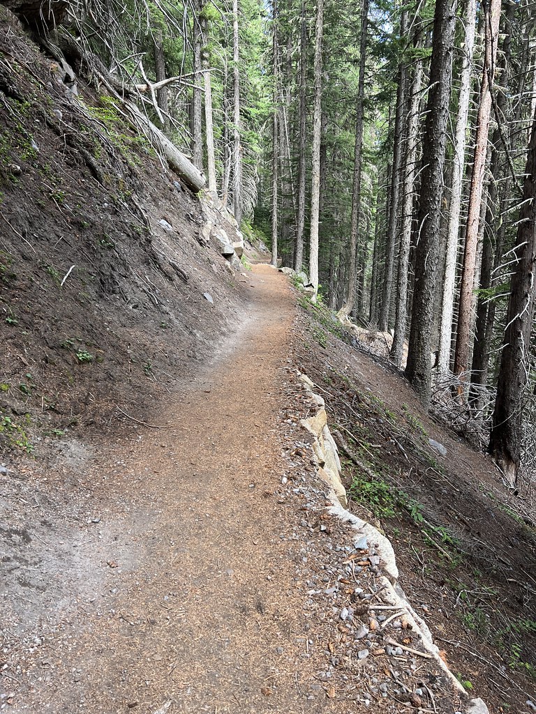
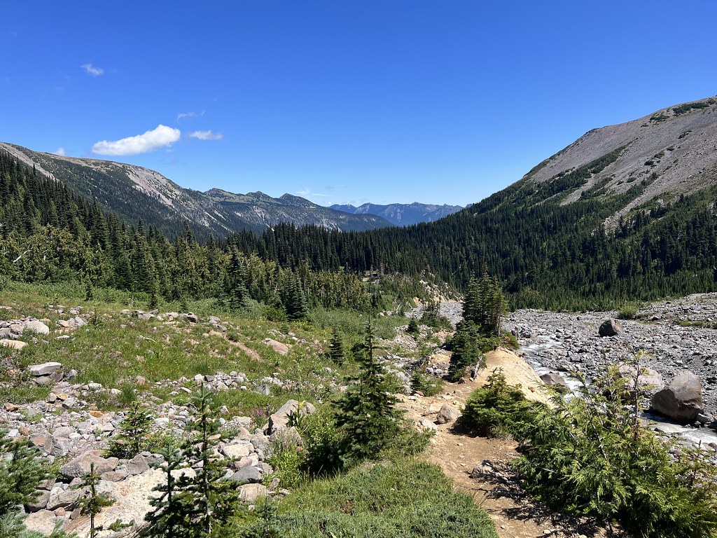
The trail follows the route of an old mining road:
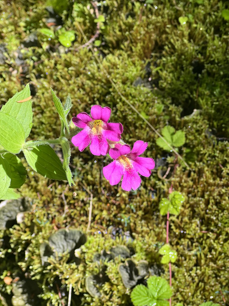
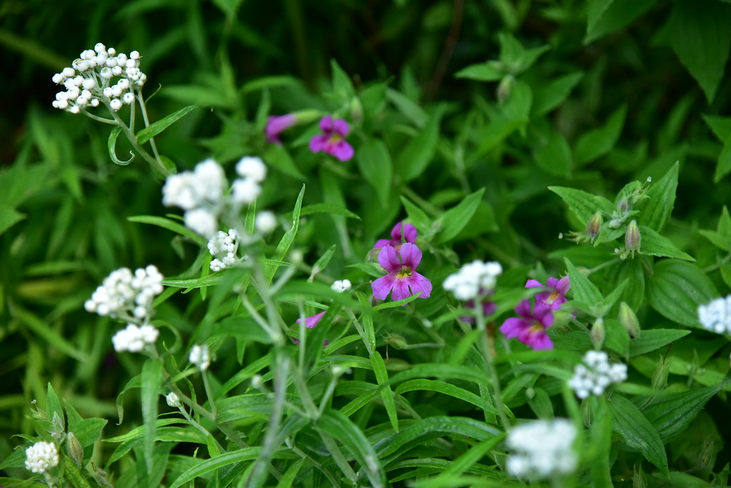
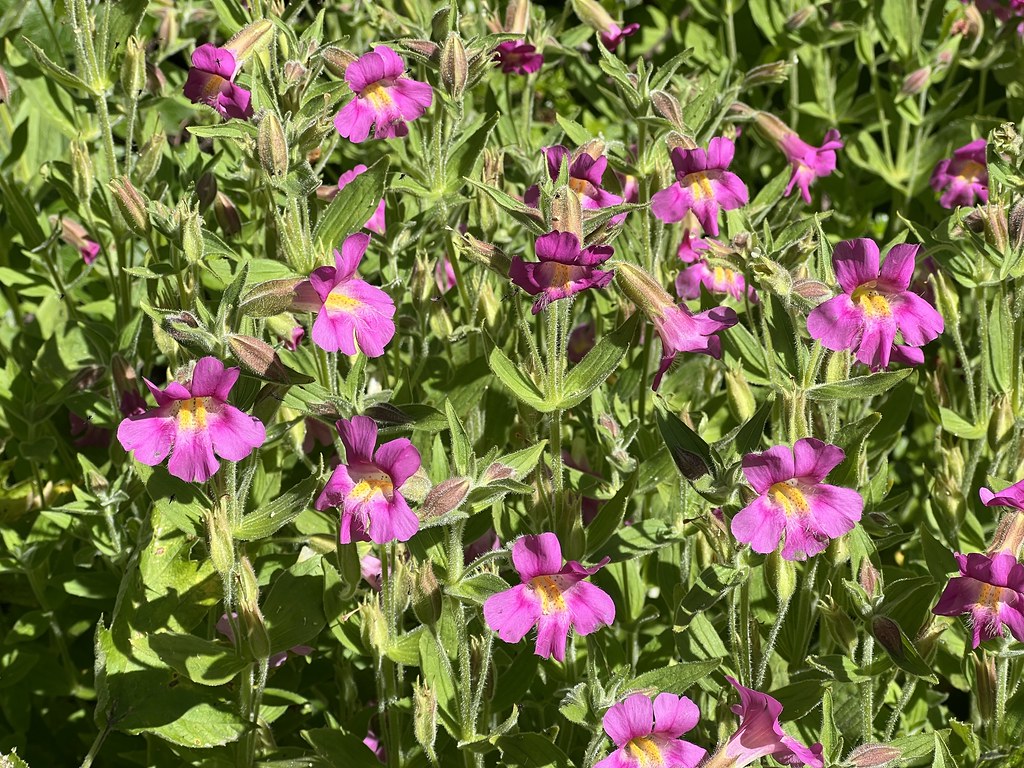
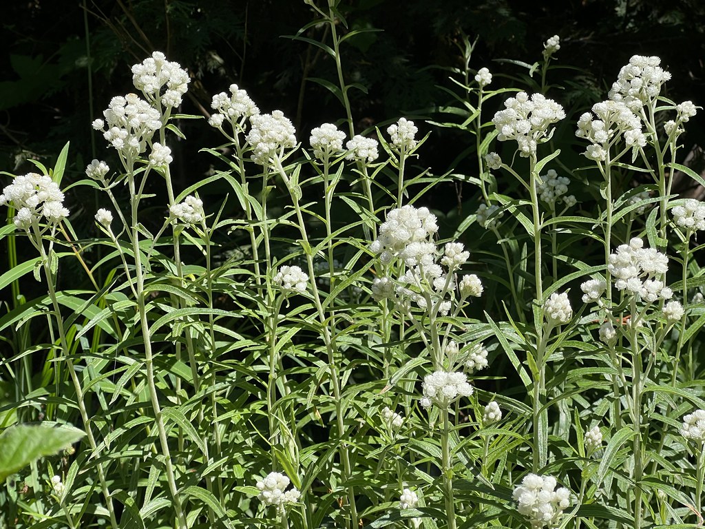
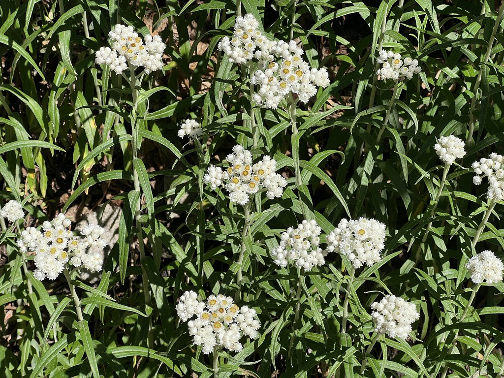
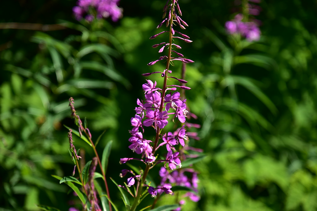
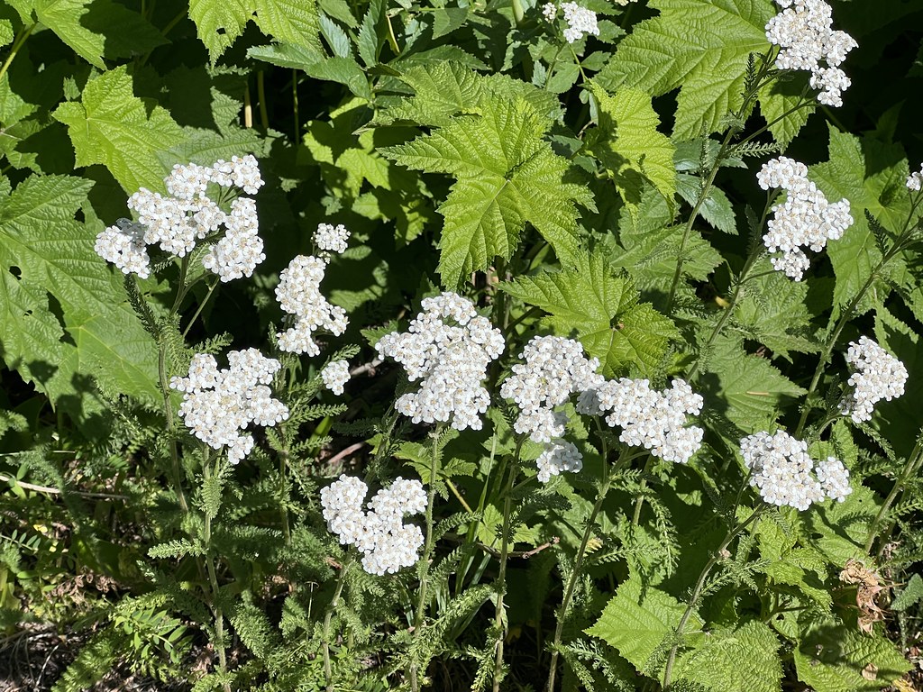
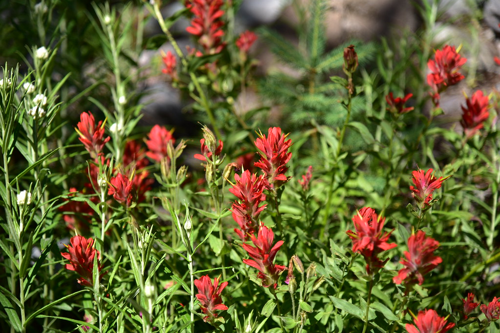
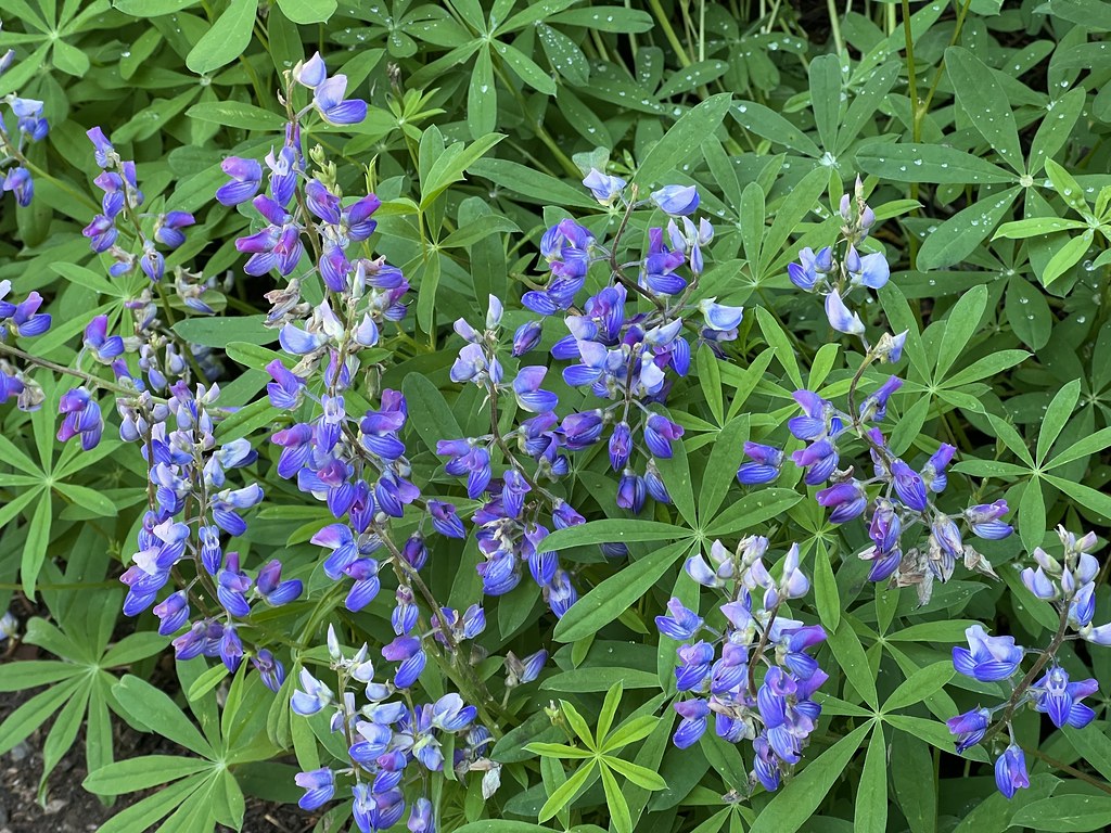
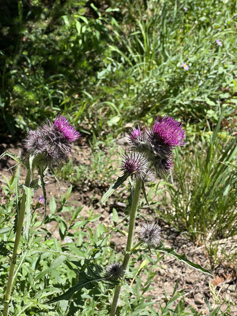
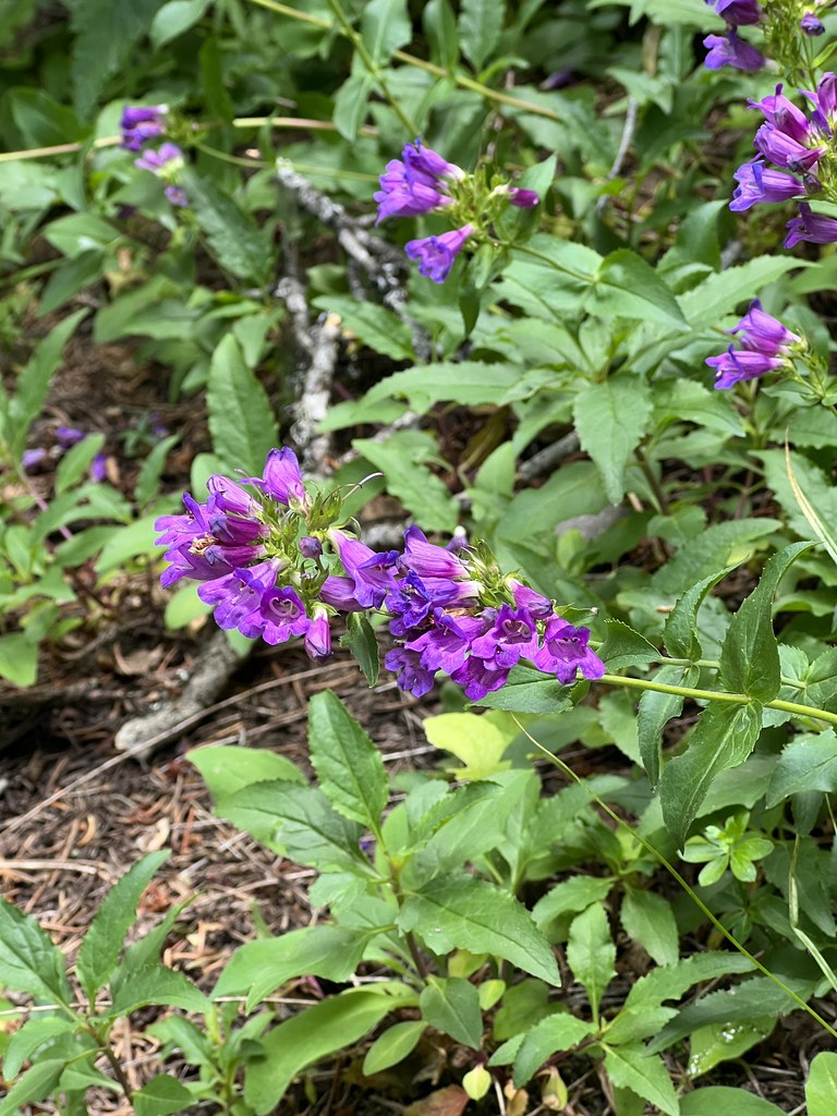
It wasn’t long before we started seeing an abundance of wildflowers, including LOTS of monkeyflower:
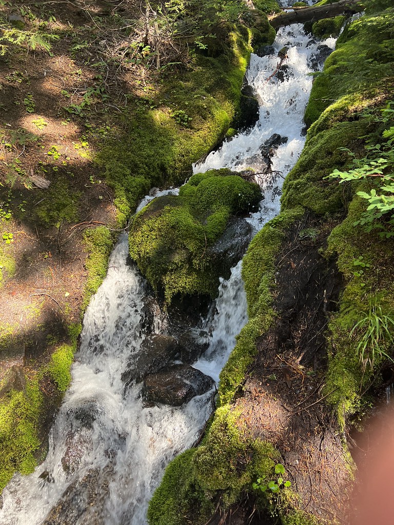
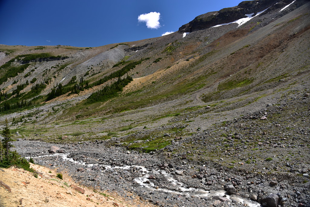
We crossed several splashing side streams:
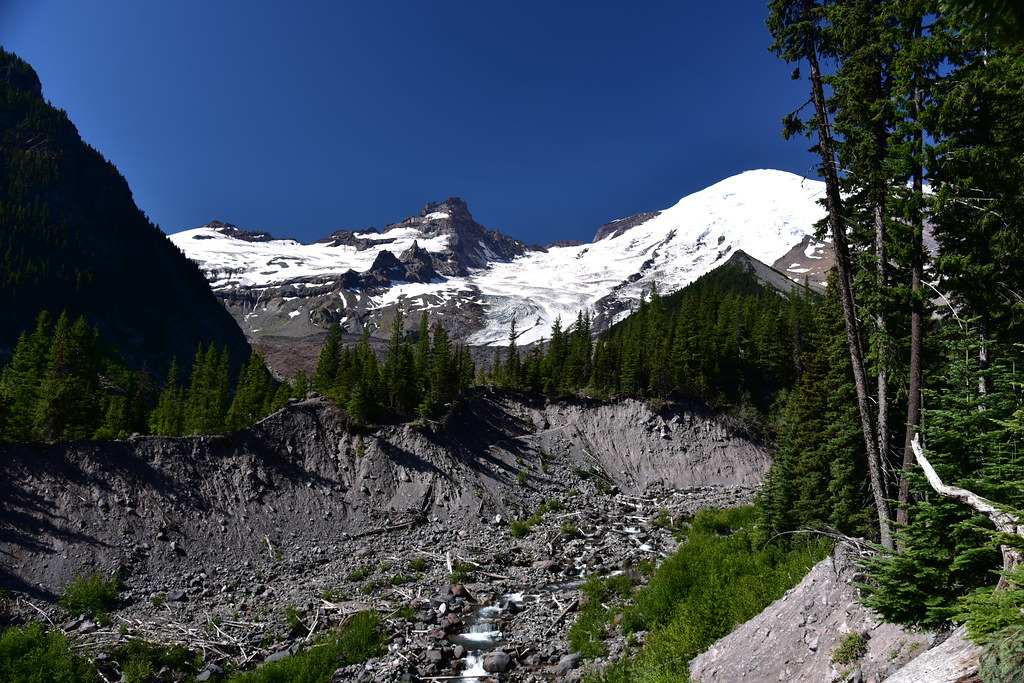
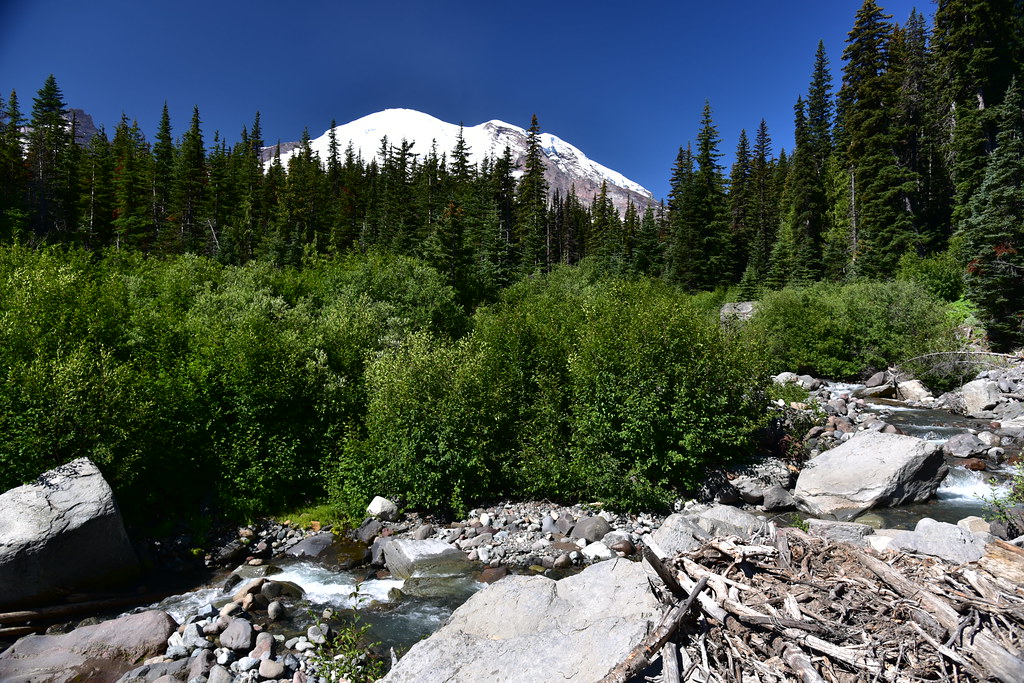
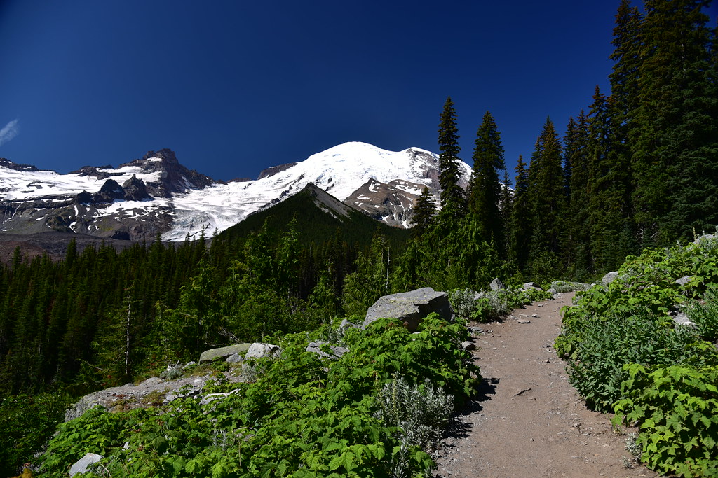
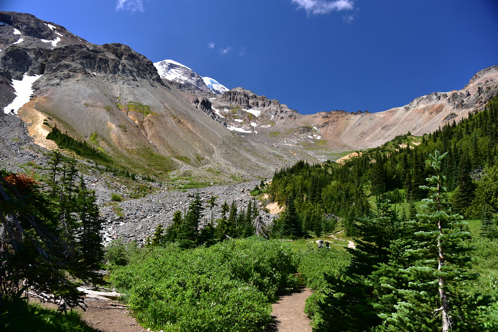
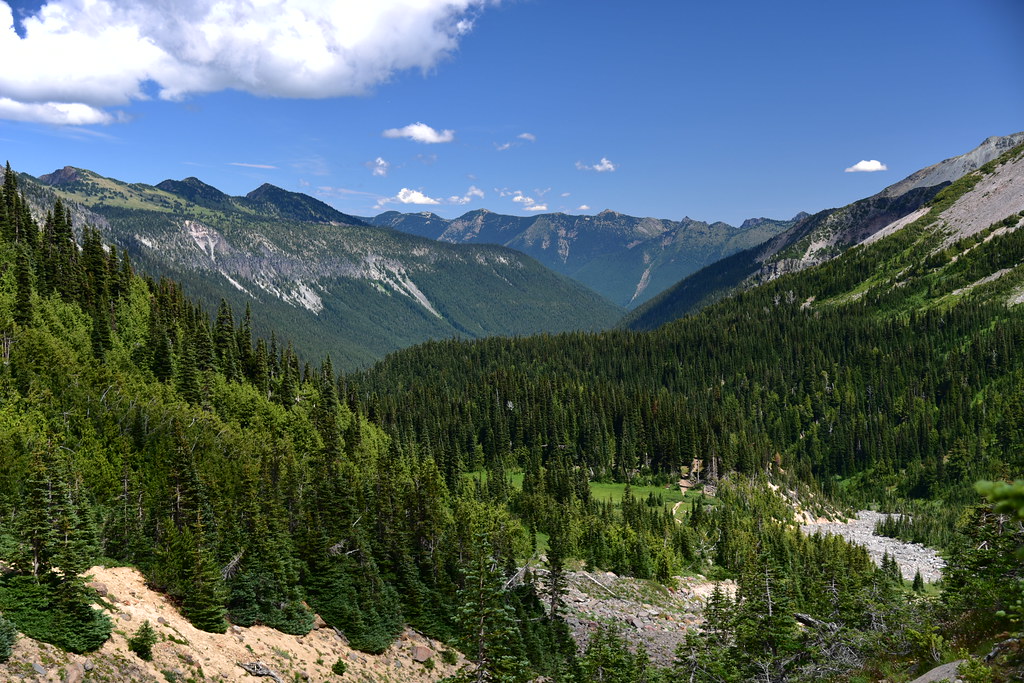
A view of Mt. Rainier ahead of us. You can see the scoured river channel of the Inter fork below. In fact this trail was damaged badly by floods in 2006 and didn’t reopen until 2011:
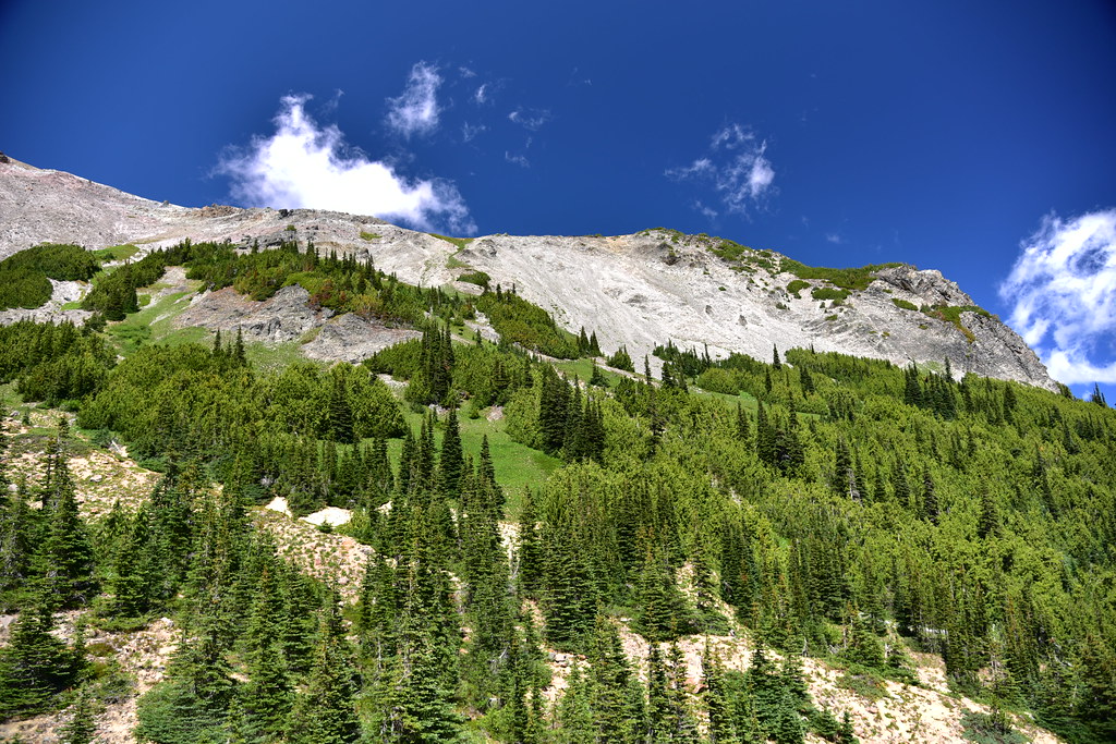
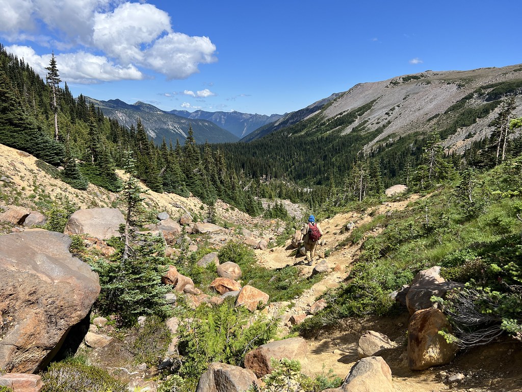
The trail went in and out of the trees:

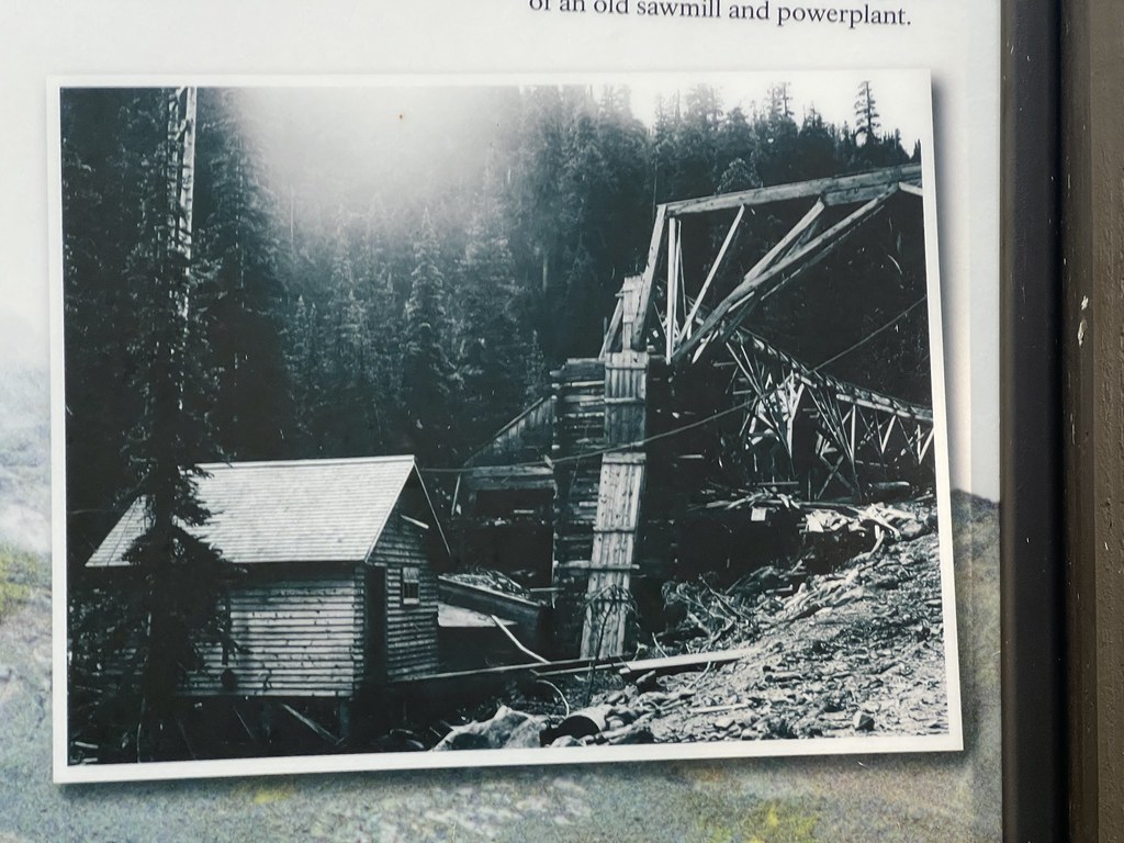
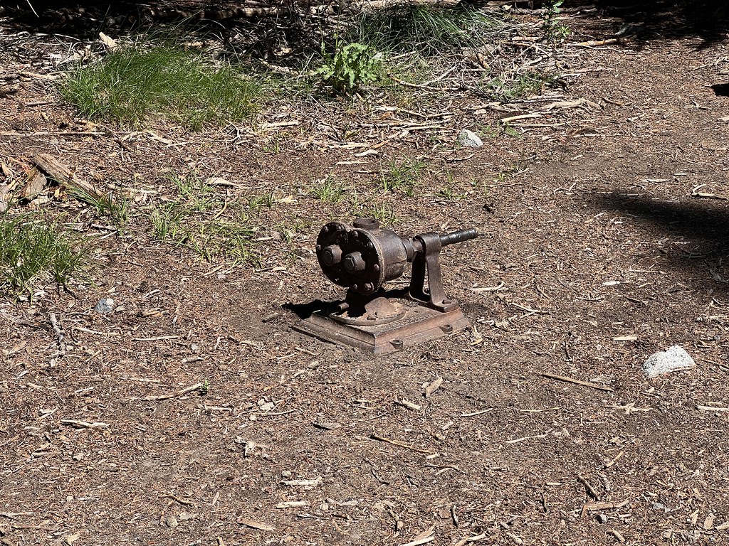
There was a sign at the trailhead that stated “The trail follows the path of an old wagon road used in the late 1800s and early 1900s to mine copper in the valley. The mine never produced much ore, and mining efforts were eventually abandoned. Remnants of these efforts remain, including parts of an old sawmill and powerplant.” The sign included this historic photo:
We across those old remnants not long before reaching Glacier Basin:
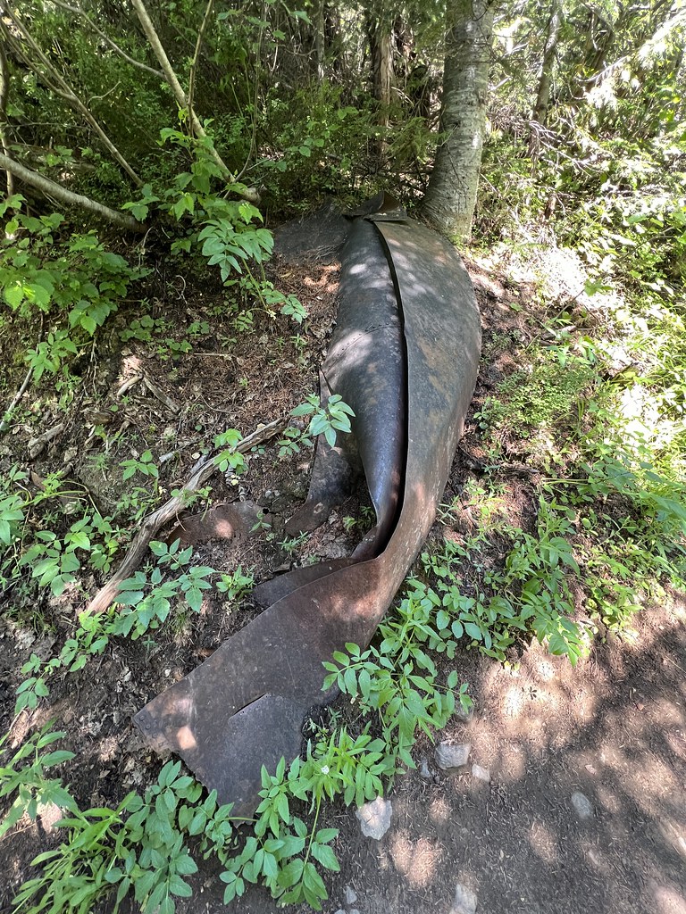
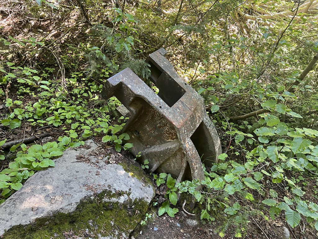
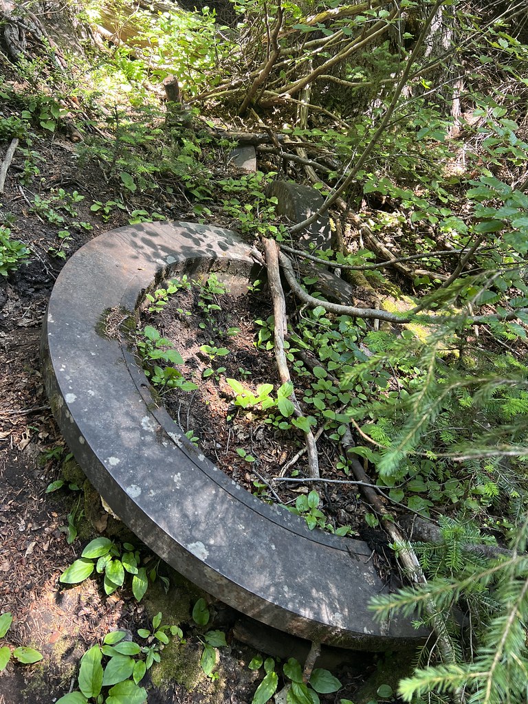
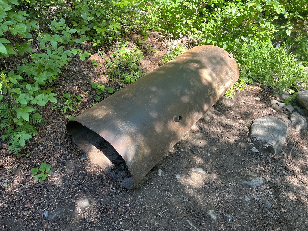
When we reached the designated camping area at the edge of Glacier Basin we saw another remnant:
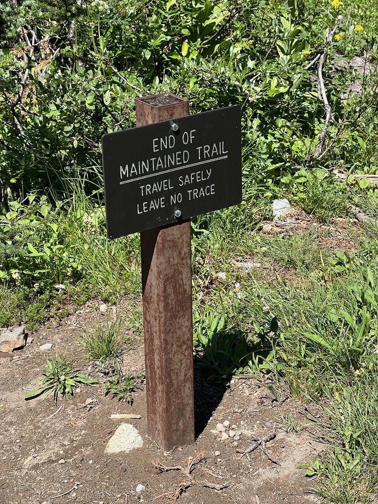
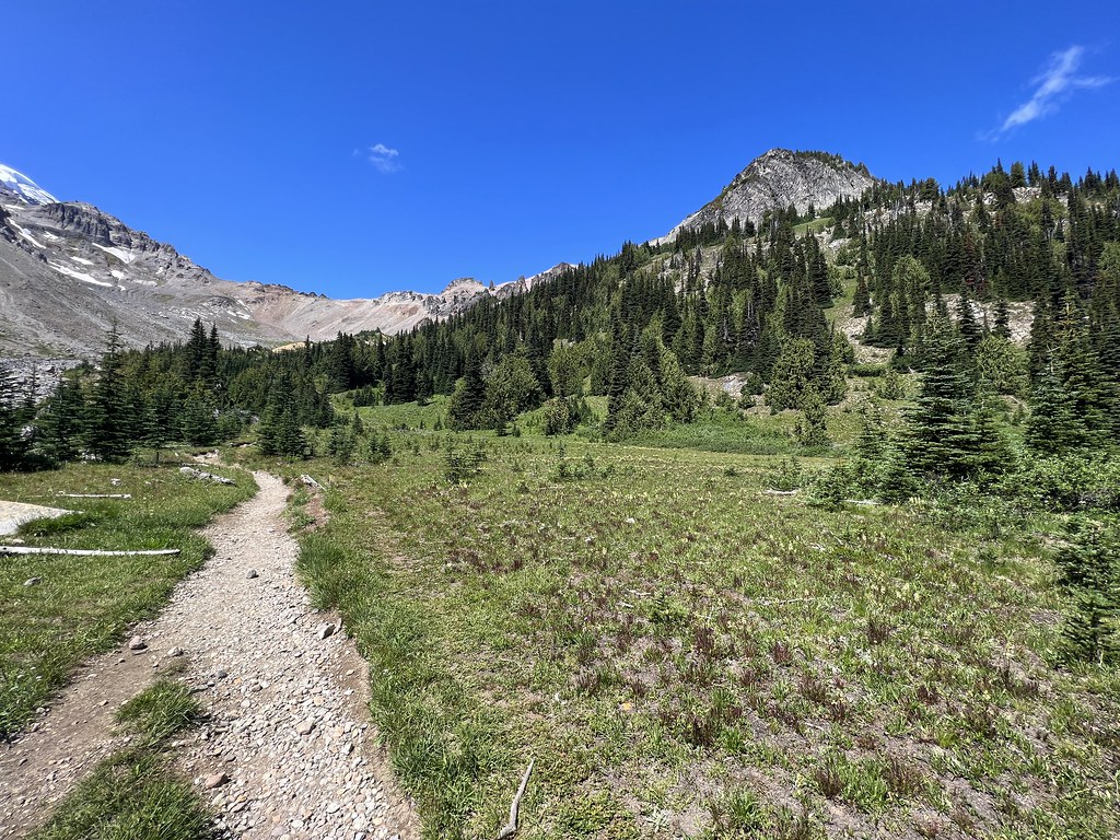
The official trail ends here, but a user trail continues:
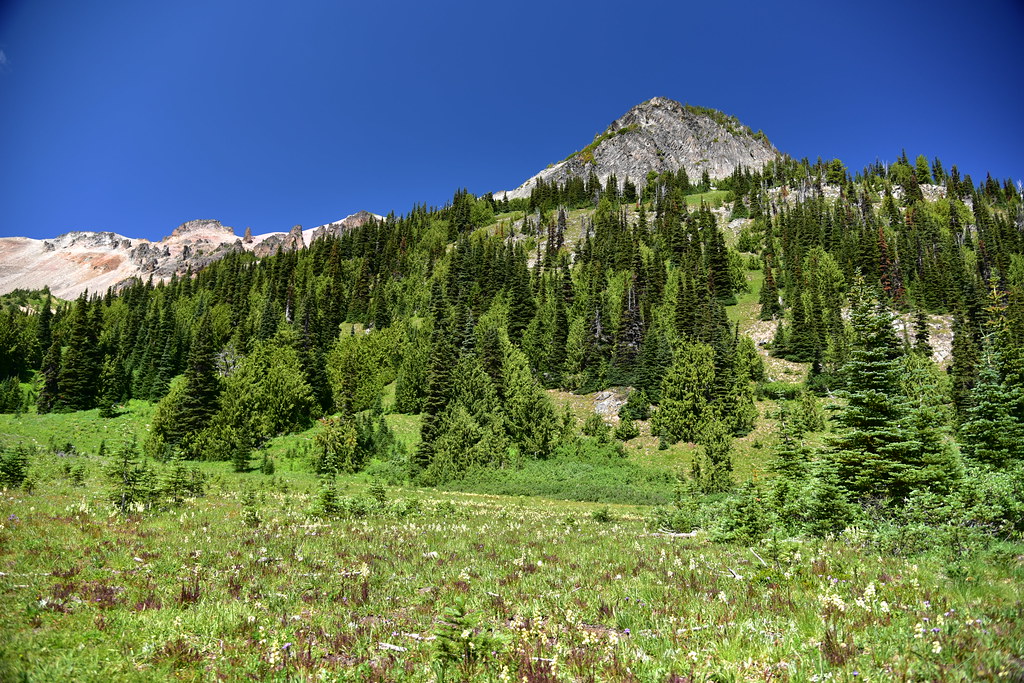
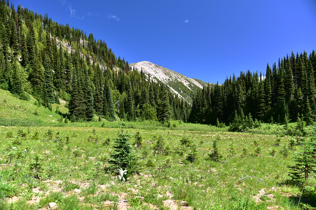
Glacier Basin:
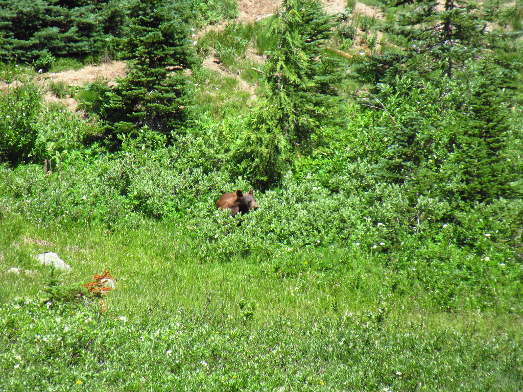
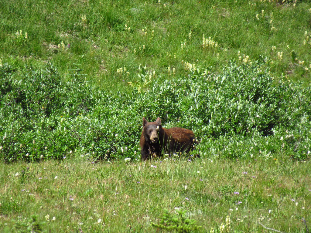
There were some hikers standing on the trail looking across the meadow with binoculars. There was a mama bear and cubs over there, although we could only see mama:
After watching the bear we continued further up the user trail:
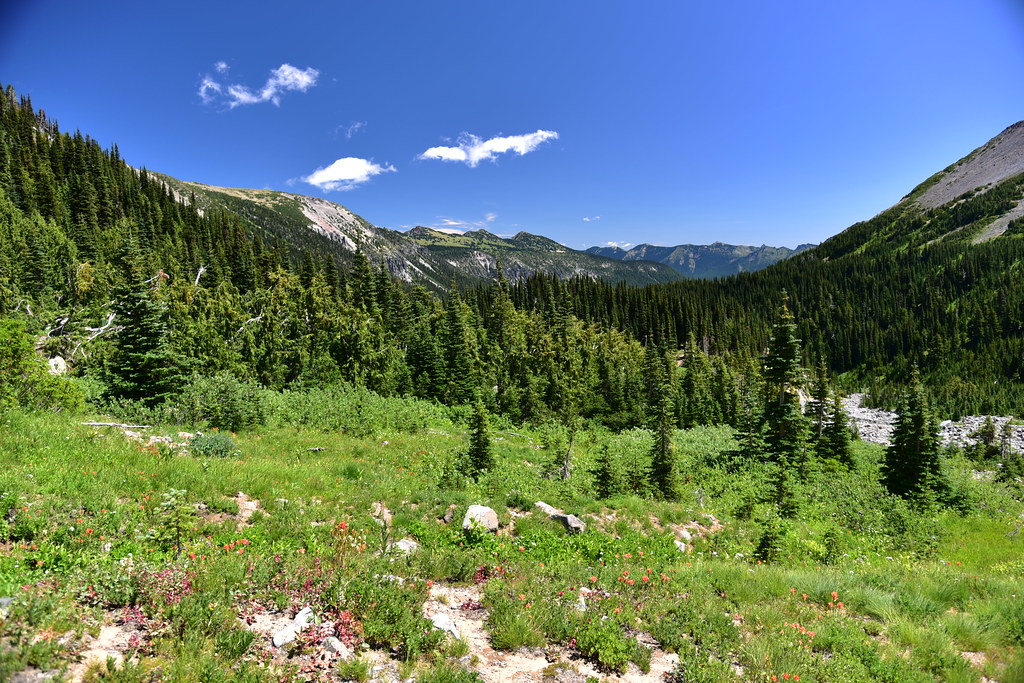
Looking back across the meadow:
We climbed uphill for a short distance. Looking behind us, the meadow out of sight behind the trees:
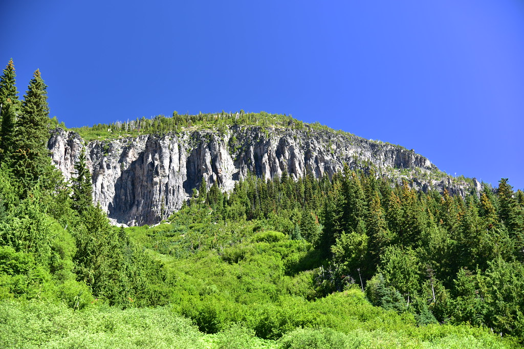
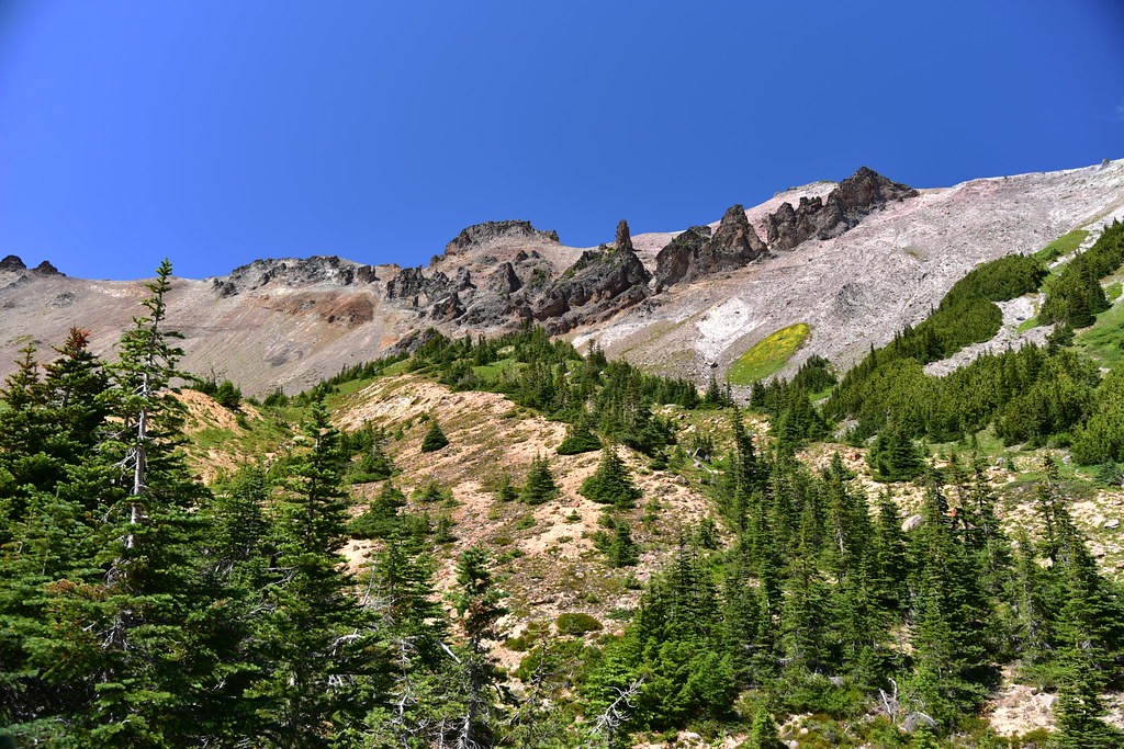
Looking up at the canyon walls above:
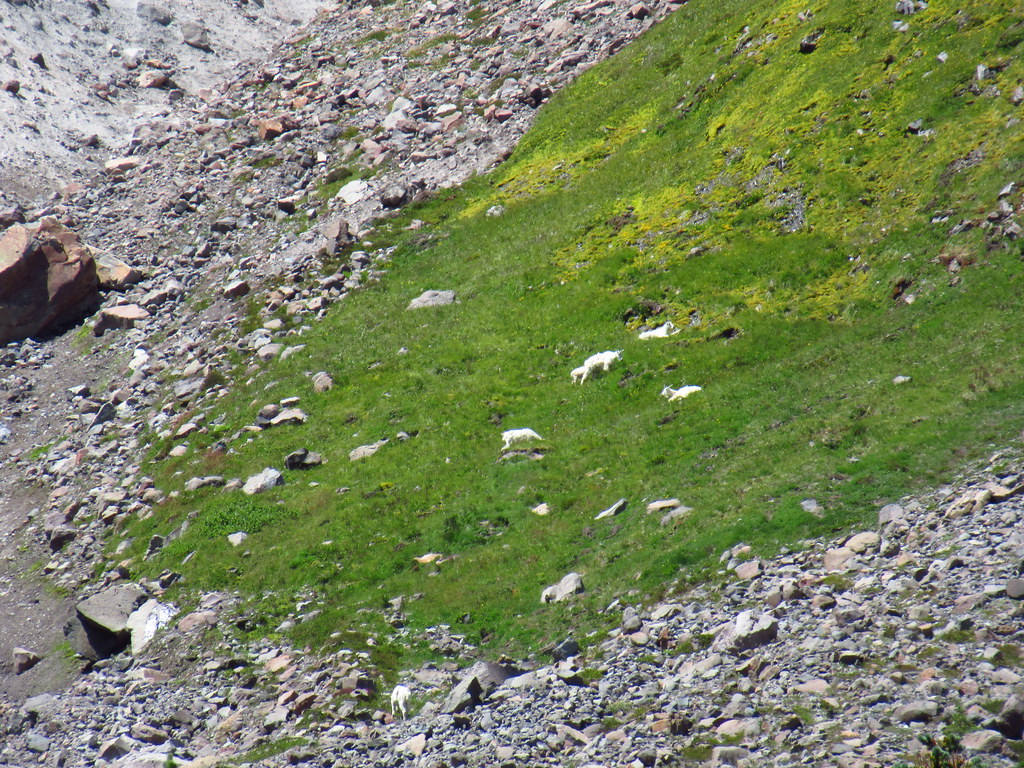
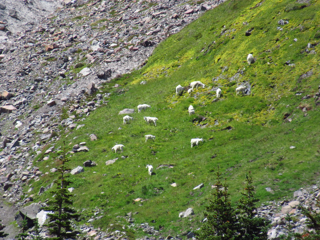
We spotted a distant herd of mountain goats on that circular green patch on the hillside:
Zoomed-in shots:
We were high enough now that we could see the meadow below where the bear had been:
We sat above the river for awhile taking a break:
Heading back down:

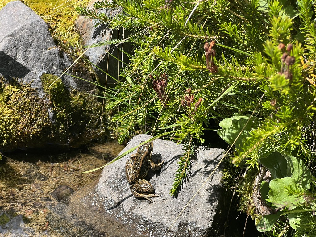
Hello frog!
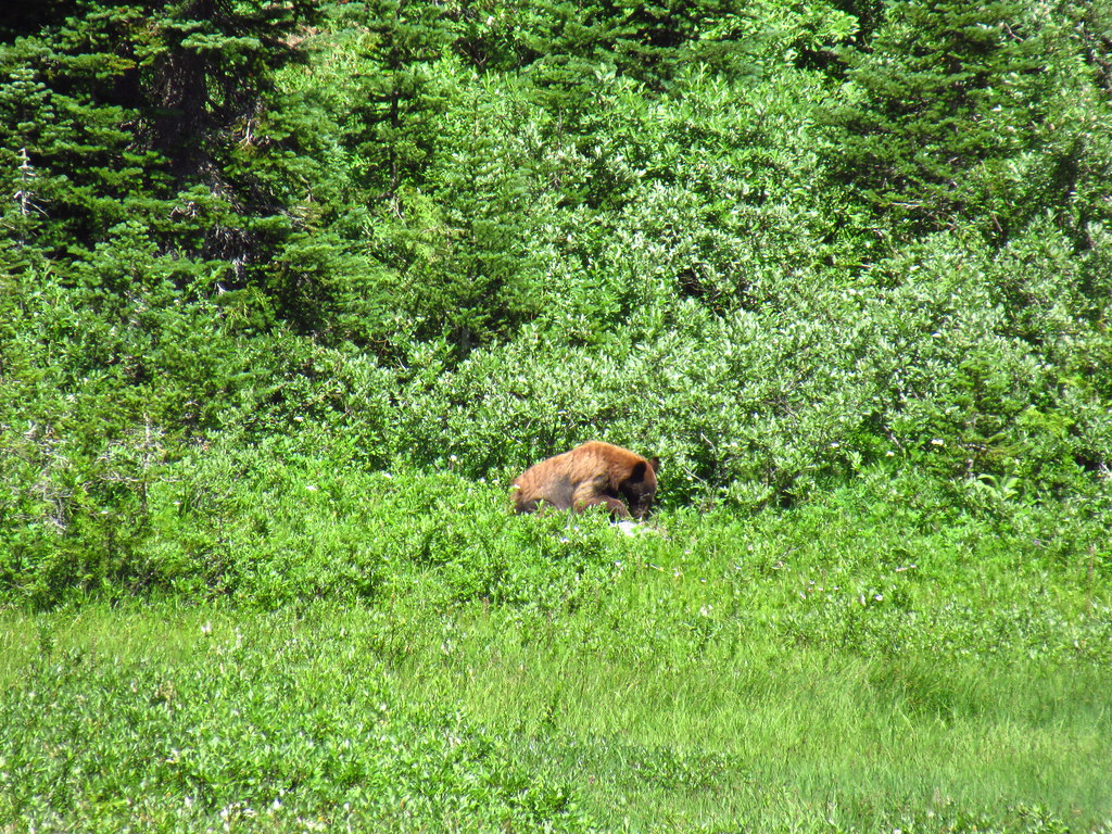
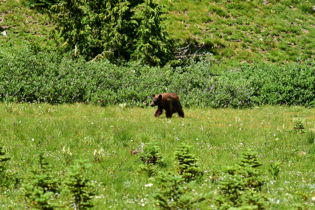
Traversing back across the meadow we saw the bear again:
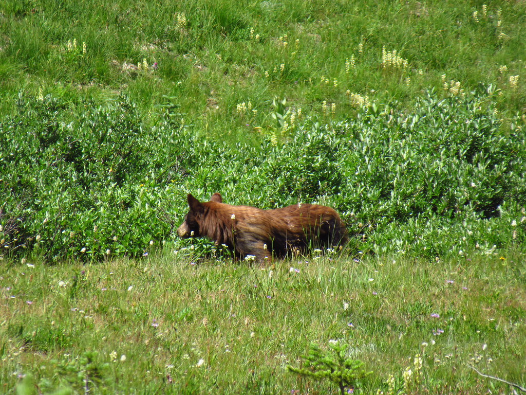
Then it started crossing the meadow toward the river. We made sure to stay far enough back on the trail be out of her way:
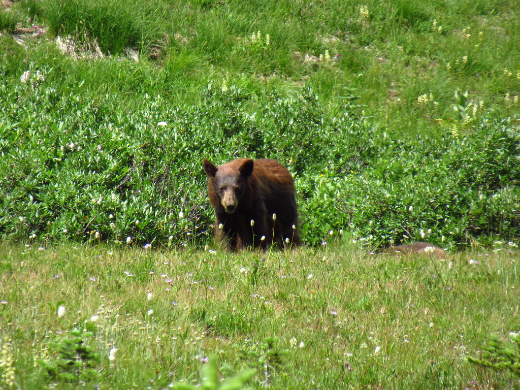
We were delighted to see the two cubs appear and follow along behind:
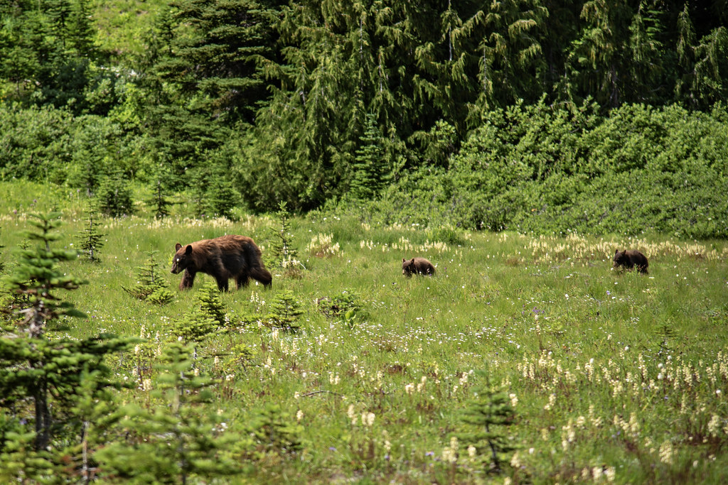
The bears crossed the trail and disappeared down the bank to the river. Awesome! We were close enough to have a good view but far enough away to give them their space. Pretty cool!
Gaia stats: 6.7 miles, 1,750′ elevation gain


