Sunday, July 25 – Wednesday, July 28, 2021
For our July vacation this year we had planned to go backpacking in the Eagle Cap Wilderness but instead headed to the Olympic Mountains.
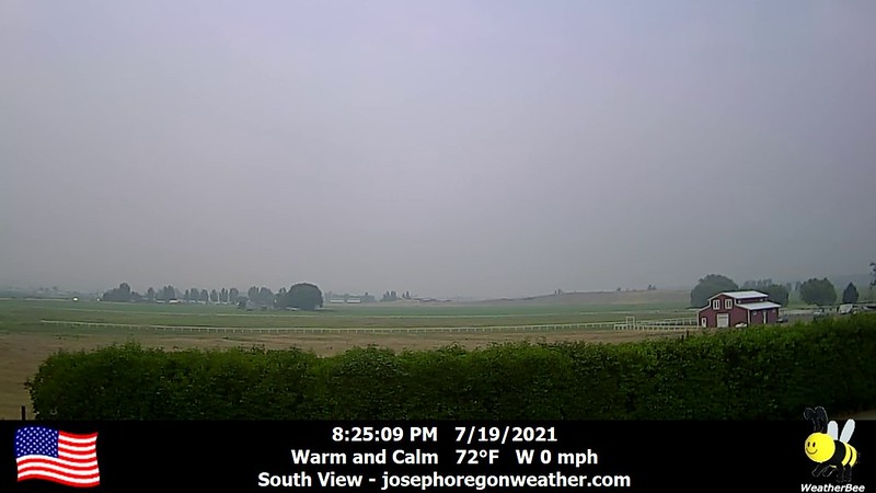
The west is experiencing a bad drought and fire season this year. Although Portland was spared smoky skies throughout July, most of the eastern side of the state was not. The smoke maps looked bleak, and here is how the Joseph webcam looked on July 19:
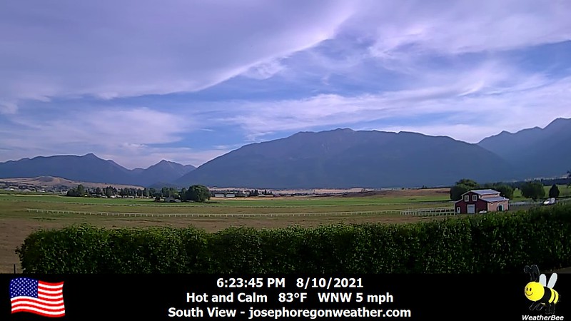
Here is how that view looks on a non-smoky day:
Hiking under brown hazy skies was something we wanted to avoid, which meant we also had to throw out our backup plans in Idaho and Montana, where the skies were even smokier. We decided to head north to the Olympic Mountains. Most of the Olympics is included in the national park, which meant we needed backpacking permits. All the places in the park we wanted to backpack had no available permits, so we chose the Buckhorn Wilderness outside the park in the Olympic National Forest.
We drove up on Saturday and found a roadside campsite not far from the trailhead. While eating dinner we were visited by a grouse mama and her four babies, who spent 45 minutes around the edge of our campsite eating their dinner. So great!


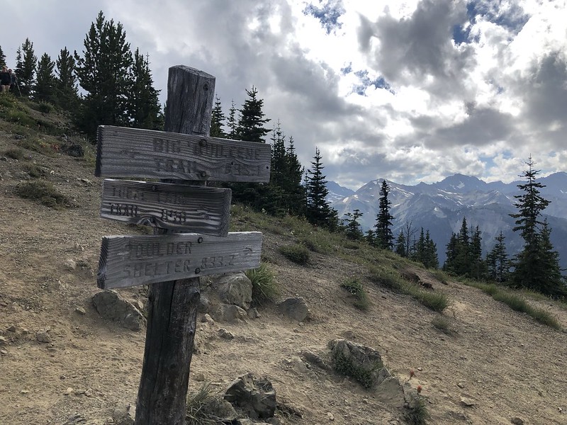
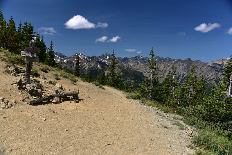
Day 1: Big Quilcene Trail to Boulder Camp
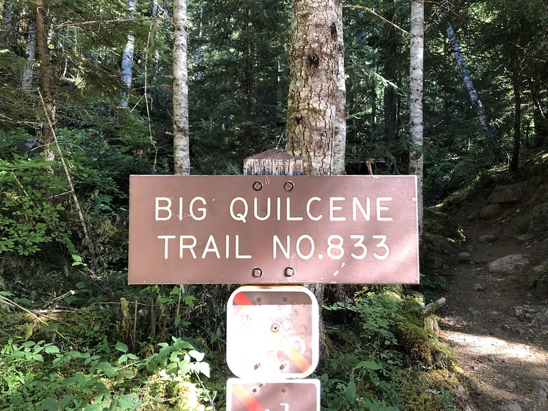
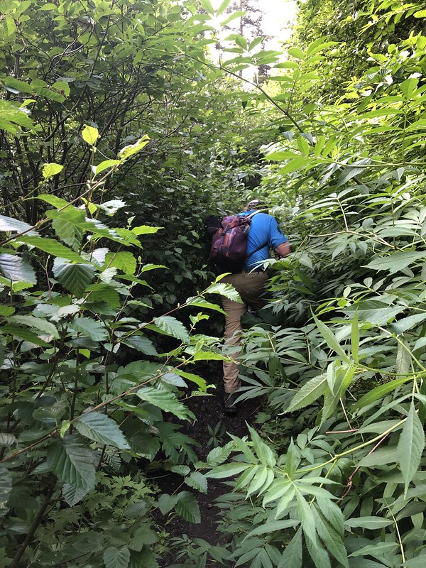
We packed up our car camping site and headed to the trailhead. Since this was a Sunday we were not surprised to find more than 50 cars parked there when we arrived at 8:50. Greg finished getting his gear together while I waited and we finally hit the trail at 9:35. Our packs weighed 40 pounds each. Oof.
We quickly entered the Buckhorn Wilderness:

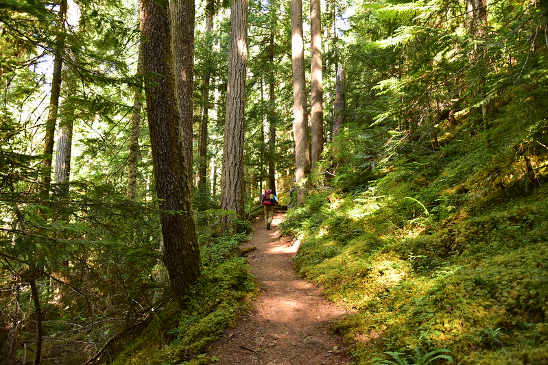
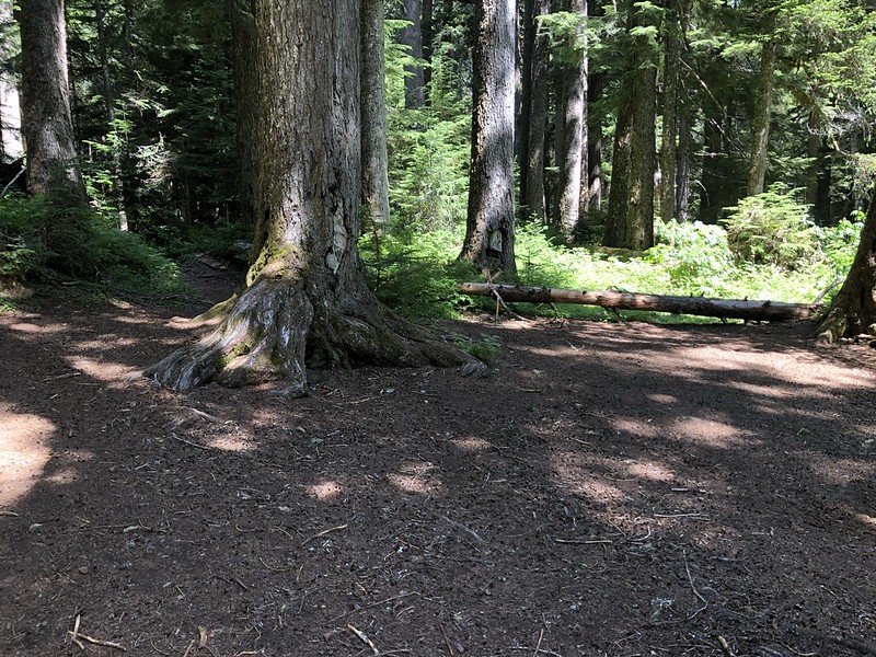
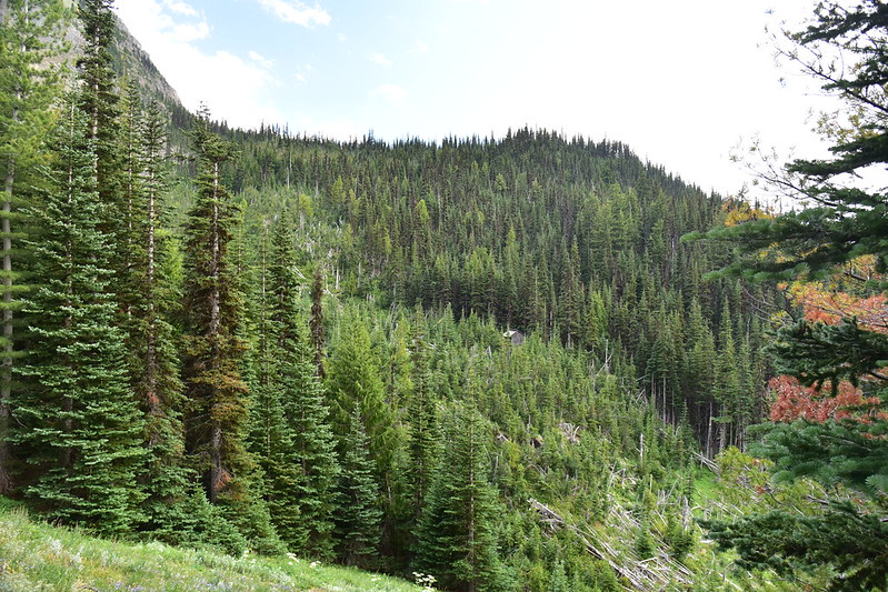
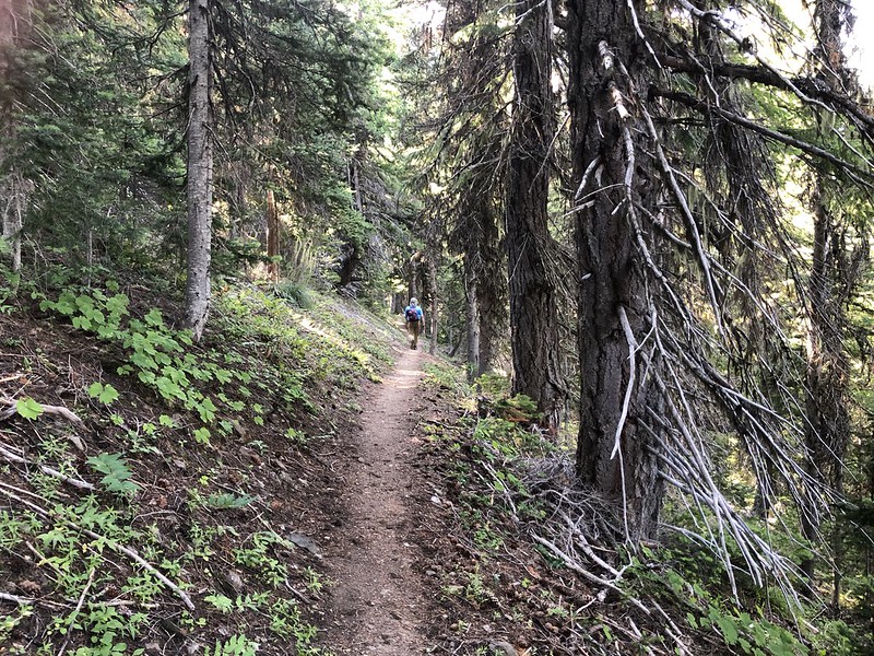
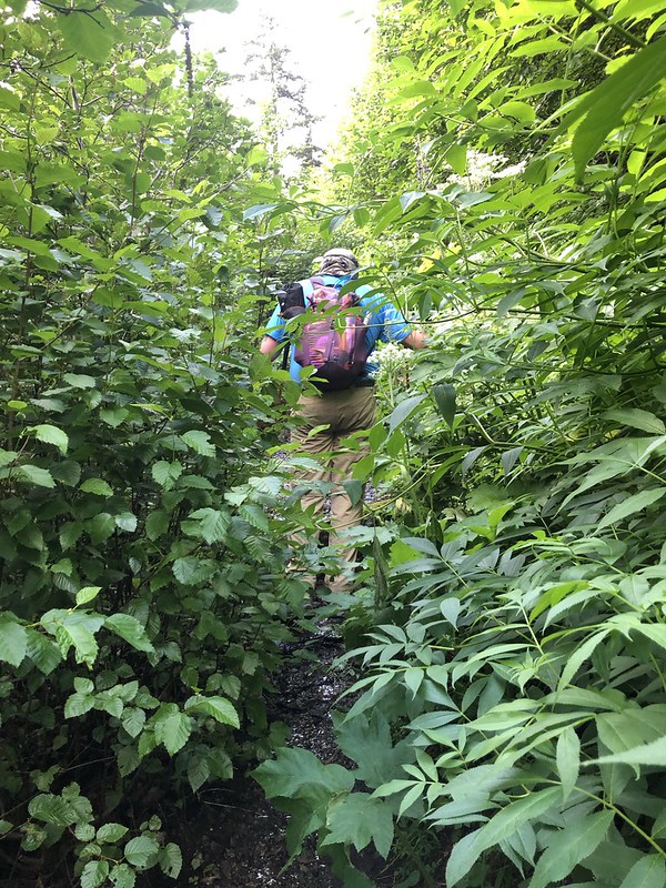
The Big Quilcene Trail is pretty much in the trees for most of the way to Marmot Pass:

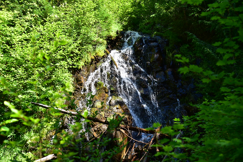
At 1.8 miles we took a break at this waterfall which is not on the map. Greg didn’t tell me until later that he was feeling light-headed at this point and was having trouble forcing himself to continue:
We had already passed quite a few backpackers heading down and I finally asked one of them “Did all of you camp at Marmot Pass last night?” He said yeah, pretty much. Wow.
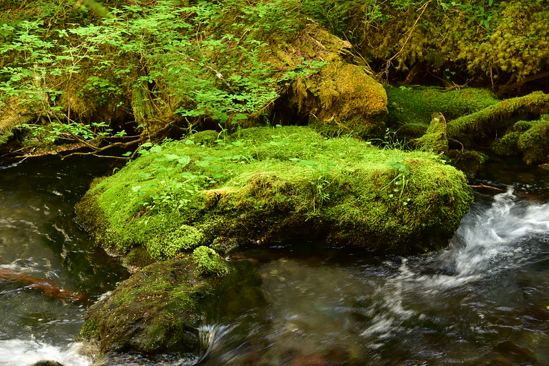
At 2.2 miles we crossed another nice creek:

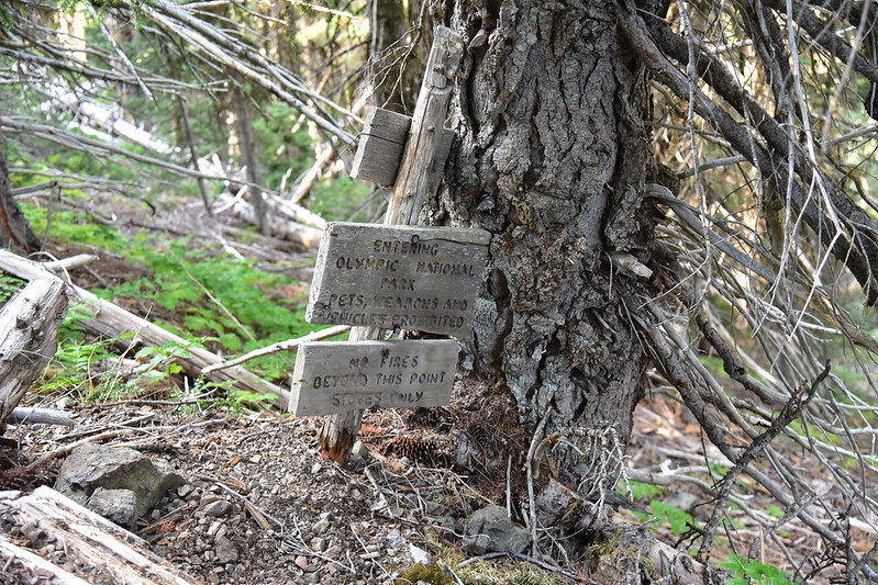
At 2.8 miles we passed this “stoves only” sign. Campfires aren’t allowed above 3,500′ which I think is fantastic:

Greg needed another break, so we stopped at this nice riverside spot for awhile:


At 3.2 miles we passed Shelter Rock Camp:
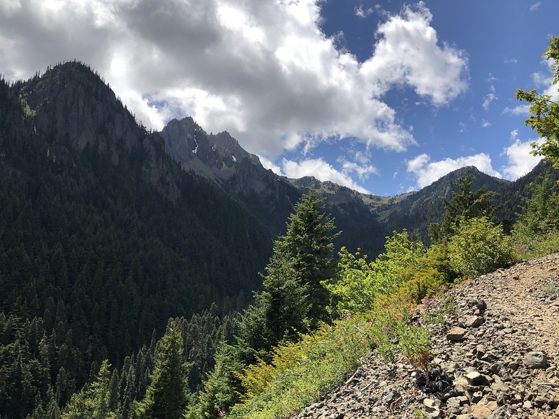
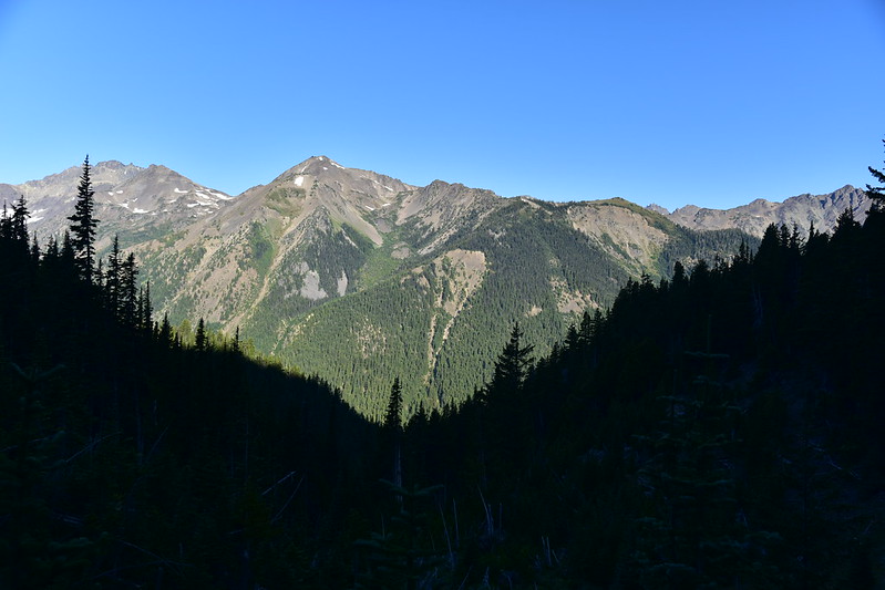
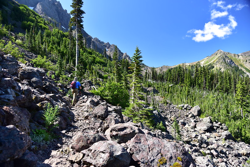
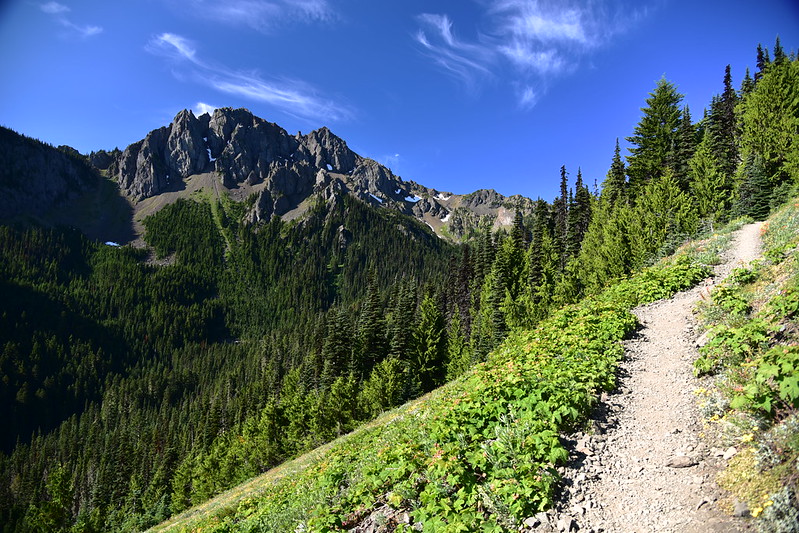
At 4.3 miles we traversed an open slope where we started to get some views:

Just before Mystery Camp we crossed a nice little creek:
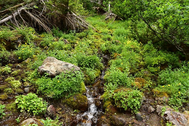
The water flowing through the camp was a different creek, flowing from a spring. It’s the last water source before Marmot Pass and is quite lovely. We stopped here to filter water. Gaia said we had gone 5.4 miles, which I think was a little inaccurate:

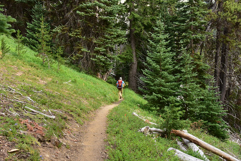
After the camp the trail traveled through a lovely meadow:

Then it began switchbacking up.

We had a view down to that meadow:

A pollinating bee busy at work on the lupine:


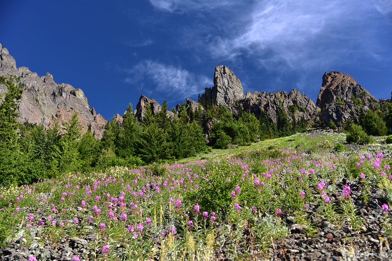
Just before Marmot Pass the trail curves around the edge of this big meadow. There are a lot of campsites in the trees here, which is where a lot of those people were camped last night. I hated to think that some people probably camped on the meadow itself:

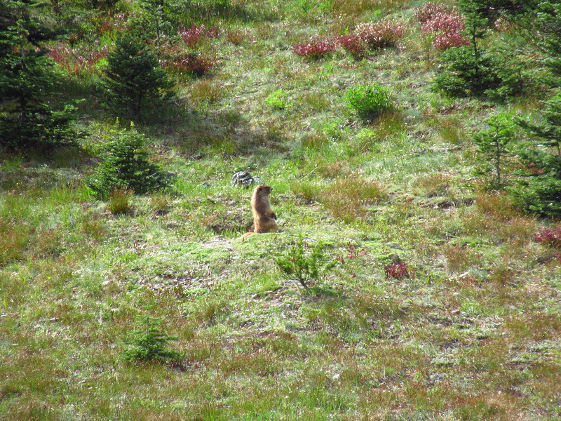
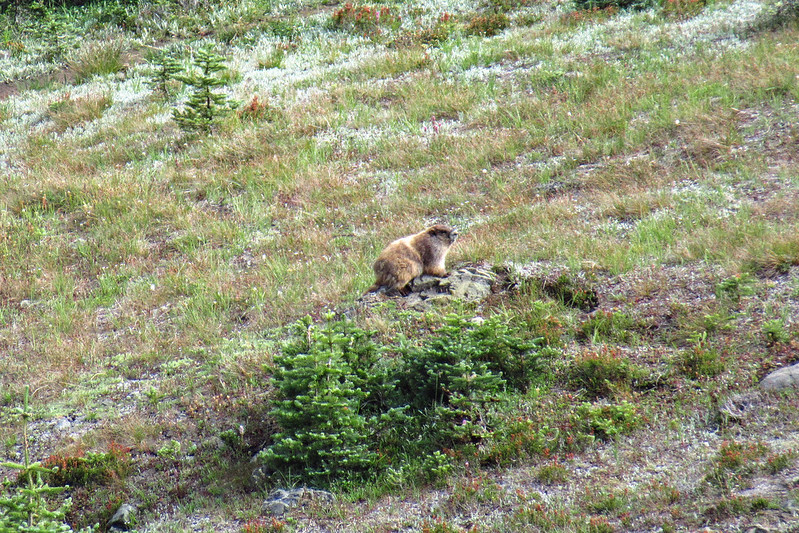
True to name, we saw a marmot here:
At this point we had seen at least 100 hikers heading down over the course of the day. I FINALLY reached Marmot Pass after 6.2 miles (according to Gaia) and seven hours, at 4:20. Greg arrived 10 minutes later:

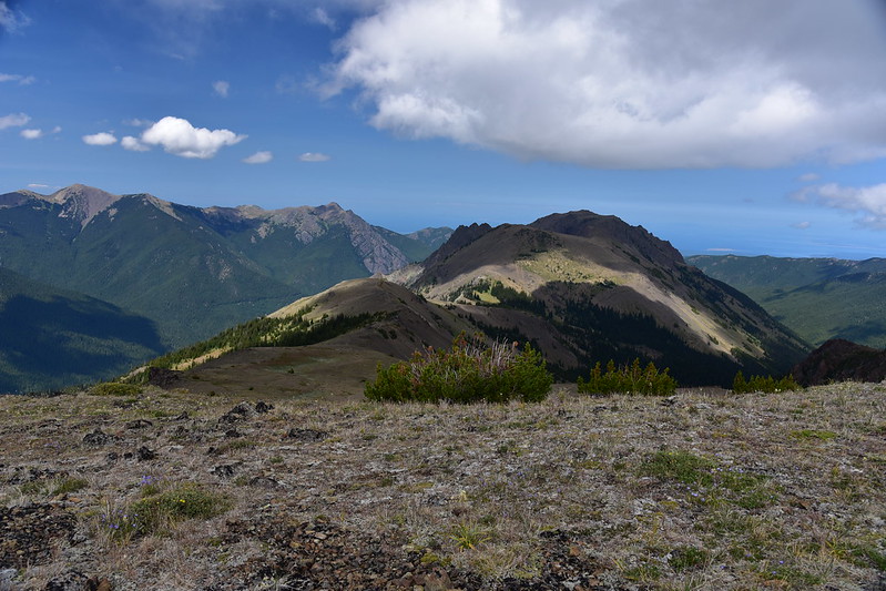
Looking down on the meadow just below the pass. This place was probably a zoo last night:

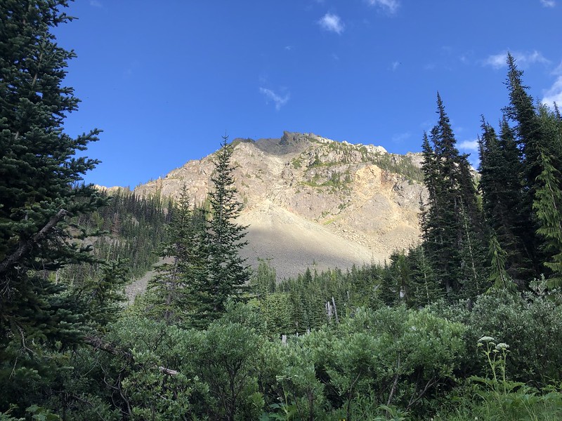
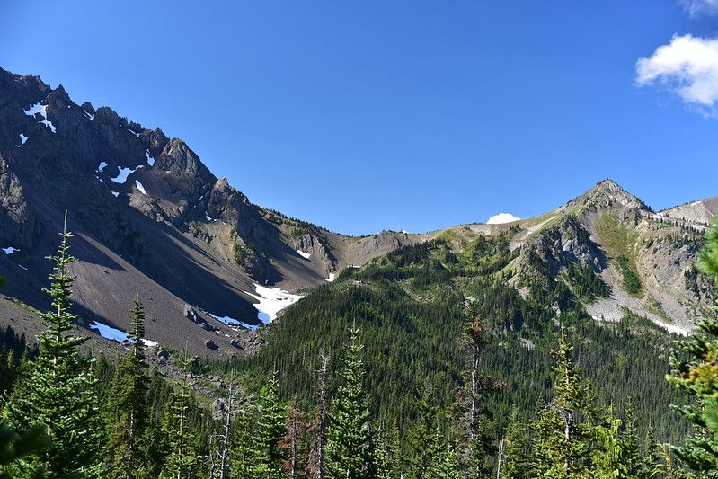
Buckhorn Mountain, which we would be hiking up in a few days:

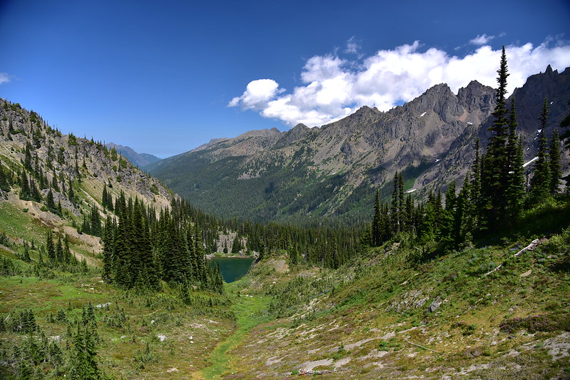
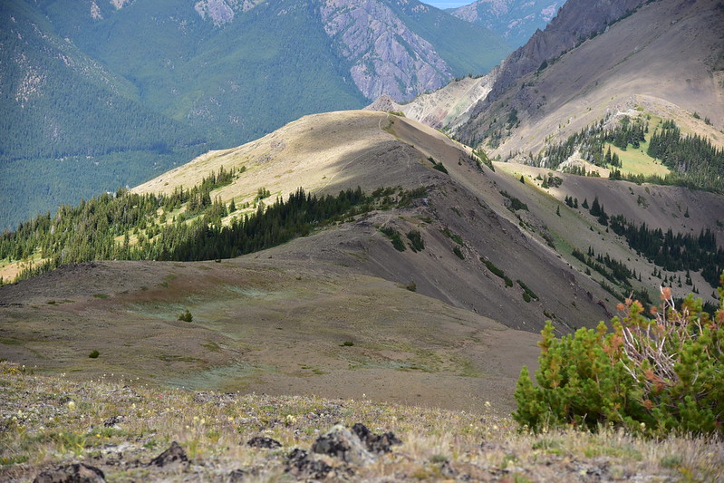
Now we continued on the Big Quilcene Trail for the final 1.7 miles to Boulder Camp. Even though the light was terrible for photography, the first half mile after the pass was SPECTACULAR! It reminded me a lot of the Highline Trail in Glacier National Park:
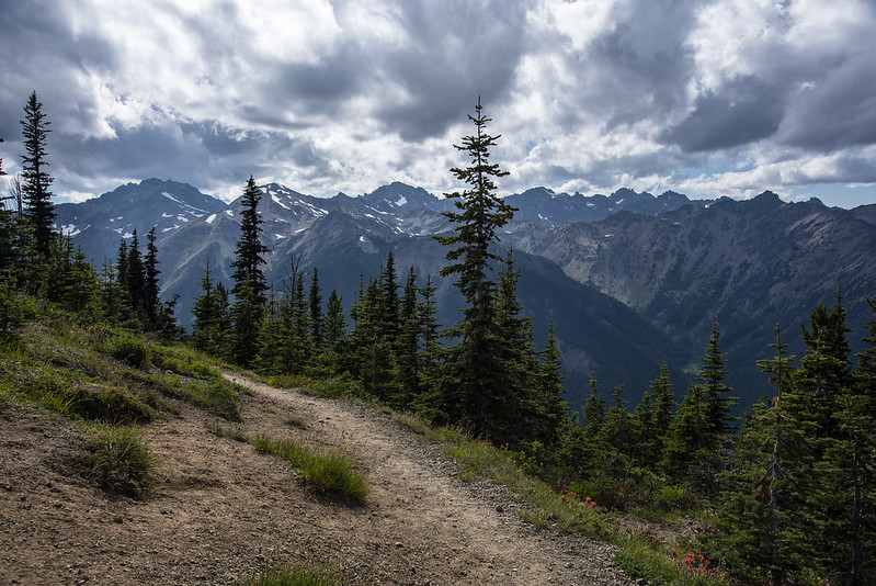


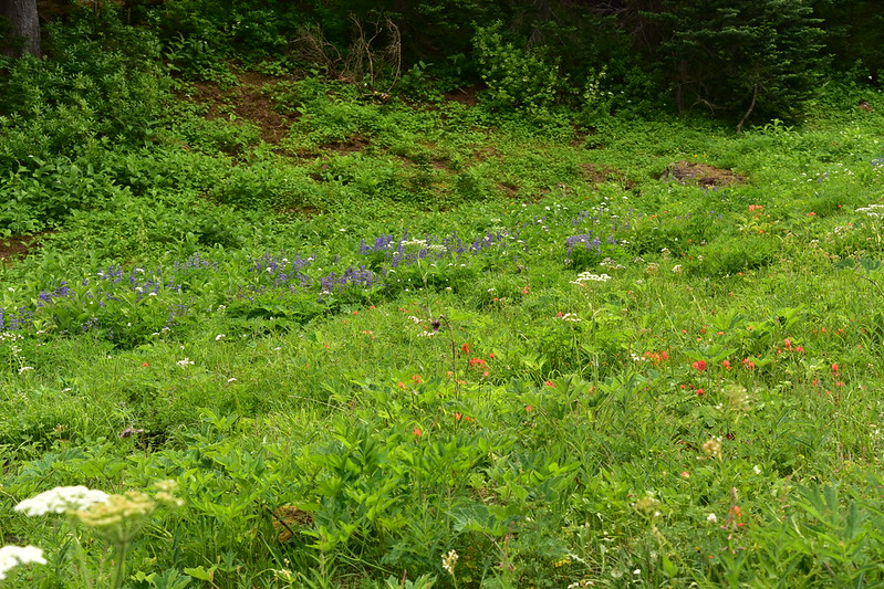
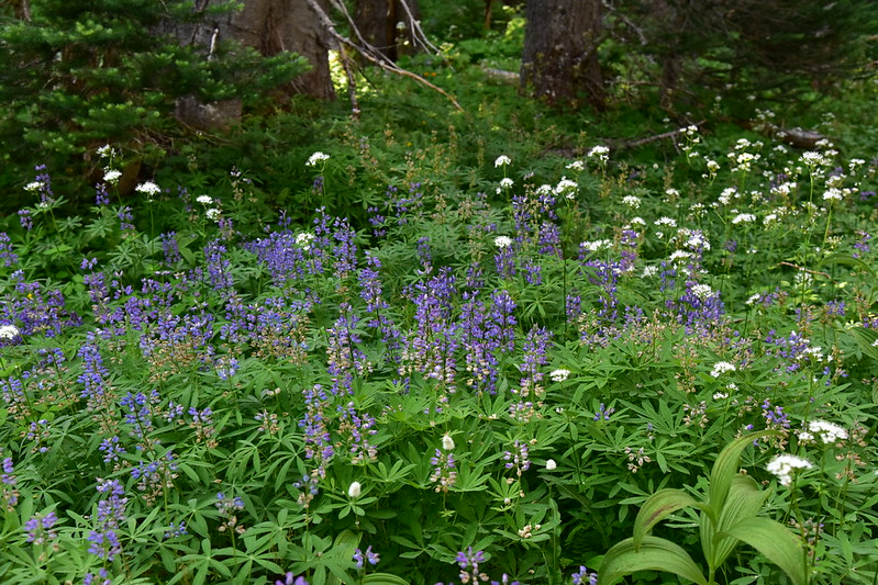
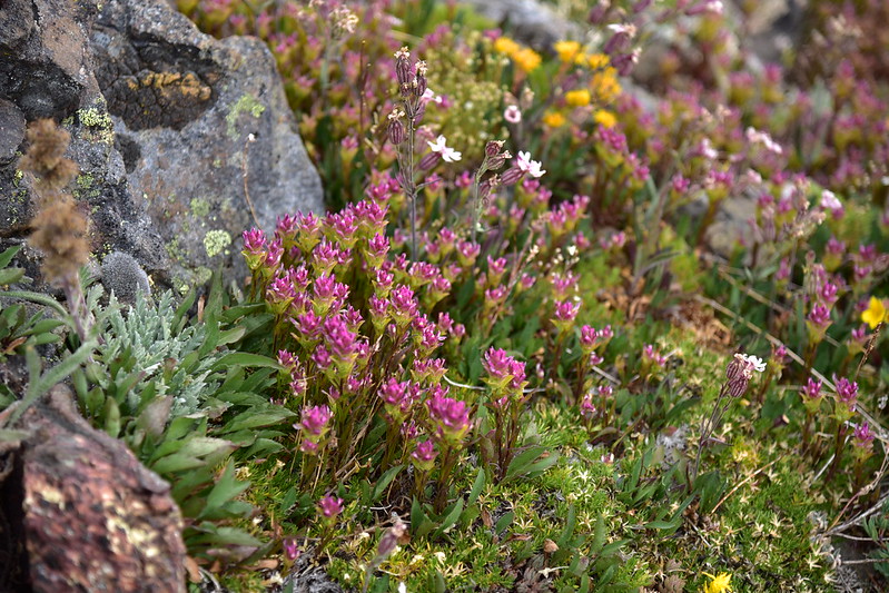
We were pleasantly surprised by the number of wildflowers we saw along this stretch:

The trail started descending into the trees:

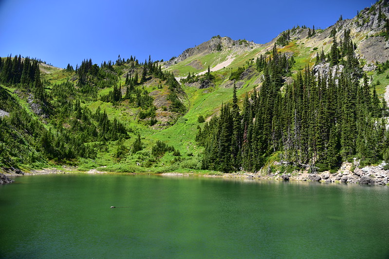
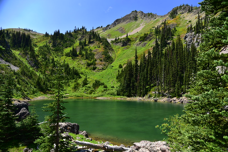
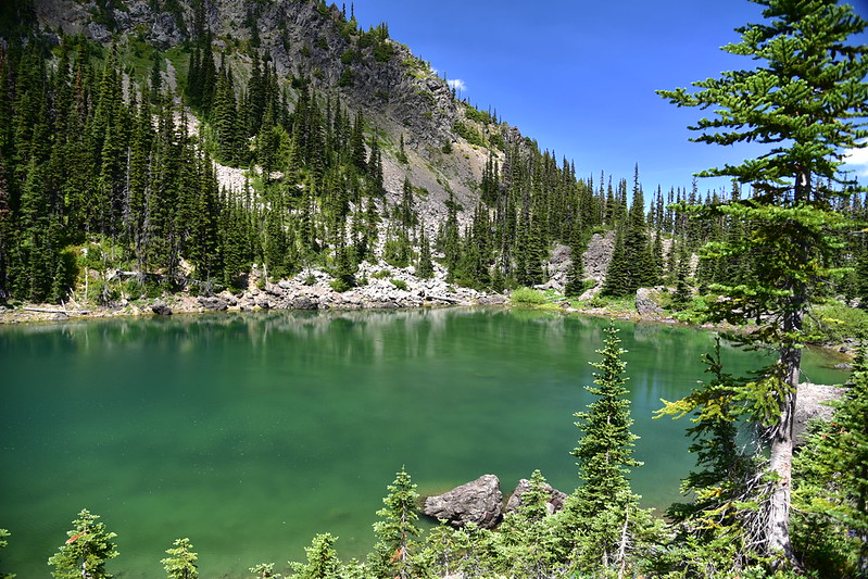
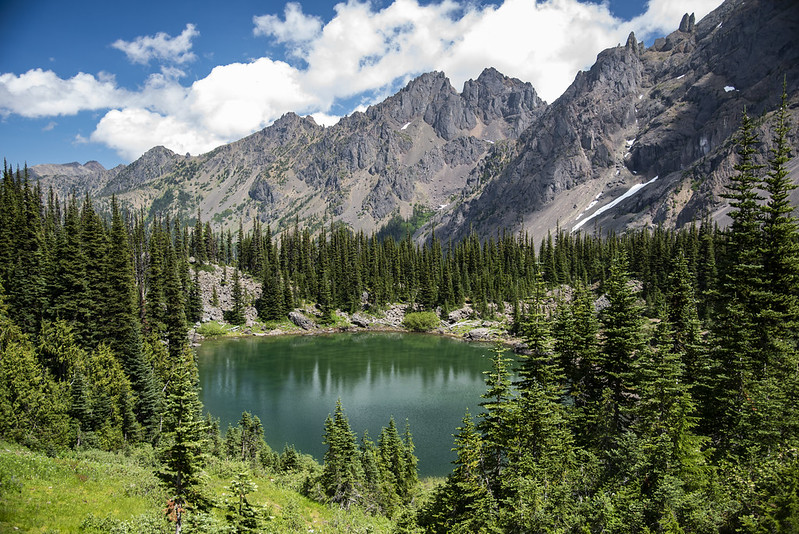
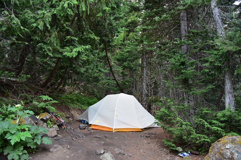
And then we reached Boulder Camp, whose historic shelter we could see from above as we approached:

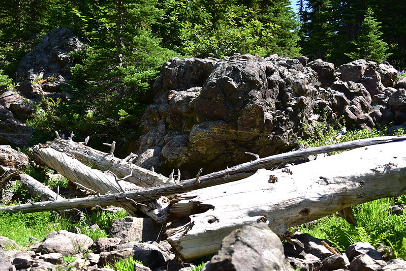
Boulder Camp was functional and there was a water source and that is all there is to say about it. There were only a handful of places to pitch one’s tent amongst the boulders and broken trees (from avalanches):

A nice little creek ran along the edge of the camp:

Lacking other options we found a “site” that was a little uneven, but mostly flat:

This unnamed peak towered over the camp:
The shelter at Boulder Camp is off to the side and out of the way of the avalanche activity here:
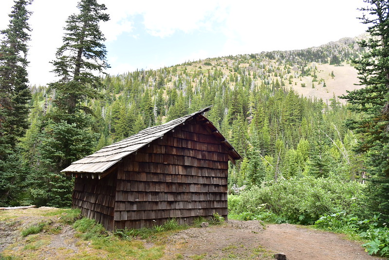
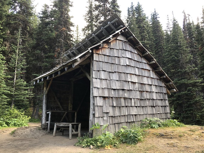


The shelter has been heavily vandalized by people who just had to “leave their mark.” What is wrong with people? It was restored in 1994 and despite the graffiti seems to be in pretty good shape. It must have seen some maintenance in the 27 years since it was restored:

There were some old cans in there, some of which were unopened:

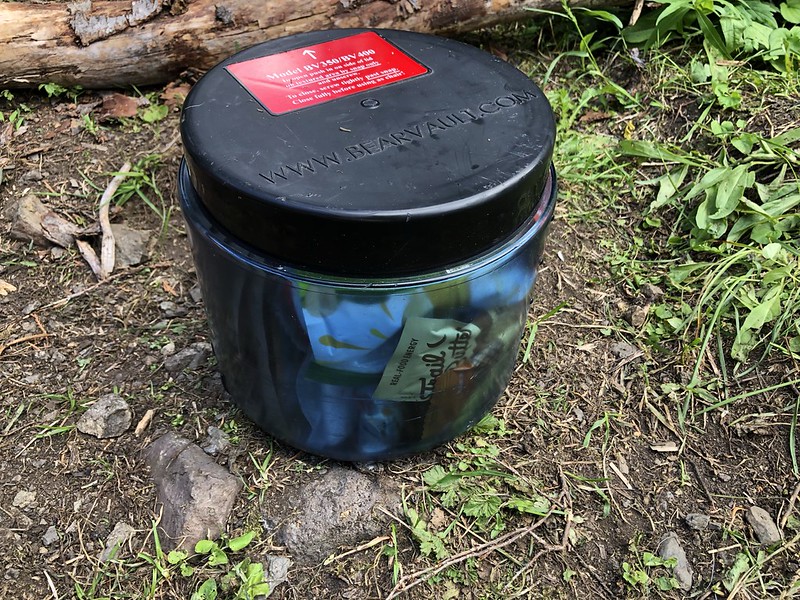
We got out our infernal heavy bear canisters and started making dinner:
It had been a very long day so we went to bed immediately after eating and completing our evening camp chores. It was a mild 60 degrees at 8:45pm.
Mileage today: 8 miles
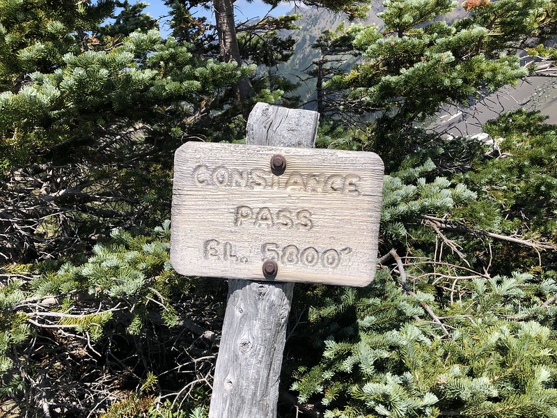
Day 2: Day hike from Boulder Camp to Home Lake and Constance Pass
When we woke up Monday morning there was heavy dew on everything:
Even though “sunrise” at this location was technically 5:41am, the sun didn’t crest the ridge and bless our camp with sunshine until 8:50. However we could see the morning light shining on the mountains to our west, even as we sat in shadow:
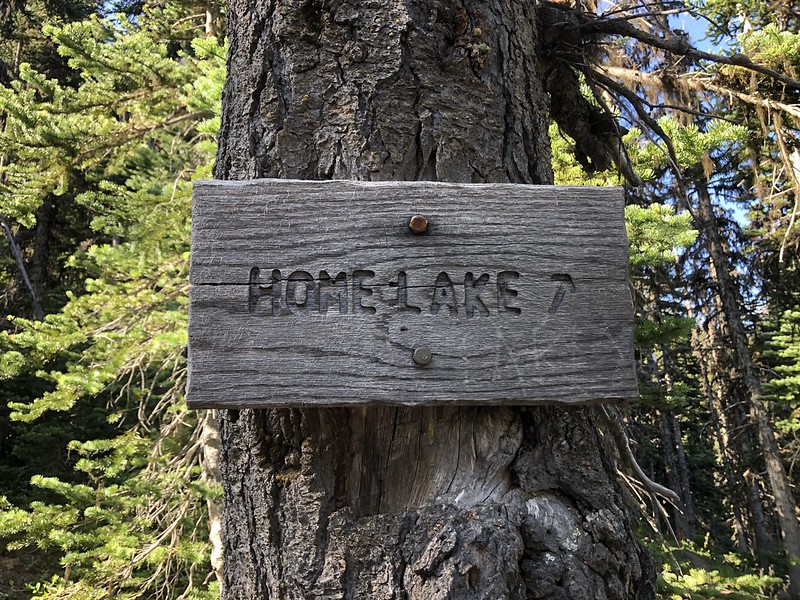
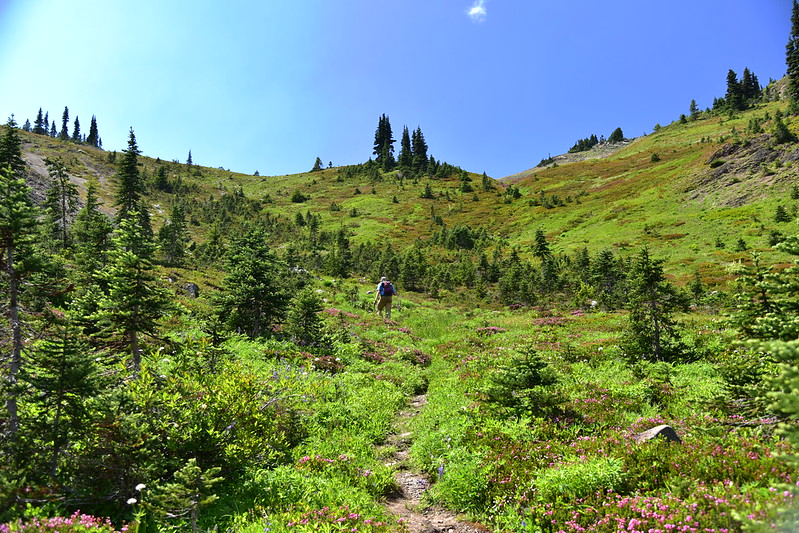
Today we were headed out on a day hike to Home Lake:

After awhile in the trees we started to get some really great views:


We crossed over from the Olympic National Forest into Olympic National Park:
We saw some nice wildflowers along the way:
Ahead of us we could see where the bowl was that contained Home Lake (not visible) and Constance Pass above:
For the second day in a row we passed an unnamed waterfall that wasn’t on our map. It’s impossible to cross here without getting a little wet:


Stretches of this trail were pretty brushy. I took these photos on the way back:
We crossed a large screen slope where we encountered the only patch of snow we would get close to the whole trip:

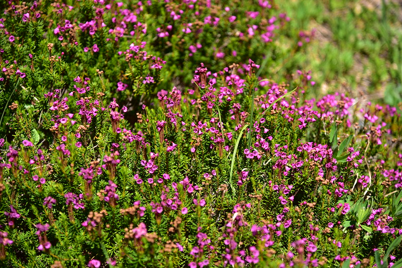
Then it was a climb through the trees on the last stretch to Home Lake. We saw some nice heather in bloom:
Four miles from Boulder Camp we reached Home Lake:


We had the place to ourselves and sat on the shore enjoying a break. This lake has no visible outlet, but the water level does decrease over the summer. The high water line was visible on the rocks behind us:
We wanted to continue another half mile to Constance Pass and the day was getting warm, so we tore ourselves away from the lake and continued up the trail. There is a lovely gurgling snowmelt stream on the other side, flowing into the lake:

Looking back as we climbed:
On our way to the pass:


And we’re there!
The views up here were pretty incredible:
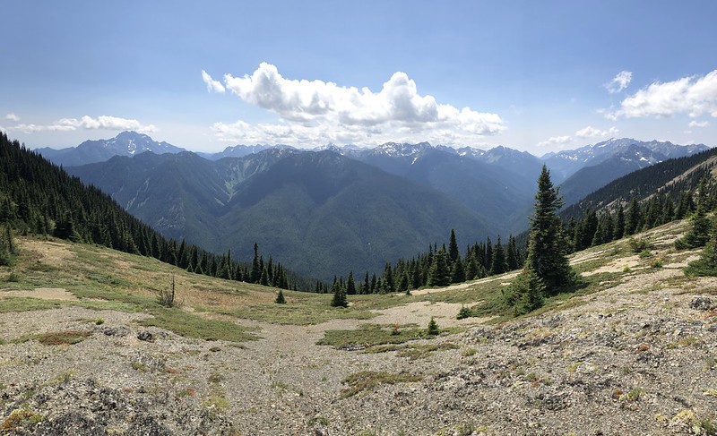


We could see where the trail continued to a high point over there, which is what those backpackers had told us about. We decided not to do that and we called it good here:

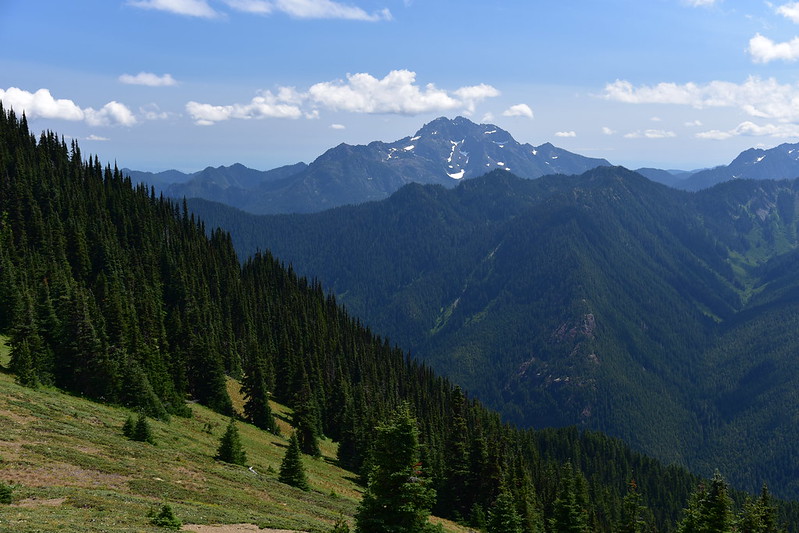
The Brothers:
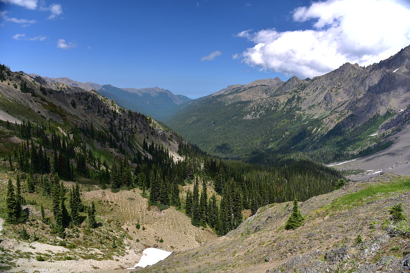
Looking back the way we came:
The pass area:

While Greg was wandering around photographing wildflowers I ran into a solo backpacker who had just arrived at the pass. That day he had hiked all the way from the Big Quilcene trailhead (where we had started yesterday), which meant he had already done about 12 miles. I asked if he was headed to Sunnybrook Meadows and he said past that, and he had about four miles to go. According to our map it was 4.7 miles from the pass down to the Dosewallips River Trail, so maybe that’s where he was headed. What a long day with a lot of ups and downs! He said that the view from this pass was normally obscured by clouds so I guess we got really lucky being able to see the mountains unobstructed.
Heading back:


When we got back to camp at 6:30 there were even more tents than there had been this morning. We ate dinner and headed to bed.
Mileage today: 8.4 miles
Day 3: Boulder Camp to Mystery Camp with a hike up Buckhorn Mountain
Once again, we had to wait until nearly 9am for the sun to hit camp:

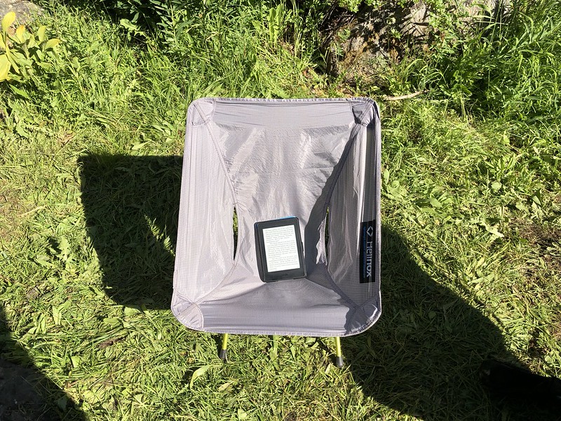
After breakfast we packed up camp and prepared to leave. I got my gear together than sat and read my Kindle for an hour while I waited for Greg to finish:
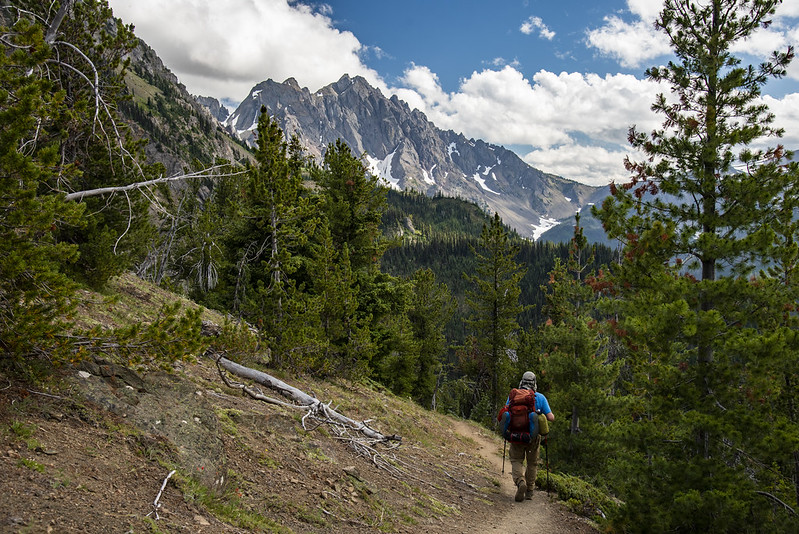
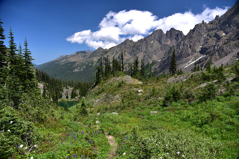
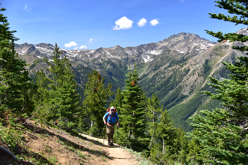
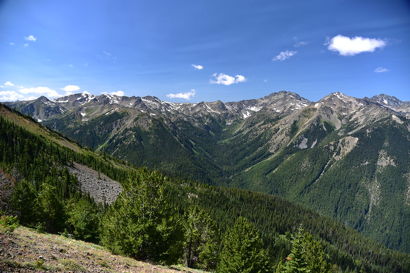
We finally left at the very late hour of 11am. We retraced our steps back towards Marmot Pass where we had come from two days before. We had better conditions for appreciating the fantastic mountain views today:


Nice wildflowers:


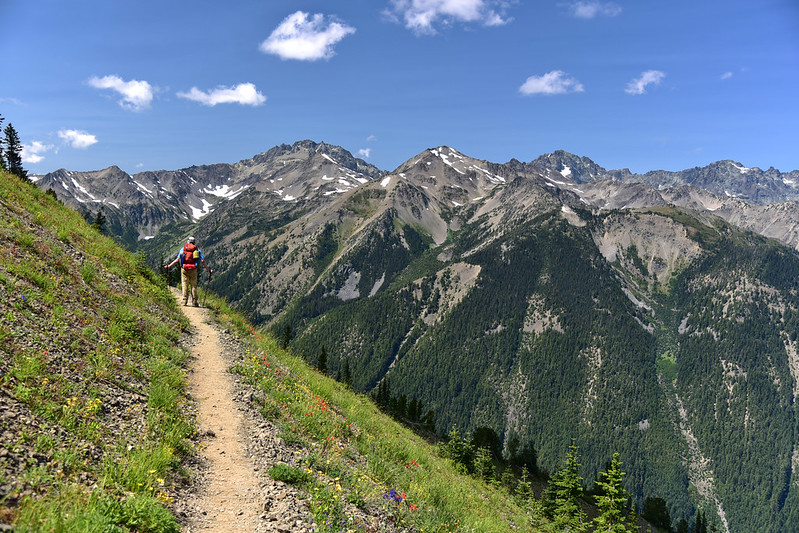
Almost back to Marmot Pass and Buckhorn Mountain is straight ahead:

Back at Marmot Pass:
There is a popular user trail that heads south from the pass:

But we were heading up Buckhorn Mountain. We stashed our overnight packs in the trees, switched to day packs, and began the very steep ascent:
Every day we’d been having afternoon clouds, which is why I was eager to get an earlier start than we did. Unfortunately we did not beat the clouds. Looking back down at Marmot Pass:
Greg coming up the trail behind me:

We saw a few hardy wildlowers:
We got to this spot about halfway up where we could see the summit (at left below) which was pretty socked-in. There were pretty good views from this spot, and we didn’t see the point in wasting time and effort going to the true summit if we couldn’t see anything up there, so this was our turnaround point:


We sat here and took a break and enjoyed the mountain views:


Do you see a snow heart in the distance?


We could see to the north where a second trail came up Buckhorn Mountain from the Tubal Cain Mine Trail:
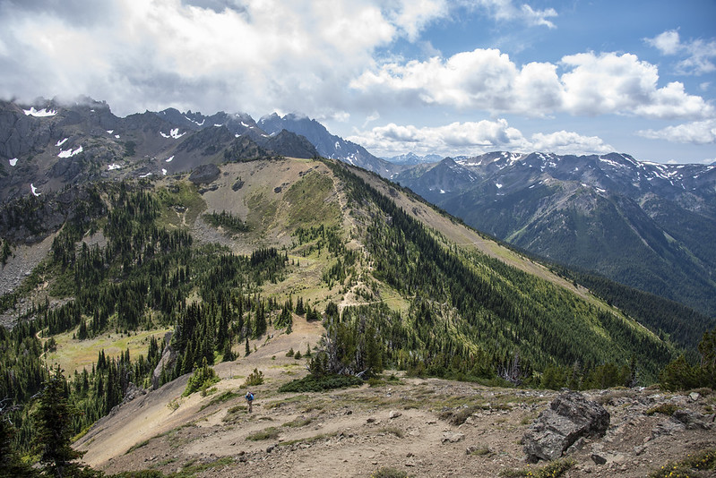
By the way, a few days later we would see Buckhorn Mountain from a distance while hiking from Obstruction Point. Of the two distant knobs, it is the one on the right:

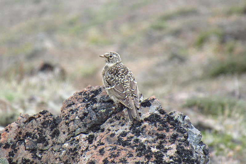
On the way back down to Marmot Pass we saw an adult horned lark and two youngsters:

Almost down:

This being a Tuesday we didn’t see many people at Marmot Pass:

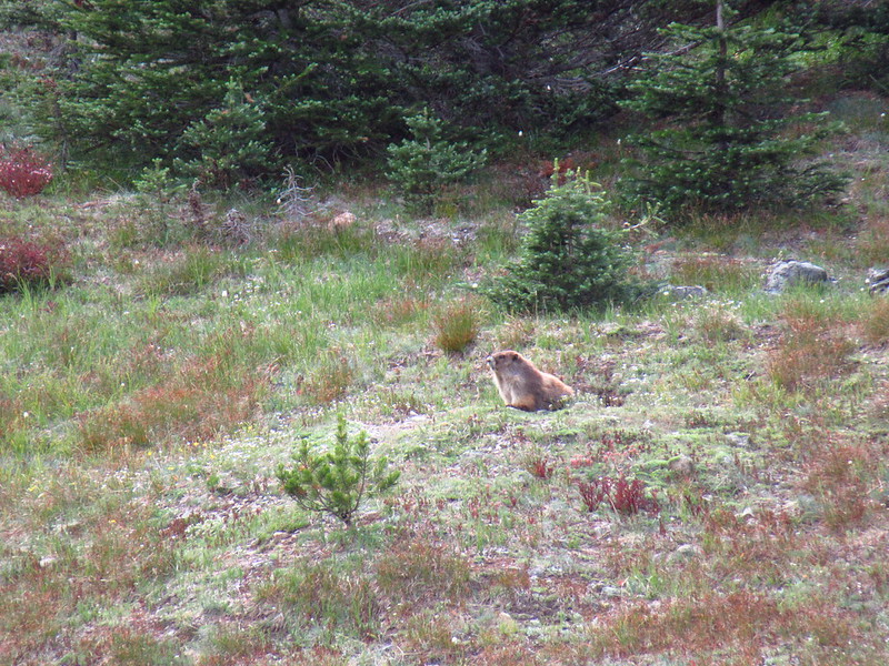
But we DID see a few marmots:

We retrieved our overnight packs and descended from the pass:


On the way down we stopped to briefly chat with a hiker and pet her cute dog. We mentioned that we were headed to Camp Mystery and she said that’s where she was camped and warned us there was a large group staying there. Past experience has taught us that people = noise. There are trailside campsites beyond the main part of the camp, so with that warning in mind, we grabbed the first one we saw in order to be as far away from those people as possible:
This spot also happened to be near the spring that was the source of the stream flowing through Mystery Camp, so we had a nice water source:


Mileage today: about 4 miles
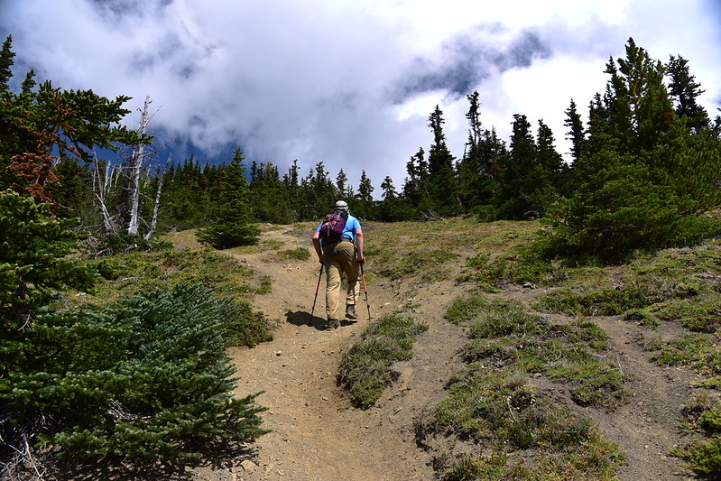
Day 4: Mystery Camp to Trailhead
We slept well last night and our tent was dew-free this morning, yay! We could see the moon when we got up:

We ate breakfast, packed up, and headed down the trail towards our car. We saw WAY less people than we had on Sunday, of course:
Mileage today: 5 miles
Considering we didn’t have permits to backpack in the park, this was a great backup option. Except for that first day we were lucky to be able to be here during the week when there were fewer people.
One thing we would do differently next time is start at the Upper Dungeness Trailhead on Road 2860 and hike up that trail to Boulder Camp, then use that as our base camp the whole time with day hikes to Home Lake and Buckhorn Mountain. That trailhead is the same elevation as the Big Quilcene Trailhead where we started, but because we went up and over Marmot Pass we had more elevation gain and loss. What a beautiful area!

Video:


