Friday, July 30, 2021
After our four days of backpacking in the nearby Buckhorn Wilderness, we had several day hikes planned in Olympic National Park. Today we did Grand Ridge.
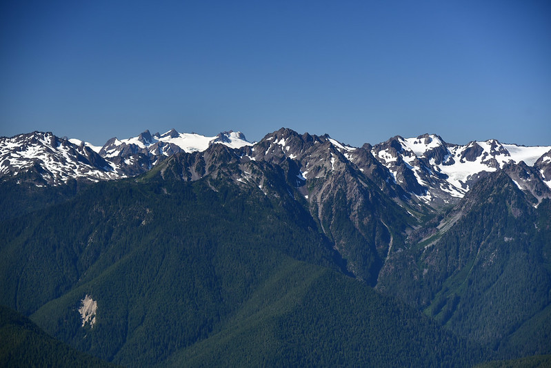
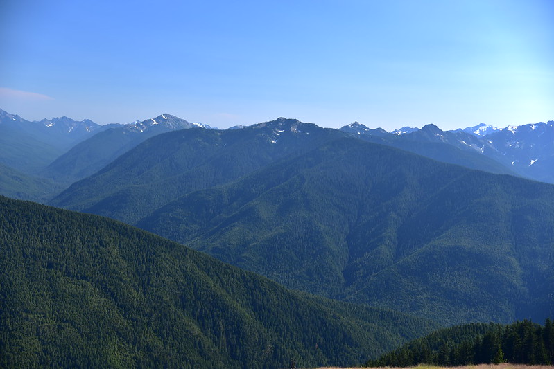
We checked out of our Sequim hotel yesterday morning and found a campsite at Heart O The Hills Campground so we’d be in a convenient location. This morning we drove up to Hurricane Ridge and stopped for an obligatory photo of the spectacular view:

The we headed out on the gravel road towards Obstruction Point. This was a really spectacular drive:
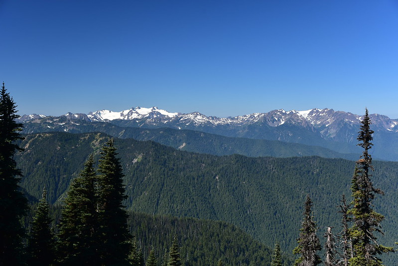
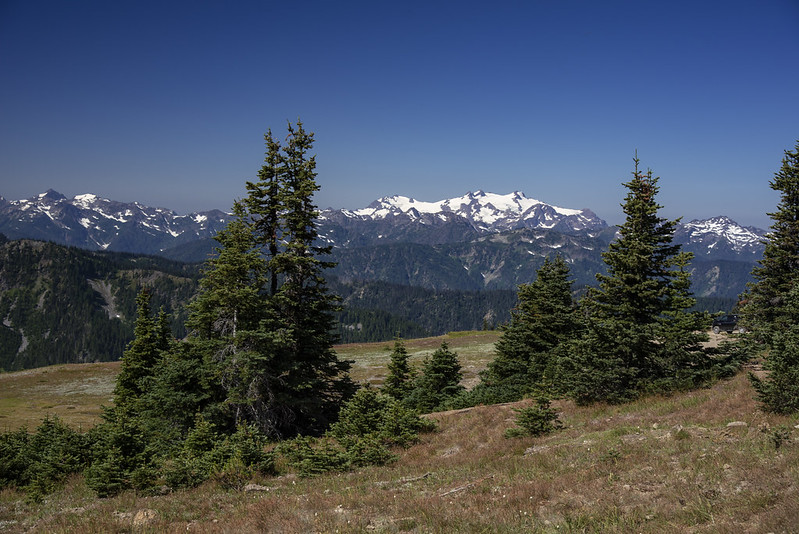
The view from trailhead was also fantastic:
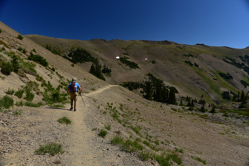
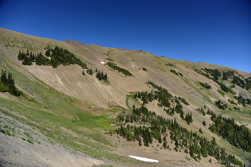
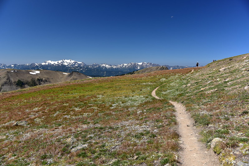
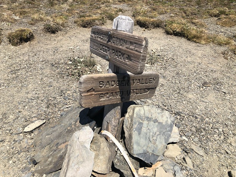
This trail starts here and ends at Deer Park 7.5 miles away. We would just be doing the first part and turning around:

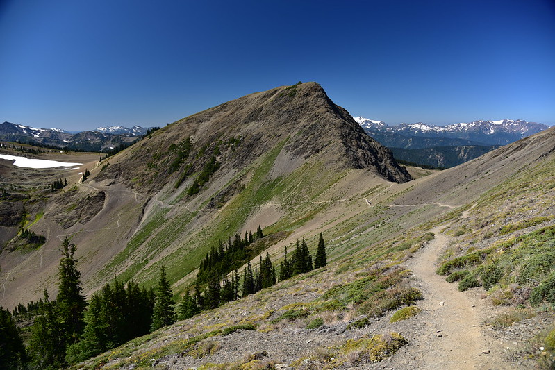
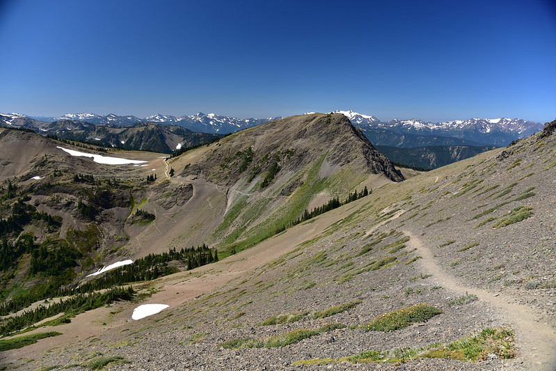
We could see our route ahead. This photo was taken in the afternoon on the way down:
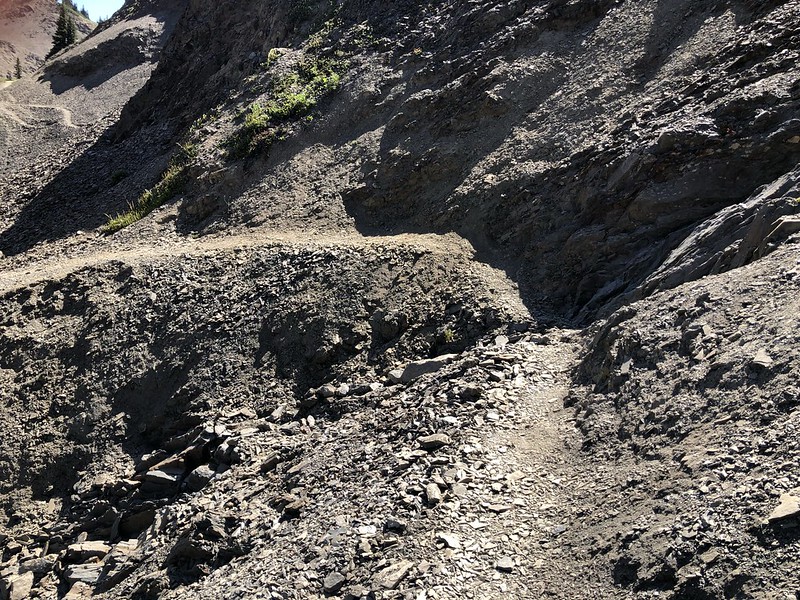
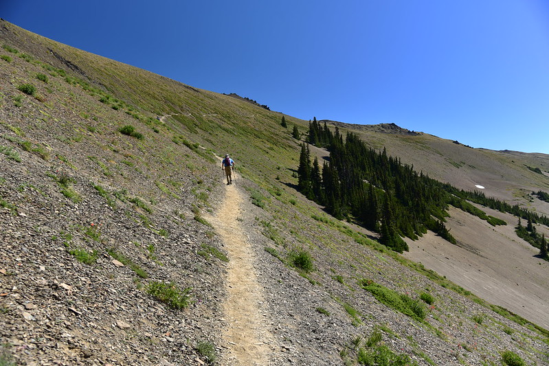
In the first half mile or so were a few sketchy sections where the trail was eroding down the hill:
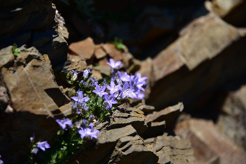
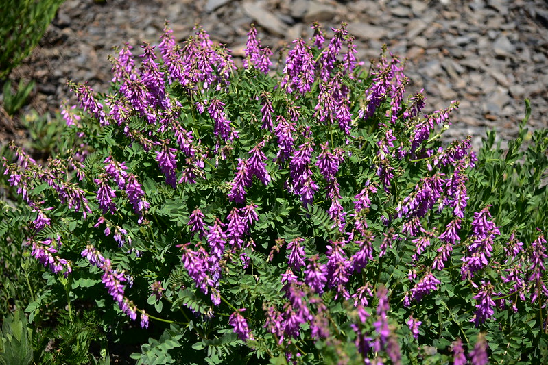
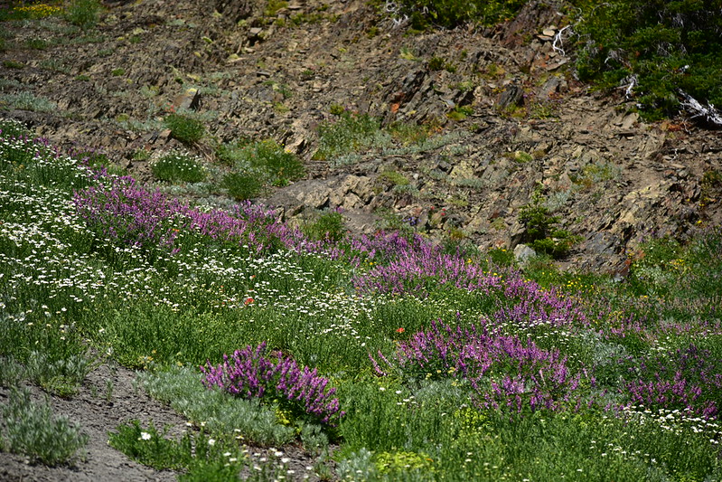
In the first stretch we saw a few wildflowers.


Piper’s bellflower:
Western sweetbroom:

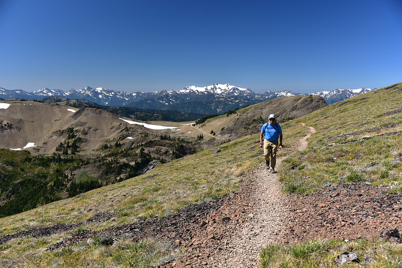
Then the trail turned east as it climbed up to the ridge:
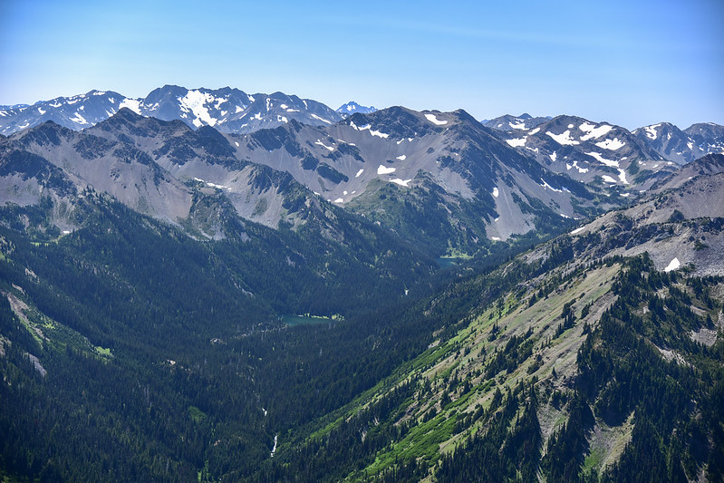
We had a view down Badger Valley (photo taken in afternoon) up which we would hike from Grand Valley tomorrow:

The scenery behind us was amazing and we kept turning around to look back there:

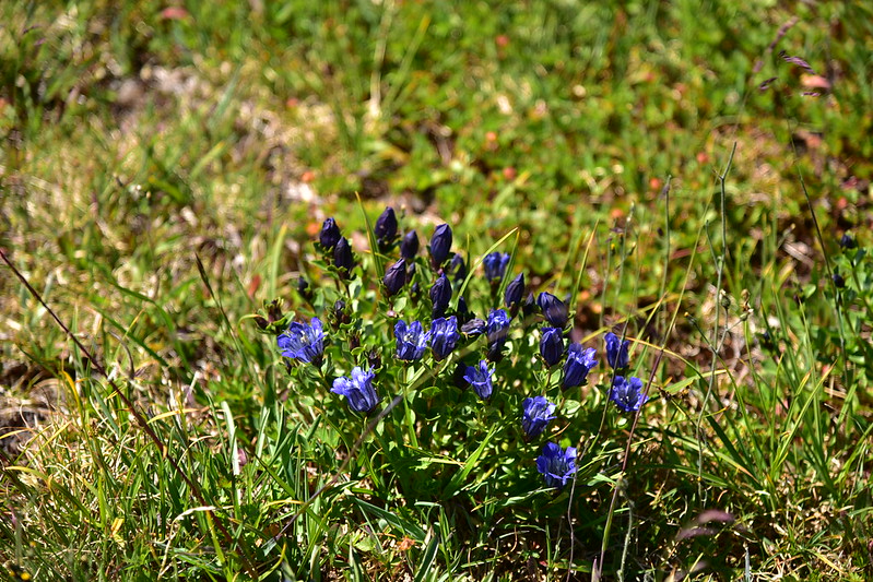
Gentian:
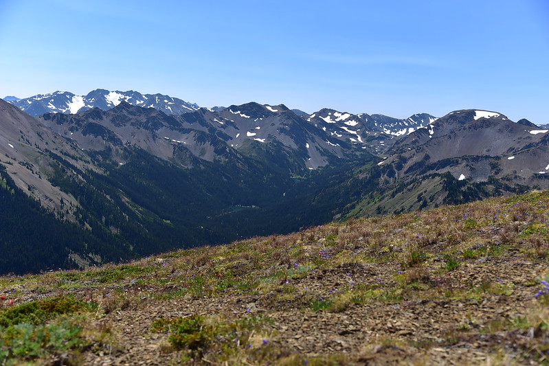
Wow, these mountains are so impressive!


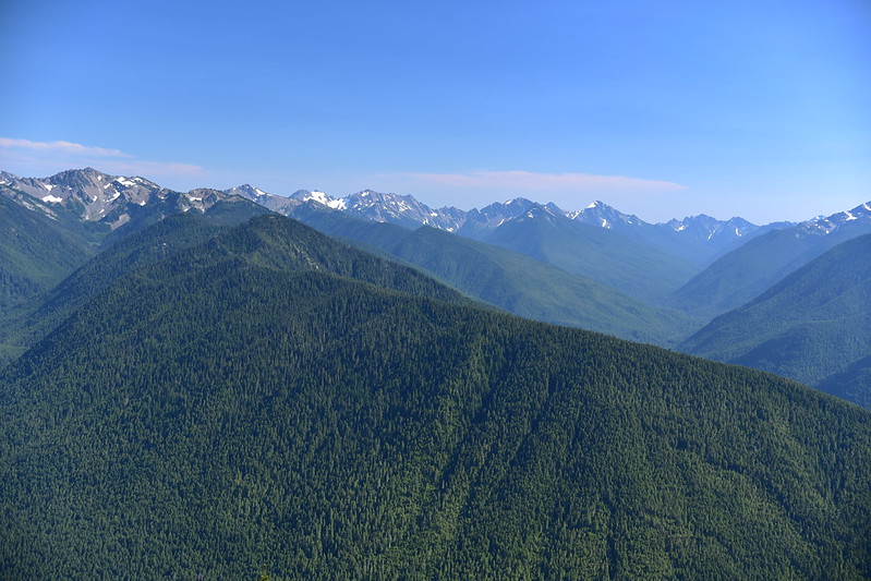
This was the view in front of us as we hiked east:


At two miles we reached a trail that headed down into Badger Valley, but we stayed on the ridge:
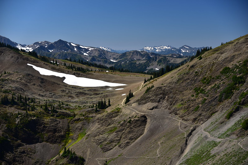
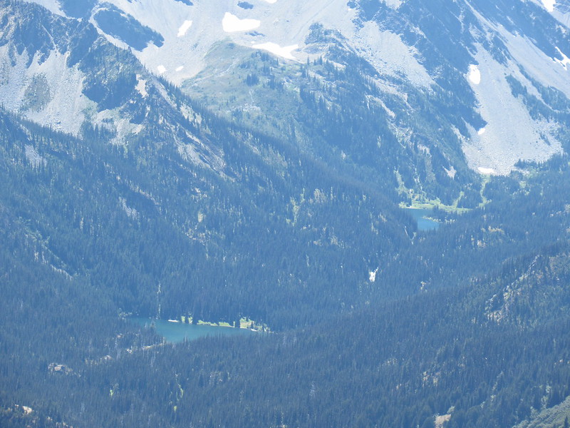
We started getting views into Grand Valley where we would hike tomorrow. That’s Grand Lake on the left and Moose Lake above it on the right:
Looking down Grand Creek:

Last stretch before we stopped:

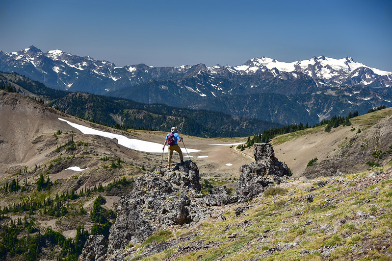
The trail started to descend steeply down to Roaring Winds Camp so we made that our turnaround point and sat down for a snack with a view of the mountains:

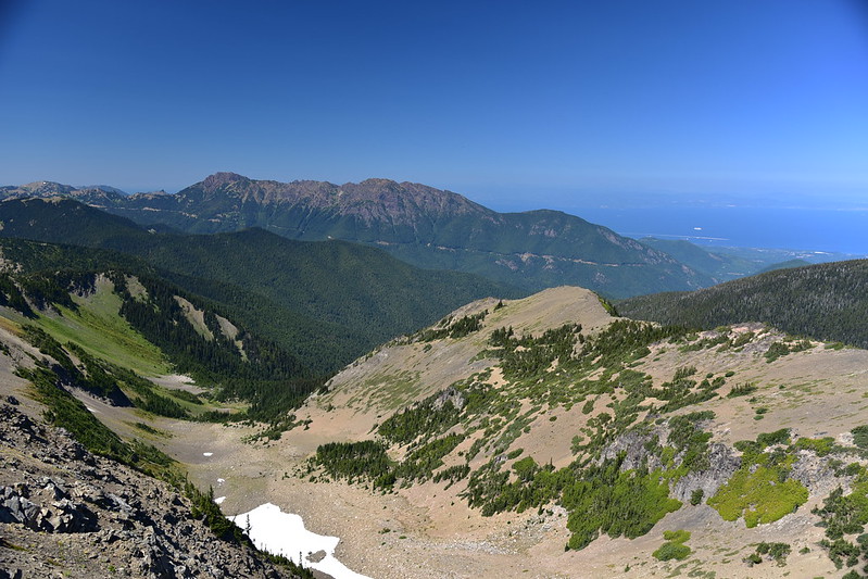
Looking up Grand Valley:
Those two bumps in the distance are Iron Mountain and Buckhorn Mountain. We hiked partway up Buckhorn Mountain a few days previous on our backpacking trip:


We had a view north over the San Juan Straight to Vancouver Island beyond:

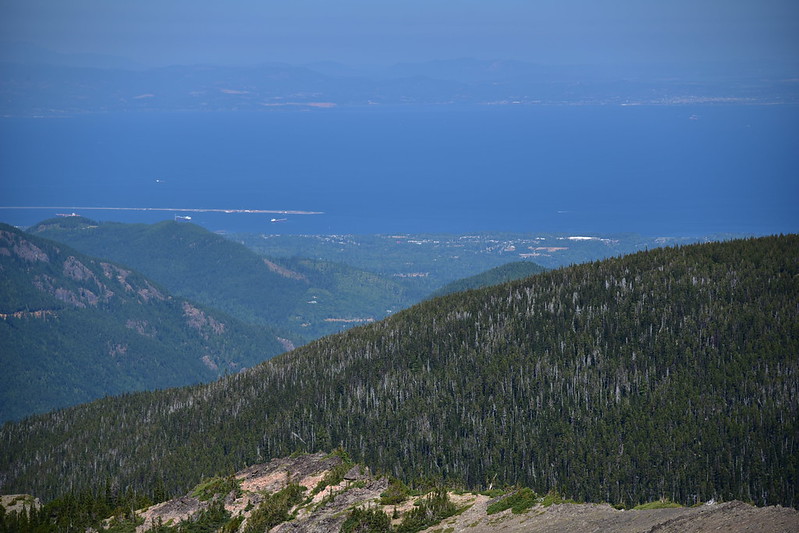
We could see the Hurricane Ridge Road over there:
It wasn’t terribly windy, but we did have some strong and random wind gusts. One of them grabbed hold of my binoculars case and sent it down this crumbly slope. Greg tried to get it, even though this slope was a bit treacherous. But he knocked a little rock loose that sent the case tumbling down, down, down:

It was getting hot so we packed up and headed back.


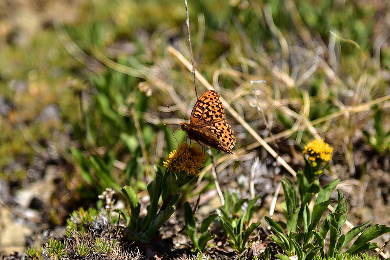
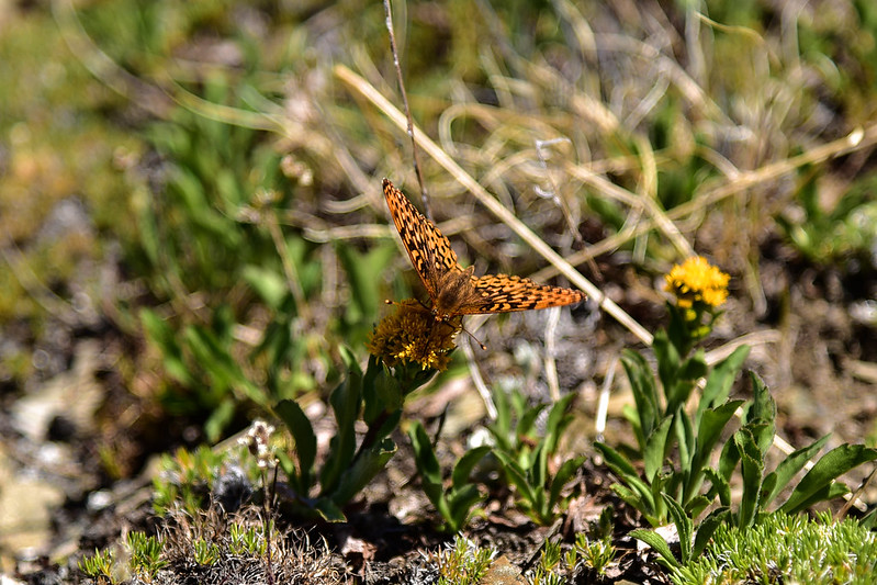
Saw this lovely butterfly
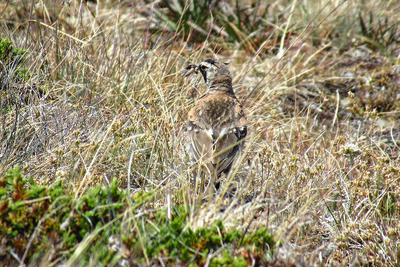
We also saw a horned lark:
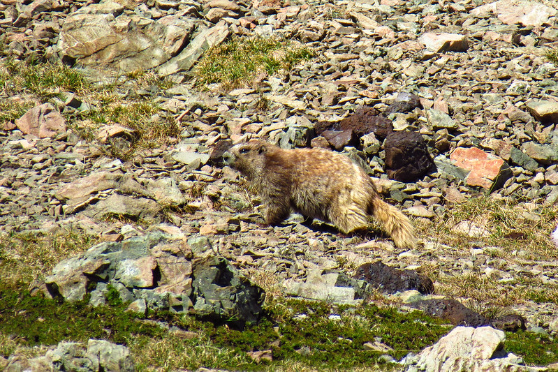
And an Olympic marmot:
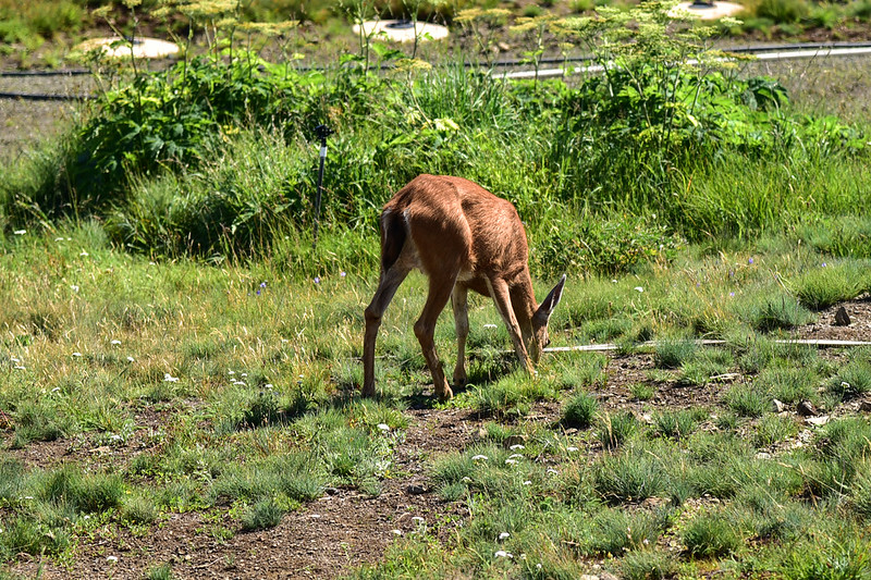
What a beautiful hike! We drove back to Hurricane Ridge where we took a few photos before fleeing from the crowds:
We saw a deer grazing here:
This was the last good weather day of the trip, unfortunately. The following day we had clouds and rain, and the day after that smoke rolled in.
Gaia stats: 5.2 miles, 720′ elevation gain


