Saturday, July 31, 2021
Today we decided to do the Grand Valley loop hike.
This was the disappointing view from Hurricane Ridge when we arrived:

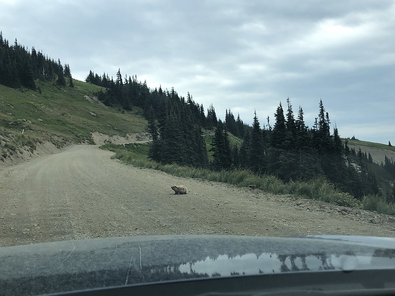
The forecast called for a 30% chance of showers before 11am and mostly cloudy, so we decided to go for it and headed out to Obstruction Point. On the drive we saw a marmot in the road, who quickly skedaddled:
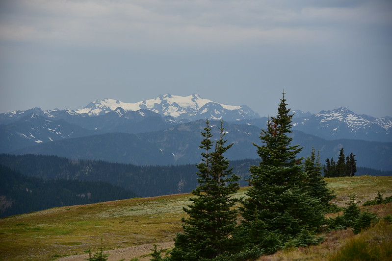
The view from the trailhead was quite a bit different today than yesterday (when it had been sunny):
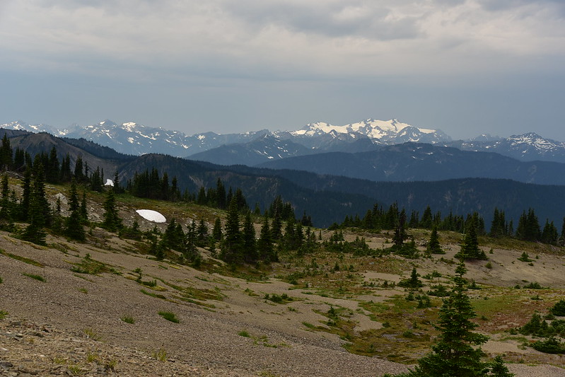
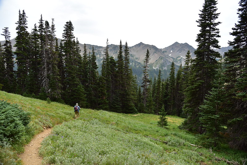
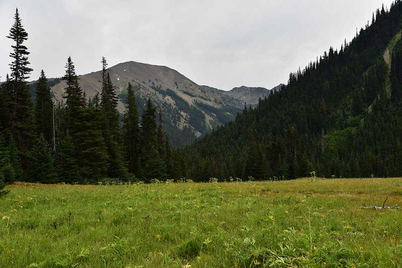
We set off up the Grand Pass Trail, which had some grand views:

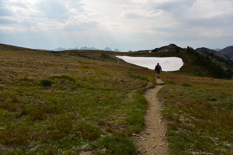
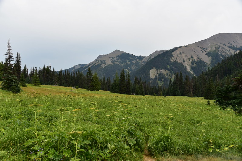
The trail traversed big sprawling meadows above the tree line:

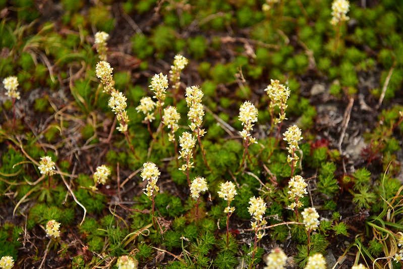
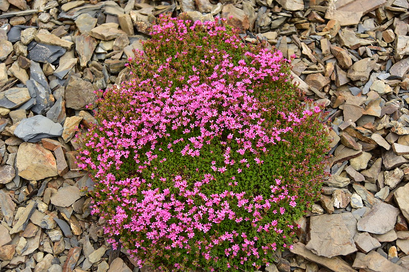
We saw lots of partridgefoot:
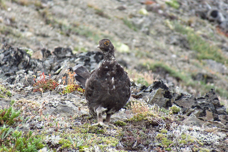
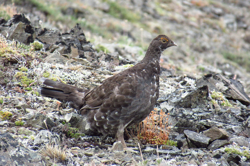
We saw a grouse:
Looking down the valley of Grand Creek:

Looking back at Grand Ridge, which we hiked the day before:
Getting ready to do a lot of descending:


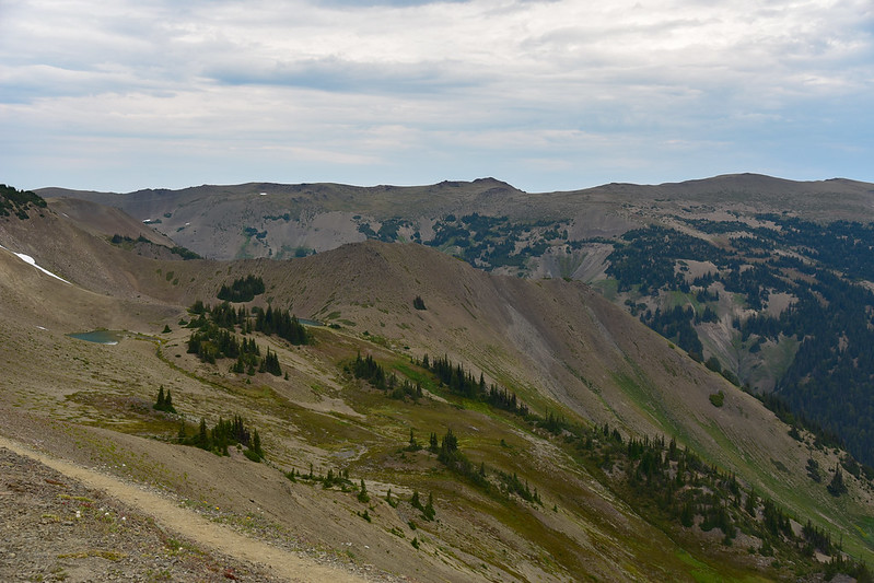
Looking down into Grand Valley:

The trail lost a lot of elevation as it descended down into the valley:


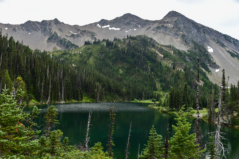
Finally Grand Lake came into view below us:

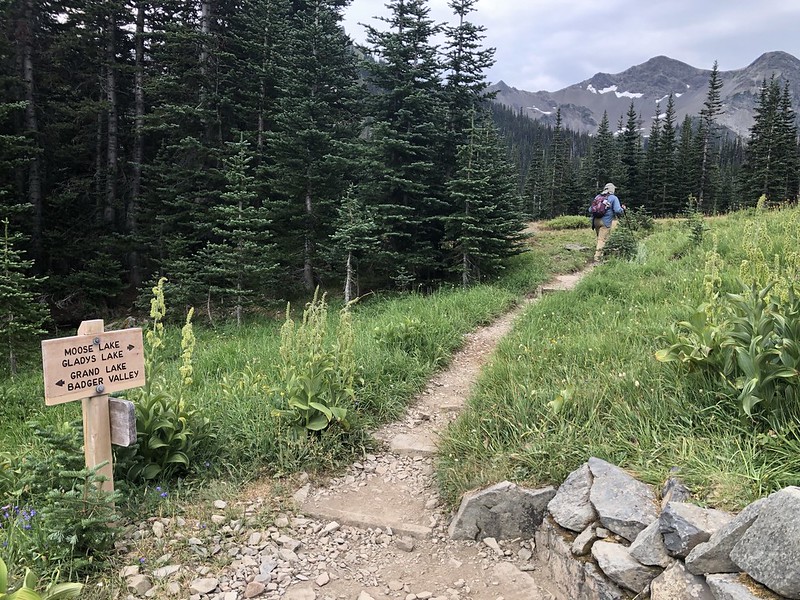
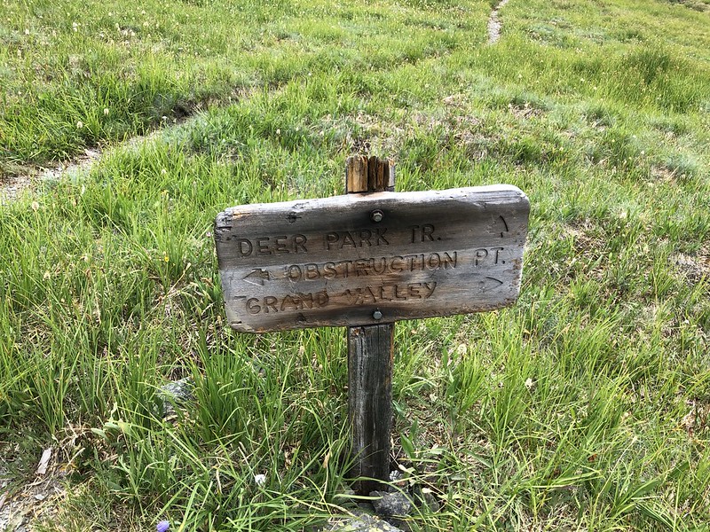
We reached the trail junction after 3.6 miles and headed right towards Moose Lake:
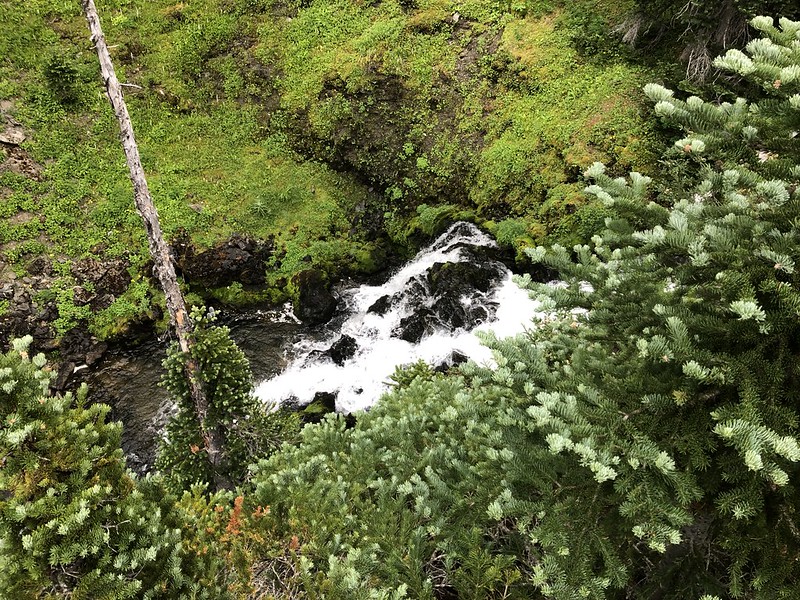
Just before Moose Lake we took a short side trail hoping to see the waterfall, but we only got a tiny glimpse of it:
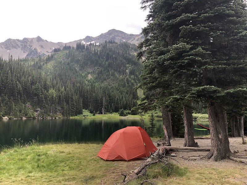
Moose Lake:
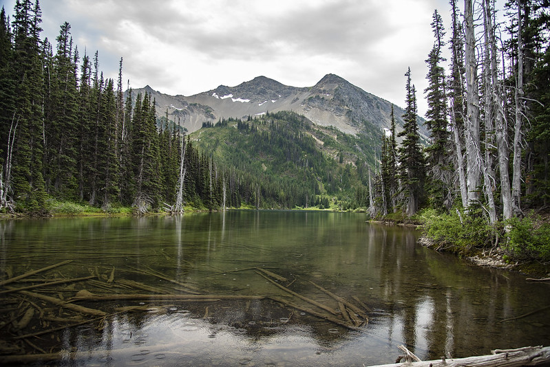

This would be a beautiful place to camp, but climbing out of this valley with an overnight pack would not be fun:
The outhouse sign had a clever “open / in use” indicator:

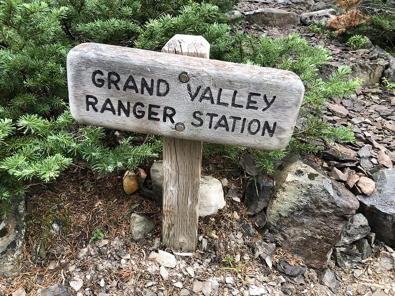
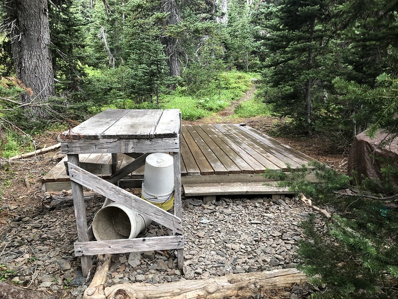
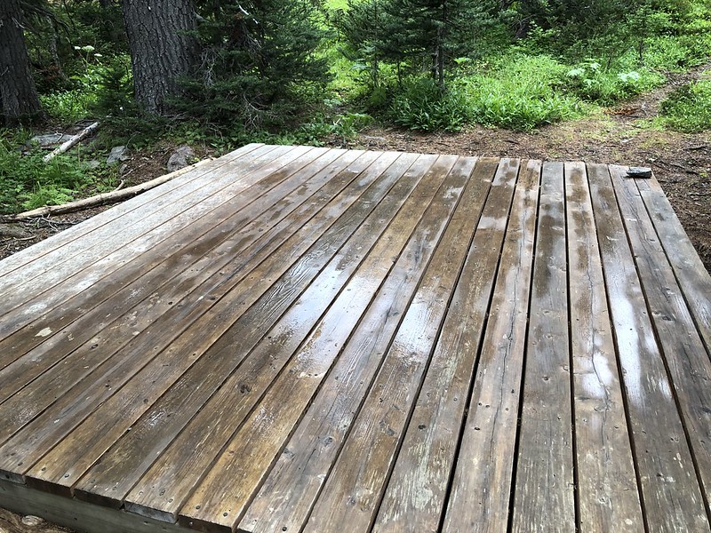
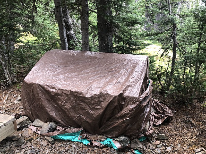
We found a spot by the lake to sit and take and take a break. As soon as we got settled in it started to pour. We grabbed our gear and retreated back along the trail to the so-called “ranger station”:
It is nothing more than a wooden platform and a covered gear bin:
We took a short break in the protection of the trees by the wooden platform then headed towards Grand Lake in the rain:


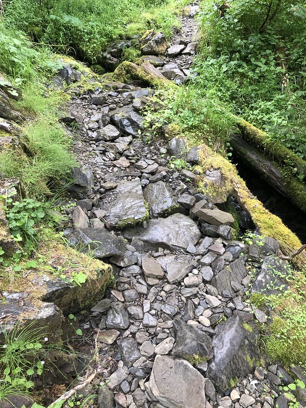
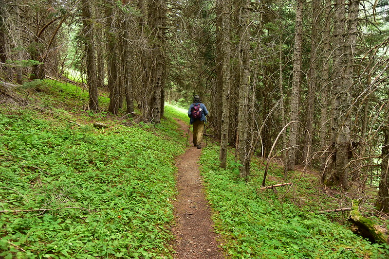
Due to the weather we really didn’t stop to take a look at Grand Lake. A few quick pictures from the trail and we continued on. The Badger Valley Trail was rather rough in spots:

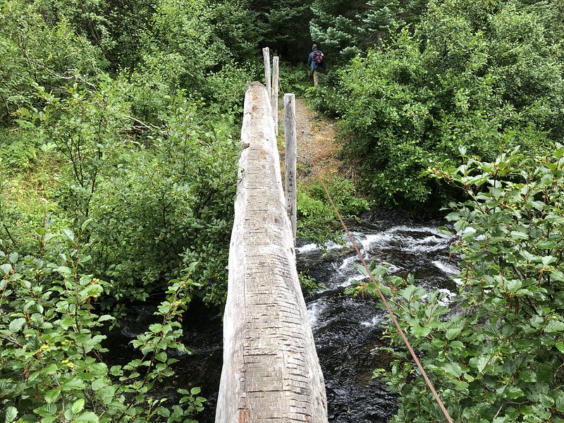
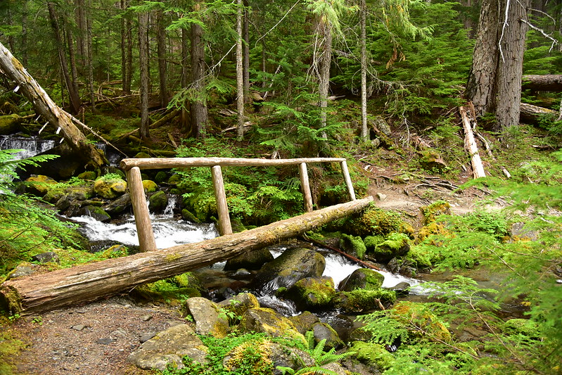
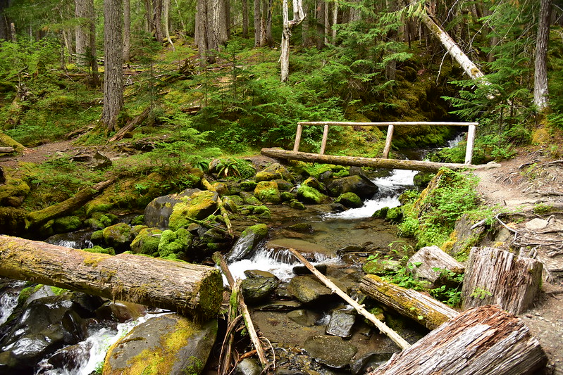
We crossed a creek, dumped our packs, put on bug spray (the bugs were BAD). Then marched on. About a mile from Grand Lake we crossed another creek:

A welcome stretch of easy walking!
Another creek crossing. What a lovely spot:
Then the trail climbed very steeply. It was pretty humid and a little miserable. We broke out of the trees and crossed this meadow:
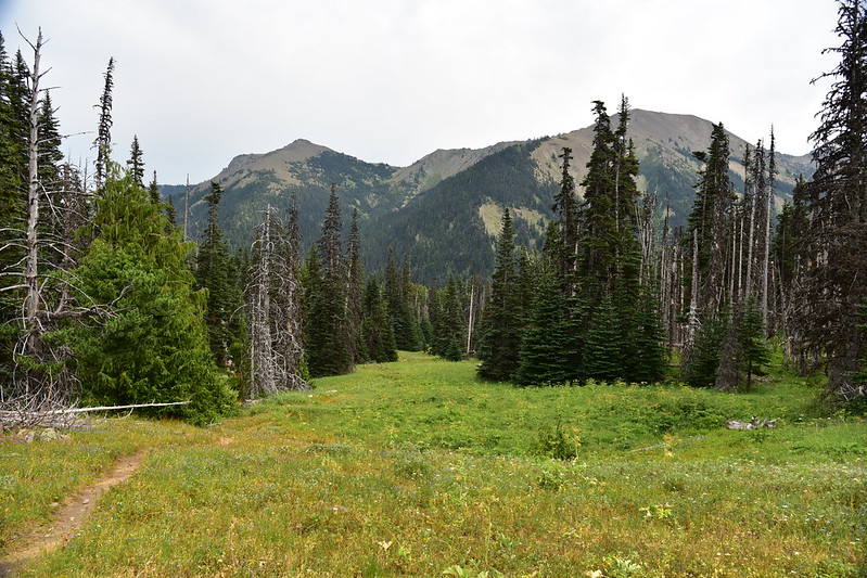

Looking back:
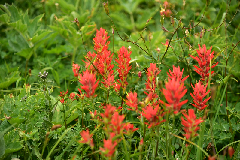
Then we got high enough that we reached the wildflower zone:
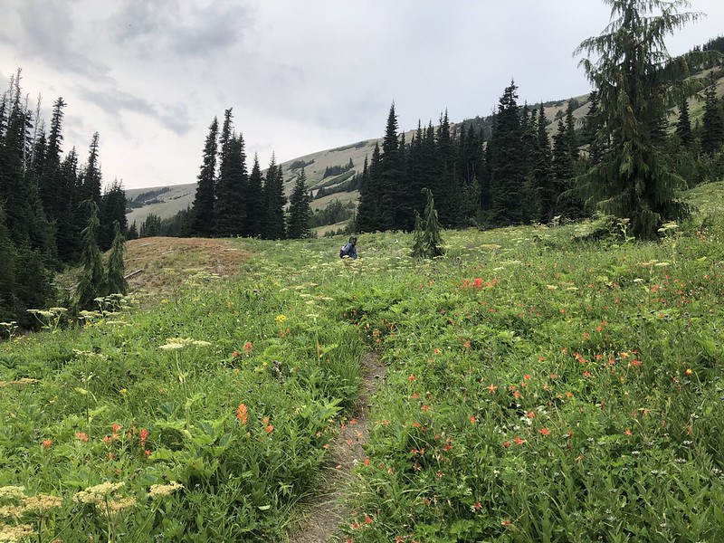

That was the last I saw of Greg for a few hours. He stayed behind to document all the flowers and I continued on, passing the junction with the Elk Mountain Trail that connects up to the trail on Grand Ridge we did yesterday:
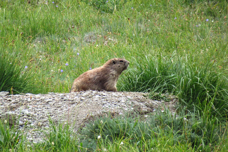
I spotted an Olympic Marmot:
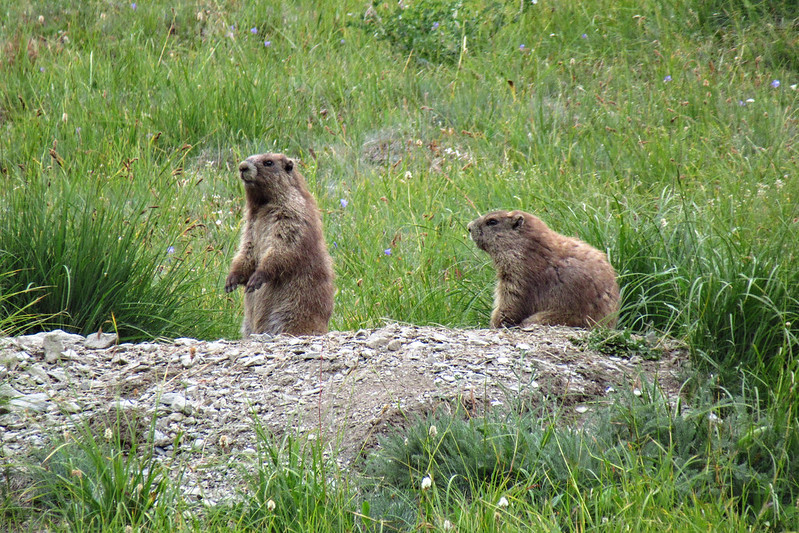
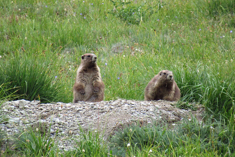
Two marmots!

I continued on, passing wildflowers and lovely gurgling alpine streams:


It’s hard to see here, but the trail climbs up that slope ahead:

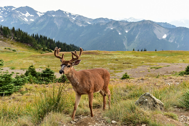
I stopped taking pictures at that point, although I kept turning around to see if Greg was coming (he wasn’t). I spent at least 15 minutes stopping and watching for him, but finally gave up and continued on to the car, which I reached at 5:35. A beautiful deer showed up at the trailhead and hung around for awhile:

Greg finally arrived at 6:20. We had planned to eat out tonight, but town was an hour’s drive away. Instead we cooked up a quick hot dog dinner behind the car before heading back to the campground and collapsing into bed exhausted.
Gaia stats: 10.5 miles, 2,530′ elevation gain


