Wednesday, July 27, 2022
After three days of day hikes in the national forests of Montana, it was time to start hiking in Glacier National Park. Our first hike was Triple Divide Pass.
On Tuesday we left our campsite along the Swan River, stopped in Kalispell to do laundry and eat food, then we drove over to St. Mary and our campground at Divide Creek Campground. We had just enough room in our site to set up the sleeping tent and bug tent, thankfully, because it was pretty buggy here:

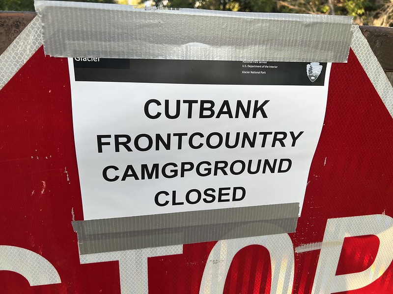
On Wednesday we got up at 5am, had a quick breakfast, then hit the road. We drove to the Cut Bank Trailhead for today’s hike. We had stopped at the St. Mary Visitor Center yesterday, told them we were doing Triple Divide today, and asked if there was anything we needed to know. Nope, nothing special we need to know about, we were told. So I was not happy to discover that we could not actually reach the trailhead proper. I knew that the Cut Bank Campground near the trailhead was closed (I think because of staffing issues), but what I didn’t realize – and what the VC staff neglected to tell us – was that the road was closed as a result of the campground being closed:

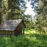
We had to park here at this ranger cabin, half a mile back on the road:
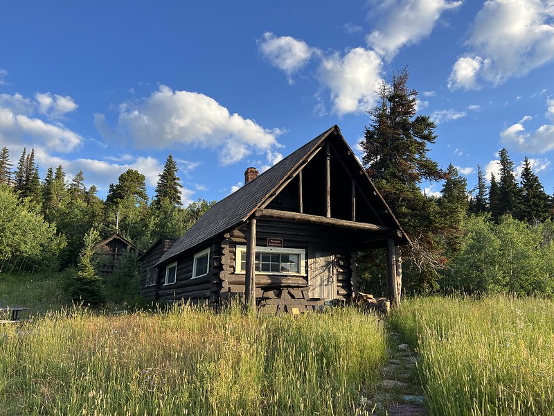
So we parked and set off down the road:
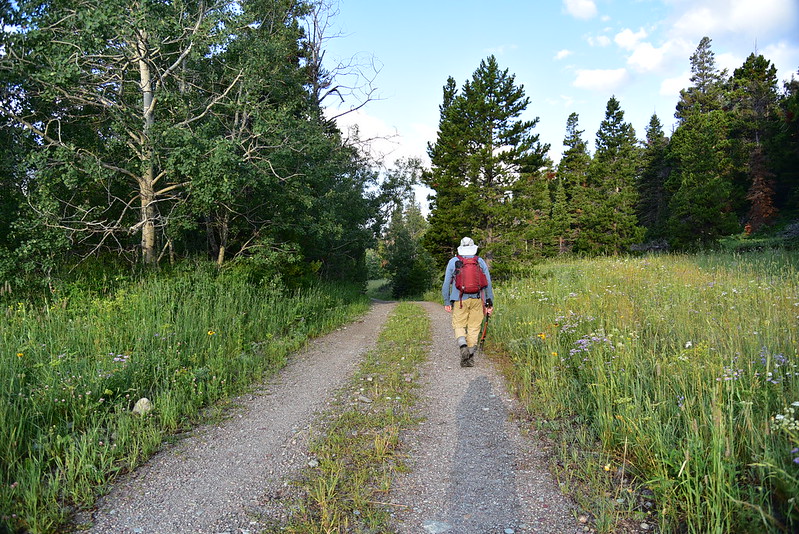
Then we reached the actual trailhead:
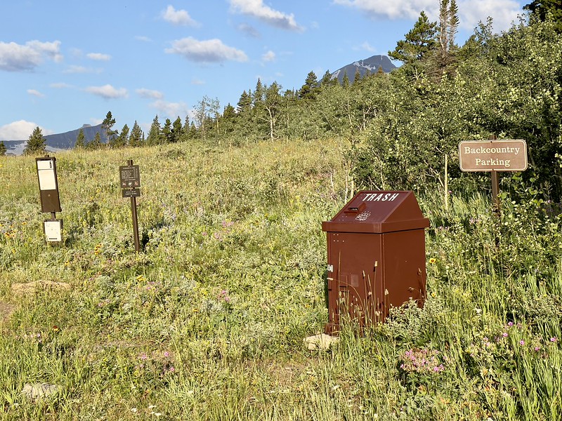
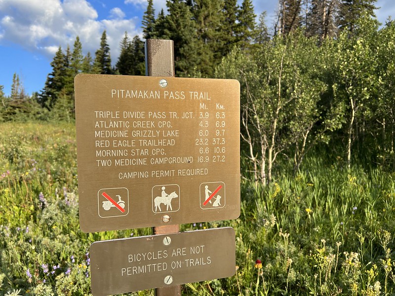
The trail set off through a lovely meadow backdropped by towering mountains:

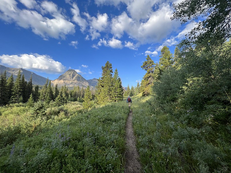
Cut Bank Creek was never far away:

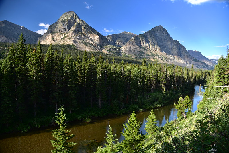
The trail entered the trees:

A few sections were brushy:

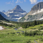
More meadows and mountains:
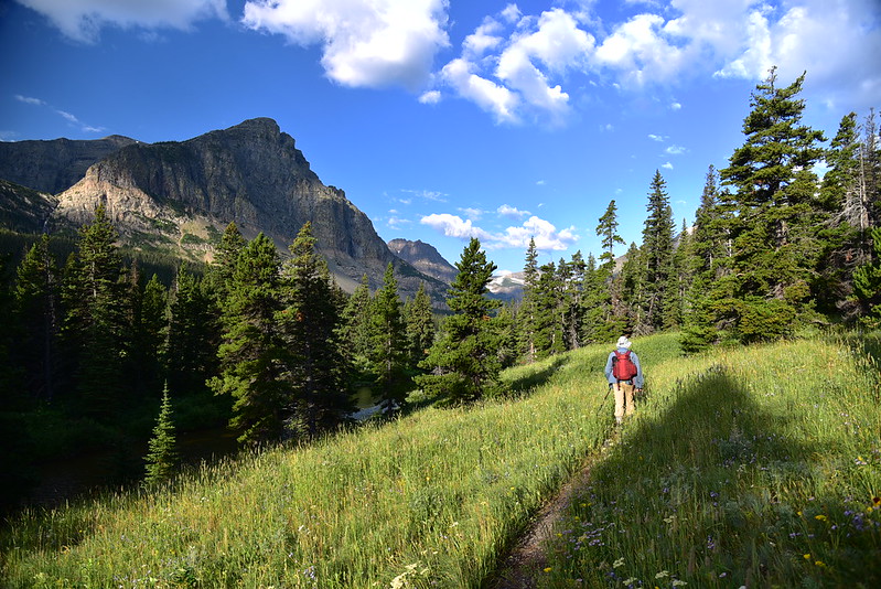


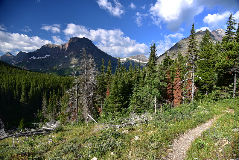
We saw lots of wildflowers, which was a pleasant surprise:

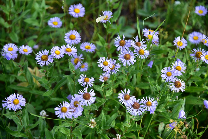
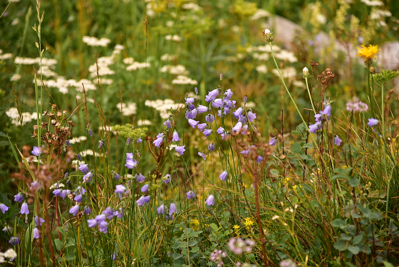
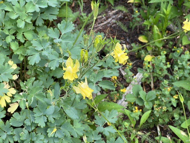
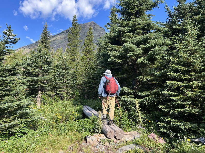
We saw signs of recent trail maintenance. Thank you, trail crews!

There were several creek crossings:
Then we reached the junction where we left the Pitamakin Pass Trail and turned right onto the Triple Divide Pass Trail:
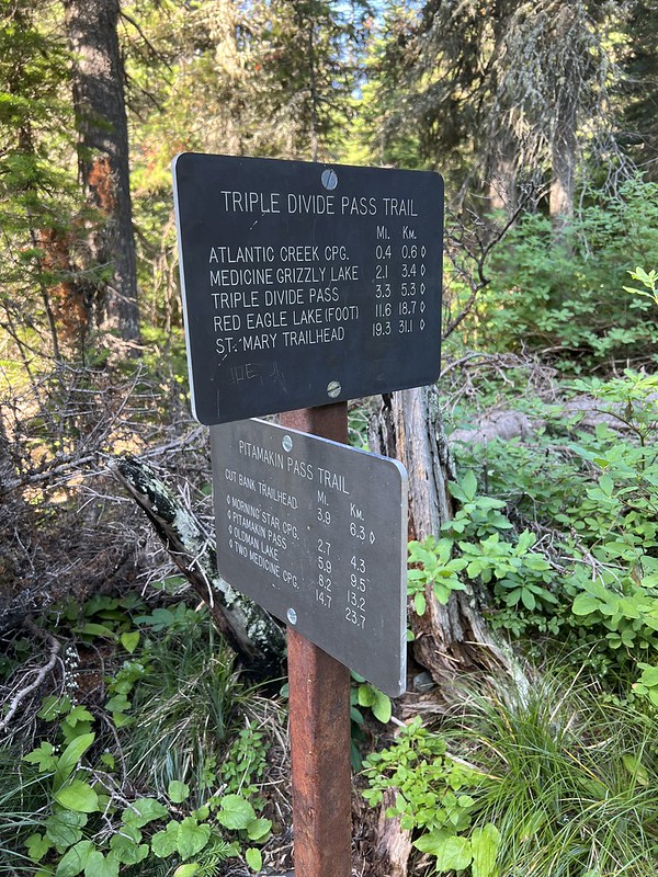
Just after that we passed the Atlantic Creek Campground. There’s actually a helpful campground map showing you were things are! For someone used to hiking in the national forest, I just never see this kind of helpful signage:

Five miles from the trailhead we reached the junction where the trail to Medicine Grizzly Lake headed to the left. We went right:
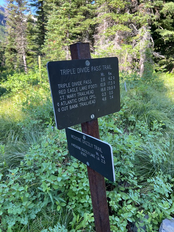
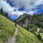
The trail had been pretty flat up to this point, but now we started climbing:

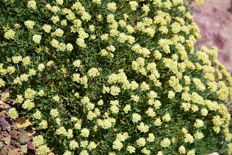
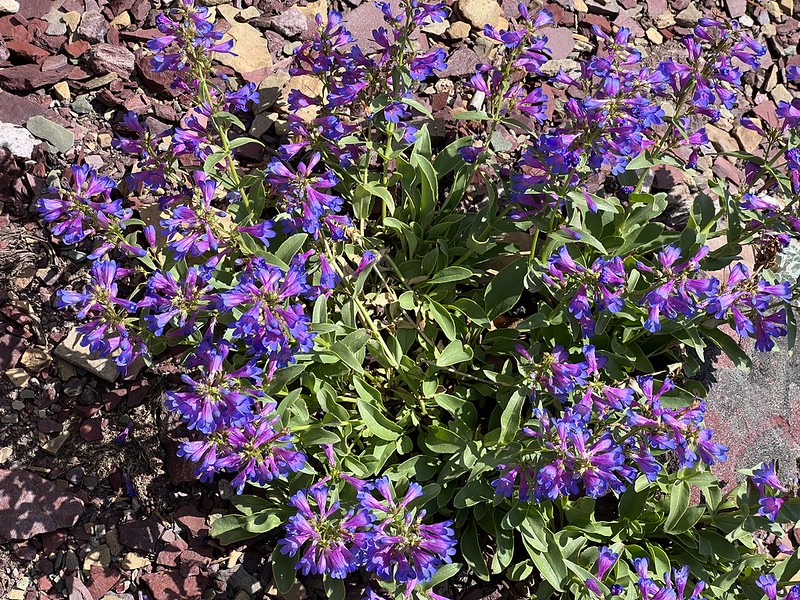
The wildflowers and the views along this stretch were really fantastic:
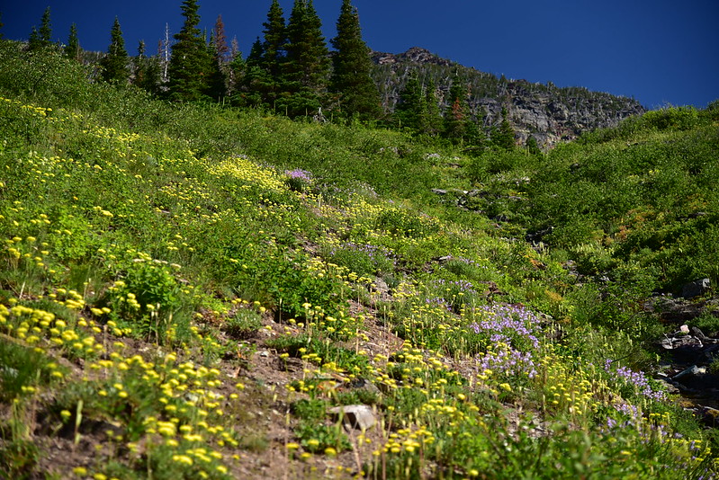


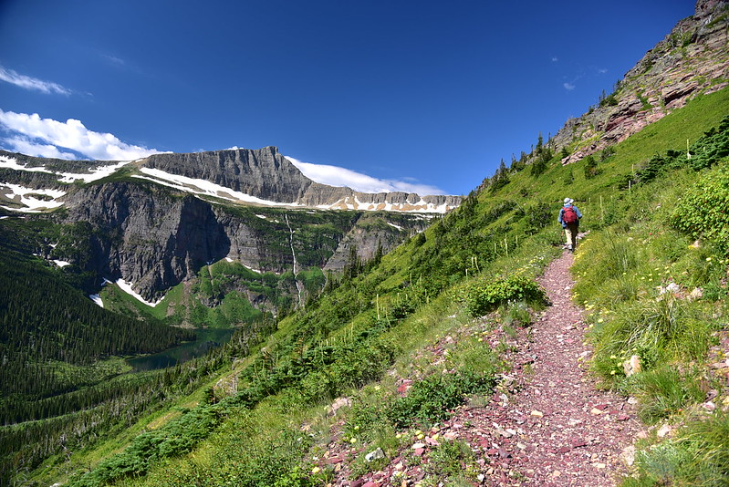
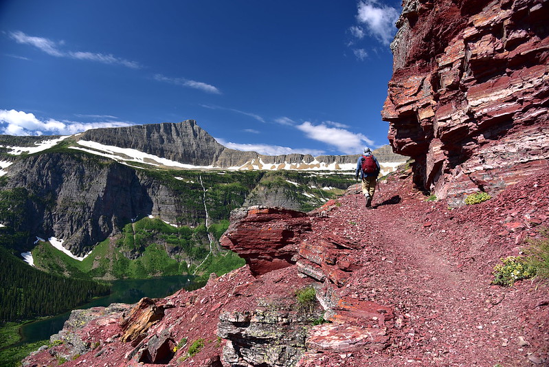
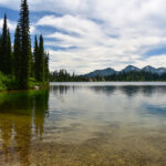
We could see Medicine Grizzly Lake far below us:


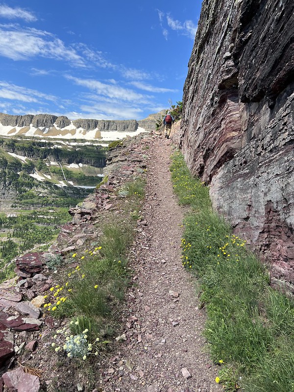
At one point we passed a small trail crew working on clearing rocks from the trail and thereby widening the tread. We thanked them for their work and kept hiking:
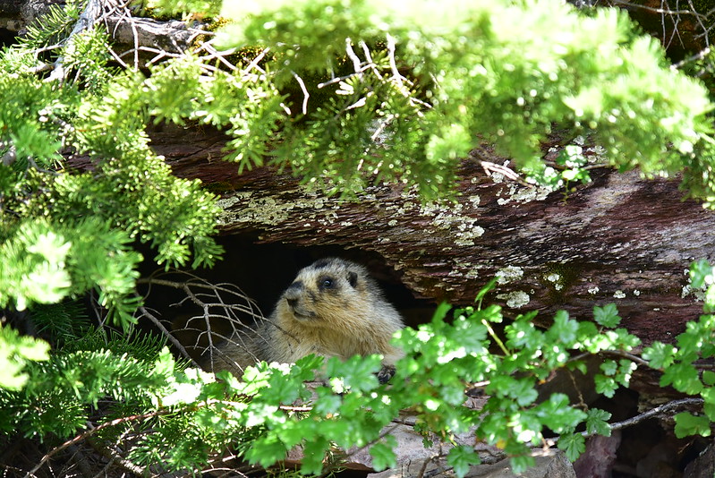
We spotted a marmot in the rocks by the trail:

Less vegetation the higher we climb:
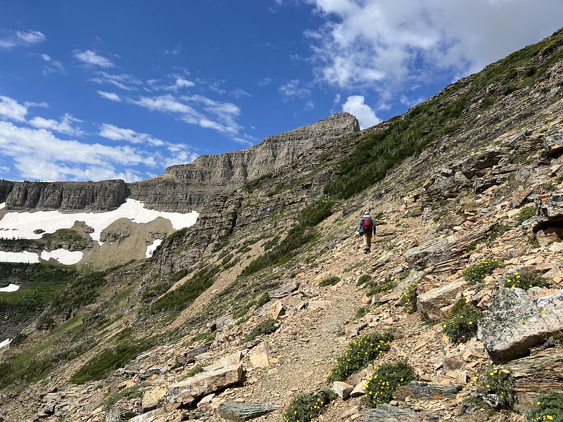
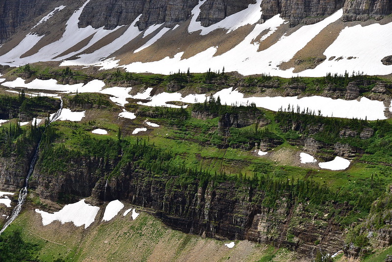
This “wall” above the lake was really cool. Those trees are tenacious!
The pass is in sight just ahead!

It was a long, hot, shadeless climb, but we finally made it! It took us 5 hours to go 7.6 miles and gain 2,350’ (nearly all that elevation gain was in the last 2.5 miles; that part took us just over two hours). And now I should explain the significance of this spot. The pass is named after the peak above it. Triple Divide Peak is unique because depending on which side of the mountain the rain falls, that water may end up in one of three oceans. Out of sight on the other side of the peak water flows down Pacific Creek and eventually, many hundreds of miles later, into the Pacific Ocean. Here on this side of the peak water ends up in Atlantic Creek flowing out of Medicine Grizzly Lake. And to the north water flows down Hudson Bay Creek. You get the picture. Pretty cool!
The views from the pass were stunning. This is looking back the way we came:
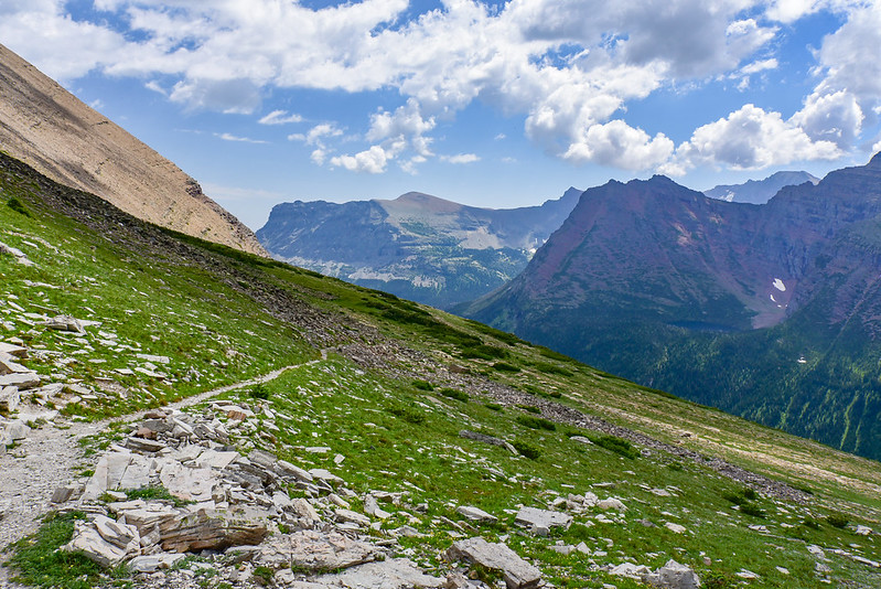
Looking south at Razoredge Mountain (the lake is out of sight below):
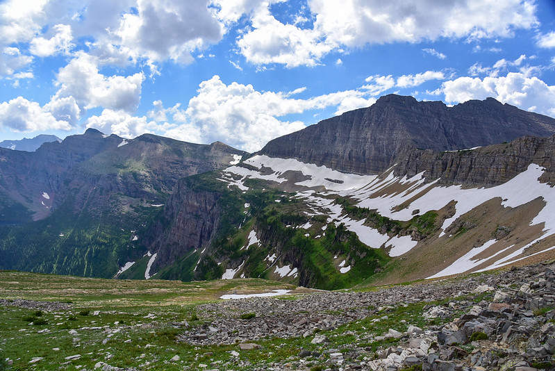
Looking down the other side, down the drainage of Hudson Bay Creek. Red Eagle Lake is somewhere out of sight around the corner down there:
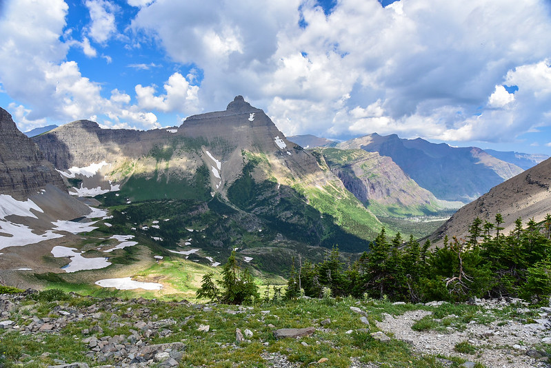
Looking up towards Mt. James:

Looking up towards Triple Divide Peak:

A curious marmot hung out nearby:


The afternoon clouds continued to build as we took our break here:

As much as I wanted to linger here for hours, we still had a long afternoon of hiking ahead of us to get back to the car. Plus I had convinced Greg to save his wildflower botanizing for the hike out so we could finish the hot uphill climb before the weather got hotter. So we packed up and headed back down. Medicine Grizzly Lake far below looked so inviting. I wished we could go there and dip our toes in, but that would have added three more miles onto an already long day:


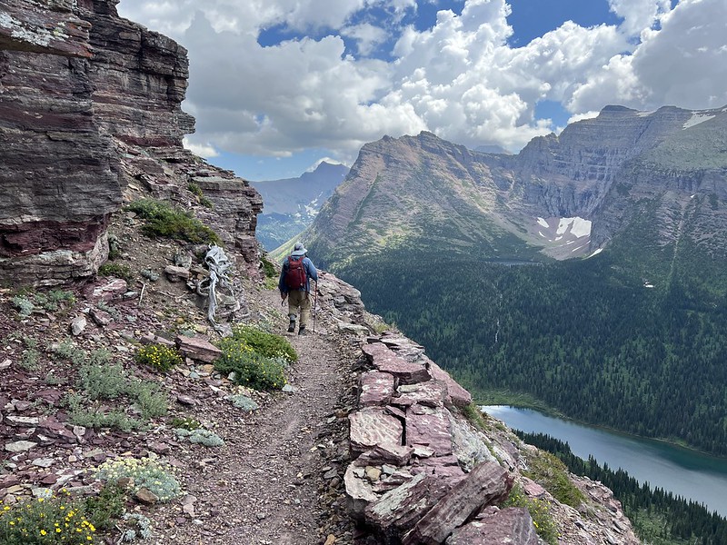
The views were just as spectacular going in the other direction:
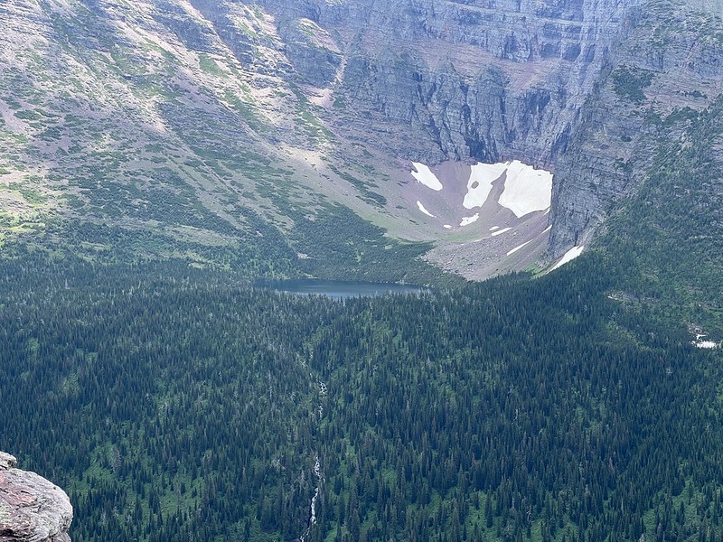
We could see this unnamed lake in a bowl high above Atlantic Creek:
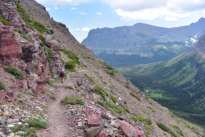


Finally the descent was over and it was flat hiking back to the car. My feet and legs were sore and tired and I was ready to be done about three miles before the trailhead, but we had not choice but to keep trudging on. We kept getting glimpses of Cut Bank Creek and I wanted nothing more than to soak my tired feet in that cold water:

This is the longest day hike I’ve ever done, but it was definitely worth it. Beautiful wildflowers, spectacular scenery, and hardly any people. Long hard hike, but it was amazing.
Gaia stats: 15.2 miles, 2,360′ elevation gain
Video:
