Thursday, July 13, 2023
Today I headed up into the Rogue-Upmqua Divide Wilderness to hike the Acker Divide Trail.
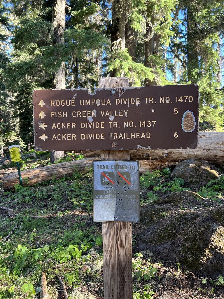
I drove up Road 530 to the trailhead at the sharp switchback:
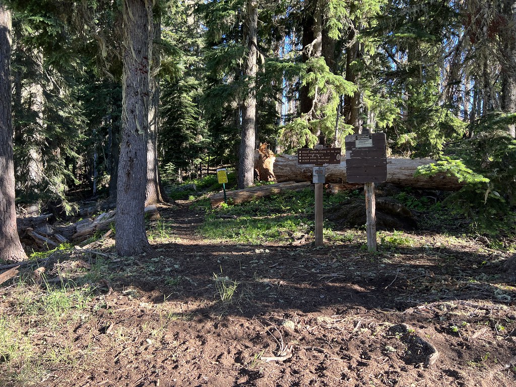
Two trails start here. I’d be heading down Acker Divide Trail 1437:
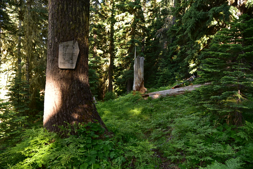
The trail immediately entered the wilderness:
Then entered the burn area from the 2017 Pup Fire:


I crossed Lonewoman Creek, which actually had water in it:

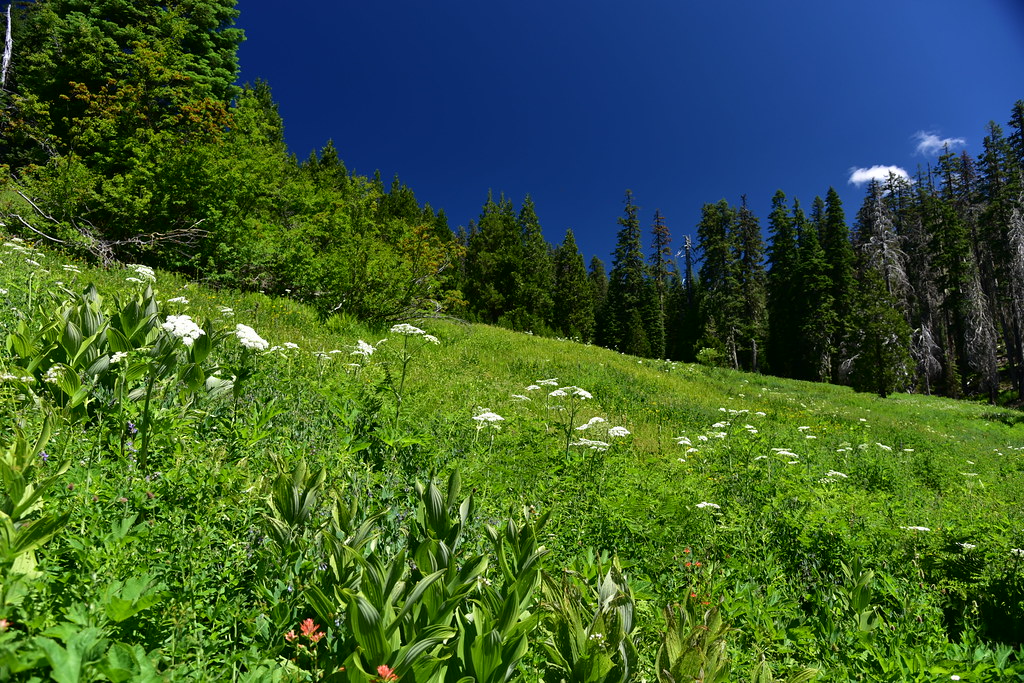
After that the trail traverses across a large meadow.

I saw this lovely butterfly with translucent wings:

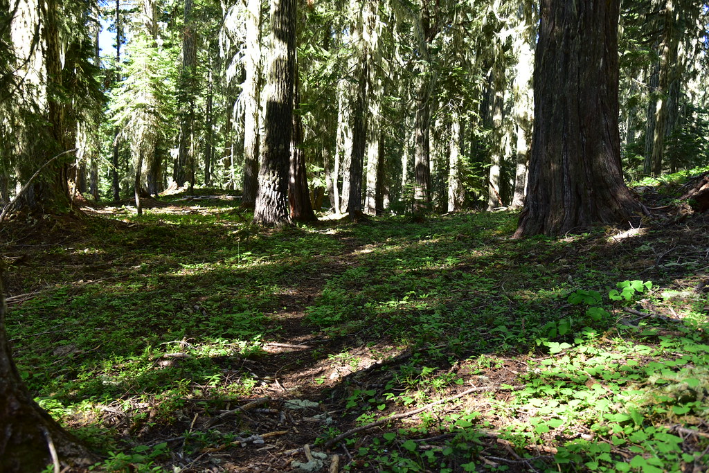
Back in the forest:
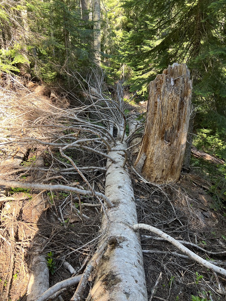
There was plenty of blowdown to deal with:

I passed the junction with Pup Prairie Trail 1434, which probably doesn’t see much use:

The forest was pretty green and lush:

This is Toad Lake, according to the map, but I didn’t see any water. Maybe it’s hidden beneath the vegetation:

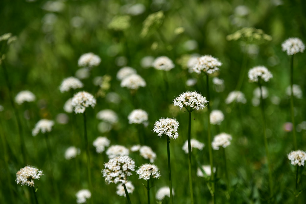
There were some nice wildflowers:


I reached Cripple Camp Shelter:


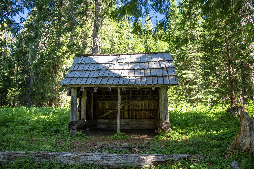
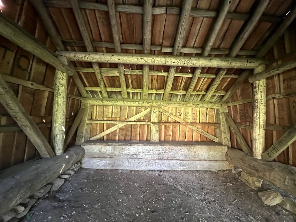
The shelter seemed sturdy and sound, but it had unfortunately fallen victim to vandalism:


The fire ring in front of the shelter looked like it had not been used in quite some time:

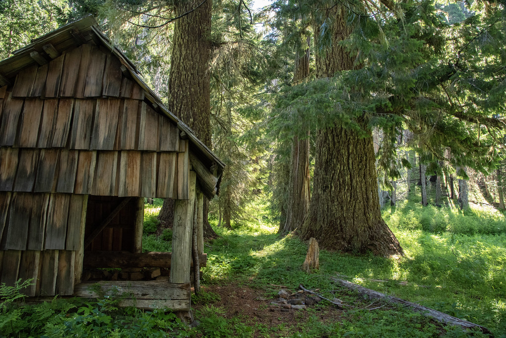
It’s hard to tell from a photo, but these douglas firs were enormous:


The meadow in front of the shelter:

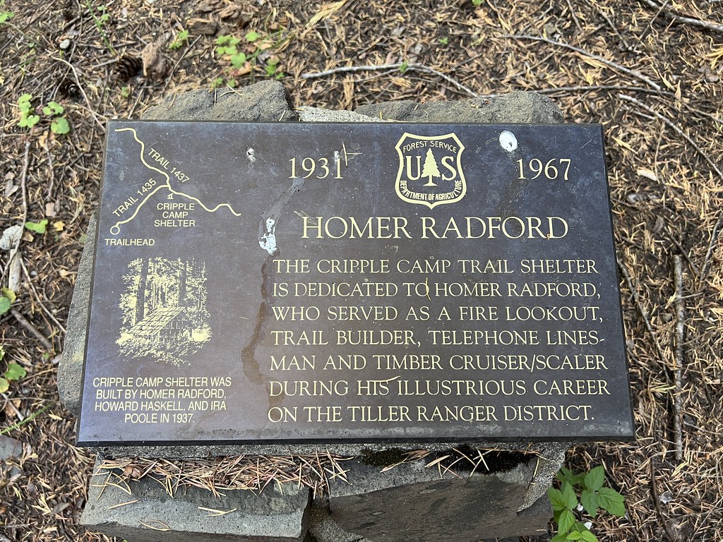
Just beyond the shelter is the junction with Cripple Camp Trail 1435 where I turned left and soon reached the trailhead on Road 400 where this plaque has been placed:
I headed back the way I came. The light was better in the big meadow when I passed back through:


This was a nice hike. I don’t think this wilderness sees many visitors, which is too bad.
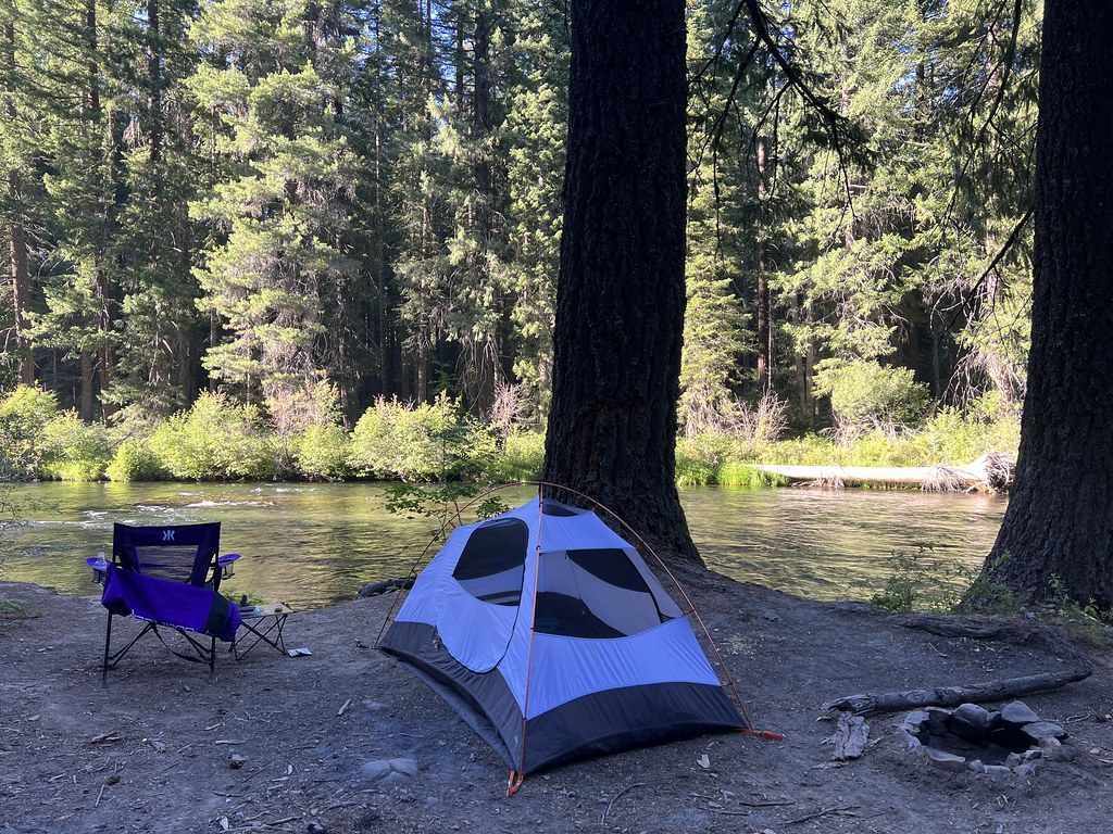
I spent the rest of the afternoon relaxing at my lovely riverside campsite:
Gaia stats: 6.7 miles, 915′ elevation gain


