Friday, July 14, 2023
This morning I packed up camp and headed to Garwood Butte.
I initially tried to drive up road 370:

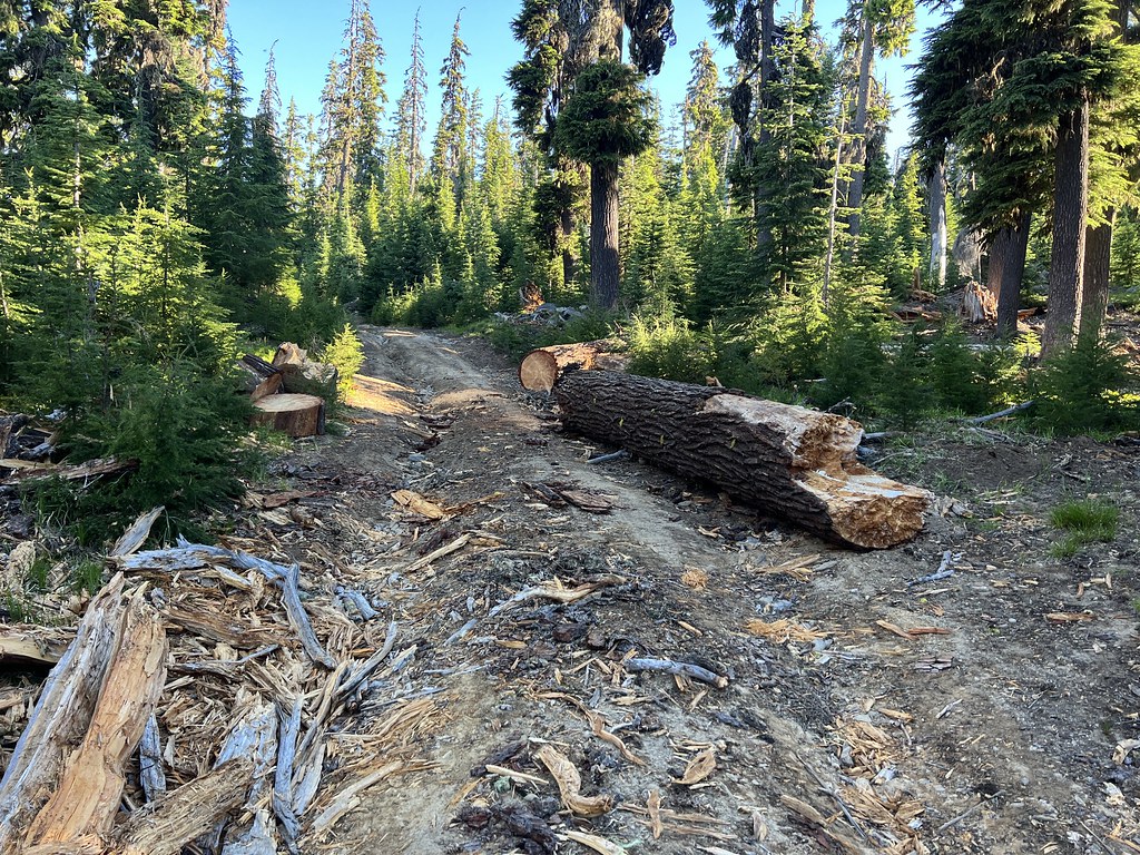
There are a lot of rough roads I’ll wrestle the Subaru up, but I decided this wasn’t going to be one of them. I parked and started walking:

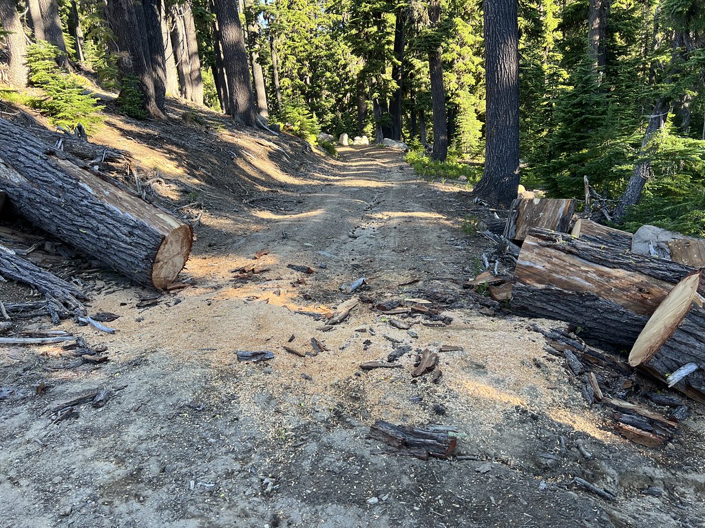
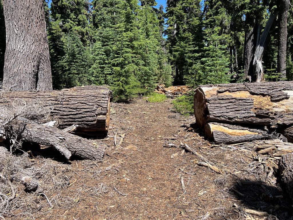
Someone had been up here this season and cleared some blowdown:

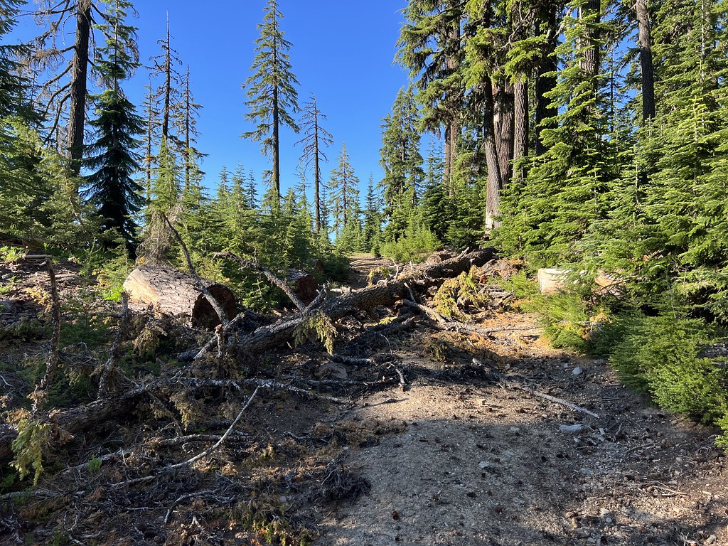
Apparently the guys with chainsaws didn’t make it this far. Good thing I didn’t try to drive since there was nowhere to turn around here:
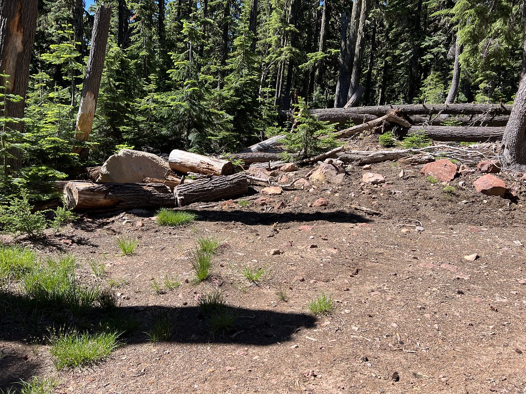
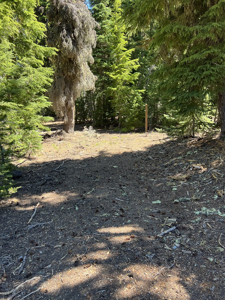
After 1.1 miles of road hiking I reached the start of the trail, which was not marked in any way:


I walked past the trail just a little bit and saw that there is a wide spot to park if you manage to drive this far:
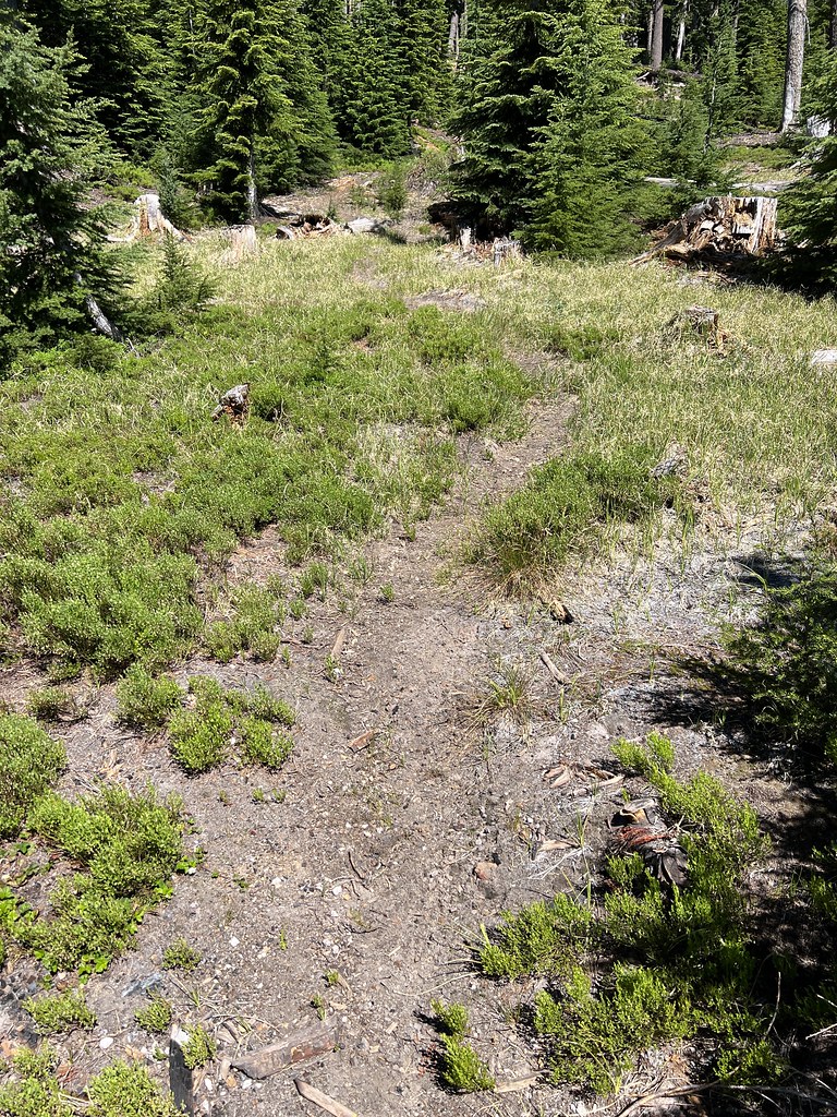
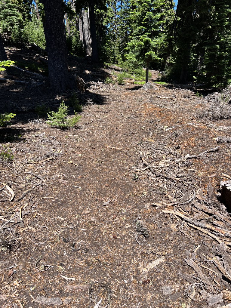
The trail was in surprisingly good shape:

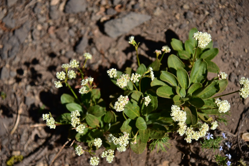
I saw this lovely patch of phlox:

I saw plenty of evidence of dirt bikes coming up here. In this spot they had caused some damage and erosion by cutting the switchback:

Almost to the lookout:

Made it!
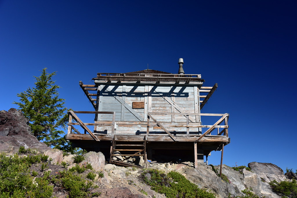
I was surprised and delighted to see this sign on the lookout that said “Rehab in progress. Please leave things as they are. For info: Angie Snyder, N. Ump. Dist.”

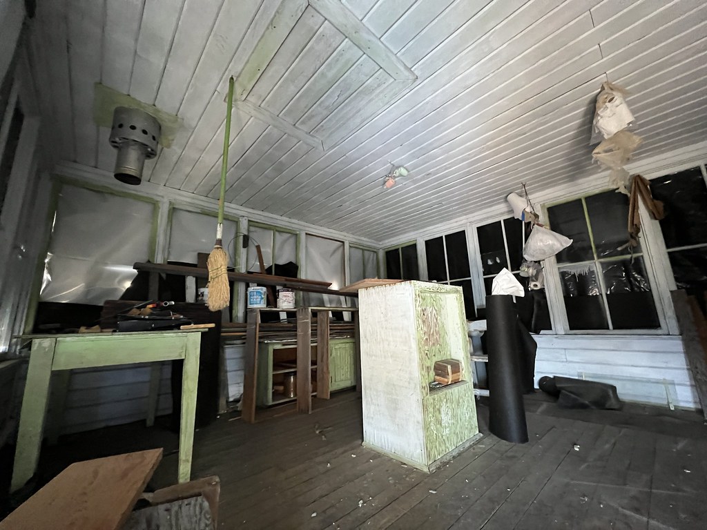
Getting the Forest Service to answer my questions is always difficult, but I later learned that this sign is old and outdated. Angie retired back in 2015. It sounded like there is no work currently being done on the lookout. It wasn’t possible to raise the shutters, but the door was unlocked so by crouching on the catwalk I could see inside beneath the bottom of the shutters through the open doorway. There were still rehab supplies in there:
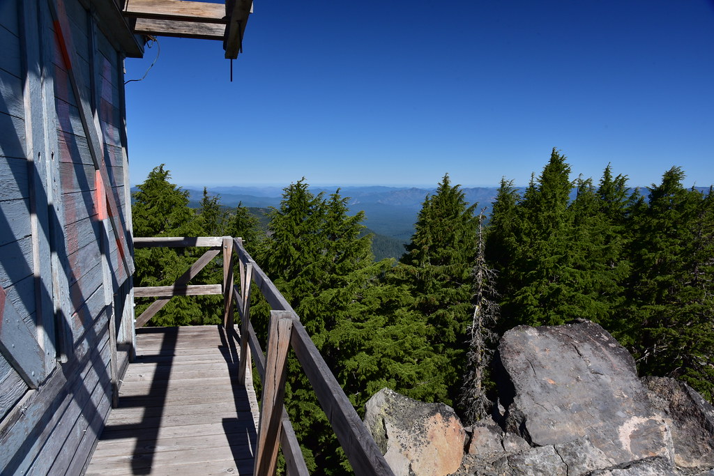
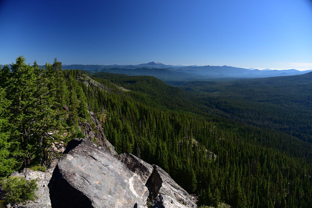
It was a gorgeous day and the views were fantastic. Looking south:

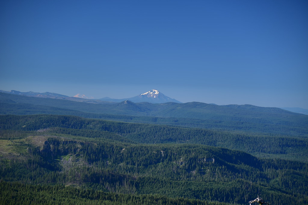
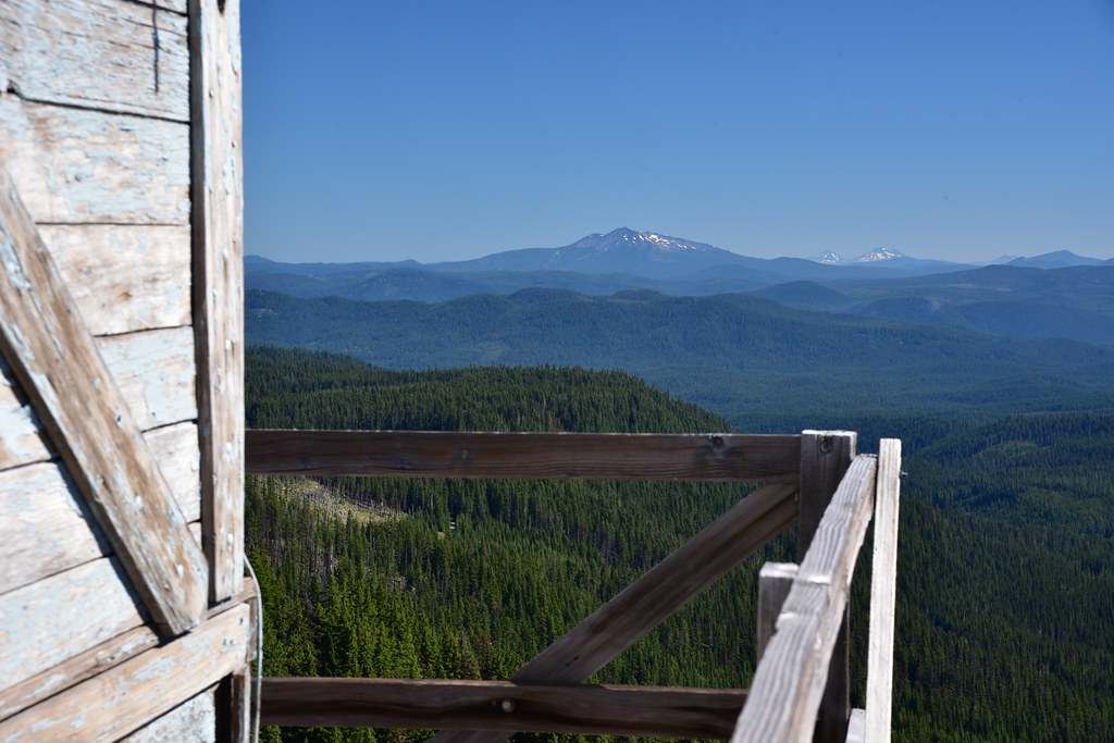
Distant Mt. Shasta at left and Mt. McLoughlin at center:
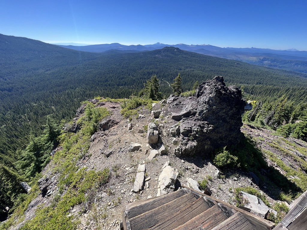
Looking west:

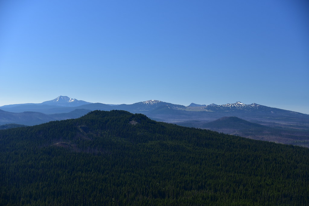
Looking north at Diamond Peak, the Three Sisters, and Maiden Peak:

Looking east at Mt. Bailey, which was once the site of a lookout. That’s a hike I’d like to do sometime:

Looking southeast at Mt. Scott, Llao Rock, Garfield Peak, and Hillman Butte:
The old outhouse is missing its door, but still standing:

I hiked back down and reached the road. Rather than hike the road back I tried the old trail, which turned out to be pretty easy to follow:
This trail shortcuts a switchback in the road so when I reached the road again I followed it back to my car. After that I explored the lower section of trail that shows up on the map between Roads 3703 and 370. It was actually pretty easy to follow:
Although this doesn’t appear to be receiving maintenance anymore, it did at one time:
Gaia stats: 4.4 miles total for road hike and lower trail, 1,000′ elevation gain


