Friday, June 18, 2021
Today as part of my goal to visit every publicly-accessible lookout in Oregon I visited Pearsoll Peak. It was not an easy journey.
The trail starts at Chetco Pass. I knew that Road 087 from McCaleb Ranch (a boy scout camp at the bottom of the road) up to the pass was rough. In 76 Day-Hikes Within 100 Miles of the Rogue Valley, by Art Bernstein (1987) he says “The four-mile route requires four-wheel drive and some driving skill. It’s very steep and deeply rutted, with spots of loose rock. As a hike, it’s hot, dusty and tiring.” That was 34 years ago and although more recent reports confirmed that it was still rough, I had also heard that the road’s condition had improved slightly due to some quick and minor repairs that were done to enable access for firefighters during the 2017 Chetco Bar Fire. The only post-fire report I could find was this one from July 2020: “The road from McCaleb Ranch to Chetco pass is driveable for any moderate clearance SUV (e.g. Element, Subaru, etc.). Several of the washouts have new rock fill. Just go low and slow the whole way. It is rough though!” Someone on Facebook also reported last year having made it up the road in a RAV4.
With that information in hand I was prepared to drive as far up the road as I could, maybe even all the way to the pass. However as I approached the vehicle bridge at McCaleb Ranch another vehicle was crossing. His window was down and I had to stop to let him pass anyway, so I asked him if he had just come down the road from Chetco Pass. In response he looked at my Subaru and said “I wouldn’t take that up there.” He said he lived at the boy scout camp and told me that he recently had go up the road to rescue a guy in a two-wheel-drive Dodge pickup. Then he looked at my car again and repeated “I wouldn’t. I wouldn’t.” He said the road was “pretty gnarly” and that the grass was six feet fall “and it’s kind of a fire hazard.” He mentioned a ditch and said the winter rain had created a bunch of trenches. Yikes, that sounded worse than I thought. I figured that running into this guy was a sign that I shouldn’t try to drive it. He lives here, he knows best. (Wrong.)
As I would come to find out the road is rough for sure, and steep in a few places. There were no trees across the road, and only a few trenches, as you’ll see from the photos below. An AWD high-clearance Subaru with good tires could make it on a dry day. This is not my first rodeo and I’ve driven that car on plenty of rough roads, including roads worse than this one. Perhaps the ranch caretaker made a snap judgement about me as 1) a woman, and 2) someone from the city who doesn’t know better. I was pretty annoyed at being misled and wished I had ignored his advice.
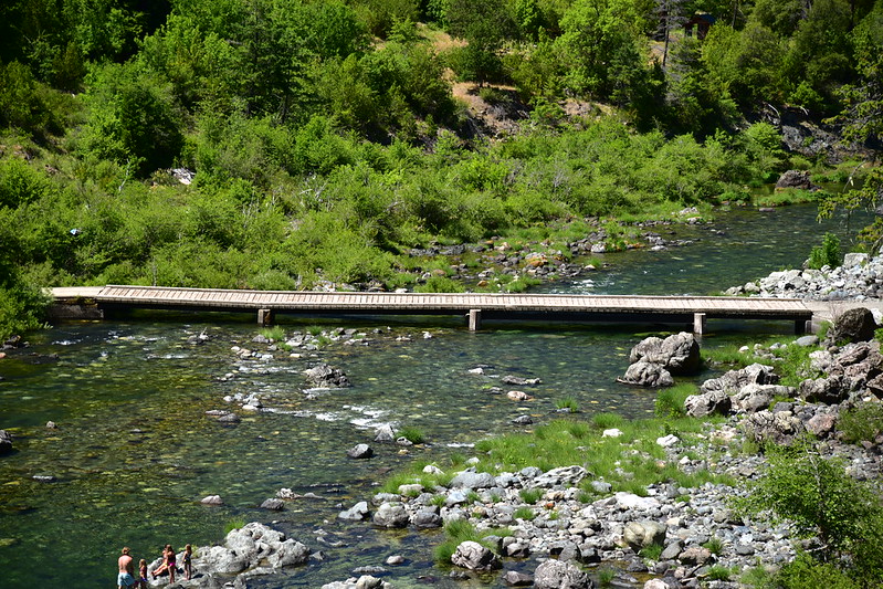
Anyway, I crossed the bridge:
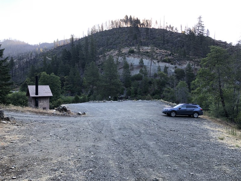
Then parked at the bottom of the road and started hiking at 7:15:
There’s a gate here that is only open in the dry season in order to keep out the root disease that kills Port Orford Cedar. The sign on the gate says “The area behind this sign contains valuable stands of Port Orford Cedar. Vehicle traffic during the wet season can spread the disease.”

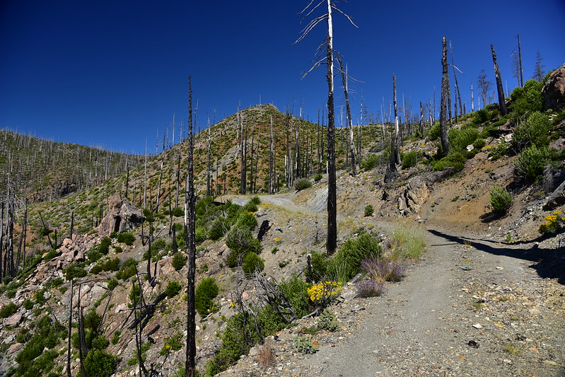
It was a long hot trudge up the road. This area burned in the 2002 Biscuit Fire, so with the exception of a few trees that survived it was shadeless:


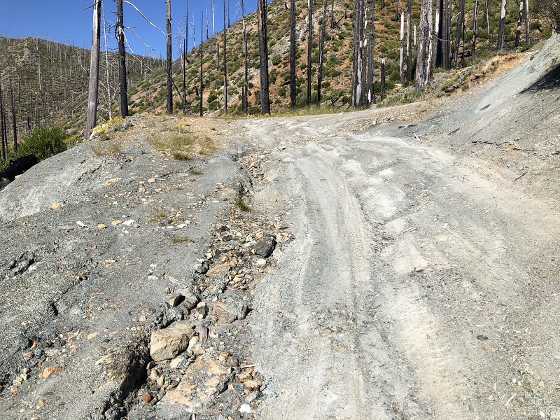
There were several spots where it looked like ditches had been filled in:

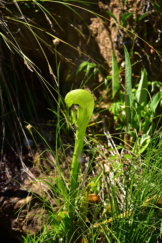
I saw some darlingtonia where the road crossed a creek:
This may have been the ditch/trench the caretaker was talking about. I had envisioned something much bigger cutting across the road. Of course these never look as bad in a photo as in real life, but it would have been doable in the Outback:

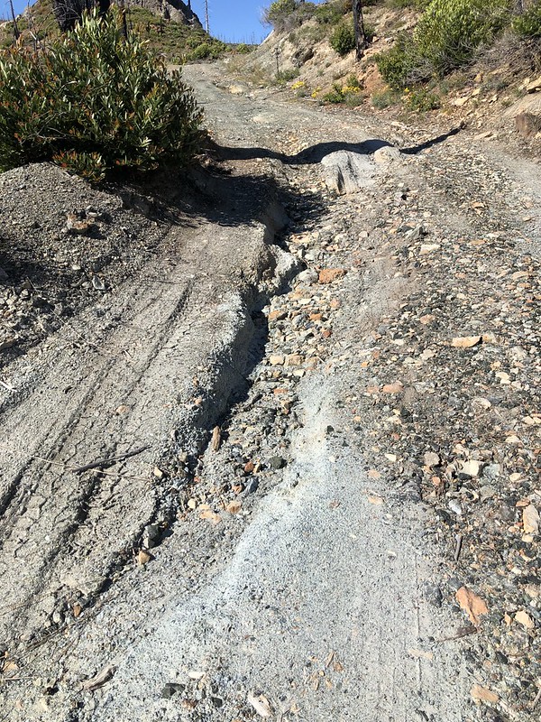
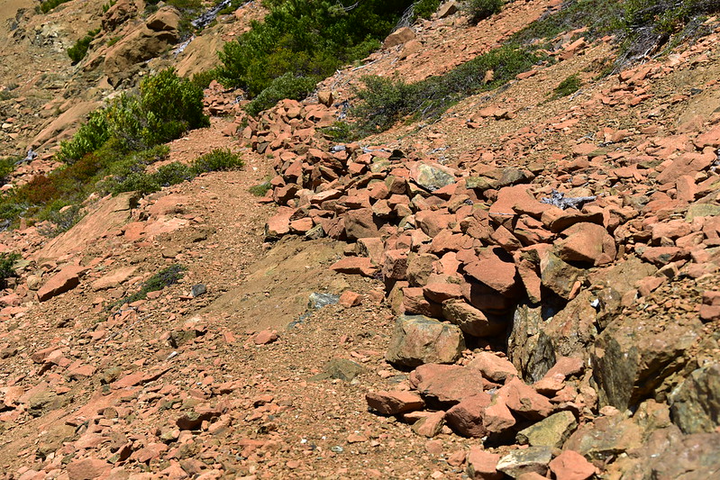
One more trickier ditch a bit further along, but still nagivable:
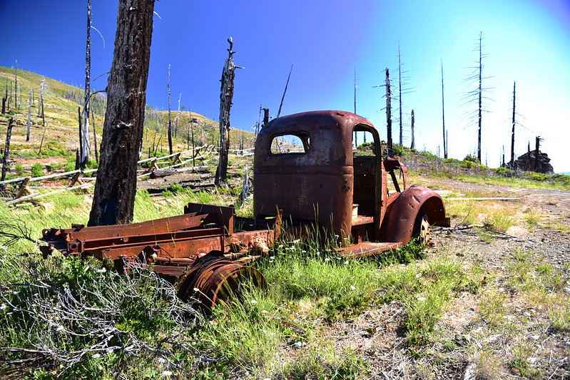
After 4.5 miles and two hours and 20 minutes of road hiking I finally reached Chetco Pass. There’s an old truck here, now thoroughly burned by the fires of the last 20 years. I joked to myself “if he could make it up in here in that, my car definitely could!”


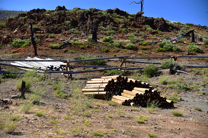
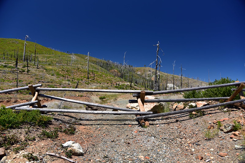
Old mining roads branch out from here in several directions, but vehicle traffic is no longer allowed beyond the pass and the entire area is encircled by a wooden fence that was installed a few years ago:

The leftover fence materials are still here:
The hike heads north from the pass behind the fence:
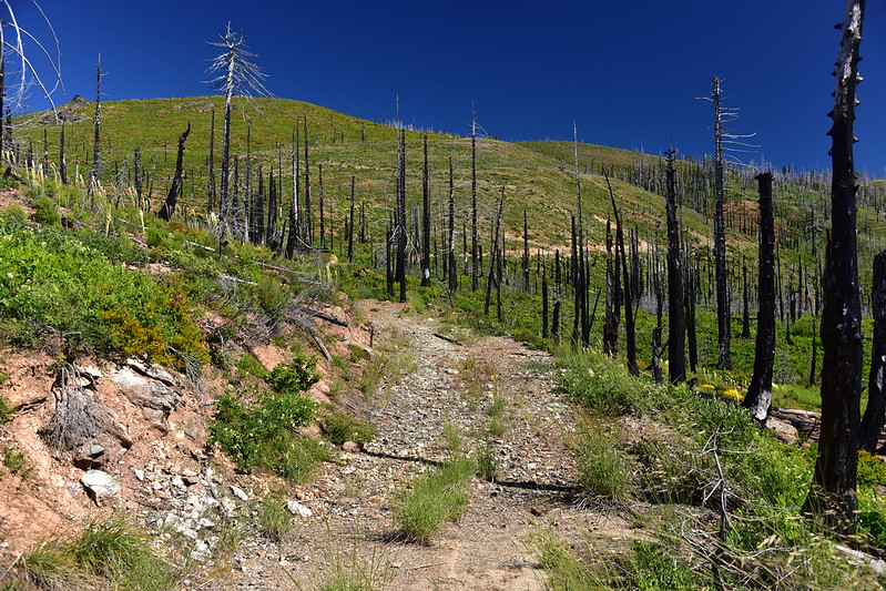
The first part of this hike follows an old mining road that heads north. Believe it or not at one point in time you used to be able to drive this road, as crazy as it seems. From How to Rent a Fire Lookout in the Pacific Northwest (2005): “At Chetco Pass turn right and proceed 1.2 miles to Billingslea Junction, which is signed. At this junction veer left. Travel 0.7 miles to a very small parking area on the right side of the road.” Even if the road wasn’t blocked off, it is no longer drivable in a normal vehicle anyway. I should also note that I didn’t see a single sign the entire hike:
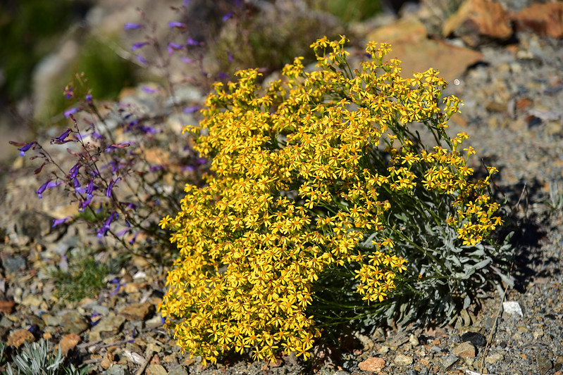
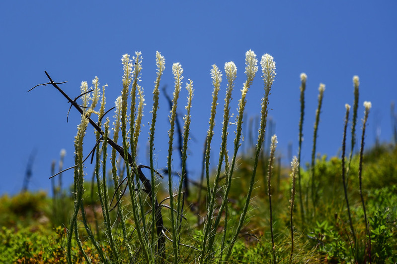
Wildflowers:

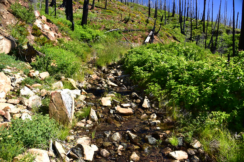
At one point Pearsoll Creek flows down the old road:
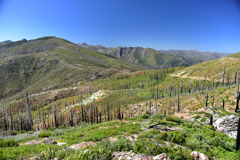
This area burned in the 2002 Biscuit Fire so there was no shade and it was hot hiking:


Looking back towards Chetco Pass:

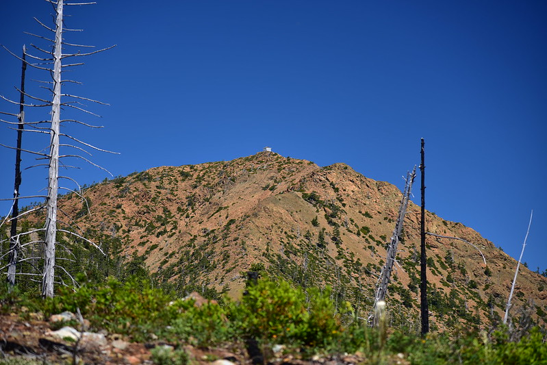
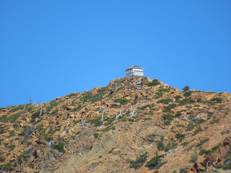
I came around a corner and there was Pearsoll Peak ahead of me:
I trudged on in the heat:
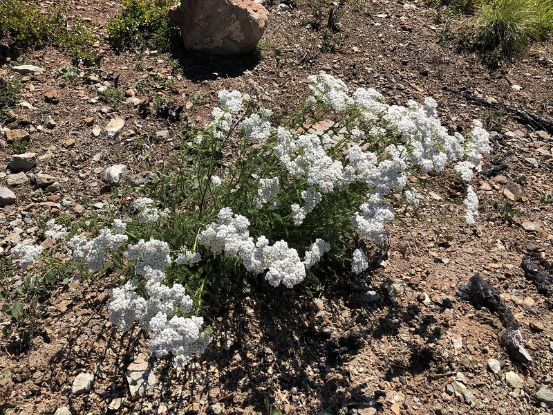
More flowers:


I could see the route ahead of me:

Last bit of old mining road:


The road ends at an old mining prospect:


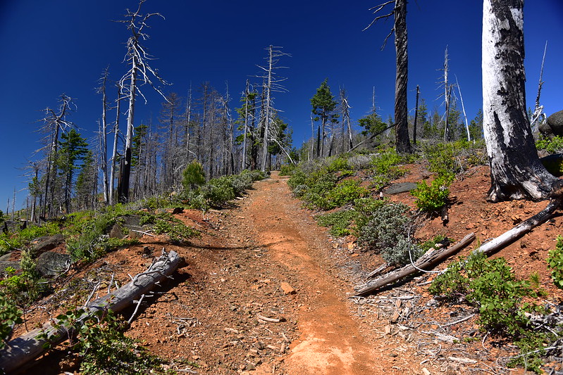
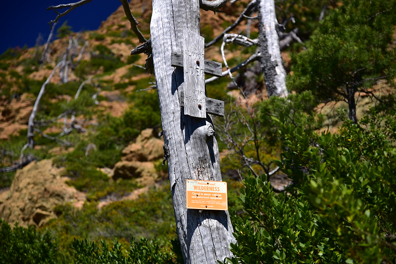
Where the road ends the trail begins, as well as the Kalmiopsis Wilderness boundary:
No shade here:
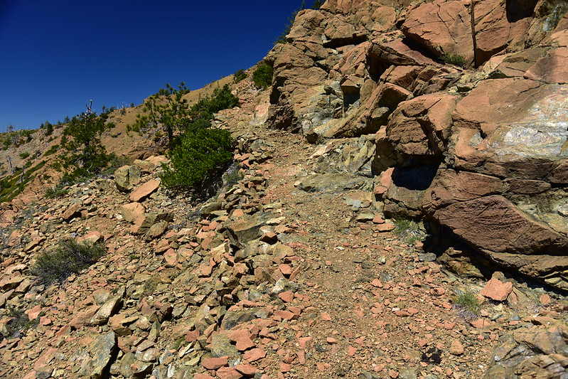
Someone (presumably the Siskiyou Mountain Club) has built some rock walls to keep slides from falling onto the trail:
Looking back along the trail (photo taken on descent):

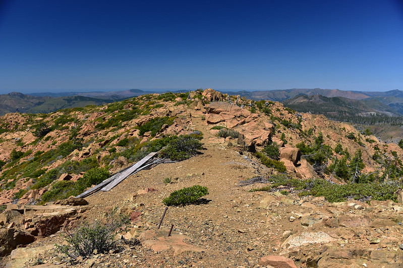
The trail switchbacked at a saddle and climbed the last bit to the summit:


The old lookout came into view:

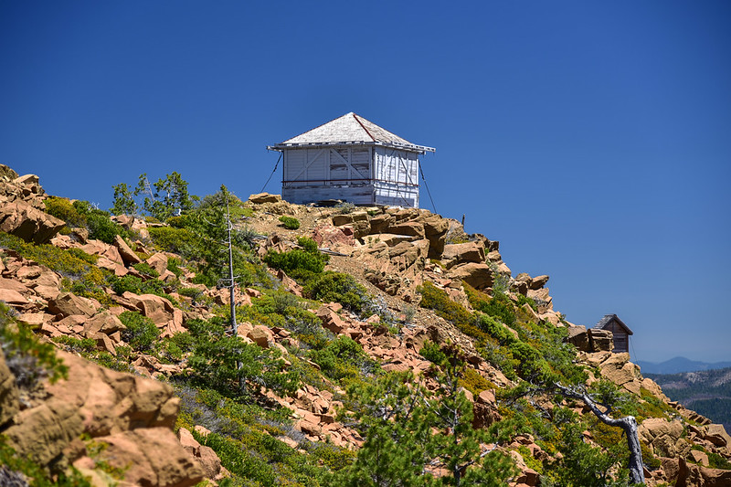
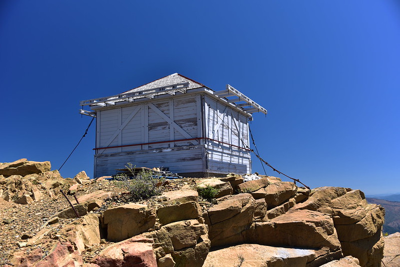
The wilderness boundary goes up and over the summit of Pearsoll Peak and the lookout stands just outside the boundary. Sand Mountain Society first did restoration work on this lookout way back in 1991, and they have worked on it several times over the years. It was all locked up during my visit so I couldn’t see inside. Some information online claims that you can reserve the cabin to stay in by calling the ranger station so I called the Wild Rivers Ranger Station afterwards to ask about this. They said that is not correct and that the lookout is not set up for overnight stays but that people could go inside and look around. I told him it was locked up, and he said there was a group doing some repairs and that once they were done the lookout would be open and unlocked.

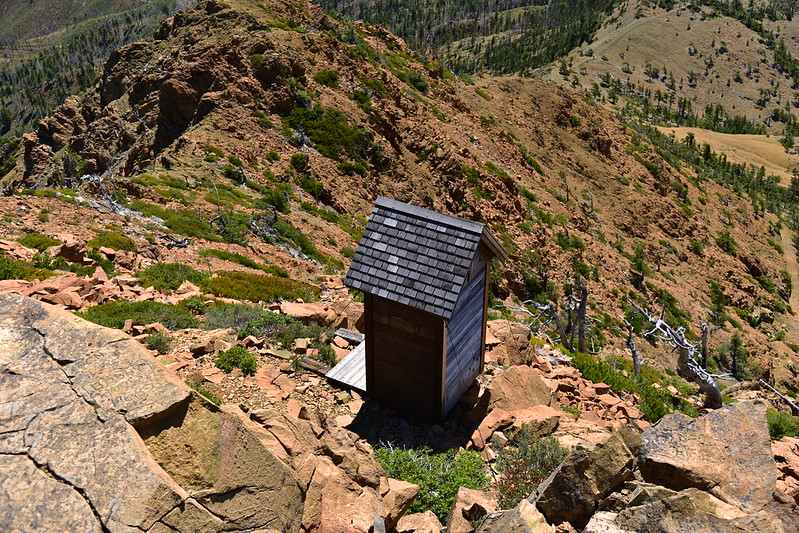
There’s a cute little toilet just downslope from the cabin:
Maybe these are the names of the people who staffed the lookout?

On this beautiful clear day there were 360-degree views from the summit: Looking west (with the Pacific Ocean just visible):
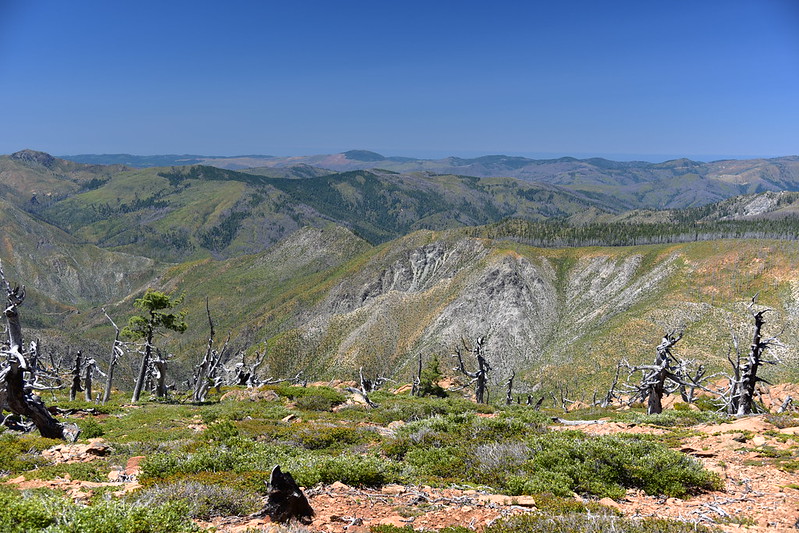
Northwest:
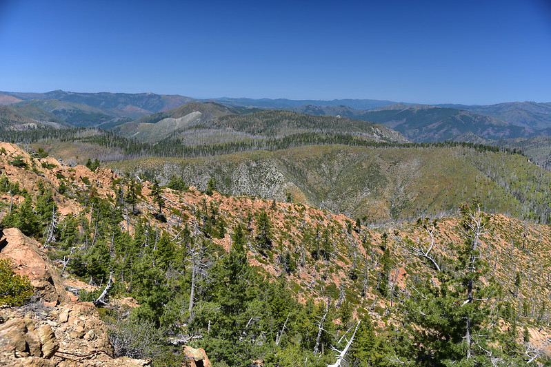
North:

Northeast:

Southeast:

Southwest:
Looking west across the summit from the lookout:
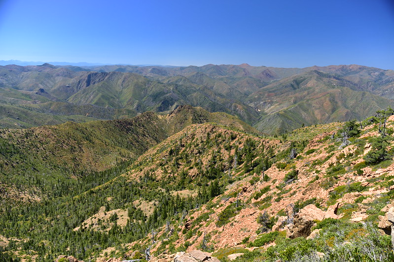
The Chetco River was far below (you can hike down to it from Chetco Pass, but it’s not an easy trek, I hear). In this photo Chetco Peak is left of center. Red Mountain is the pointy peak at far right.:
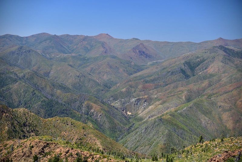
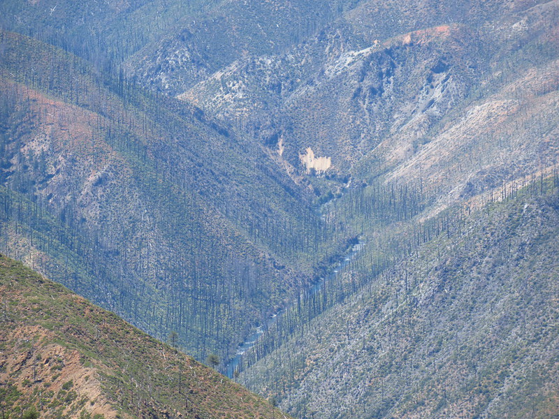
It was INCREDIBLY windy up there, so I positioned myself to let the cabin block the wind while I took a break and enjoyed the view. Much of the area I could see from the summit has been heavily impacted by fires. The 2002 Biscuit Fire burned 500,000 acres, including most of the Kalmiopsis Wilderness, then in 2017 some of the area from that fire re-burned again in the Chetco Bar Fire (191, 000 acres). The following year in 2018 the Klondike Fire burned 175,000 acres, this time east of the wilderness. I wish I could have seen it before it burned.
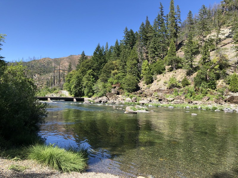
It was a long hot trudge back down the trail and the road to the car. I went for a dip in the Illinois River before driving away and that felt great!
Gaia stats: 14.4 miles, 4,000′ elevation gain


