Thursday, July 23, 2020
On our third day of hiking in the Idaho Selkirks we hiked up to Beehive Lakes.The trail starts off by crossing the Pack River on a footbridge:

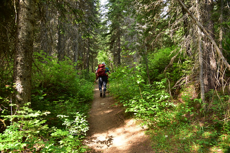
Then starts off on an old logging road that hasn’t been a road in so long that it’s hard to tell it was one:
We saw a few flowers including asters:

And penstemon:

At 1.3 miles we crossed Beehive Creek on this “bridge” of logs:


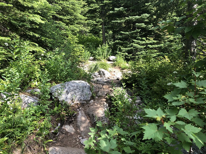
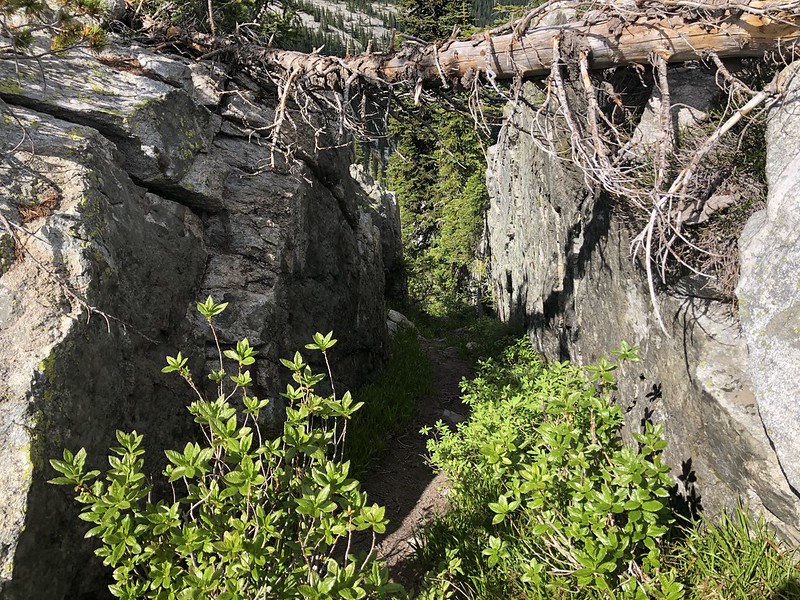
The trail started heading up some tight switchbacks and much of this stretch was really rocky and slow-going:
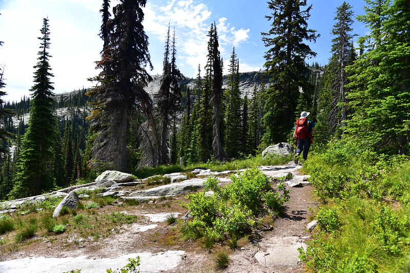
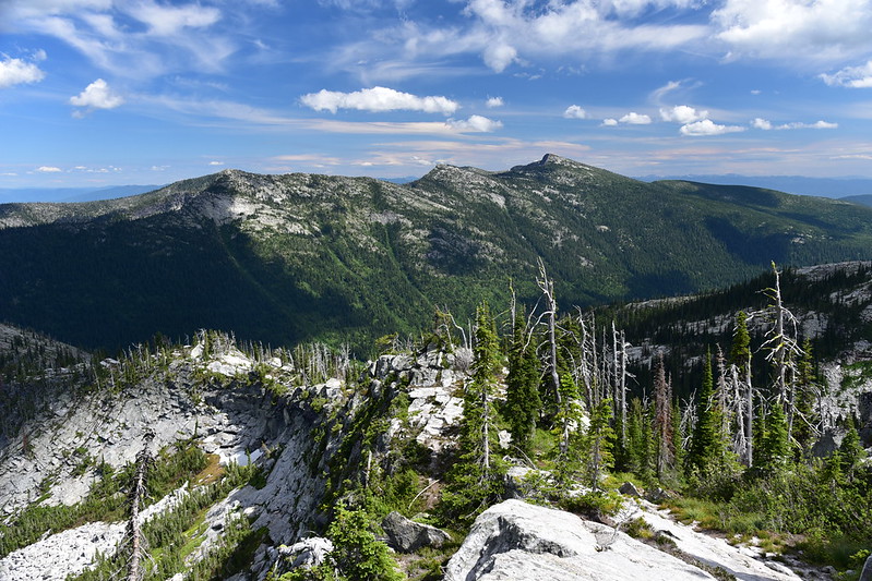
As we climbed the views started opening up:

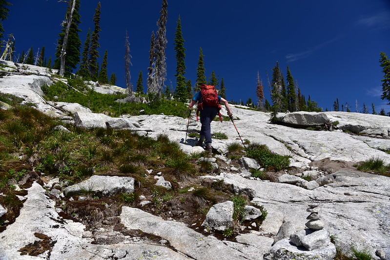
After 3.1 miles the trail ends at the bottom of a huge granite slope. We followed cairns and headed up it:

At the top we picked up the trail again for the last little bit to the lake:

We made it!
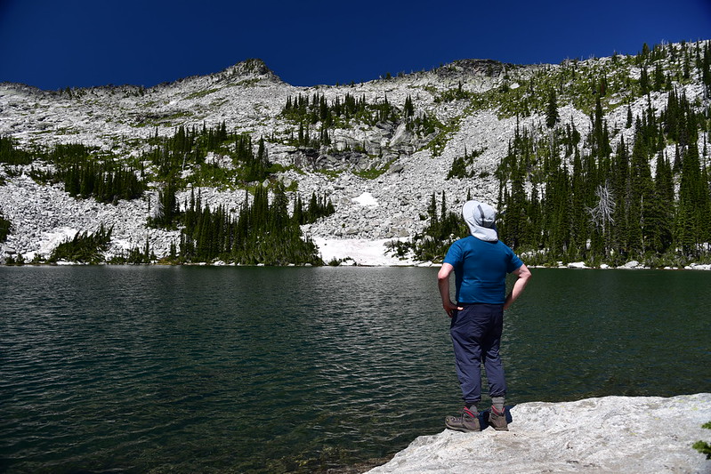
Even though it’s technically called Beehive Lakes (plural) there is really only one lake here. The other “lakes” that are being referred to are a series of tiny ponds that Beehive Lake flows through downstream from here. You can’t see them from the trail and I’m sure they wouldn’t be worth visiting anyway. Funny how little insignificant ponds like that can get names, but sometimes large lakes don’t get a name at all. Beehive Lake is VERY VERY popular. The area around the lake is heavily beaten down from many boots and tents. I bet this is a zoo on nice summer weekends.
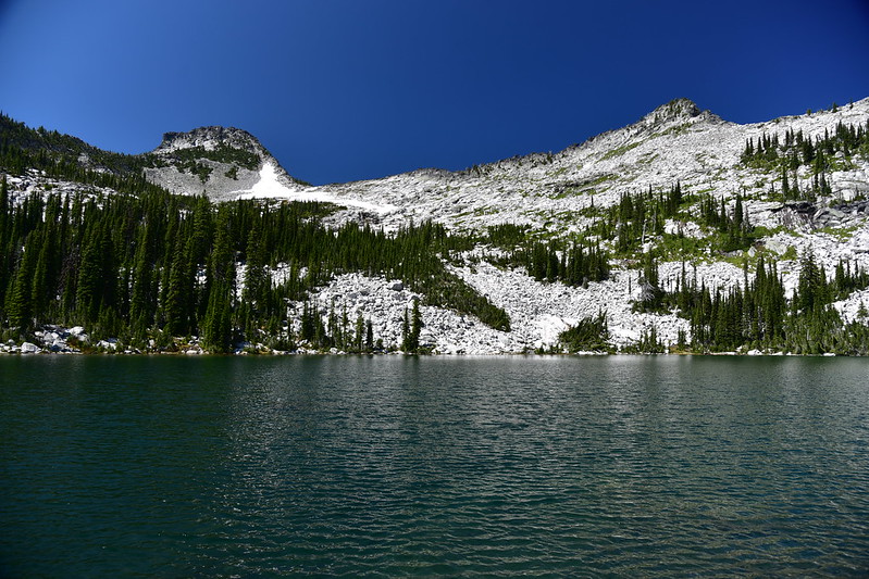
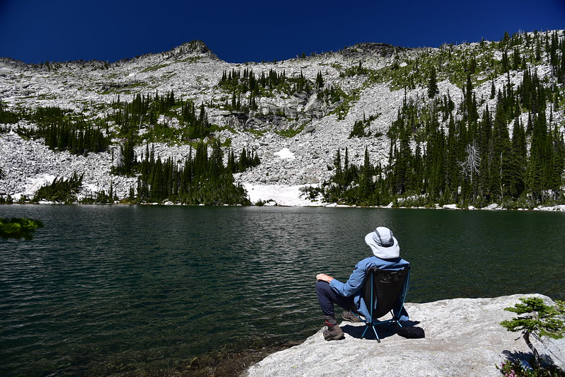
We spent several hours sitting by the lake and soaking up the view. Wind kept the mosquitoes down:


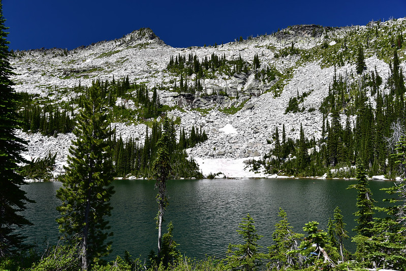
Here is the outflow, where Beehive Creek begins it’s tumble down the hill towards the Pack River:
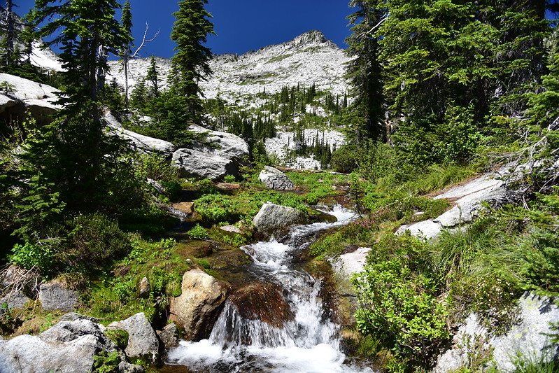
From a spot near there you can see the nearby mountains:

After a few hours of sitting by the lake we decided to scramble up to the ridge above the lake. A trio of guys had arrived before us and were sitting in one of the campsites around a campfire. When we left the lake we passed by that site:

We noticed that the fire was still smoking. They hadn’t put it out before leaving:
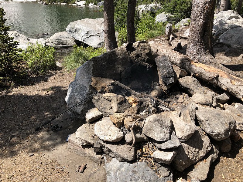
I wanted to douse it, but I saw they left their fishing pole and probably planned to come back (I was right). Nevertheless, you should NEVER leave your campfire smoking, even if you’re just out exploring nearby.
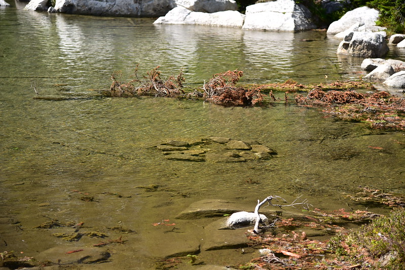
At one point int he past, someone built a fire too close to the lake shore (big no-no) and now with the high water the fire ring is submerged:
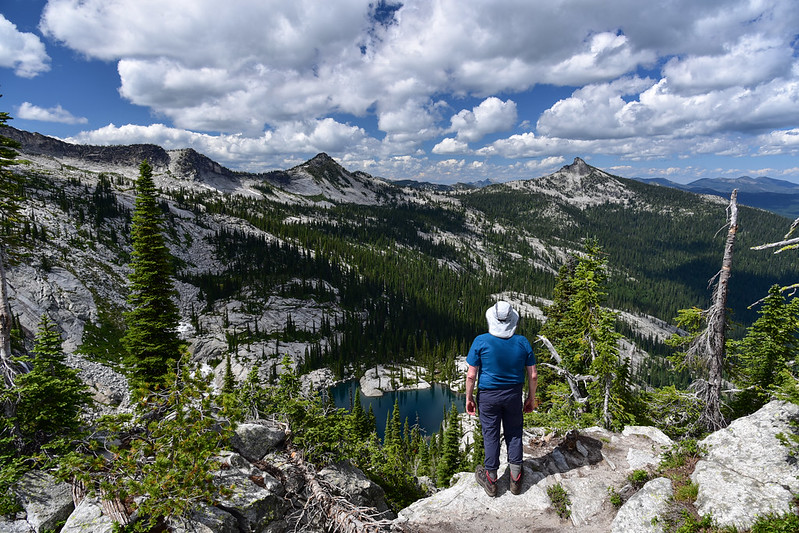
It was a short 0.3 mile scramble up a user trail to reach this viewpoint above Beehive Lake:
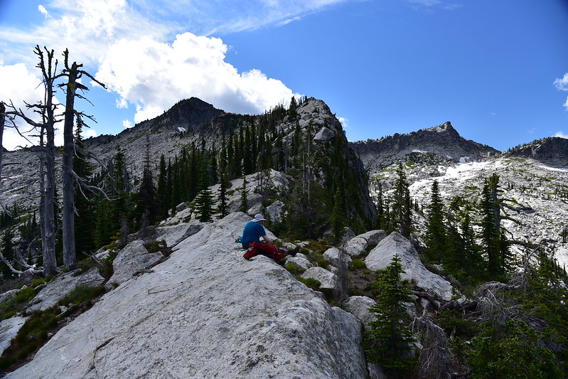

On the other side of this ridge we were no on we could see Little Harrison Lake below. Boy it looked inviting!:
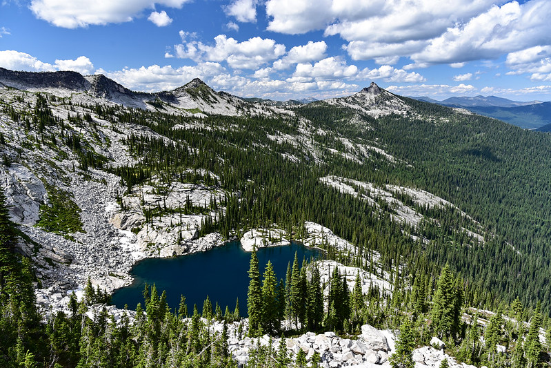

There is an unofficial but well-worn path through a rock chute up here that people follow to descend down to Little Harrison Lake. We didn’t have the time or energy today:
Looking back at Beehive Lake:


We had a good view of the distinct shape of Roman Nose to the east. It does indeed look very much like a nose! This view would prompt us to change our plans the following the day to try and get to the summit of that peak.


We descended back down to the main trail and hiked back to our car. Beautiful lake and it was especially nice getting up onto that ridge for some views!
Gaia stats: 7.3 miles, 2,350′ elevation gain
See other posts from this trip:


