Saturday, July 23, 2022
Today we headed west from Missoula to hike up Ch-Paa-Qn Peak.
This peak used to be called Squaw Peak but as part of the effort to remove that offensive name from landmarks it was renamed to Ch-Paa-Qn. (You can read more about that here.) From the right angle it’s a very pointy and easy-to-spot peak. This is the view from Highway 90 as we drove west from Missoula (pardon the windshield smudges):

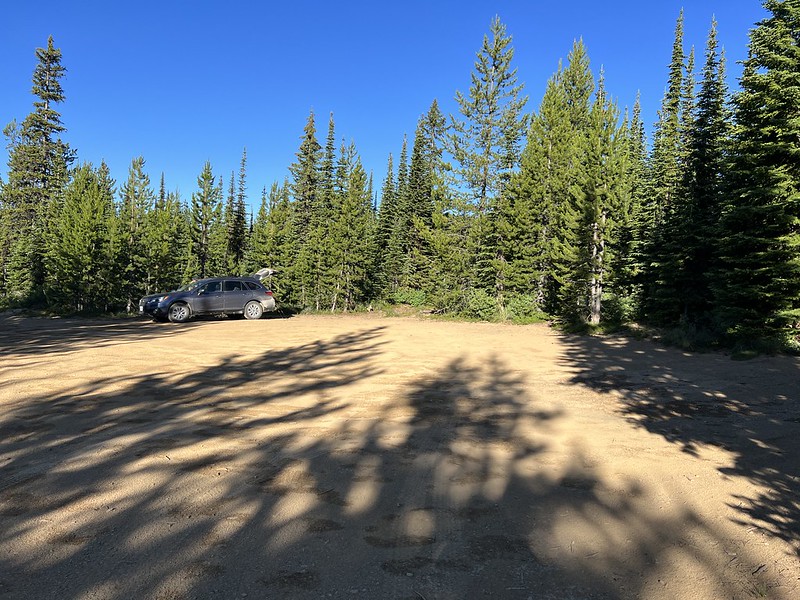
The road up to the trailhead was a bit rough and rocky, which made for slow going. I’ve certainly been on worse roads, but I was glad I had the new BFG K02 tires on the Subaru. We were the first to arrive at the trailhead at 8am:
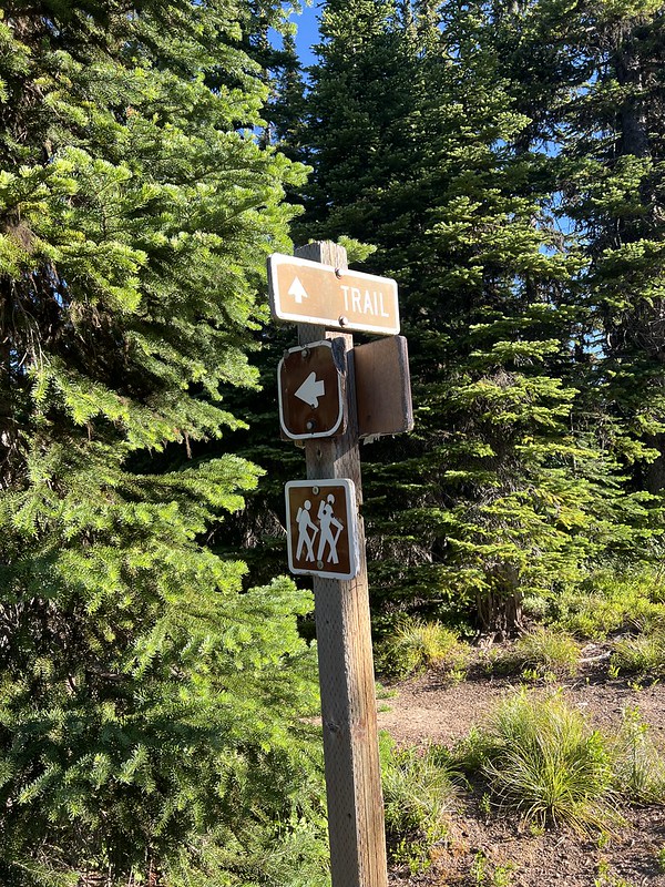
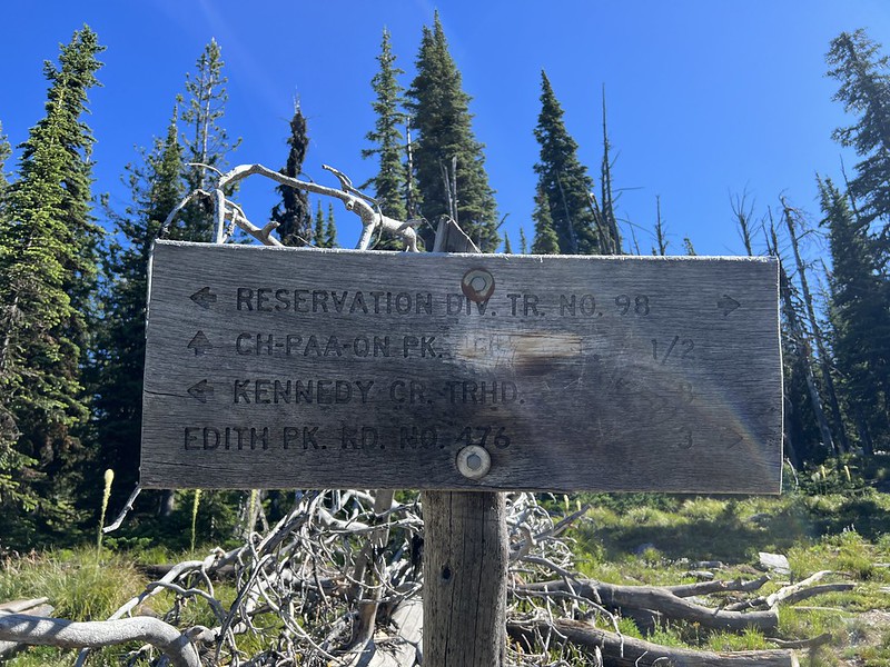
This was the only signage at the trailhead and is actually just beyond the parking area:
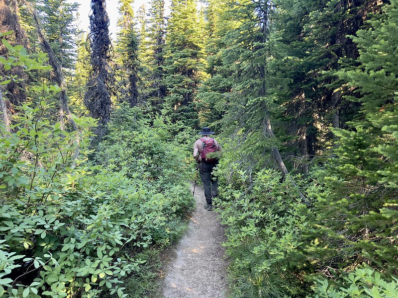
We set out on the Reservation Divide Trail, so named because on our left was the Lolo National Forest and on our right was the Flathead Reservation:

The first part was in the forest and some sections were pretty brushy:
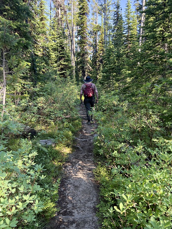
We saw signs of recent maintenance to remove deadfall from the trail:
The brush diminished after awhile:

We saw a lot of heather in bloom:

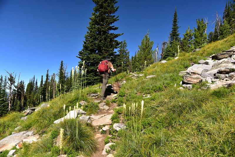
The trees started to open up:

Then we were passing through some meadow areas:
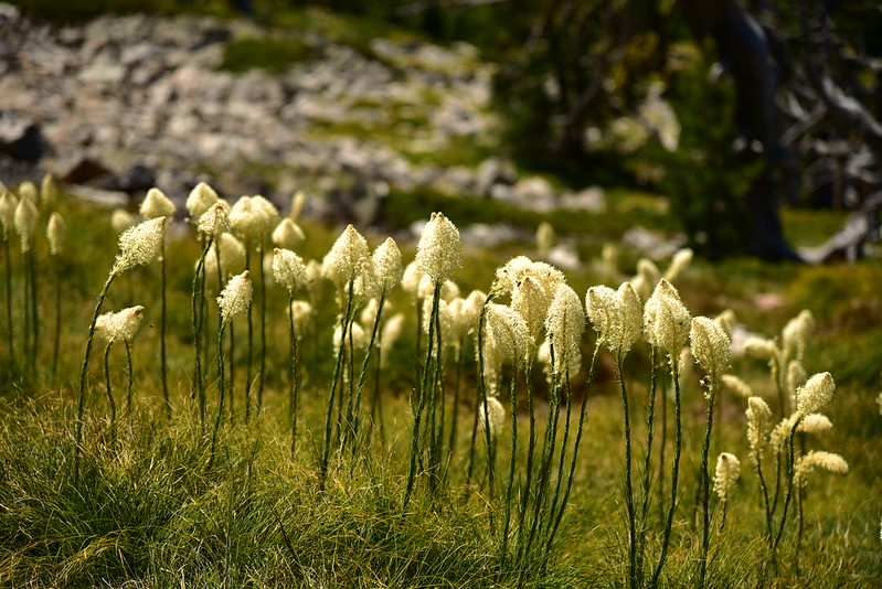
Nice to see beargrass in bloom!

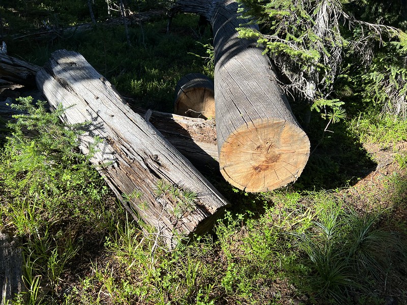
This was once a massive tree! I wonder how long it’s been dead and how much longer it’ll stand:

After about three miles and an hour and 45 minutes of easy hiking we reached the junction where we turned right to head up the peak:
This trail was pretty rocky:

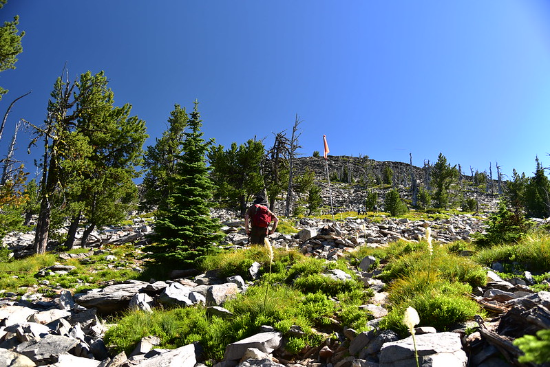
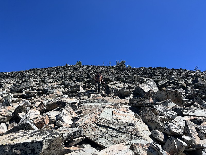
Then the trail dumped us out at the bottom of a boulder field and it would be scrambling from here to the summit. In the photo below you can see the flag that descending hikers can aim for so they’re able to find the trail:
It wasn’t too bad at first:

Then it got harder:


We saw some clumps of penstemon in bloom along the way:

It was slow going scrambling up those boulders. It took us about half an hour to scramble from the end of the trail to the summit:

We sat down to eat a snack and enjoy the view:

Looking west at Three Lakes Peak, Blackrock Peak, and Deemer Peak:

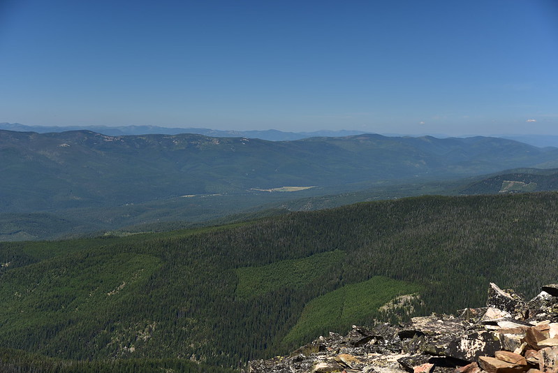
Looking northwest:
To the northeast we could see the Mission Mountains:

Looking southeast to the distant Bitterroots:

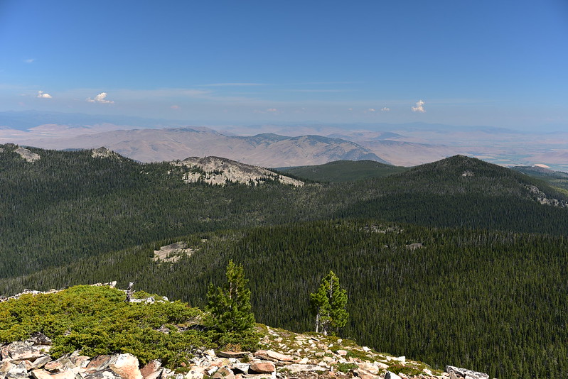
Looking south:

Looking southwest:
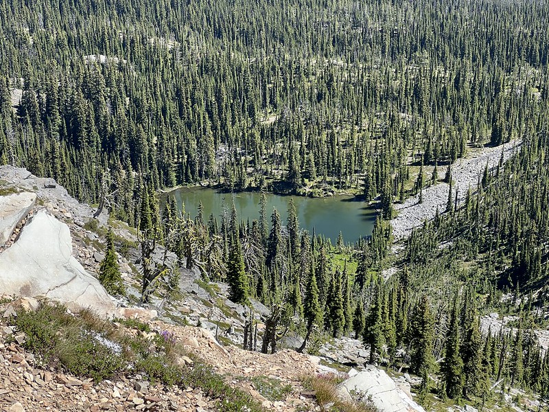
There were some unnamed lakes below:
We sat up there for awhile eating our snacks, but it was very hot with no breeze, so we started back down at noon, after 45 minutes on the summit. We were surprised how many people we saw. About a dozen hikers came and went while we were up there, and we passed more uphill hikers on our way down. Scrambling down the boulder field was just as hard as going up, if not harder. It took concentration to pick my way down the rocks without injuring myself:
More beargrass:

We were very glad to finally make our back onto the easy Divide Trail and head back to the car. It was pretty hot and we did not dawdle.
Gaia stats: 7.3 miles, 1,860′ elevation gain
Video:


