
Backpacking in the William O. Douglas Wilderness
Friday, September 1 – Sunday, September 3 With rain in the forecast this weekend we had to cancel our plans
Continue readingBackpacking in the William O. Douglas Wilderness
Adventures from a peachy life
Friday, September 1 – Sunday, September 3 With rain in the forecast this weekend we had to cancel our plans
Continue readingBackpacking in the William O. Douglas Wilderness

Sunday, July 30, 2023 The last hike of our Mt. Rainier trip was the Naches Peak Loop.
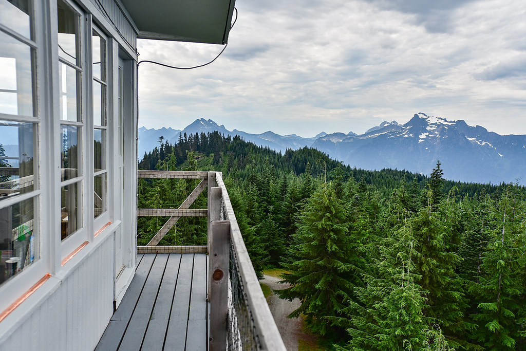
Monday, August 8 – Tuesday, August 9, 2022 I lucked into beautiful weather when staying at the North Mountain Lookout
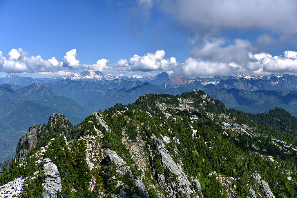
Sunday, August 7, 2022 I was totally exhausted after hiking Mt. Pilchuck on Friday so I rested on Saturday, then
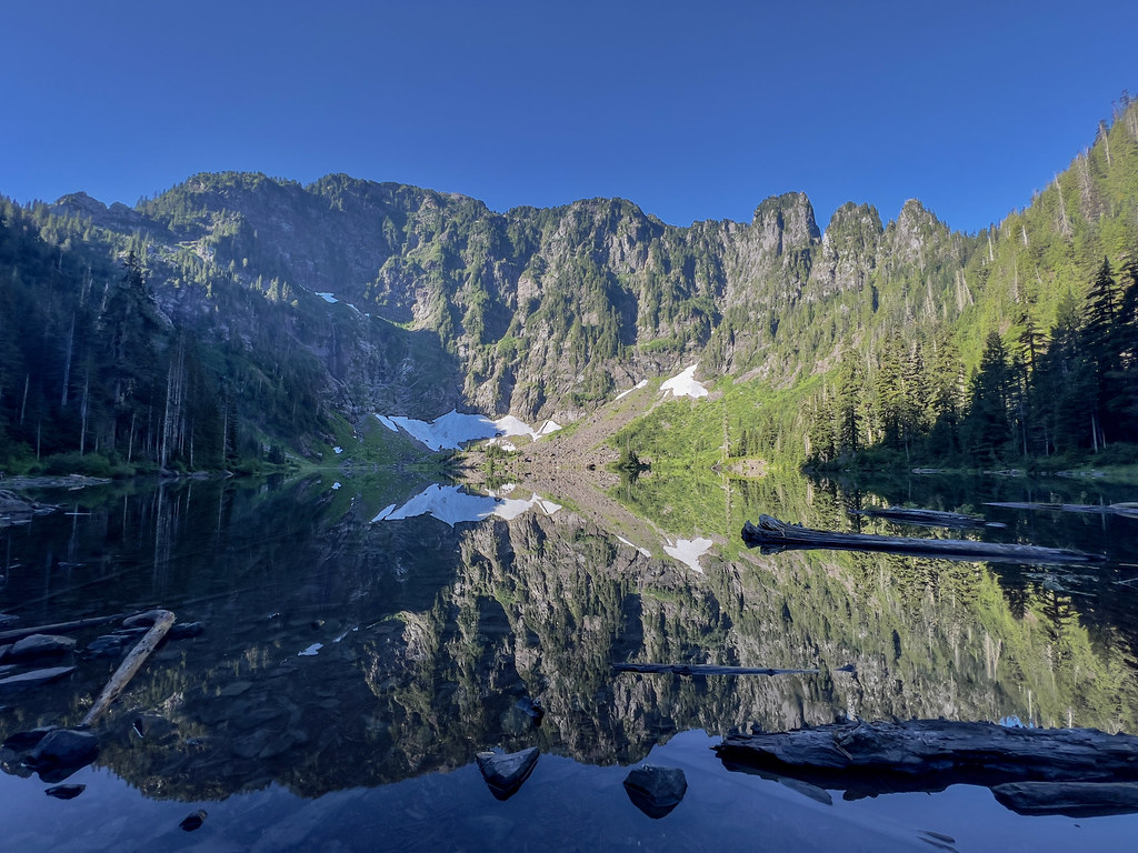
Friday, August 5, 2022 I spent a long weekend in northern Washington and one of the hikes I did was
Sunday, August 5, 2018 Today was the last day of our trip and we had to drive home to Portland.
Saturday, August 4, 2018 With better weather in today’s forecast we decided to hike the Johnson Ridge Trail out to
Friday, August 3, 2018 Friday was forecast to be cloudy with maybe even a bit of rain, so we decided
August 2, 2018 The first half of the week we backpacked to Ice Lake. Originally our plan for the second
2015 Trip, Day 6: Thursday, August 20 When we woke up this morning, all traces of yesterday’s clear weather had