Friday, August 5, 2022
I spent a long weekend in northern Washington and one of the hikes I did was Mt. Pilchuck.
Because of its proximity to Seattle this hike is very popular, which is why I did it on a Friday. I got up early, left home, and drove north. Options for dispersed camping on the Mountain Loop Highway in that area were limited, so I grabbed a campsite at Red Bridge Campground, then headed to the trailhead.
I had heard that Road 42 to the trailhead was pretty bad and boy was it ever. The first five miles were cratered with hundreds of potholes. Some of them were very deep and I couldn’t imagine trying to drive this in a low clearance car. It was very slow going. Then, inexplicably, the last 1.8 miles to the trailhead were paved! I’ve read that this is a holdover from when there was a ski resort up there, but that doesn’t make sense to me. Why only pave the last part of a ski resort road and not the whole thing? I was horribly carsick when I finally got to the trailhead. I was shocked to see a Prius up there.
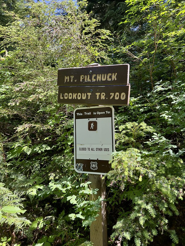
After that godawful road I couldn’t believe it when I saw this sign. Don’t thieves want easy targets? Getting up here is anything but easy:

I quickly gathered my gear and hit the trail:
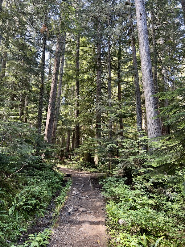
After starting out on a pleasant forest trail…
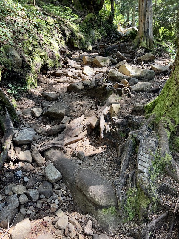
…things quickly deteriorated as the trail became rooty:

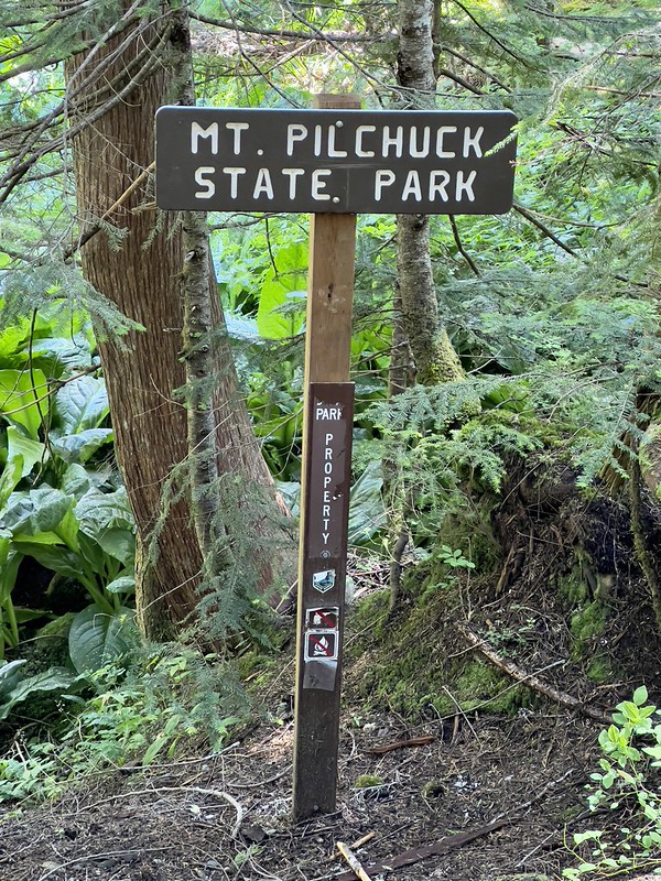
I passed the boundary into the state park:
In some places there were stairs:

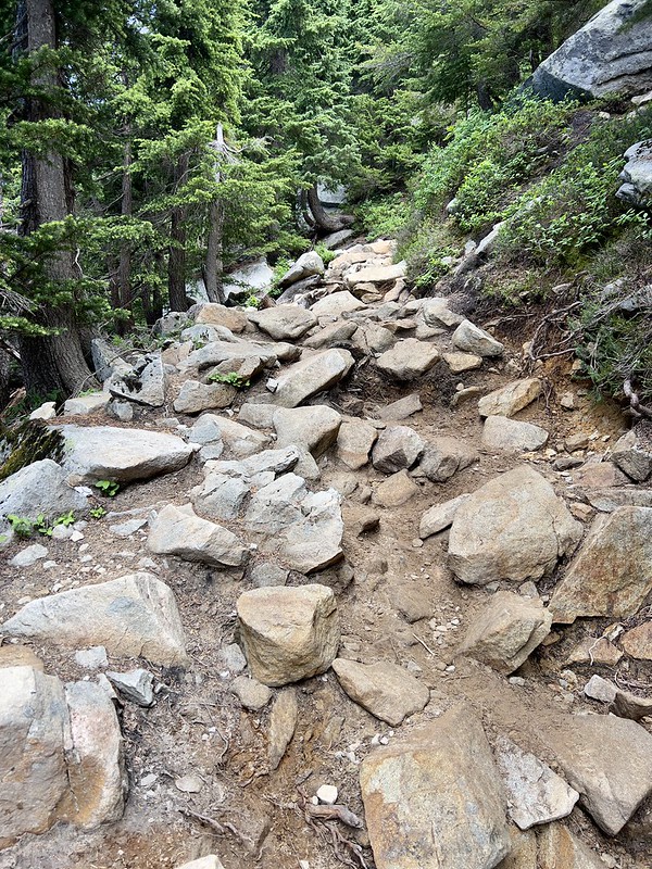
But mostly the trail was VERY VERY rocky:

Part of the way up I got a good view of Three Fingers. This was the last I’d see of it since it remained stuck in a cloud by the time I got to the summit:

I left the trees behind and entered an open area. That’s the summit way up there:

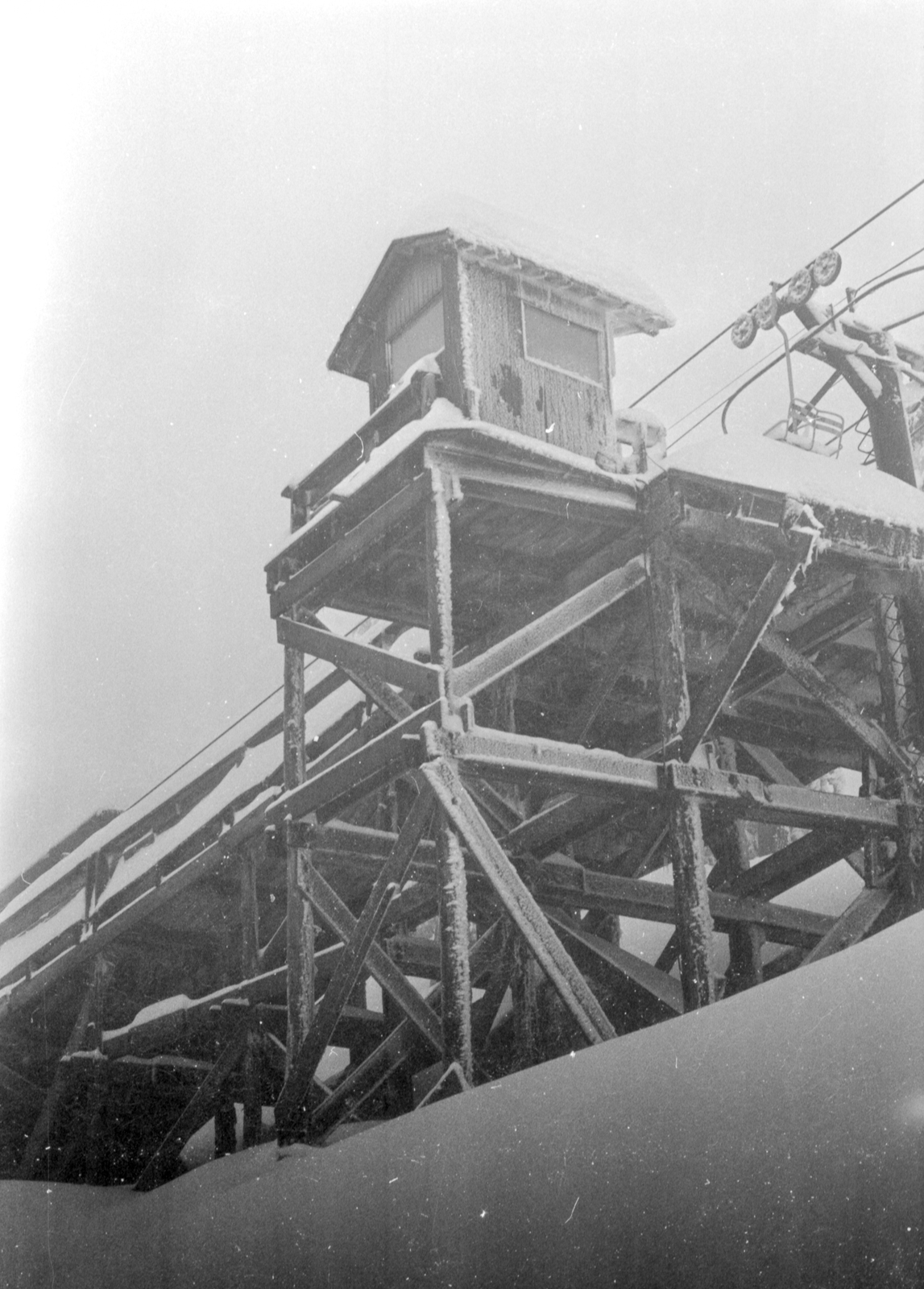
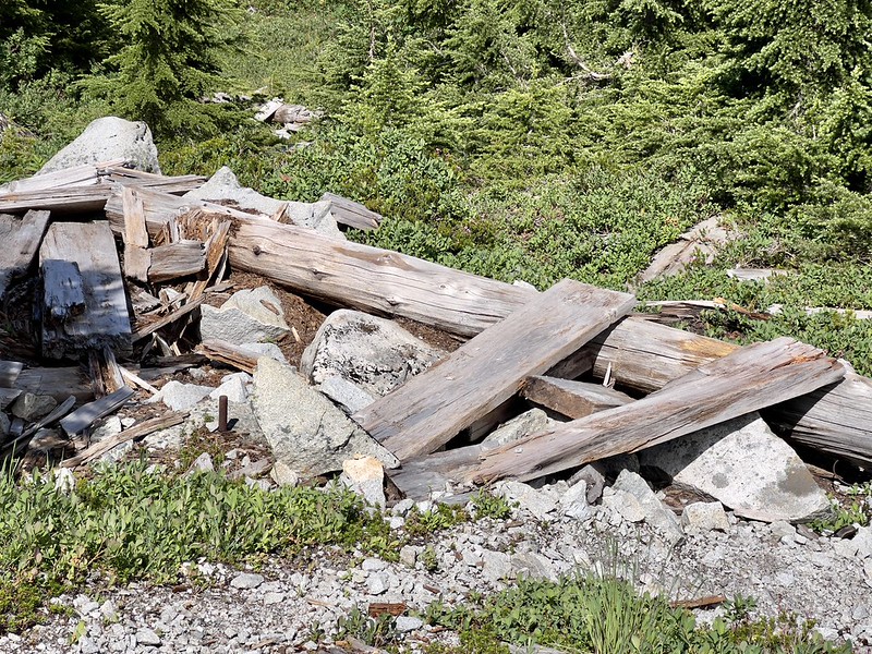
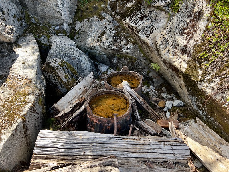
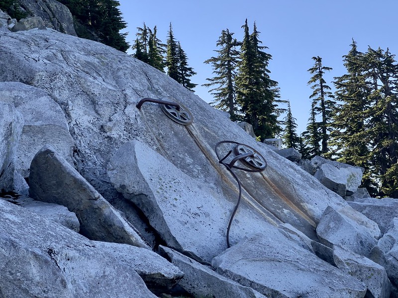
I passed the remains from the upper terminal of the ski lift. The resort closed in 1978. There are old photos of the ski area online, including this thread on nwhikers.net where someone posted this photo of the upper terminal.
This is all that’s left now:


I continued up the rocky trail. Hiking this obstacle course of rocks was both physically and mentally exhausting:
Finally I was within sight of the Mt. Pilchuck fire lookout:

But first I had to scramble up this boulder pile to get there:

And climb a ladder. I took this picture on the way down:
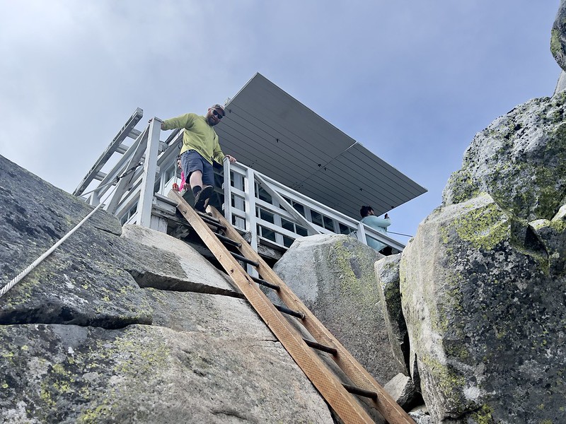
Looking down the ladder I just climbed up:

Whew, made it! It took me two hours and 20 minutes to hike 2.7 miles to the lookout, gaining 2,100’ in the process. The Everett Mountaineers have done a lot of work on the lookout and they keep it maintained. The inside has signs and exhibits and old photos:

The catwalk was built around the rocks:

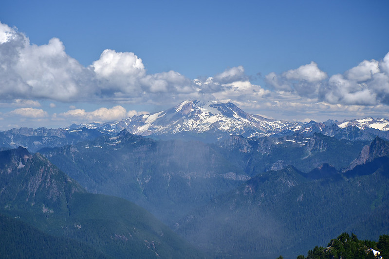
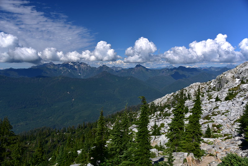
Unfortunately there were a lot of clouds, which was disappointing. But the views were still pretty good. Looking east to Glacier Peak:

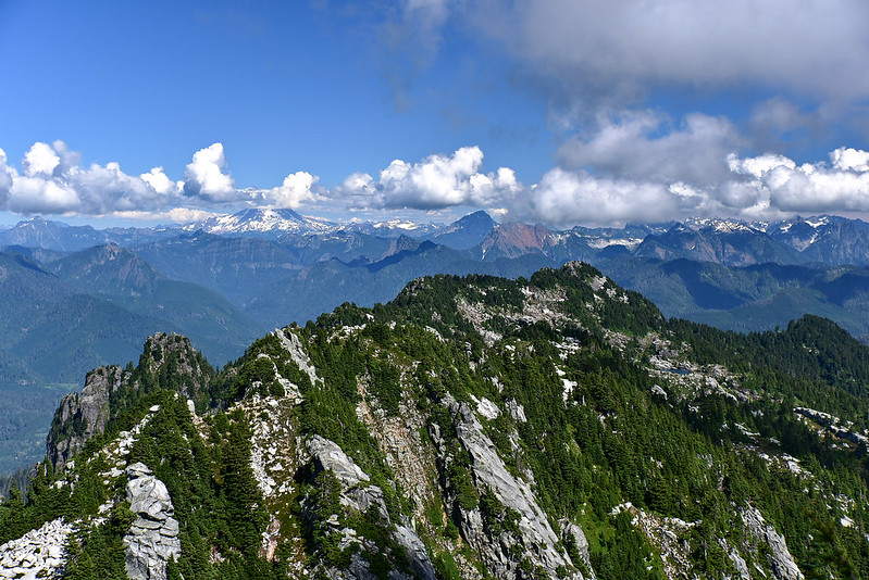
Looking northeast:
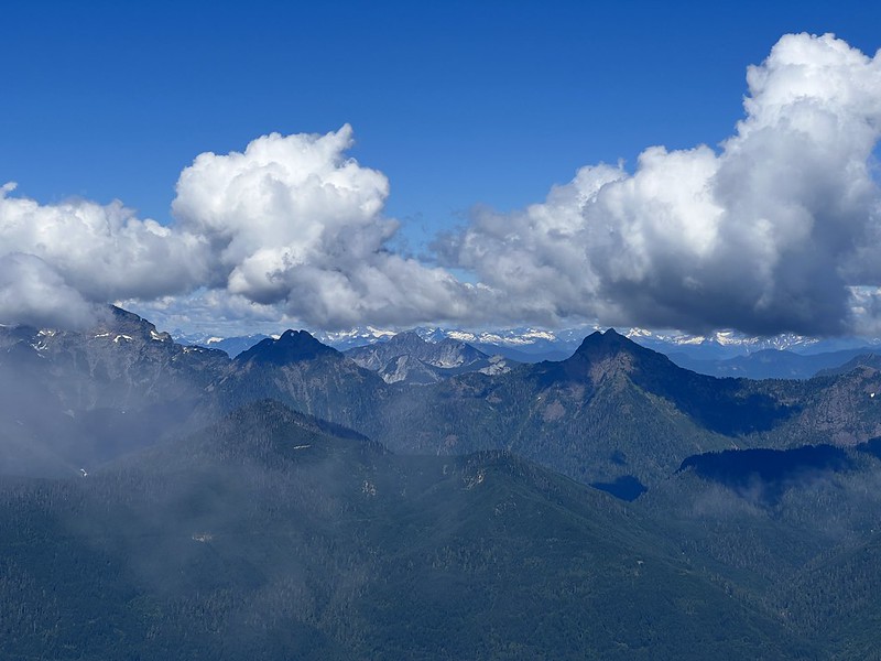
Looking southeast:

Three Fingers is hiding in the clouds out there:

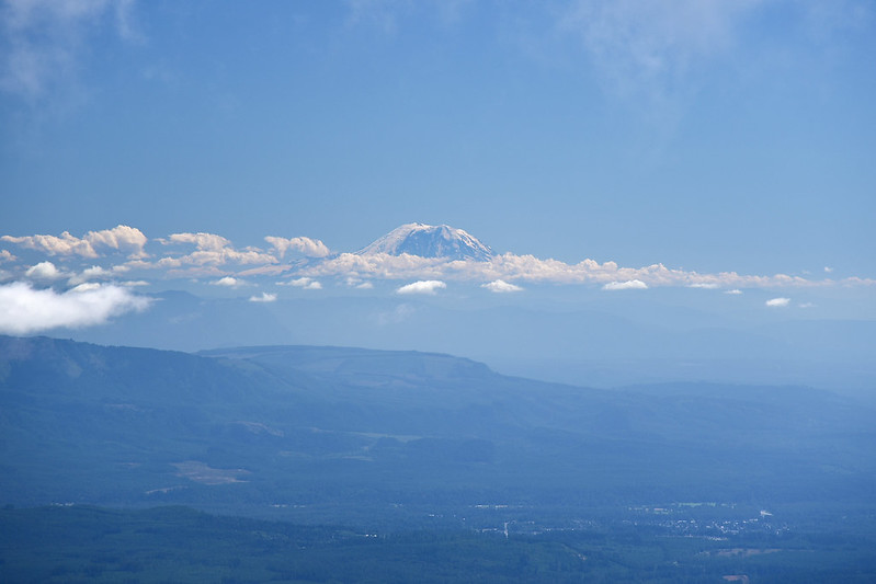
Mt. Rainier to the south:
It would be nice to sit here for awhile just enjoying the view, but far too crowded for that:

After a break at the lookout I carefully made my way down the ladder and back across the boulders. The best views are from the lookout, but from a spot near where the trail comes out on the peak there’s a nice view looking east:
The day was getting on so I made my way down. The clouds over Three Fingers had lessened:
The descent was pretty bad. Navigating all those rocks was even harder going down than going up. I was so glad to be back to the car.
The next day I took this picture of Mt. Pilchuck from the Verlot Public Service Center:

The views up there are pretty fantastic and there’s the appeal of the lookout as well, but the road and the trail are both so terribly awful I have trouble understanding why this trail is so popular. I’m glad I did this hike but it’s unlikely I will ever do it again.
Gaia stats: 5.5 miles, 2,100′ elevation gain


