Sunday, August 13, 2024
For the final hike of my long weekend in eastern Oregon I hiked up Mt. Ireland.
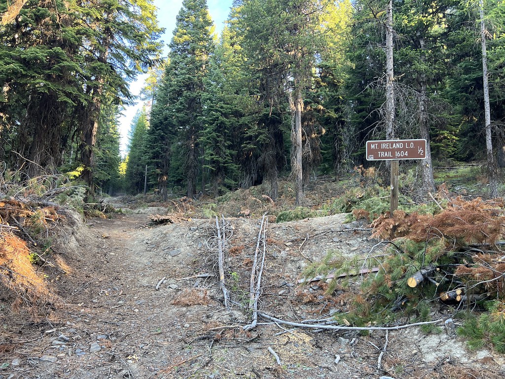
The trailhead is located on Road 7370 where it intersects with Road 132 (now decommissioned and blocked by a berm). The sign is misleading because it indicates the trail begins half a mile up Road 130, but this road appears to have been closed for awhile now. There was evidence of recent tree-cutting here to remove trees that were encroaching on the road/trail:
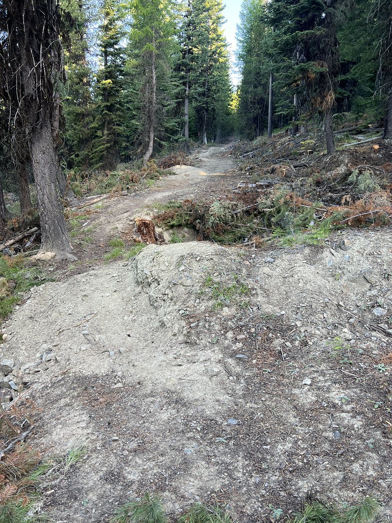
I continued following the old road:

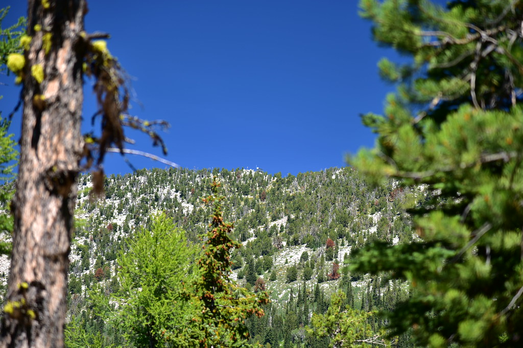
Through the trees I got a peek of my destination in the distance:

At an unsigned easy-to-miss junction I left the old road and picked up the trail:

1.4 miles from the trailhead the trail crossed Road 142 and continued on the other side:

After climbing up through the forest for another mile the trail emerged into an open meadow area. Downie Lake Trail #1609 heads down to the right, but the Mt. Ireland Trail makes a sharp left here and continues up towards the lookout:

The trail now followed an ancient rocky road bed. I saw tire tracks and wondered about them. Later I saw Danielle and Garnet’s post on The Wandering Civic blog from their July 11 visit a month prior. It was the lookout’s first day on duty and a Forest Service ATV had driven part of the way up. So it’s possible the Forest Service had driven up here again recently.


I can’t imagine driving ANY type of vehicle over this:


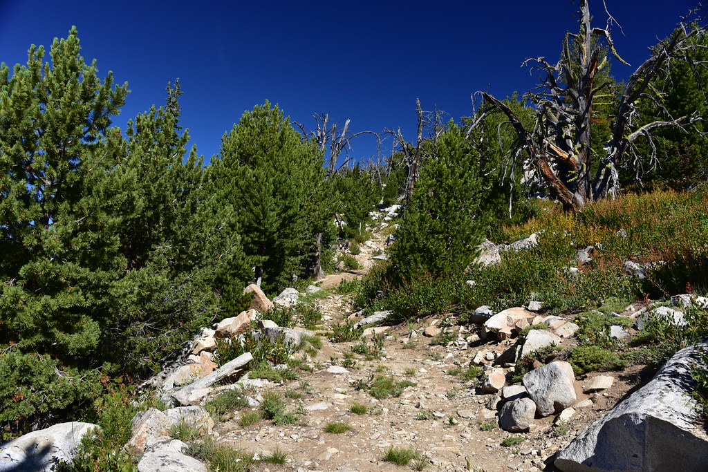
The old road track ends and turns into a trail, which then switchbacks up to the summit. It was a warm day and I paused frequently to catch my breath and take in the views:


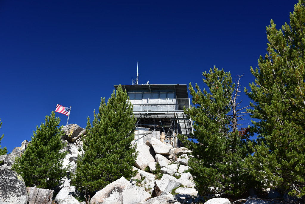
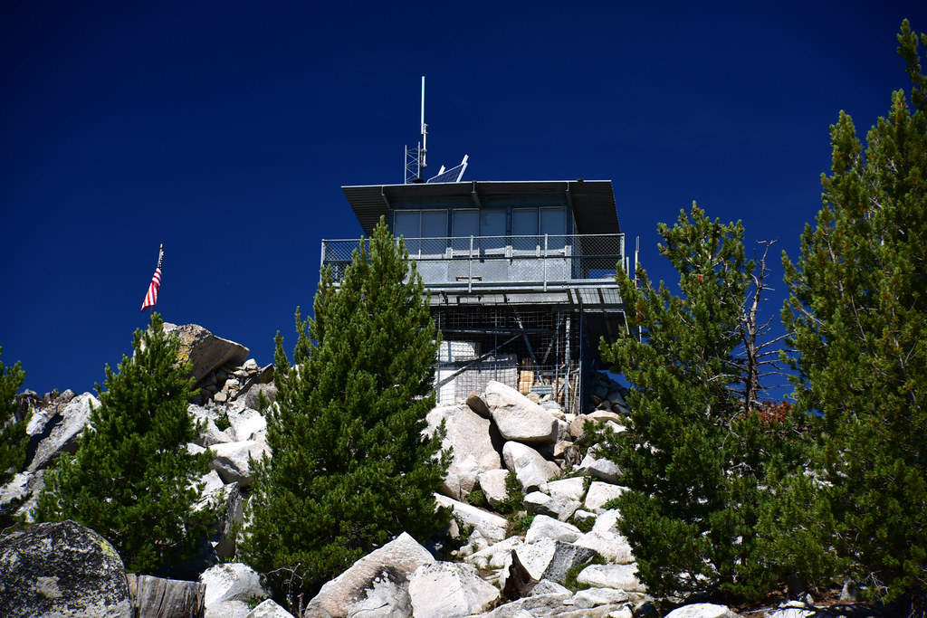
Then I was at the summit where the fire lookout stood. I’m not used to hiked up to 8,300′ and I was ready for a break!

There is a helipad up here:

The lookout is staffed in summer, but no one was around. I arrived on his day off:


Some piece of old exercise equipment. Wow:


The views up here are incredible. Baldy Lake is visible below to the northeast. It’s in the North Fork John Day Wilderness and although the trail to Mt. Ireland is not in the wilderness the lookout itself sits just inside the boundary. There is a trail Baldy Lake that comes in from the north, but no trail between the lookout and the lake:


View to the southwest. Vinegar Hill is left of center, with Dixie Butte to the left of that:

Looking southwest to Vinegar Hill

View to the northwest:

View to the southeast. Rock Creek Butte at center:

Looking northeast at Red Mountain:

I saw a salt lick and mountain goat fur, but no goats:


The toilet:

I took a break on the summit, then headed back down. I got a nice view of Mount Ruth (left of center) and Twin Mountain (on the right):

I’ve been wanting to do this hike for a long time and I was glad to finally check it off the list. Definitely one of the more difficult lookout hikes I’ve done due to the rocky terrain and high elevation.
Gaia stats: 7 miles, 2,300′ elevation gain


