Saturday, July 15 2023
There’s a road that goes to Pig Iron Lookout, but today I got there by taking the trail that starts on Road 250.
I got an early start so everything was in shade as I set off. The trail starts off by crossing a footbridge over Clearwater Canal No. 2:


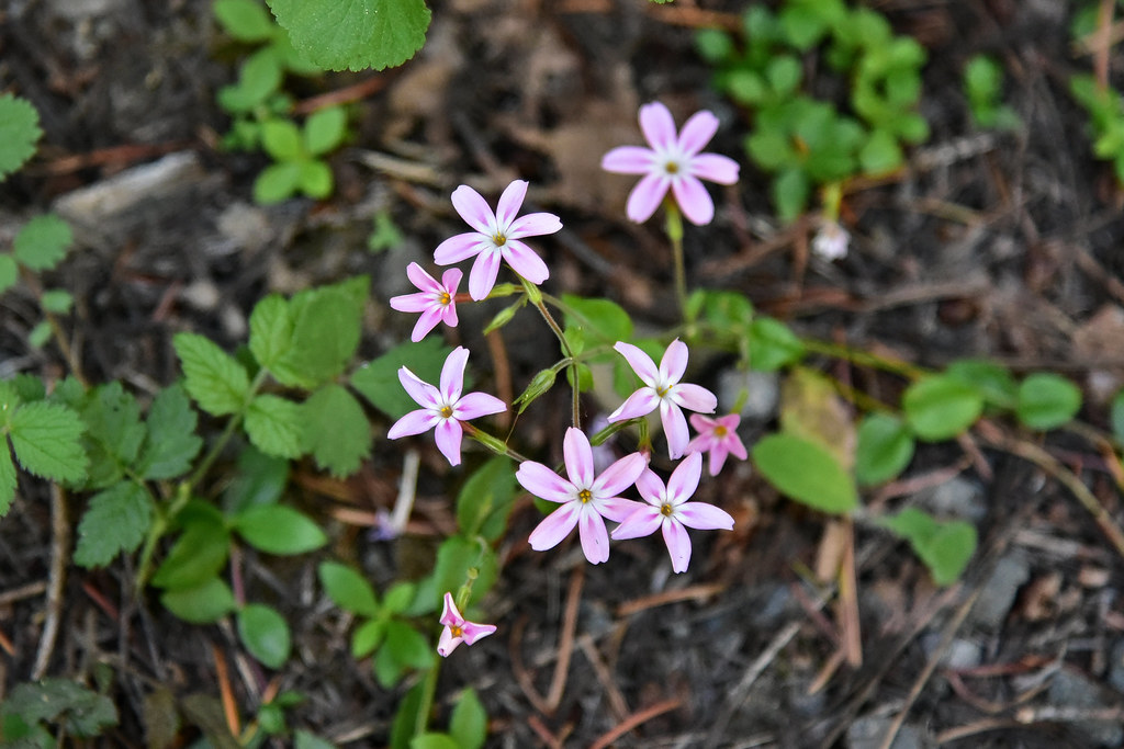
The trail was a bit brushy, but easy to follow:


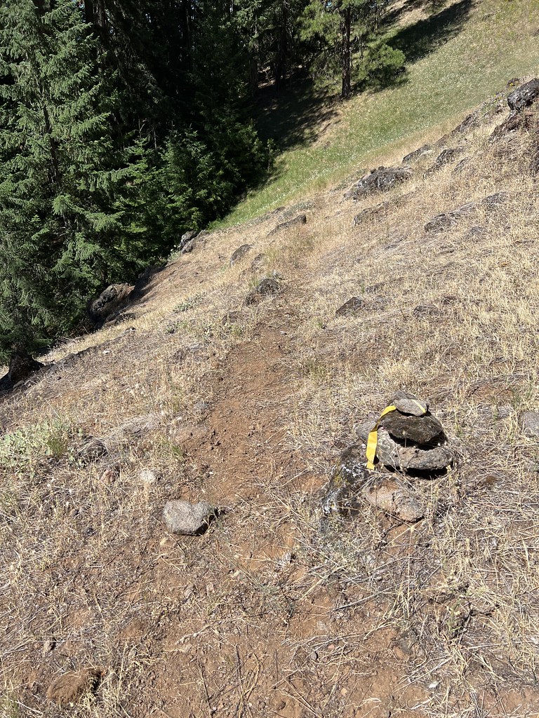
The tread here is sliding down the hill:

More sunshine as I climbed up:

Faint trail through a meadow:

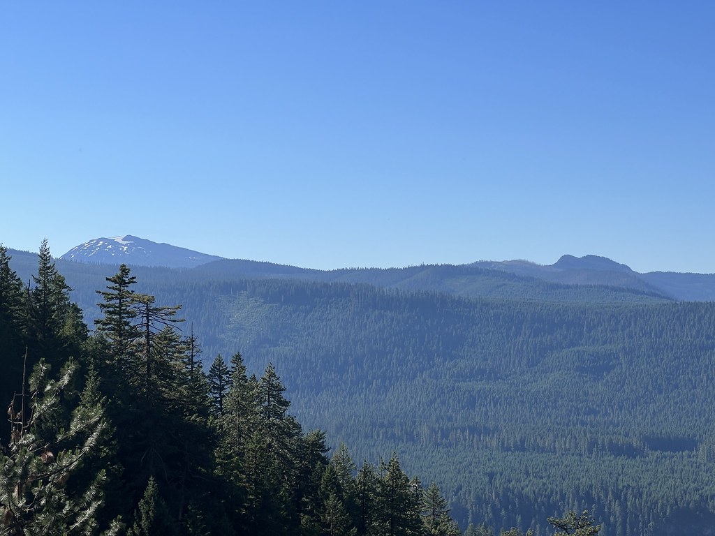
View of Mt. Bailey and Garwood Butte from the trail:
Some areas had flagging to mark the way:
But the trail, while obviously not well-traveled, was pretty easy to follow:

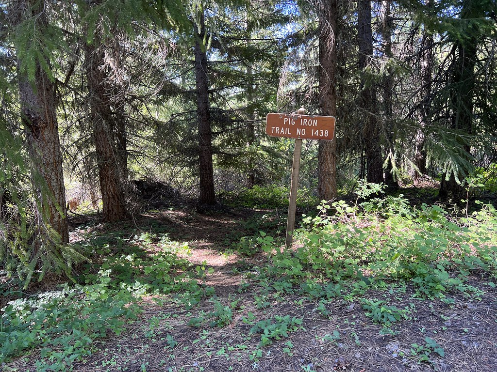
I reached the top of the trail, where it intersects with the road:
Then I hiked the road towards the lookout:

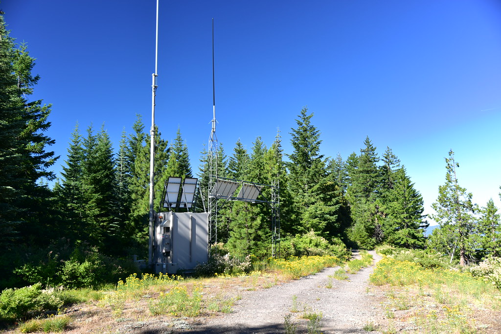
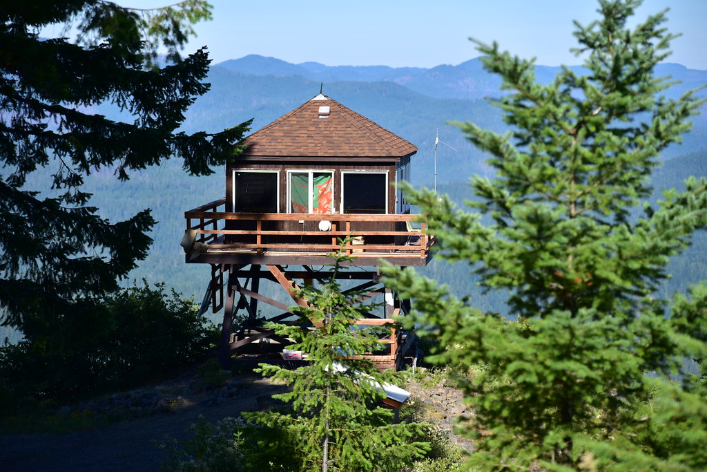
When I arrived at the lookout I found nobody there. Perhaps the lookout on duty had run to town for supplies:
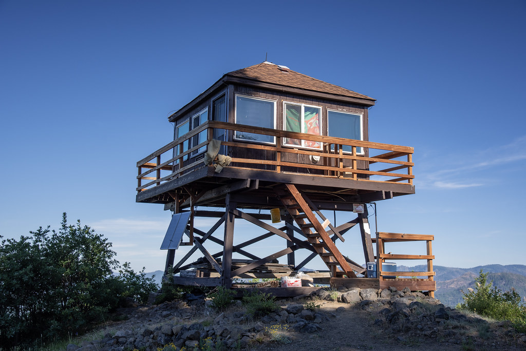
The lookout sits at the end of Watson Ridge, a little bit west of the actual summit of Pig Iron Mountain. Therefore no views exist to the east:

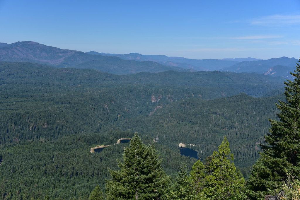
Looking west with Twin Lakes Mountain on the left, Toketee Lake and Clearwater Forebay No. 2 down below:
Looking northwest to Illahee Rock, Spring Mountain, and Harding Butte


I took a brief break then headed back down:

Gaia stats: 6.8 miles, 1,800′ elevation gain


