Sunday, July 2, 2023
While staying at Bald Knob Lookout we did several hikes. Today we did Iron Mountain.
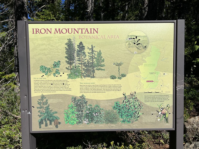
We really didn’t know anything about this hike other than the short description on the Forest Service website. Iron Mountain Trail #1265 spans several miles from its northern trailhead on Road 260 down its southern trailhead on Road 5325. We drove to the southern trailhead, not expecting to find anything except a trail disappearing into the woods. But there was actually a sign here describing the Iron Mountain Botanical Area:

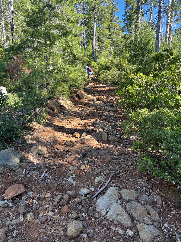
We set off up the trail, which is actually an old decommissioned road:

There’s a berm here to keep people from driving the old road, but a berm never stopped a determined OHV driver:


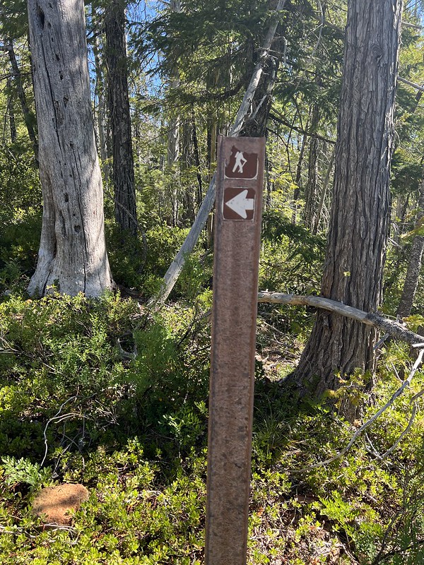
Where the old road forked there was an actual sign pointing the way! Shocking!
It was rough and rocky hiking:


We saw some iris:

And azaleas:

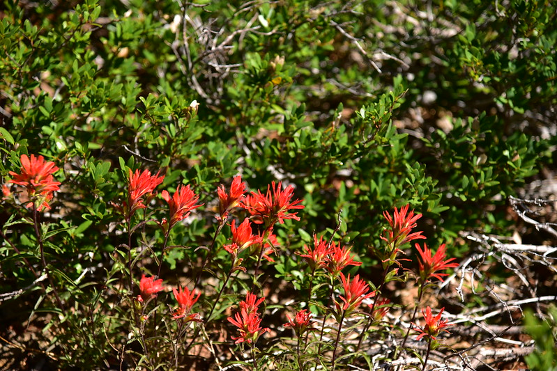
And paintbrush:
Just 0.7 miles from the trailhead we reached a sign that said “Iron Mountain Vista” and we turned right:

In another 0.2 miles we were at the summit:

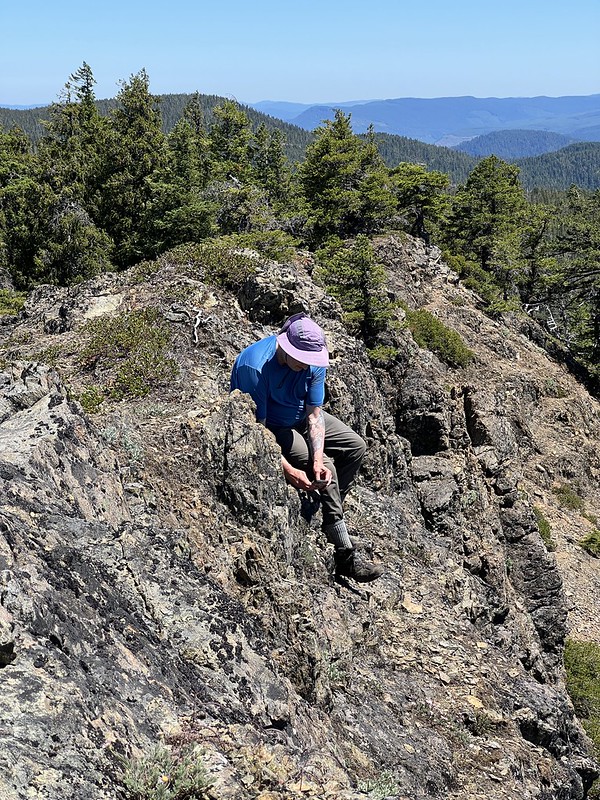
This is another former site of a fire lookout:

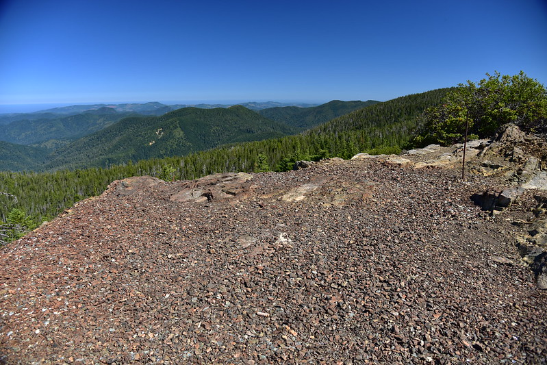

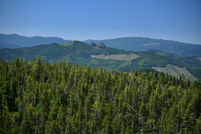
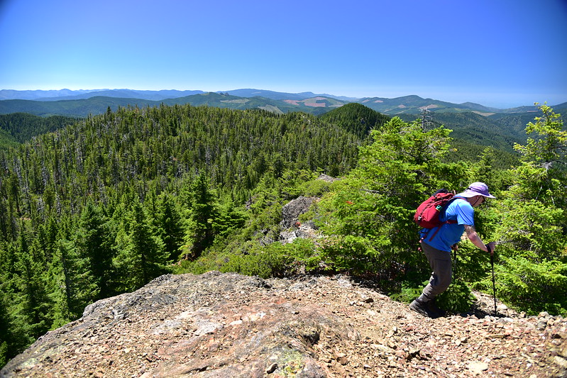
The views were great! Looking north with another hump of Iron Mountain’s long ridge on the right, and Barklow Mountain just left of that:
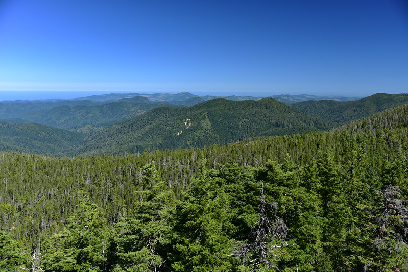
Looking west with the Pacific Ocean visible in the background:

Looking northwest with Copper Mountain in the foreground and Barklow Mountain at far right:
Distant view of Edson Butte Lookout:

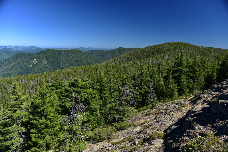
Looking east to Bald Knob, the rounded forested butte in the middle ground:

You can just barely make out our lookout:

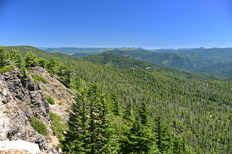
Looking southwest:
I think that distinctive formation is Sawtooth Rock:
Looking south. Lake of the Woods Lookout is on the ridge in the middle ground:

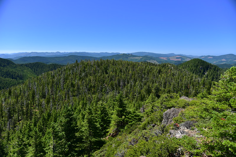
Looking northeast:
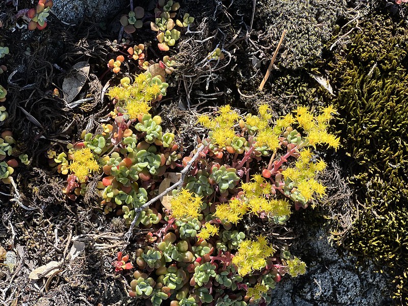
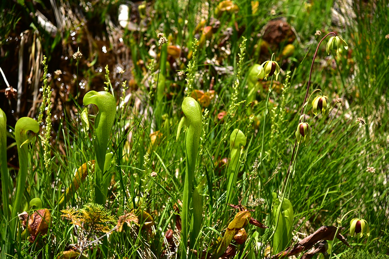
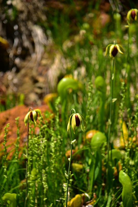
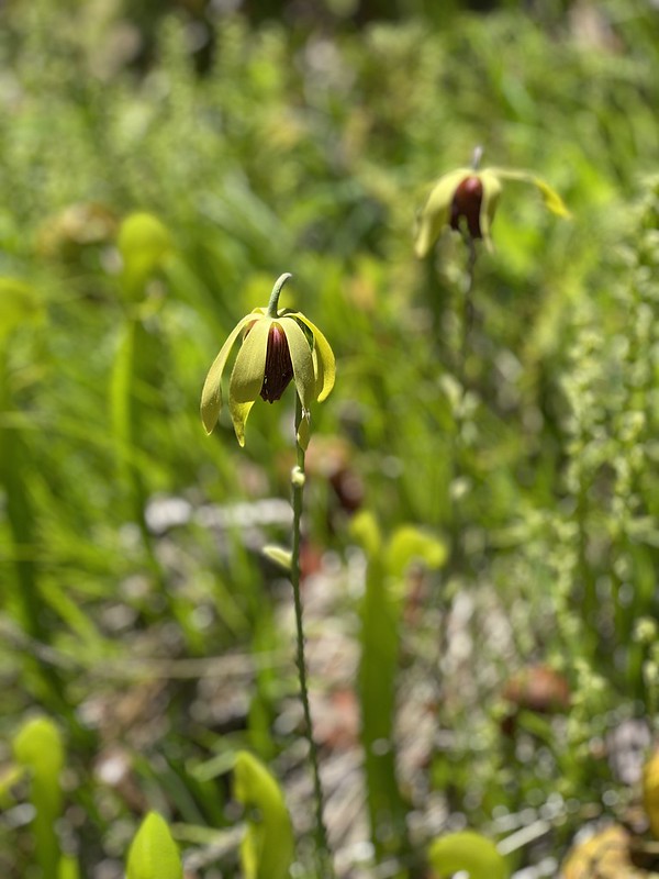
Greg spent much of our time up here photographing the tiny flowers:
After spending awhile on the summit we headed down:
We’d had the summit to ourselves the whole time, and our timing in leaving was good because we encountered other hikers heading up right as we were heading down. Cool lizard:

On the drive out we stopped to check out the darlingtonia patches along Road 5325:


Short but rewarding hike!
Gaia stats: 1.8 miles, 500′ elevation gain


