Saturday, May 15, 2021
Last spring we wanted to get outdoors but be away from people so we headed for the Clackamas River area. Now all that is closed due to the Riverside Fire, so we are seeking people-less places elsewhere. Today we visited Postage Stamp Butte.
Postage Stamp Butte is located in the White River Wildlife Area on the eastern side of the Cascades near Tygh Valley. According to Oregon Geographic Names: “The name was applied in 1925 by James Frankland during observations for USFS triangulation. When seen from a distance, an arrangement of ground colors on the slopes of the butte simulated a letter with a postage stamp stuck in one corner.”
There is a map online showing the roads and boundaries of the wildlife area. There are two roads into this area: one coming in from Kingsley to the north and one coming in from the south. We came in from the north on J Hix Road. 1.5 miles down that road is this gate which is open now but closed December through March:

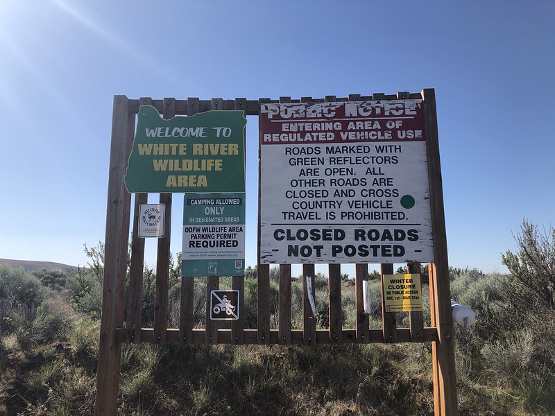
After another 1.5 miles we crossed a cattle guard and passed this sign. Note that a parking permit is required:
Half a mile after that sign is an unsigned junction where that road from the south comes in. We turned right and drove a rough rocky road to this grove of trees and some old corrals, one mile from the junction:
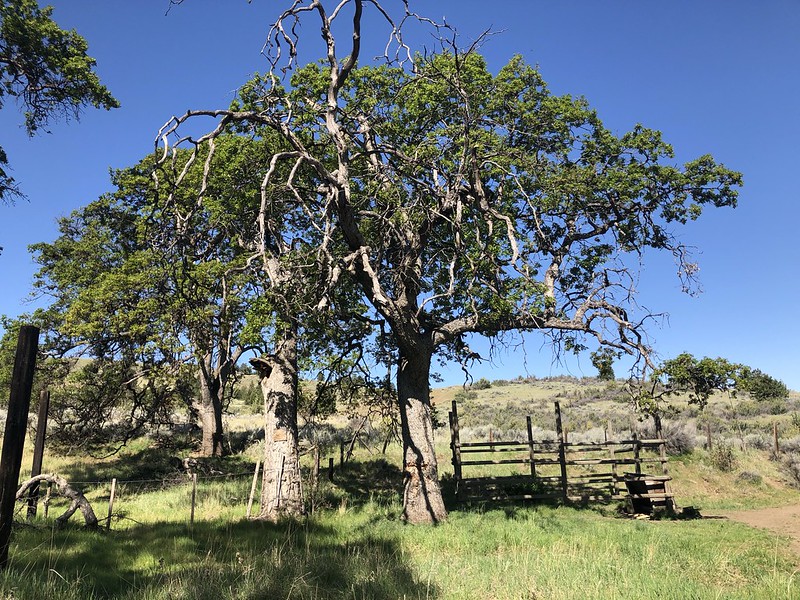
Just beyond the corrals is this beautiful old oak:

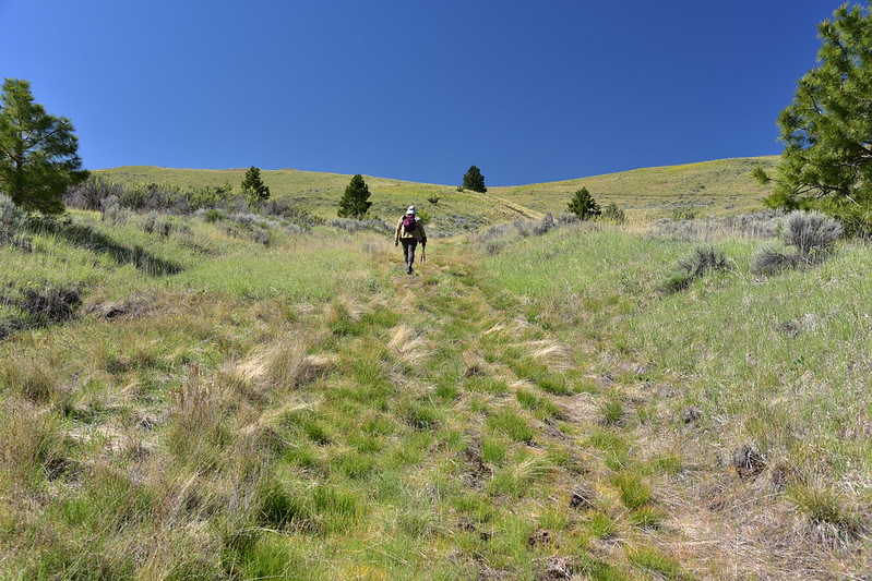
There used to be a drivable road up to Postage Stamp Butte but it hasn’t been driven in quite some time. From here we hike. It’s hard to see but the old road starts behind this:

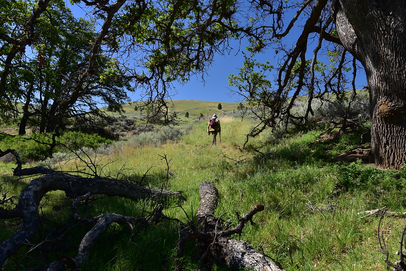
The track is grassy and pleasant and it doesn’t feel like a road hike:

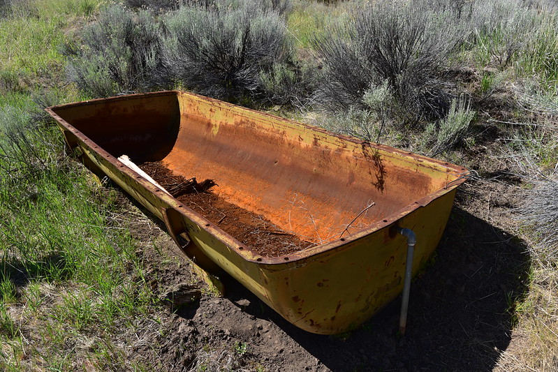
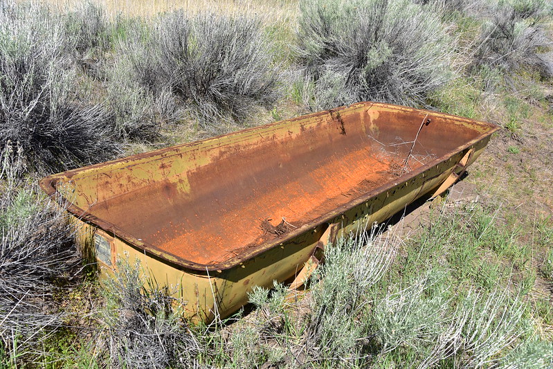
We passed an old water trough:
Continuing on:
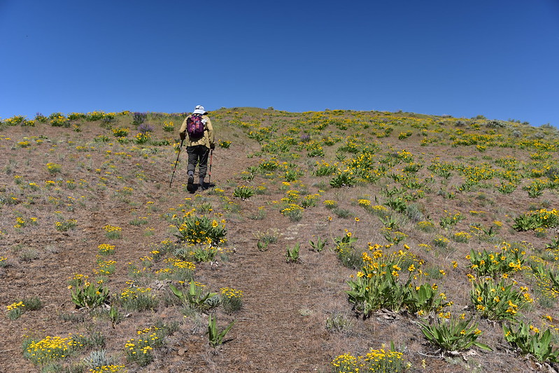
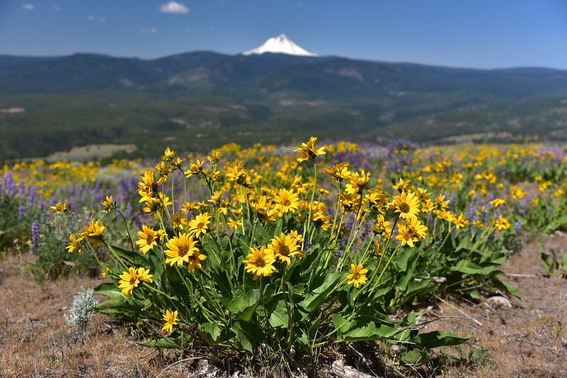
We started seeing balsamroot, some of which was growing right on the road:


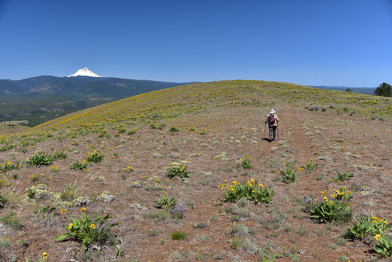
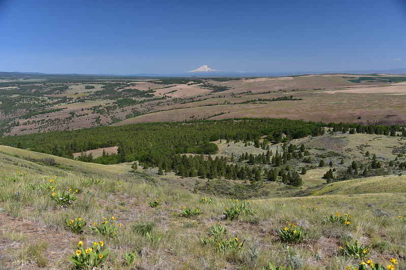
The top of Mt. Hood came into view:
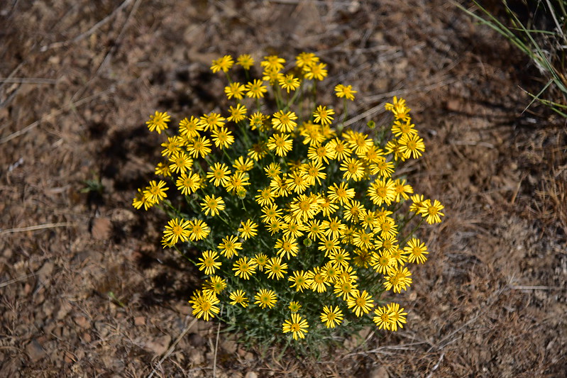
There were other flowers as well. Desert yellow fleabane:
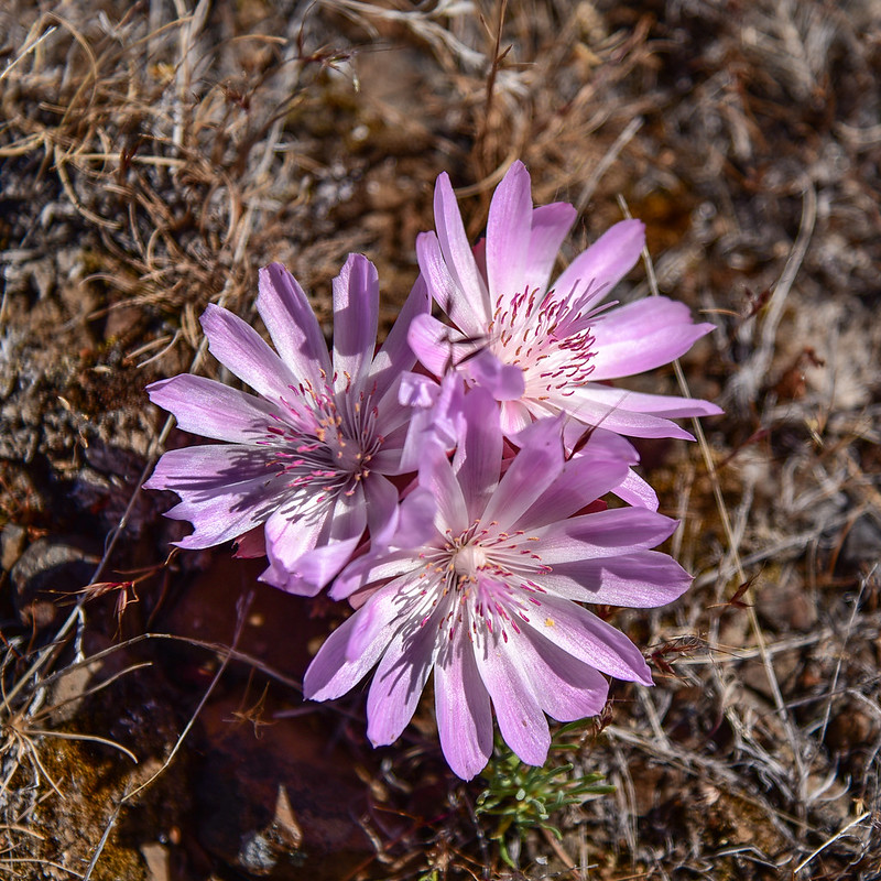
Bitterroot:
Lupine:

Buckwheat:

There was once a lookout up here:

Unlike many other lookout sites the concrete footings from that long-gone tower were nowhere to be seen up here. There wasn’t much left to indicate a lookout once stood here. The most obvious thing was the old flagpole, now toppled:

Someone once made a valiant effort to keep it upright, but gravity won:

A few old wires:


A bit of the foundation from the shed:
A few pieces of lumber:

Survey marker:

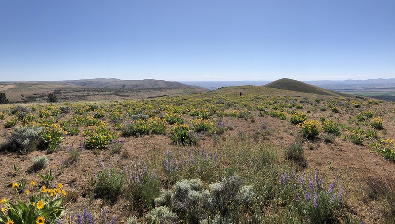
For whatever reason the lookout was built on the shorter (2,903′) summit of the butte instead of the higher (2,978′) which we could see to the south:

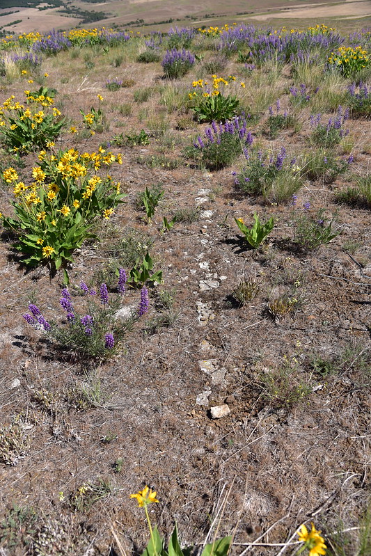
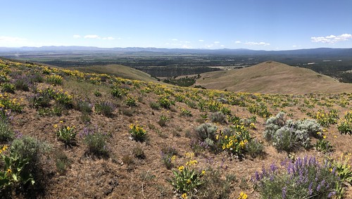
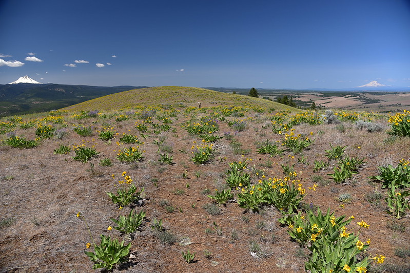
The summit was dotted with balsamroot and other wildflowers which was a very pleasant surprise:


On this gorgeous clear day we had views of Mt Hood:

Mt. Adams:

Mt. Jefferson and Olallie Butte:


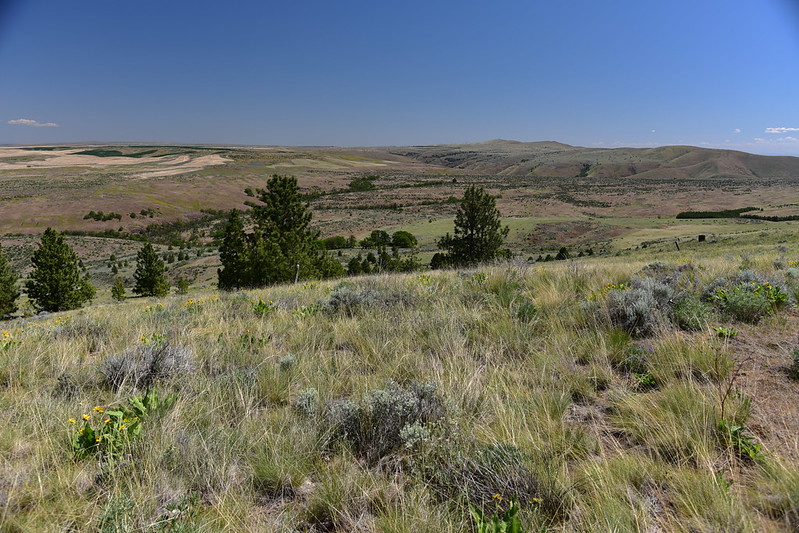
Looking east:
Comparing old panorama photos. Southwest:

Southeast:
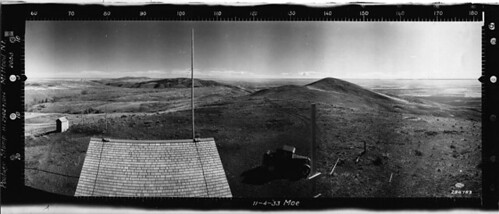
North:


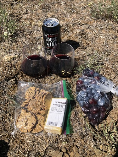
Greg surprised me by bringing a fancy picnic up here with wine, cheese, grapes, and blueberries. How sweet!
We weren’t sure how long the hike would be and it only turned out to be one mile from car to summit. It was a warm day with a gentle breeze so we just hung out soaking up the nature and the solitude. Finally we packed up and headed back. Looking back to the summit on our way out:
Looking down at where we parked:

It would be easy to ramble around the hills up here exploring but it was a pretty warm day so we decided not to. It was a short easy hike back down to the car:

We decided we would head over to Badger Creek afterwards and do a bit of that trail, which mean going south on Highway 197. We thought we’d try to the access road in that direction but it turned out to be very rough and rocky and slow-going. We weren’t sure if it was like that the whole way, but if so it would take awhile, so we we turned around and backtracked to the north to get back on Highway 197.
Gaia stats: 2 miles, 460′ elevation gain


