Friday, October 14, 2022
The second hike I did while staying at the Short Creek Guard Station was up Lookout Mountain.
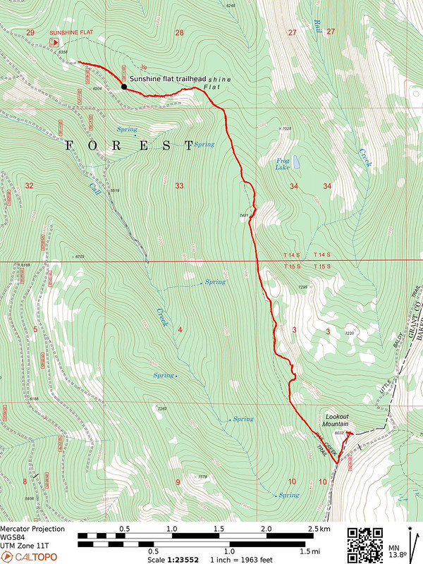
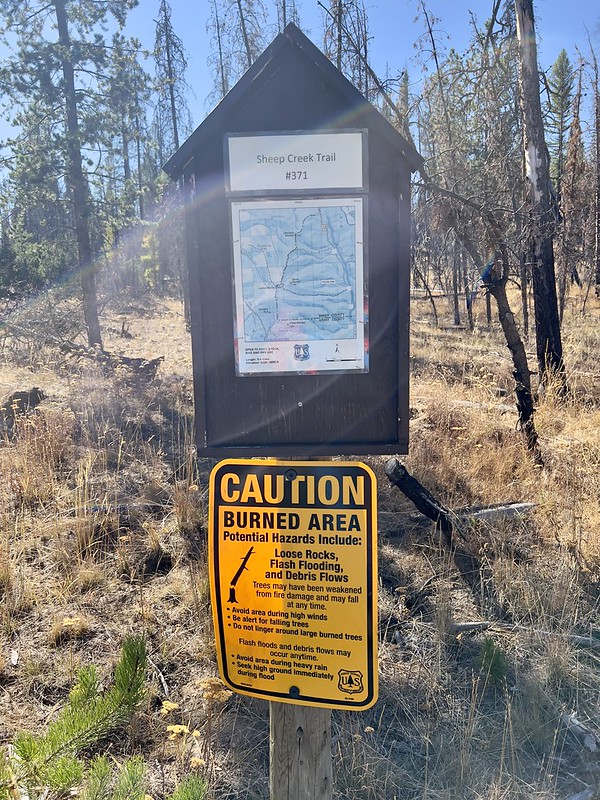
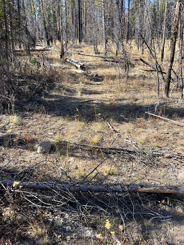
My original plan had been to hike up to Lookout Mountain via the Sheep Creek Trail. This trailhead was MUCH closer to the cabin and right on a paved road. However the Prairie City Ranger Station said crews hadn’t cleared the trail this year, although they thought maybe crews had cleared it last year in 2021. I hiked the first tenth mile of it and had to climb over half a dozen fallen trees, so that didn’t bode well for the remaining five miles:
There are three other ways to get to Lookout Mountain: 1) hike up the Horseshoe Trail to the crest and follow old Road 548 south to Lookout Mountain (about 6-7 miles one-way, I’d guess), 2) drive up from the south on Road 548, which will bring you right to the summit of the peak (this sounds like a pretty rough OHV road based on the logs for the geocache that’s up there), or 3) hike in from the west on the Sunshine Flat Trail (labeled Rail Creek Trail on some maps.
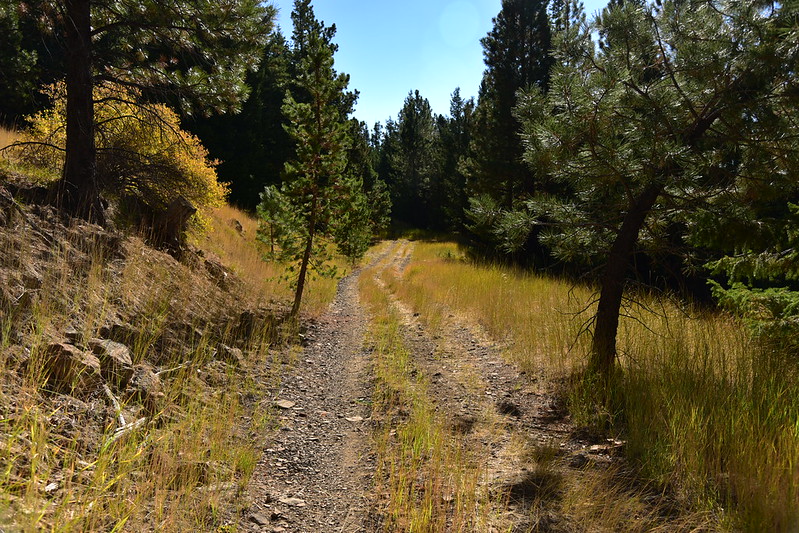
I chose the third option. Road 918 to the Sunshine Flat Trailhead turned out to be a rough rocky road for most of its length. I made it in my Outback, but this road definitely isn’t suitable for low clearance cars. I was watching the topo map in the Gaia app for the location of the trailhead. I drove by the spot on the map without seeing any sign whatsoever of a trail or parking area. I went a short ways further then decided to park at a wide spot and start walking:

Of course once I stopped driving the road wasn’t too bad:
The drivable road officially ends at this spot where the Forest Service attempted to block further access with some boulders. The old roadbed does continue past here, though, and the OHVs were not deterred:

The only sign was this one, propped up against a boulder:

I hiked past the boulders and followed the continuation of the road. Notice the old berm:

I reached Sunshine Flat:

Then the old road met up with the line on the topo map that was the trail. Here one bears right to continue towards Lookout Mountain but first I looked in the other direction of this old dirt track, which seems to be less traveled by the OHVs:

The old road continues through the forest. I saw some tire tracks from vehicles, although I couldn’t tell how old they were:

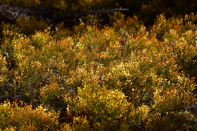
A little splash of fall color:
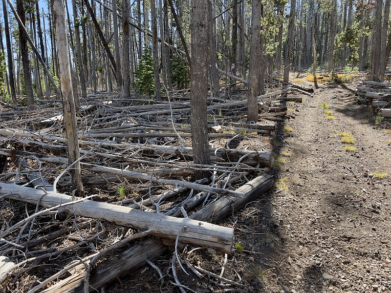
Thank goodness someone has been maintaining this route, or else it would be a complete mess of blowdown:
I traversed a meadow that is probably quite nice in early summer:

Looking back along the old road:

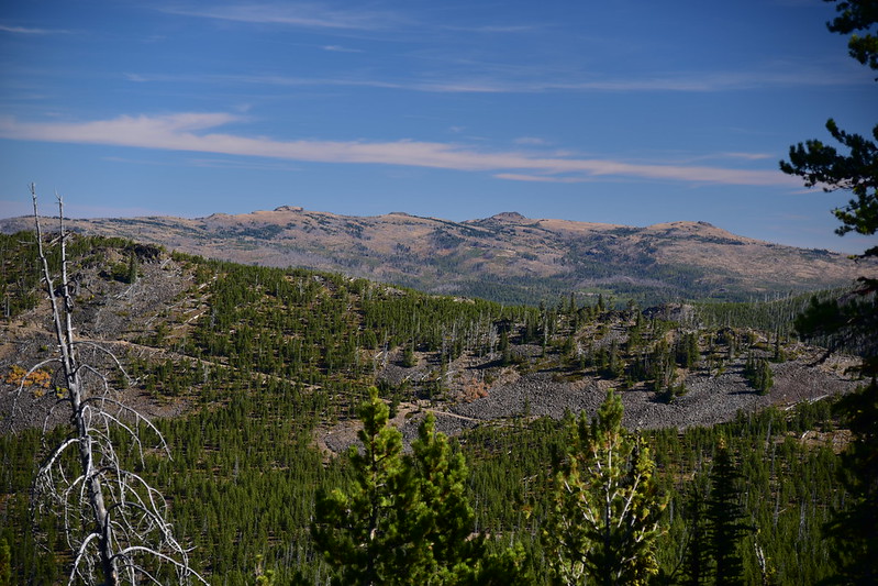
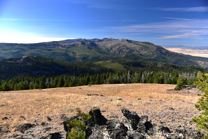
I reached a spot where I had a view of Graham Mountain in the Strawberry Mountain Wilderness to the west:
A view of Baldy Mountain (center) and Little Baldy Mountain (right):

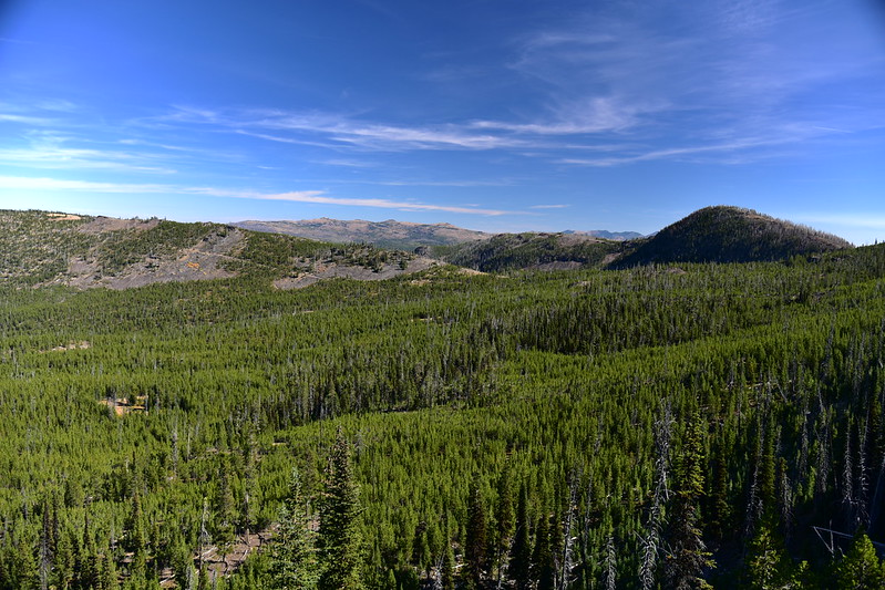
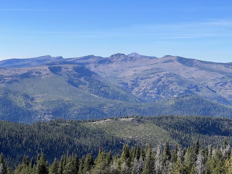
A view of the Monument Rock Wilderness to the east:
Glacier Peak at right:
Continuing on:
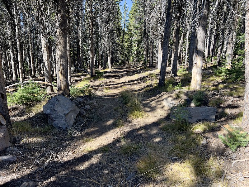
More signs of recent maintenance:

At 3.4 miles I reached the junction with Road 548, a rough road that comes in from the south. I knew about this road and decided I’d rather hike here than drive, although I ended up having to deal with rough road anyway! Interesting that the Forest Service once made attempts at blocking off vehicle access at both ends of the road/trail I had just hiked, but they didn’t take down the ancient road sign. Also, this sign is incorrect as there is no Road 1427 in that direction:

What little remains of the berm that once blocked vehicle access from driving on what is now the trail:

Looking south down the road. Doesn’t look too bad in this spot:

I turned left and followed the road to the top:

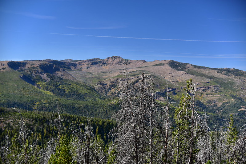
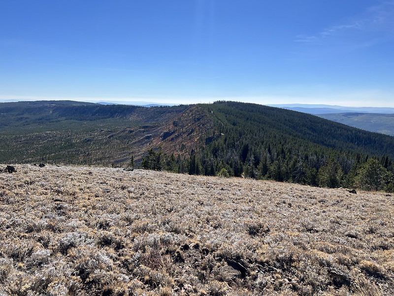
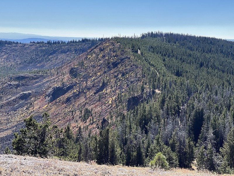
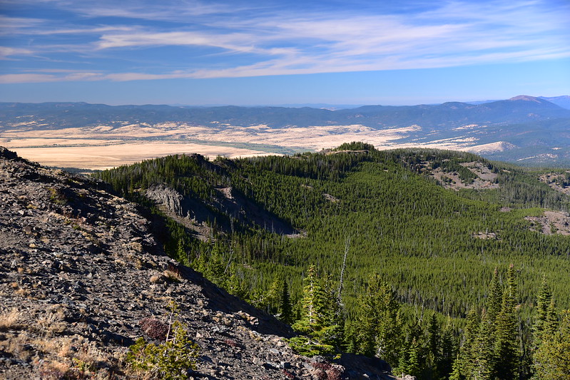
Pausing to look south. You can see the area on the left burned in the 204 Cow Fire that burned 9,600 acres in 2019:
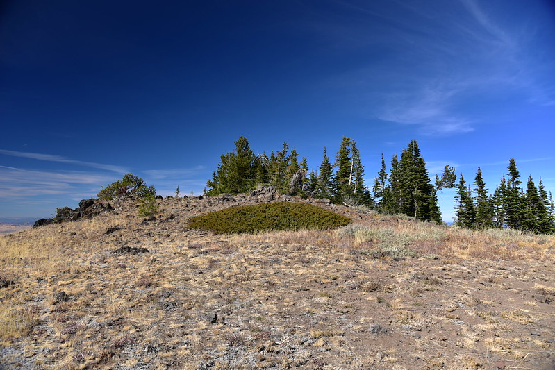
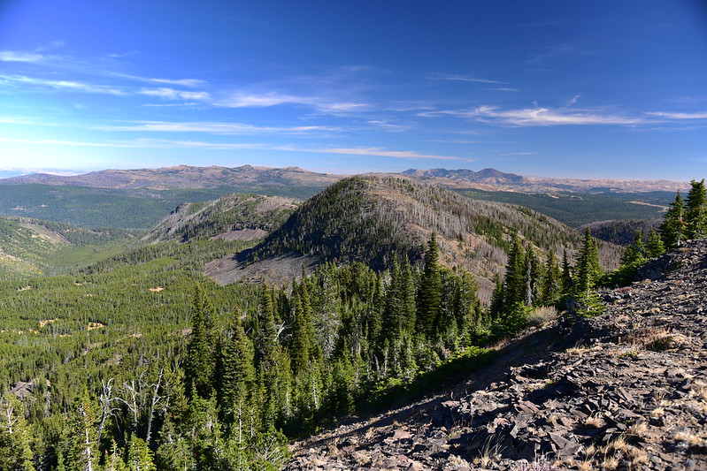
And here is the summit! Everything was brown after a hot dry summer, but I bet this is green and full of wildflowers in early summer. A 20′ fire lookout was built here in 1931. It’s long-gone and I didn’t find any footings or other evidence of it:

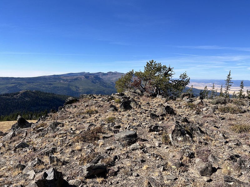
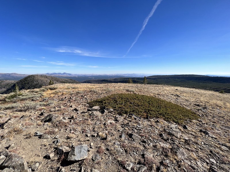
There are views in all directions, although thanks to a stand of trees on the north side of the summit you have to move around a bit to get all the views. Looking west to the Strawberry Mountain Wilderness:
View to the northwest. That’s the John Day River valley below:
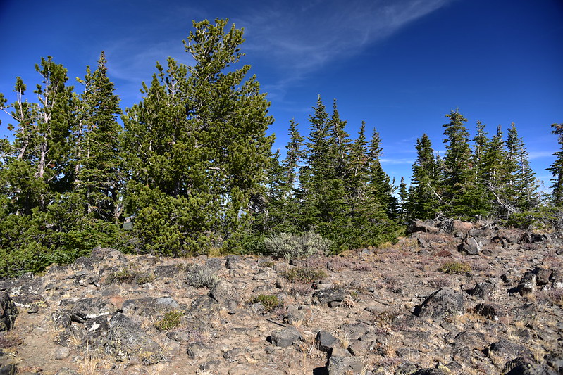
There are probably a lot of western larch trees out there, but they weren’t in color yet thanks to the warm dry autumn. View to the north:

View to the northeast:

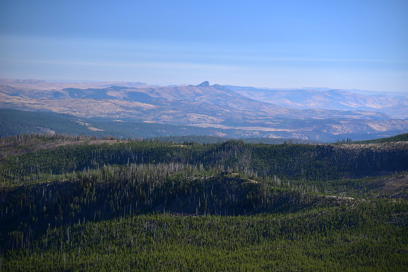
View to the east, with Glacier Mountain in the center foreground, and the Monument Rock Wilderness beyond:
Zoomed-in on the Monument Rock Wilderness:

The Sheep Creek Trail (the one I had wanted to hike to get up here) is down there in those burned trees somewhere:

View to the southeast and the distinct shape of Castle Rock:

The days are rapidly getting shorter and it took me longer to get to the trailhead than I thought it would, so I could not linger on the summit as long as I would if it were summertime. So I put my pack back on and started hiking back. On the way I noticed this very old mile marker on the Sunshine Flat Trail that said “2”:

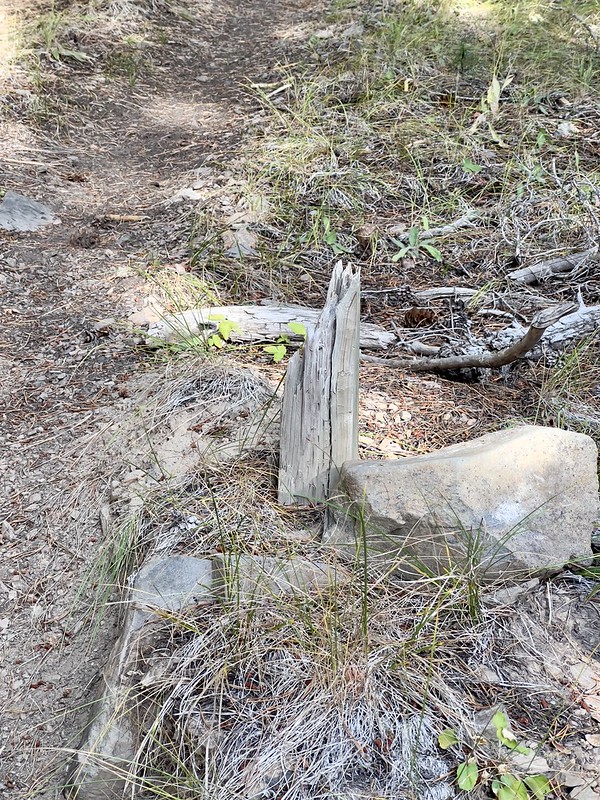
I reached the trailhead, then hiked the 0.4mi of road back to where I parked. I scoped out this unmarked road branching off and wondered if this was the other end of the seldom-traveled track I mentioned above, the one that follows the trail line on the topo map. Notice the bottom of a broken signpost:

This turned out to be a nice hike. It could have been quite a slog but someone has been maintaining it, thankfully. The destination was delightful and I’d like to come back in early summer.
Gaia stats: 8.2 miles, 1,650′ elevation gain