Friday, July 28, 2022
Our third and final hike in Glacier National Park was Siyeh Pass.
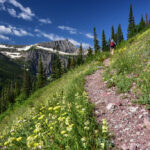
We parked at Siyeh Bend on the Going-to-the-Sun Road and headed up the Siyeh Bend Trail:


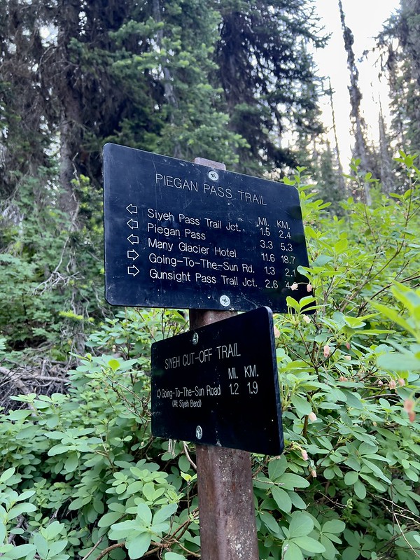
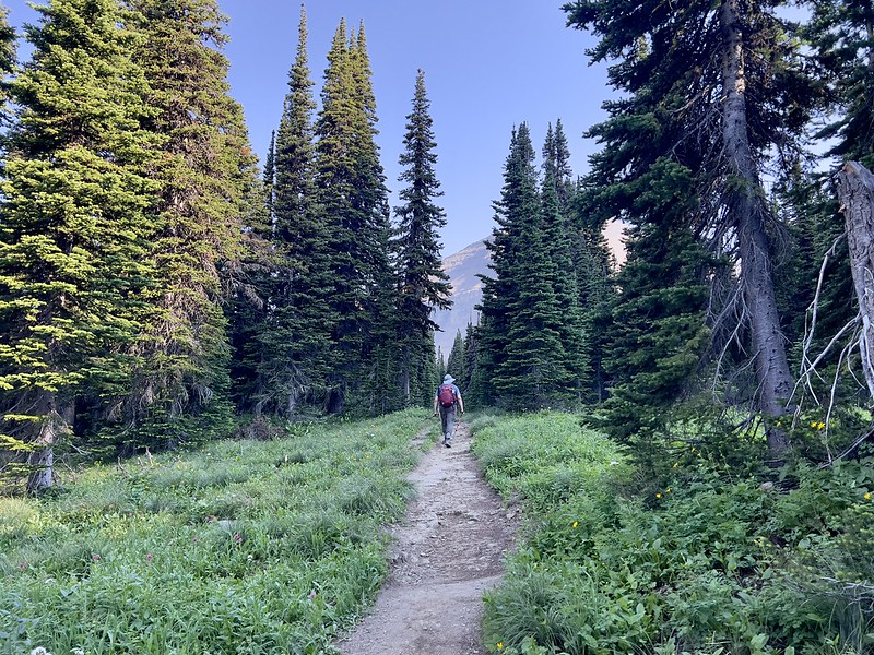
We reached the junction with the Piegan Pass Trail and turned left:

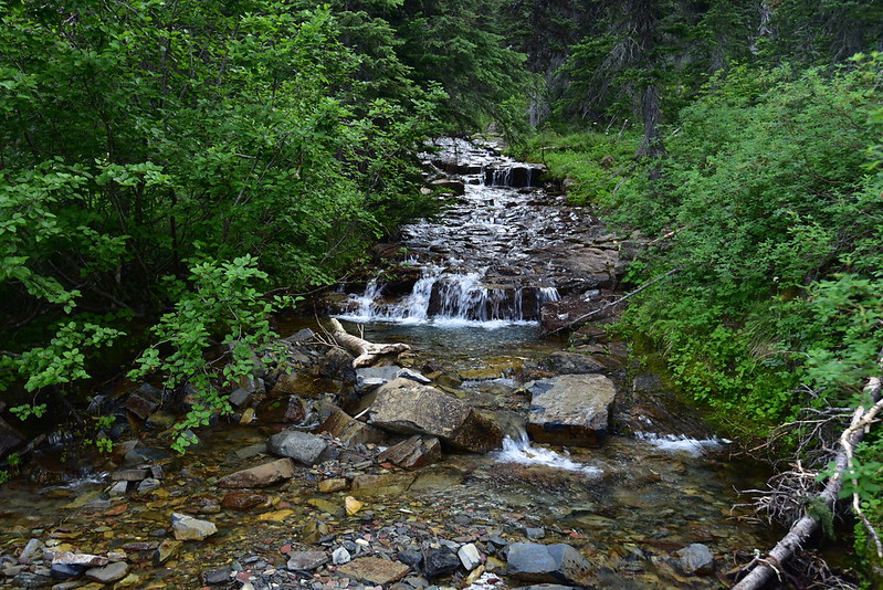
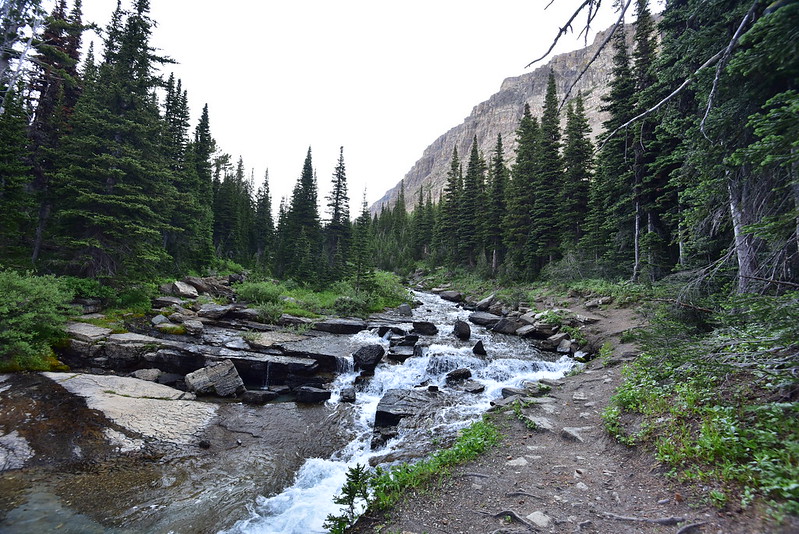
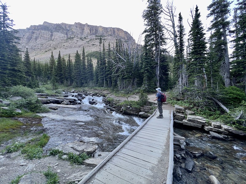
This is is Siyeh Creek, which we would cross again later:
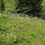
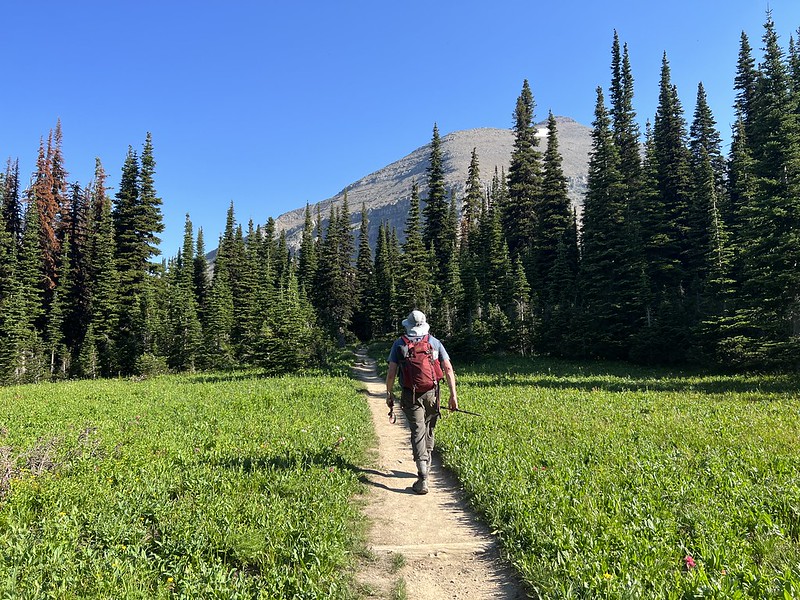
We started to get into some nice open meadows:
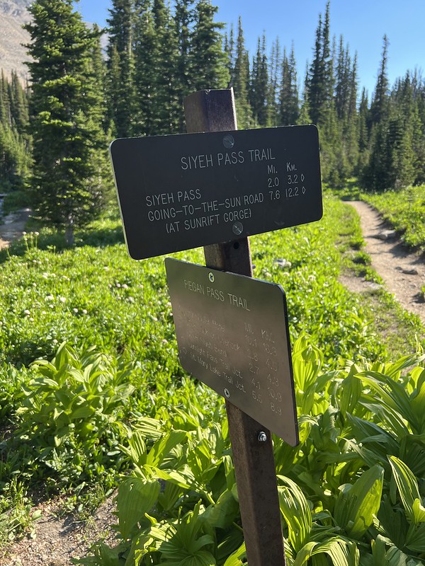
Another junction. Here we left the Piegan Pass Trail and turned right onto the Siyeh Pass Trail:

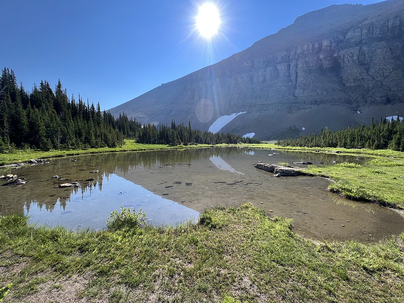
We passed some ponds where the mosquitoes were hanging out:
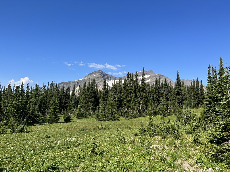
We were now getting into an area labeled on the map as Preston Park:
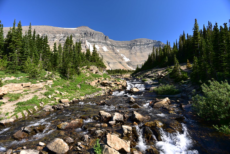
We crossed Siyeh Creek again:

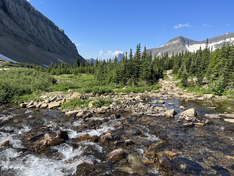

Shortly after crossing the creek we had a look back over Preston Park. Wow! What a gorgeous spot! In that moment it seemed like no spot along the rest of the hike could be as beautiful as this:

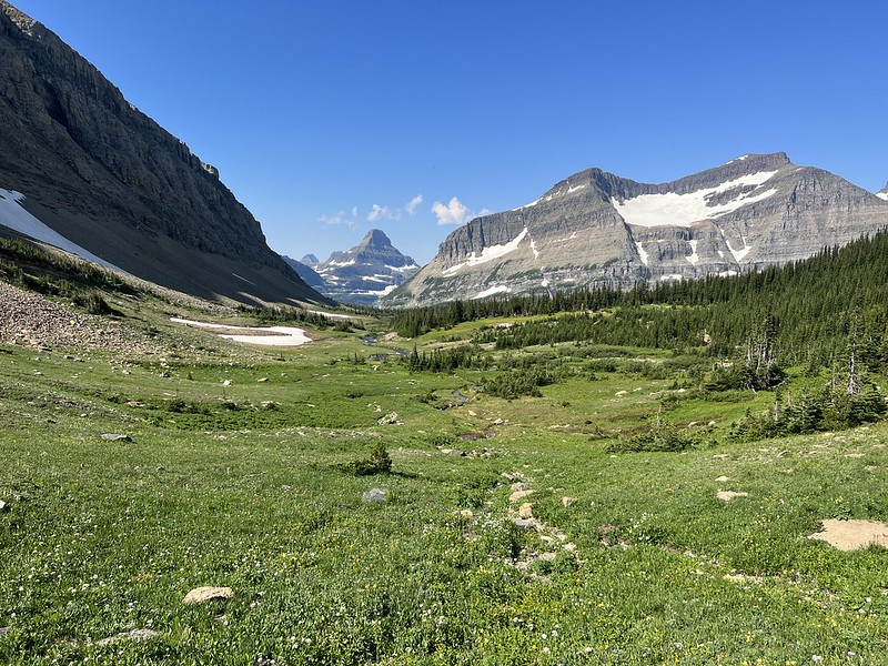

We continued on. Greg fell behind gawking at wildflowers but I kept going, eager to get the climbing part out of the way. The trail started switchbacking up towards the pass. This is looking back over Preston Park:
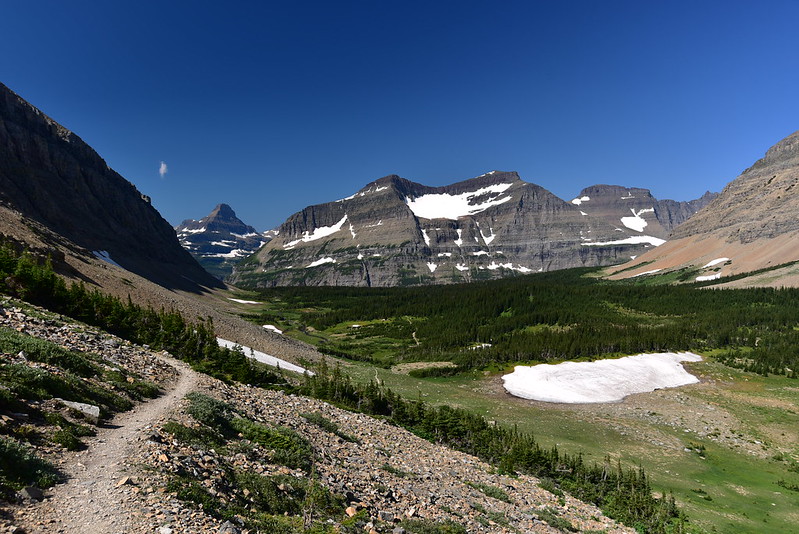
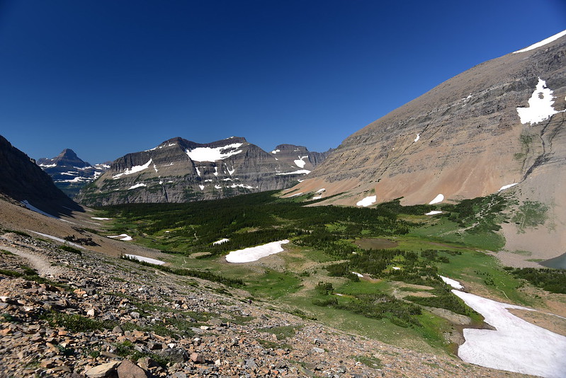
I had a good view of the two unnamed lakes that are at the head of Siyeh Creek:
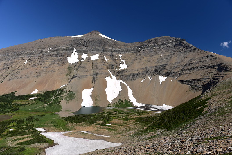
Climbing up:
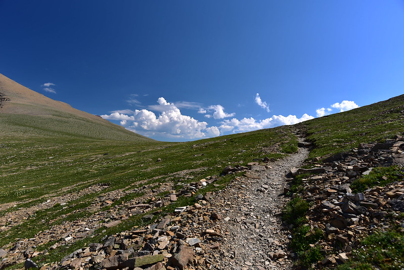
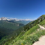
This is the low point between the mountains, but the trail stays high on the slope, so although it looks like the climbing is over, it isn’t:
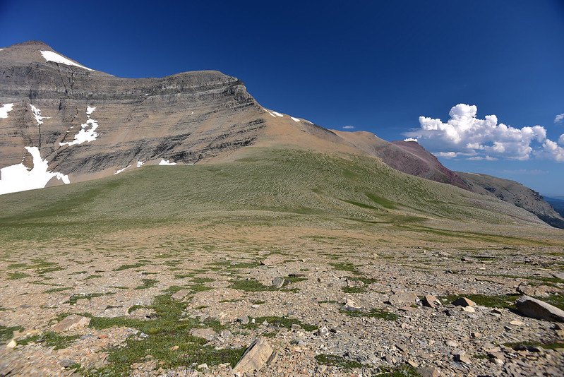
Looking back the way I came:
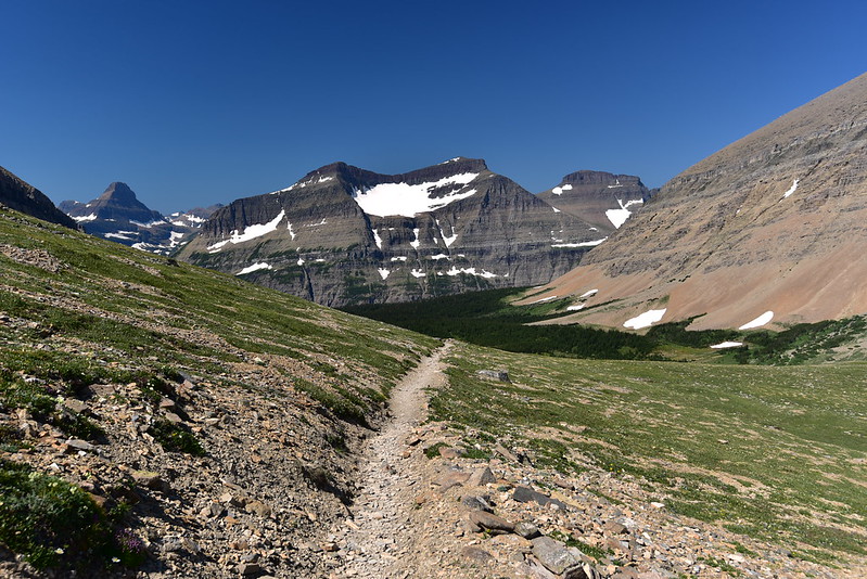
Greg still hadn’t caught up when I spotted a mama ptarmigan and two chicks just off the trail. So cool!

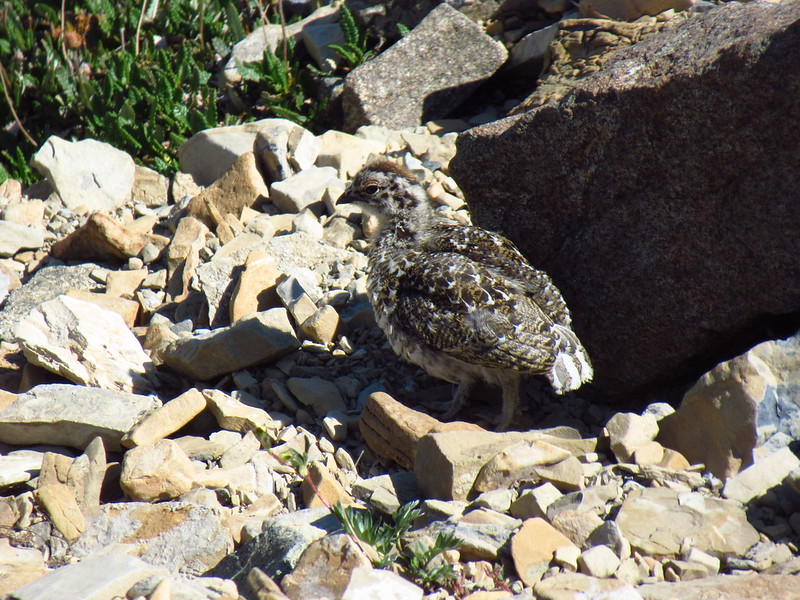

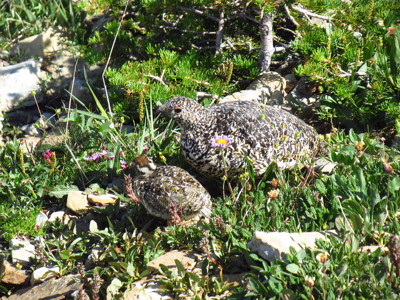
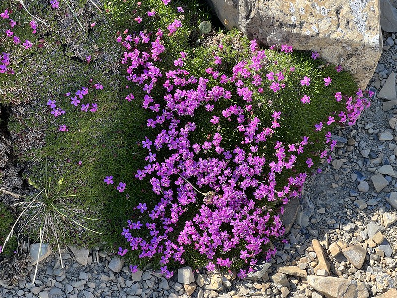
I watched from a distance, then kept hiking on. I passed this brilliant patch of phlox:
Switchbacking up higher:
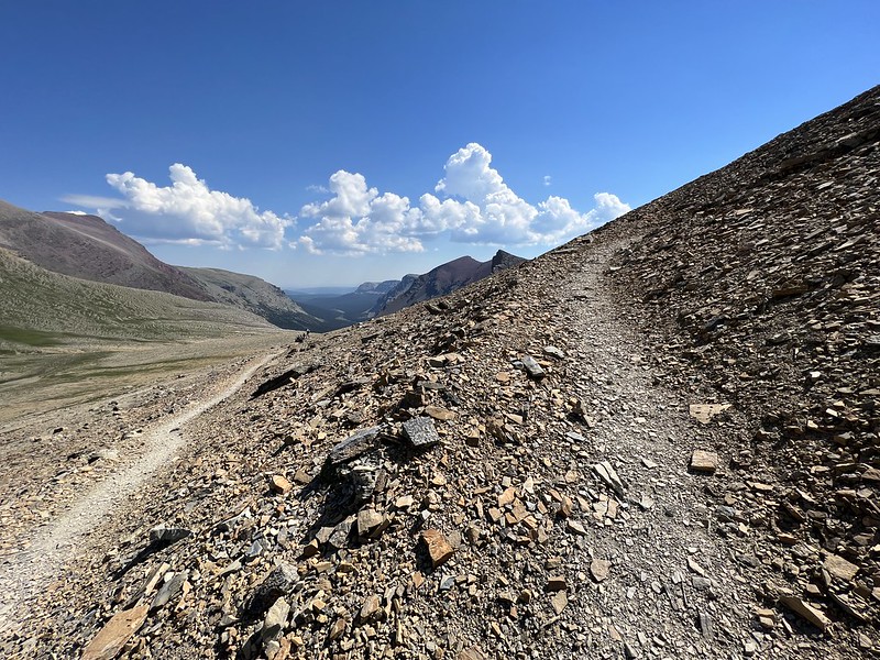
Finally reached the high point of the trail!
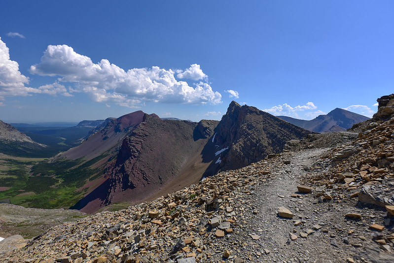
Looking down the drainage of Boulder Creek:
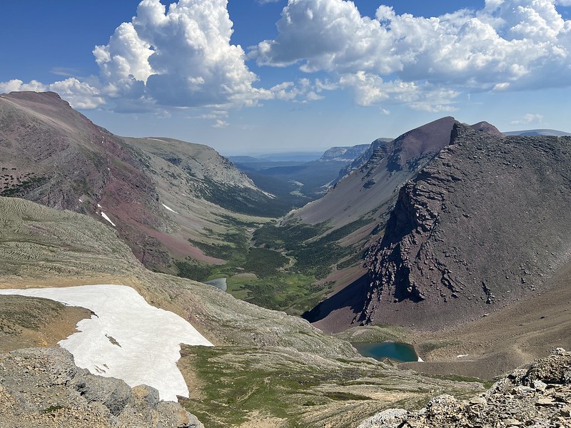
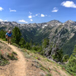
View from the trail:
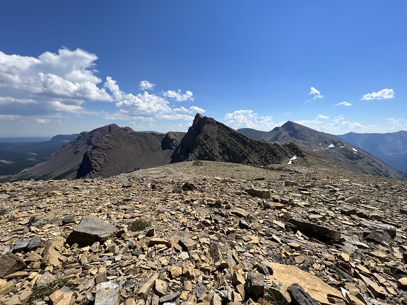
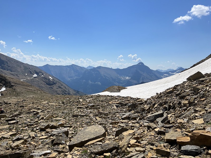

Saw a marmot here:

Greg finally caught up and we took a break at this high point before continuing. Now we would descend down the other side of Siyeh Pass:

We can see our route along Baring Creek far below at lower left:

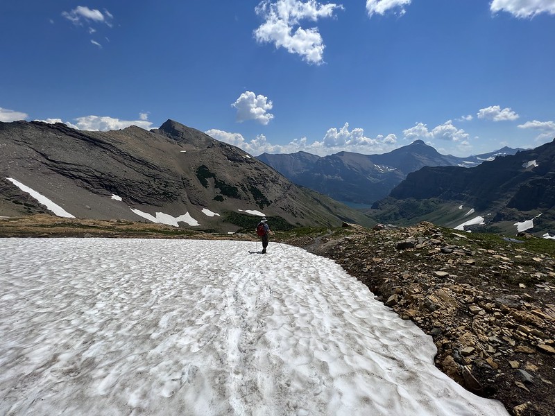
There were lingering patches of snow on the trail:


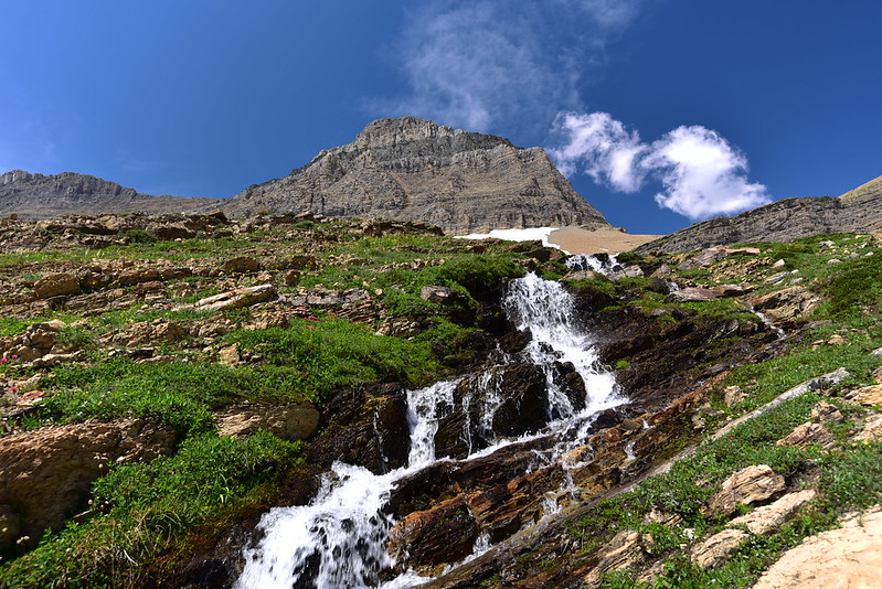
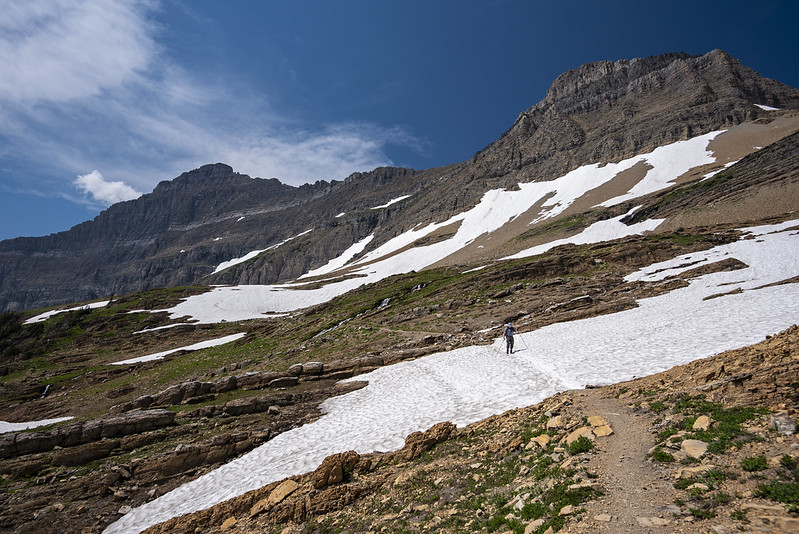
The descent along many switchbacks turned out be a really nice stretch of trail. All the melting snow resulted in lots of gurgling snowmelt creeks and lots of wildflowers. It was an alpine garden and super lovely:




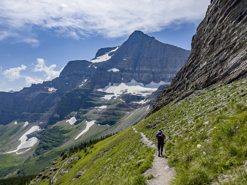

After a certain point we had descended far enough that we could look back to where we had come from. Siyeh pass is at dead center in this photo:

We continued crossing little creeks and passing wildflowers, all the while surrounded by mountains:


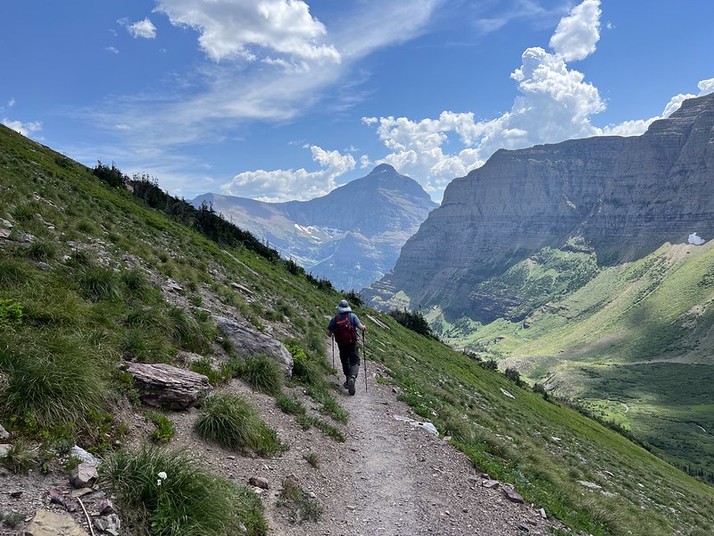
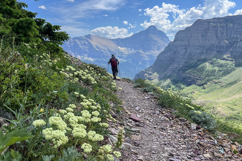

This area was burned in the 2015 Reynolds fire and was dotted with burned snags:
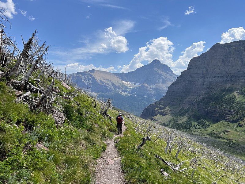

Switchbacking down to Baring Creek:


A bit brushy here!
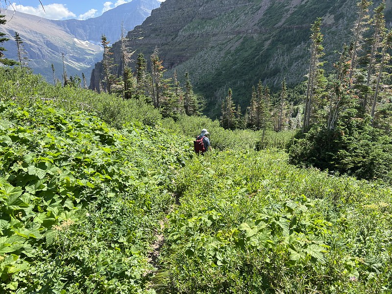
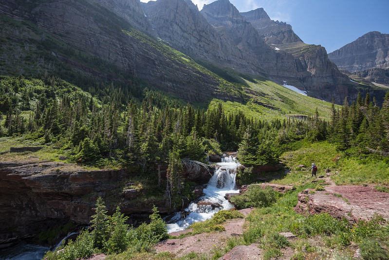
We reached this nice waterfall, which doesn’t seem to have a name. We took a break here to filter some water since we were getting low:
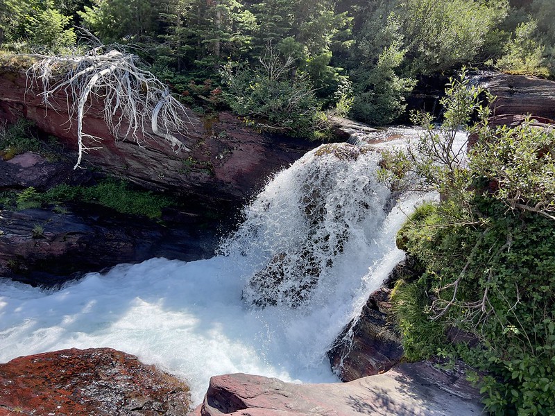
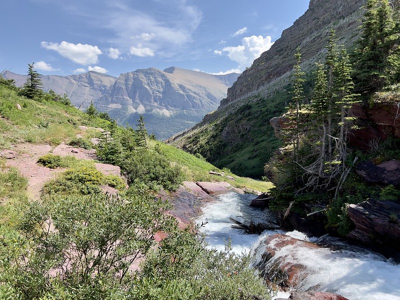
This is just above the falls:

Then we continued making our way downstream:

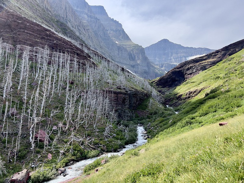
We were getting pretty hot and tired by this point and I stopped taking pictures. We were very glad to reach the trailhead at Sunrift Gorge. I briefly stopped to take a picture of the gorge before we went to the shuttle stop:

It was a very hot no-AC shuttle ride back to our car at Siyeh Bend, but we were grateful for the service since we couldn’t have done this hike otherwise. Since our starting point was higher than our ending point our elevation lost was more than our elevation gain. We REALLY liked this hike and would absolutely do it again on a return visit.
Gaia stats: 10 miles, 2,250′ elevation gain, 3,400′ elevation loss
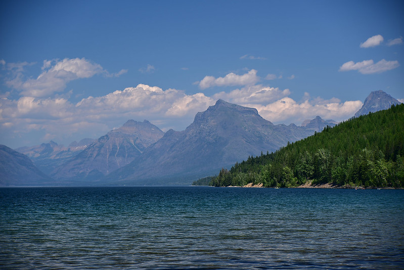
This was our last hike in the park. We were too tired to hike the next day so after we packed up and left the campground we went to McDonald Lake and hung out with our chairs, books, and snacks. It was most pleasant!
Video:
