Sunday, June 19, 2022
On the third day of our camping weekend, Deb and I hiked up the Beverly Turnpike Trail.
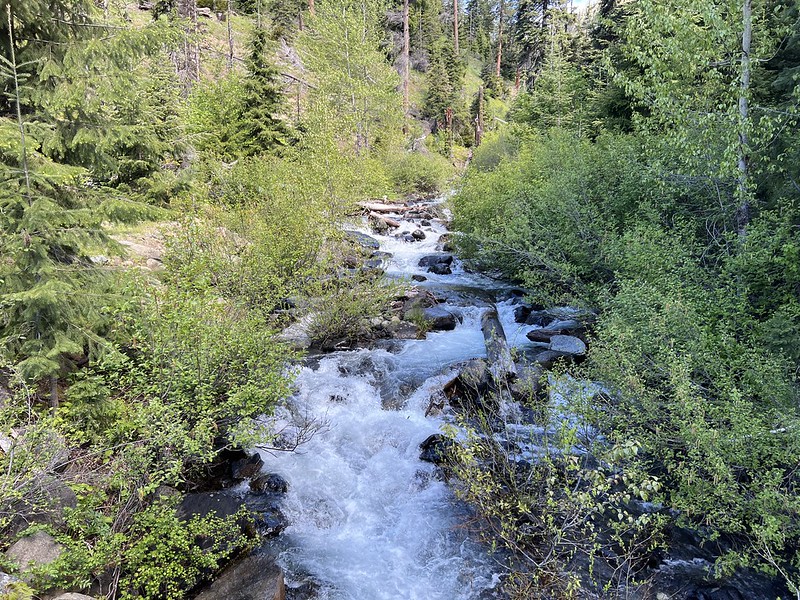
The last bit of road to the trailhead is a bit rough with a couple big dips, but the Outback did fine. There were 15 cars when we arrived at 10 AM and it was 55°. We crossed the bridge over Beverly creek:
Crossing Beverly Creek:


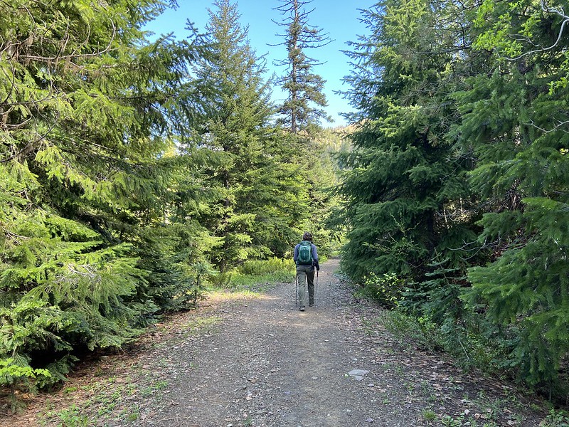
We hiked half a mile, then turned left at a junction:
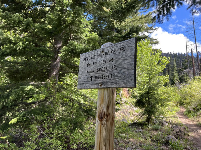
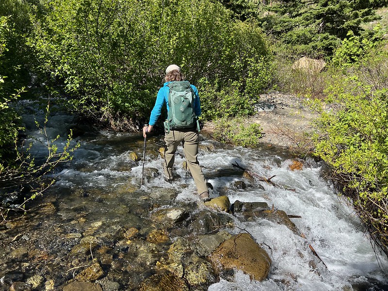
The other trail heads to Bean Creek Basin, which is where most people must have gone because we saw hardly anyone on the hike. Just past the junction is a crossing of Bean Creek. The crossing wasn’t quite doable as a rock hop, so I took off my boots, put on my crocs, and waded across. I forgot to take pictures in the morning so these are on the way back in the afternoon:

Then the trail heads upstream along Beverly Creek in the forest:
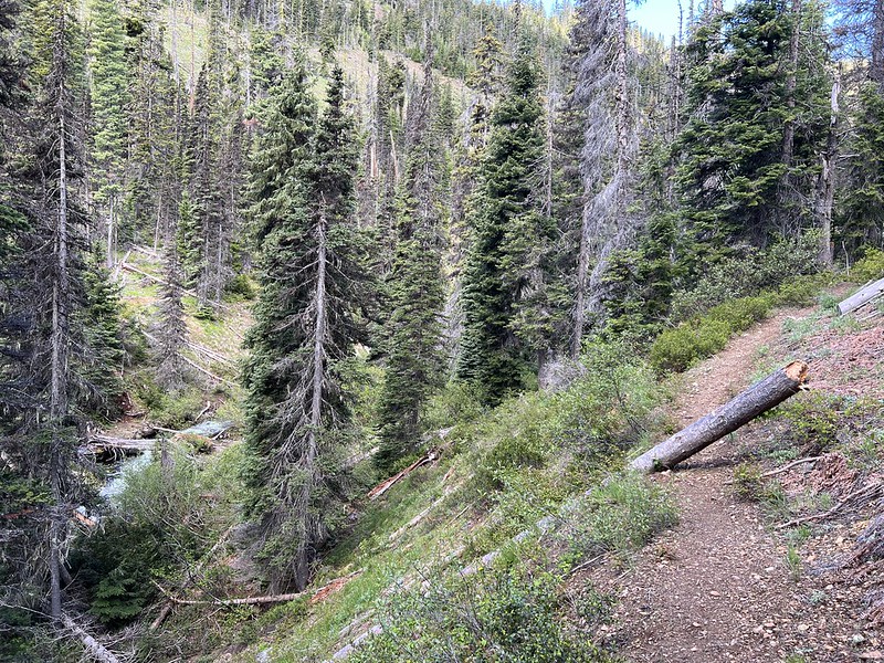
Crews haven’t been out here yet this year and we had some blowdown to crawl over:

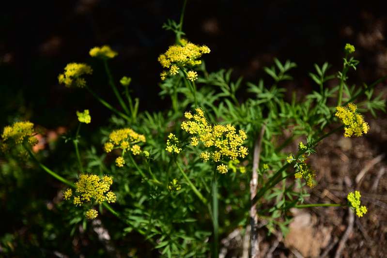
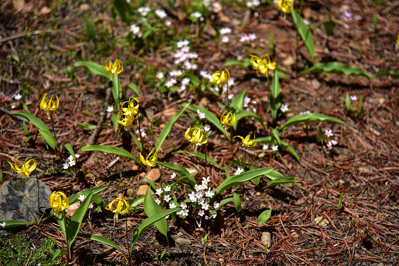
Fairy Slippers:

Deb hiked ahead and I caught up to her at a nice creekside spot where we took a little break:
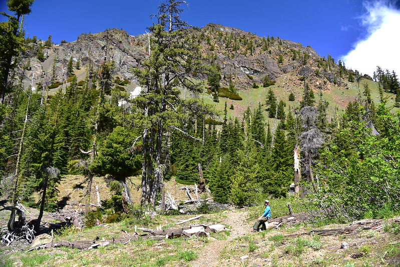
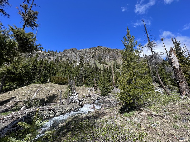
Then we continued up the trail:


We encountered a few snow patches:

But we also saw some early wildflowers. Snow dwarf primrose:
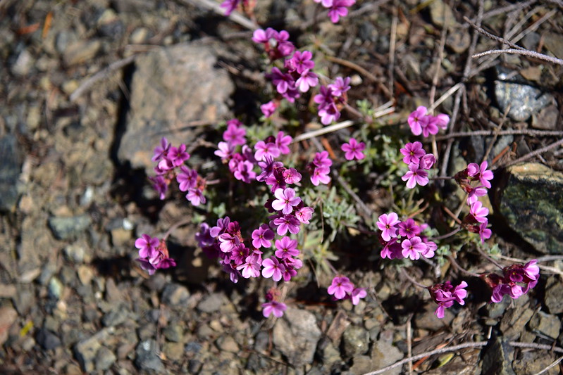
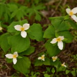
Western spring beauty:
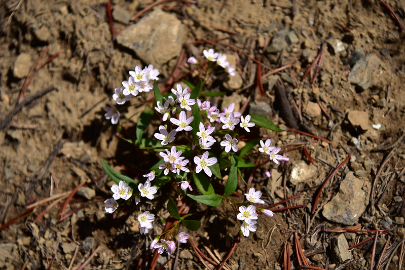
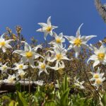
Western spring beauty and avalanche lilies:
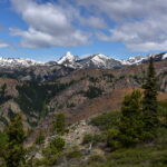
The mountains around us still held onto a lot of snow:

We reached the junction with the Fourth Creek Trail and turned right, hiking uphill 0.3 miles to a forested pass and the junction with the Hardscrabble Trail.
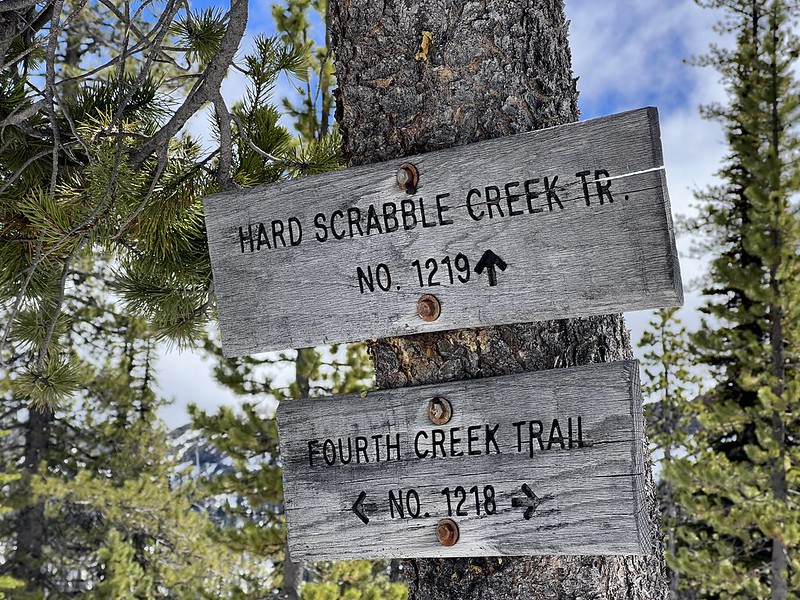
There was plenty of snow there:

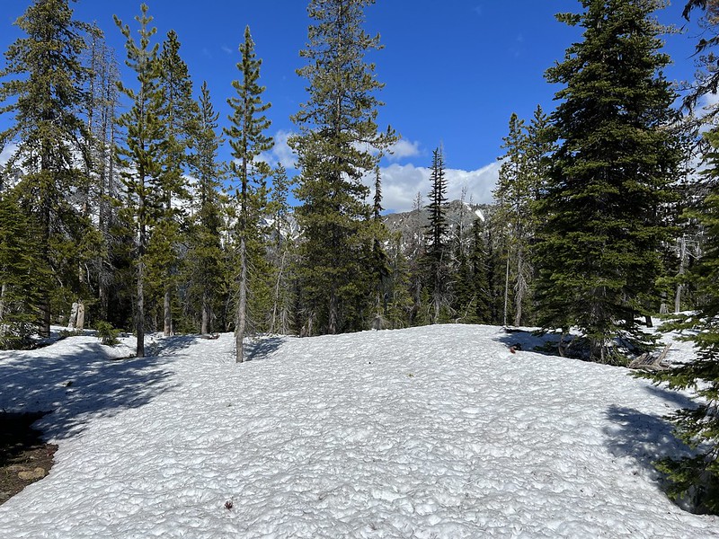
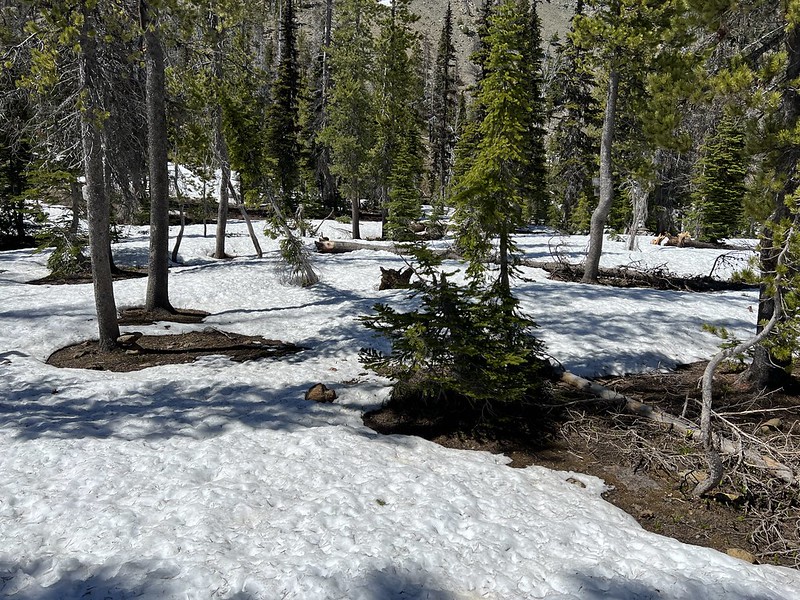

This is also the boundary of the Alpine Lakes Wilderness:
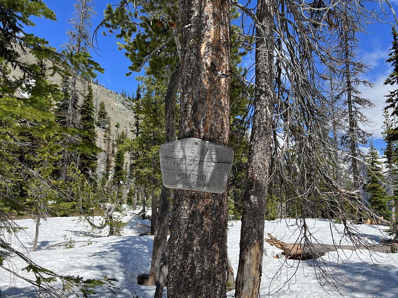
Pretty nice views here! We sat on a bare patch of ground and enjoyed the quiet and scenery for awhile:

The snow-buried Hardscrabble Trail continues to a formation called Volcanic Neck:
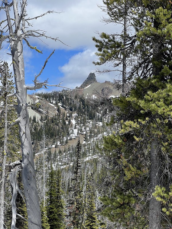
There are probably great views up there but we didn’t go that far due to the snow. But we did got a short distance on the trail to see if we could get slightly better views:
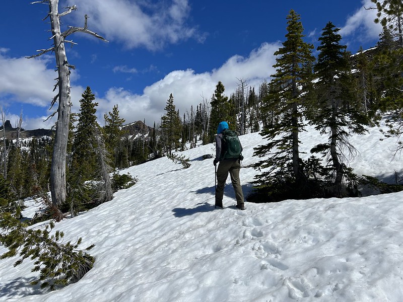
As a matter of fact, yes, there are slightly better views of Argonaut Peak, Colchuck Peak, Dragontail Peak, and Little Annapurna:
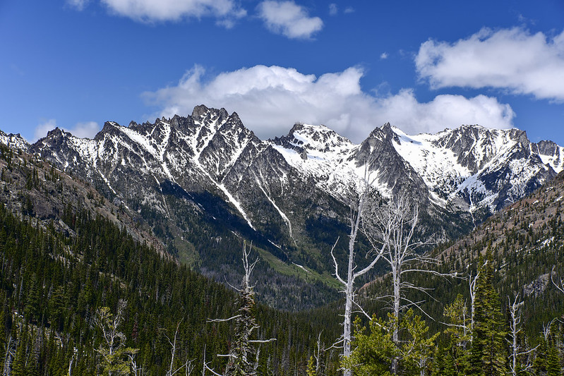

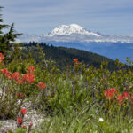
We couldn’t see the biggest mountain in the range, Mt. Stuart, but then we spotted it’s snowy white summit poking up behind a saddle:

We had a good view of Iron Peak and Bill’s Peak:

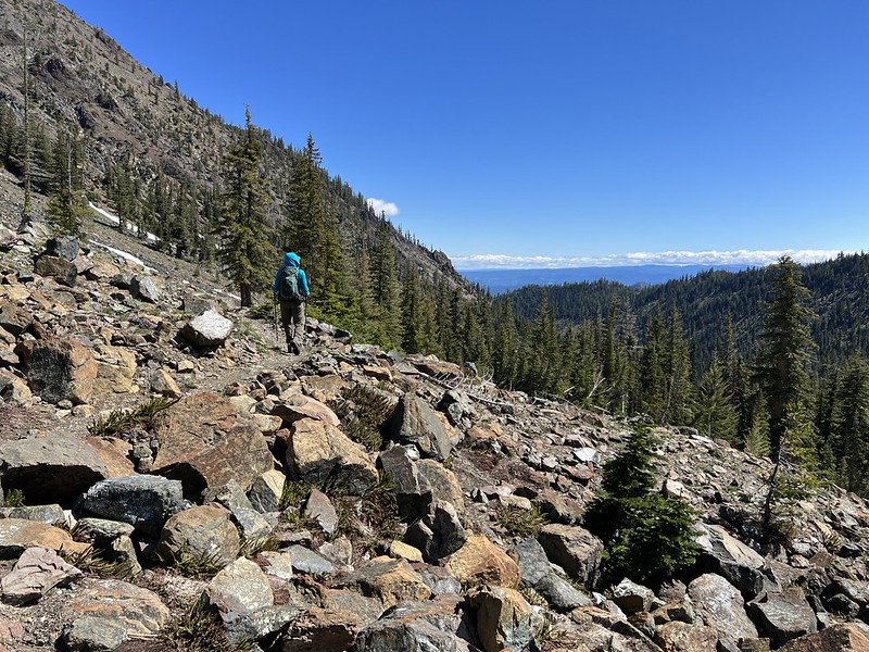
Heading back down to the car:

This was a nice hike! We saw hardly anyone and the snow didn’t stop our progress. It would be nice to come back here some year later in summer when the snow is melted and go further.
Gaia stats: 6.4 miles, 1,900′ elevation gain
Video:
