Sunday, October 4, 2020
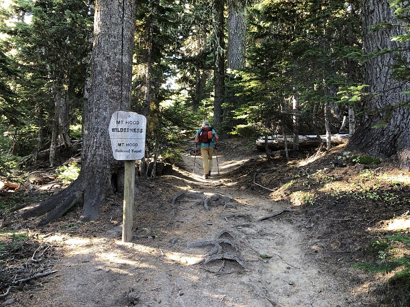
Today we hiked the Timberline Trail to Gnarl Ridge. We started at Cloud Cap and headed south, entering the Mt. Hood Wilderness right away:
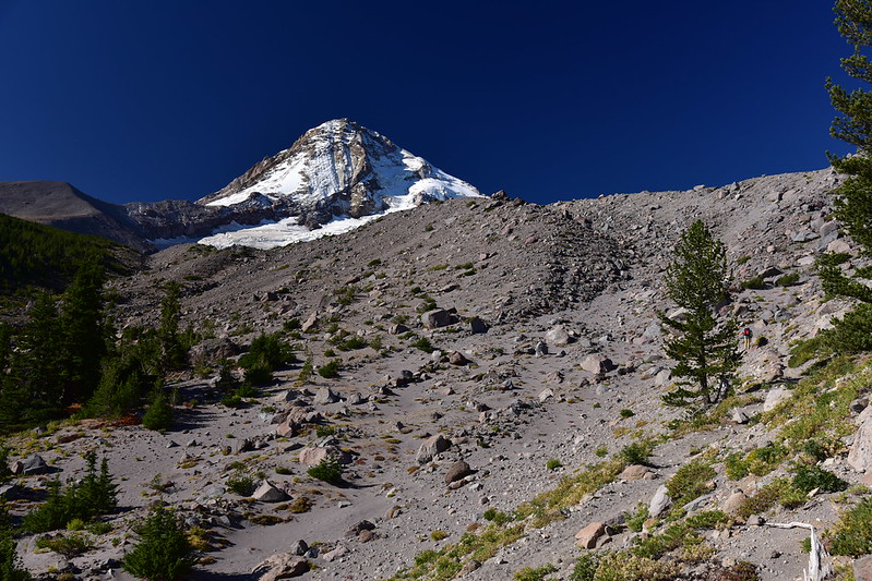
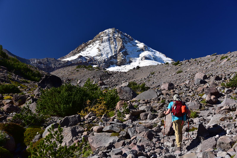
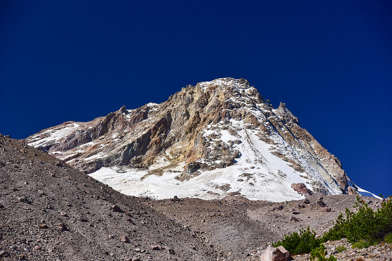
Our first peek at the mountain:
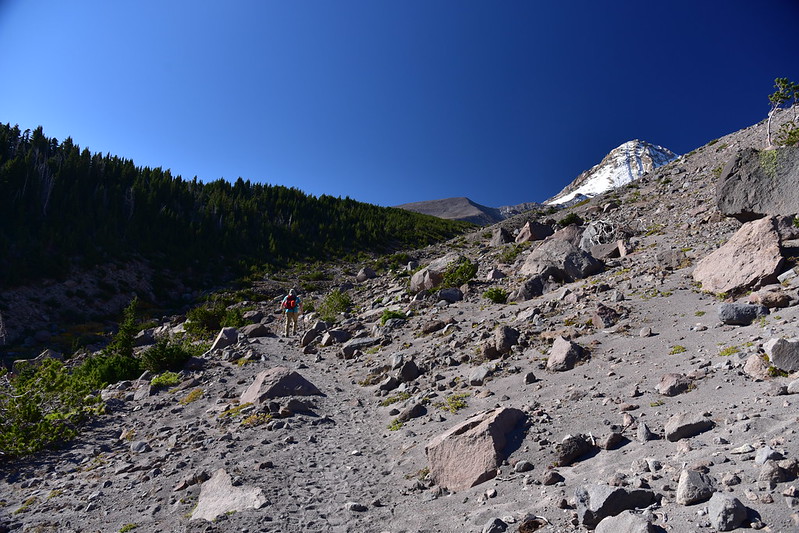
Continuing on:
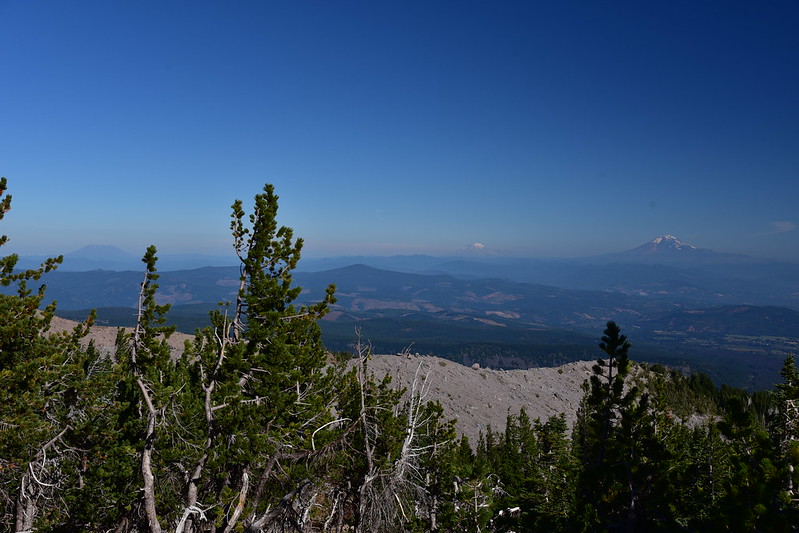
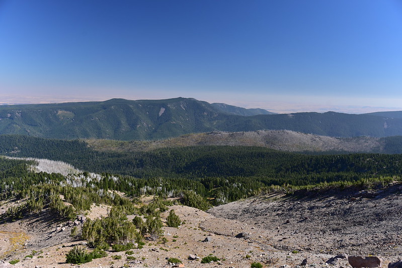
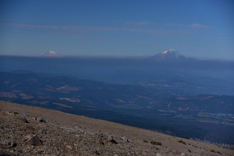
Looking north to Mt. St. Helens, Mt. Rainier, and Mt. Adams, with some haze:
After 1.1 miles we passed the junction with the Cooper Spur Trail and continued along the Timberline Trail:

Looking back at the Cooper Spur Shelter:

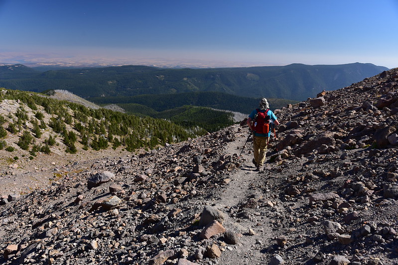
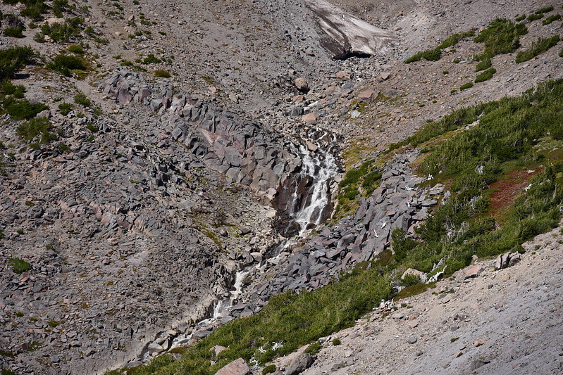
The landscape here is pretty barren:


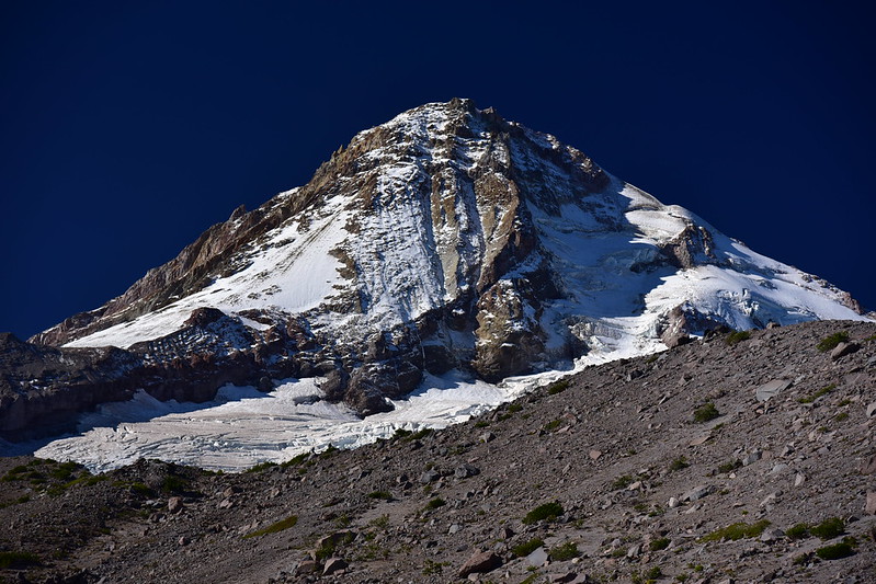
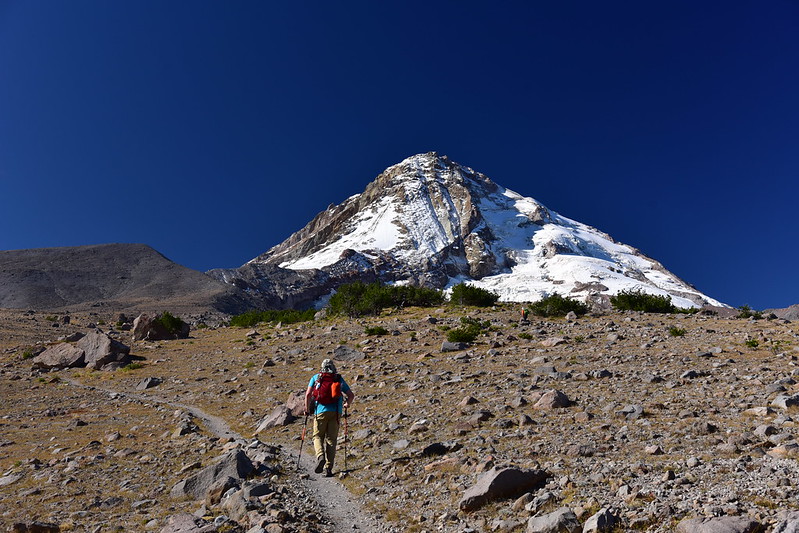
Mt. Hood again:
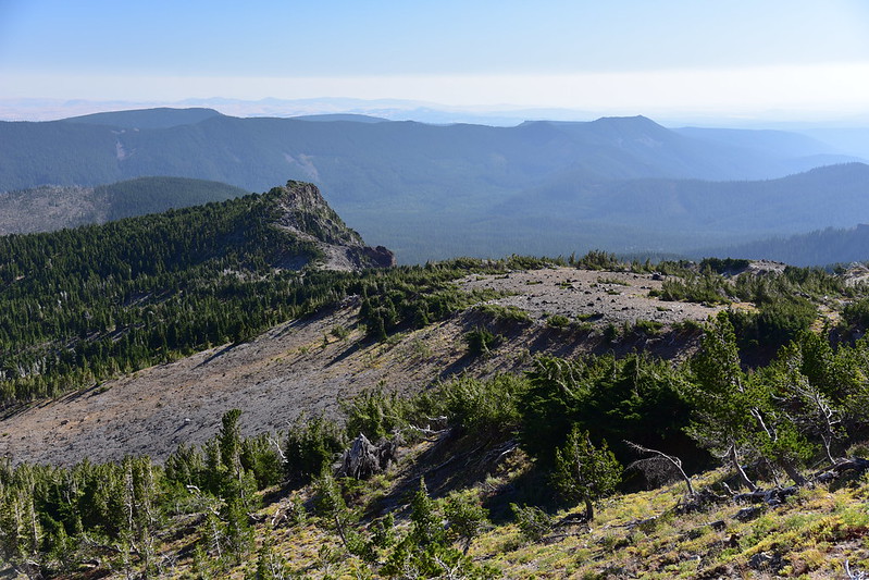
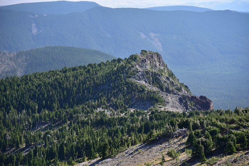
Lamberson Butte came into view:
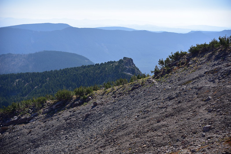

Looking east to Lookout Mountain:
We reached a nice viewpoint at the top of Gnarl Ridge:

There’s a rockpile there:

I wanted to go as far as Lamberson Butte, but the trail started losing elevation on its way down Gnarl Ridge, so we turned around and headed back to that viewpoint:

Hazy view of Mt. Jefferson:

Heading back this was our parting view of Lamberson Butte:
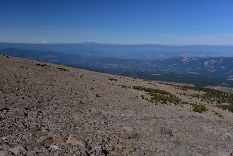
On the way back we could see the haze in Washington had gotten worse:


Gaia stats: 7.25 miles, 2,000′ elevation gain


