Sunday, September 27, 2020
Today Greg and I headed to the Stagman Ridge Trailhead in the Gifford Pinchot National Forest in order to visit Lookingglass Lake. It was a chilly 43 degrees when we arrived at 9:45:
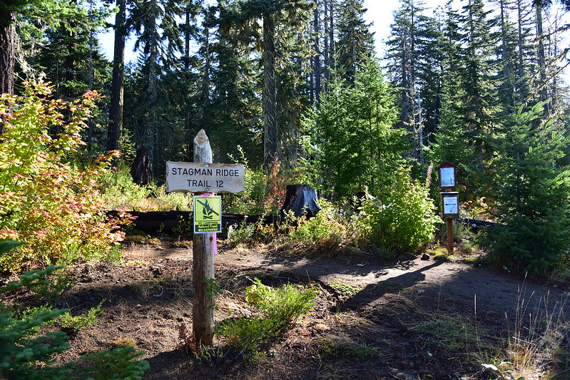
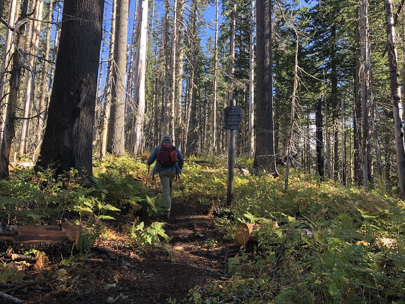
The first part of the hike starts out on an old:

We passed the Mt. Adams Wilderness boundary at 0.6 miles and entered the burn area from the 2012 Cascade Creek Fire:


We passed two men with overnight packs on their way out. I asked if it got cold up there last night and one of them said “very“. He said it was wet too.
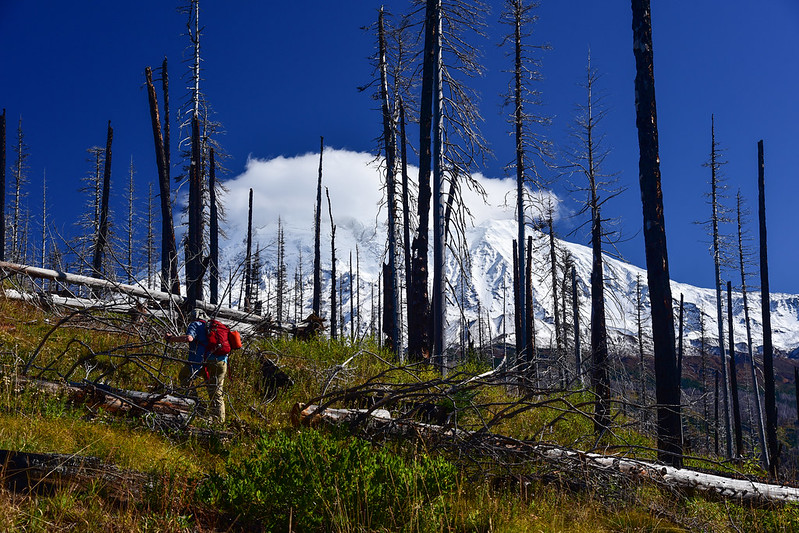
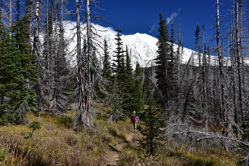
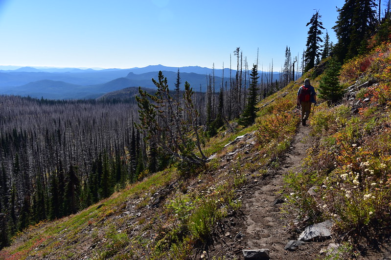
We continued up Stagman Ridge, hiking through burned trees. We could now see Mt. Adams through the snags. It had a big cloud on it:


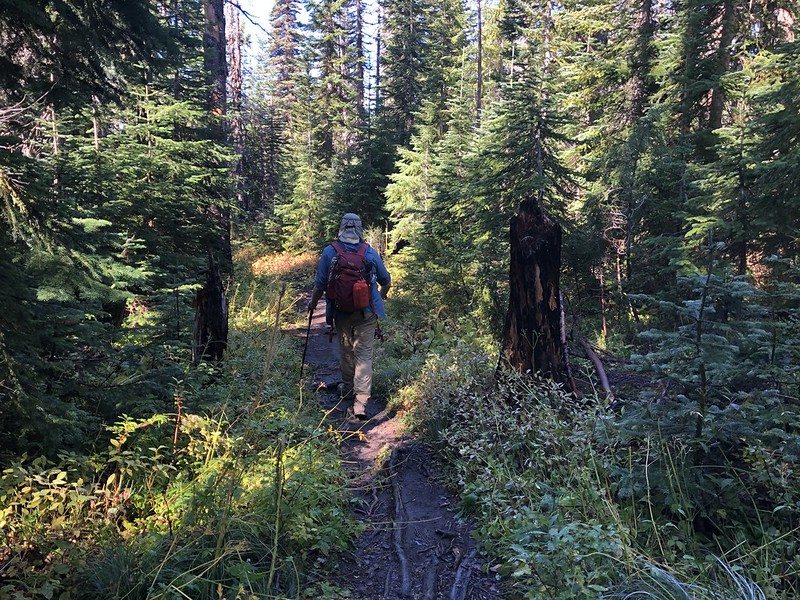
The trail descended down into an unburnt area:
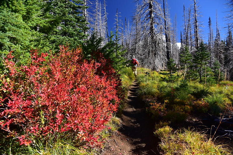
Then the trail ascended again. This was pretty much the only good fall color we saw all day:

At 3.1 miles the trail traverses a large meadow with Mount Adams blooming above the trees on the far side:

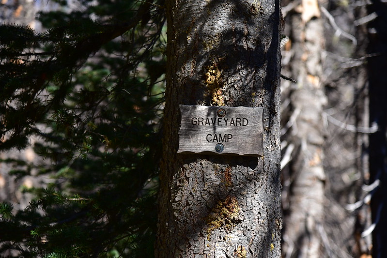
We reached the junction with the Graveyard Camp Trail at 3.5 miles:
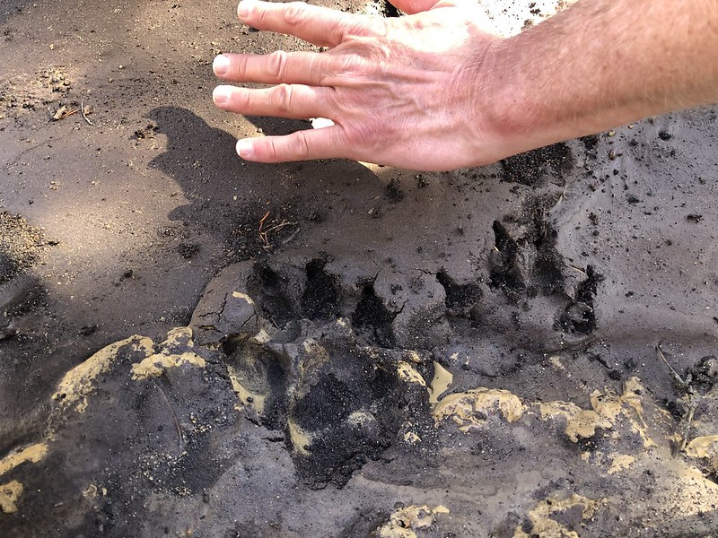
At the junction we saw big tracks in the mud. I have no idea what creature made these:
We had to navigate some blowdown along this stretch, as well as dip in and out of several gullies:

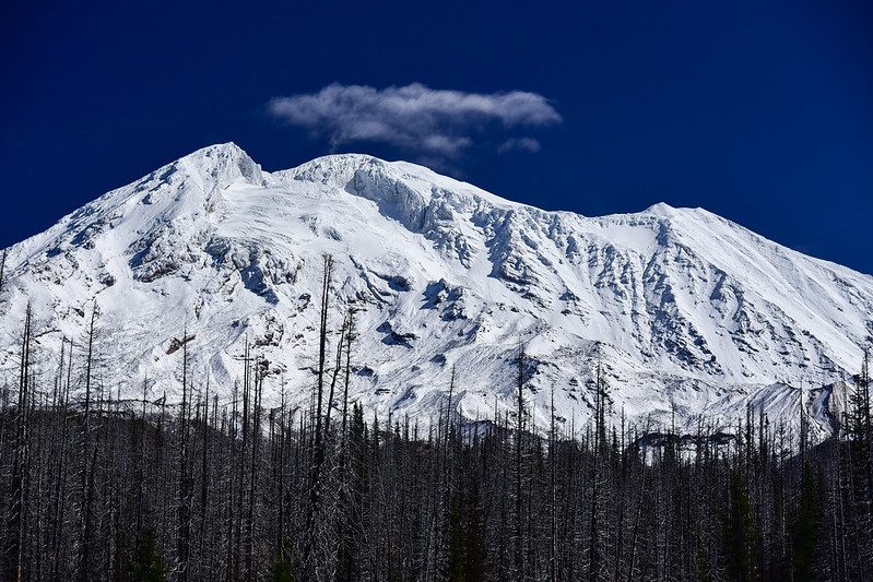
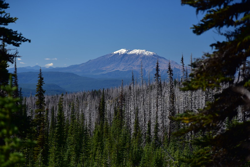
We got a glimpse of Mt. St. Helens:

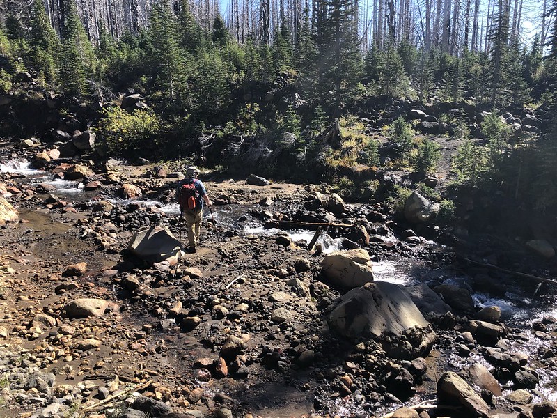
At 4.3 miles we crossed the creek:
The junction for the spur trail to Lookingglass Lake is right after the creek. Unfortunately the lake burned in the fire, but it was still a pleasant spot:

We found a spot to sit and enjoy the view. It was 60 degrees in shade at 1pm. Not too bad for late September!

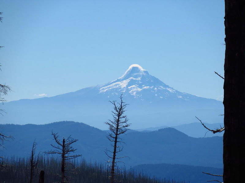
There’s one spot at the lake where you can see Mt. Hood to the south:
After soaking up the sun at the lake for awhile, we continued on:
Another view of Mt. St. Helens:

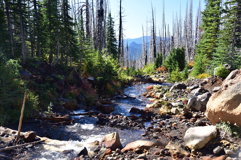
We crossed the creek again:

After hiking 0.8 miles from the lake we reached the Round the Mountain Trail and turned left. This stretch had great views:


We reached Horseshoe Meadow, which looked a lot different from when I visited in August:


We turned left off the PCT onto the Stagman Ridge Trail:

It was 0.8 miles to the Graveyard Camp junction, then 3.5 miles back to the car. Great hike!
Gaia stats: 11.3 miles, 2,100′ elevation gain


