Friday, September 4 – Monday, September 7, 2020
For our four-day Labor Day weekend we headed to the Three Sisters Wilderness.
The forecast was calling for HOT weather which meant the backcountry would probably be even more crowded than normal for a holiday weekend. Fortunately we were headed to the southern part of the Three Sisters Wilderness. Unlike the northern part where the peaks are, the southern part is a pretty different world with lots of trees, not many views, and far fewer people.
We drove south from Portland, through Bend, and headed out the Cascade Lakes Highway. It wasn’t until Bend was far behind us that Greg thought it would be great to bring a cold beer in his pack. We stopped at the Elk Lake Resort to see what they had. The place was BUSY but he was able to buy a six-pack of pilsner for $15:
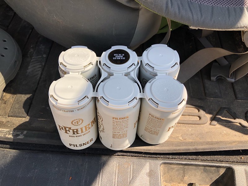
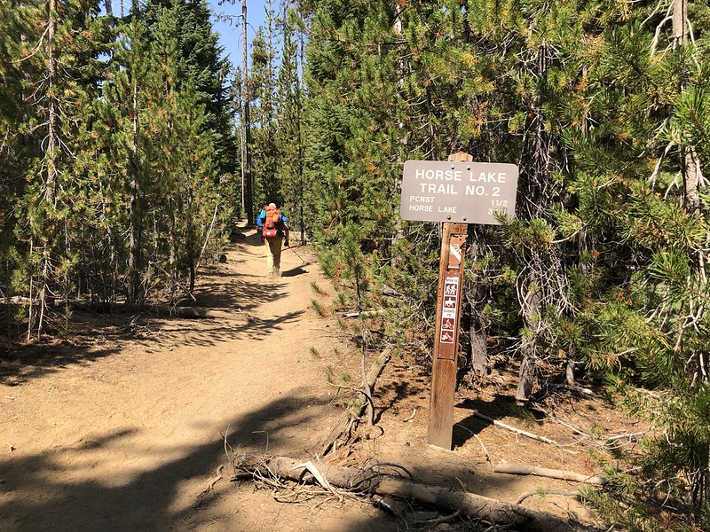
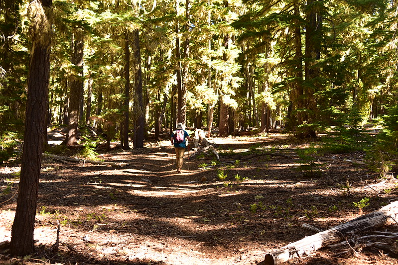
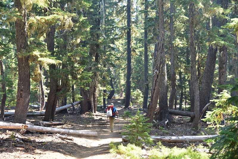
We crossed the highway, parked, and loaded down our already-heavy packs with six cans of pilsner. My pack weighed 42 pounds and Greg’s weighed 39 pounds. Good thing we didn’t have far to hike! We set off down the Horse Lake Trail:
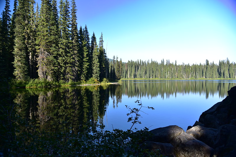
We entered the wilderness and kept hiking:


We spotted this sticking out of a downed tree. This probably had one of those old ceramic insulators for phone line leading one of the wilderness lookouts back in the day:

We hiked through a small meadow:

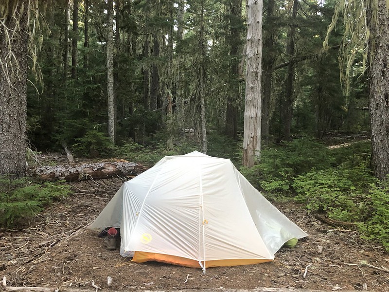
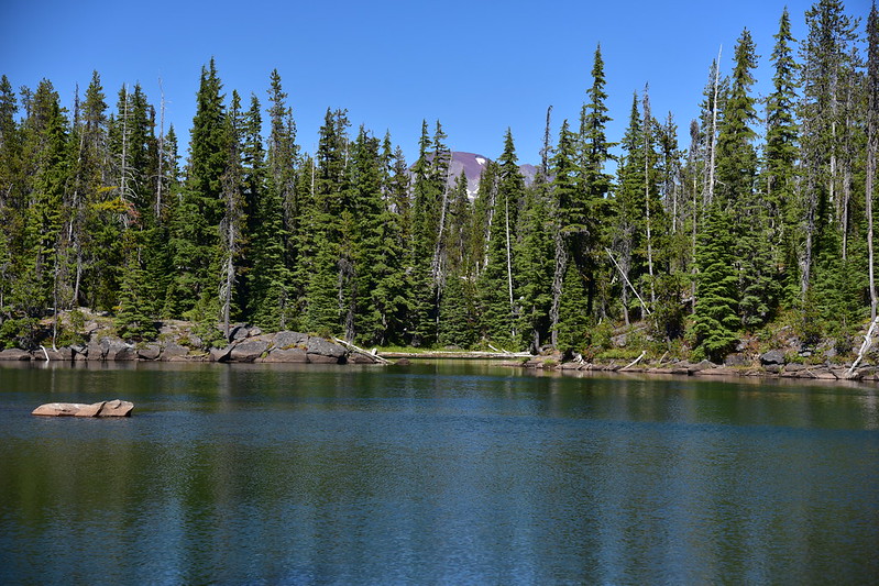
At 3.6 miles we reached the junction with the Horse Creek Trail and decided to turn right although we later learned it’s much easier to reach the lake by going left and following the Park Trail. From the Horse Creek Trail we found a user trail heading down the western shore of the lake. It’s unofficial and doesn’t see maintenance, so it was a bit of an obstacle course. There are not many campsites here, but we found a place to pitch the tent:
We sat in a camp for a little bit enjoying two of the pilsners before setting off for a swim. From the lake shore we could see Mt. Bachelor:

Near our site is a large peninsula sticking out into Horse Lake. There was a large group camped there, although they were not present when we passed through:

From the peninsula we could see South Sister and Red Hill:

There’s Mt. Bachelor peeking up in the distance:
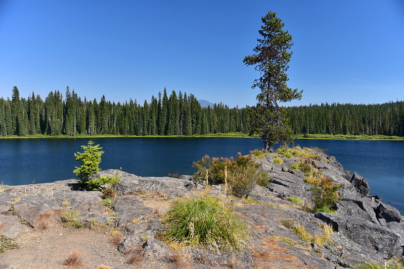
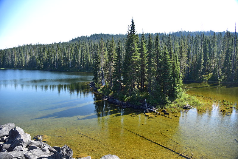
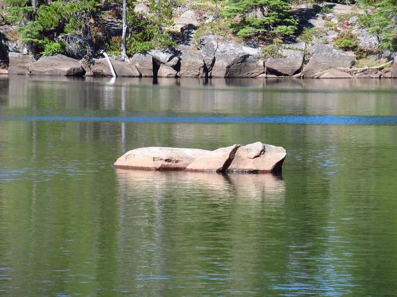
There’s a little island right next to the peninsula:
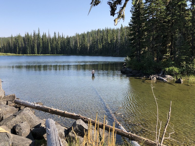
We found a place to hang out on the rocks of the peninsula and went for a swim, which felt great on this hot day:
The group was back at their site as we passed back through after swimming. They had a mean unfriendly dog who barked at us as we walked by.
On Saturday we set off to hike up Horse Mountain. We followed the user trail the rest of the way down the western shore of the lake, which involved crossing the lake’s outlet. We used this handy fallen tree:

The trail closely follows the southern shore for a short bit and we got this nice view:

After 0.3 miles on the user trail we reached the Park Trail. We were supposed to turn left here, but my too-hasty reading of the map meant that I had us turn right. So we merrily hiked 0.6 miles in the wrong direction on the Park Trail:

We realized our mistake just before we reached Mile Lake, so we decided to check it out since we were so close. The polarizer on my Nikon did weird things with this photo:
We retraced our steps back the way we came. We turned right on the Red Hill Trail then turned right onto the McBee Trail. We passed Herb Lake:
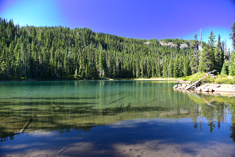
Platt Lake is very close by on the other side of the trail from Herb Lake, and quite pretty:

We took a break at Platt Lake then continued on:

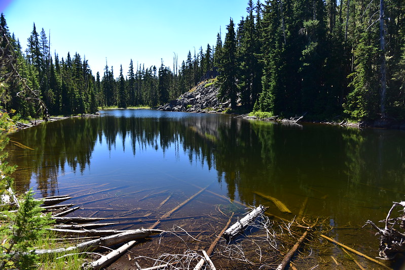
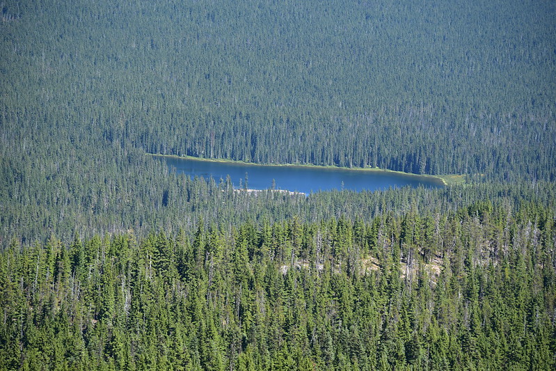
We stepped off the trail to take a look at East Fisher Lake:

And West Fisher Lake:

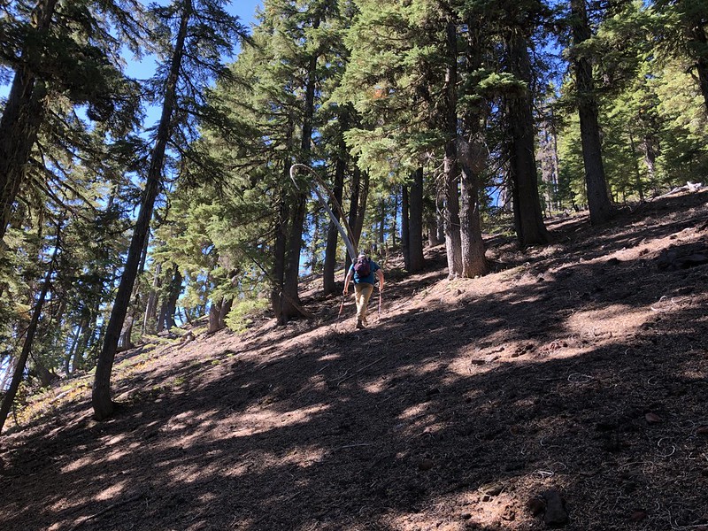
Then we began hunting for the old Horse Mountain Trail, now abandoned. I saw a spot that looked promising, but we continued on a little further and kept looking. We made it as far as the next trail junction without seeing an obvious path, and decided to just head cross-country. It was pretty easy going, fortunately, and we actually managed to stumble across the old abandoned trail tread, faint but visible after all these decades:


We followed that up and reached a ridge line, where the trail was more visible. We followed that:

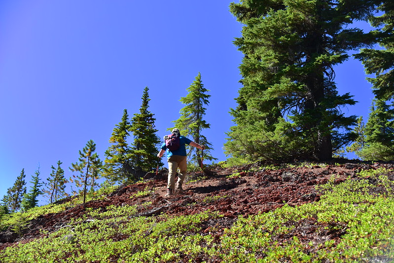
Until we reached this last steep push:

We made it! Oh, dang. Not quite. The actual summit is UP THERE:

It was incredibly hot and we were tired. While we were reasonably certain we could scramble up, we were not at all certain we could safely scramble back down, so we called it good here.
This is taken from the base of that scrambly cliff in the photo above, looking east. There’s a nice open area here with views to the north, east, and south, but not west:

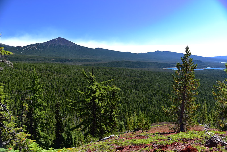
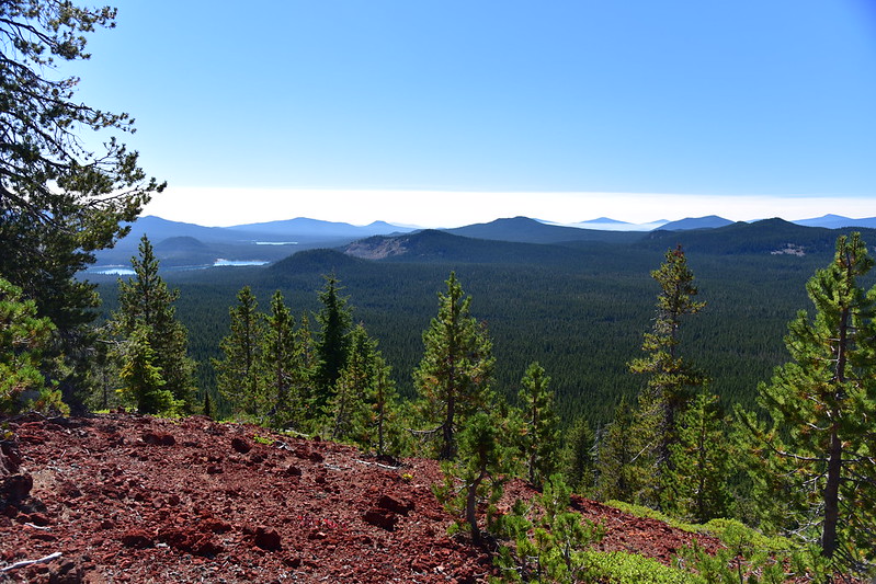
Although I was disappointed not to make it to the lookout site and USGS survey marker, at least we still got the views we came for. Looking north we could see Black Crater, Three Fingered Jack, Mt. Jefferson, Mt. Washington, The Husband, Middle Sister, South Sister, and Broken Top. That’s Horse Lake on the right:

A close-up of Black Crater, Three Fingered Jack, Mt. Jefferson, Mt. Washington, and The Husband. The smoke is from the Lionshead Fire:

Lower Horse Lake:

A closer look at The Husband and the Lionshead Fire behind it. We watched this plume get bigger during our time up there. We didn’t know it at the time, but two days later this fire would explode in size:


Middle and North Sister, and Broken Top. Behind Horse Lake is Red Hill, which we could climb the next day:
Mt. Bachelor is a ski area in the winter but right now it is totally devoid of snow:

The light was terrible to the south:
The 1963 Packsaddle Mountain USGS Quadrangle shows the Horse Mountain Trail going right up and over the summit. I’m guessing that the abandoned section coming up from the Park Trail could be found if one were to look:

There was once a lookout up here that was built in 1932 and removed in 1965. This photo was taken in 1946:

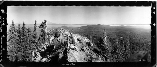
Panorama photos were taken in 1933. Southwest:

North:

Southeast:
After hanging out on Horse Mountain for awhile we headed back down. On the way back down we followed the tread pretty much the whole way, except for one spot where it got lost in blowdown and we had to detour around:


We ended up back on the McBee Trail at the exact spot that I thought had looked like old trail earlier but which we had passed up:

It was very hot so on the hike back we stopped at Platt Lake and went for a swim:

Doesn’t this look like a dog, swimming from left to right?
Cooled-off and refreshed we continued back to Horse Lake. We had seen only four people on the trail the whole day, and that had been early on. The McBee Trail doesn’t seem to get many travelers and in fact a few sections were brushy:

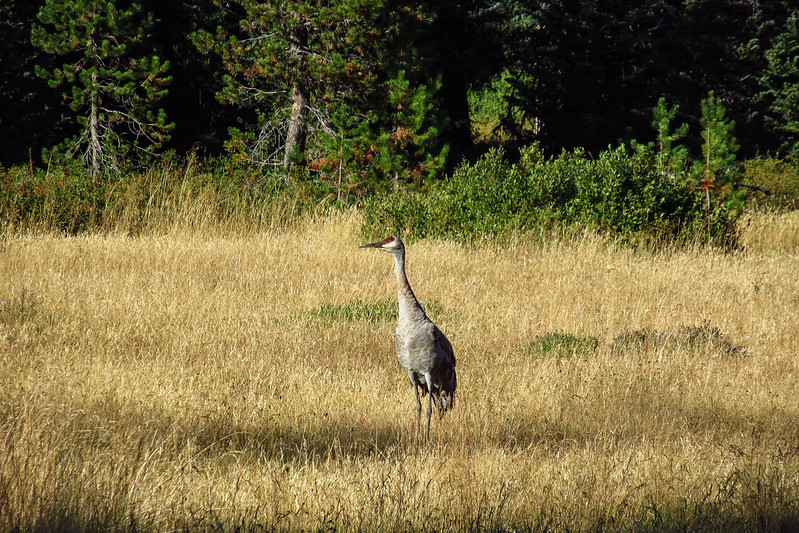
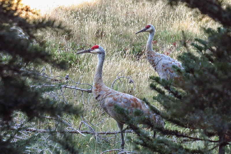
There’s a large meadow at the east end of Horse Lake and the Park Trail parallels it. I noticed movement in the meadow as we hiked past. Two sandhill cranes! Neato!

Back at camp we enjoyed our pilsners before making dinner and heading to bed.
On Sunday morning we went out towards the end of the peninsula at Horse Lake to see if we could spot Horse Mountain. Sure enough! That forested “bulge” you see is what we didn’t feel comfortable scrambling up and down:

Today we were headed north on the Red Hill Trail towards Sisters Mirror Lake to scramble up the trail’s namesake: Red Hill. As with all the other trails around here, we were totally in the trees the whole time, but the shade was most welcome in this hot weather:
We hiked the trail to the highest point we could, northeast of Red Hill, about 2.5 miles from the junction with the Horse Lake Trail. Then we left the trail and headed cross-country up Red Hill. It was steep going:

Last push to the top:
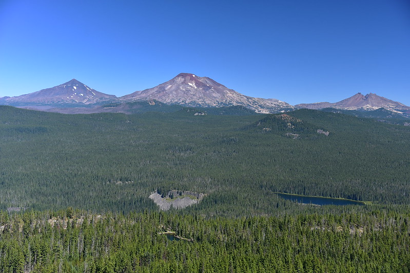
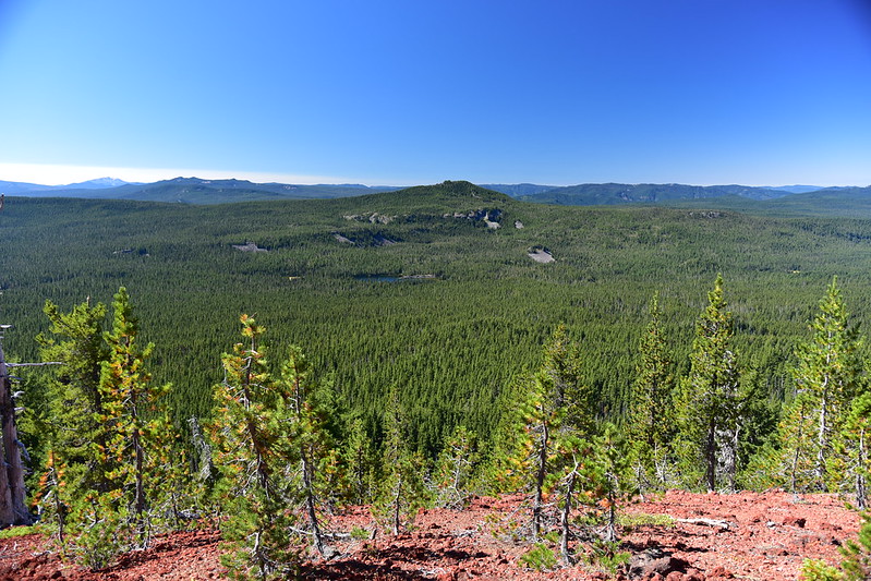
The views to the north were not as good as from Horse Mountain the day before due to some trees on the summit, but we could still see Middle Sister, South Sister, and Broken Top:


Mt. Bachelor and Elk Lake to the east:
Of course there was evidence of past visitors, a wind-break and a fire ring:

Looking southeast:
We had a nice clear view to the south. That’s Horse Mountain at center and Horse Lake:
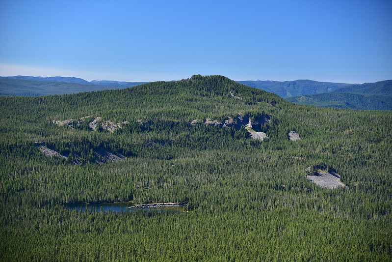
The long rocky peninsula of Horse Lake:

Panorama to the south:

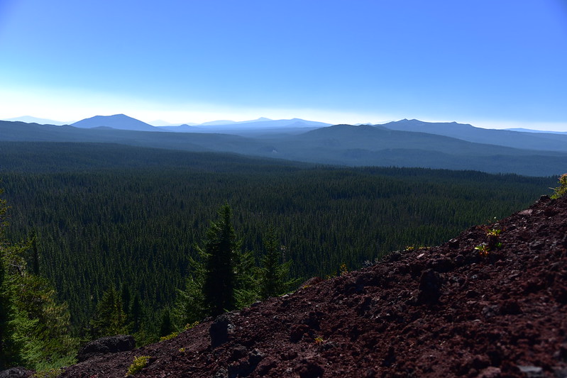
Our view to the west was somewhat ominous. We could see smoke drifting in from the north, presumably from the Lionshead Fire. More and more smoke drifted into view during our time up there:


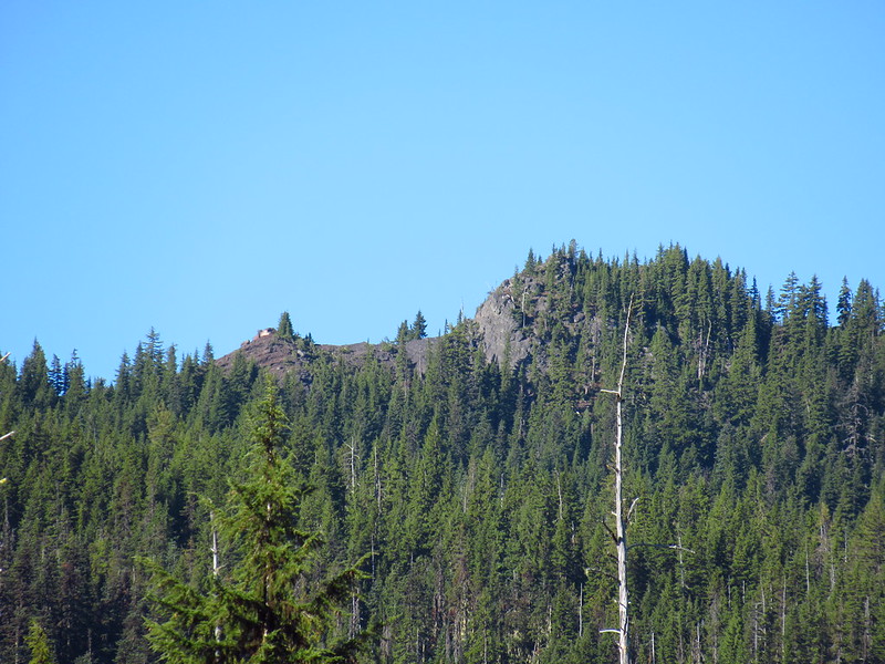
To the west we could see Olallie Mountain, whose fire lookout burned down sometime late last year (cause unknown):

We headed back down the hill, zigging and zagging our way through the trees and around blowdown, until we were back on the main trail.
When we crossed Horse Creek, shortly before arriving back at Horse Lake, we decided to filter water as we were both nearly out and we needed for some for cooking anyway:

There is a side trail here with a sign that says “user trail not maintained”. This used to lead to the Horse Lake Shelter, pictured here in 1969:

I followed the path to see if there was any evidence of the old shelter. But the area is just a mess of fallen trees:
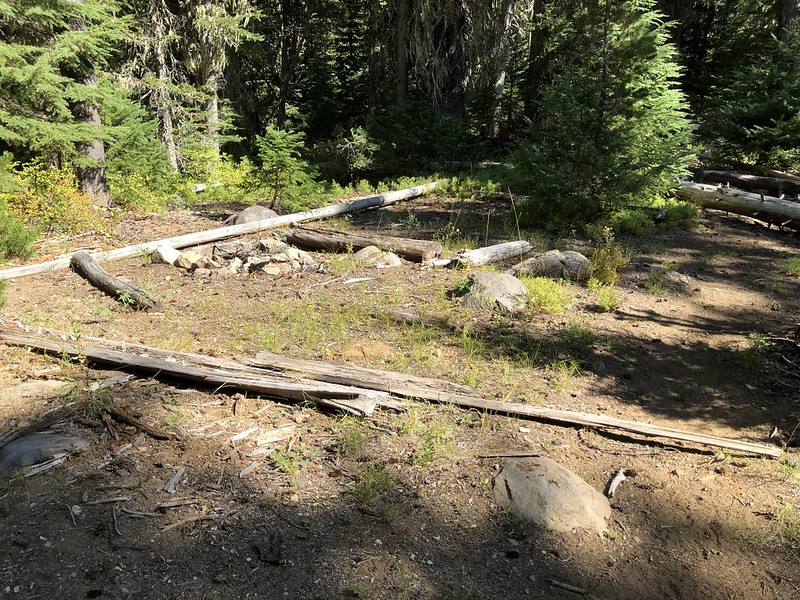

The shelter still appears on topo maps with a black square (but no label). There’s a larger black marker on the map close by and I didn’t realize until later that one was old Horse Lake Guard Station, which stood near here. According to this document, it was first built in 1909, then rebuilt in 1934. It was torn down in 1972 “at which time the Horse Lake Shelter (built in the mid-1930s) was also torn down.” Here is a photo of it from 1920:

On our way past the meadow we saw the cranes again:
We rested at our campsite for a bit, drank our last two beers, then went for a swim in this shady cove formed by the peninsula:
On Monday it was time to head out. We broke down camp and packed up. I was packed and ready at 9am so I sat and read my Kindle for an hour until Greg had finished packing at 10am. We hiked out a different way than we had hiked in, taking the Sunset Lake Trail. We stopped by the trail’s namesake when passed it:


After that we passed a pond on the right:

Then one on the left:

We crossed a large meadow before joining with the PCT:

Once again we were grateful for the shade on this hot hot day:
We saw more people on our hike out today than we had seen the entire rest of the weekend combined. On the home stretch we got a view of hazy Mt. Bachelor. The smoke was increasing:

We got back to the car at 12:30. As we drove to Bend the sky was getting smokier and smokier. We stopped at Cascade Lakes Brewing for a late lunch (made even later but their unusually slow service) and headed home via Highway 22. We had no idea conditions would be so bad on this route. The sky was red and orange and visibility was horrible. It was unreal:
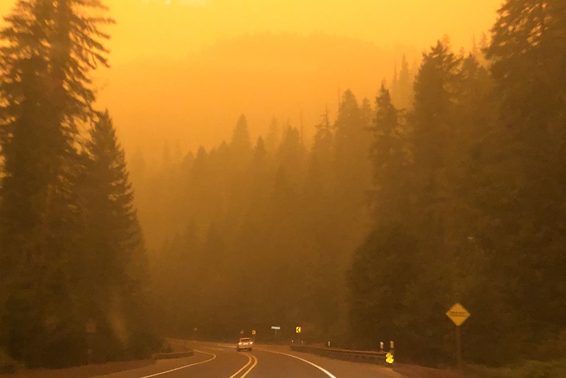

It stayed smoky for the whole drive back to Portland. That night an historic windstorm caused the the Lionshead Fire and Beachie Creek Fires to increase in size and join together. Winds also toppled power lines, starting more fires. Towns along Highway 22 that we had driven past just a few hours before were in the path of the fires and many homes and businesses burned. Down in southern Oregon the towns of Talent and Phoenix were burned. The northwest was smothered in horrific smoke for many days. It was an abrupt and horrible way to end the summer.
I’m grateful we got to have a peaceful and uncrowded weekend in the wilderness before all that happened. We had one more backpacking trip planned the following weekend that obviously we had to cancel. But we had a good run, with this trip being our sixth backpacking weekend in a row, a first for me.
Gaia stats: 27.2 miles, 3,200′ elevation gain


