Saturday, August 1 – Sunday, August 2, 2020
Greg wanted to go to crowded Paradise Park this weekend and I did not, so I headed to the Mt. Adams Wilderness for a solo one-nighter, doing a loop past Riley Camp and Horseshoe Meadow (hike description).
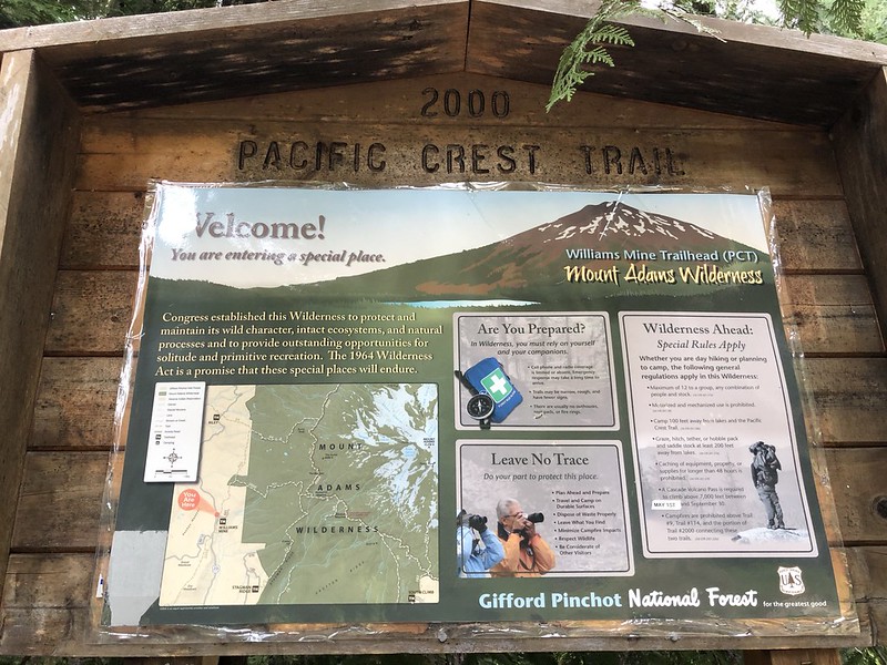
After a two-hour drive from Portland I parked at the Williams Mine Trailhead where there were only six other cars at 8:20am. I filled out my permit and started up the trail:
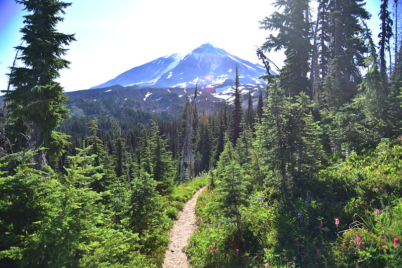
This hike starts out on the PCT:

I reached the wilderness boundary:

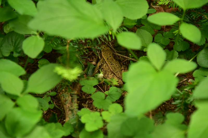
After 1.6 miles I reached the junction with the Riley South Trail and turned left onto that. I saw this Cascades Frog:

And later saw another one!
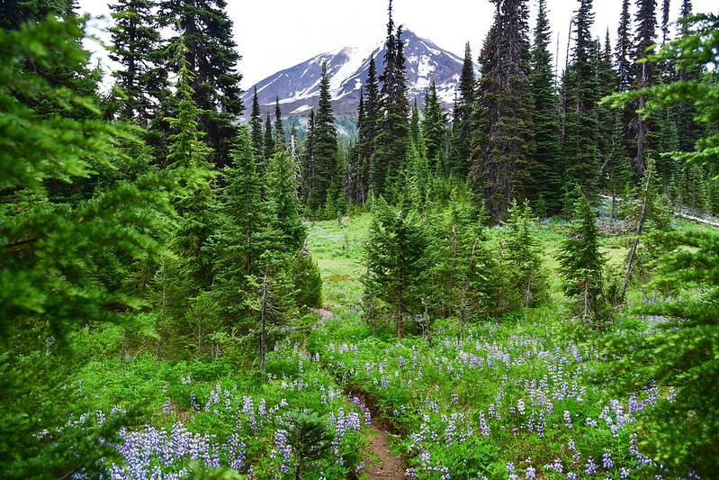
I started seeing some lupine. I didn’t know it yet, but this was just a precursor of much more to come:

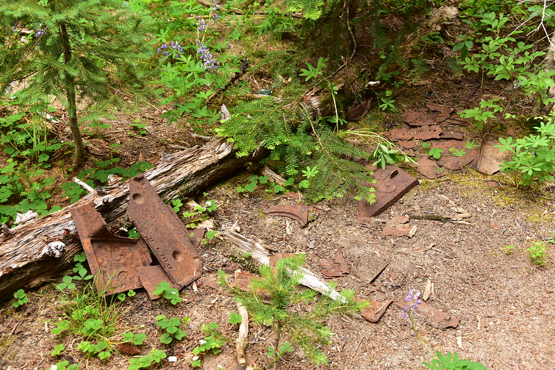
3.5 miles from the trailhead I reached the Riley Camp Trail and turned left. Soon I passed the site of Sled Camp where there is an old outhouse that somehow hasn’t fallen down yet:


There are remains of an old stove here too:
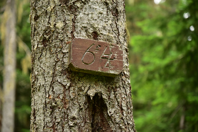
There’s an old trail number sign along the trail there:
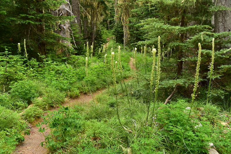
I continued up the trail, passing some beargrass that probably looked nice several weeks ago:
This trail crosses over several sections of the abandoned Sled Camp Trail, which I think was the precursor to the Riley Camp Trail:

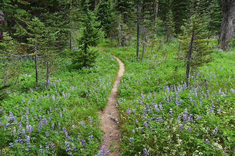
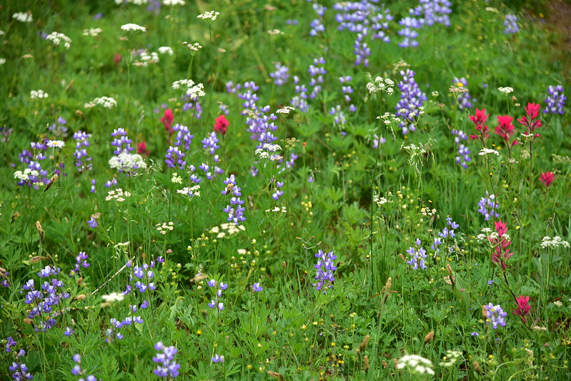
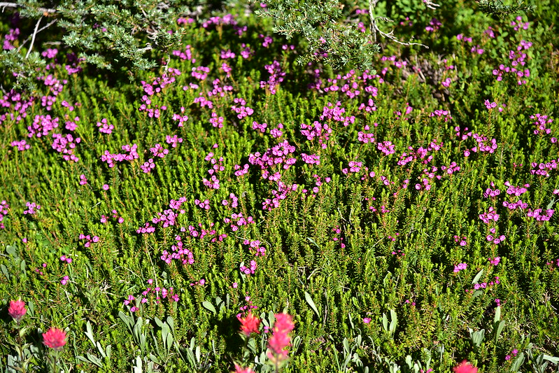
I started seeing more lupine:

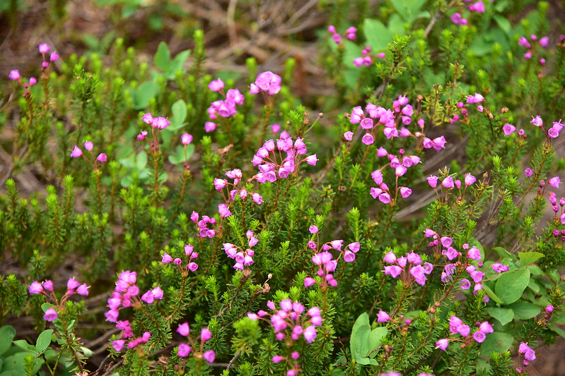
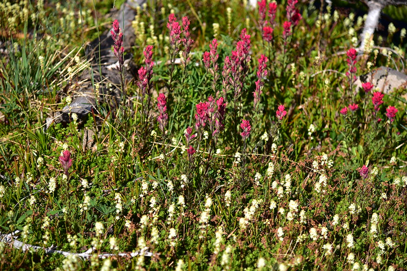
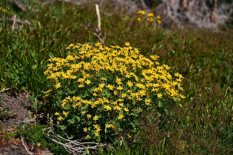
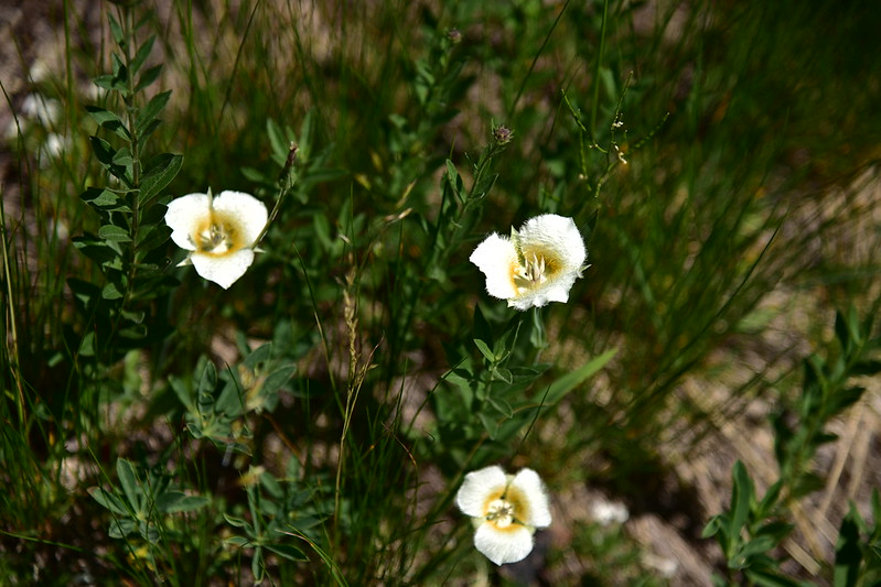
And other wildflowers:

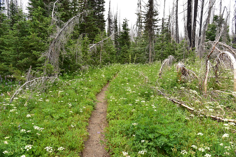
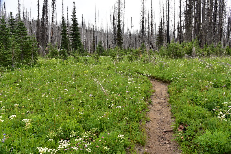
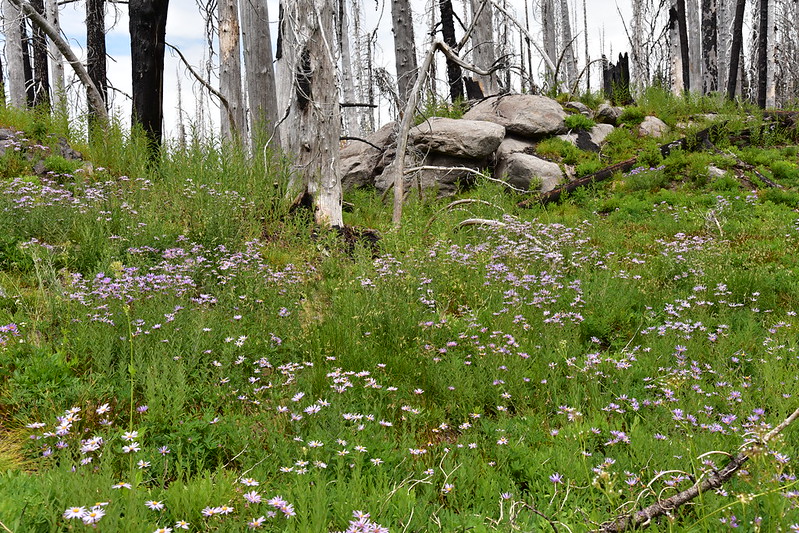
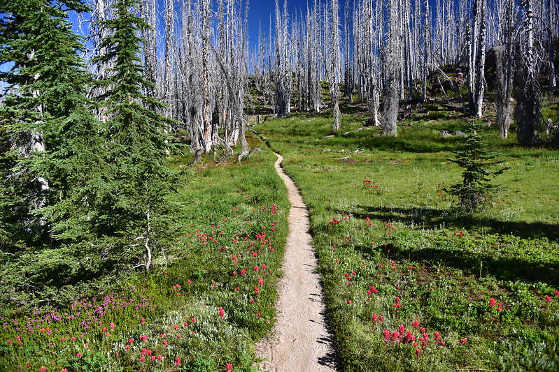
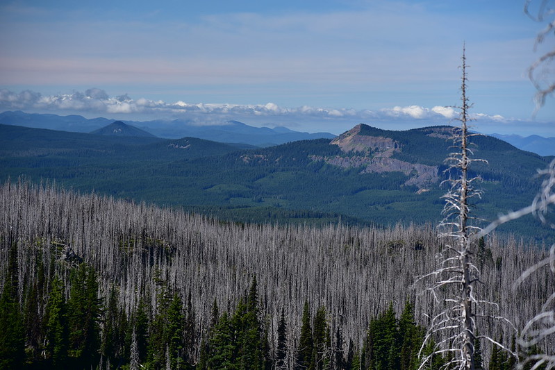
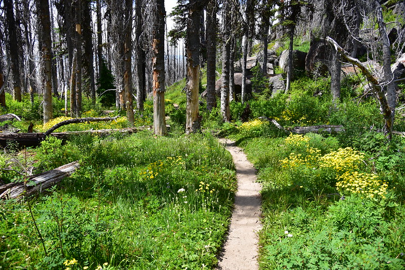
At five miles and 5,100′ I entered the burn zone from a 2015 fire and then the 2012 Cascade Creek Fire:
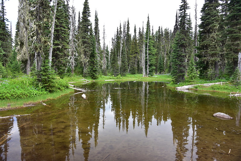
Tarn:

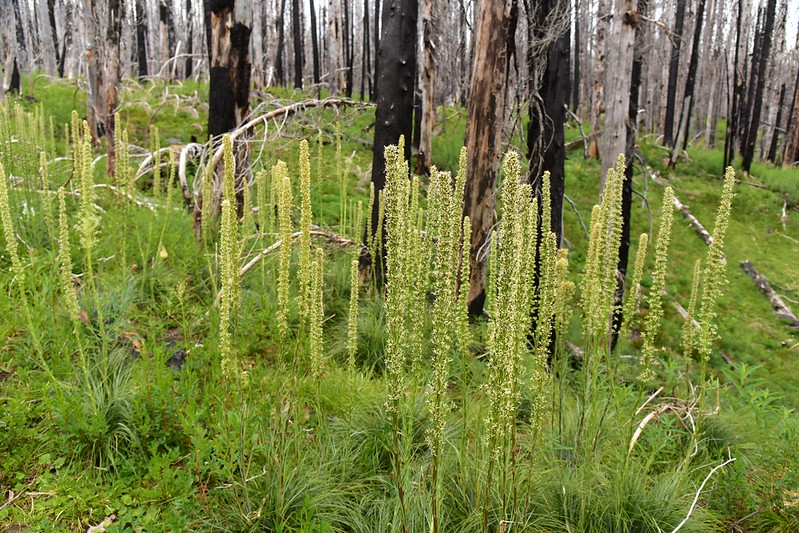
Looks like it was a good beargrass year, but it was all done blooming:
The mosquitoes were particularly bad in this section:
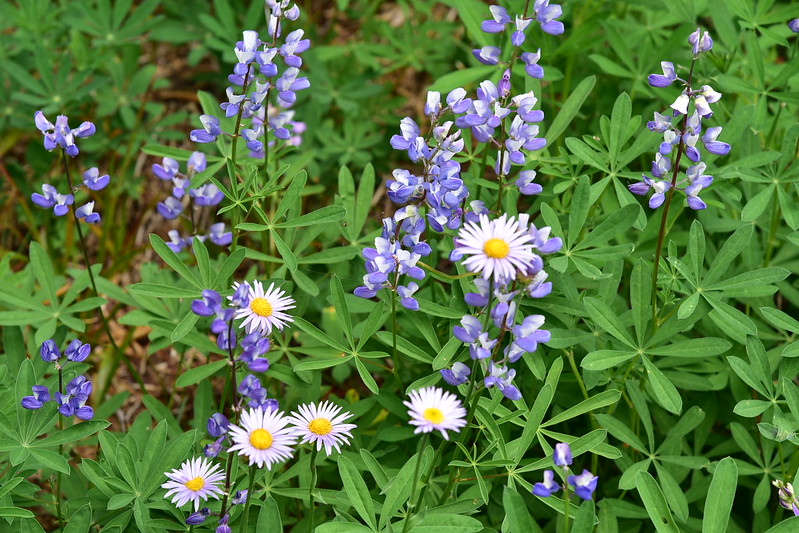
But I still couldn’t help stopping to photograph wildflowers:

Fortunately the burn area was only about three quarters of a mile then I was back in the forest:
Another tarn:
Still more lupine:

At 6.8 miles I reached Riley Meadow:

This was my first backpacking trek of the summer and my feet were hurting, so I stopped for a break at Riley Creek:
I took a look at Riley Camp. I didn’t see any campsites in the trees, so I think the only place to pitch your tent would be right here on the meadow:

After my break I continued on:
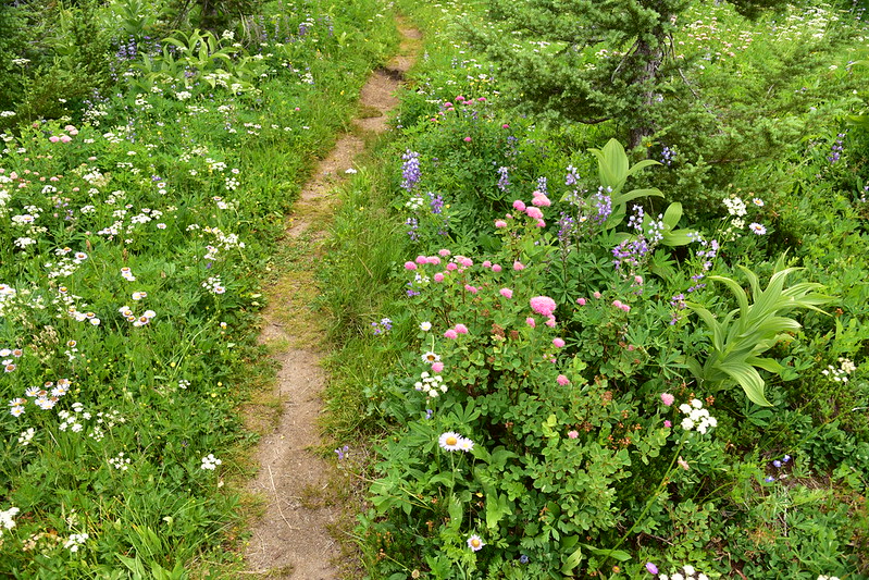
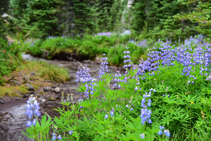
The wildflowers just kept getting better and better:

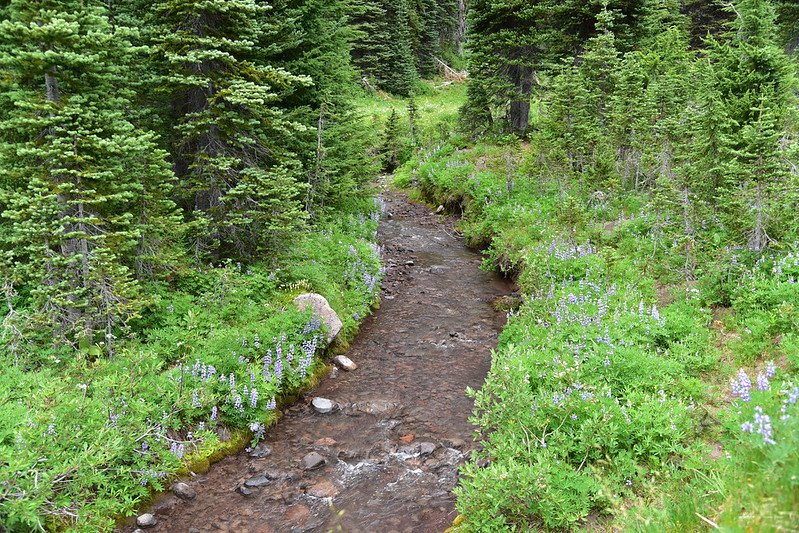
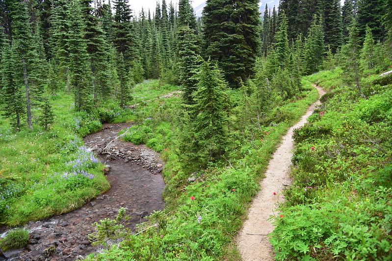
At 7.4 miles I reached the PCT again and turned right. The trail crossed Riley Creek shortly thereafter:
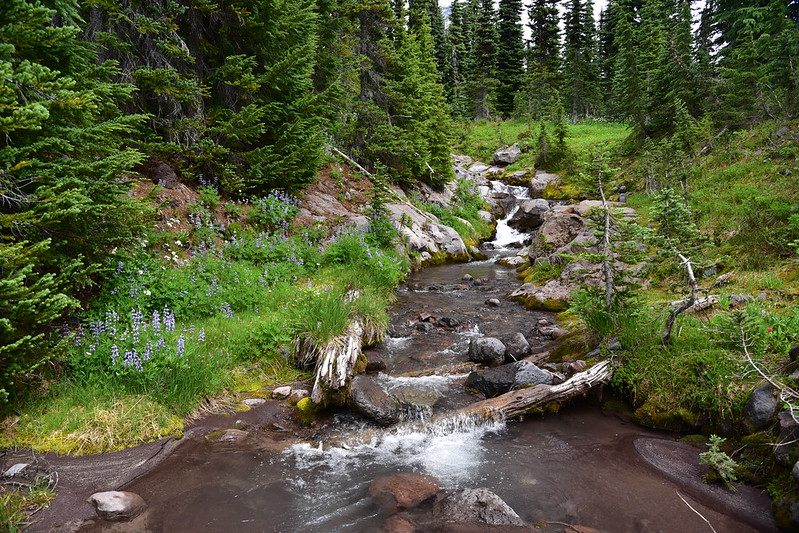
I made camp near the creek. I had only gone 7.6 miles today, but this was a water source outside the burn area and there wouldn’t be another spot like this for awhile. Since it was early afternoon I decided to continue a little further down the PCT to check out Sheep Lake. More wildflowers:
A good a good view of Mt. Rainier from the trail:

Sheep Lake was just like all the other little ponds and tarns I had passed today, so why this one got a name is beyond me:


I returned to my campsite and spent the afternoon hanging out by the creek with my Kindle:

The clouds that had blanketed the area ll day finally started breaking up:

And soon I had blue skies:


A couple times in the late afternoon and early evening I could hear rockslides up on the mountain. Although I couldn’t see the falling rock, I could see the plume of dust it sent up:

Time for dinner!

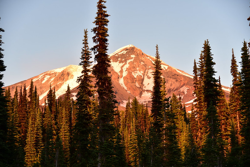
There was nice alpenglow on the mountain that evening:
Lest you think the mosquitoes were gone, let me correct you. There was still no breeze and the bugs were still very much around. I had to wear bug spray, long sleeves, and my headnet during the afternoon, and after dinner I finally gave up and retreated into my tent to get away from them.
I slept well and the next morning was beautiful. Today there was more of a breeze which meant far fewer bugs. I ate breakfast, packed up, and hit the trail:
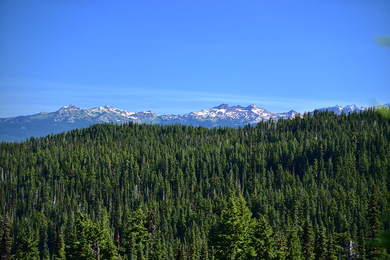
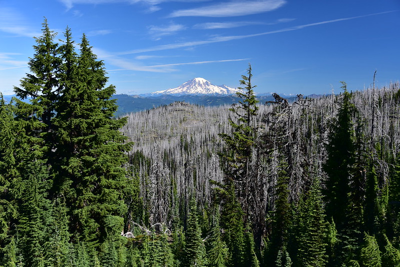
I got a nice view of Mt. Rainier and the Goat Rocks from the trail:


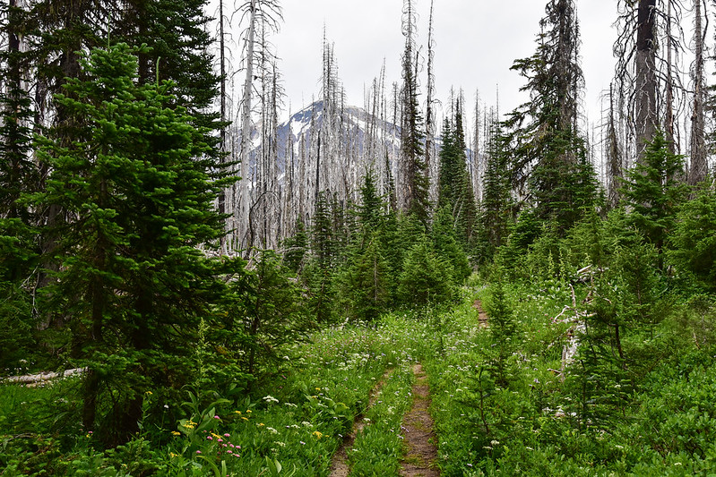
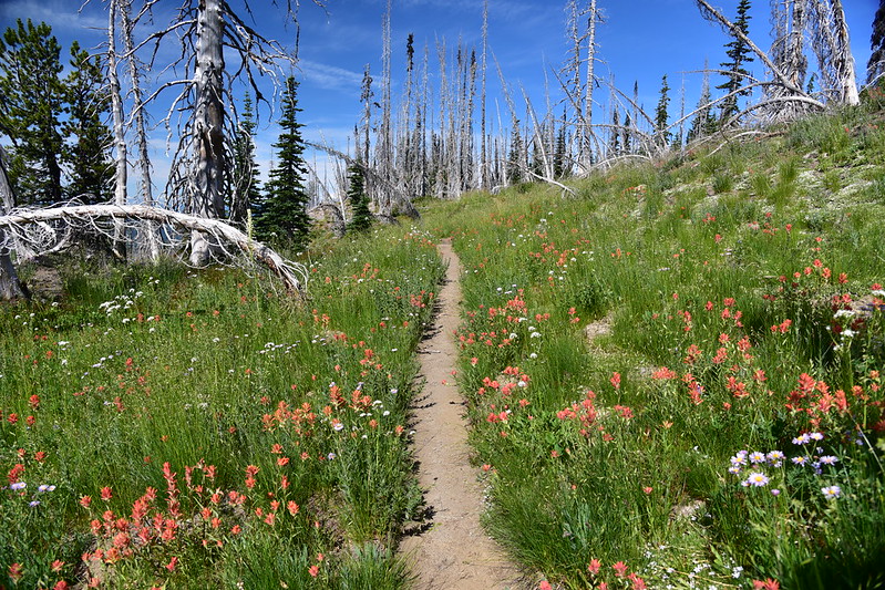
I entered the burn area again:


The wildflowers just kept going:
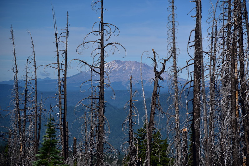
The views were pretty dang great too. Here is Mt. St. Helens:


Mt. Rainier:


The peaks of the Dark Divide (flat-topped McCoy Peak on the left and pointy Sunrise Peak on the right:

Lemei Rock poking up at center:
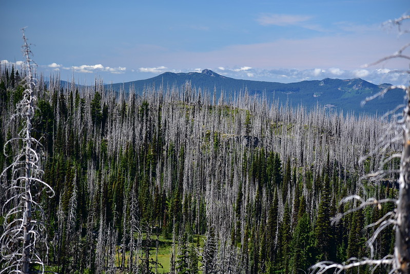
Steamboat Mountain on the right:
More flowers:


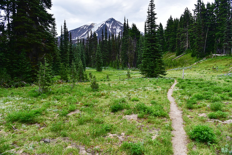
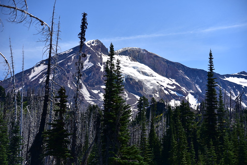
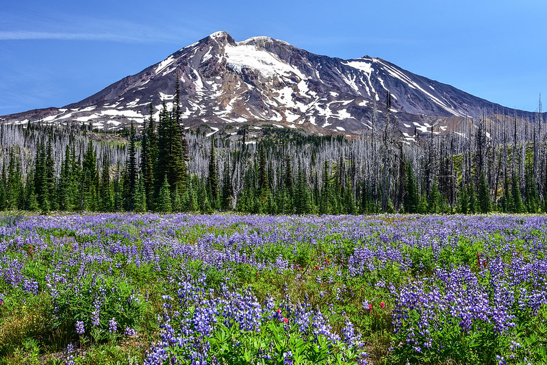
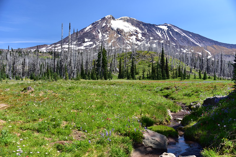
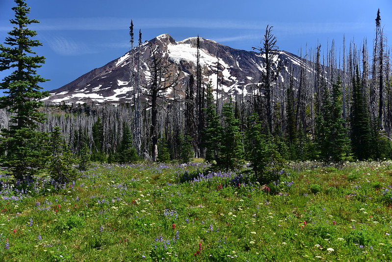
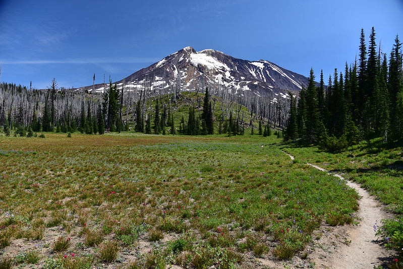
The terrain was such that I didn’t actually see that much of Mt. Adams, but I did get occasional views of it, especially as I got closer to Horseshoe Meadow:

Clouds coming in around Mt. St. Helens:

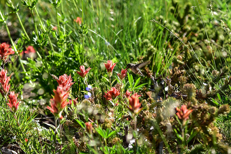
At one point I heard the unmistakable sound of a hummingbird. It was bouncing from one paintbrush flower to another and I actually managed to get a photo of it:
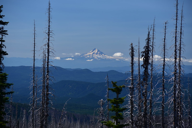
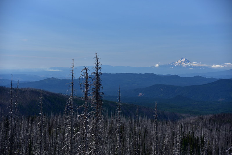
Mt. Hood:
A new wildfire had started near Hood River and I could see smoke from it (on the left below):
Sleeping Beauty on the left in the foreground and Lemei Rock on the right in the background:

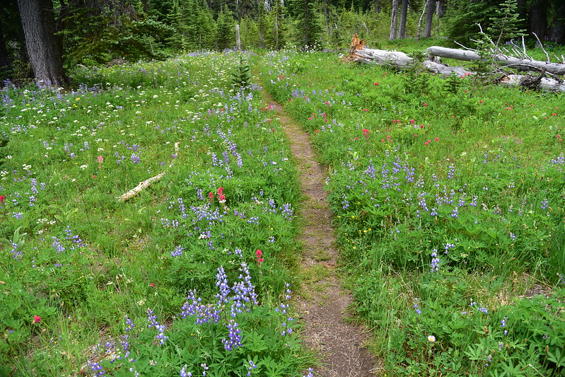
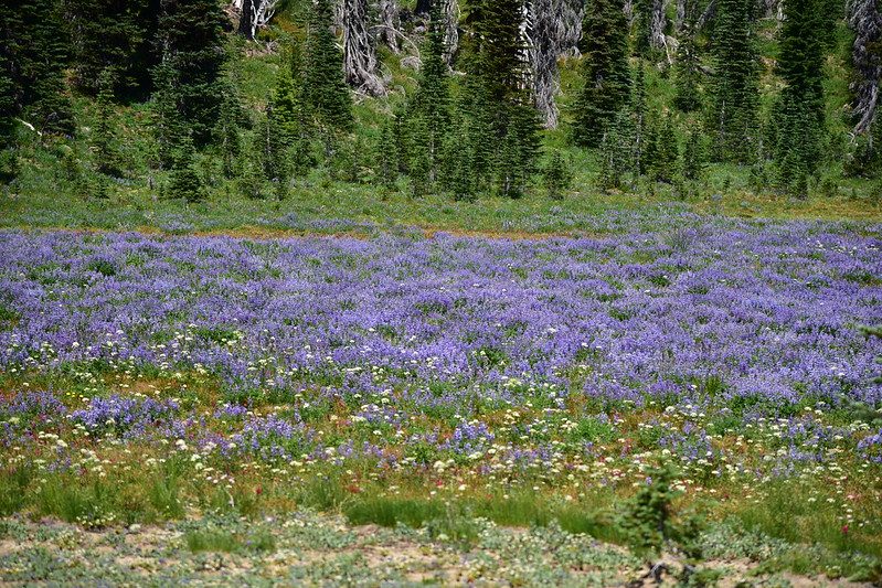
About 3.5 miles from Riley Creek I reached Horseshoe Meadow. This first part was just FULL of lupine, which was crazy cool:
There’s a little creek that flows through one part of Horseshoe Meadow but it was almost dry. I poked around here for a little bit enjoying this nice place and the greatly diminished mosquitoes thanks to the breeze:
The Round-the-Mountain Trail #9 continues southeast from here. I continued down the PCT which headed west:

I passed the junction with the Stagman Ridge Trail after half a mile and kept going. The burn area seemed to go on for a really long time. I left the flower zone and trudged on through the burn. Finally, 3.7 miles from the trail junction at Horseshoe Meadow, I re-entered the shady forest for the last 2.2 miles back to the trailhead. I reached my car at 3pm.
This was a great loop hike! The mileage was a little lopsided, with 7.6 miles on Saturday, and 10.2 on Saturday, which made for a long footsore day. But the wildflowers were profuse and beautiful, and the views were pretty great too. Too bad so much of this area has burned, but that is the reality in our wilderness areas here.
Gaia stats: 17.8 miles, 2,500′ elevation gain


