Saturday, September 9, 2023
Today we headed up to Lamberson Butte on the east side of Mt. Hood.
We started at the Elk Meadows Trailhead. We crossed Newton Creek, which does not have a bridge, but we found a handy log:

We switchbacked up the hill and reached the junction with the Gnarl Ridge Trail and turned left:

This stretch hasn’t seen maintenance this year and we encountered some downed trees:


Then we left the blowdown behind and hopped onto the Timberline Trail going counterclockwise:


We passed the site of the old Gnarl Ridge Shelter, now just a ruin:


Here is how the shelter looked way back when:

Continuing on:

We reached the spot on the northwest side of Lamberson Butte where a user trail heads up to the summit and started following it:

We found a spot to hang out and have our fancy picnic lunch:


Pretty good view up here:


Mt. Adams to the north:

Burn scar to the north, from the 2008 Gnarl Ridge Fire:

Mt. Jefferson to the south (bad light with the sun so low in the sky this time of year):

Looking down on Newton Creek far below:


I decided to explore further along the ridgeline of the butte:


I came across the seismic monitoring equipment that is up here:


Beyond that it gets pretty brushy so I turned around:

Can’t get enough of this view:

Distant Greg back at our break spot:

Much closer!

Heading back down:

Descending the Timberline Trail towards the upper Newton Creek crossing:

Approaching Newton Creek:
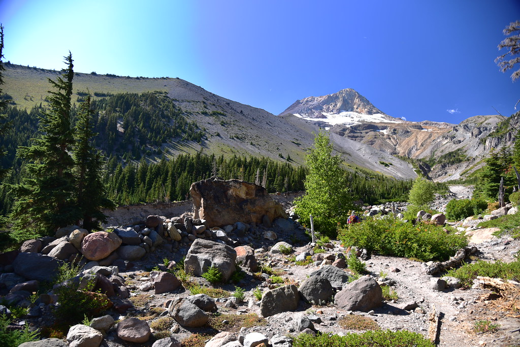


Assessing our options:


There were no logs to aid our crossing here like there had been earlier downstream. It was also now afternoon and the water flow was higher. There was no way to rock hop so we had to wade. The slippery rocks and swift current made doing this in bare feet too difficult, so we wore our boots in the water (should have brought Crocs):

Looking up at Lamberson Butte from the far side of the river:

With our wet boots we squelched our way uphill out of the river canyon:

We hopped off the Timberline Trail and onto the Newton Creek Trail:

All downhill now:

Newton Creek below:


The creek is eroding the trail here:

Long day, but good hike!
Gaia stats: 10.3 miles, 2,320′ elevation gain
