Friday, July 5
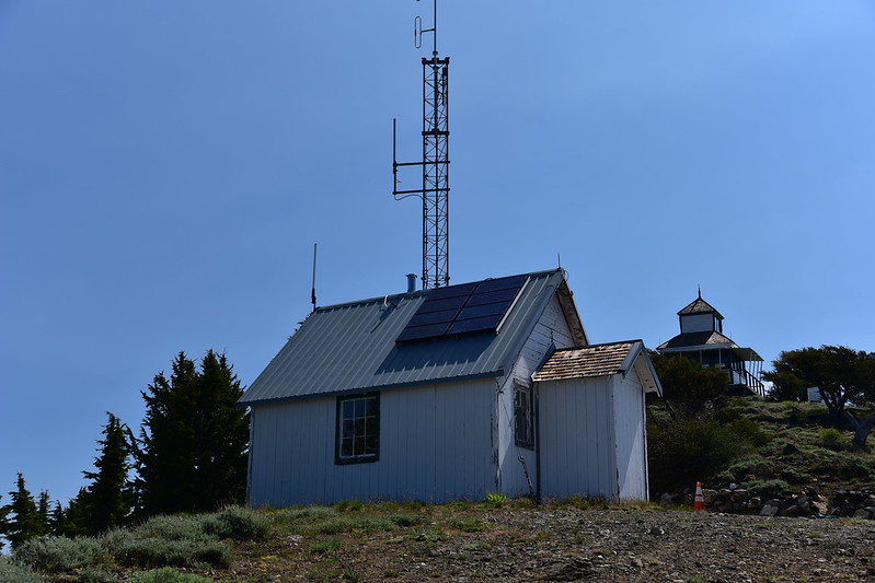
We stayed at the Squaw Peak Lookout in the Siskiyous over the holiday weekend (read more about that here). After hiking in the vicinity of Big Red Mountain the day before, we had planned to do a hike closer to the lookout today, then head back over to the Siskiyou Crest area again on Saturday. But Greg discovered that he left his trekking poles at the trailhead yesterday, so we moved our Saturday plans to today so we could go look for them. Fortunately they were right where he left them at Wrangle Gap so after picking them up we headed to 7,417′ Dutchman Peak (often mistakenly referred to as Dutchman’s Peak).
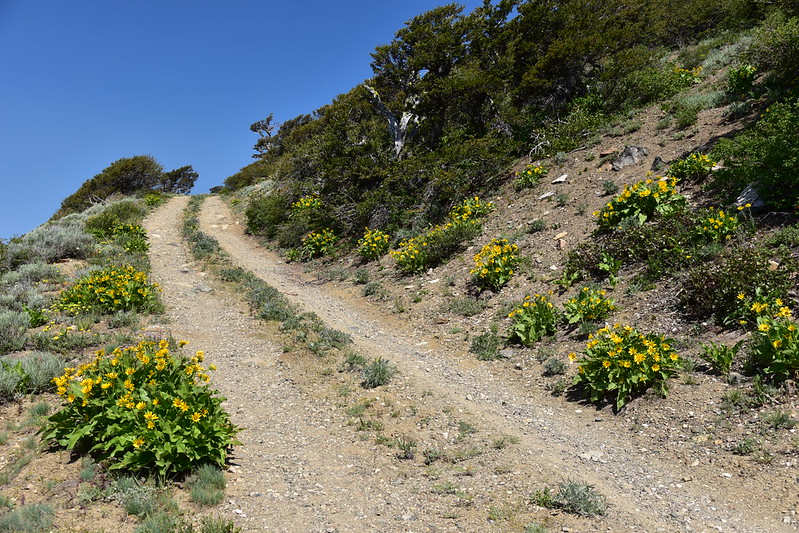
We were able to drive up Road 800 for 0.8 mile, then we parked at the gate to walk the final half mile to the top:
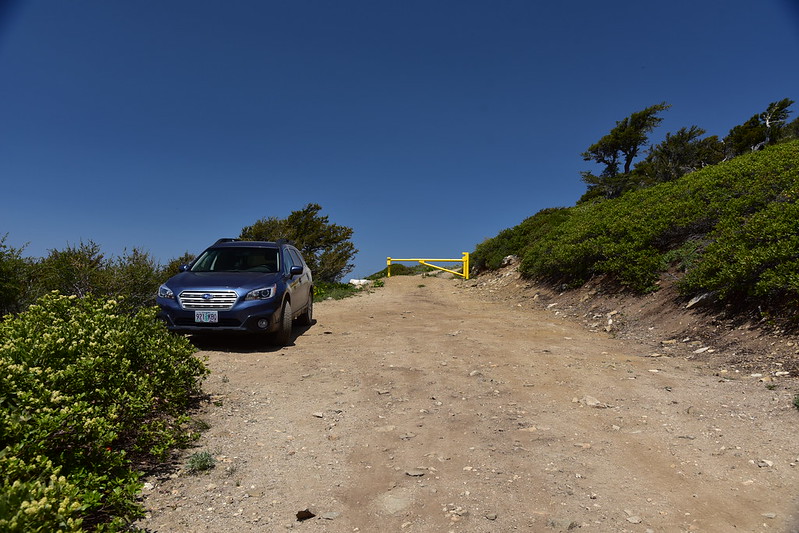

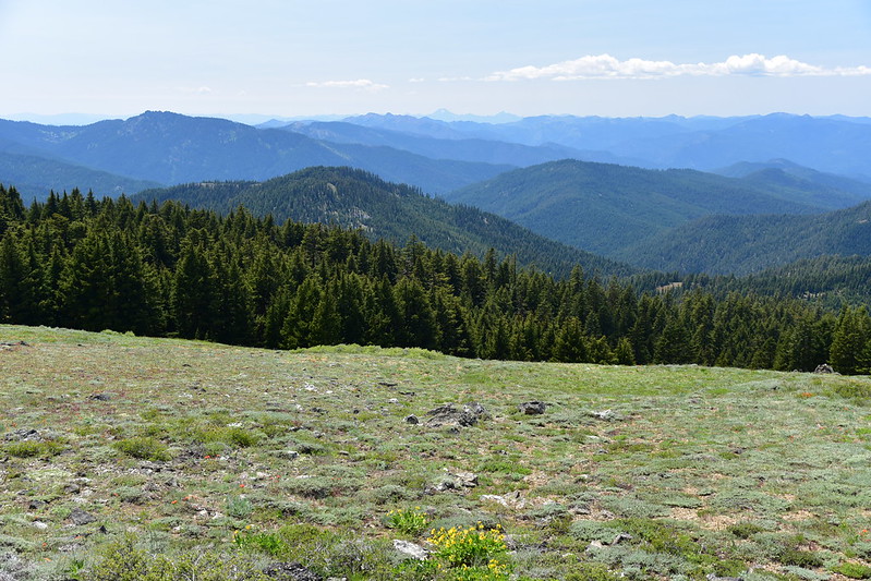
Normally it’s not ideal to have to road walk to a lookout, something we have done plenty of. It’s nice when you can drive all the way to the top. But in this case it was fine because it was a very pretty road walk. It was totally open and the views were great:

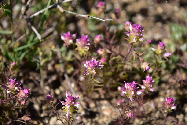
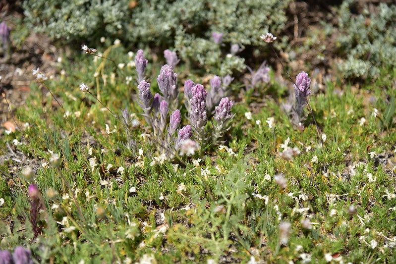
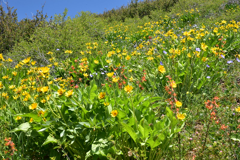
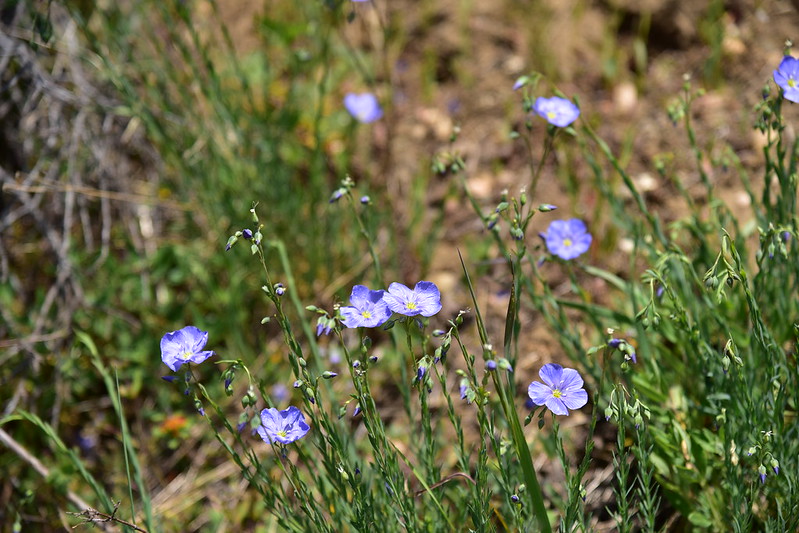
And there were lots of wildflowers:


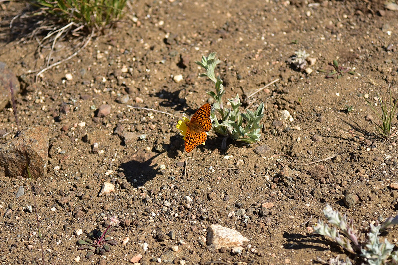
Plenty of pollinators around too:
There was a bit of snow on the north side:
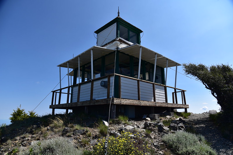
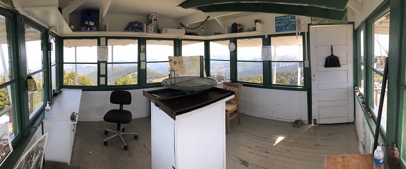
The lookout is still used in emergencies, but it was unstaffed during out visit and surprisingly was unlocked!


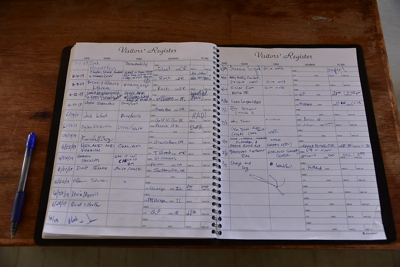
There is even a visitor’s log:
The views from the top were great. Looking west:
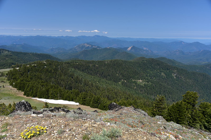

The peak right in the center with the bald south face is Squaw Peak (Baldy Peak is at far right):

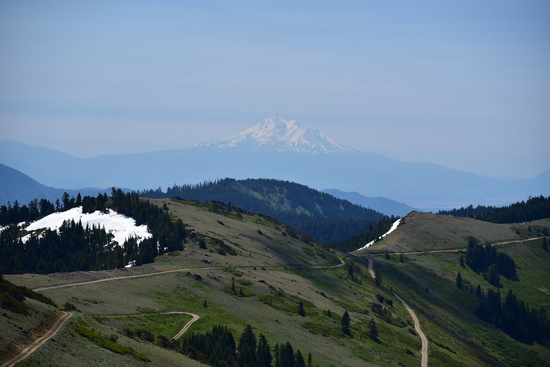
Mt. Shasta to the south. Not as clear today as yesterday!
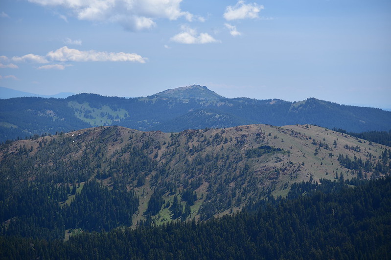
View of Mt. Ashland to the northeast:
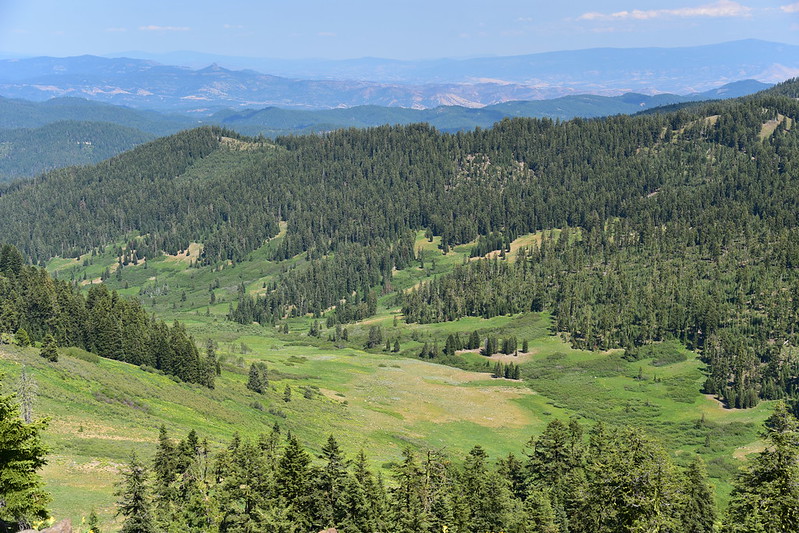
Looking southwest, with Observation Peak on the left:
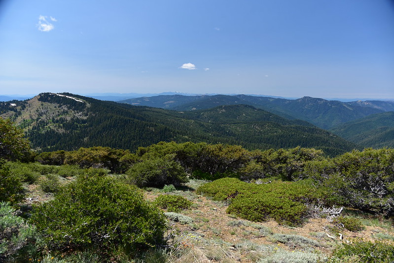
Silver Fork Basin with Observation Peak on the right:
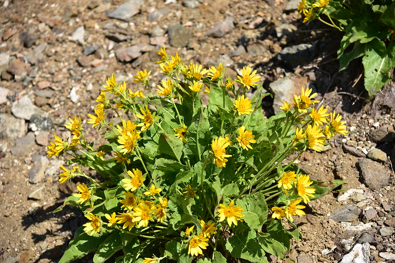
We short-cutted back to Road 20 via Road 805, where we encountered even more flowers:
The car sure is getting dusty!

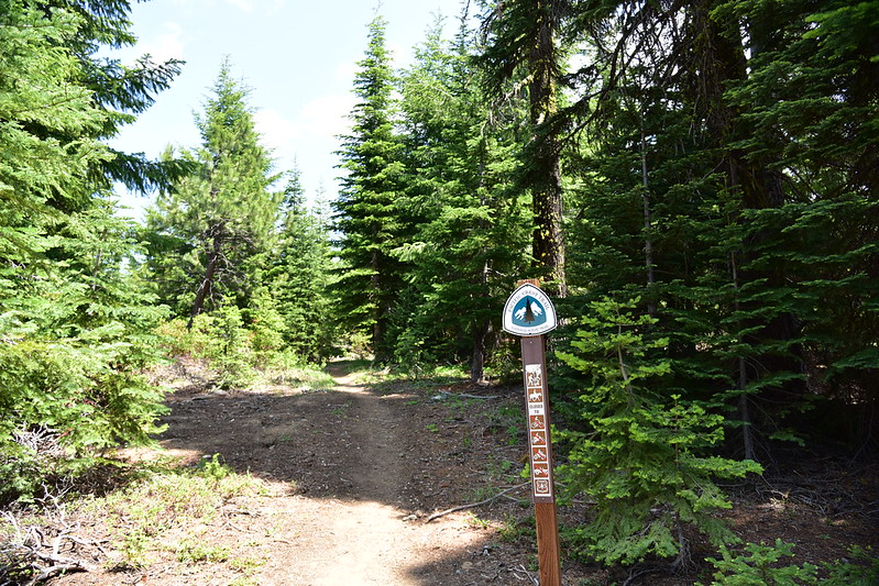
Next up was a hike up to Observation Peak via the PCT. According to Luke Ruediger in The Siskiyou Crest, “Observation Peak represents a hot spot for botanical diversity, harboring many rare plant species on its varied bedrock and soil types.” Sounds like our type of place!
We could have started this hike at Jackson Gap, but we opted for a slightly longer route. We drove back down Road 20 to Silver Fork Gap where we picked up Road 2025 and drove four miles south to a spot where the PCT crosses the road, and started hiking north:

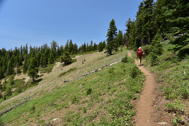

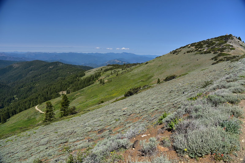
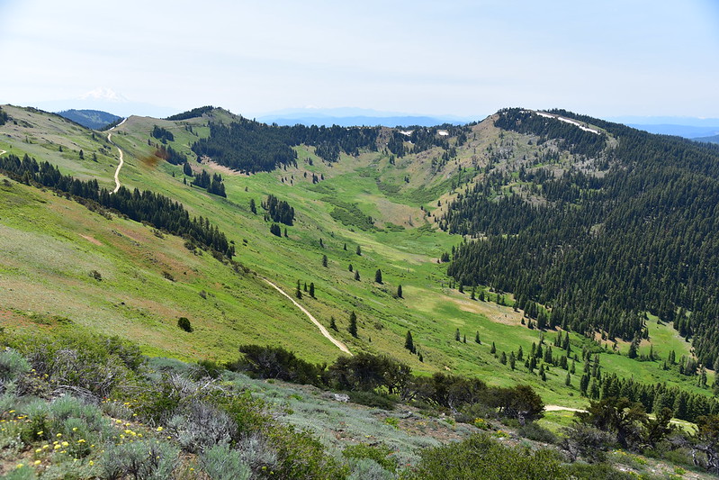
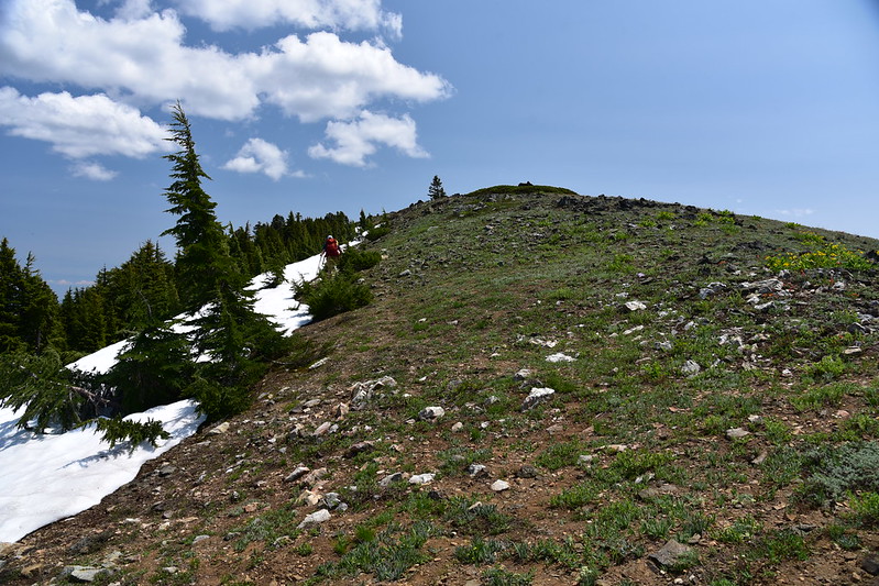
We reached the grassy lower slopes of Observation Peak:

Then got off the trail and headed cross country to the summit:

Looking back along our route, with Dutchman Peak right of center:

View of Dutchman peak and the terraced slopes of Silver Creek Basin. This entire area was once so thick with livestock that “fire lookouts in the area were trained to differentiate between the smoke of fires and the massive dust storms created by overgrazing on the Siskiyou Crest” (according to Luke Ruediger in The Siskiyou Crest). The terracing on the slopes here was done in the late 1950s to slow the erosion caused by that livestock grazing.:


This is the 7,340′ summit:
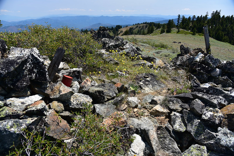
That red can contained the summit register, but the logbook was soaking wet and moldy:

I’ve never seen a survey disc like this one before:

There was a normal-looking survey disc as well:

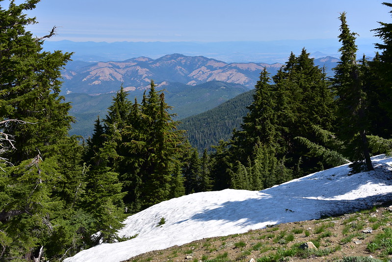
The views were pretty expansive. Looking southwest:
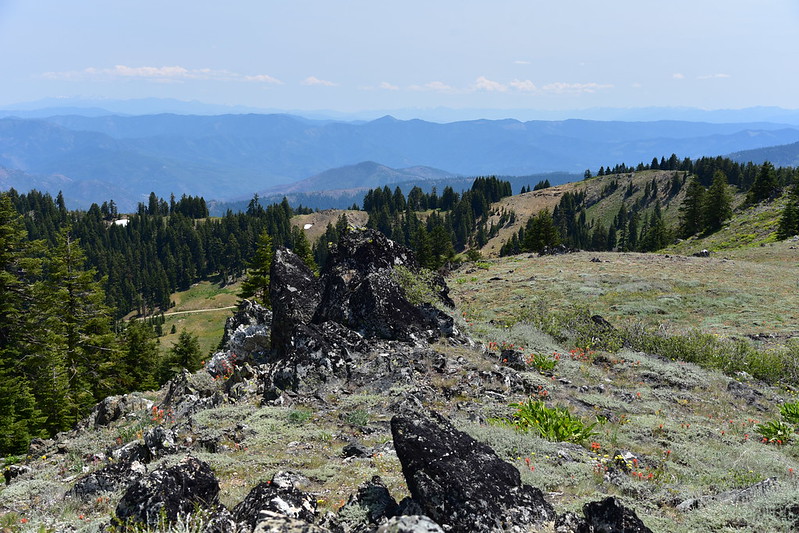
Looking west:
Looking north, with Mt. Ashland on the right:

Looking southeast to Mt. Shasta:

Panorama from NE to SE, with Cow Creek Glade directly below:

A better look at Cow Creek Glade:
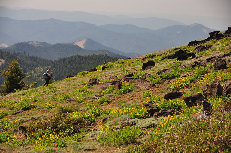
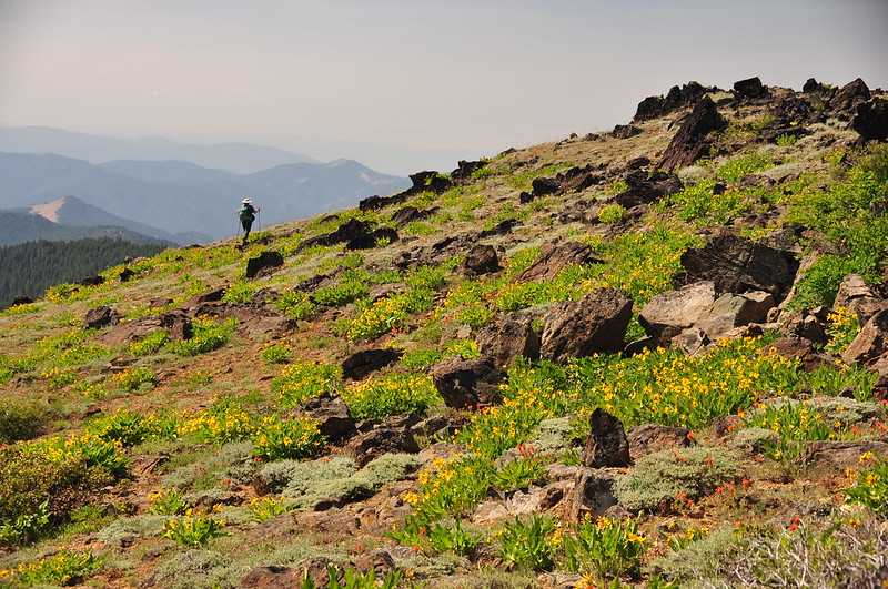
This spot is not remote, by any means. We could see Road 20 to the north, and Road 40S01 was just 400 feet down the steep east-facing slope from where we sat. But we only saw three or four cars the whole time, and the only other hiker up there left soon after we arrived. After enjoying the beautiful and peaceful setting we turned and headed back. Greg took these shots of me on the way down:
Hiking the trail back to the car we met a backpacker who was on her first day of an Oregon PCT thru-hike, with her husband joining her for the first segment. She was VERY excited, and her enthusiasm for the trek ahead was endearing.
Total mileage for the hike was 5.3 miles, 1,100′ elevation gain.


