Friday, July 1, 2022
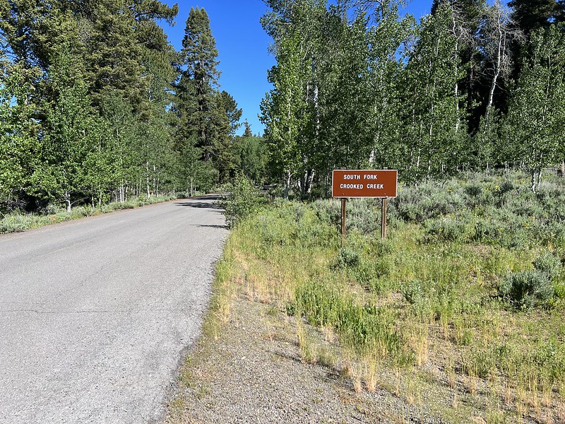
While staying at the nearby Drake Peak Lookout we did a few hikes. First up we drove to the South Fork Crooked Creek Trailhead and hiked north on the Fremont National Recreation Trail.
The parking area is quite large. I find it hard to believe that it ever fills up:

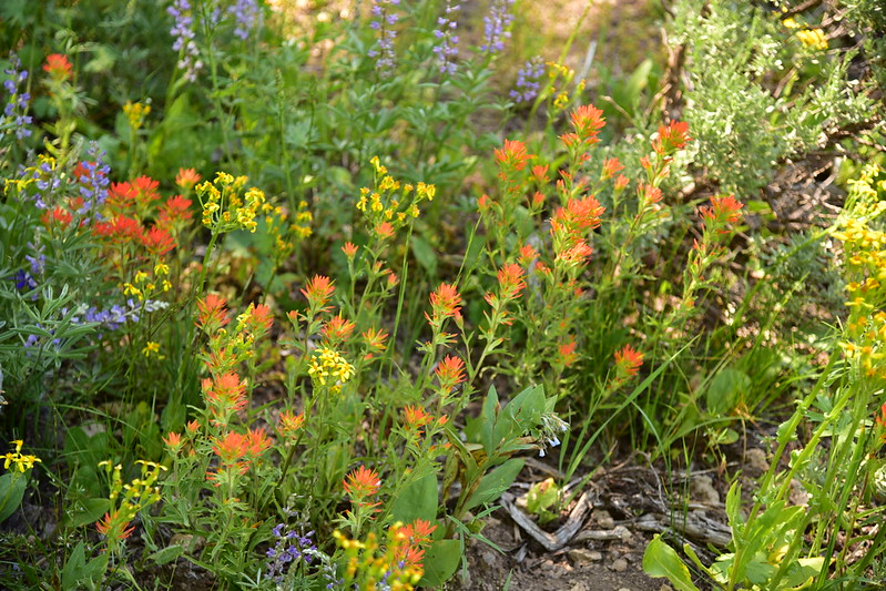
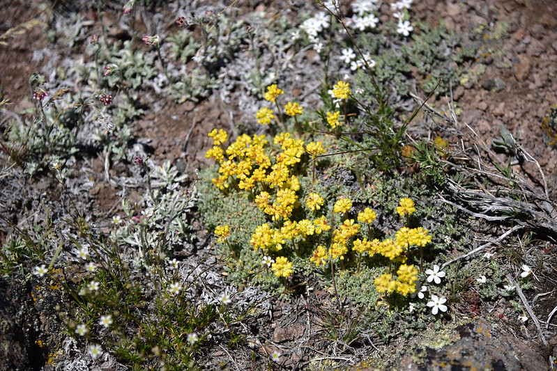
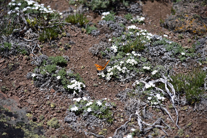
We saw a nice variety of wildflowers at the trailhead:
And lots of aspens:

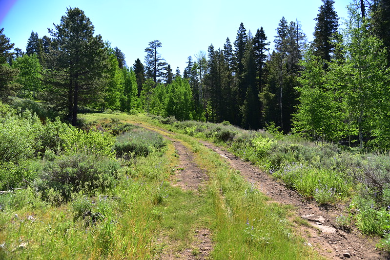
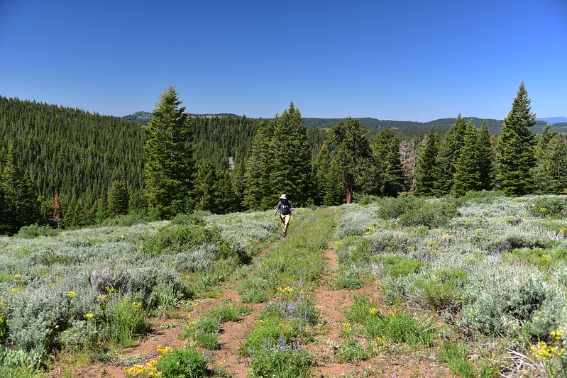
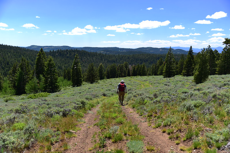
We set off up the trail, which is an old dirt road:


This was the last trail marker we saw, pointing up the old road we were following:


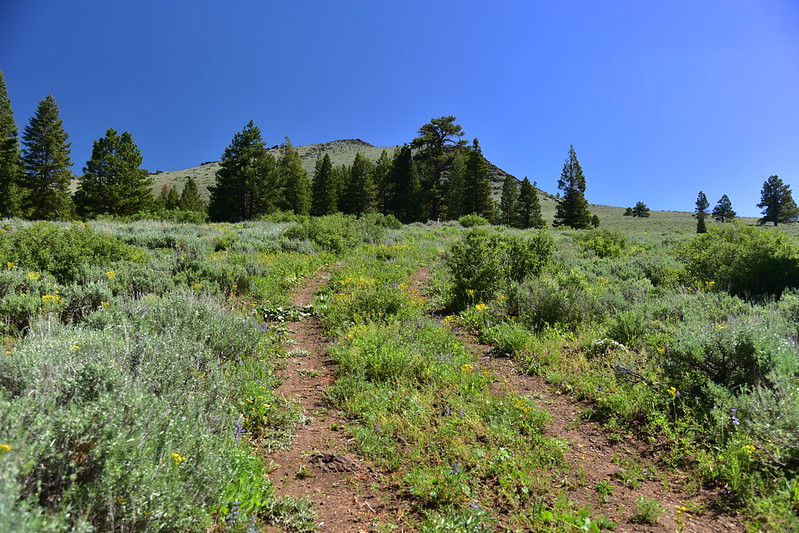
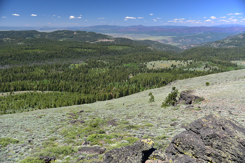
We emerged from the trees into open sagebrush country:

Right about here is where the old road ended:

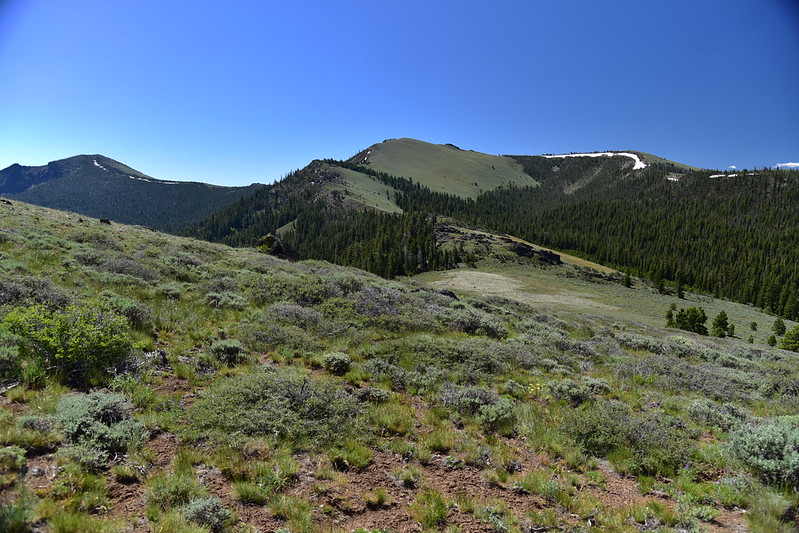
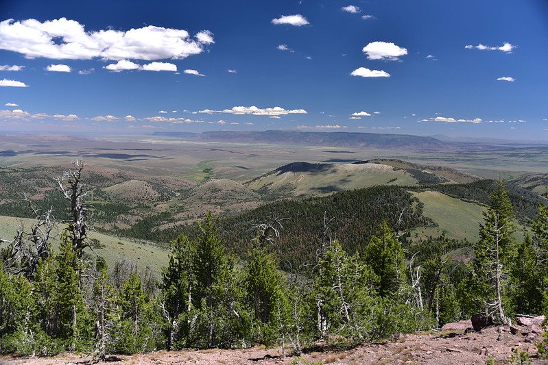
To the south we could see Drake Peak (left), Light Peak (center), and the ridge to the right where the Drake Peak lookout is (that’s right, the lookout is not actually located on Drake Peak itself):
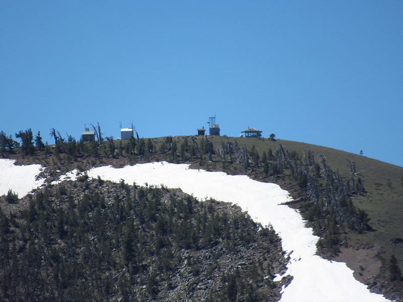
Zoomed-in on the lookout:
We searched around but we could not find any continuation of the road or any sign of the trail. (Later, looking at Google Earth, we would see that we had missed the spot a little ways back where the trail took off from the old road.) So we decided to head north cross-country and see if we came across the trail:

We had nice views:


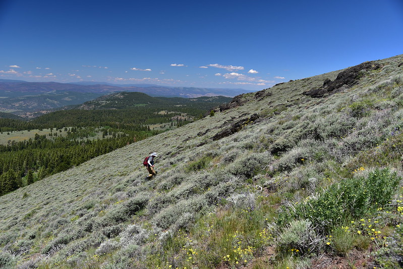
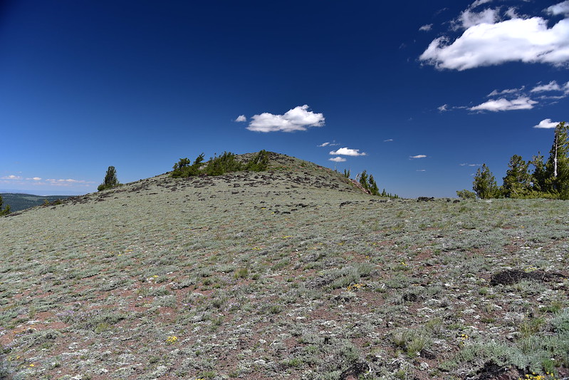
We saw a lot of wildflowers but somehow I didn’t end up taking many photos of them. It didn’t take long before we decided that the sidehill hiking without benefit of a trail was too difficult. We decided to go straight uphill to the top of Twelvemile Peak above us:

Looking back down at distant tiny Greg climbing up behind me:
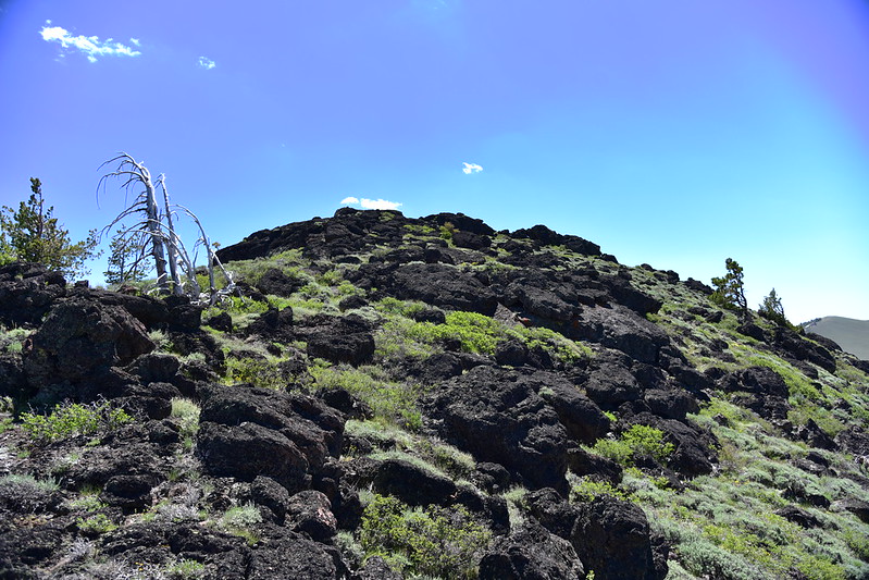
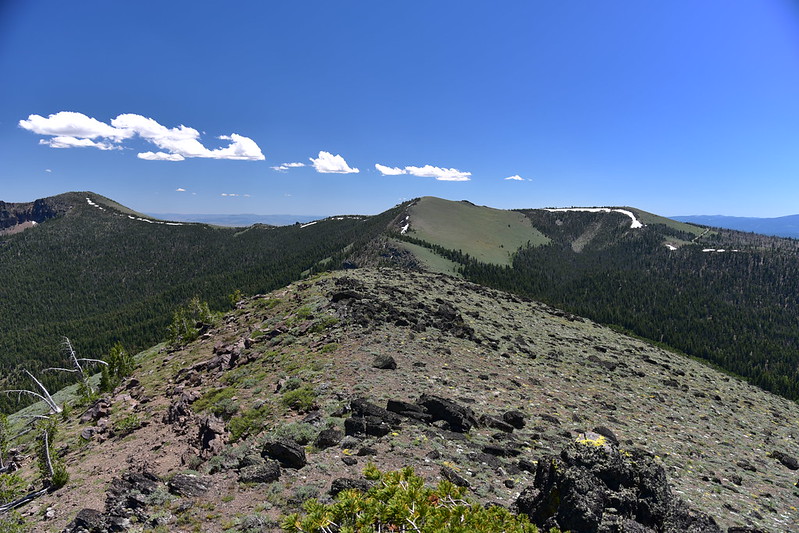
After a steep climb we reached a saddle between the two peaks of Twelvemile. The north peak:
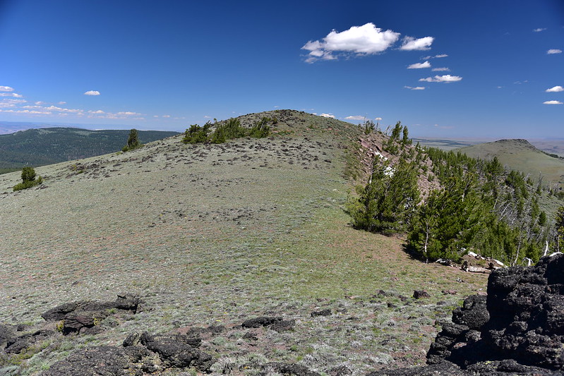
The south peak and true summit:
Looking down onto the saddle:
It was getting warm so we decided to sit in the shade of some trees in the saddle instead of on the shadeless summit. From this spot we had a good view to the east:
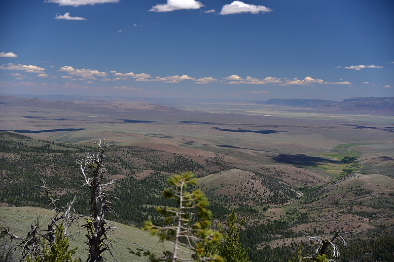

After our break we went up to the summit of Twelvemile. Looking south at Drake Peak and Light Peak:
Looking east:

Looking north:

From the summit we made our steeply back down the slope, then over to the old road. I didn’t take any pictures along that part, but did take some flower photos while waiting for Greg to catch up (there was MUCH botanizing by him today):
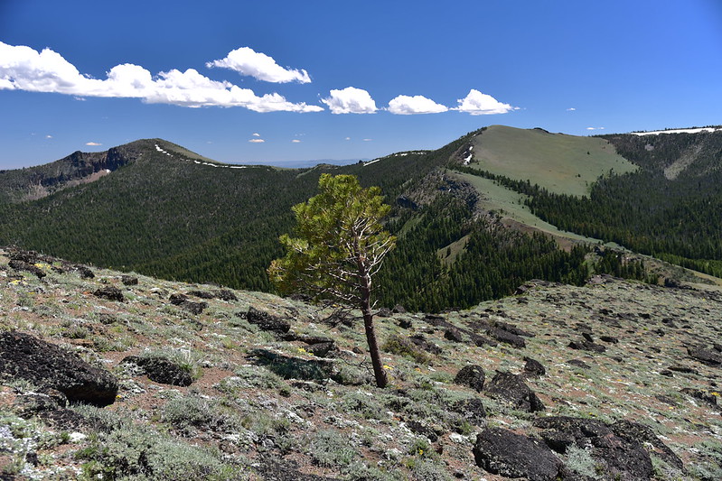
A lone and hardy tree:
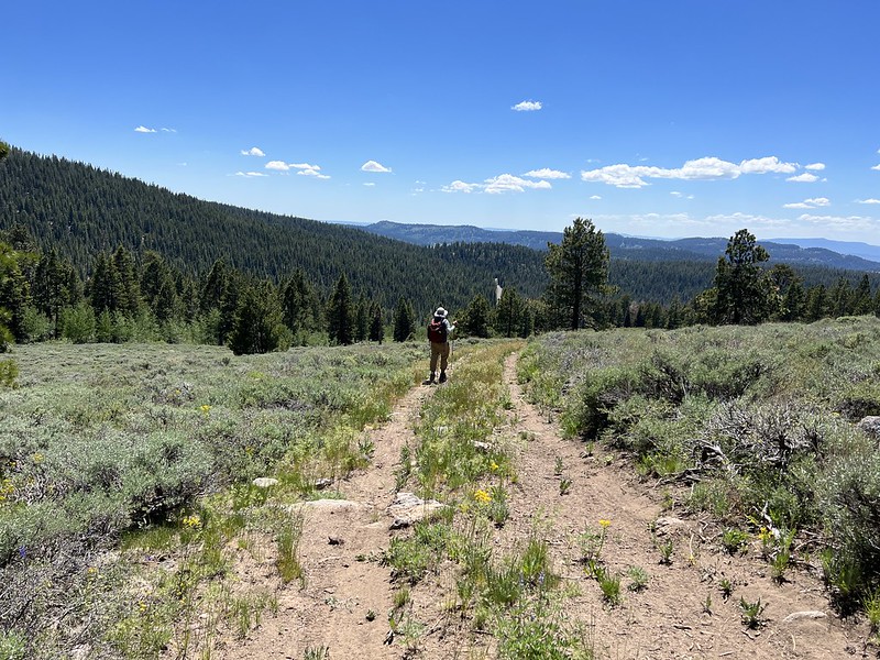
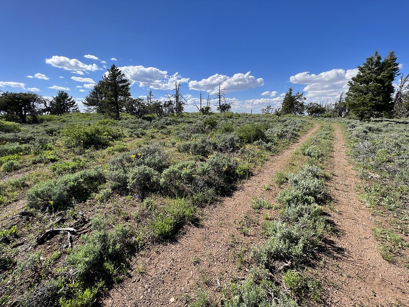
Hiking the road back to the trailhead:
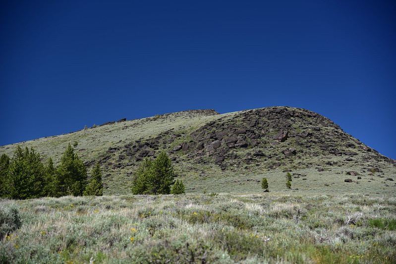
Looking back at Twelvemile Peak:

Gaia stats: 2.5 miles, 1,050′ elevation gain.
After that hike we visited Abert Rim, a former lookout site. There’s a road that goes there:
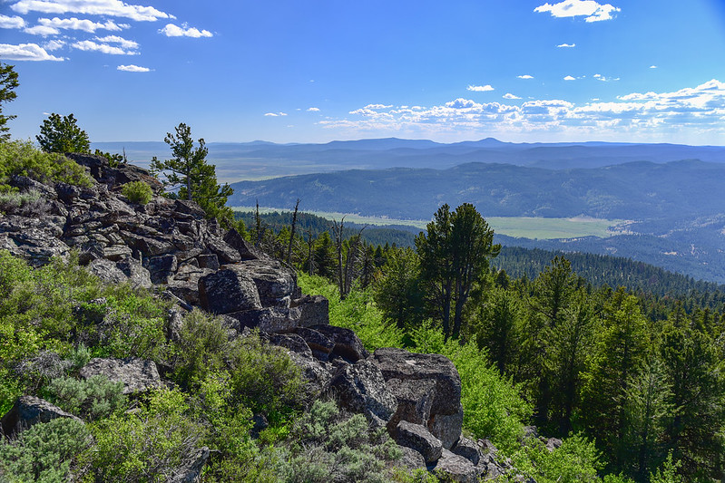
We had some nice views from the rim:


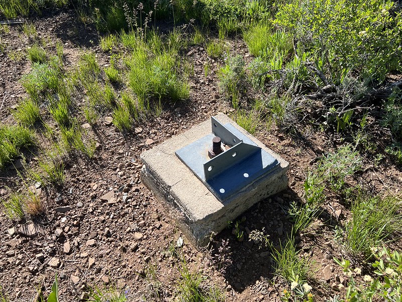
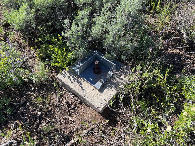
We saw the old footings from the tower that once stood here:
This is an undated photo of the lookout that was built in 1932 and removed in 1976:


