Our last hike of 2017 was up Vista Butte near Mt. Bachelor.
Greg and I spent New Year’s in Bend. On the same weekend last year there was snow all over the place. Snow along the streets of Bend, snow along the drive to Mt. Bachelor, lots of snow on the ground at the sno-parks (last year’s trip report from New Year’s Day). This year was quite different. It was sunny and beautiful, for one thing, and there was a surprising lack of snow. We saw a whole lot of bare ground as we drove up to the Mt. Bachelor area on Sunday, and the driving was smooth sailing unlike last year’s white-knuckle crawl through blowing snow.
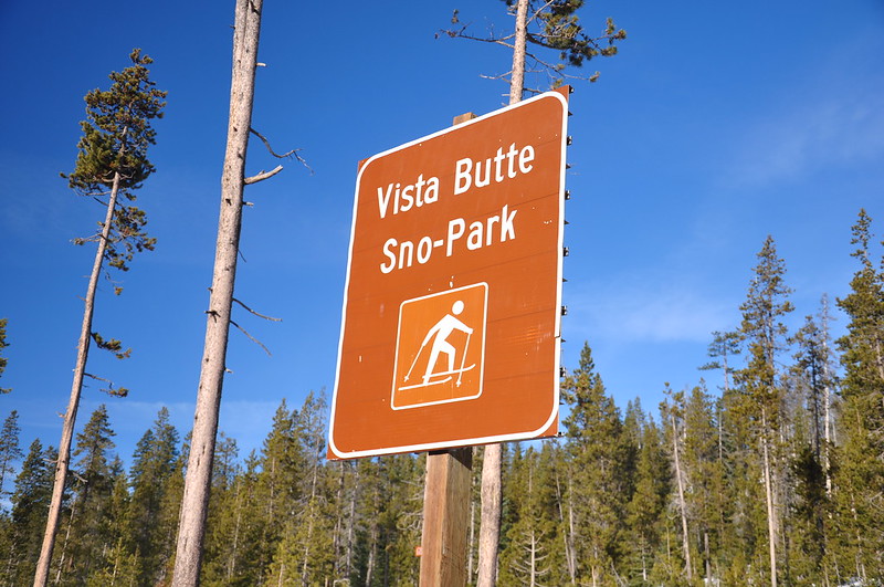
When we arrived at the Dutchman Flat Sno-Park at 9:30 there was absolutely no parking left. The lot was totally full and the Forest Service employee who was patrolling the area said there were no more legal parking spaces left if we wanted to snowshoe up Tumalo Mountain (unless we wanted to park further away and make a longer hike for ourselves). It was a beautiful day and we wanted views, so we headed back down the highway to the Vista Butte Sno-Park, which is nothing more than a wide spot on the road and easy to miss.
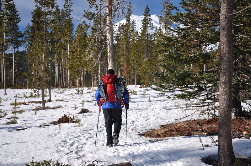
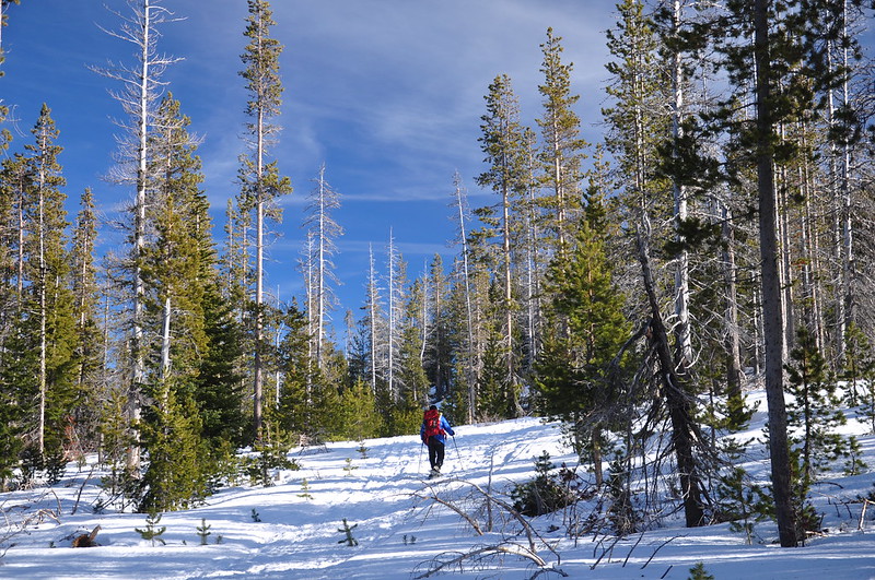
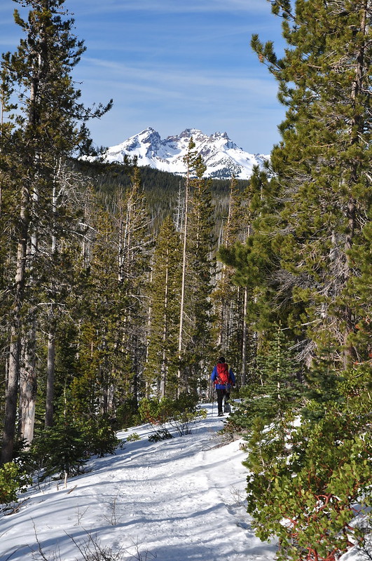
The trail parallels the highway for a bit before turning towards the butte:
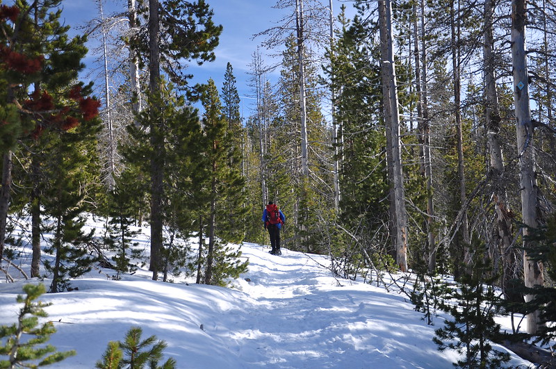
The trail split and we opted to go right on the Lower Loop. After 1.7 miles we met up with the Butte Trail and turned right for the final mile to the summit. A word of warning if you come here. The snowshoe route crosses an old logging road that is used by snowmobilers. You can hear them and smell their foul exhaust when the trail is near that road. Very unpleasant.
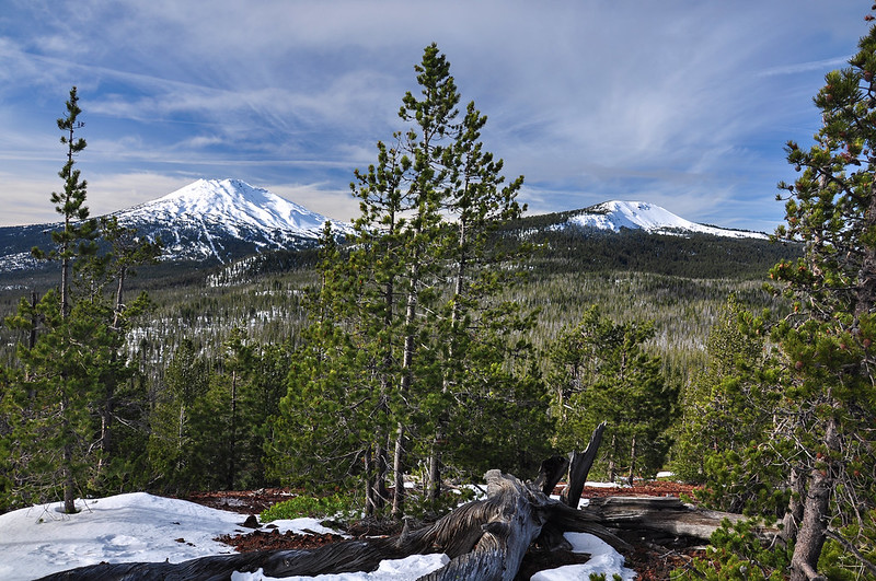
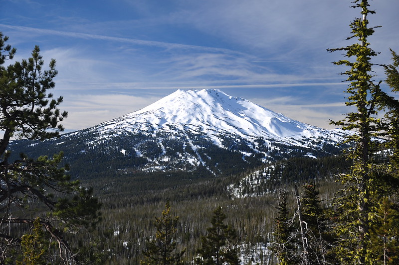
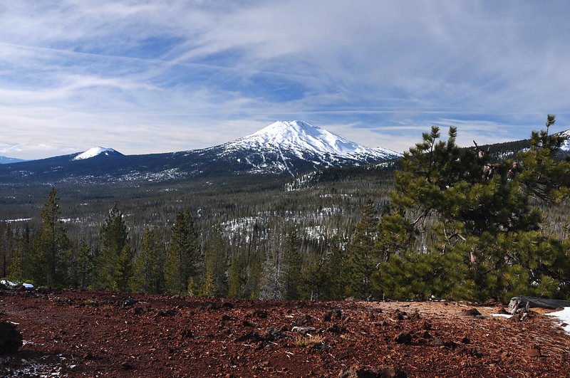
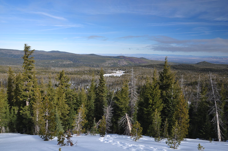
Almost to the summit we were already getting great views. Mt. Bachelor was right there, almost close enough to touch:
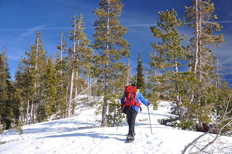
Final push to the top! (By the way, this butte is unnamed on topo maps, so maybe the Forest Service just slapped a name on it because they needed a named destination in the sno-park.)
It took us a little over an hour and a half to snowshoe the 2.8 miles to the summit. The summit was VERY windy and therefore cold. But the views were pretty awesome. We had to move around to get all the various views, but we ended up being able to see quite a lot. Mt. Thielsen:
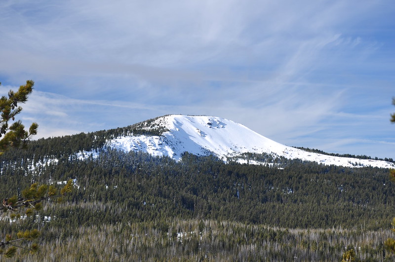
Kwohl Butte and Mt. Bachelor:
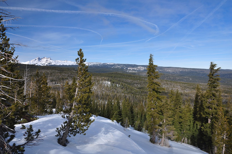
Tumalo Mountain, our original destination for the day (maybe next time):
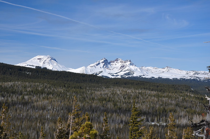
Looking north, with Broken Top on the left:
A better view of Broken Top (on the right) with South Sister on the left:
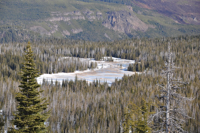
Swampy Lakes (and Tumalo Falls is somewhere out of sight down there):
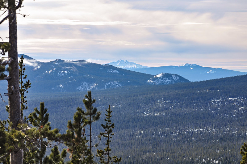
Diamond Peak and The Twins:
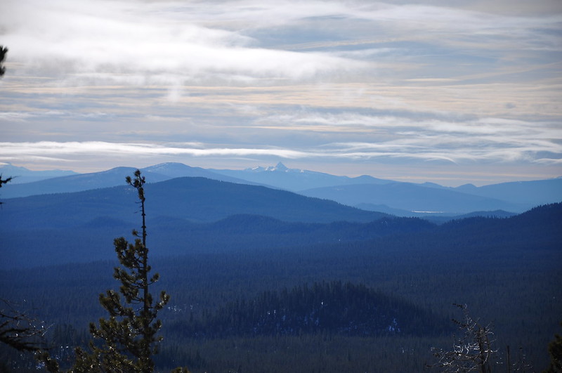
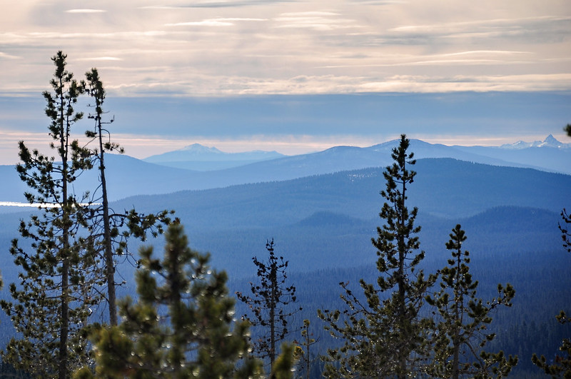
We could even see Mt. Shasta! (Nope, I was wrong. That peak is Mt. Scott, not Mt. Shasta.)
Snowshoeing back down:
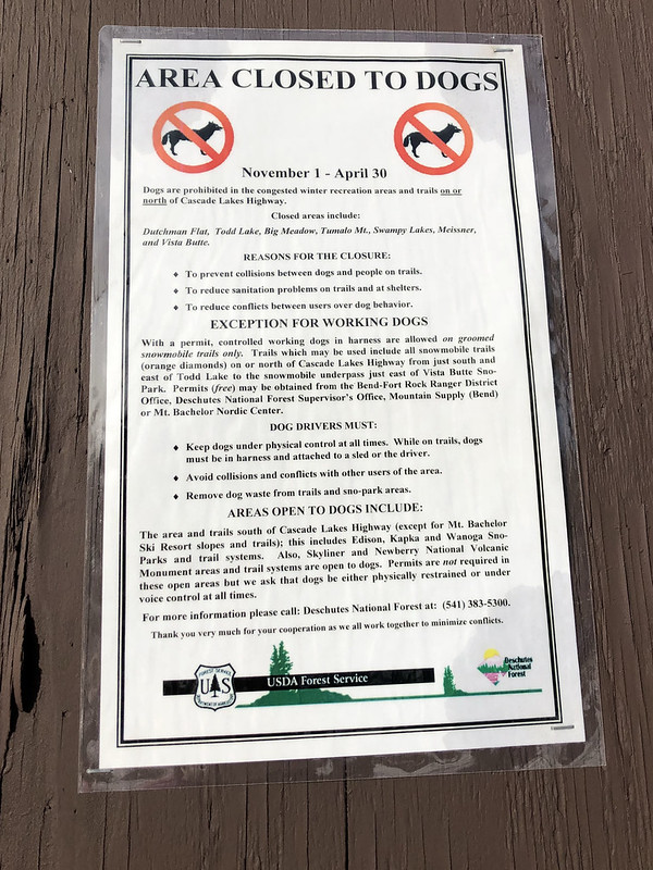
5.3 miles with 670 feet elevation gain. This is a great snowshoe for a clear day! It’s not too long or difficult and the views are pretty great. A note to dog-owners, though: dogs are not allowed here, although that didn’t stop a large group of people that we saw on the summit, who had brought their dog along anyway (and it wasn’t even leashed). Here is the sign at the sno-park:
Here is our track:
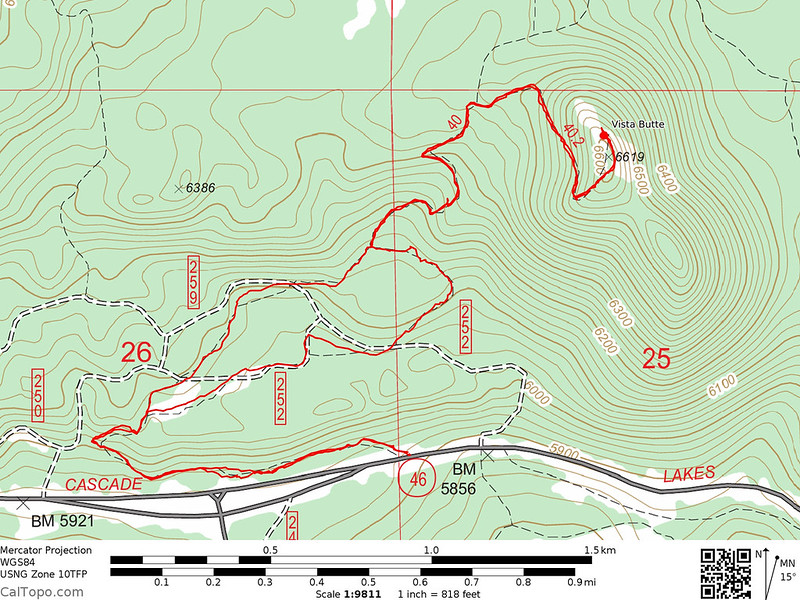
And here is a map of the snowshoe trails in that area.
Video:


