September 13, 2015
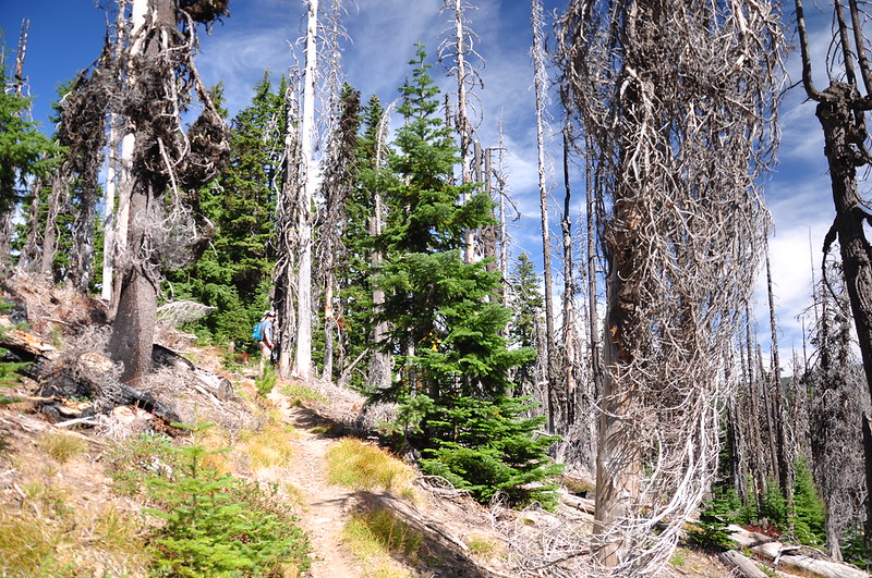
Today we hiked to Gunsight Butte. We parked alongside Highway 35 and headed up the Gumjuwac Trail:

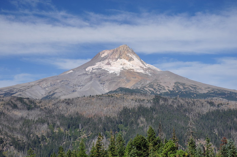
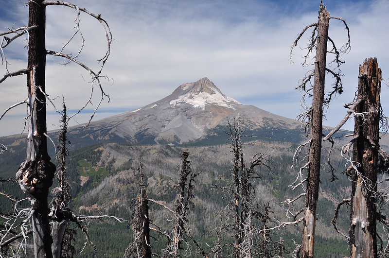
This is all in the trees except for one nice spot with a view of Mt. Hood:

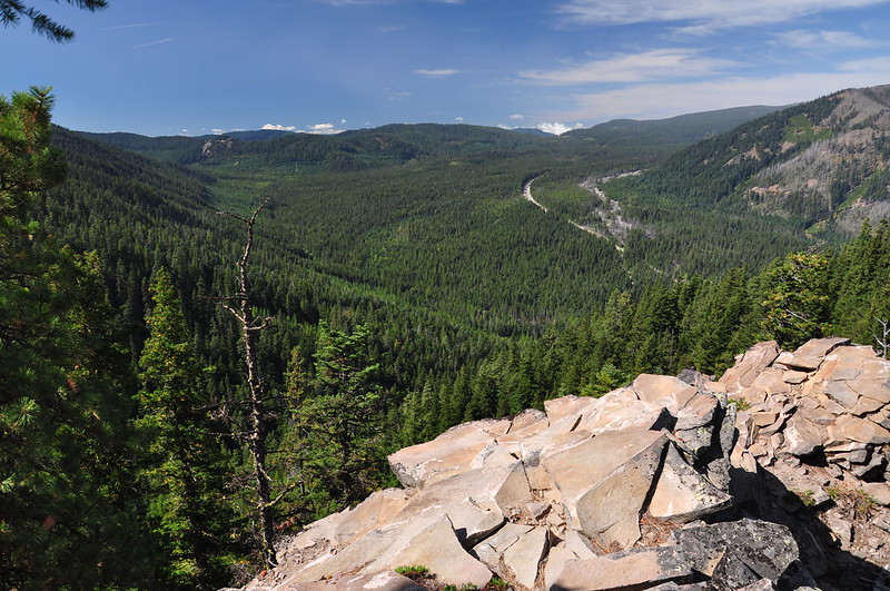
We could also see south down onto Highway 35:
After 2.5 miles and 1,600′ elevation gain we reached Road 3550 and Gumjuwac Saddle and this cool old sign:

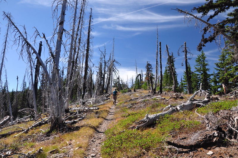
Now we headed south on the Gunsight Butte Trail:

According to the map this is the summit of Gunsight Butte:

But this rockpile a bit further up the trail seems more likely:

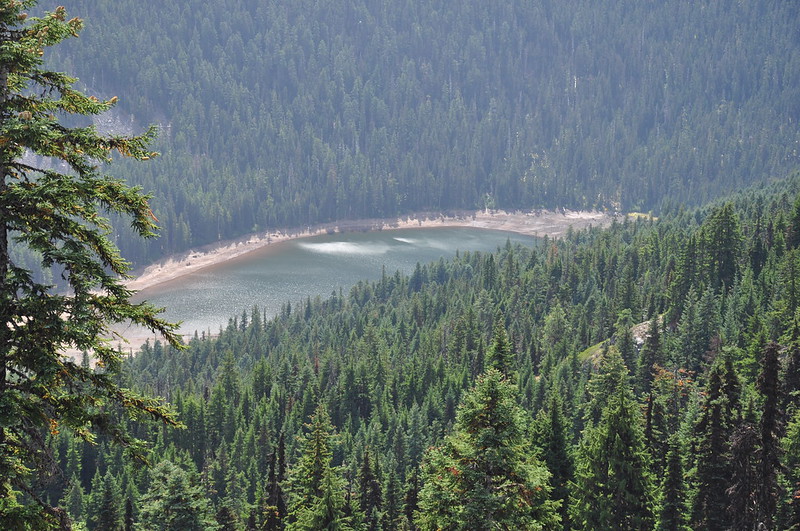
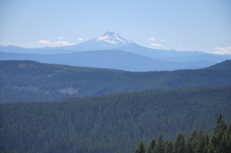
About 1.8 miles from Gumjuwac Saddle, the Gunsight Butte Trail meets back up with Road 3550. Near that spot we had a view looking down on Badger Lake with Mt. Jefferson beyond:

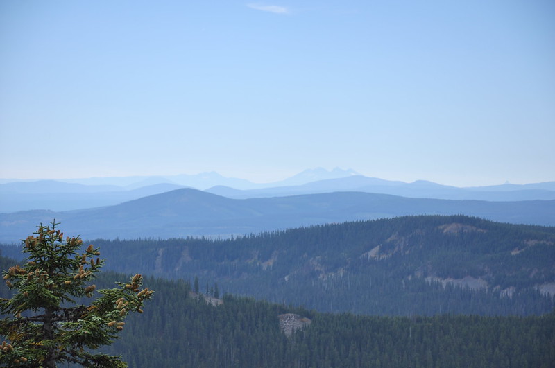
We could even make out Broken Top and the Three Sisters:
Then we retraced our steps back to the car.


