Sunday, July 10, 2022
Before heading home from our Mt. St. Helens weekend, we decided to do a hike up on Strawberry Mountain, just outside the boundaries of the volcanic monument.
The area is a bit confusing. When most people say they are hiking Strawberry Mountain they mean they are hiking up from the Bear Meadow Viewpoint to the former site of the Strawberry Mountain fire lookout. Strawberry Mountain is actually more like a long ridge with several high points. We opted to skip the lookout site and start from a trailhead on Road 2516 so we could hike north along that ridge.
Road 2516 was slow going with a lot of dips and potholes. Around 4.6 miles in we came across this lingering patch of snow on a slope where the path to the left was pretty muddy, but we were able to get through:

Around 5.4 miles we came to a bigger patch of snow. I wasn’t sure if we could get through this or not so I got out to scope things out:
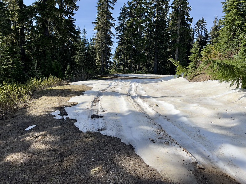
Just around the corner from that snow patch was this:

Well we’re definitely not driving any further. So we parked alongside the road and walked the last half mile to the trailhead:
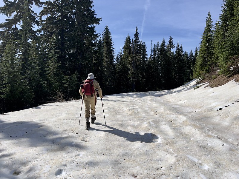
We saw this in the snow. Bear print?

At the trailhead was this old weathered sign about the Strawberry Mountain Lookout. Although most people hike up from Bear Meadow to the south, as I mentioned earlier, you could also hike in from this spot to the north :

There was a pretty patch of phlox at the trailhead:

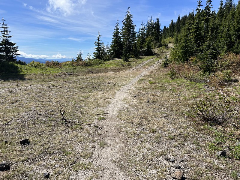
We set off up the trail, climbing up through the forest:
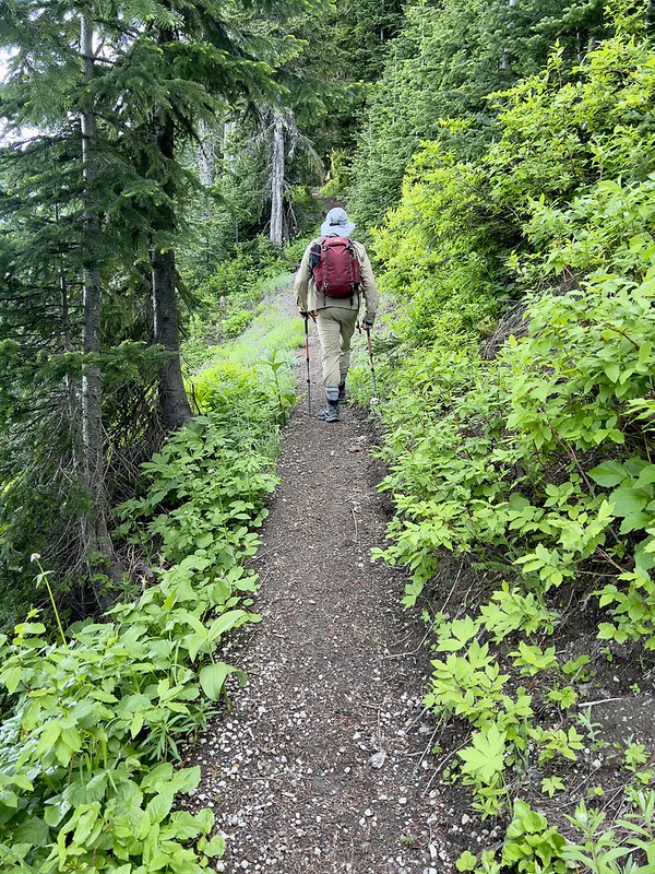

What snow remained was not a problem:

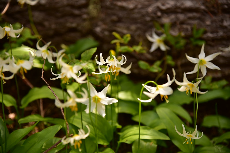
We saw quite a few avalanche lilies, which was a pleasant surprise:

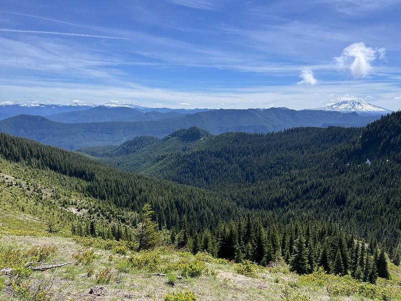
The trees thinned and we started getting some views. Looking east to the Goat Rocks and Mt. Adams:


We reached an unsigned junction with an old skid path. We could see this route on the map and we would end up taking it on the way back since it ended on the road right by the spot where we parked:
We started getting views of Mt. St. Helens and the snowy peaks of the Mt. Margaret Backcountry:


Looking down onto Ryan Lake:
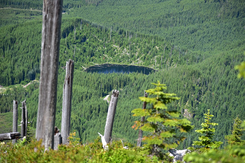
The topo map labels the 5,739′ forested peak below as Strawberry Mountain:

Looking east to Mt. Adams:

We completely left the trees behind and entered an open meadow area:
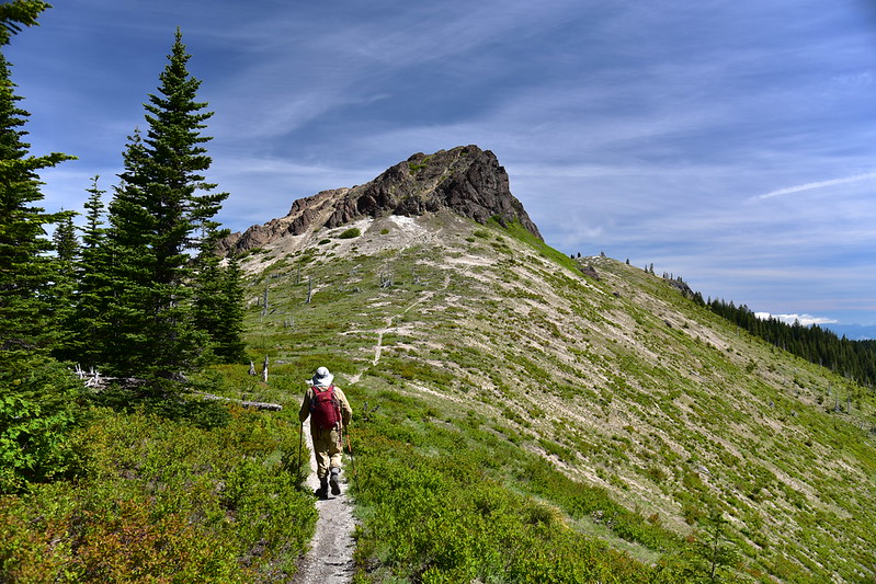
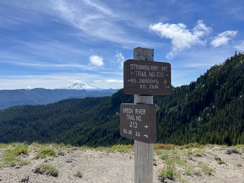
We reached the junction with the Green River Trail and kept going:
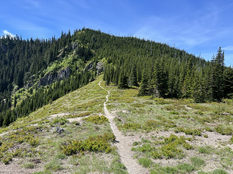
Looking back the way we came:
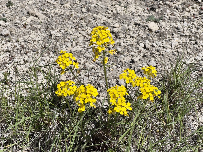
We started seeing quite a few wildflowers:


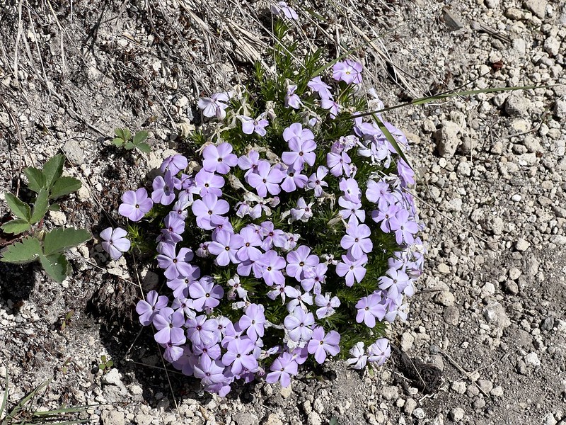

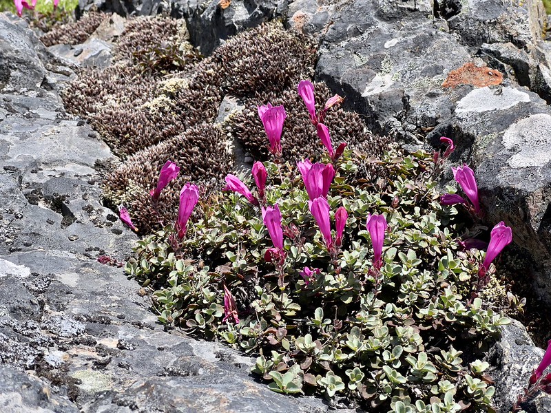

And of course wild strawberry, which one would expect to see on Strawberry Mountain:

The trail curved around the right side of that big rock outcropping:

Then there was more open ridge walking ahead:
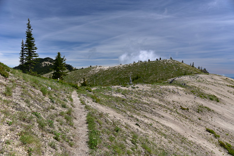
Looking back at the big rock outcropping:

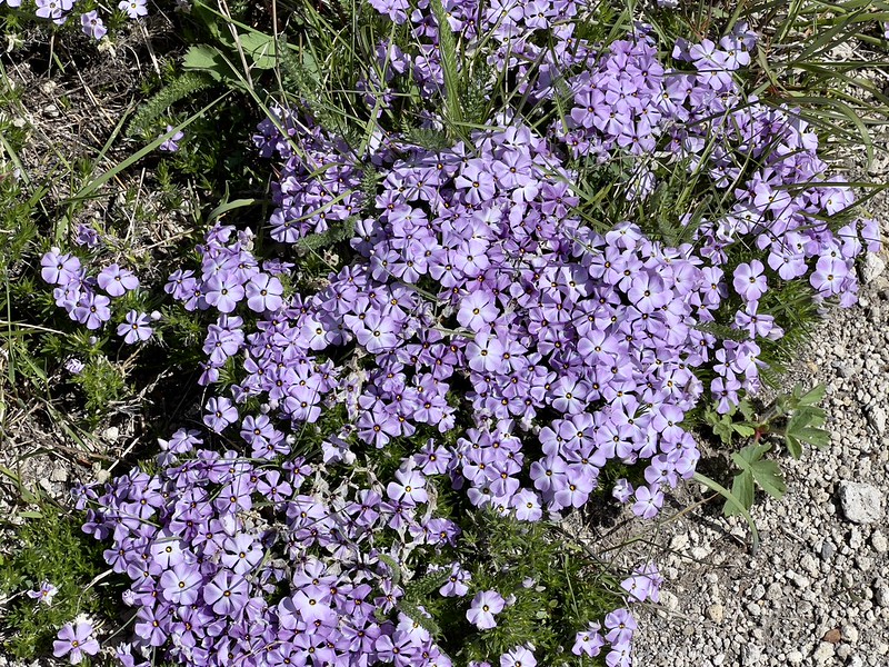
There was quite a lot of phlox in bloom:

The views were getting better and better. Now we could see Mt. Hood to the south:


Mt. Adams again:

And Mt. St. Helens:
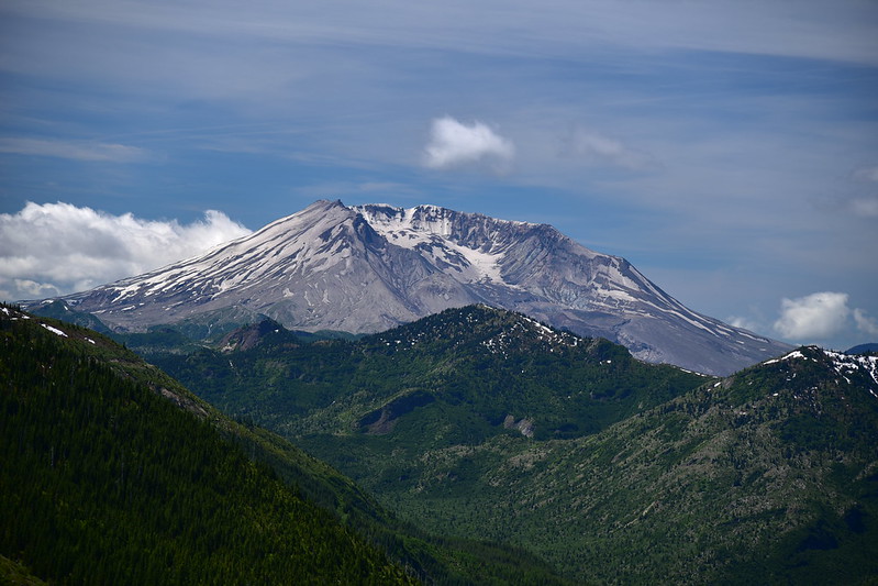

We continued north just a little bit:
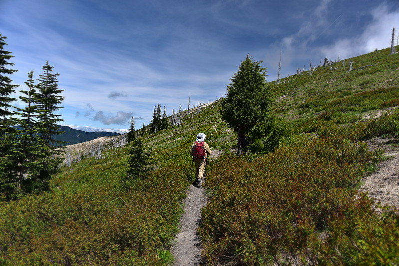
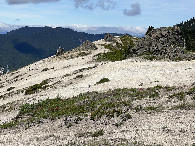
Then we doubled back on a boot path that led up to some rock outcroppings above the trail with great views:
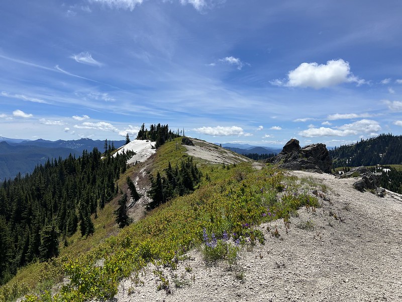
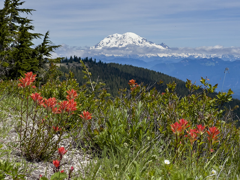
Mt. Rainier:

We sat down for a break, soaking in the awesome views. We had only hiked 2.2 miles from the trailhead and already we gotten a lot of bang for our buck! While Greg worked on identifying wildflowers I walked another 0.2 out to the 5224′ high point beyond the rock outcroppings:
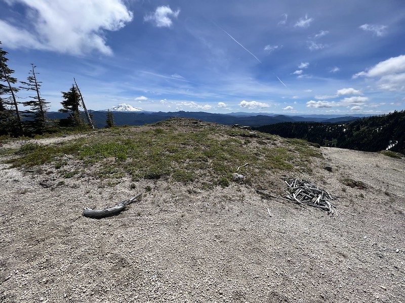
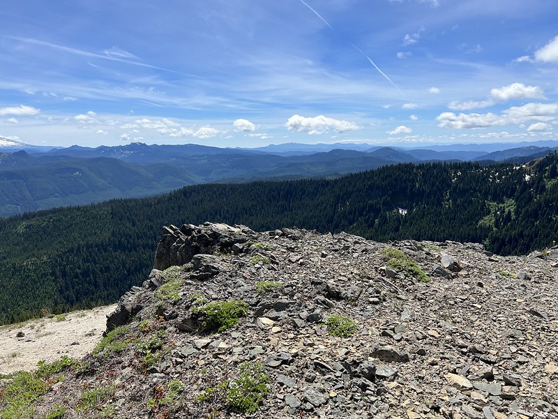
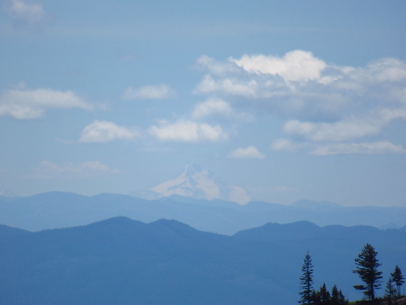
Mt. Hood:

I could even see distant Mt. Jefferson!
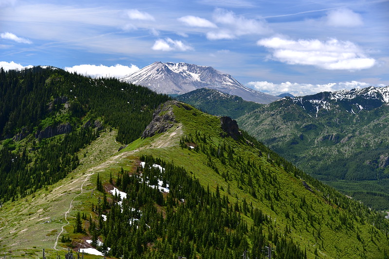
From above I could look down on the trail below that we had hiked in on, with Mt. St. Helens beyond:
The Goat Rocks:

The 5739′ peak:
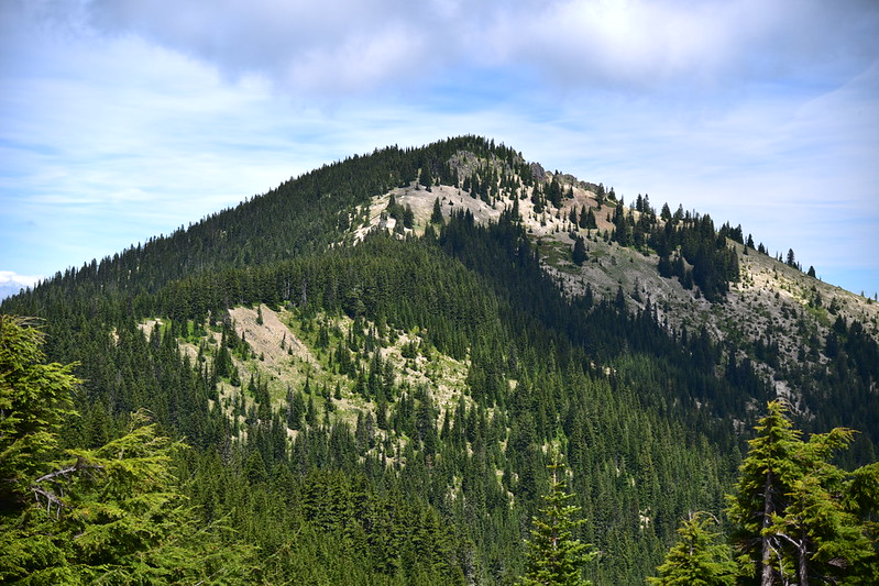
Looking back toward our spot at the rock outcrops:
Mt. Rainier and some pretty paintbrush:
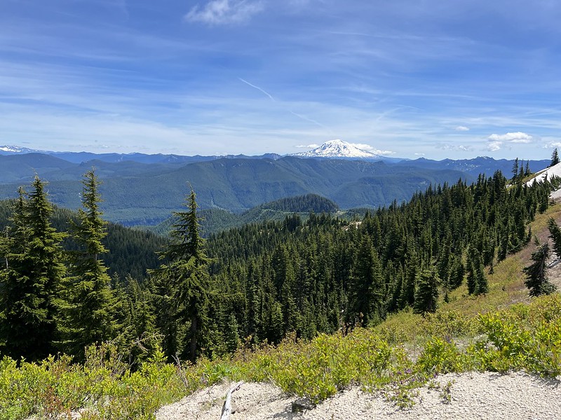
View to the east:
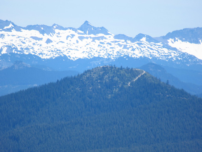
Zoomed-in on Burley Mountain lookout with the Goat Rocks behind:
We still had a long drive home this afternoon so we reluctantly packed up and headed out. Greg wanted to linger over some wildflowers so I walked north for another 0.1 to see what I could see, but the trail headed into the trees at that point:
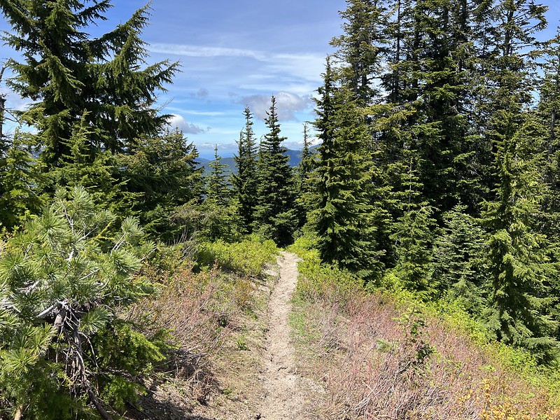
Looking south from that point:

Mt. Hood again:
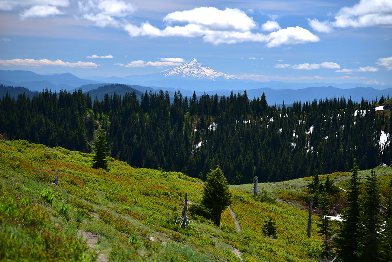
I rejoined Greg and we headed back the way we came, taking the skid road once we reached that junction:

While this wasn’t exactly scenic, it was easy walking:

We encountered some snow that was easy enough to navigate:


We also encountered an unbelievable amount of trash. Pack it out, people! This is what we picked up just along that one stretch:

I don’t think this trail sees much use, for some reason. It’s in great shape and the effort-to-reward ratio is pretty awesome. Snowy road notwithstanding, we picked the perfect time to go. The skies were clear and smoke-free, the wildflowers were blooming, and we didn’t experience any bugs.
Gaia stats: 5.4 miles, 680′ elevation gain

Gaia stats: 5.4 miles, 680′
Video:
