Friday, June 10 – Sunday, June 12, 2022
The wet spring continues. With an atmospheric river and A LOT of rain affecting much of the state, I headed to southern Oregon to try and find some dry weather.
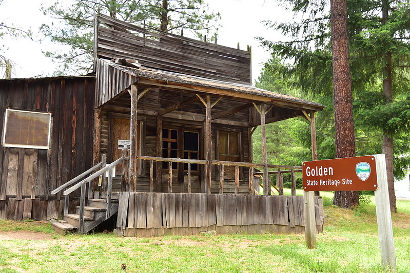
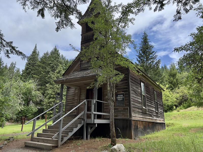
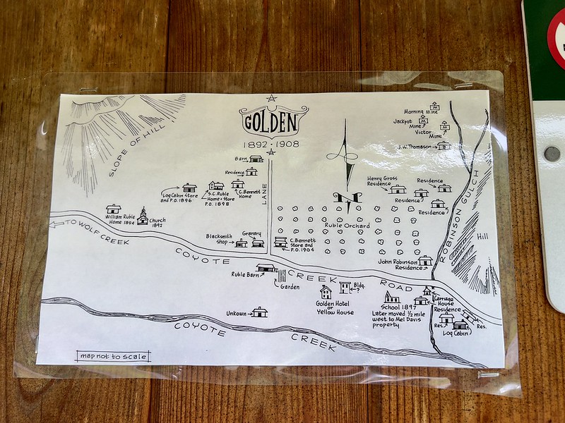
My first stop was the Golden State Heritage Site. Golden started off as a mining camp and grew to a town by 1890. It was unique for not having any saloons, but it did have two churches.

The store:
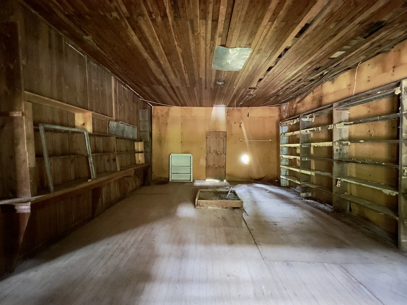

Granary:

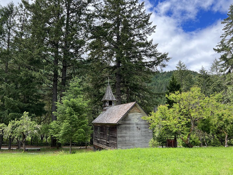
Church:

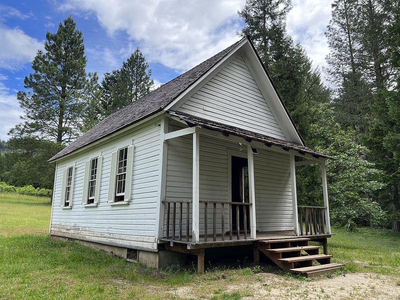
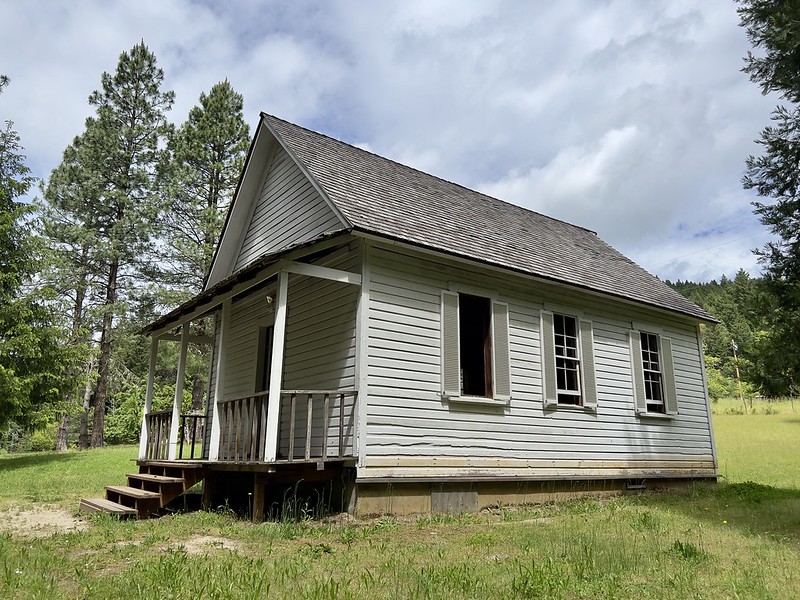
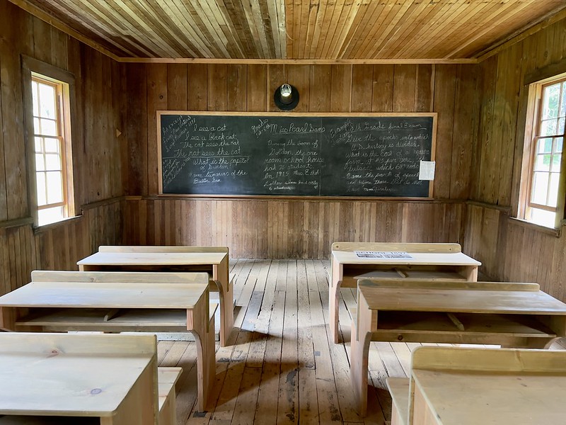
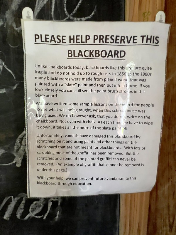
School:
I was disappointed to see this:
There is a signboard with a map showing were buildings were once located:
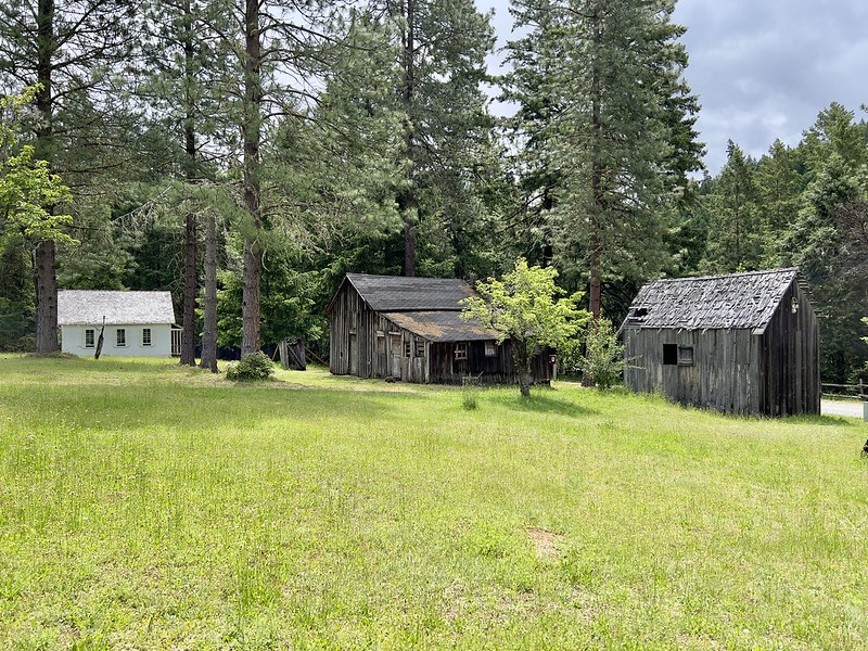
School, store, and granary:
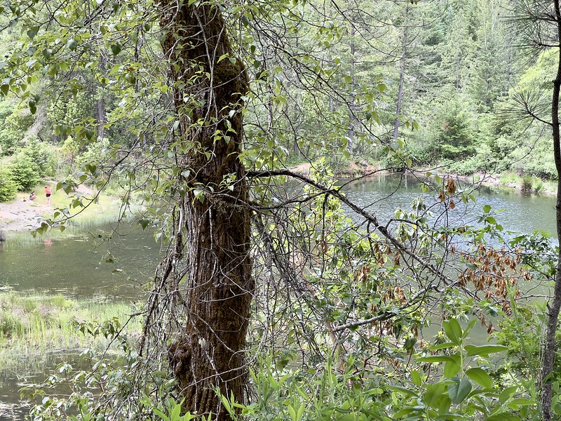
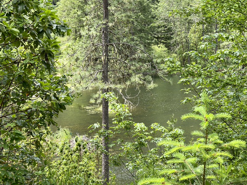
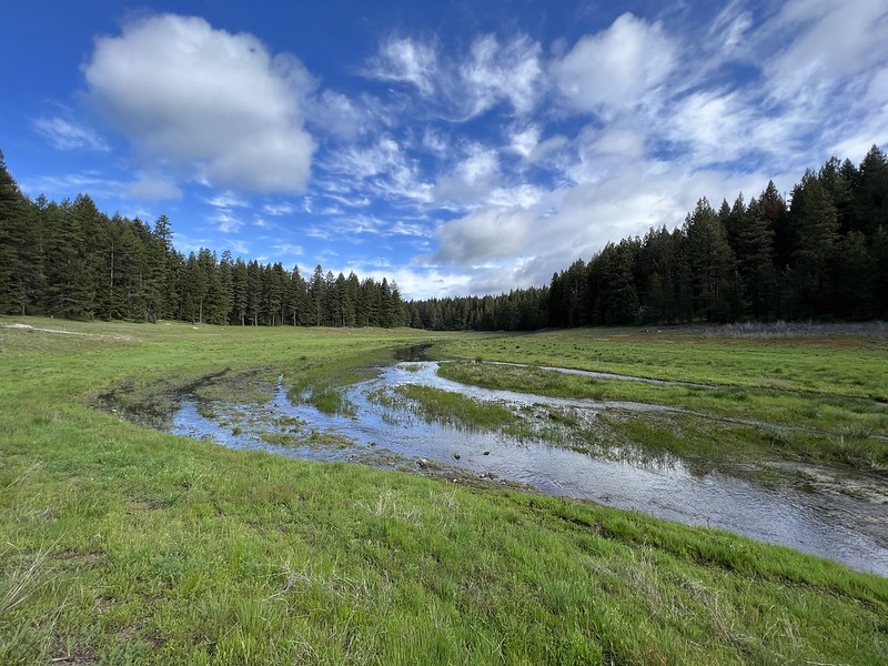
Through the trees you can see down to the ponds on Coyote Creek below, which is where I was headed next:
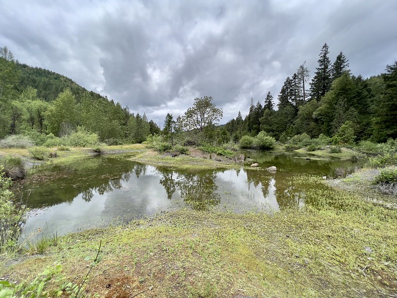
There is a trail down to those ponds, which is part of the Golden Coyote Wetlands:

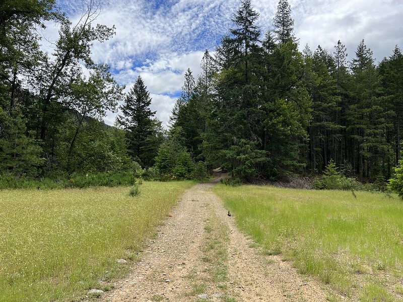
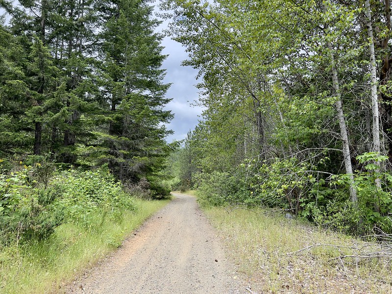
Much of the trail is actually just an old road:


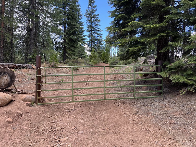
A failed attempt to keep vehicles out:


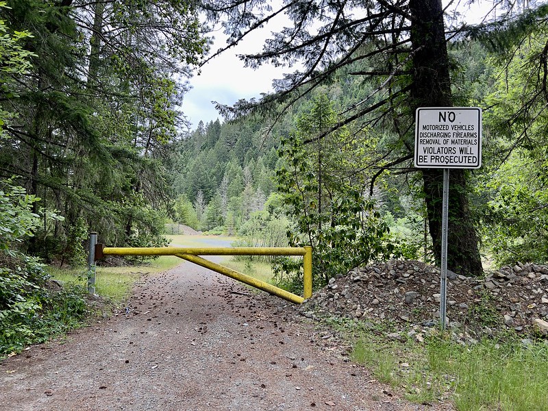
The trail ends at this gate along the road. This gate is also a failed attempt at keeping vehicles out, as they simply drive through the forest to get around the gate:
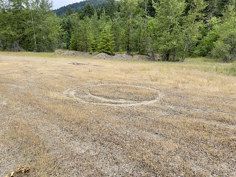
And I certainly saw plenty of evidence of recent vehicles driving in here:

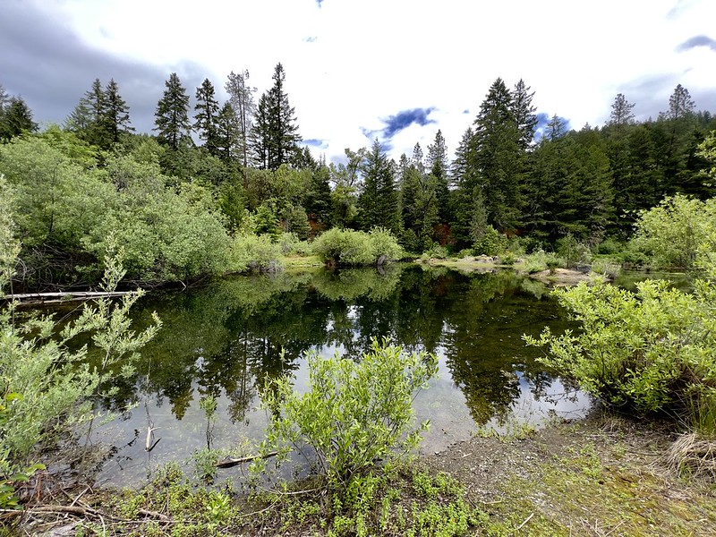
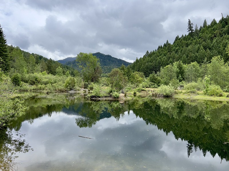
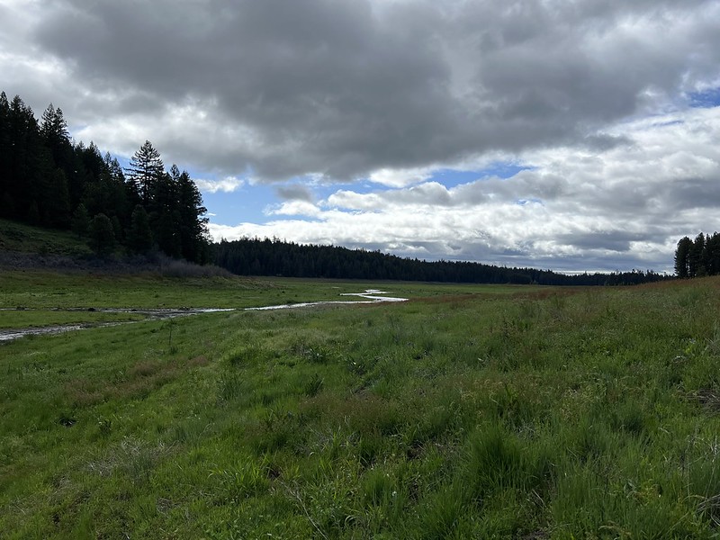
Despite the trash and the damage caused by illegal vehicles, it was still a pleasant spot:

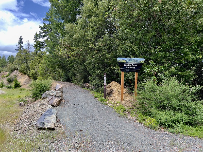
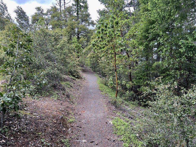
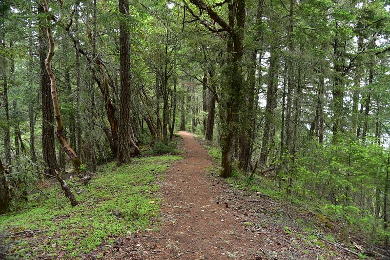
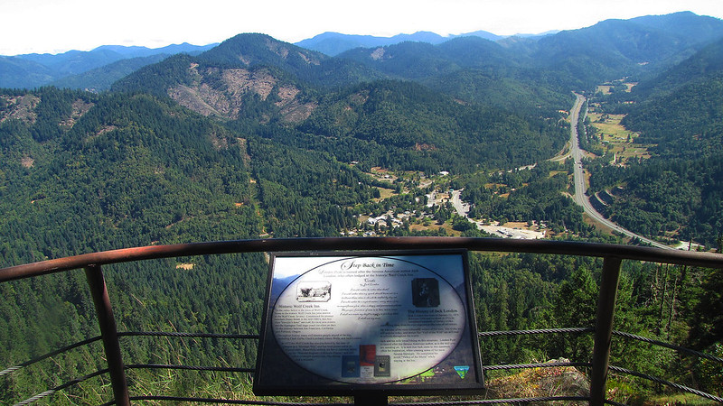
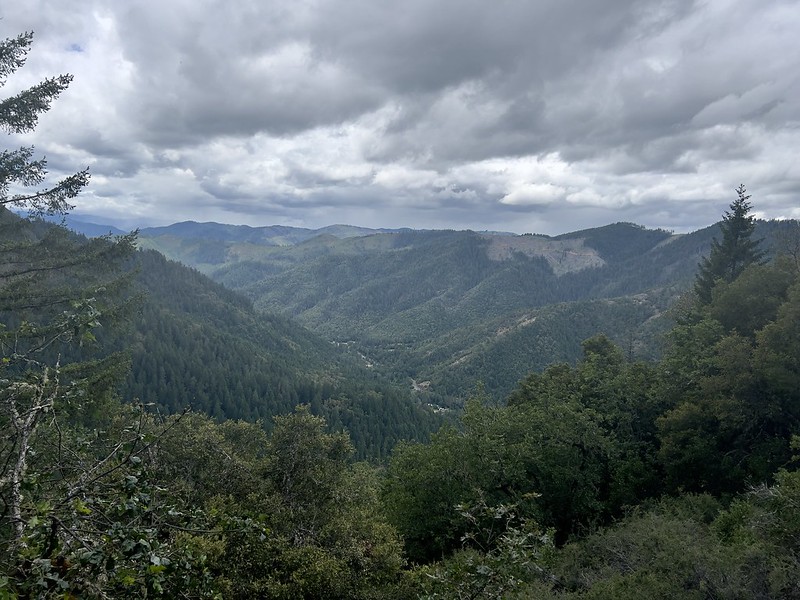
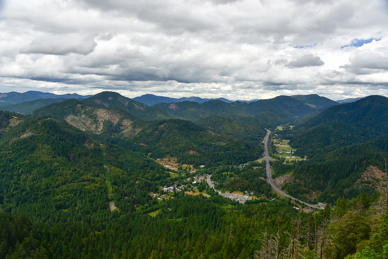
My next stop was London Peak. There is a road that goes up to the top where you can park and walk a short trail out to a viewpoint:


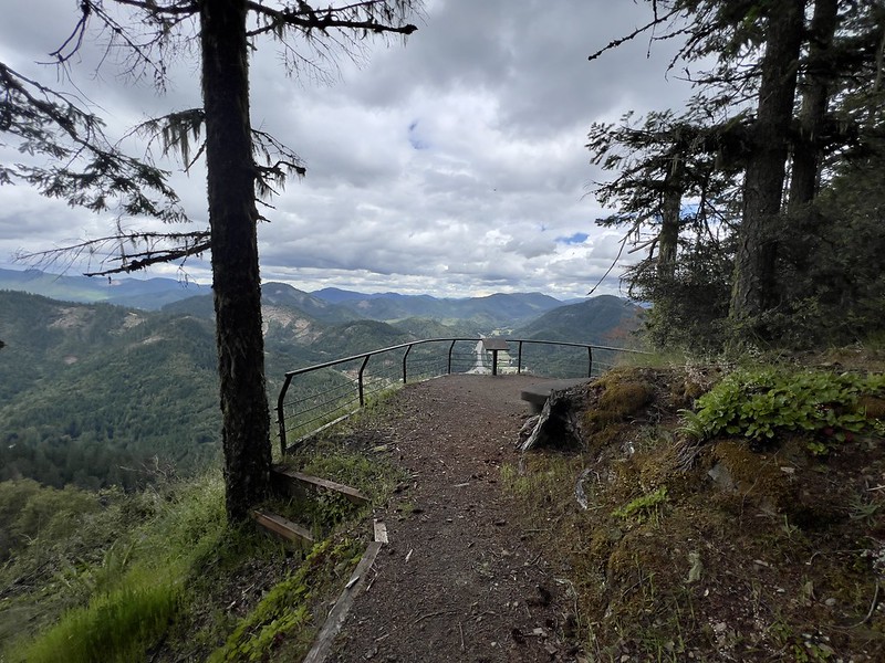
The sign at the viewpoint is empty, but the 2012 BLM photo below shows what it once said (high-res version here). London Peak was named after author Jack London, who often lodged at the Wolf Creek Inn at the foot of the peak:
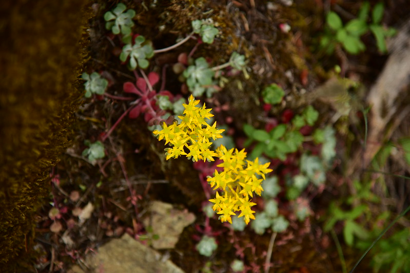
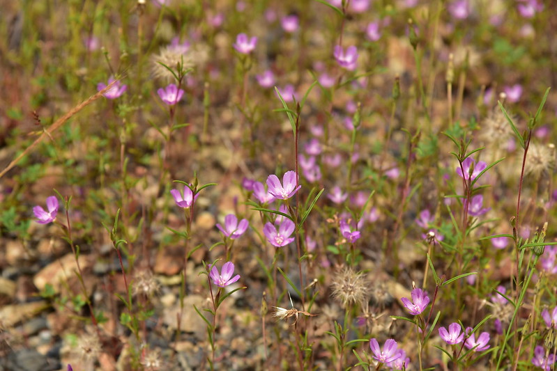
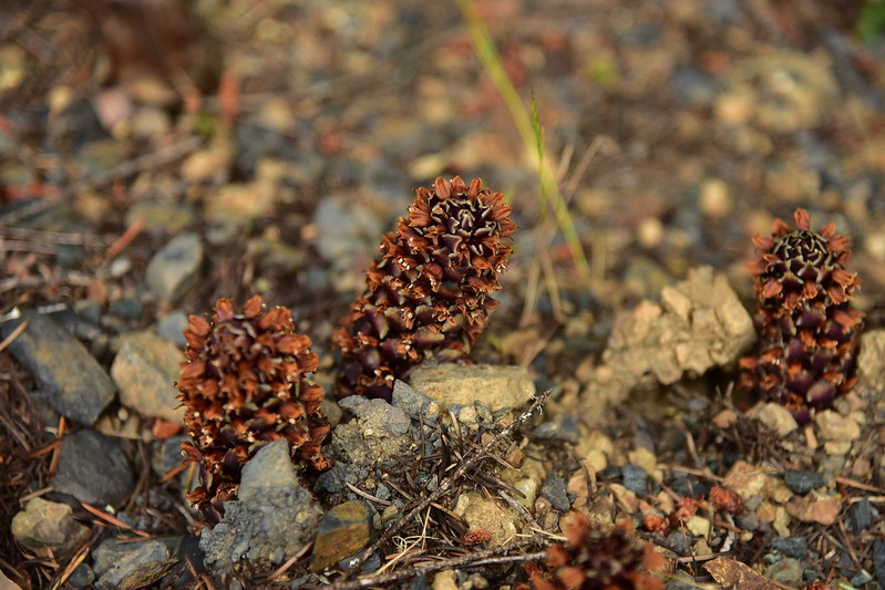
I saw a few wildflowers:

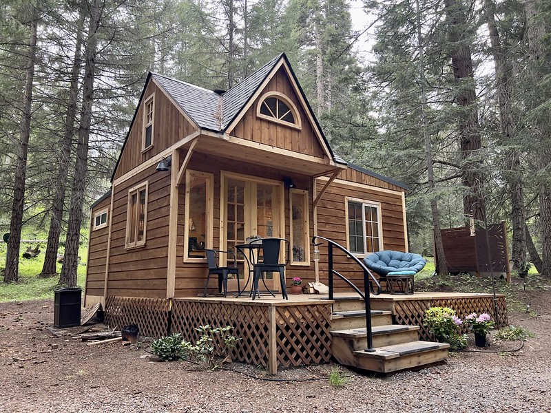
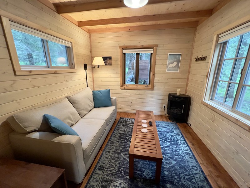
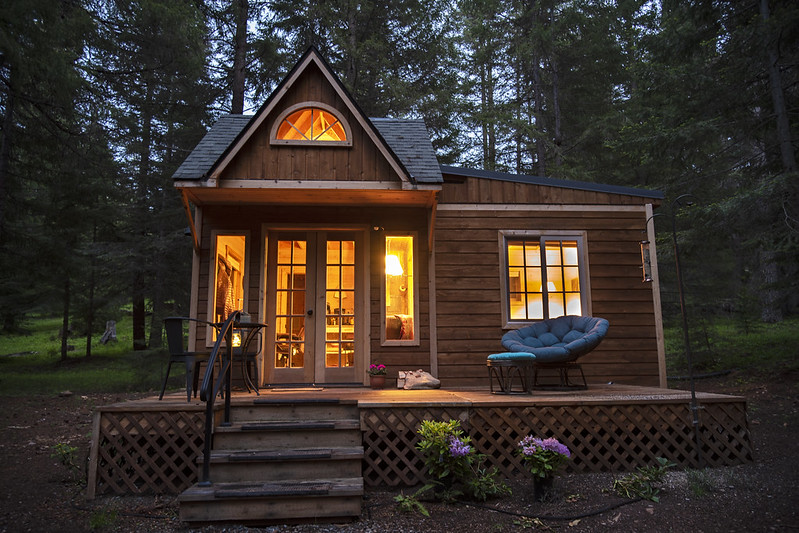
My activities concluded for the day, I now headed for my lodging. There was a threat of rain even down in southern Oregon so rather than camp I had booked a cabin near Howard Prairie Lake. I settled in and had a leisurely evening reading and drinking wine:


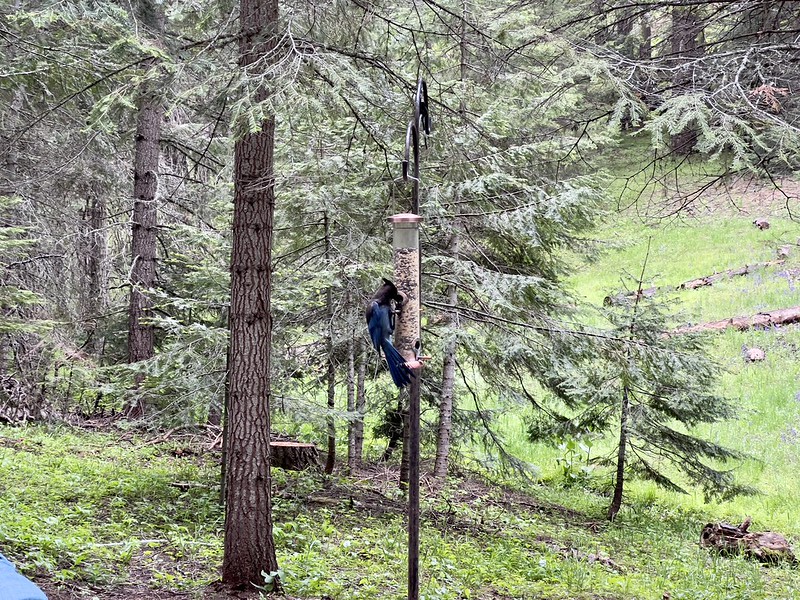
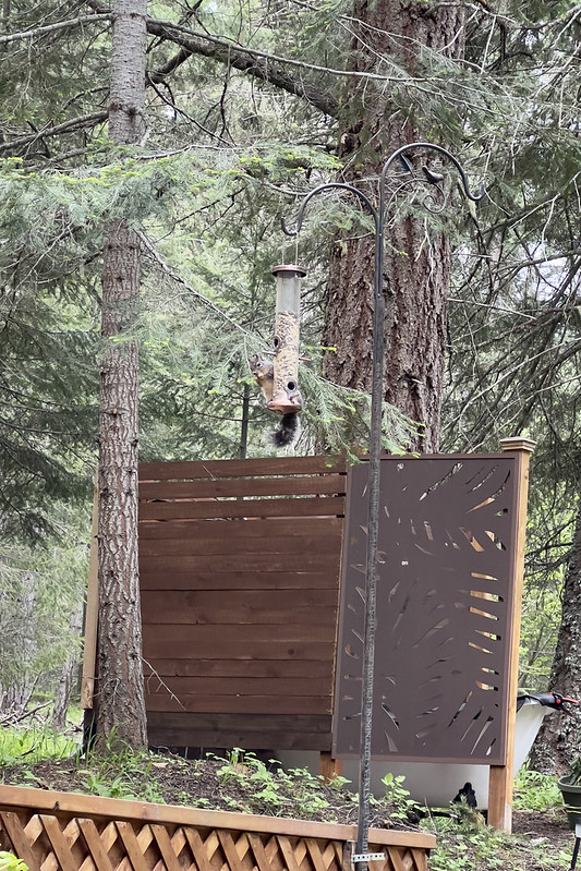
The next morning I took it easy, drinking tea and eating breakfast and watching the birds on the feeder:
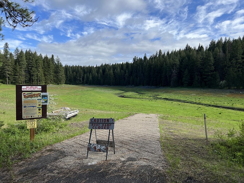
I set off for some exploration, first stopping at the boat ramp at Grizzly Campground. This boat ramp is closed because Howard Prairie Lake no longer exists here. (I later found an article about this.)
I walked down to the dry lake bed. Looking upstream:
Looking downstream:
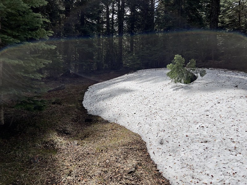
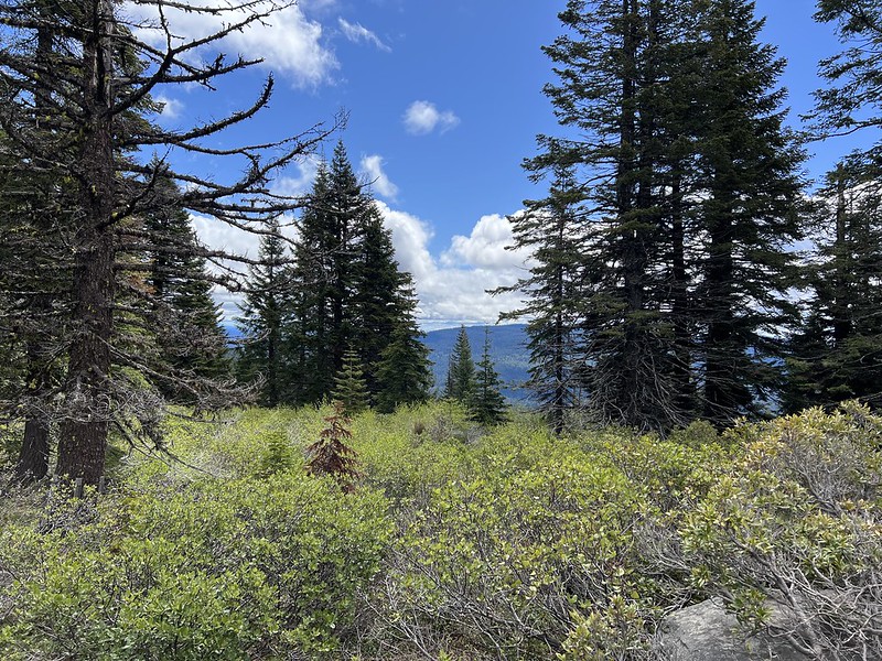
I set off for the former lookout site on Old Baldy. The road was snow-free, but there were still a few patches on the hike up to the summit as I followed the barely-visible route of a former roadbed:
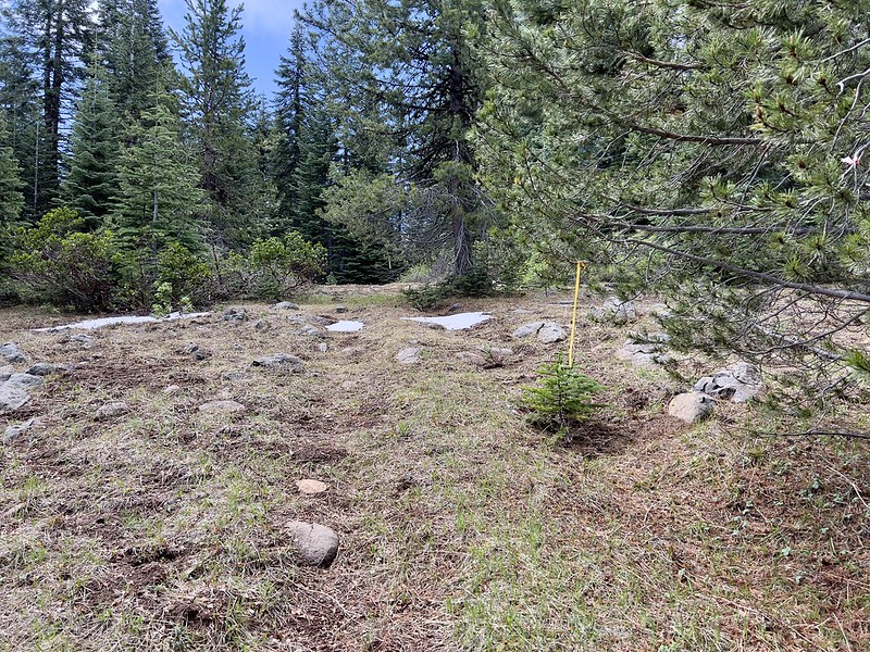
I found the geocache and had a look around. The trees have grown up and there aren’t views anymore:


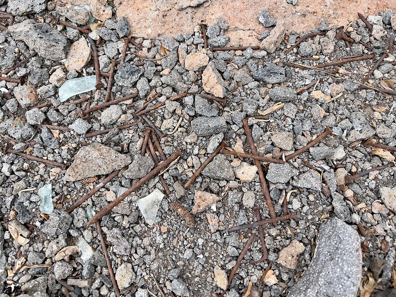
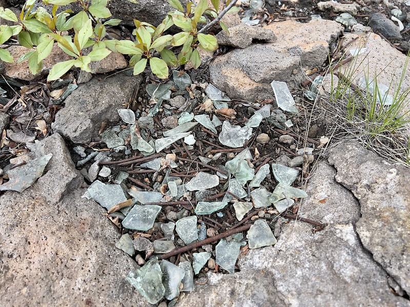
Nails and glass are all that’s left of the lookout:
After that I drove up to Chase Mountain where the fire lookout still stands but is abandoned:
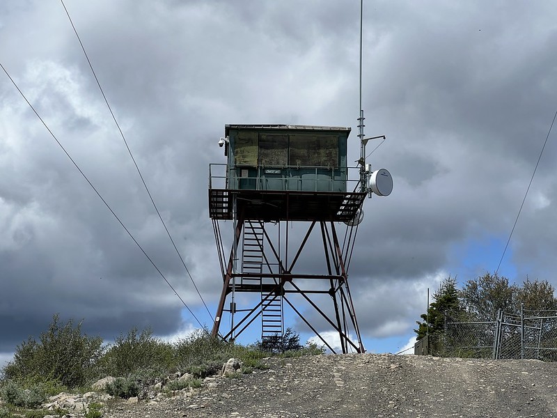
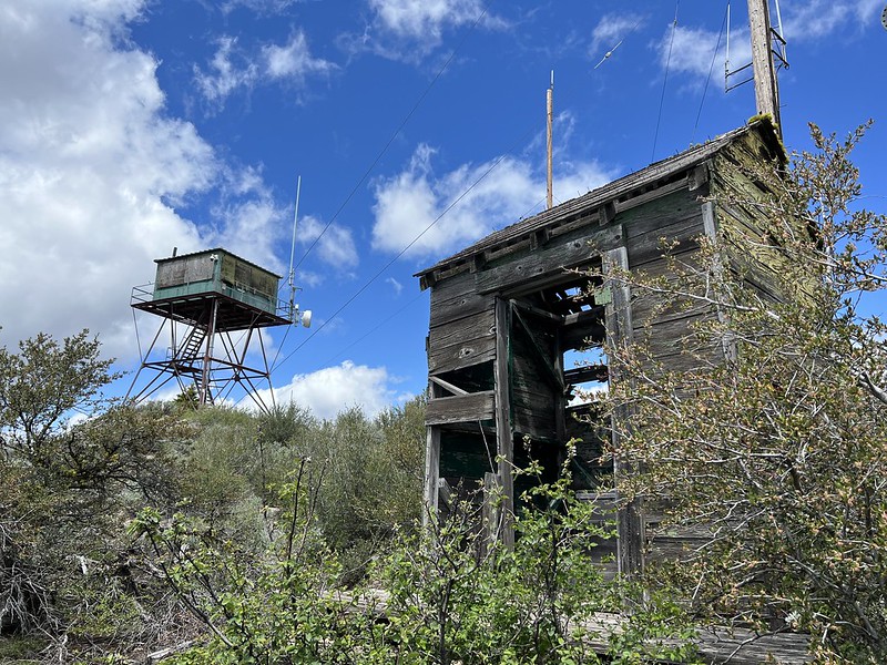
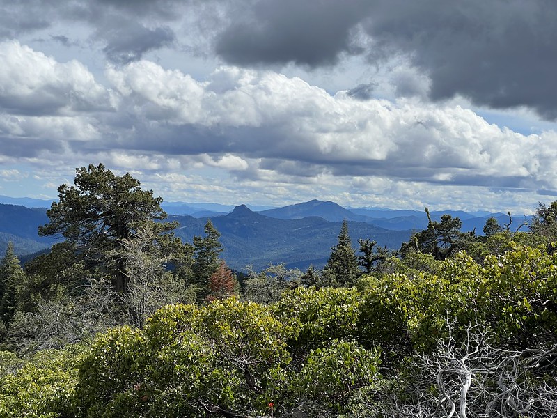
It was VERY windy up there, and there were quite a few clouds. I could see the bottom of Mt. McLoughin, though:

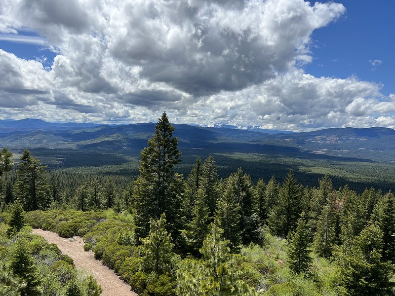
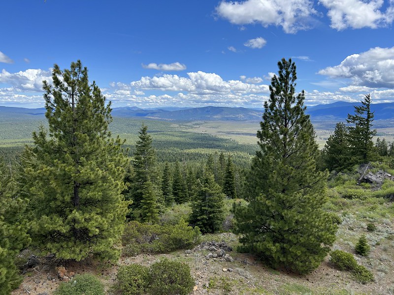
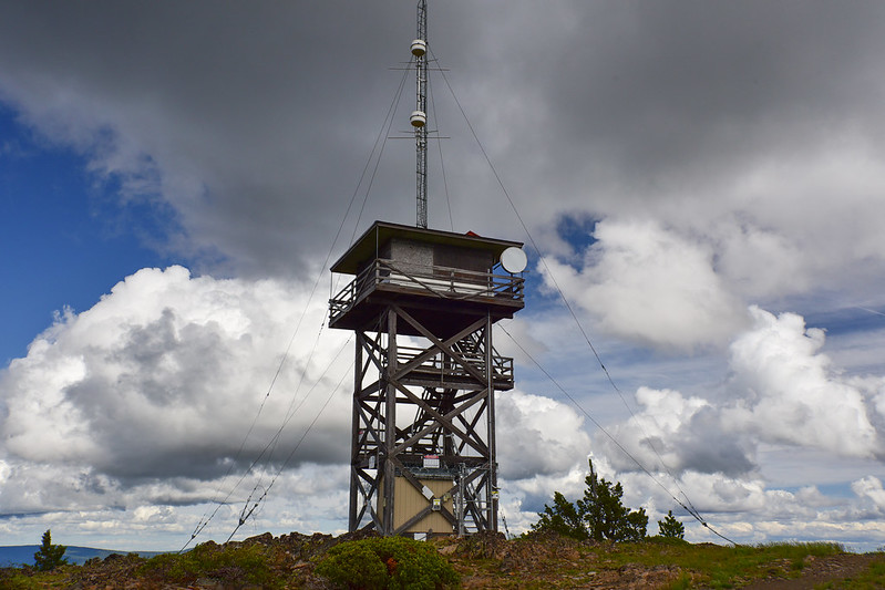
Then I drove to Parker Mountain, where I parked at the gate and walked the last bit of road to the top:
This lookout is staffed in summer but no one was up there yet:

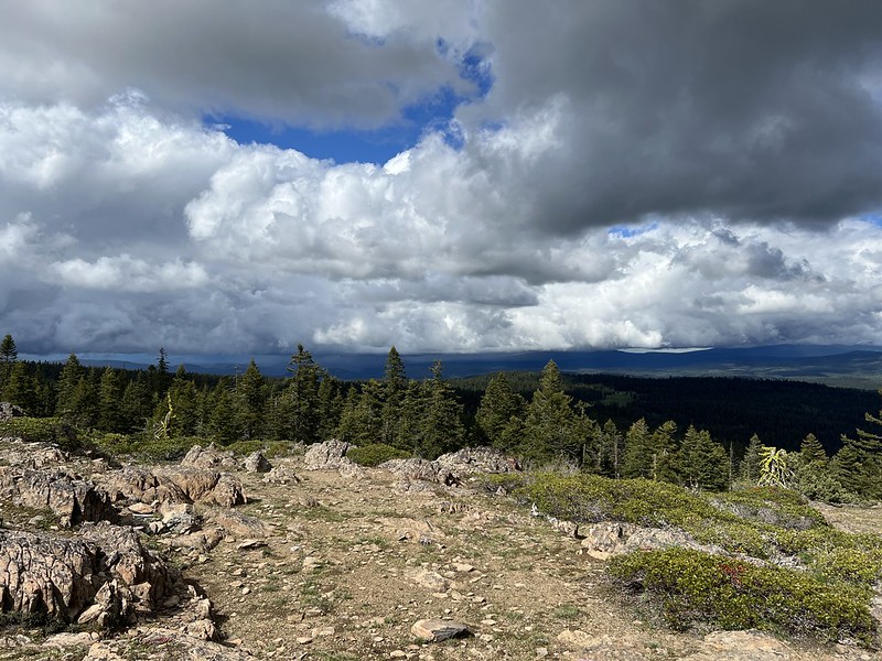
More wind, more clouds, but I still had views:

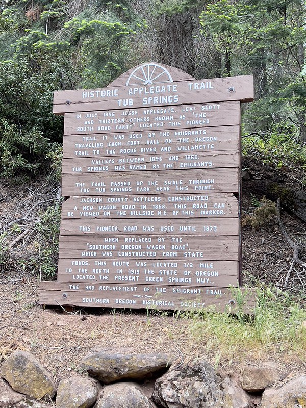
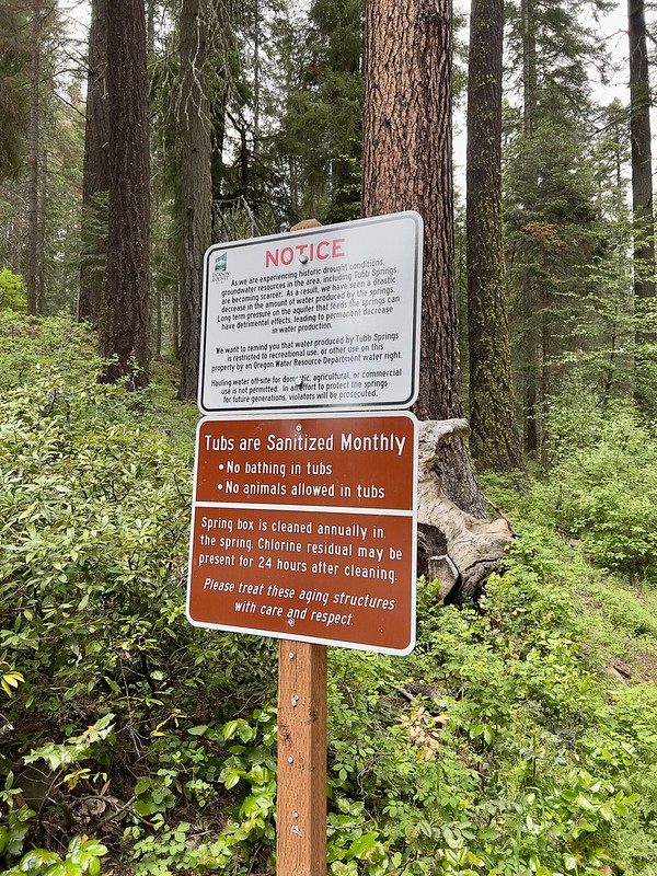
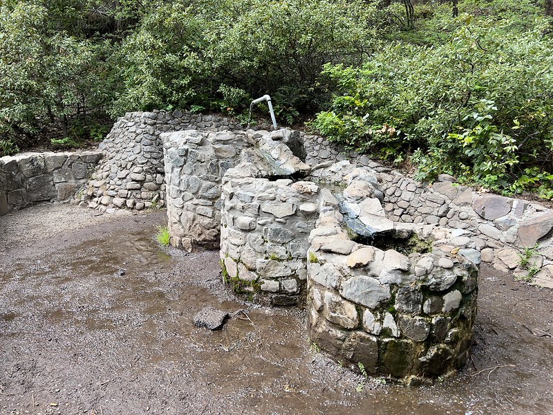
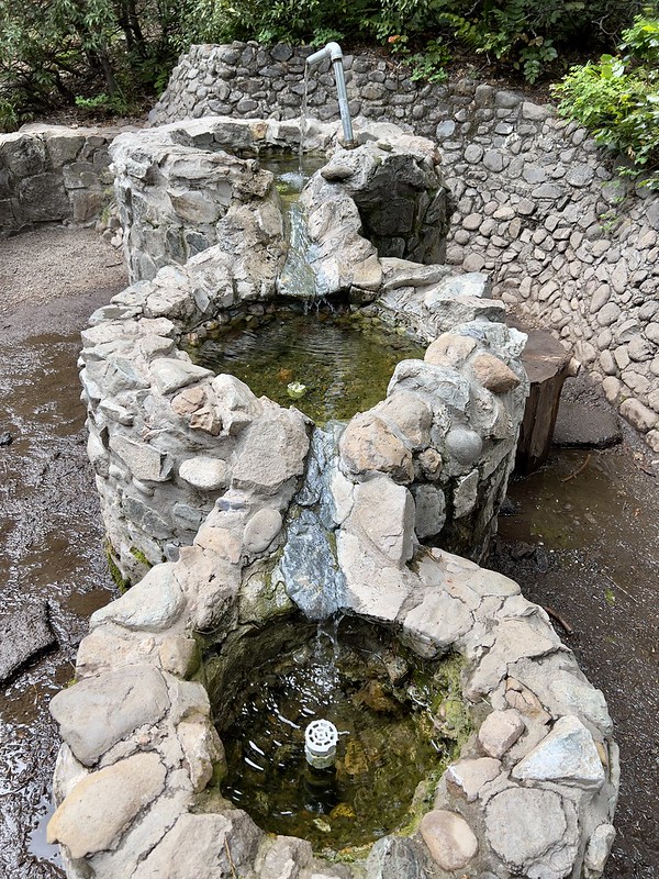
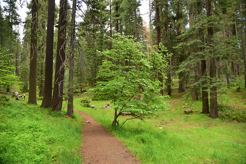
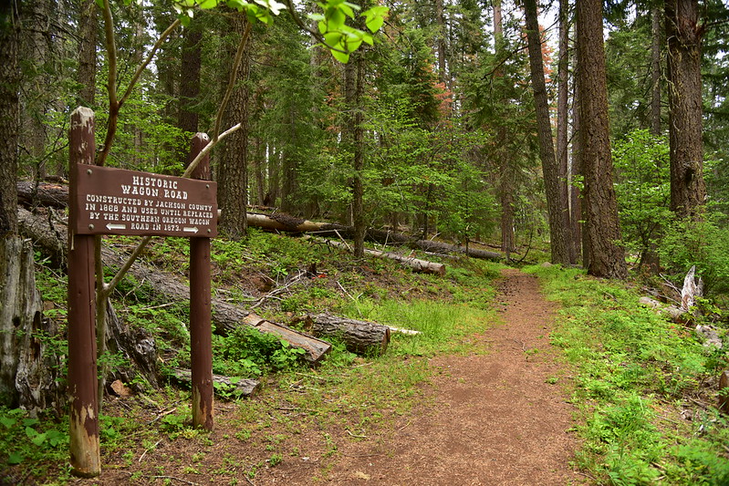
I stopped at Tub Springs State Wayside. The springs here were used by emigrants on the Applegate Trail:
Now anyone can drink the water here:
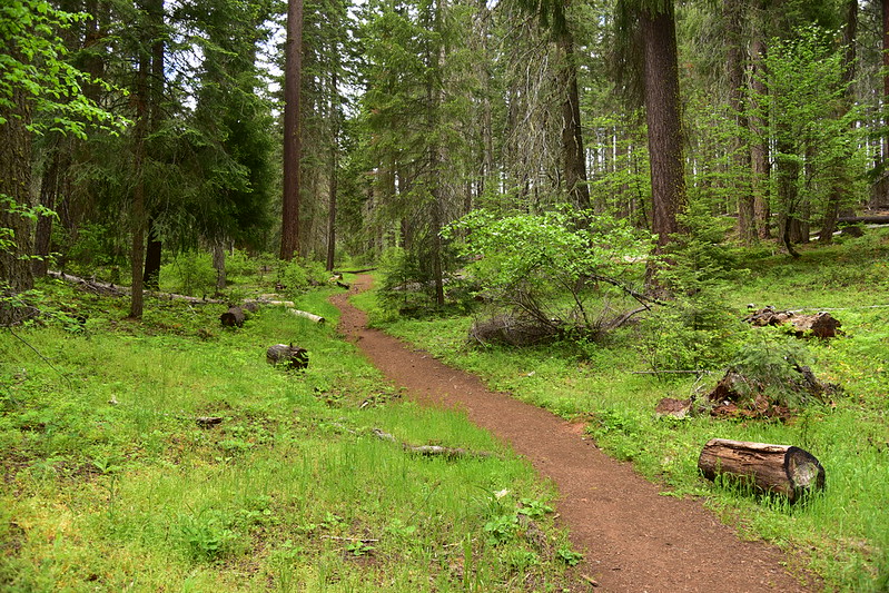
There’s a little trail you can follow that connects with an old segment of the Applegate Trail:
The last stop of the day was Table Mountain, another abandoned fire lookout:

I spent a pleasant evening on my porch before it started raining:

Sunday morning was very rainy so I curled up inside with a book until checkout time:

It rained for much of the drive home. I’m ready for summer weather!


