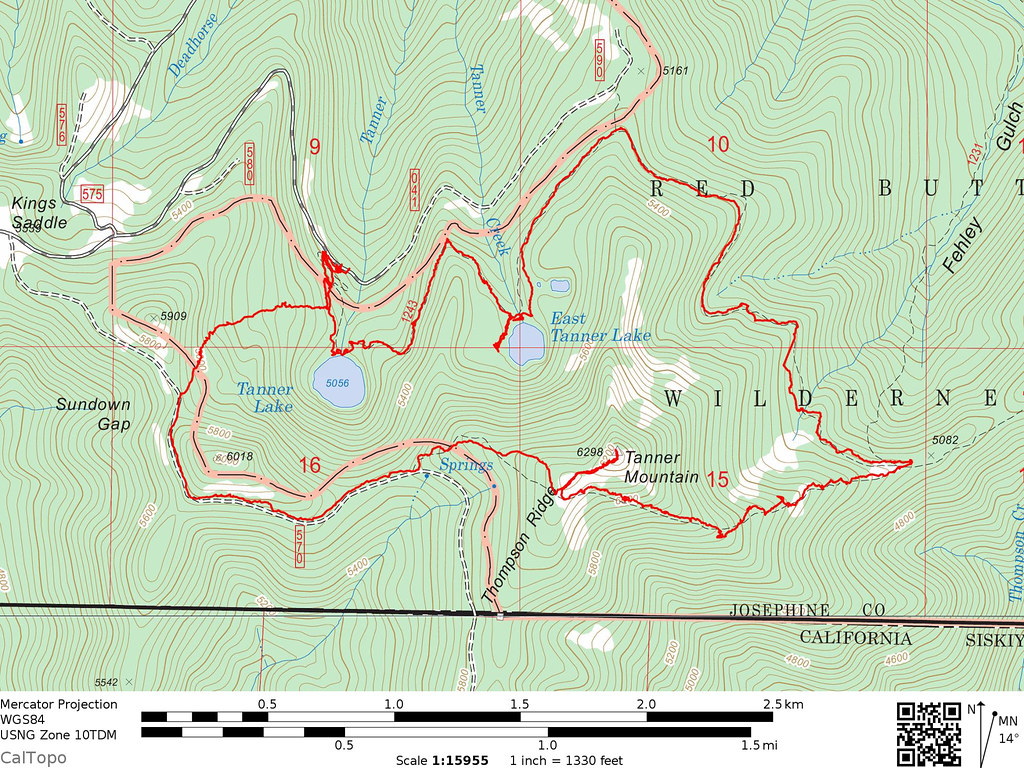
Friday, July 3, 2020
Today we did a loop hike involving both of the Tanner Lakes as well as Tanner Mountain, all of which lie inside the Red Buttes Wilderness.
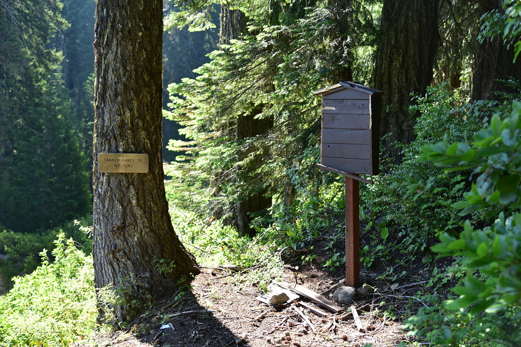
A quick note about the name. The features in this area with the name Tanner were originally given that name, but at some point erroneously became “Tannen”. This mistake was corrected by the U.S. Board on Geographic Names in 2002, but the Forest Service persists in using “Tannen” for some reason. There’s an article about the name saga here.
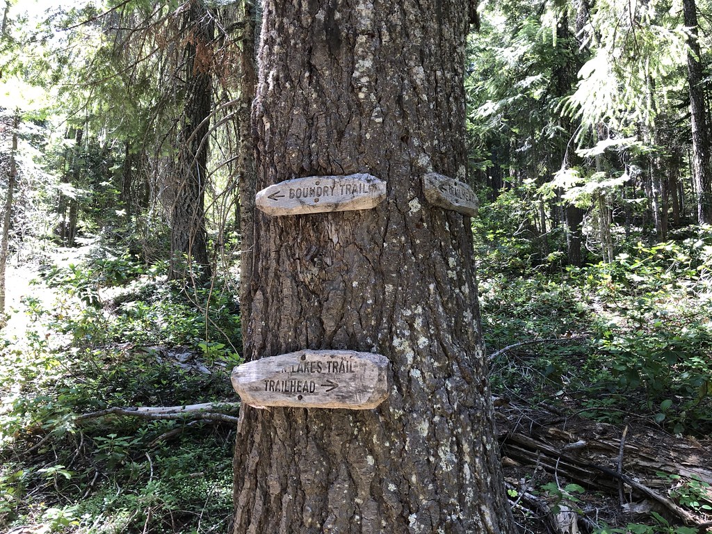
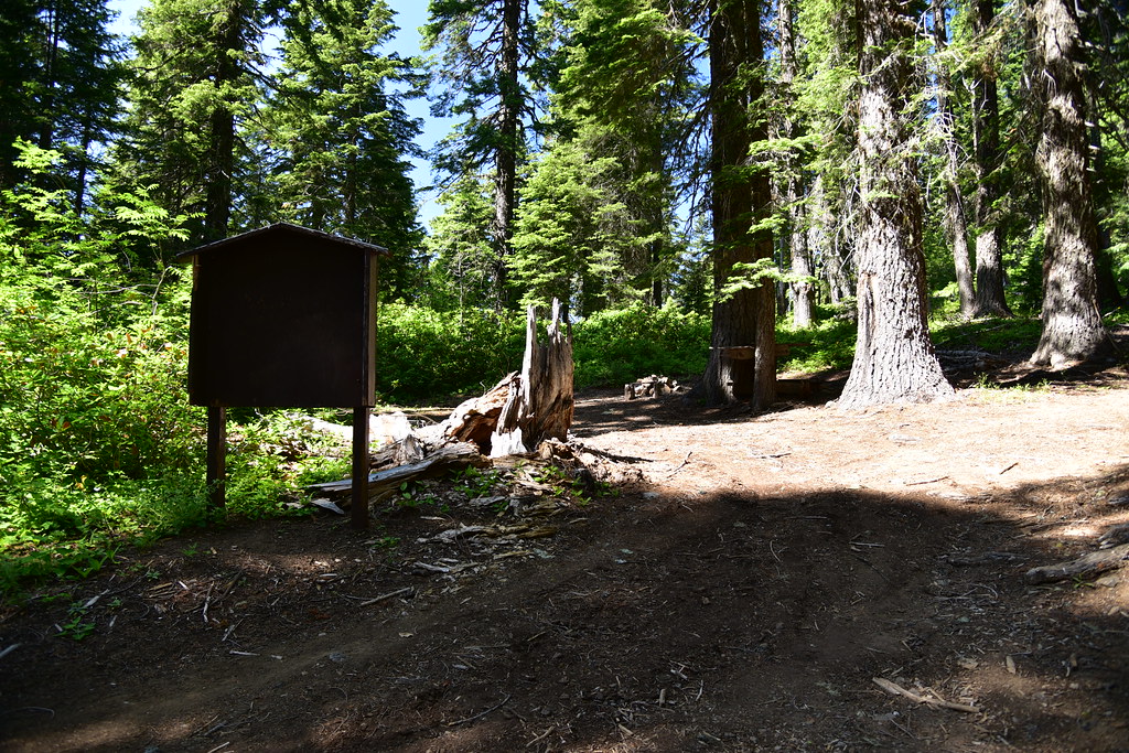
The trail starts at the end of Road 041. A new-looking sign near the beginning of the hike still calls it “Tannen Lakes Trail”.
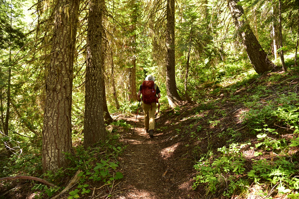
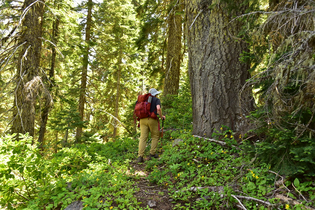
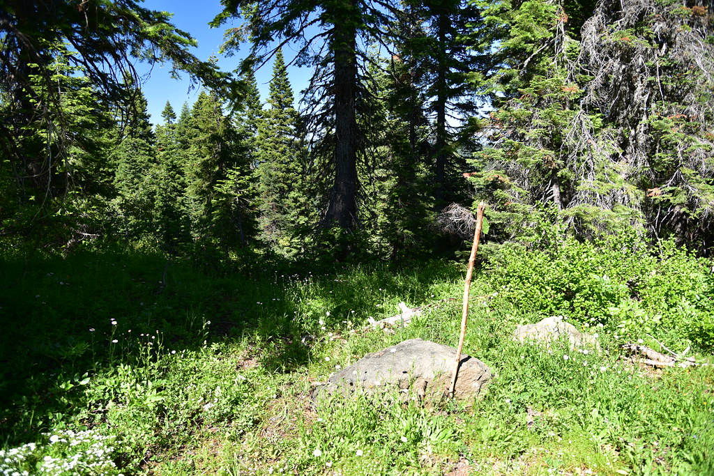
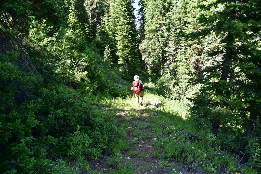
It was a short 0.4 miles of hiking through the forest:
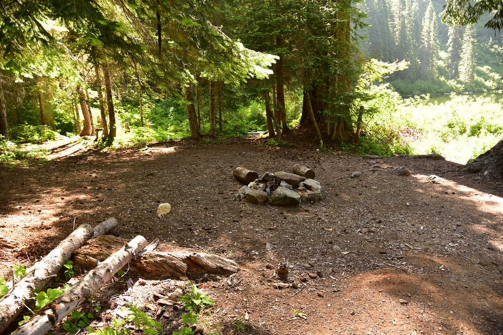
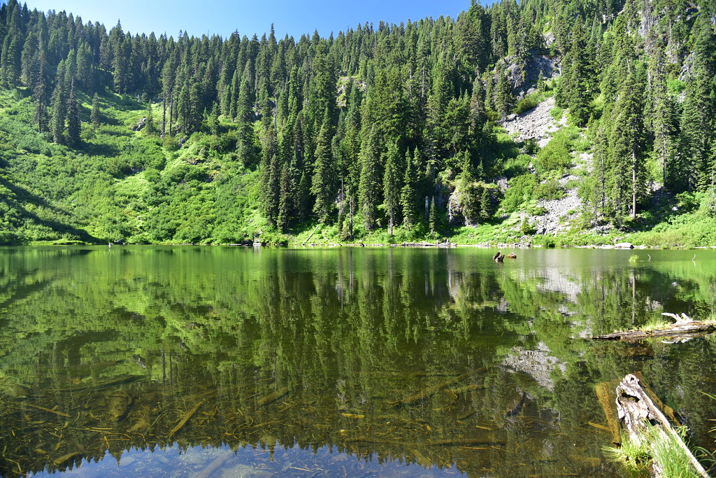
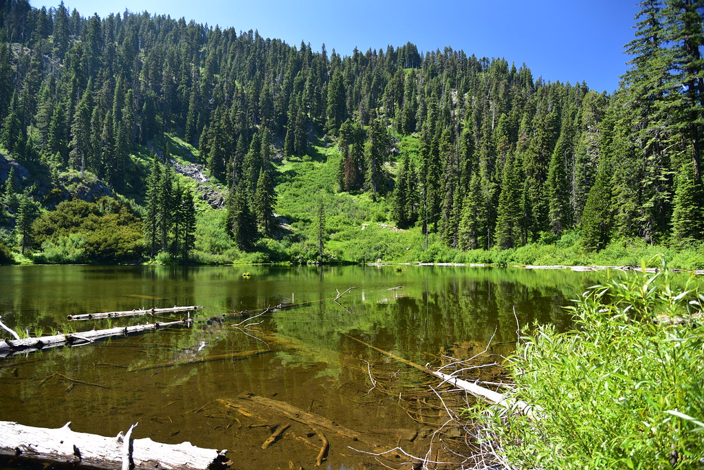
Then we reached Tanner Lake. There’s a campsite right on the trail where it passes by the lake:
Tanner Lake:
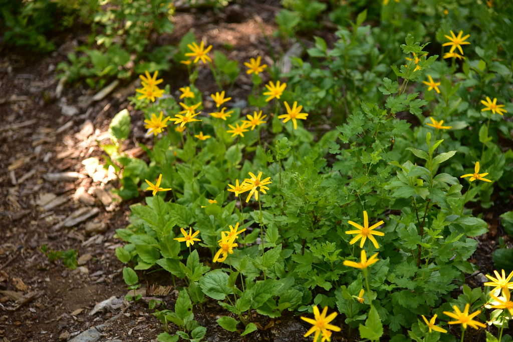
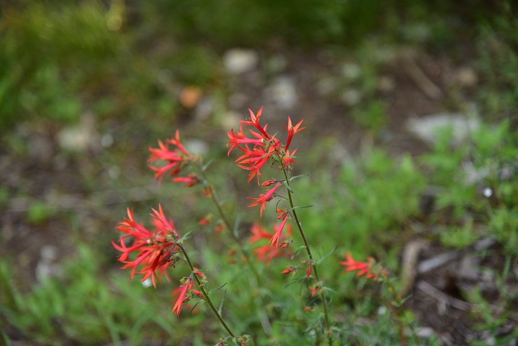
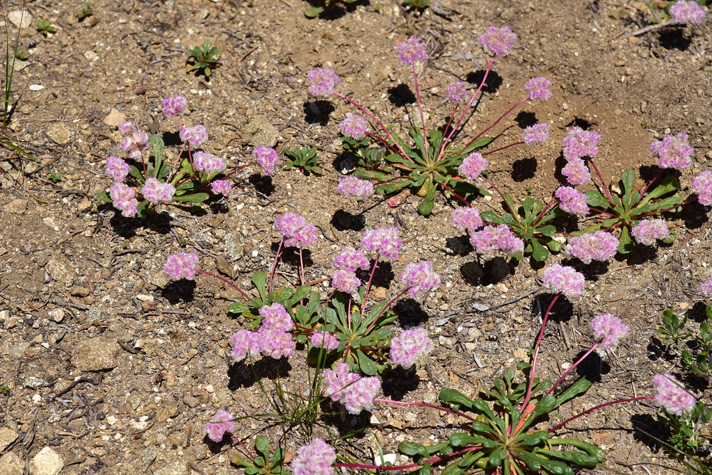
We continued on the trail towards East Tanner Lake, passing some nice wildflowers along the way:

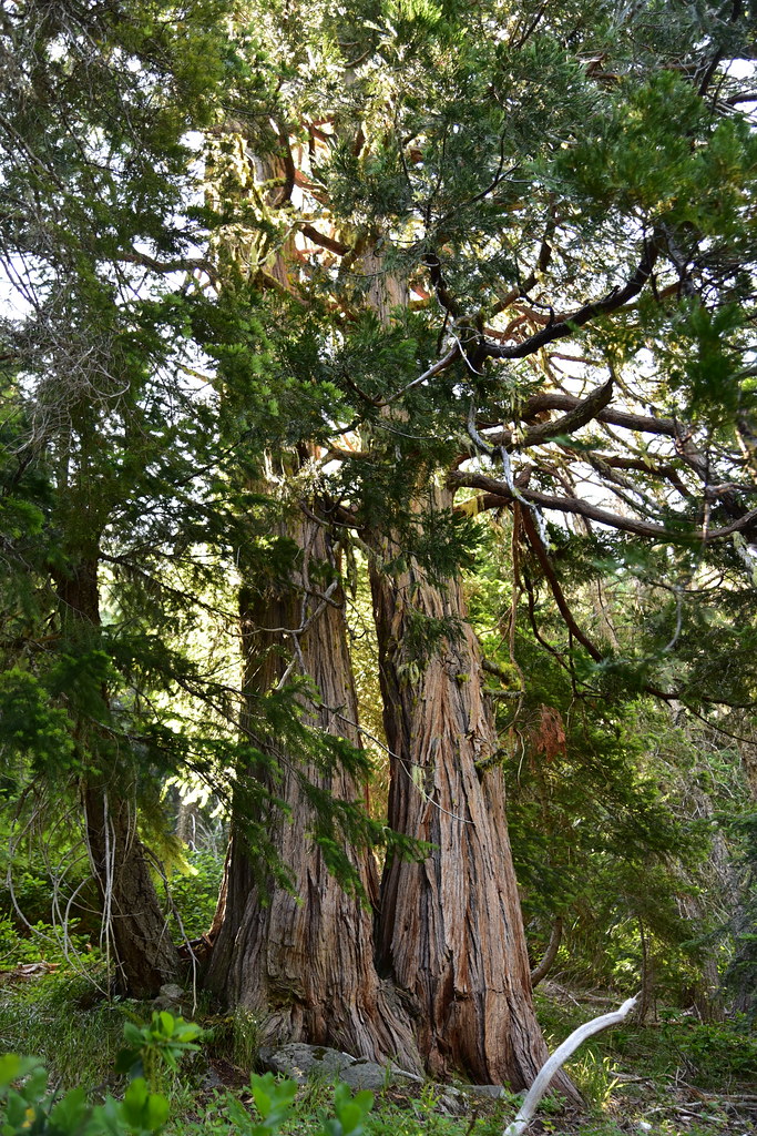
We saw some pretty big trees. These two were uphill of the trail between the two lakes:
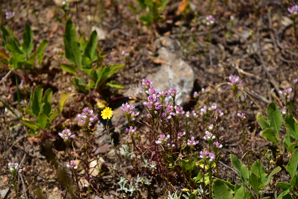
More wildflowers:


Sections of the trail were brushy:

And there was some downfall:

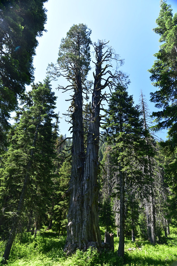
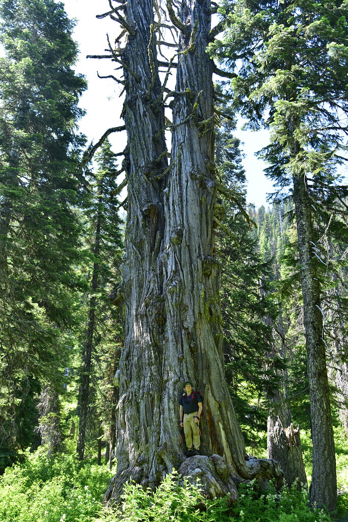
Just before reaching East Tanner Lake at 1.4 miles there is an unmarked side trail heading to the right. Following this brought us to the Tanner Lakes Titan, the second biggest incense cedar in the world:
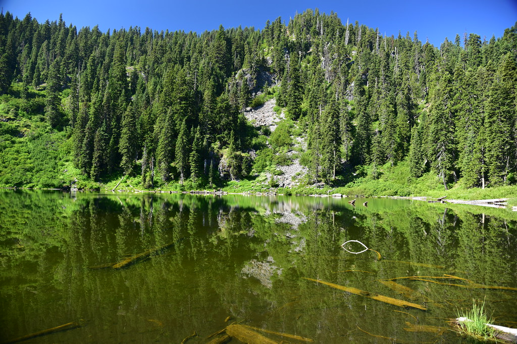
We retraced our steps back to the main trail and found the one opening in the shoreside brush from which to access/view the lake where we took a short break:

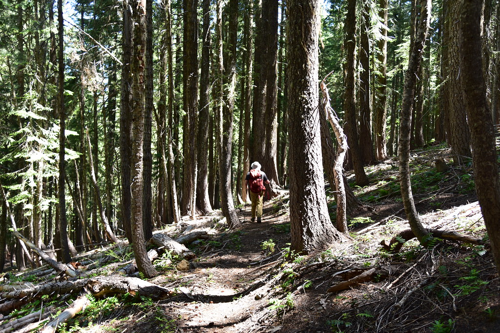
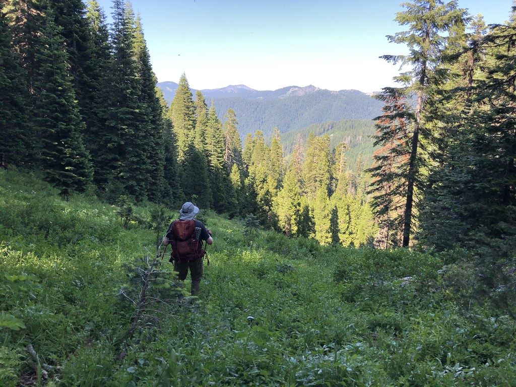
Back into the woods on a gentle grade:
We passed a junction with an old trailhead at 2.2 miles (a short spur trail here leads out to a now-closed portion of Road 041):
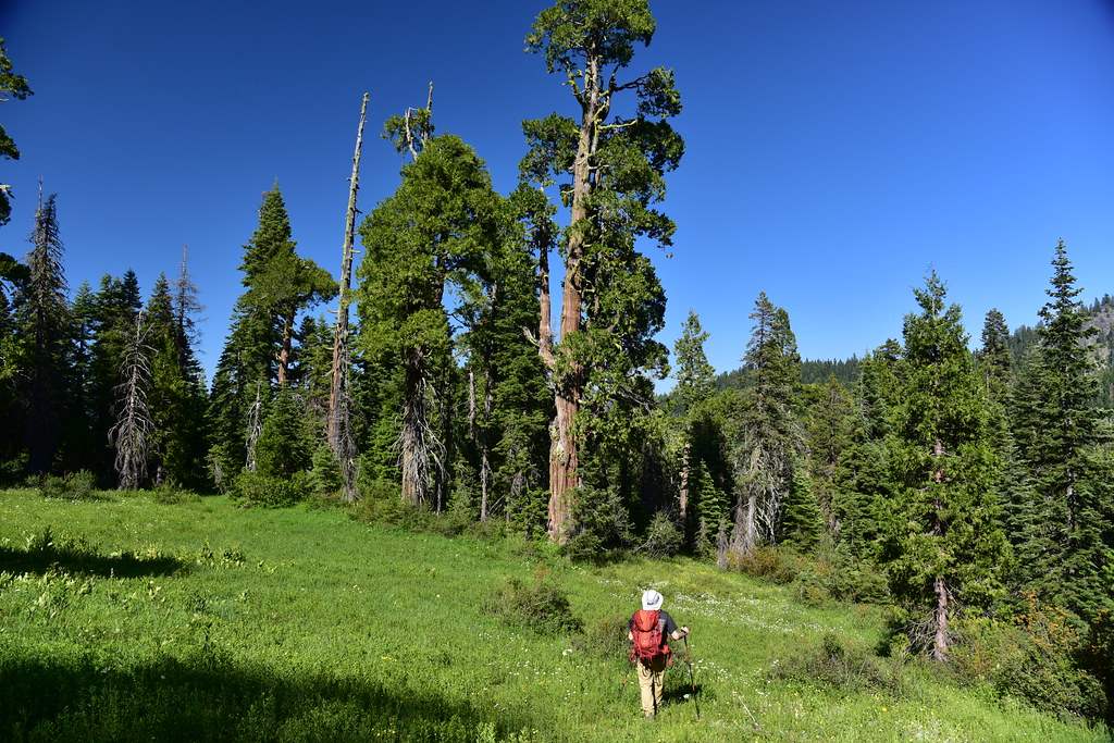
We emerged into an open area:

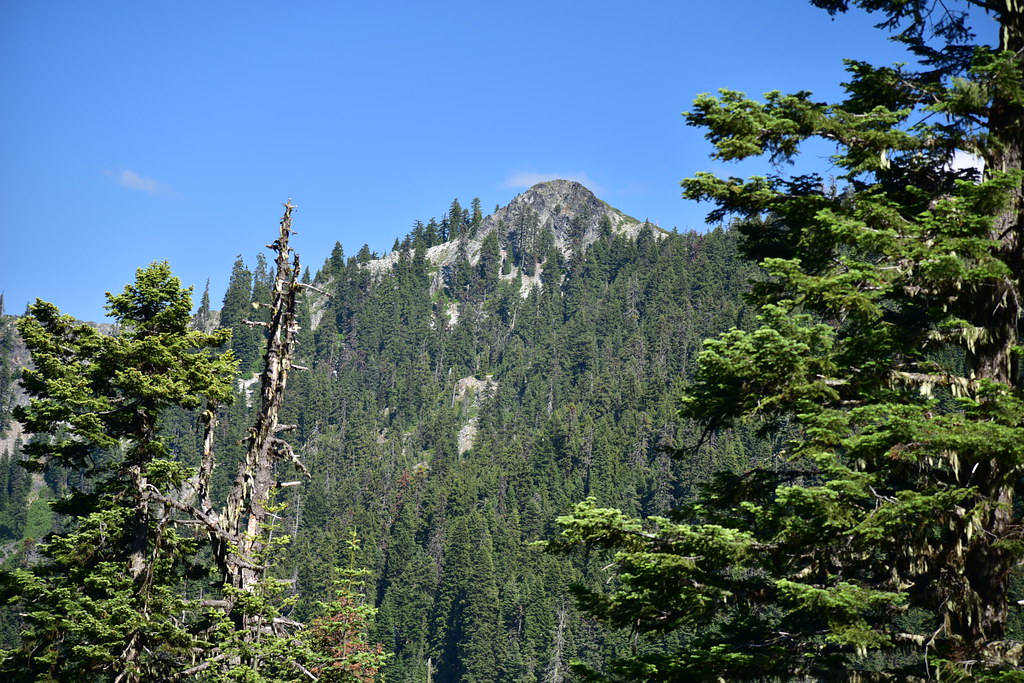
We had a view of Swan Mountain here:
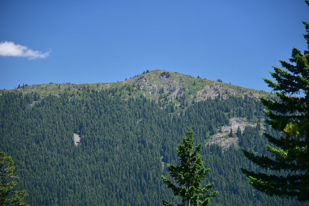

At 3.7 miles we reached a junction were we stayed to the right, then a short distance later reached another junction where we turned right onto the Boundary Trail. We had not gained much elevation up to this point but now we began climbing steeply:
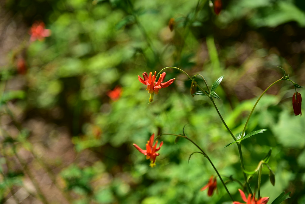
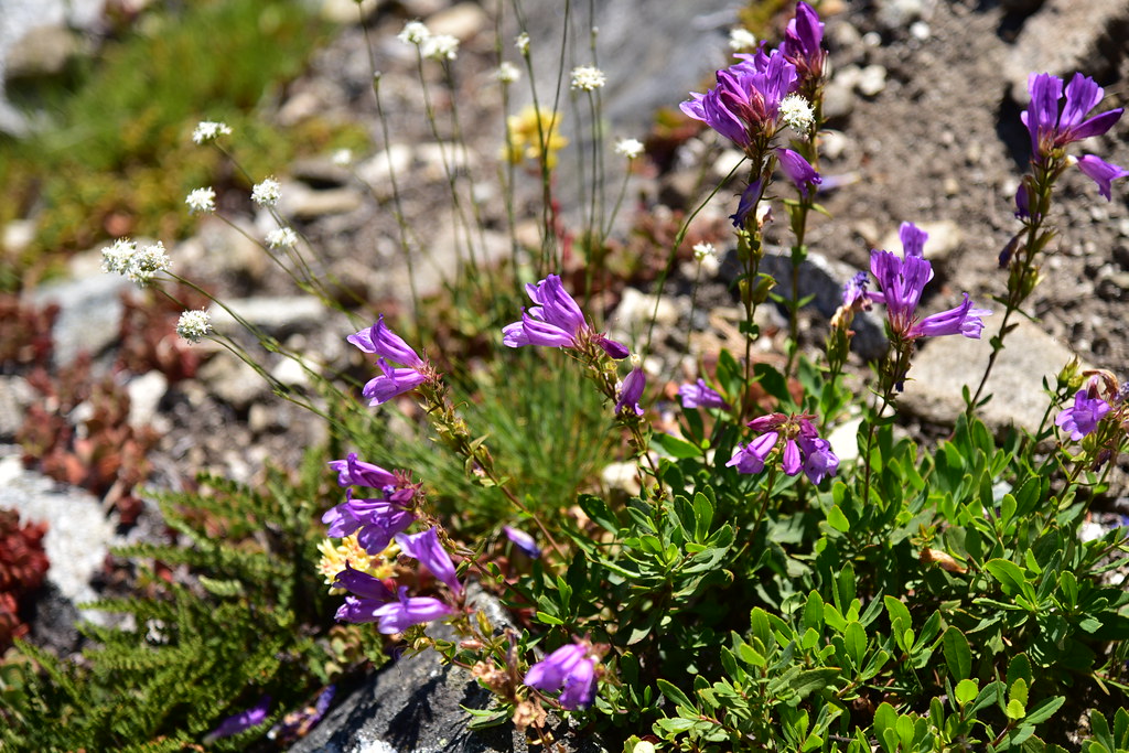
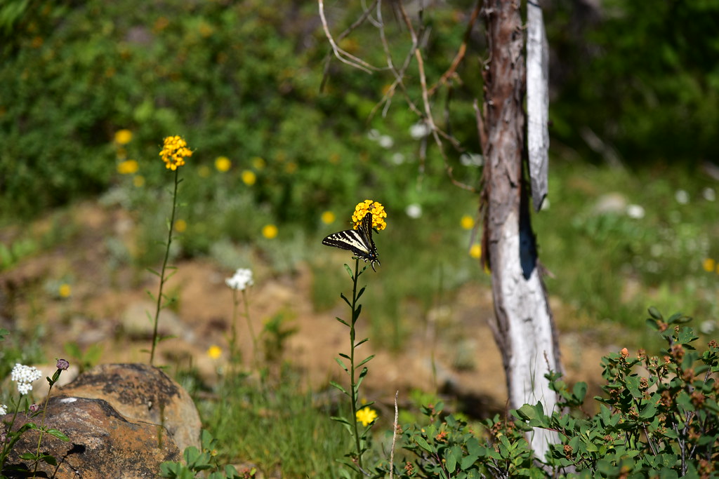
We saw some great wildflowers on this stretch:


The afternoon was getting warm but fortunately much of this section was shaded. Notice the big tree in the shot below. We passed quite a few big trees on this hike:
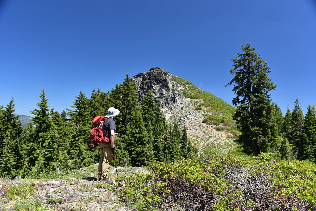
We reached the crest of Thompson Ridge and turned right to head off-trail:

There were TONS of pussy paws blooming here:
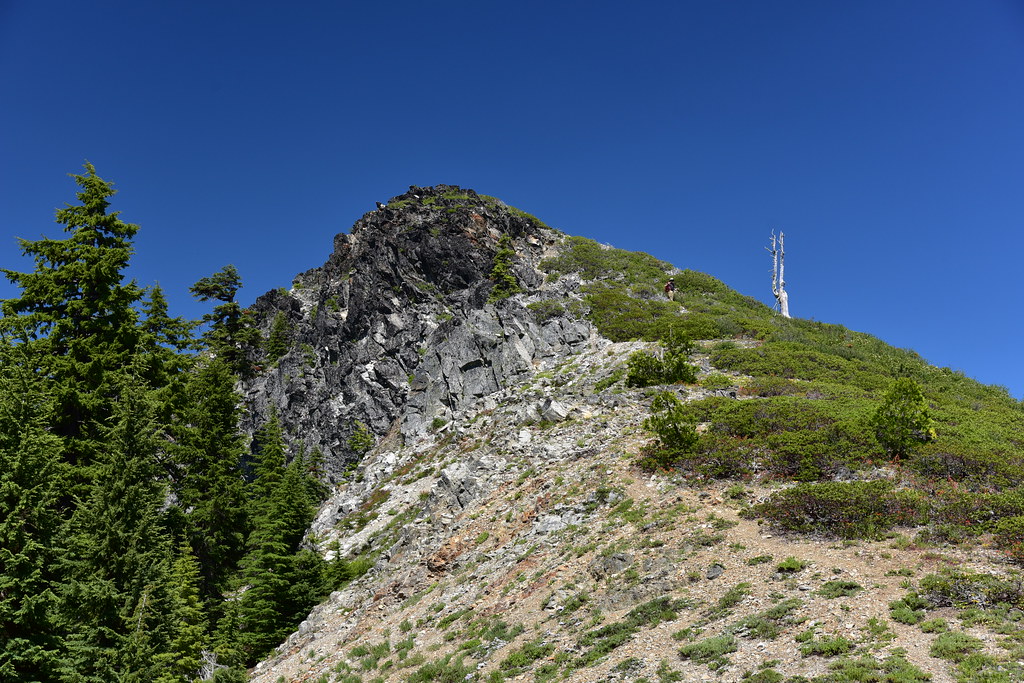
Our goal was in sign. Tanner Mountain:
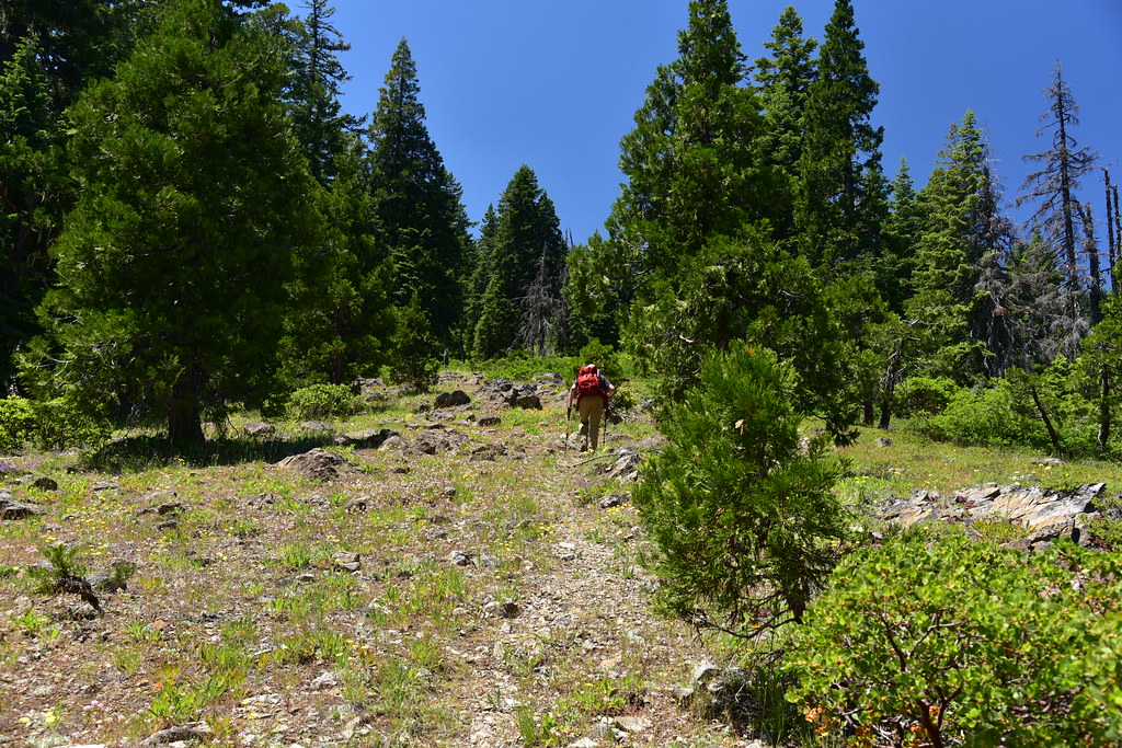
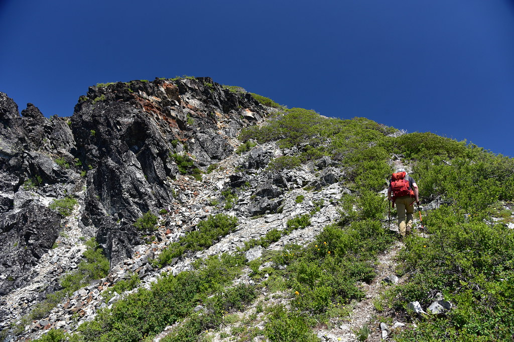
We hiked up the steep user trail to the summit:

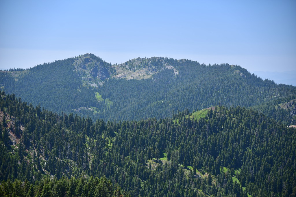
Wow, the views were great! Looking northeast:
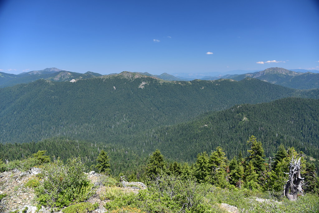
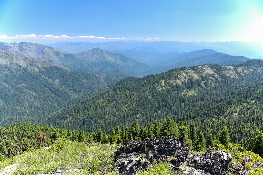
Looking southwest:

Looking south over the drainage of Thompson Creek:
The shot below is just to the right of the photo above:

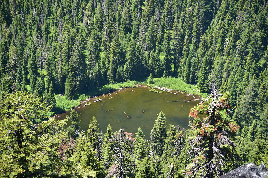
Looking down on East Tanner Lake to the northeast:

An underexposed shot looking southeast:
A close-up of the Red Buttes:

We could see the Bolan Mountain Lookout where we’re staying:

There was haze on the horizon, and we figured there was a wildfire in California. Turns out it was actually wildfire smoke from Siberia:

We sat on the summit for over an hour enjoying the views:


Then it was time to continue our loop. Here is Greg descending:
Back on the Boundary Trail:

Then we reached the Boundary Trailhead on Road 570 at 5.8 miles:
From here it was about a mile of road hiking:

At Sundown Gap we left the road at some rocks:
And descended on an old roadbed:

Then we reached a meadow where we began a long descent:
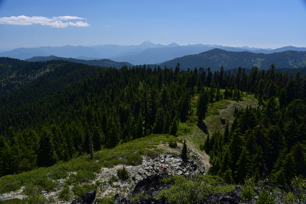
From here we got a view of Tanner Mountain where we’d been an hour earlier:
Descending through the meadow:

We connected back up with the trail and turned left for the short return back to the trailhead. The off-trail section wasn’t bad, but I was glad we had a GPS to guide us.
Back at Bolan Mountain later here is our view of Tanner Mountain:

Gaia stats: 7.6 miles, 1,600′ elevation gain