Sunday, November 25, 2018
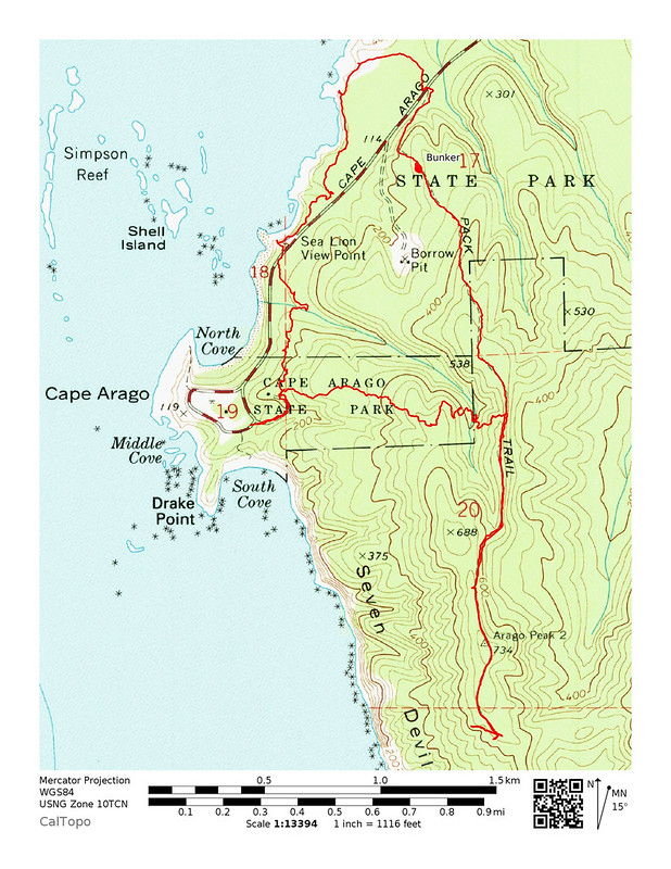
Today we did a hike in Cape Arago State Park. We started at a locked gate at the day use area and hiked past a “pack trail” sign.

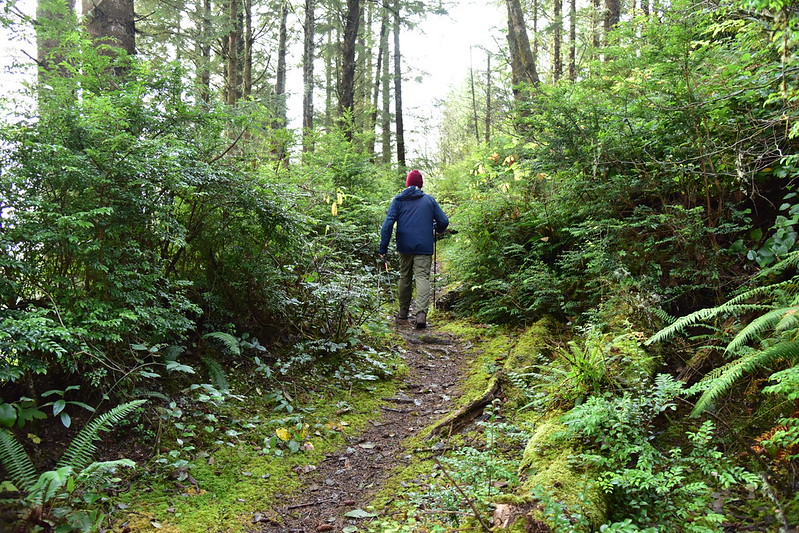
At first we were on a road:
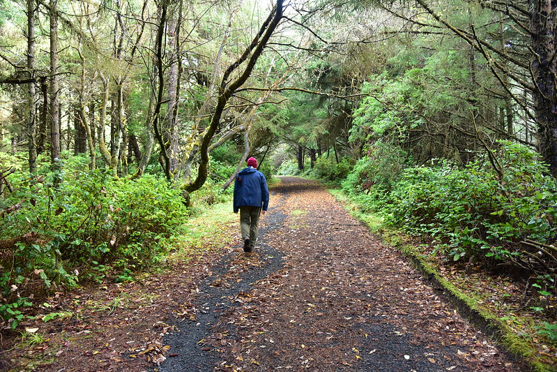
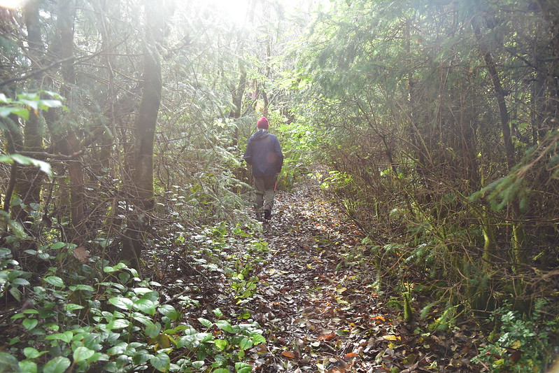
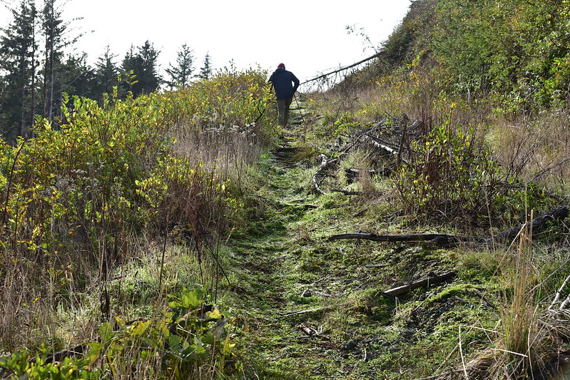
Then we were on a trail:
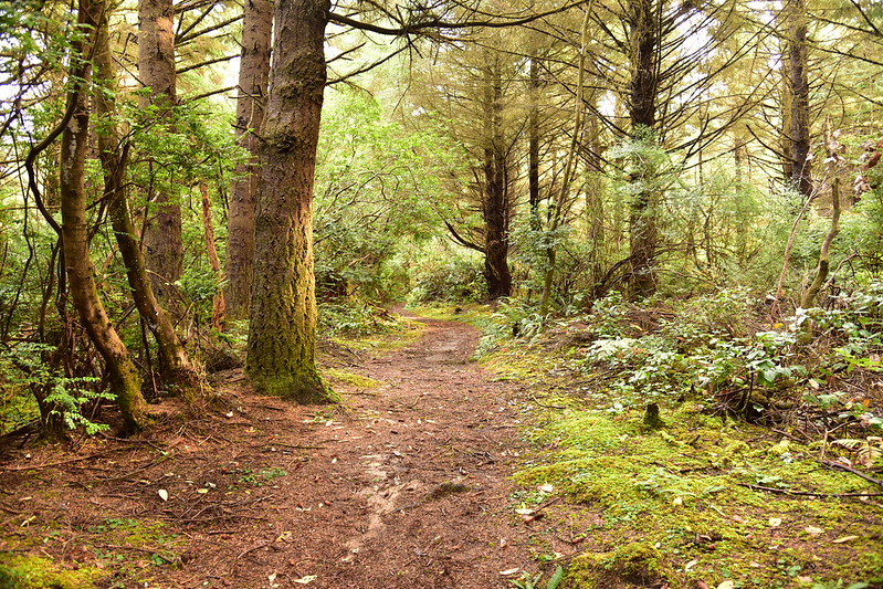
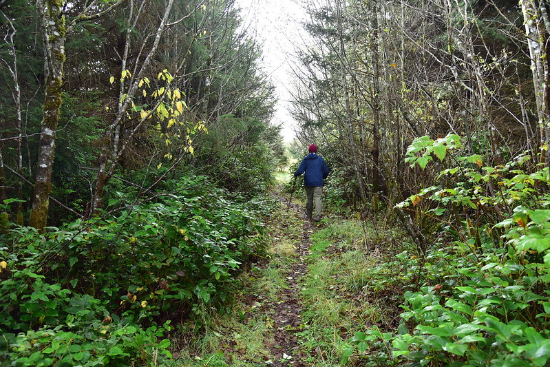
After about a mile we reached a signless T-junction. We saw a feature on the map to our right called Arago Peak so we decided to see what we could see. We were now on an old road that was brushy in spots:
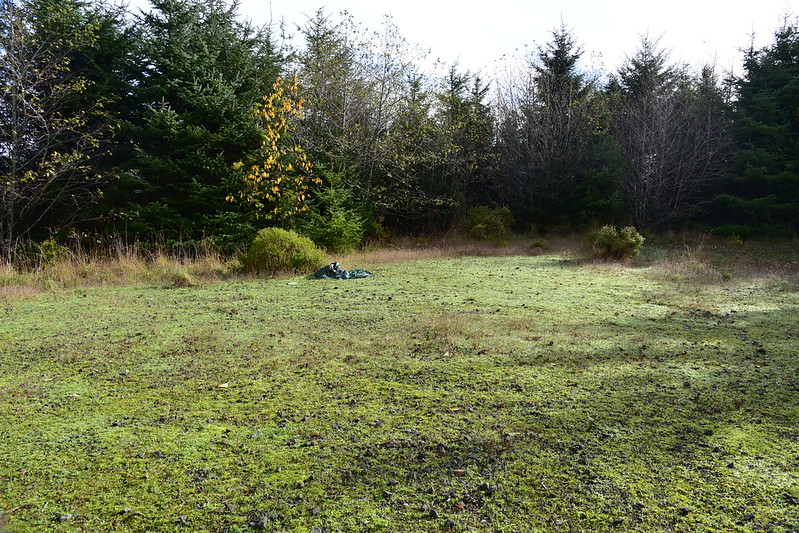
We reached a big grassy area, stayed to the right, and kept going:
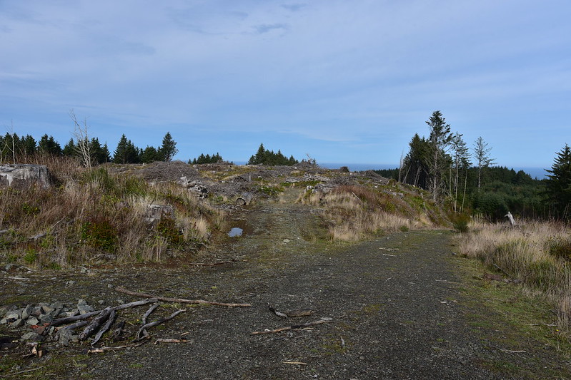
Now we were in an old clearcut:
We topped out in an open area in the clearcut:
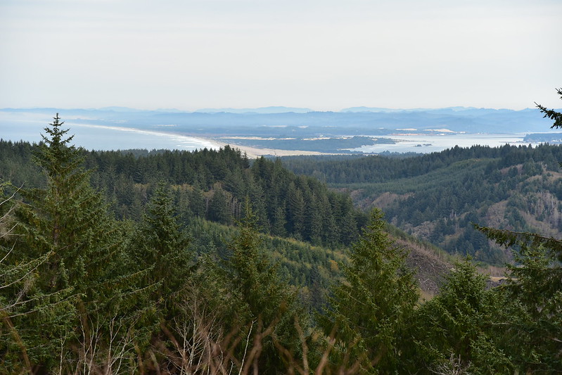
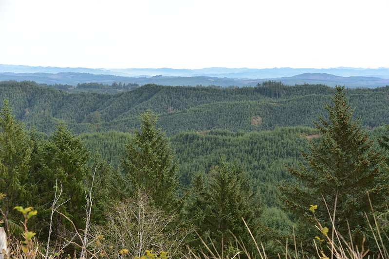
From here there was a limited view of the area surrounding Coos Bay:
And some of the mountains to the east:
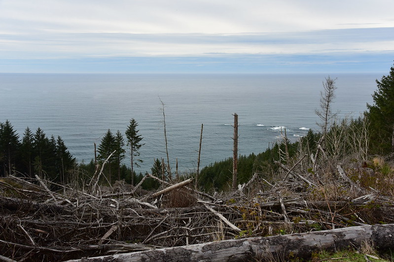
We could see a bit of ocean to the west:
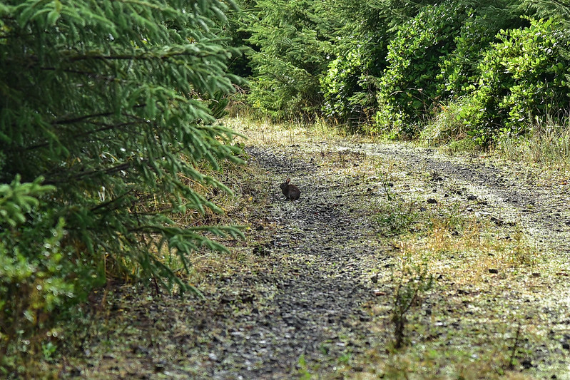
According to the map Arago Peak was further along the road, so we kept going. From this point the road is in really great shape. It’s timber company land and they drive up from the Seven Devils Road to the east. We spotted this cute rabbit ahead of us:
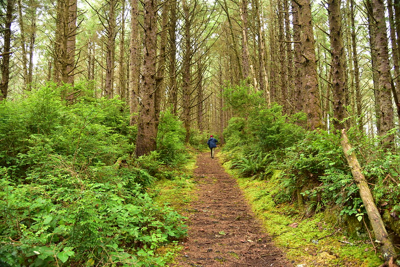
It turns out there really isn’t much of a peak. We walked past the spot on the map and realized that was it. Not prominence, no marker, no view. So we turned around and went back to the T-junction and continued straight to finish our loop, still following old road:
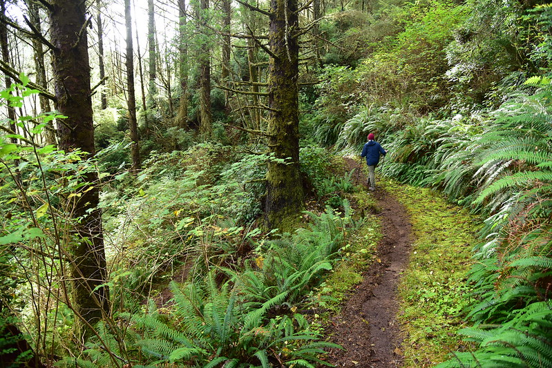
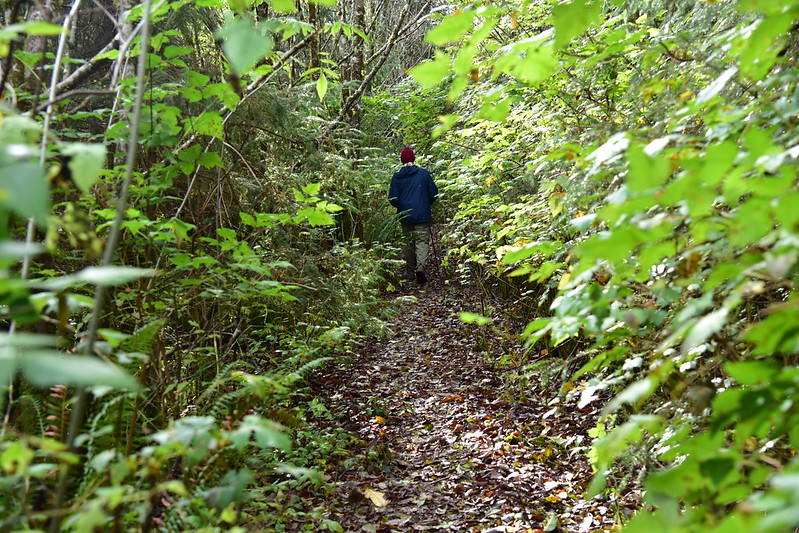
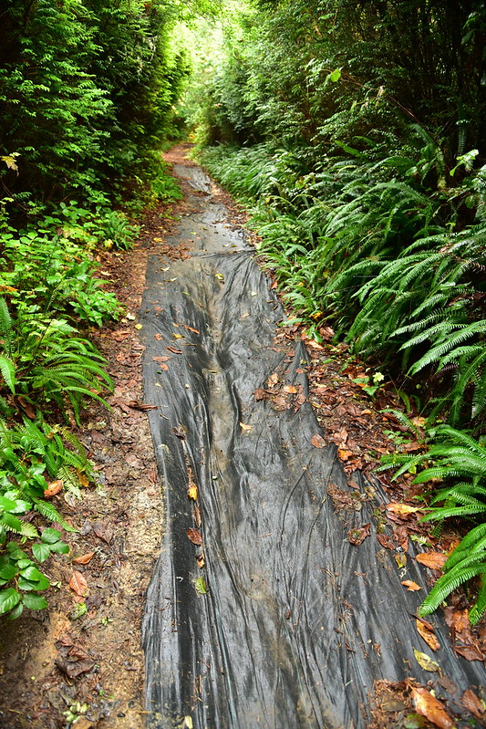
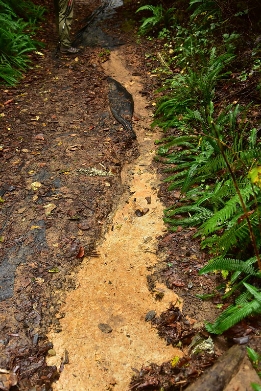
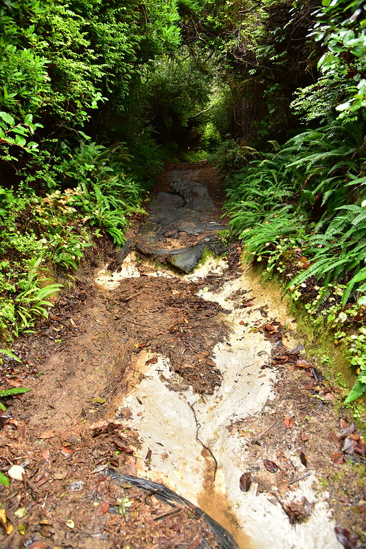
The trail was in REALLY bad shape in spots. It appeared as though Friday’s downpour had washed away a lot of soil:
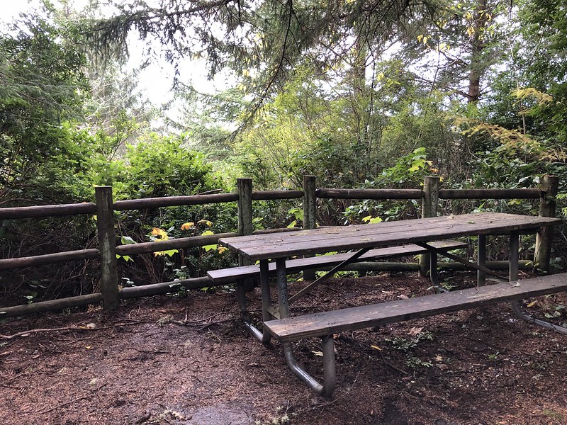
We passed this picnic table which hasn’t had a view in a very long time:
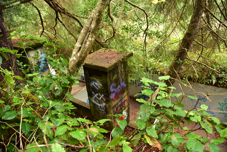
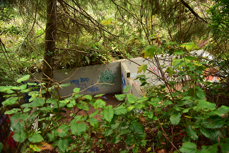
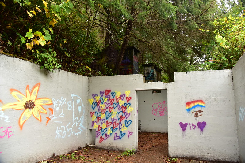
We also passed the concrete remains of this old WWII bunker. We were dismayed to see the all the vandalism and graffiti here:
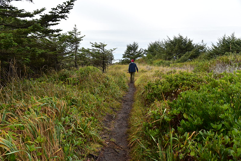
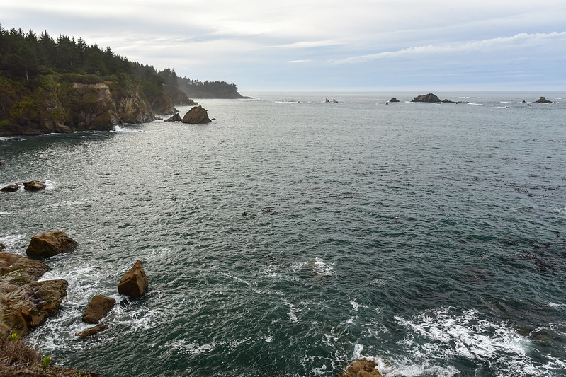
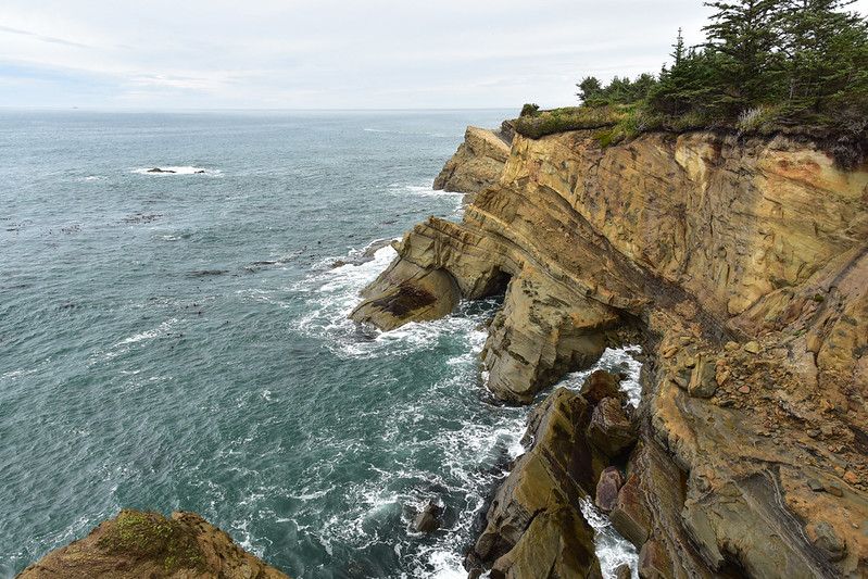
We continued following the old road down to the Cape Arago Highway which we crossed. The trail took us through the trees and then to some ocean views:
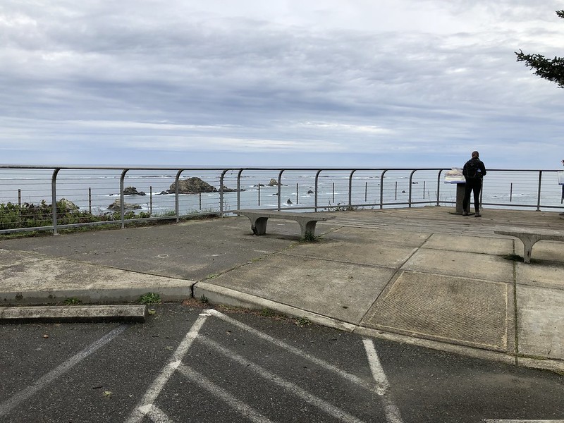
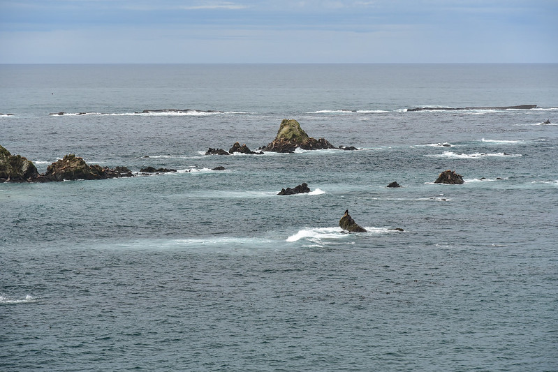
We reached the roadside Sea Lion Viewpoint / Simpson Reef Viewpoint:
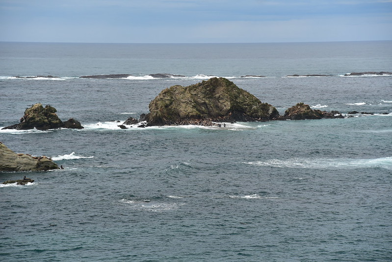
We could see and hear the sea lions on the rocks out there. I was glad I had my binoculars. We even saw sea otters frolicking in the ocean! My camera’s zoom lens wasn’t long enough to get a shot of them, but it was cool:
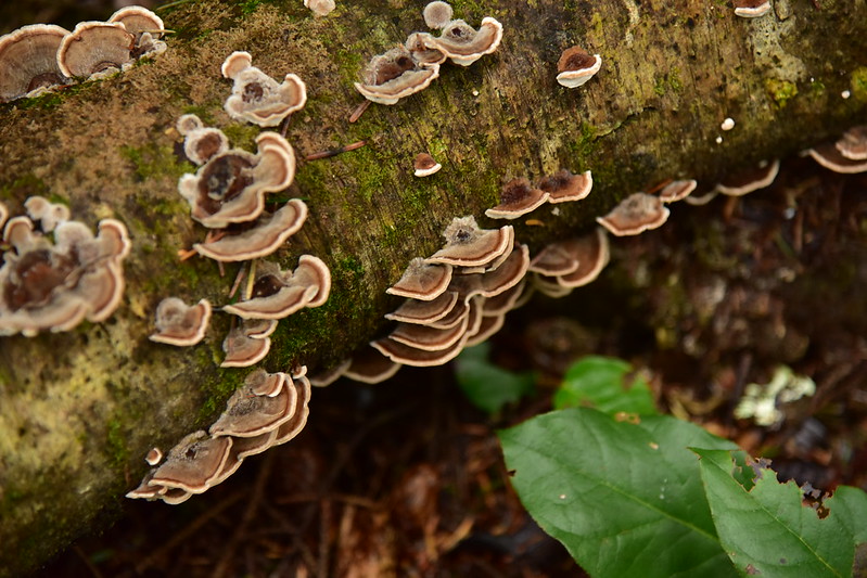
We crossed the highway for the last bit back to the car, and spotted these cool fungi along the way:
Nice hike! 6 miles, 870′ elevation gain.