May 31, 2014
The loop through the Rock Lakes Basin has long been on my to-do list and Greg and I decided to give it a try this weekend, even though it’s a tad early.
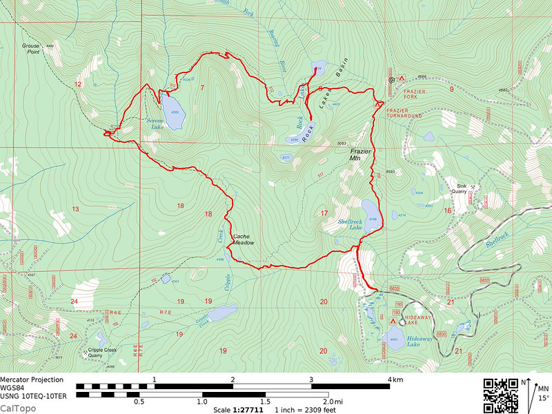
Serene Lake
I had heard nothing but bad things about the road to Frazier Turnaround. I remember seeing one post here where it took someone more than 40 minutes to drive the final 4.4 miles to that trailhead, and Bill Sullivan calls it a “rocky, slow track.” Not a road, a track. No thanks. So we parked at Hideaway Lake instead, even though that meant adding additional mileage to our hike.
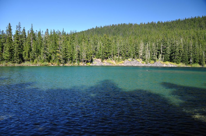
Just after passing the wilderness sign are two old signposts on the left. We knew there was an old abandoned route from here up to Cache Meadow and we decided to try it on our way back.
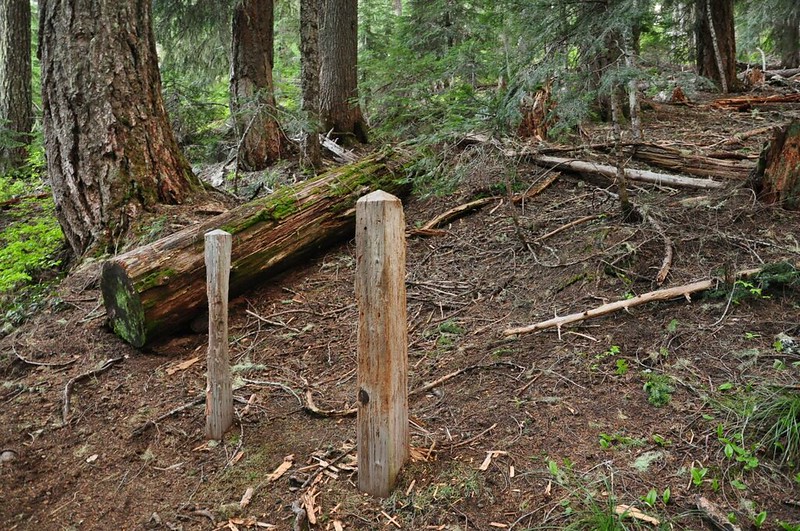
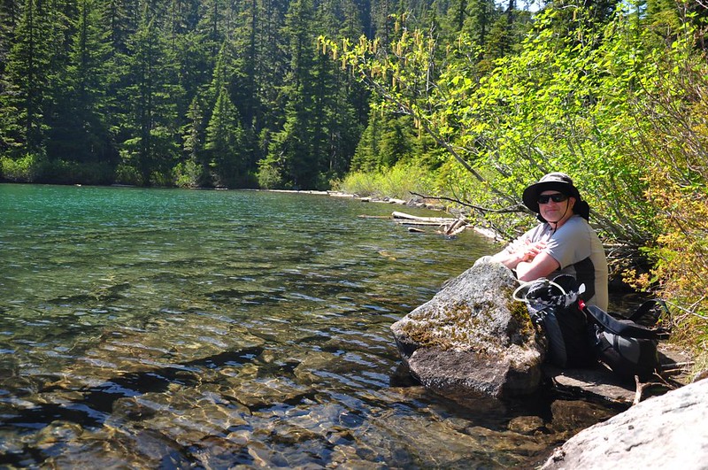
Just half a mile from the trailhead is lovely Shellrock Lake. Looks like a great spot for a swim on a hot day!
The snow had only recently melted here and it felt like we had stepped back in time a few months when we started seeing trilliums blooming everywhere. Then we stopped noticing the trilliums because the trail turned miserable. Very rocky and very rooty. Sometimes it was so bad that there wasn’t even a discernible trail.
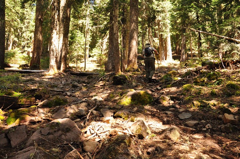
We encountered our first patch of snow at 4,600 feet and continued to encounter vast swaths of it until we got to Frazier Turnaround.

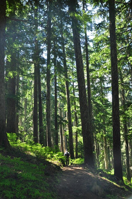
The trail joins up with the Grouse Point Trail, which we followed a short distance down to Frazier Turnaround (deserted) and picked up the Serene Lake Trail. Some nice forest hiking ensued.
We reached the junction where a side trail heads off toward Middle Rock Lake and headed down it.
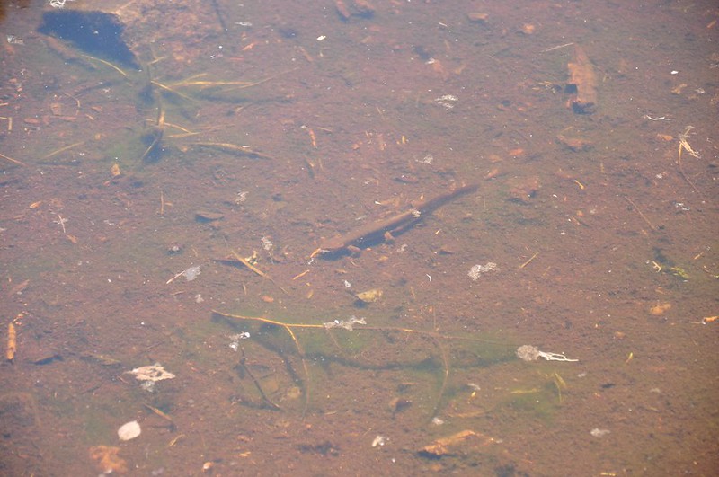
A newt!
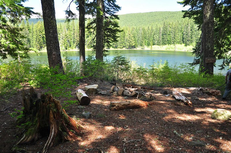
The shoreline was too brushy to eat lakeside, so we ate our snacks in the nearby campsite before moving on. Next up was Lower Rock Lake, where there’s a delightful campsite and a pleasant lake.
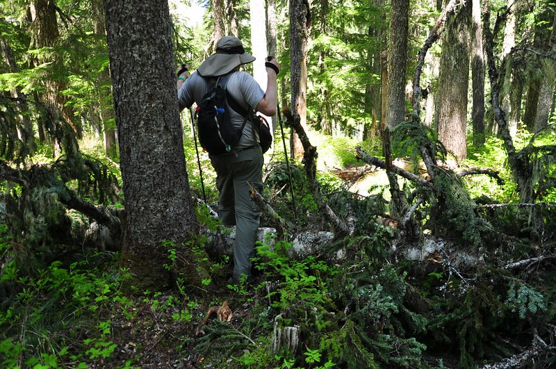
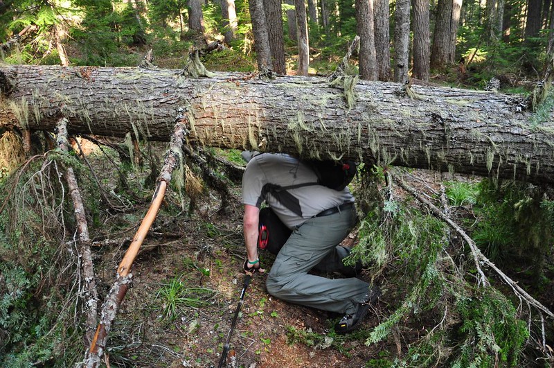
Then there’s a two-mile stretch to the next lake. We built up our trail karma by moving MANY branches, big and small, off of the trail. Trekking poles really help with this task! Some things were too big for us to move, though! We climbed over or under at least two dozen fallen trees on this hike.
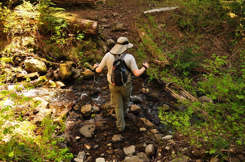
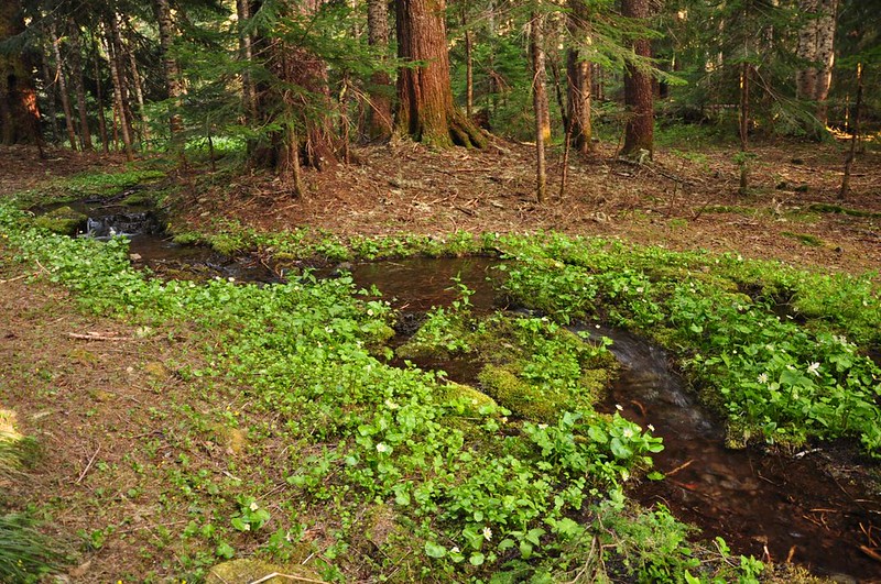
We crossed the South Fork of the Roaring River. It’s no more than a stream here.
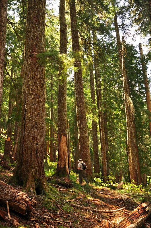
More lovely forest.
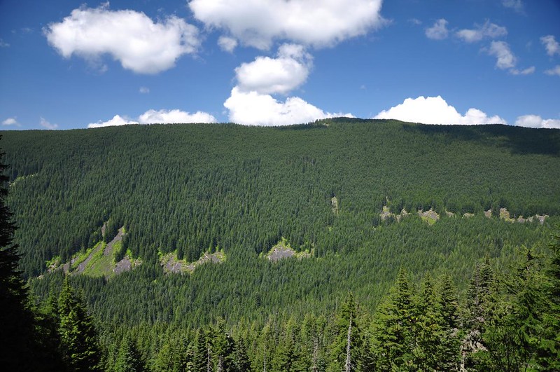
At one point we got a view across the Roaring River canyon to Indian Ridge. There used to be a lookout up there (off frame to the left) and you can hike down the old closed lookout road along that ridge to Shining Lake, just below the old lookout site.
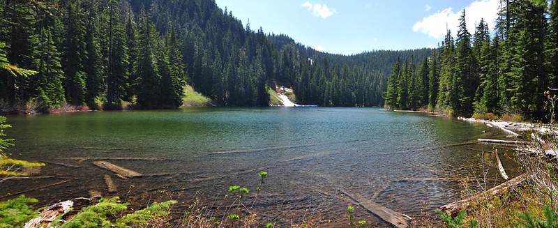
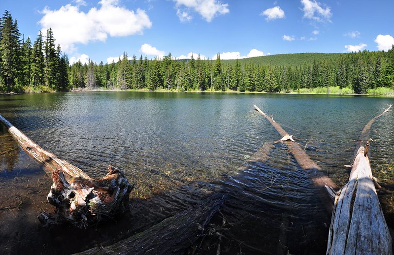
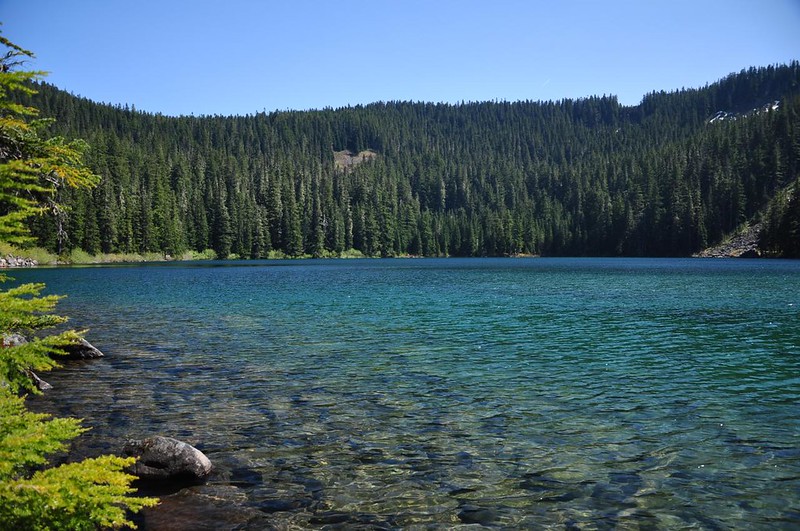
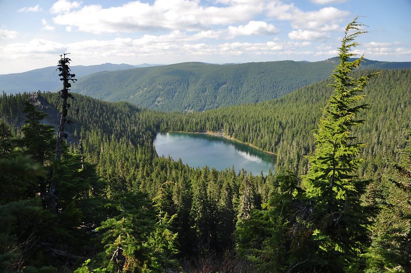
Serene Lake definitely lives up to its name. There was a couple camped here but it was very quite and peaceful here. We sat and enjoyed the ambience for quite awhile.

With many more miles to go we finally tore ourselves away and continued on, climbing up away from the lake and picking up the Grouse Point Trail, which eventually brought us to a nice viewpoint of Mt. Hood and Serene Lake. Apparently you can see the Washington peaks from here on a clear day, but as it was we could barely see Hood through the clouds.

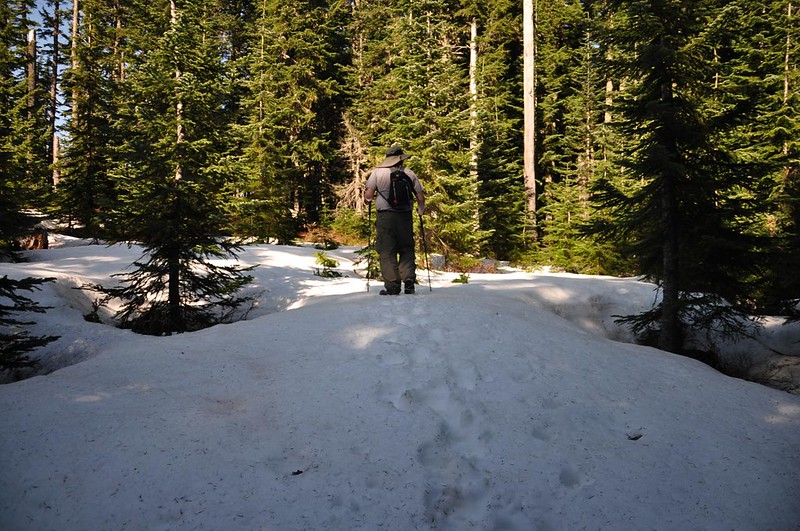
More snow. This picture was taken up near the viewpoint, but there were also large amounts of snow on the descent down to Cache Meadow.
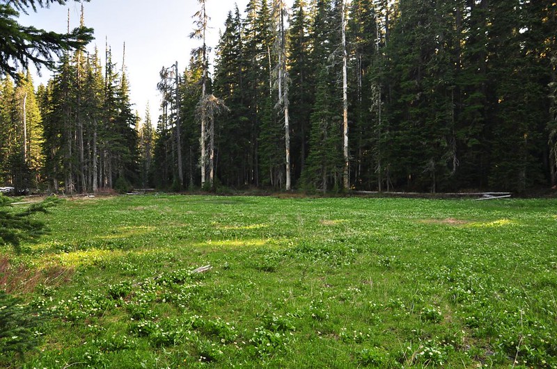
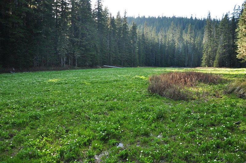
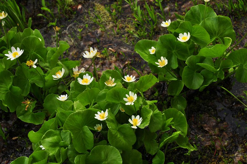
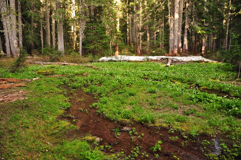
Cache Meadow turned out to be a wonderful little place. And it stretches for quite aways along the trail. It’s really a series of several linked meadows. I don’t know if the mosquitoes have come and gone or if they have yet to make an appearance. In any case we didn’t encounter any here, in what is surely a horribly buggy place during the wrong time of year. We saw thousands of marsh marigold along with mountain shooting star and marsh cinquefoil.
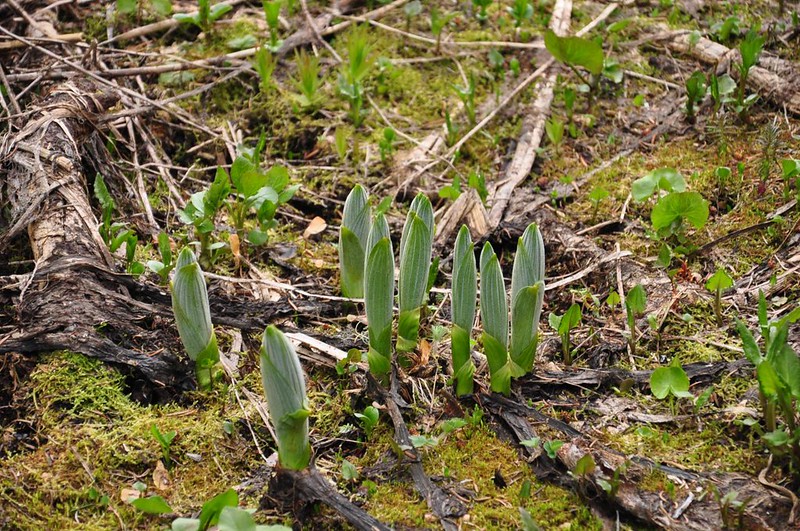
False hellebore just starting to shoot up:
Nom, nom. Yummy sign.

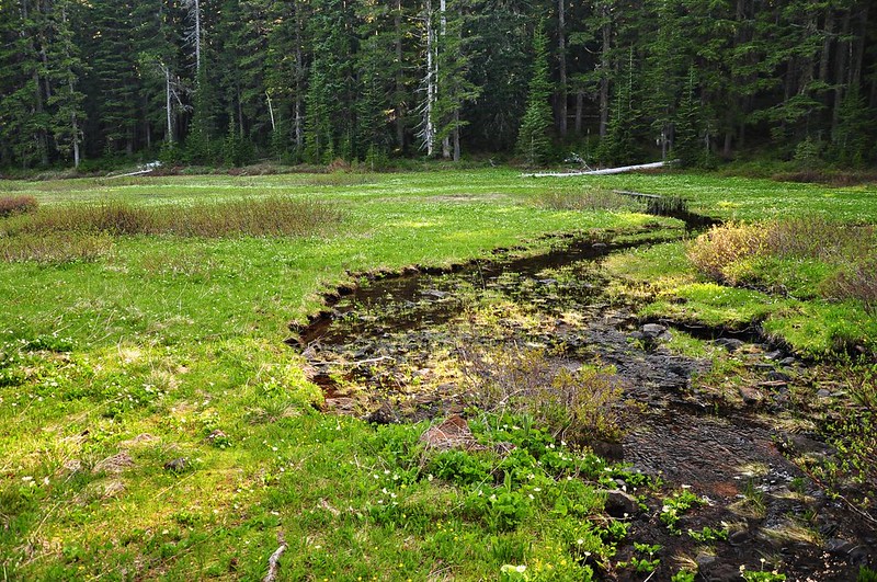
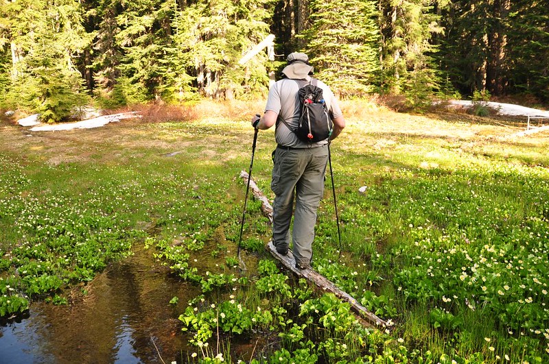
At the far end of the meadow the trail actually crosses the meadow, which was a bit tricky since it’s very wet.
It was also near this spot that we saw a couple camped on the trail with an off-leash dog who barked and barked and barked at us. Dude, control your dog.
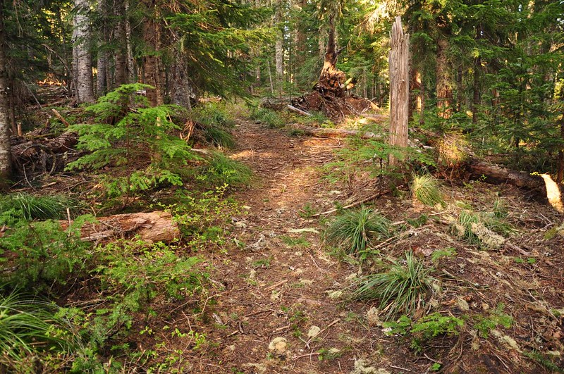
If we stayed on the 517 trail we would end up back at Frazier Turnaround where we would retrace our steps back to the car. That would have been a lot longer, though, so we kept an eye out for the abandoned trail. A little ways after crossing the meadow the main trail takes a hard left turn and the old trail goes straight. It’s so obvious that I wonder if a lot of people accidentally head down it. This picture was taken a little further along, but you can see that it’s pretty obvious (although it wasn’t like this the whole way).
Along this old trail were several nice spots.
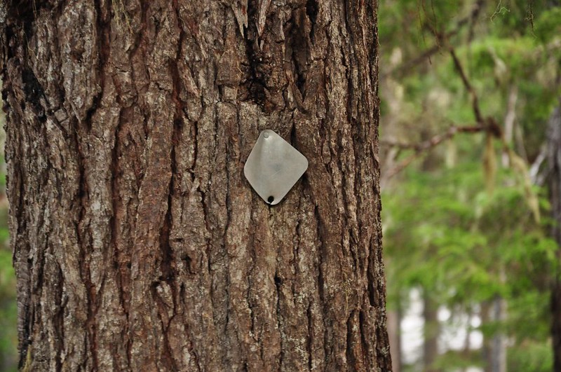
We saw an old trail marker on a tree.
The abandoned trail goes up and over a ridge, and it was on the way up the ridge that we lost the tread. There was no undergrowth at that spot so the whole forest floor looked the same everywhere. We had seen occasional flagging, but not enough to be of use since it was so widely-spaced. And we didn’t see any now. So we just headed straight up the hill to see what would happen. Amazingly enough we found the tread again up on top of the ridge and we were able to follow it almost all the way down to the Shellrock Lake Trail. We lost the tread again in the last tenth of a mile but by then we were so close it didn’t matter. Somehow we still managed to come out right by the old sign posts. Then it was a short jaunt back to the car.
We were camped at Hideaway Lake that night and thank goodness for that because I was HUNGRY! After a 10-mile hike it’s nice to have dinner close at hand, instead of an hour’s drive away.
Greg wants to go back and see Cache Meadow again to see how it looks after a few weeks. I think we’ll try the Cache Meadow Trail that starts on Road 140. It would be nice to do a loop with the unnumbered trail along Cripple Creek, but it doesn’t look like that trail goes all the way through to connect up with the Grouse Point Trail. I imagine it’s fairly easy to go cross country there.
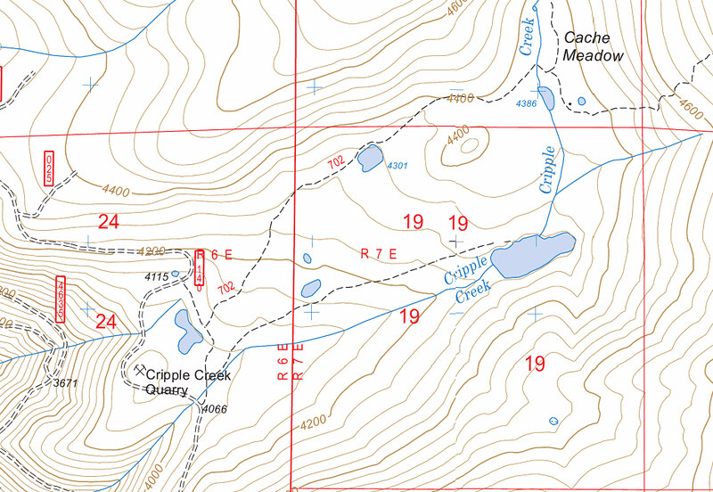
Here is our route: