After backpacking to Sykes Hot Springs my sis and I spent several days exploring the Big Sur area.
Friday
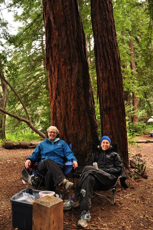
We were pretty tired and sore from backpacking so we decided to take it easy on Friday. As it turned out we didn’t have much choice about taking it easy because it started pouring down rain Thursday night. It rained so hard that mud was splattered up the sides of the tent.
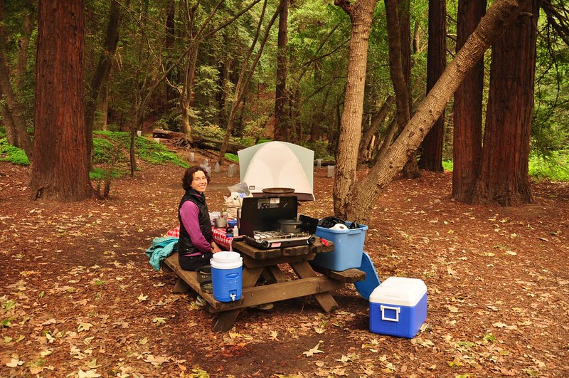
Fortunately by the time we woke up the rain had mostly abated, but we still ate our breakfast under two sheltering redwoods at our campsite to avoid the mist/drizzle.
Taking advantage of the break from the downpour we headed down to Julia Pfeiffer Burns State Park, about 30 minutes south. We headed to the viewpoint for McWay Falls, a nice waterfall that drops right down onto a beach.
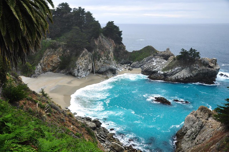
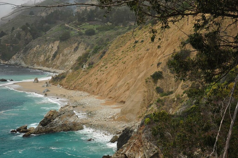
Until 1983 that waterfall dropped straight into the ocean. But an ENORMOUS landslide that year sent so much debris into the ocean that much of it washed up in this cove and created a beach.
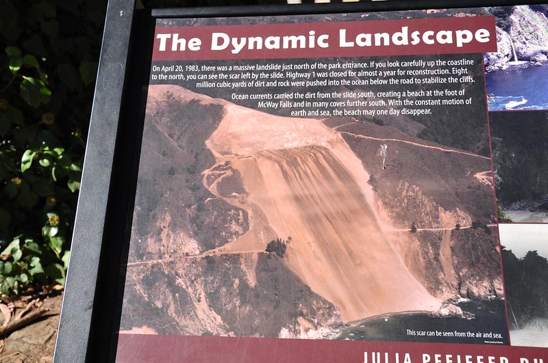
Even now, more than 30 years later, you can still see the scar of that landslide just north of the waterfall viewpoint.
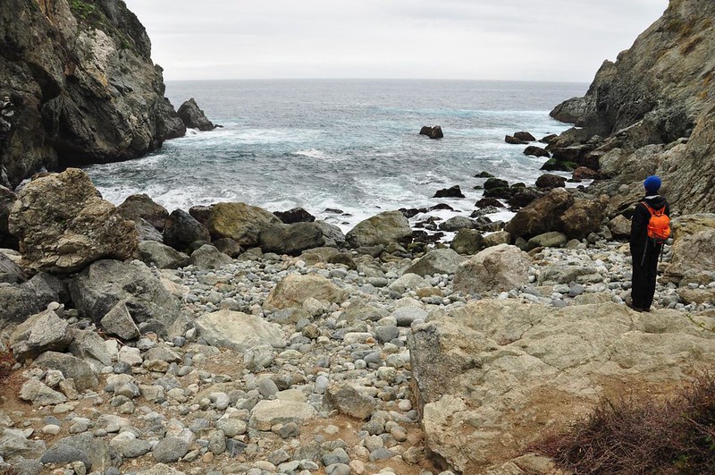
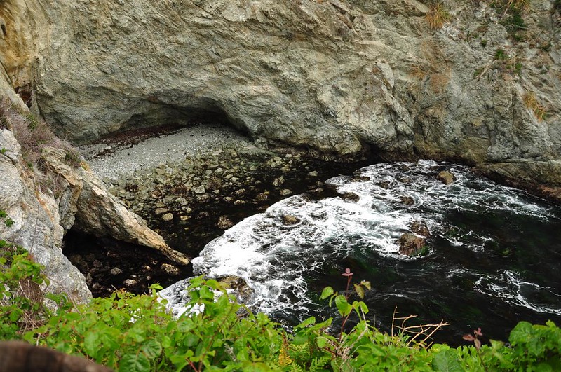
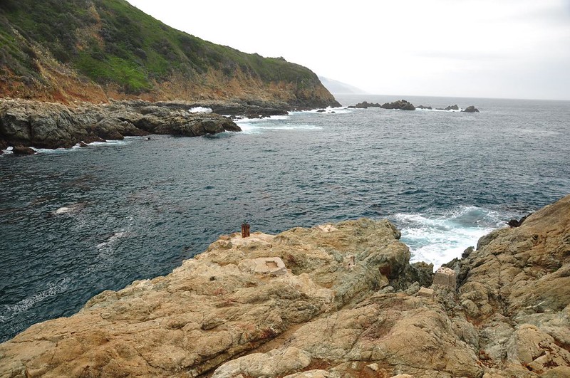
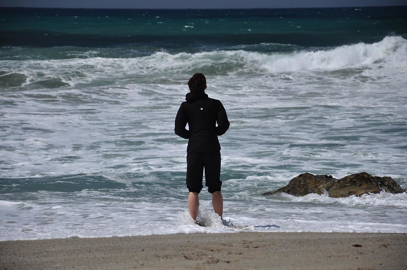
Just a short drive north of there is the trail down to Partington Cove, a nice little beach. We sat there for awhile watching the waves.
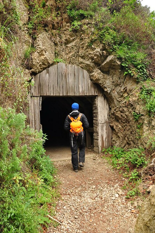
A side trail crosses Partington Creek and leads to Partington Landing via a tunnel. The hand-split redwood tunnel was built in the 1870s by John Partington, who harvested the bark of the tanbark oak, transported it down the canyon and through the tunnel by mule, then loaded it onto ships in the cove. Legend says that the cove was also used to smuggle booze during Prohibition.

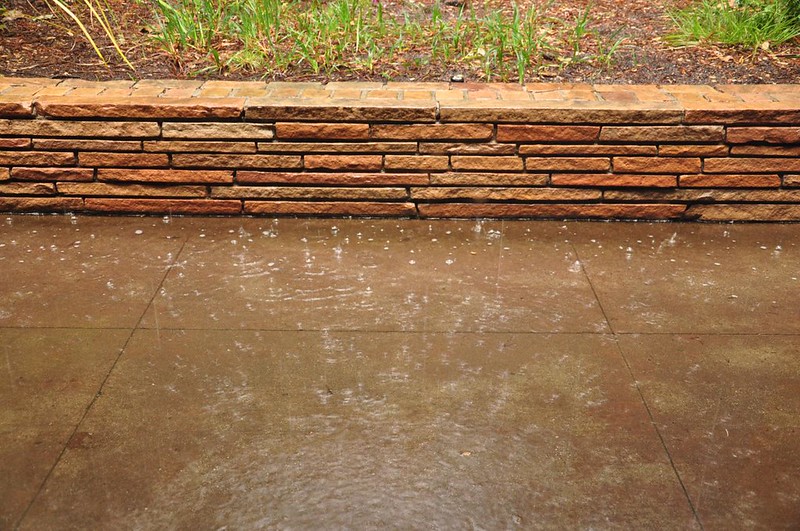
It started raining pretty hard on our hike back up to the road. It wasn’t far to go, but we tried to wait out the rain under some trees. The rain didn’t let up, so we hurried up the trail as fast as we could. We still got soaked.
Rather than return to our soggy campsite we hung out with our expensive tea at the Big Sur Lodge near our campground. For months I’ve been hearing about the drought in California and here it was pouring down rain as if we were back in the Pacific Northwest.
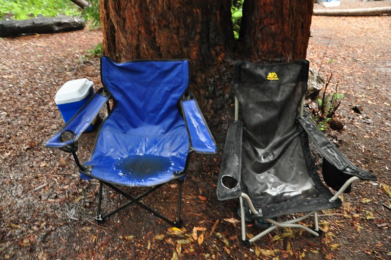
Eventually we returned to our campsite and our sad soggy chairs.
In the late afternoon the rain let up for awhile and we wandered around the park exploring.
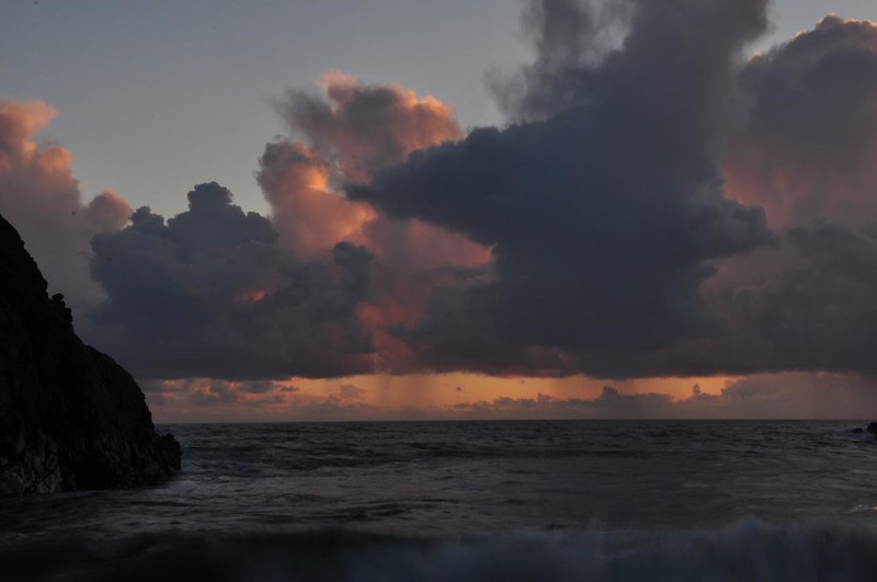
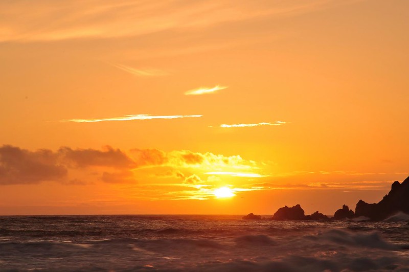
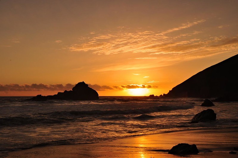
Although there was more rain the forecast the skies seemed to be clearing a big around sunset so we headed down to Pfeiffer Beach to check it out. We arrived just in the nick of time before the sun disappeared behind a whole bunch of clouds.

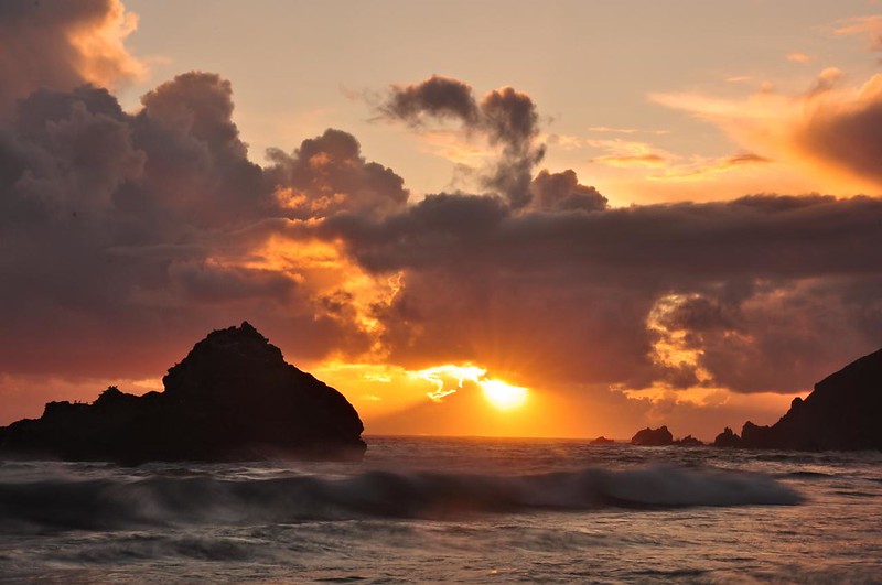
More rain headed our way.
That night it poured again. This is the sound of a tent getting muddy and filthy:
Saturday
On Saturday we headed up to Andrew Molera State Park. Right away we had to cross the Big Sur River, which has no bridge, but is easy to wade. (Our guidebook said there was a seasonal bridge here, but we saw no evidence to support that. Someone we talked to at the crossing said he had been there several times before and had never seen a bridge. Just one of many errors we found in that book, which was supposedly updated last year.)

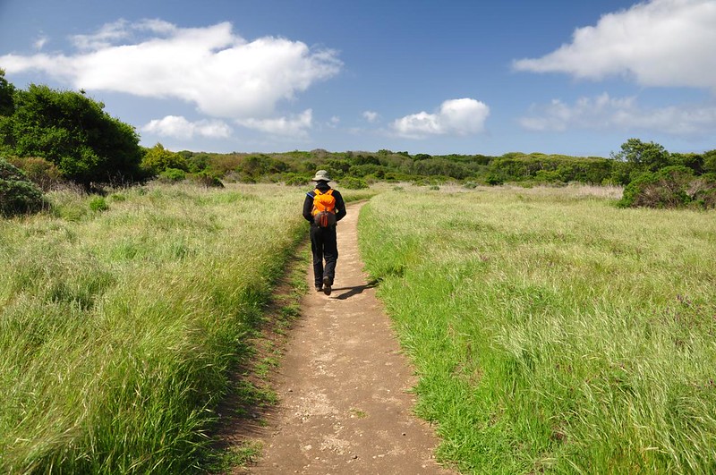
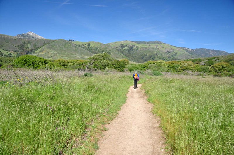
The first part of the hike took us through Creamery Meadow, a former pasture for cows that produced Monterey Jack cheese.
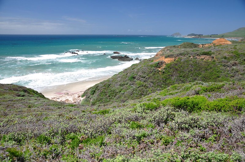
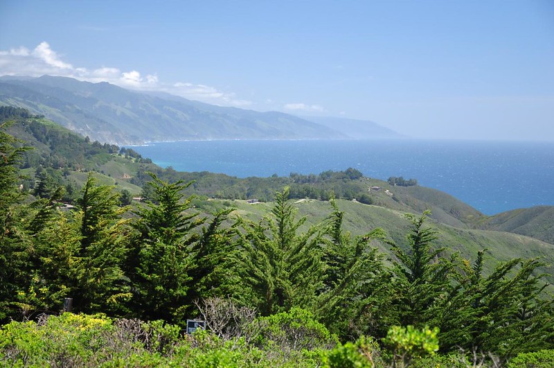
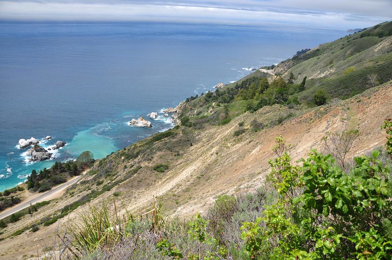
Then our route turned south to follow the Bluff Trail above the ocean. The beach at upper right is where the Big Sur River flows into the ocean.
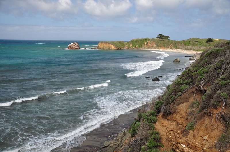
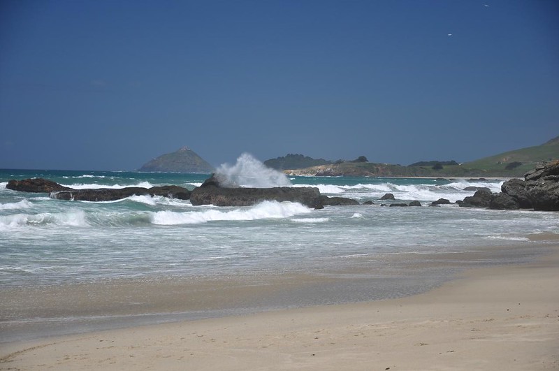
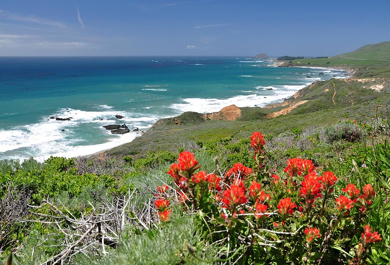
The ocean views were really lovely.

The landscape is so different from the beaches at home. There are almost no trees here.
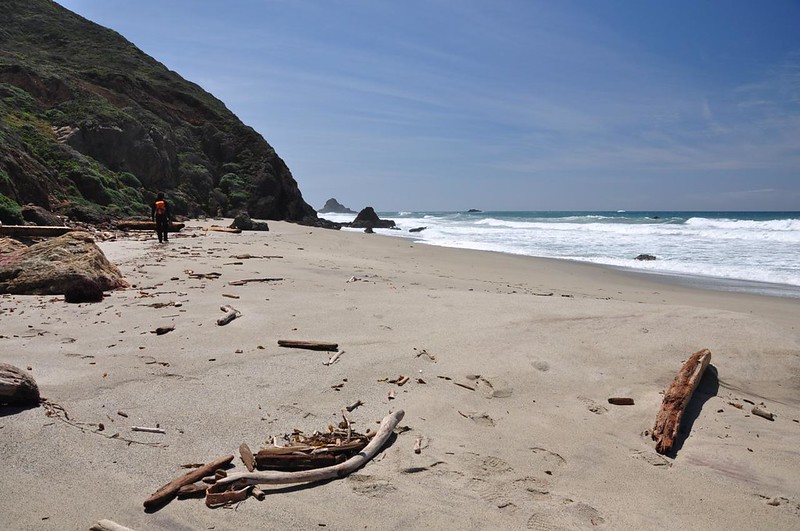
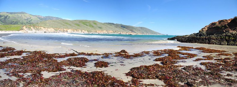
After 2.8 miles we took a short side trail down to a little secluded beach. An astonishing amount of driftwood has piled up here!
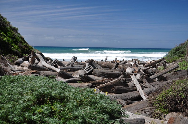

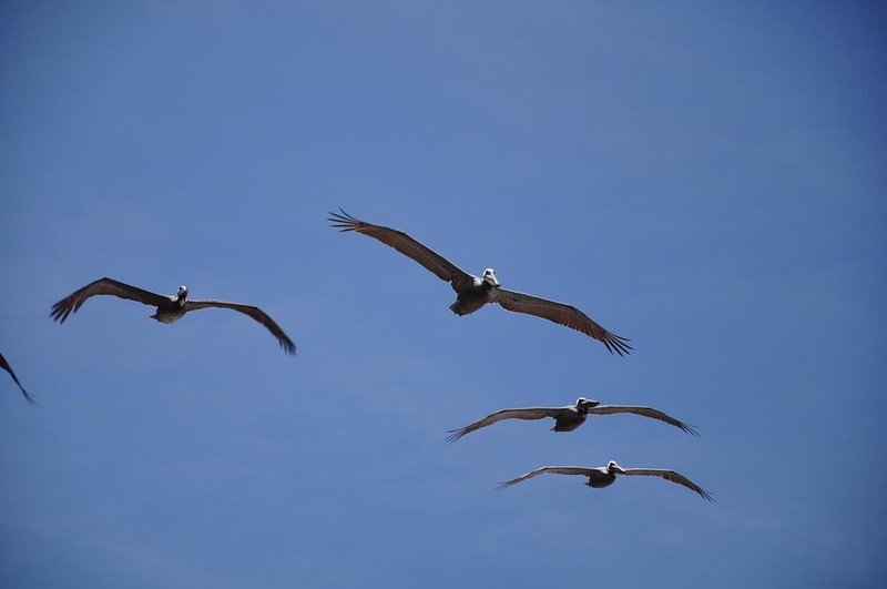
We sat on this oh-so-lovely beach for awhile, enjoying the gorgeous sunshine, crashing waves, and passing pelicans. (The reddish purple areas on the sand, by the way, are from a rare mineral called almandite.)
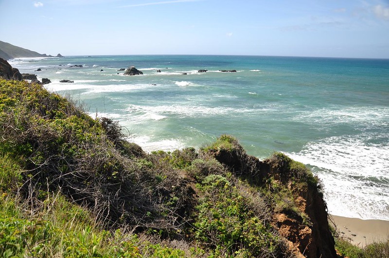
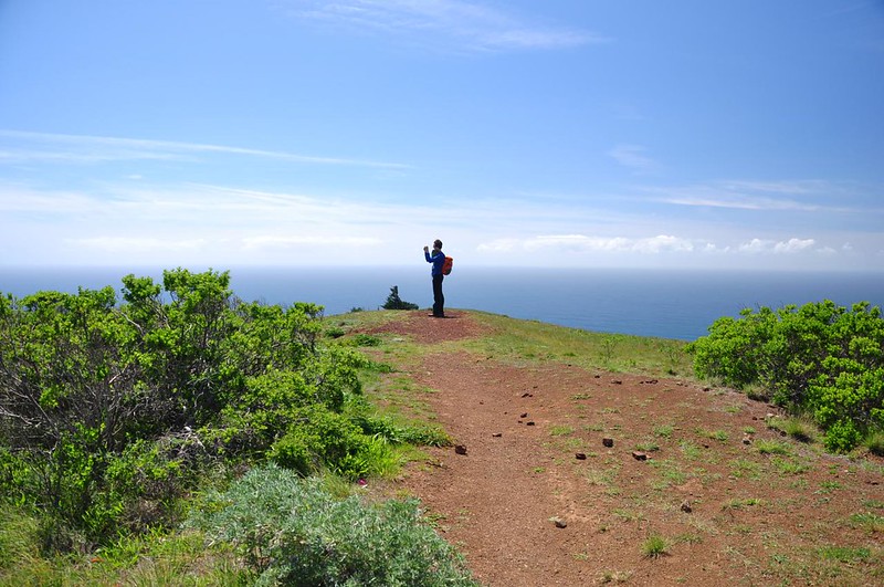
We continued on our way, starting to climb up higher. We could see down on our little beach.
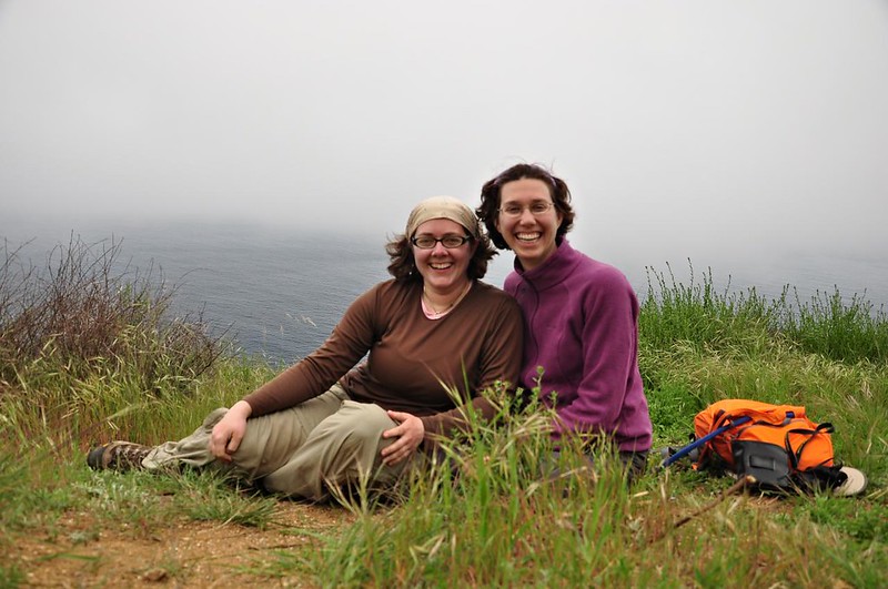
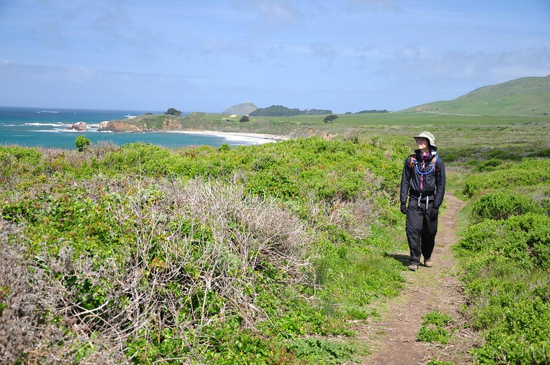
The higher we hike, the better the views became (and the windier it got!)
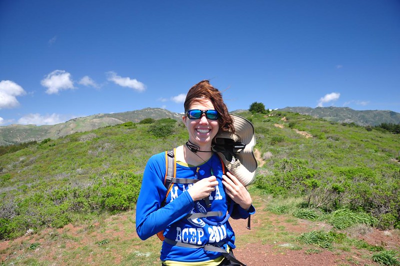
A VERY windy spot on the way up.
The sideways hair doesn’t even begin to convey how windy it was.
We were now at the southern border of the park and just beyond was private property were multi-million dollar homes sit high above the ocean.
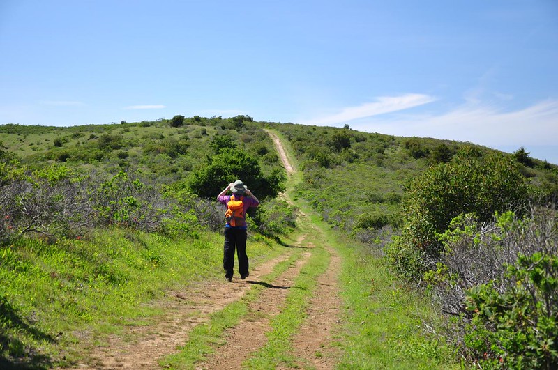
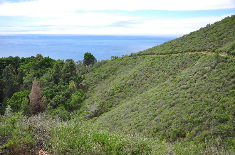
Now our route turned north again on the Ridge Trail, which is an old fire road. Up here there were some trees.
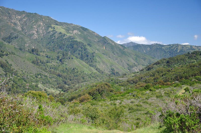
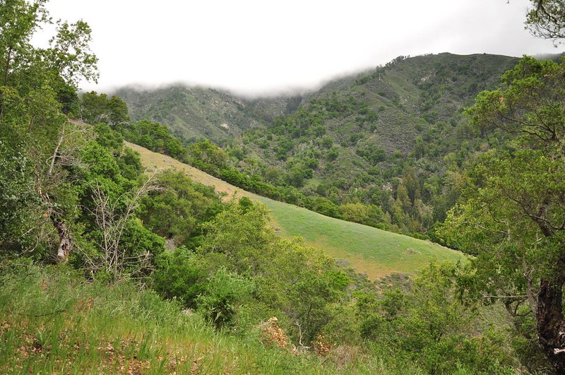
Then the landscape opened up again and we were treated to views of the mountains due east of us.
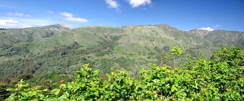
Way down in that canyon is the Big Sur River.
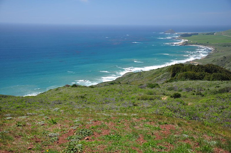
To the west was the BLUE BLUE ocean. So beautiful!
Once we were down off the bluffs we took a side trip to Molera Beach. It’s a little hard to tell from this picture, but the placid Big Sur River is flowing into the ocean at far right.
Back through Creamery Meadow towards the car.
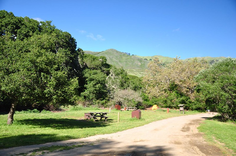
We took a moment to check out the walk-in campground here. It’s pretty nice, if you don’t mind the 0.3mi walk from your car.
We chowed down on dinner….
….then rushed down to Pfeiffer Beach for the sunset. Lovely!
Sunday
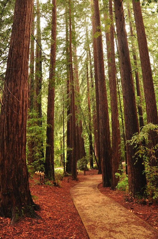
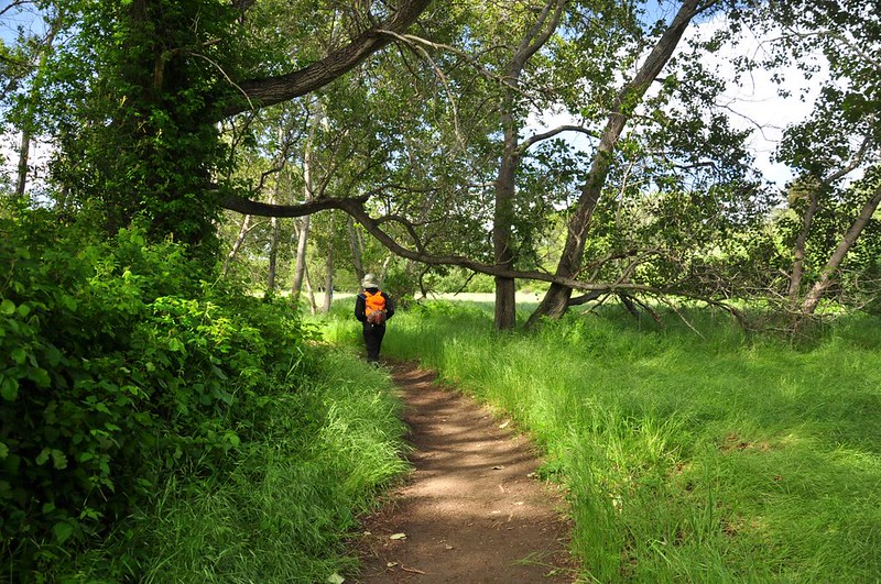
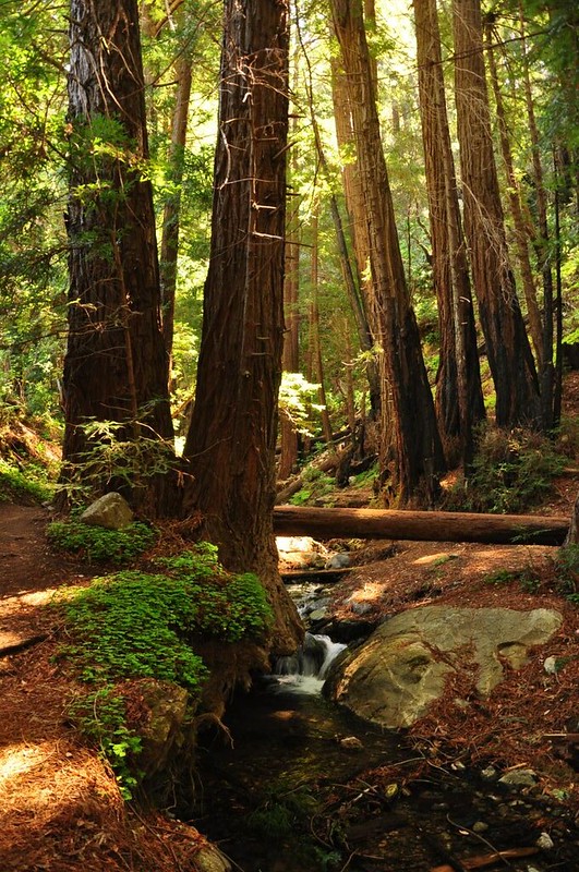
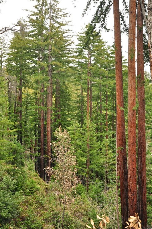
On our last full day in Big Sur we returned to Julia Pfeiffer Burns State Park to hike the Ewoldsen Trail. The first part of the hike follows McWay Creek (which splashes down onto the beach in a waterfall just a short ways downstream). It’s absolutely lovely here with the redwood canopy above!

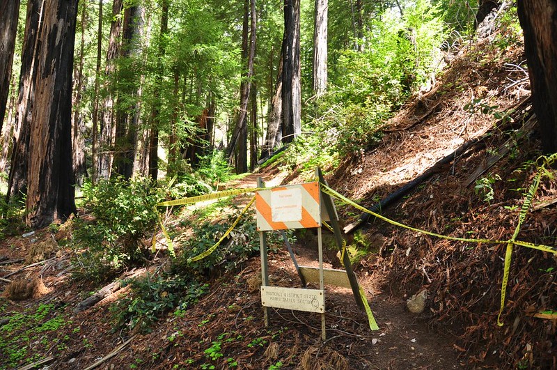
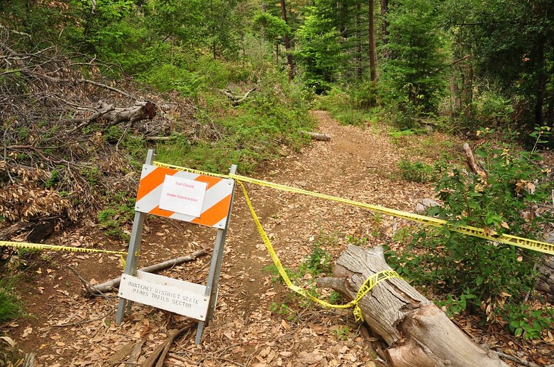
When we got to the loop junction we were surprised to discover that half of the loop was closed. There had been no signs about this at the trailhead.
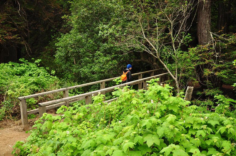
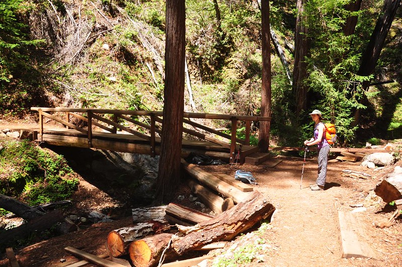
So we crossed a new-looking footbridge and did the other half of the loop.
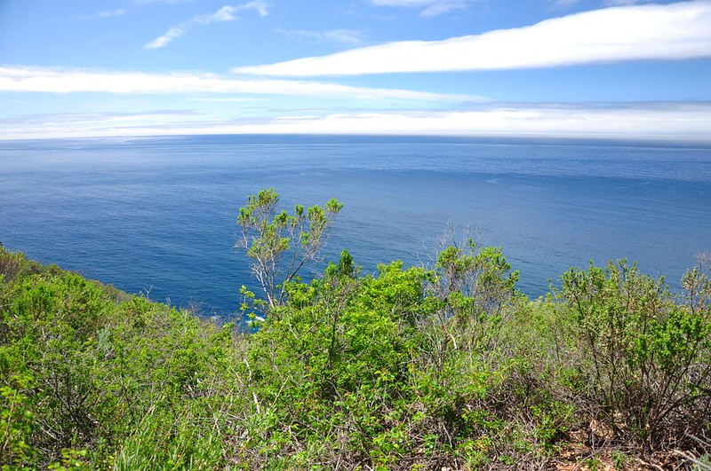
Looking out onto that stunningly blue ocean.
We hiked right over the top of the 1983 landslide that we had seen two days earlier from a different vantage point.
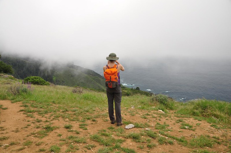
The day wasn’t as clear as Saturday and we found ourselves hiking up into the clouds.
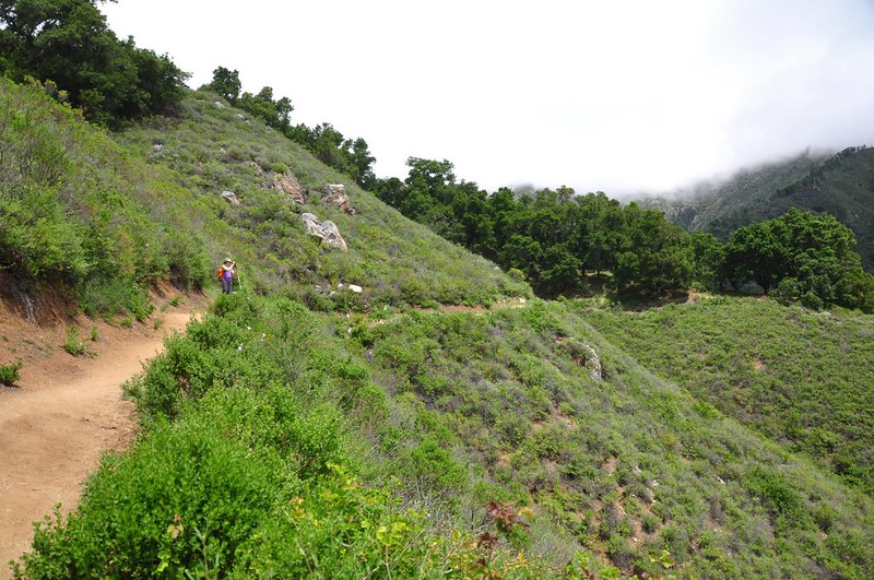
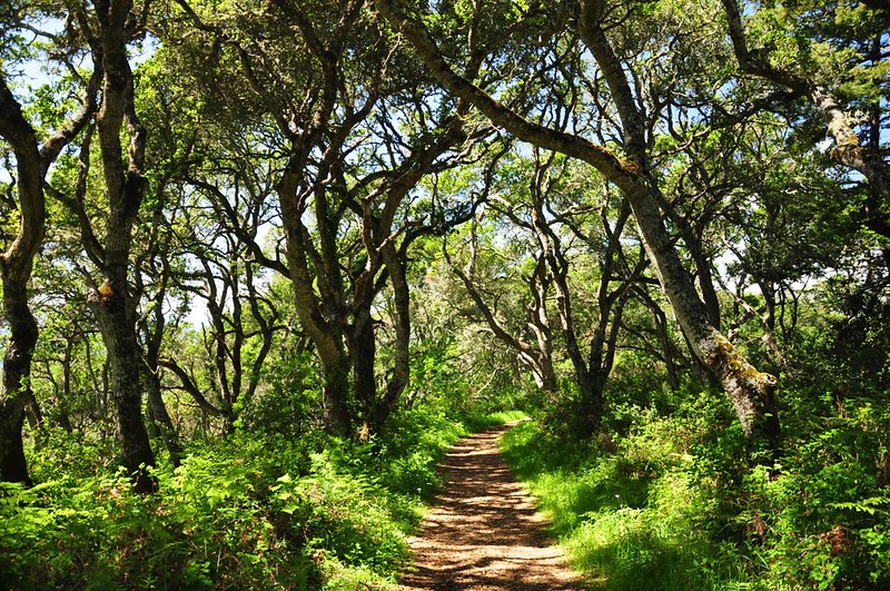
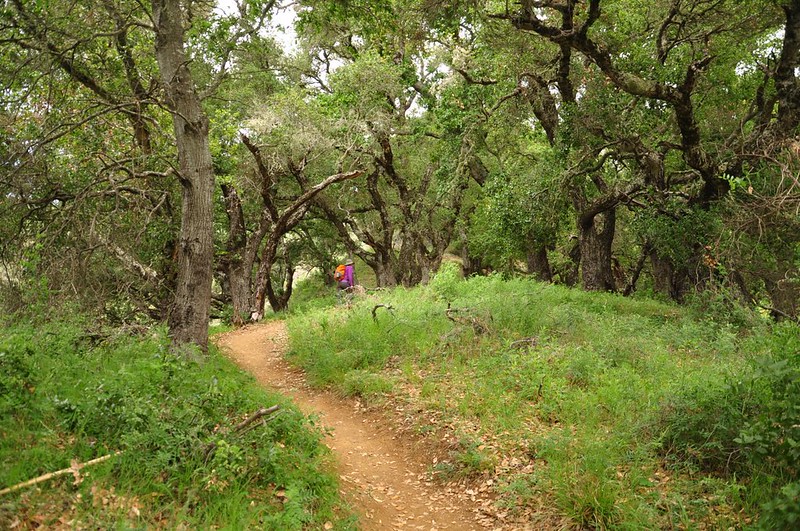
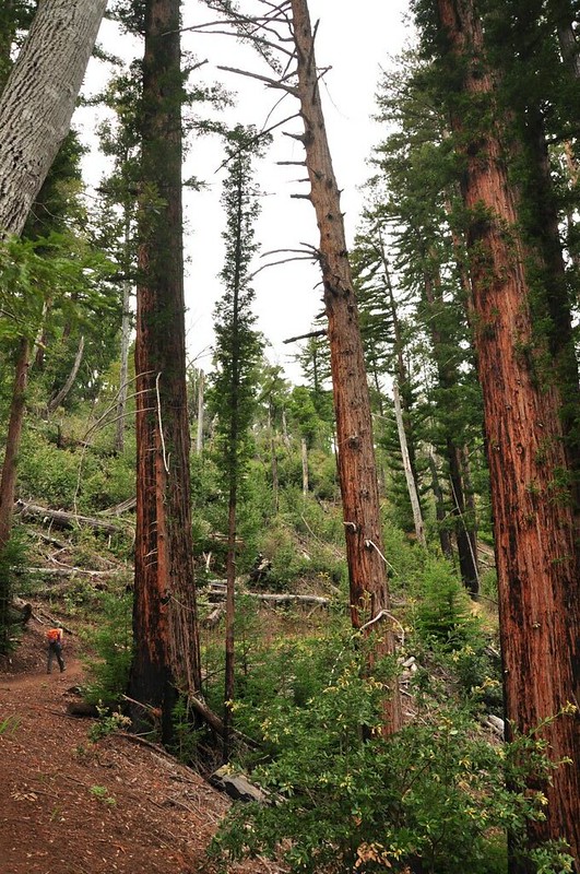
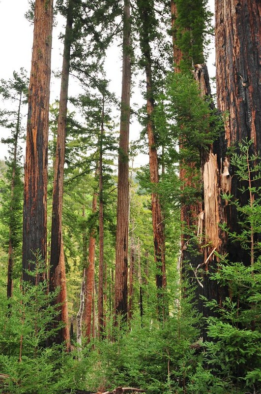
We passed through open areas and forests of oak and redwood.
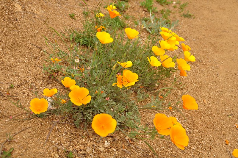
Poppies!
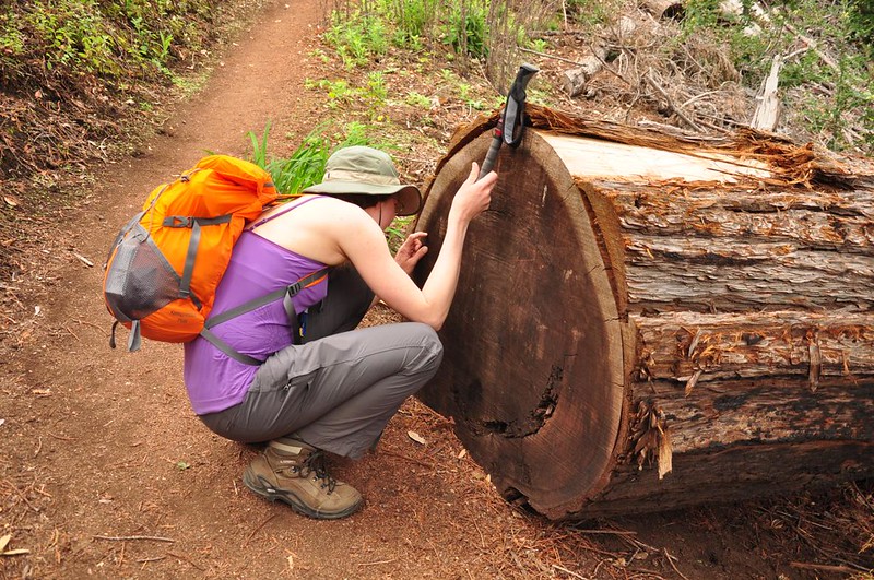
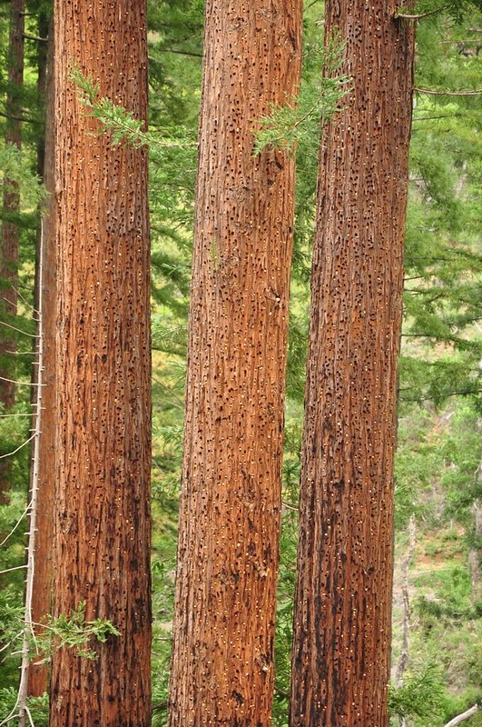
Of course the park ranger had to count the tree rings. About 300 of them!
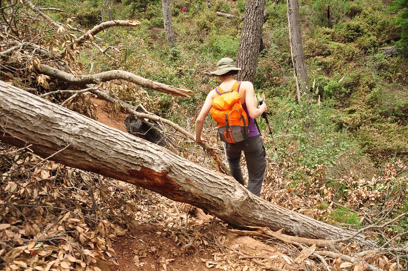
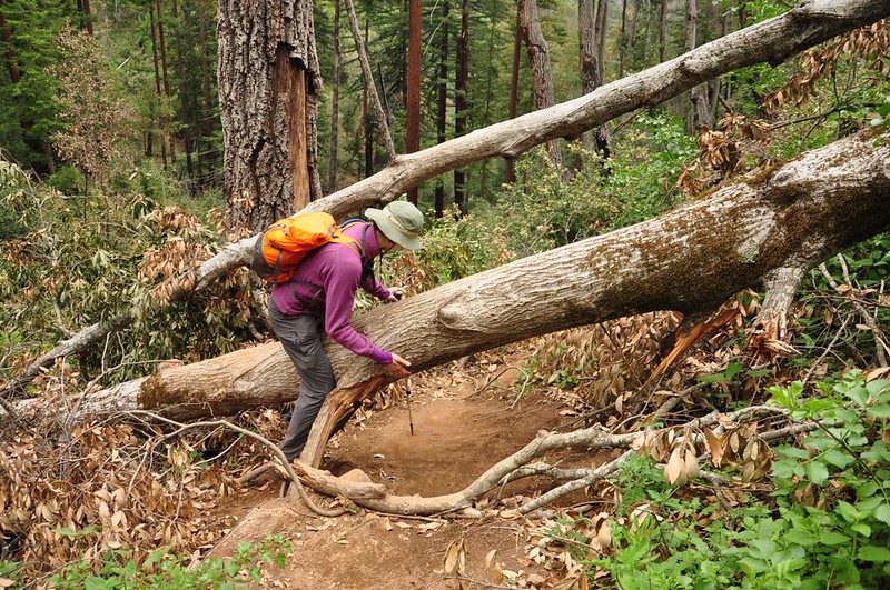
Whatever California State Parks is spending day use fee money on, it sure ain’t trail maintenance. I lost count of how many trees we climbed over/under.
The acorn woodpeckers have been busy stashing acorns in the trees here.
The other end of the trail closure.
Up on top at the end of the trail was a lovely viewpoint that we had all to ourselves. Unfortunately we were totally in the clouds at this point and there wasn’t much of a view.
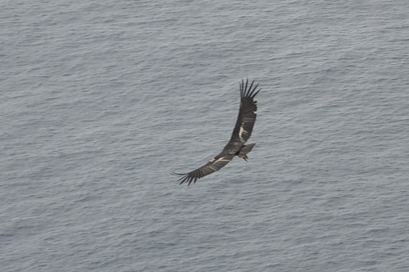
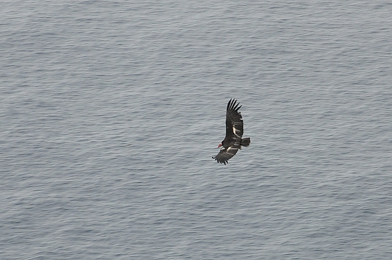
BUT, that was okay because we got to see a condor! California condors are a threatened species due to habitat loss, lead poisoning (from eating animals that have been shot with lead bullets), and poaching. It doesn’t help that they only lay one egg a year. Various organizations raise condors in captivity and then release them. Big Sur is one of three release sites in California and condors are spotted frequently on this trail. It was exciting that we actually got to see one! (In November 2012 Oregon Field Guide did a segment on condors, which I highly recommend.
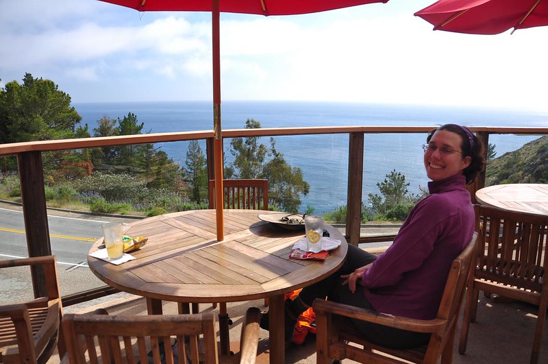
We hiked back down and started back towards the campground. But since the campground is in a dark forested canyon and we wanted to enjoy the sunshine a big longer, we stopped at Big Sur Coast Gallery Cafe, got lemonade and chips, and enjoyed the view.
Monday
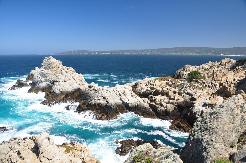
Time to start driving home today, but before we did we stopped at Point Lobos State Reserve, just south of Carmel.
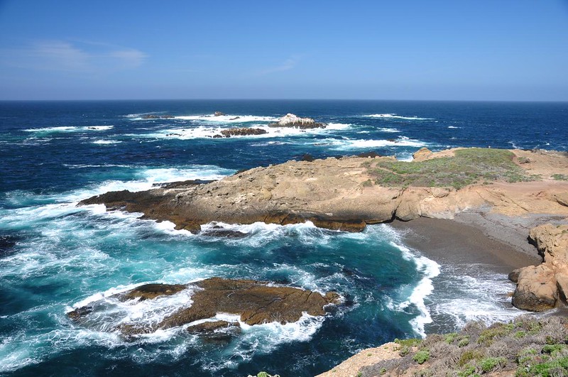
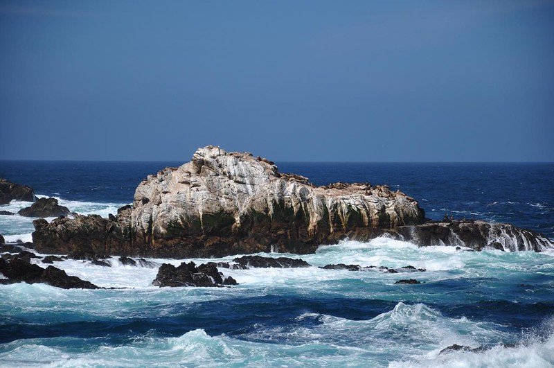
Sea lions like to hang out on the rocks offshore. We could hear their barking loud and clear, even over the crashing waves.
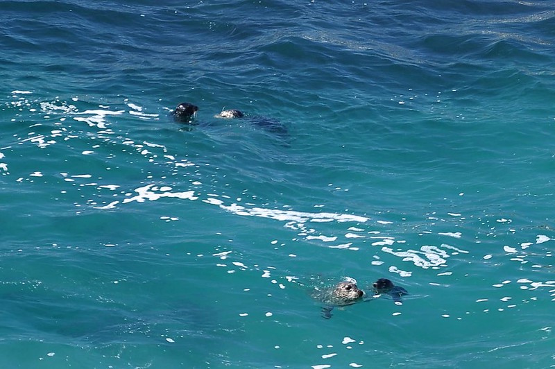
In one of the little coves we were treated to a view of two sets of harbor seal pup and parents bobbing in the waves!
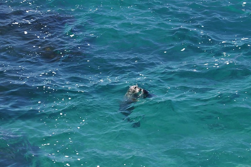
There were park docents with tripod-mounted scopes and one of them was focused on some sea otters floating in the kelp beds offshore. It was the first time I had ever seen an otter in the wild. I couldn’t photograph, though the scope, obviously, but trust me when I say that it was very cool.
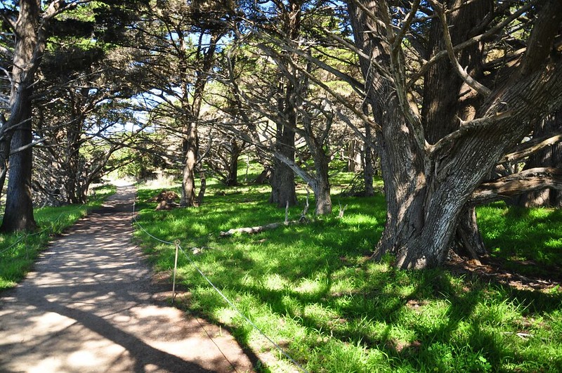
We checked out the cypress grove.
And got a nice view of Monterey Bay.
Then it was time to head home. I’m glad we visited this gorgeous part of California, and we had a great time!