Sunday, May 24, 2020
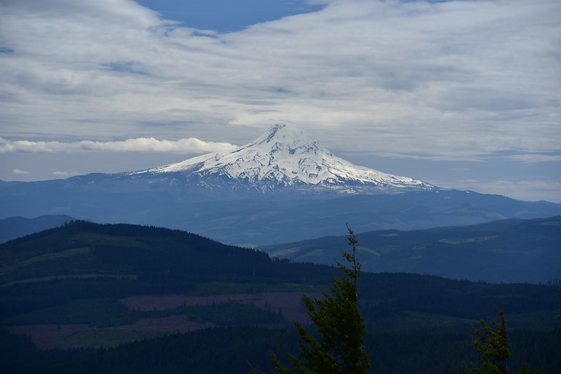
Today we hiked up Nestor Peak via the Buck Creek Trail in southwest Washington. We started at the Buck Creek Trailhead #1 where we had a nice view of Mt. Hood:

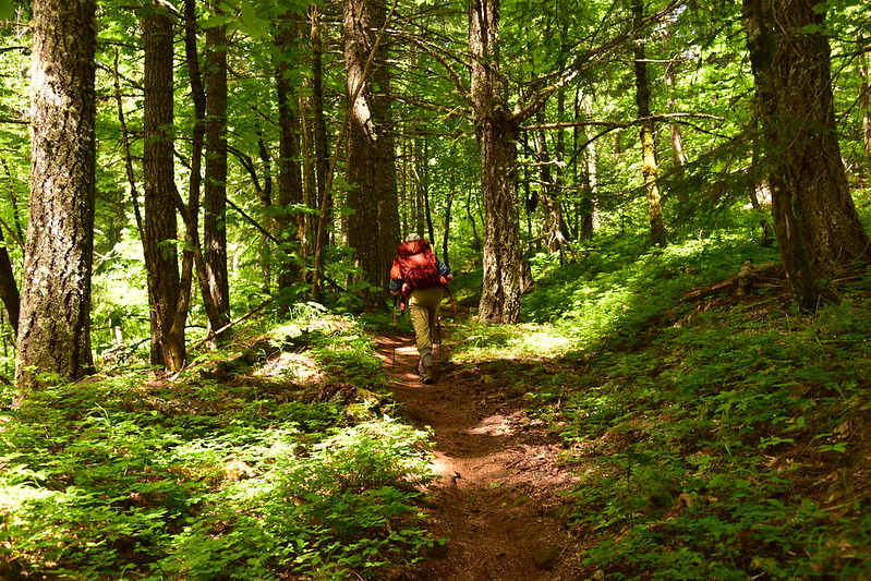
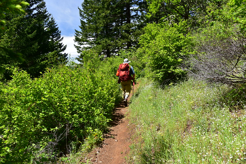
The trail starts on the other side of the road, then re-crosses the road at 0.8 mile. The forest was lush and green:

The trail reached Road N1300 and we turned left for a 0.7 mile road hike:

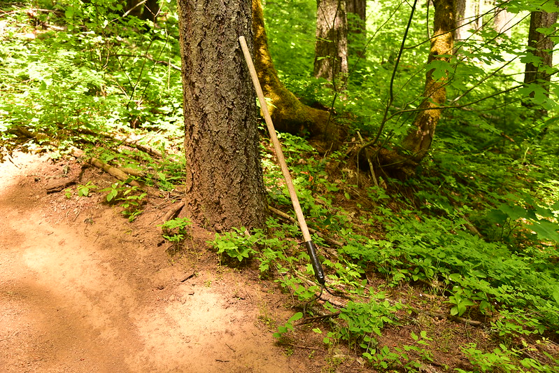
We picked up the Buck Creek Trail again and headed up hill. We passed a random rake by the side of the trail:
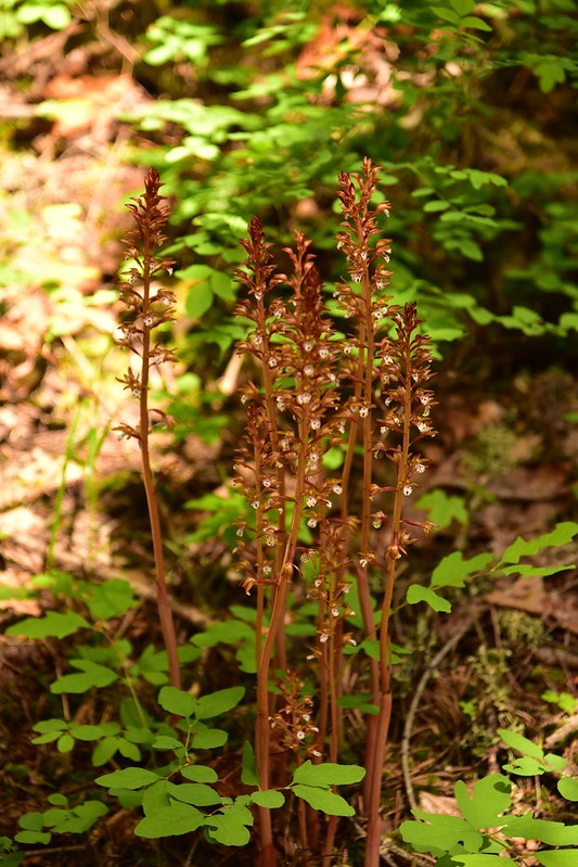
We saw a nice patch of pinedrops:
We crossed several roads and kept climbing up, up, up through the forest. There wasn’t much to see.
At 3.3 miles we emerged into this nice meadow with an ancient trail sign:


And then finally after four miles of hiking we reached the summit:

There is a road to the top so the very last stretch of the hike was on the road:

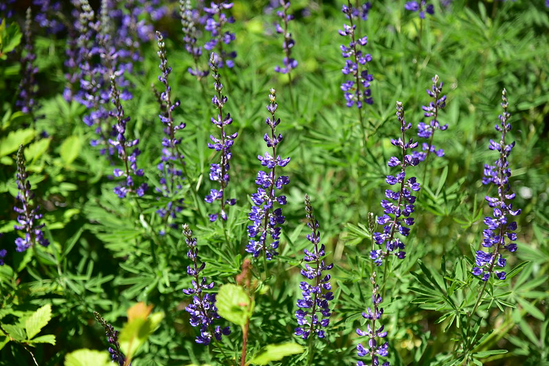
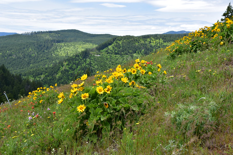
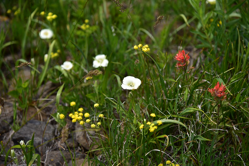
The wildflowers up there were quite lovely:


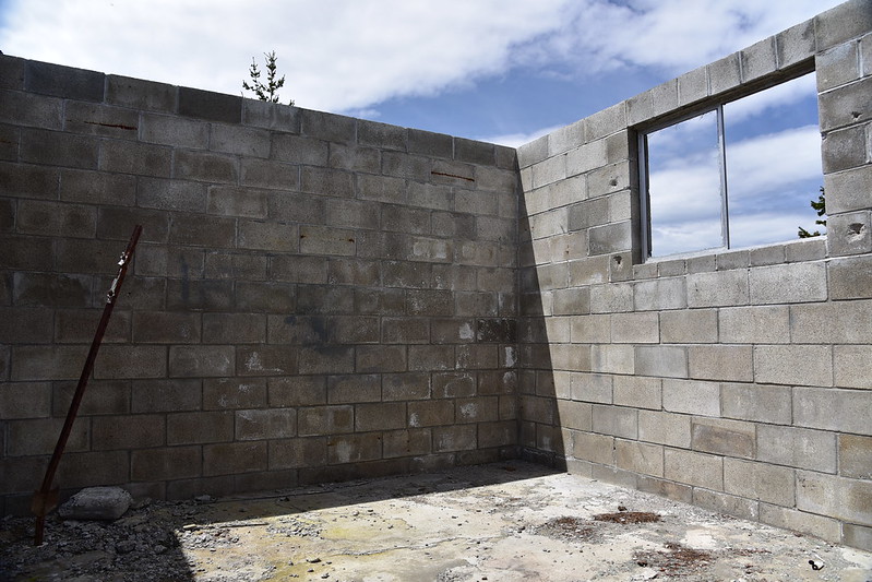
There used to be a lookout up here and all that’s left are the walls of the old shed:

Not sure what this used to be:

It was cloudy, so we couldn’t see all of Mt. Adams:

But we could see Mt. Hood:

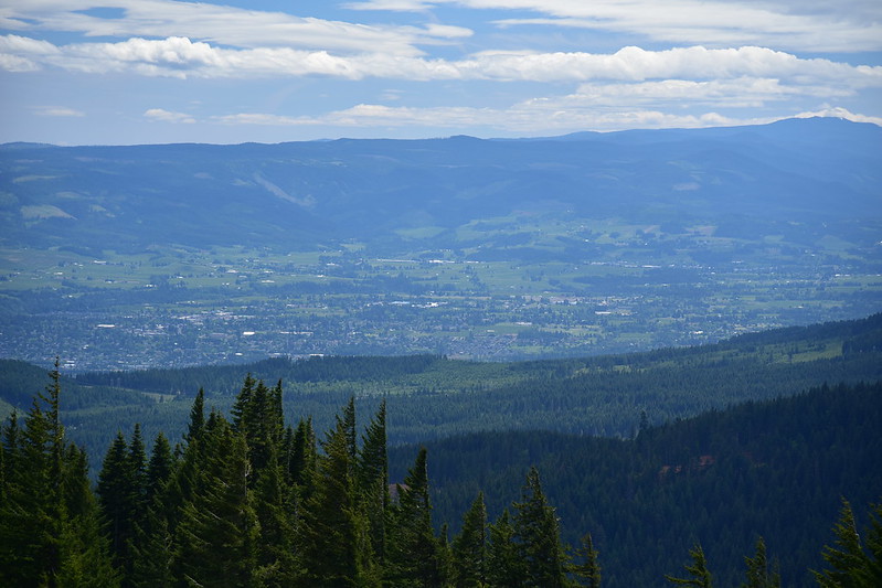
And the Hood River Valley:
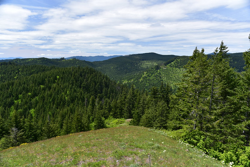
Looking northwest:
After taking a break we began the four mile descent back to the car. Rather than follow the last mile of trail back to the car, we road-hiked N1300 to Road N1000 and then back to the car:

Our total was 8.1 miles and 1,890′ elevation gain. If we were to do this hike again we would park at the last road crossing, which we crossed at 2.7 miles. This would cut out nearly 5.5 miles of boring trail.


