Saturday, June 20, 2020
We spent the weekend camping near Newberry Crater. We drove around the Forest Service roads south of Road 21 looking for a dispersed camping spot. It seems like dispersed camping isn’t a thing here. We saw no one camping and saw no spots. We ended up camping on an abandoned dirt road:

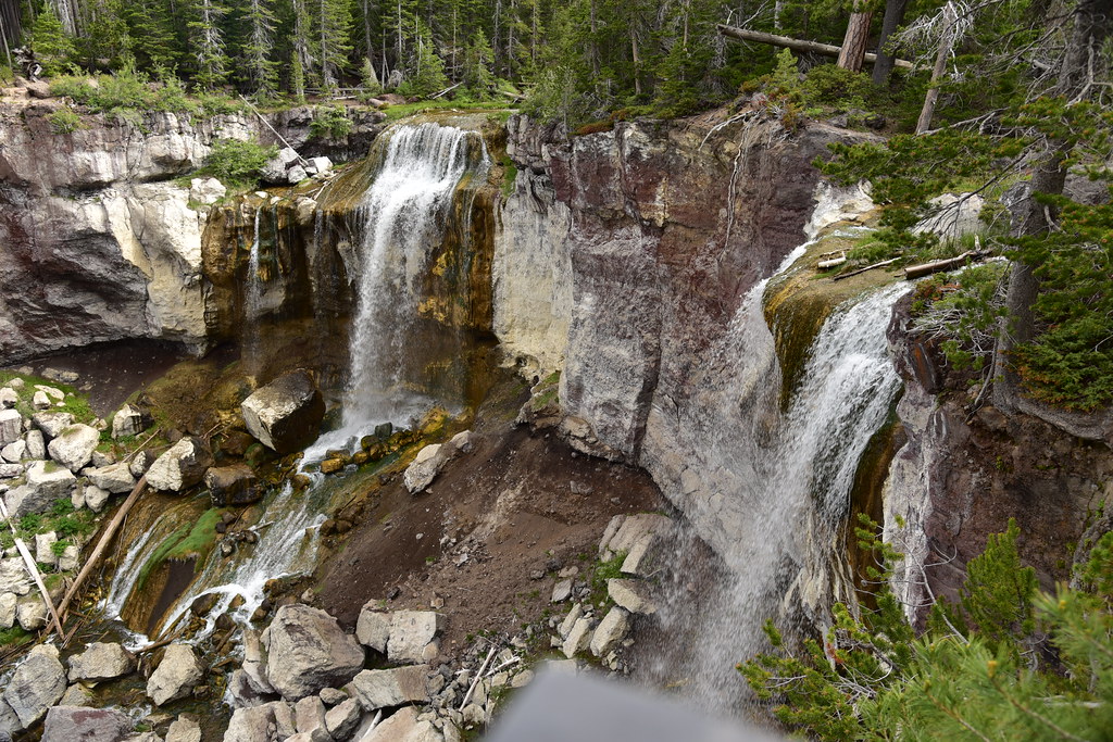
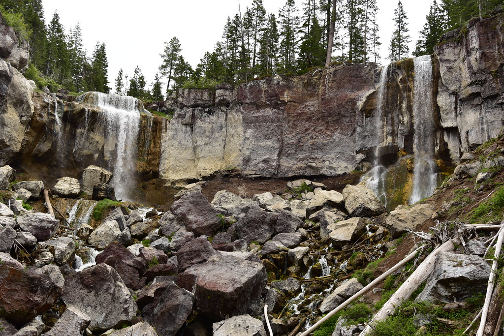
On Saturday we headed up to the Newberry Crater and our first stop was Paulina Creek Falls:
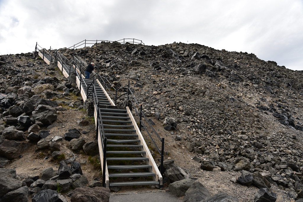
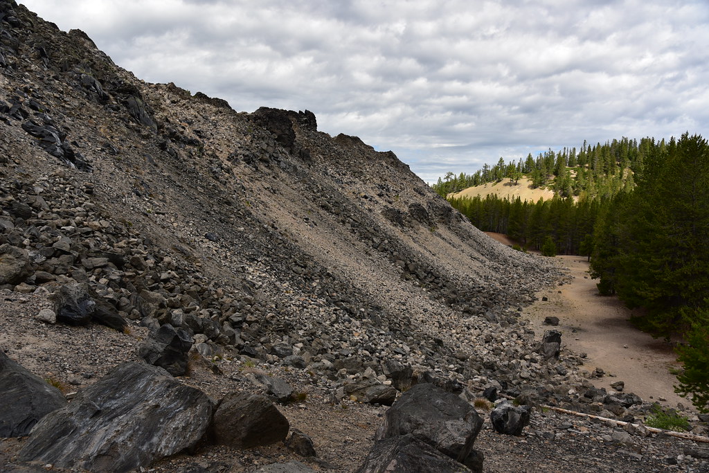
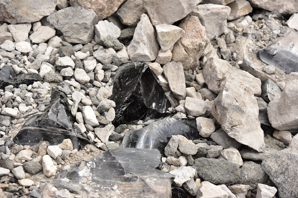
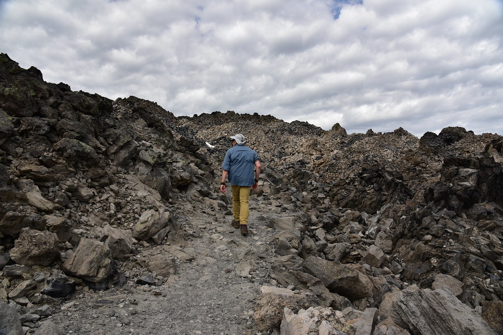
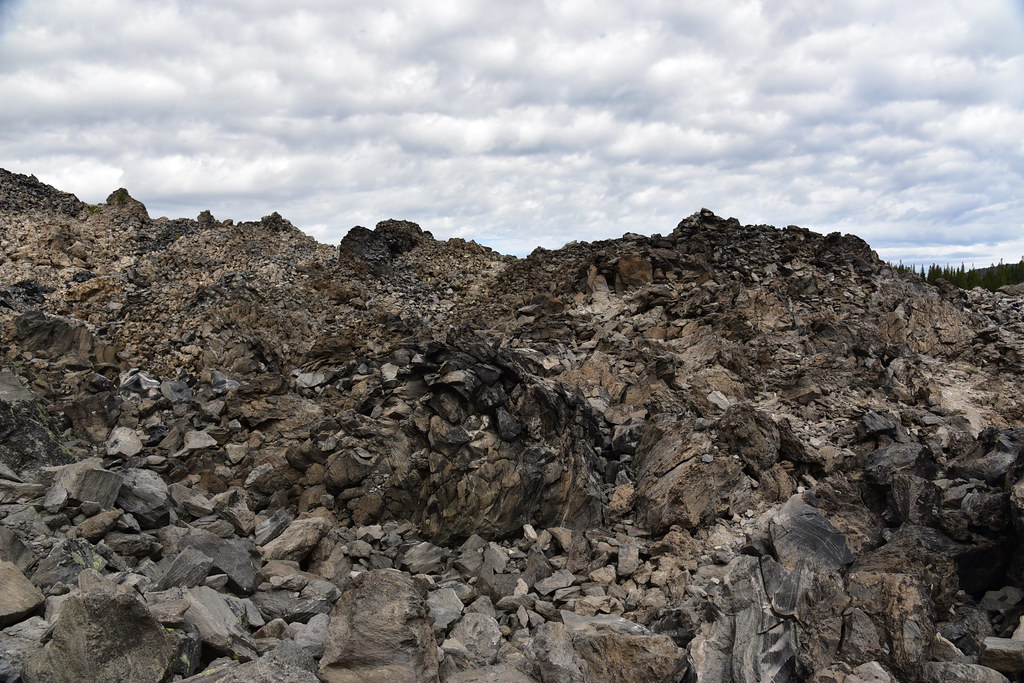
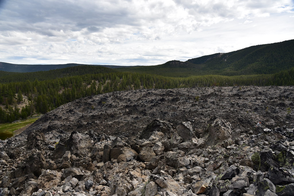
Next we headed over to the Big Obsidian Flow. This 1.1 square mile flow is 1300 years old and is 150 feet thick, which is the height of a 17 story building! The flow is made up of obsidian and pumice. Native peoples prized obsidian for its sharpness and fashioned arrowheads out of them. There’s a short interpretive trail on top of the flow:


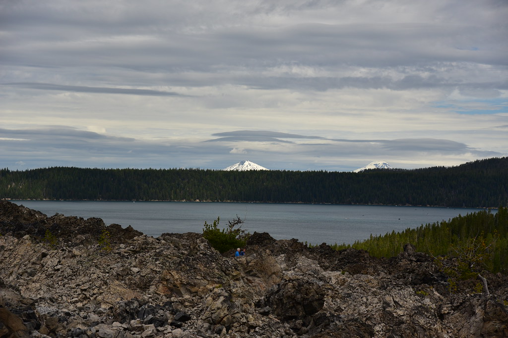
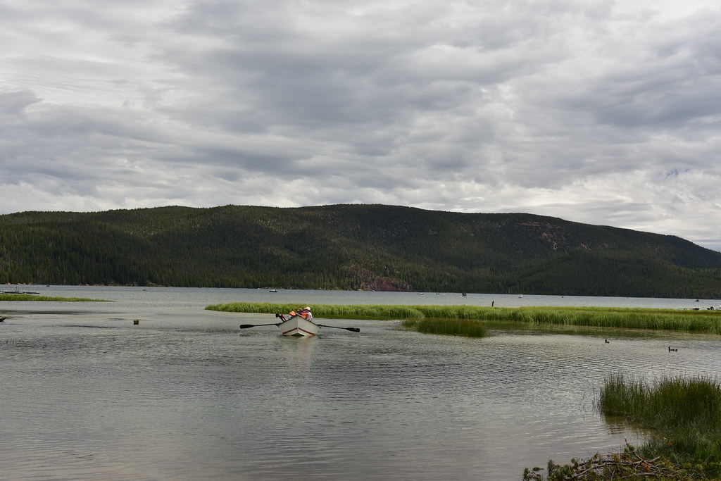
View of Paulina Lake with Mt. Bachelor and South Sister:
View of Paulina Peak:

Penstemon:

There were some tenacious trees growing here:


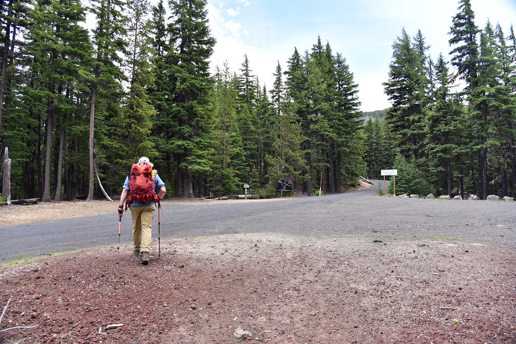
Next up was the hike to Paulina Peak. We parked at Paulina Lake:
The visitor center is closed because of COVID-19. Our trail started to the left of the center.

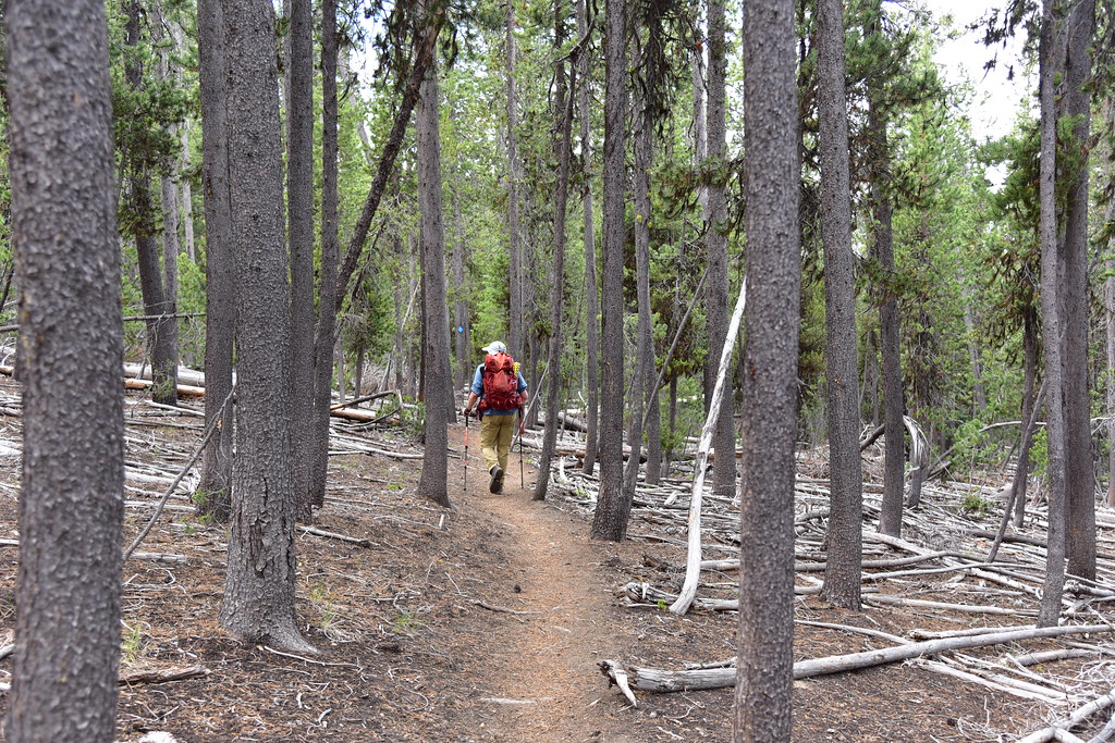
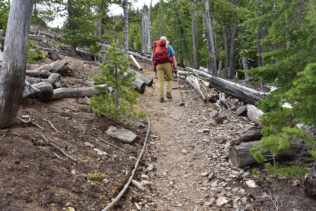
We set off through the trees:
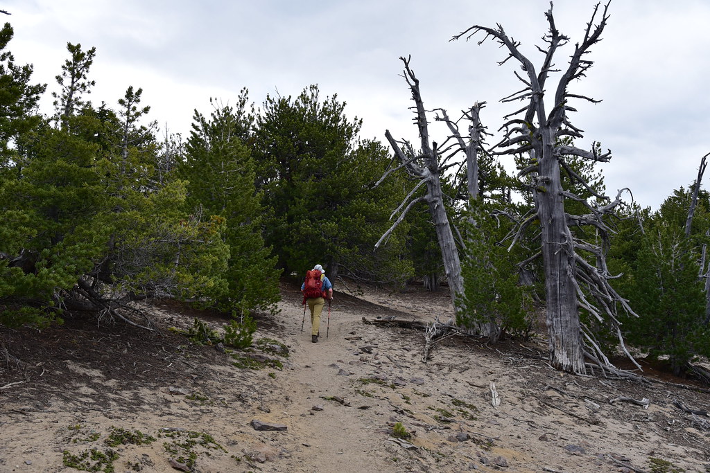
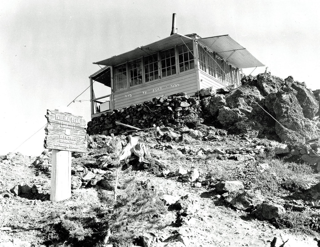
The first mile was very gentle, then we crossed the road to the peak. Sometimes this road is open for people to drive to the top, but not right now. The trail is old, dating back to the early 20th century when a lookout was first built up here, but the road wasn’t built until the late 1950s when the Air Force installed a radar station at the summit:
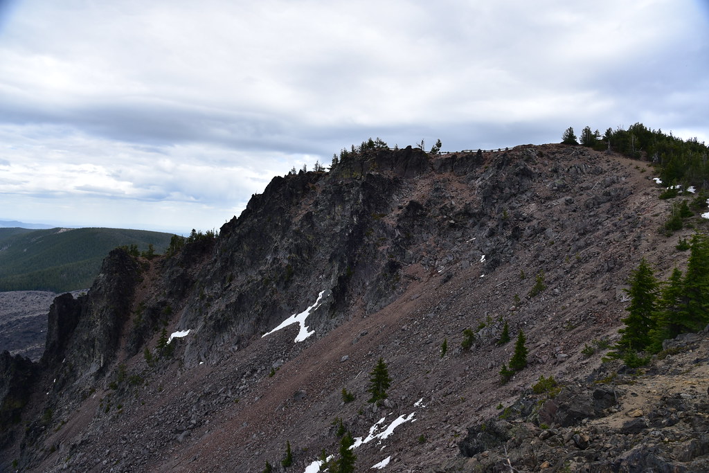
After that the trail got very steep. It just shot straight up the mountain:
A view to the summit ahead. Still some climbing to go!

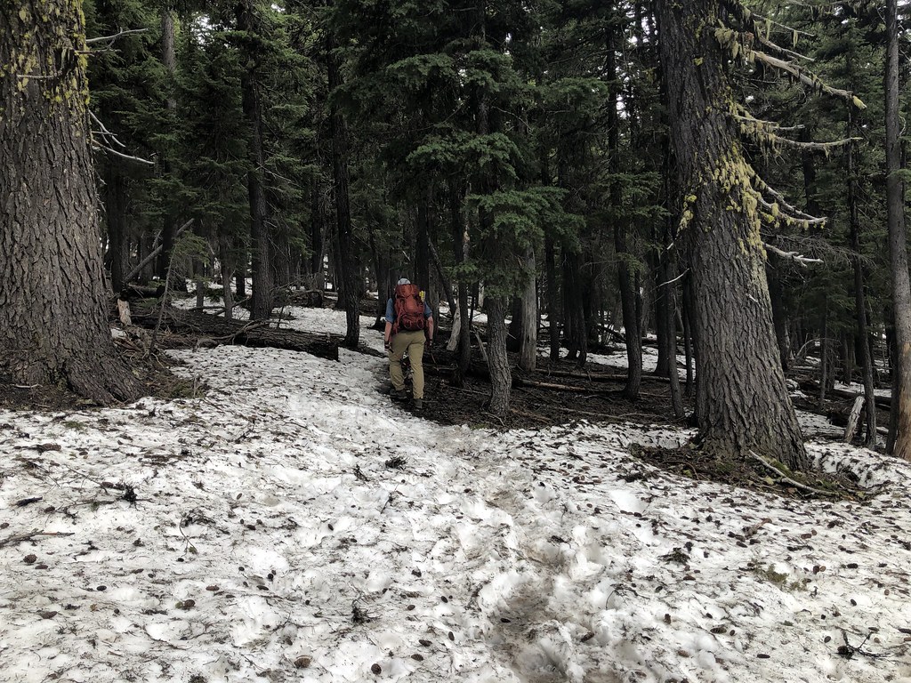
We hit snow:
Near the summit we started passing through the whitebark pine. Insects, disease, and climate change are threatening these high elevation trees:
Almost to the summit area:
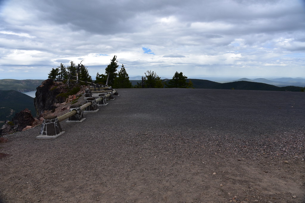
We made it! The parking area was empty of course since the road is closed:
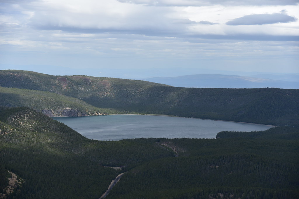
Paulina Lake:

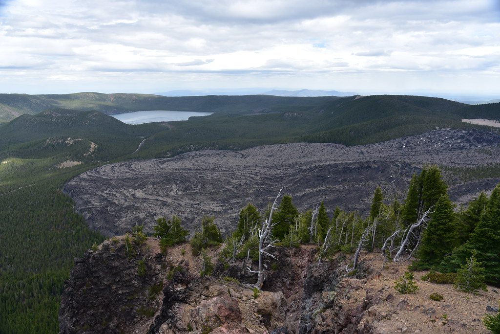
East Lake and the Big Obsidian Flow that we had visited early. It looks WAY more massive from up here:
Contrary to the forecast, it was very cloudy and overcast, although we could see part of the Three Sisters:

There used to be a lookout up here, but it was removed in the 1960s:
We could see rainstorms zipping across the landscape (also not in the forecast):

One last stormy shot before heading down:

We headed down and got rained on along the way, but not for long, fortunately. I’d like to point out that we experienced rainy/cloudy weather for FIVE WEEKENDS in a row in June. June Gloom is a thing.
Our Gaia stats: 6.3 miles, 1,520′ elevation gain.


